Items Similar to Map of New Zealand Showing Maori Culture and Early Colonial Settlements, 1851


Want more images or videos?
Request additional images or videos from the seller
1 of 7
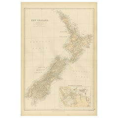
Map of New Zealand Showing Maori Culture and Early Colonial Settlements, 1851
$182.12
$227.6520% Off
£135.55
£169.4420% Off
€152
€19020% Off
CA$249.46
CA$311.8220% Off
A$277.45
A$346.8120% Off
CHF 144.88
CHF 181.0920% Off
MX$3,376.26
MX$4,220.3320% Off
NOK 1,850.28
NOK 2,312.8520% Off
SEK 1,735.24
SEK 2,169.0520% Off
DKK 1,157.12
DKK 1,446.4020% Off
Shipping
Retrieving quote...The 1stDibs Promise:
Authenticity Guarantee,
Money-Back Guarantee,
24-Hour Cancellation
About the Item
John Tallis & Company were renowned for their ornate and detailed maps in the mid-19th century. Their works often featured elaborate borders, decorative motifs, and insets of vignettes that illustrated significant landmarks, local peoples, and prominent flora and fauna associated with the region being depicted.
The map of New Zealand you've mentioned would have been created when New Zealand was a relatively new addition to the British Empire, with formal colonial control established in 1840 through the Treaty of Waitangi. It showcases both the North and South Islands, identifying key settlements, geographical features.
The insets and the main map itself in the Tallis series were designed not only for practical navigation but also to educate and enthrall the British public with the exotic appeal of their empire's distant lands. They are a mix of cartography, art, and imperial messaging, serving as historical records of how the British Empire wanted to be seen and understood during this era of expansion. These maps are treasured today for their historical value and artistic beauty.
The illustrations on the map would have been carefully chosen to depict the most recognizable aspects of New Zealand. This includes:
The images included as insets in the map are likely to be:
1. **A Maori Chief and Woman**: This medallion-style inset portrays a Māori chief and a woman in traditional attire, showcasing the indigenous peoples of New Zealand. Their clothing, facial tattoos (moko), and adornments are indicative of the rich cultural tapestry of the Māori.
2. **Wellington**: A view of Wellington, capturing its early development as a city. It may include the city's harbor, with colonial-era ships at anchor, surrounded by the rolling hills and rugged terrain that characterize the region.
3. **Mount Egmont from New Plymouth**: An illustration showing Mount Taranaki (also known as Mount Egmont) as seen from New Plymouth. The image might highlight the conical shape of the volcano, with a settlement in the foreground, indicating the European presence and their developing infrastructure.
4. **Auckland**: Depicts a coastal view of Auckland with its prominent volcanic hills in the background, and early colonial buildings and ships in the harbor, suggesting Auckland's importance as an early colonial and trade center.
These images not only provide geographical landmarks but also offer a cultural and societal perspective, emphasizing the dual narrative of natural beauty and colonial progress that was prevalent in the Tallis maps. They provide a snapshot into 19th-century life in New Zealand, reflecting both the Māori culture and the burgeoning colonial settlements.
- Dimensions:Height: 14.26 in (36.2 cm)Width: 10.71 in (27.2 cm)Depth: 0 in (0.02 mm)
- Materials and Techniques:
- Period:
- Date of Manufacture:1851
- Condition:Good given age. Original fold in middle as published. General age-related toning and soiling, please study scan carefully.
- Seller Location:Langweer, NL
- Reference Number:Seller: BG-13736-121stDibs: LU3054339297722
About the Seller
5.0
Recognized Seller
These prestigious sellers are industry leaders and represent the highest echelon for item quality and design.
Platinum Seller
Premium sellers with a 4.7+ rating and 24-hour response times
Established in 2009
1stDibs seller since 2017
2,502 sales on 1stDibs
Typical response time: <1 hour
- ShippingRetrieving quote...Shipping from: Langweer, Netherlands
- Return Policy
Authenticity Guarantee
In the unlikely event there’s an issue with an item’s authenticity, contact us within 1 year for a full refund. DetailsMoney-Back Guarantee
If your item is not as described, is damaged in transit, or does not arrive, contact us within 7 days for a full refund. Details24-Hour Cancellation
You have a 24-hour grace period in which to reconsider your purchase, with no questions asked.Vetted Professional Sellers
Our world-class sellers must adhere to strict standards for service and quality, maintaining the integrity of our listings.Price-Match Guarantee
If you find that a seller listed the same item for a lower price elsewhere, we’ll match it.Trusted Global Delivery
Our best-in-class carrier network provides specialized shipping options worldwide, including custom delivery.More From This Seller
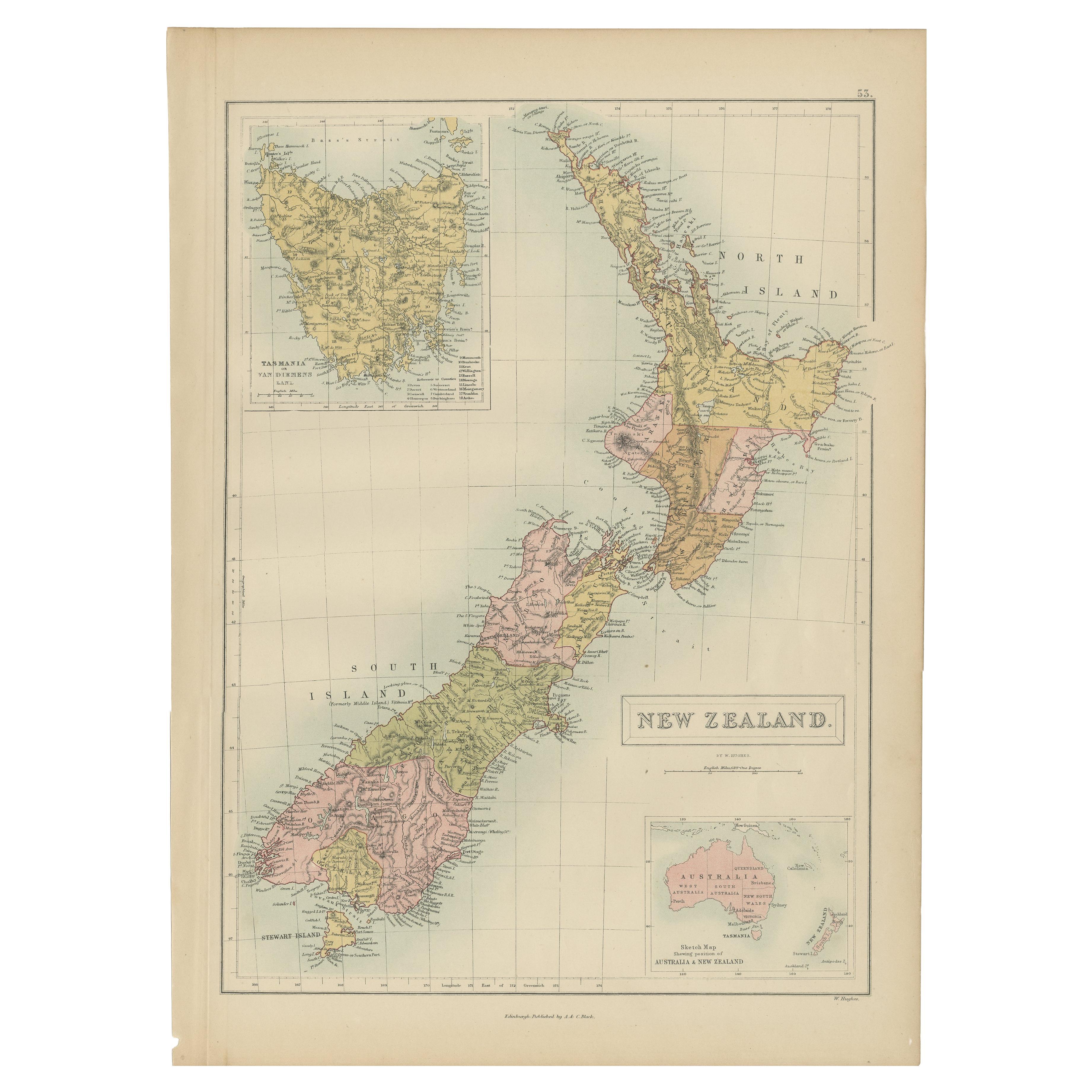
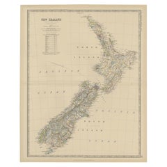
View AllAntique Map of New Zealand by A & C. Black, 1870
Located in Langweer, NL
Antique map titled 'New Zealand'. Original antique map of New Zealand with inset Maps of Australia, New Zealand and Tasmania. This map origi...
Category
Antique Late 19th Century Maps
Materials
Paper

$167 Sale Price
20% Off
Antique Map of New Zealand by Arrowsmith '1844'
Located in Langweer, NL
Antique map titled 'Map of the colony of New Zealand from official documents'. A scarce map of New Zealand. First issued in the 1830s, this state sh...
Category
Antique Mid-19th Century Maps
Materials
Paper

$1,573 Sale Price
24% Off
Antique Map of New Zealand, 1903, Featuring the North and South Islands and Alps
Located in Langweer, NL
Title: Antique Map of New Zealand, 1903, Featuring the North and South Islands and the Southern Alps
Description:
This antique map, titled "New Zealand," was engraved and published ...
Category
Early 20th Century Maps
Materials
Paper
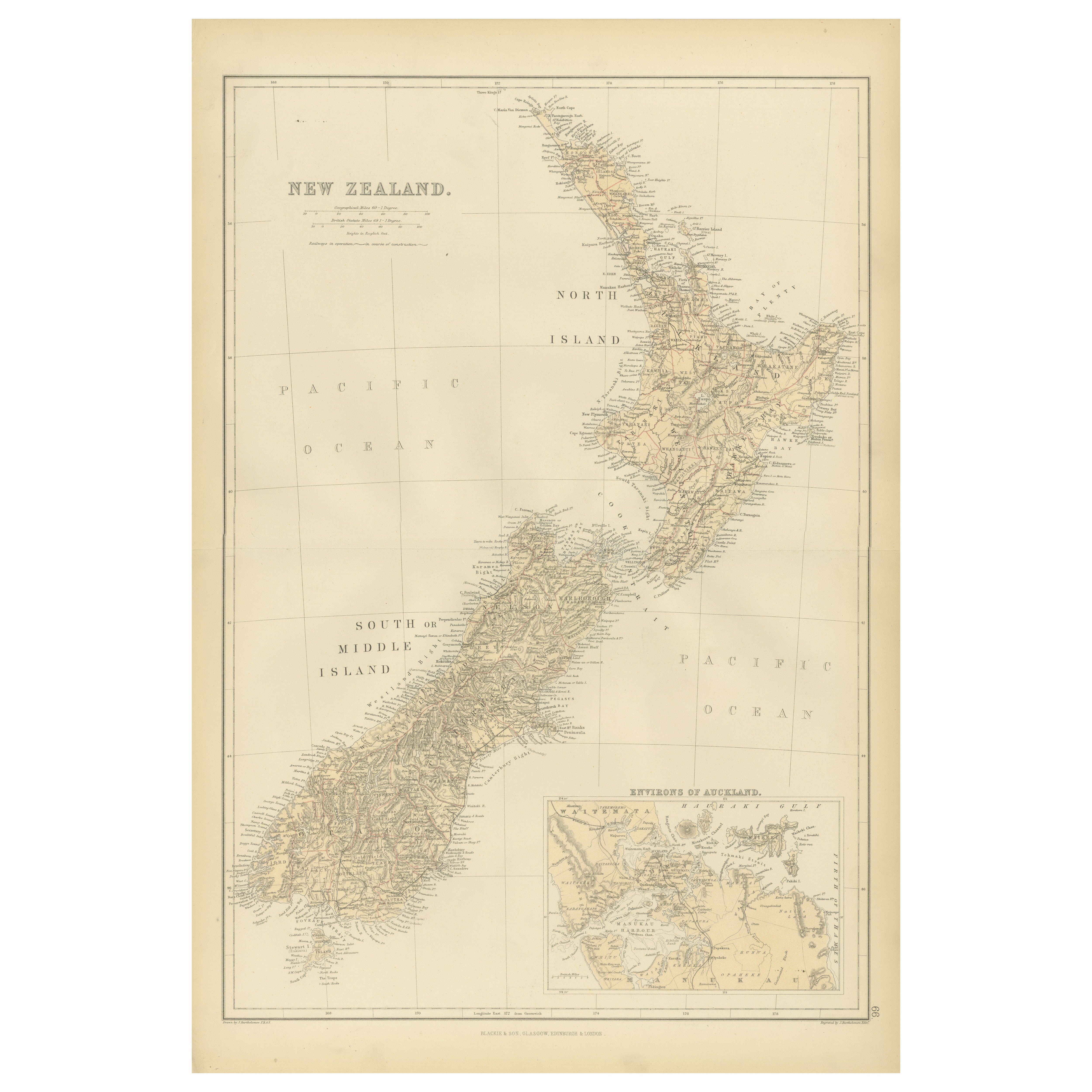
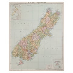
1882 Original Antique Map of New Zealand with Inset of Auckland's Environs
Located in Langweer, NL
This 1882 map of New Zealand, published by Blackie and Son as part of the 'Comprehensive Atlas and Geography of the World,' provides a detailed representation of the North Island and...
Category
Antique 1880s Maps
Materials
Paper
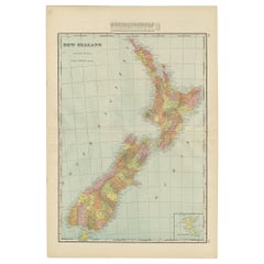
Antique Map of New Zealand by Scottish Geographer Johnston, 1882
Located in Langweer, NL
Antique map titled 'New Zealand'.
Old map of New Zealand. This map originates from 'The Royal Atlas of Modern Geography, Exhibiting, in a Series of Entirely Original and Authentic ...
Category
Antique 19th Century Maps
Materials
Paper
$306 Sale Price
20% Off
Antique Map of New Zealand by G.F. Cram, 'circa 1906'
Located in Langweer, NL
Antique map titled 'New Zealand'. Large map of New Zealand with a small legend of the Chatham Islands. On the verso, a map of the North Polar regions and a map of Tasmania can be fou...
Category
20th Century Maps
Materials
Paper
$335 Sale Price
20% Off
You May Also Like
Large Original Vintage Map of New Zealand, South Island, circa 1920
Located in St Annes, Lancashire
Great map of South Island, New Zealand
Original color.
Good condition / repair to a minor tear on right edge
Published by Alexander Gross
Unframed.
Category
Vintage 1920s English Edwardian Maps
Materials
Paper
Large Original Vintage Map of New Zealand, North Island, circa 1920
Located in St Annes, Lancashire
Great map of North Island, New Zealand
Original color.
Good condition / minor foxing to right edge
Published by Alexander Gross
Unframed.
Category
Vintage 1920s English Edwardian Maps
Materials
Paper

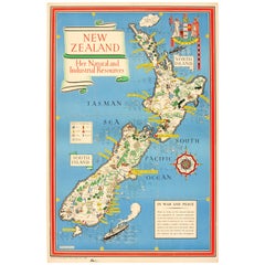
Original WWII Map of New Zealand - Natural & Industrial Resources in War & Peace
By "Leslie MacDonald ""Max"" Gill"
Located in London, GB
Original vintage World War Two pictorial map for New Zealand her natural and Industrial resources featuring a great illustration by the notable graphic designer, cartographer and artist MacDonald Gill (Leslie MacDonald Gill aka Max Gill...
Category
Vintage 1940s British Posters
Materials
Paper
Large Original Antique Map of Australia by Sidney Hall, 1847
Located in St Annes, Lancashire
Great map of Australia
Drawn and engraved by Sidney Hall
Steel engraving
Original colour outline
Published by A & C Black. 1847
Unframed
Free shipping.
Category
Antique 1840s Scottish Maps
Materials
Paper

Original Antique Map of Australia by Dower, circa 1835
Located in St Annes, Lancashire
Nice map of Australia
Drawn and engraved by J.Dower
Published by Orr & Smith. C.1835
Unframed.
Free shipping
Category
Antique 1830s English Maps
Materials
Paper

Original Antique Map of Tasmania, Australia by Dower, circa 1835
Located in St Annes, Lancashire
Nice map of Tasmania
Drawn and engraved by J.Dower
Published by Orr & Smith. C.1835
Unframed.
Free shipping
Category
Antique 1830s English Maps
Materials
Paper

More Ways To Browse
British Empire
Used Tattoo Furniture
Used Furniture Plymouth
New Zealand Maori
Antique Tattoo
Antique Maori
Antique Oushak Carpets
Blue Coffee Tables
1945 Chair Juhl
Antique Three Leg Table
Folke Arstrom
Silver Over Copper
Vintage Barware Glasses
Antique Etched Glass
Antique French Shell
Coffee Table Black Italian Modern
Christofle America
Iranian Silk Rug Carpet