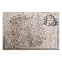
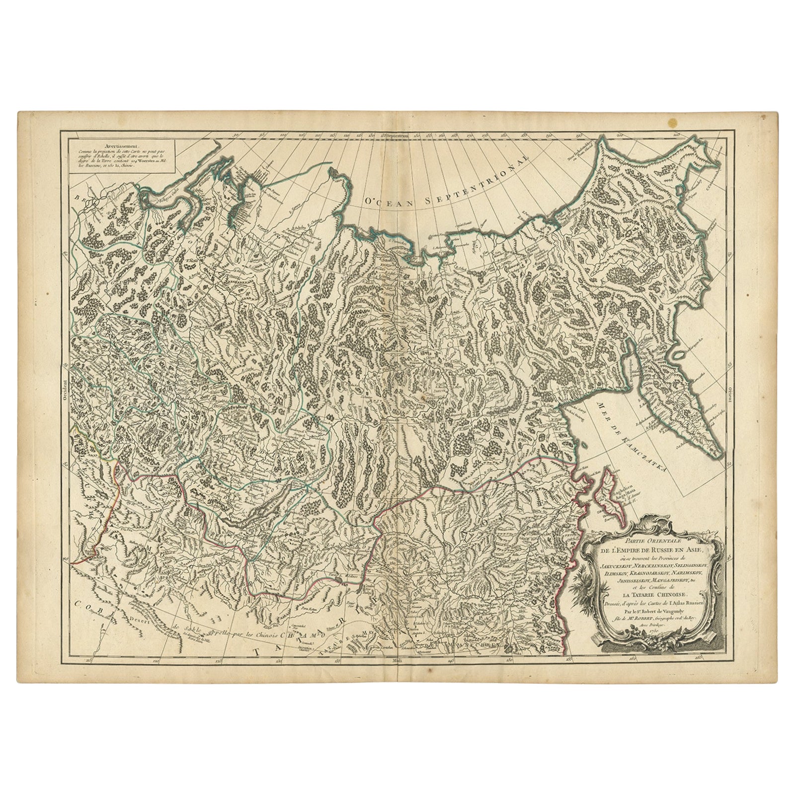
Original Antique Map of Asia. C.1780
View Similar Items


Want more images or videos?
Request additional images or videos from the seller
1 of 5
Original Antique Map of Asia. C.1780
Price:$45
About the Item
- Dimensions:Height: 8.75 in (22.23 cm)Width: 12.25 in (31.12 cm)Depth: 0.07 in (1.78 mm)
- Style:Georgian (Of the Period)
- Materials and Techniques:Paper,Other
- Place of Origin:
- Period:
- Date of Manufacture:1780
- Condition:Wear consistent with age and use.
- Seller Location:St Annes, GB
- Reference Number:1stDibs: LU1836335044922
About the Seller
4.9
Platinum Seller
Premium sellers with a 4.7+ rating and 24-hour response times
1stDibs seller since 2016
3,120 sales on 1stDibs
Typical response time: 1 hour
Associations
International Confederation of Art and Antique Dealers' Associations
Authenticity Guarantee
In the unlikely event there’s an issue with an item’s authenticity, contact us within 1 year for a full refund. DetailsMoney-Back Guarantee
If your item is not as described, is damaged in transit, or does not arrive, contact us within 7 days for a full refund. Details24-Hour Cancellation
You have a 24-hour grace period in which to reconsider your purchase, with no questions asked.Vetted Professional Sellers
Our world-class sellers must adhere to strict standards for service and quality, maintaining the integrity of our listings.Price-Match Guarantee
If you find that a seller listed the same item for a lower price elsewhere, we’ll match it.Trusted Global Delivery
Our best-in-class carrier network provides specialized shipping options worldwide, including custom delivery.More From This Seller
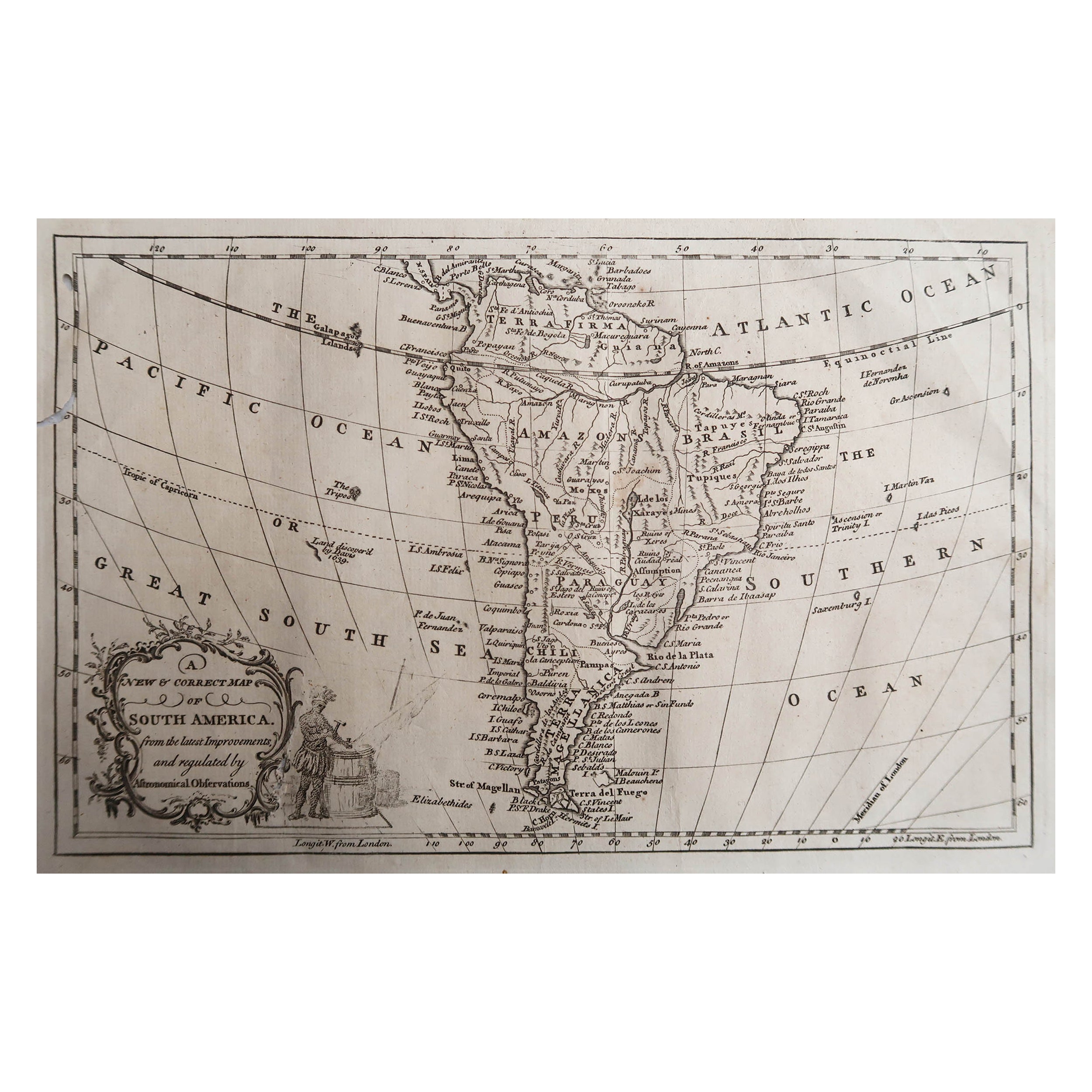
View AllOriginal Antique Map of South America. C.1780
Located in St Annes, Lancashire
Great map of South America
Copper-plate engraving
Published C.1780
Two small worm holes to left side of map
Unframed.
Category
Antique Early 1800s English Georgian Maps
Materials
Paper

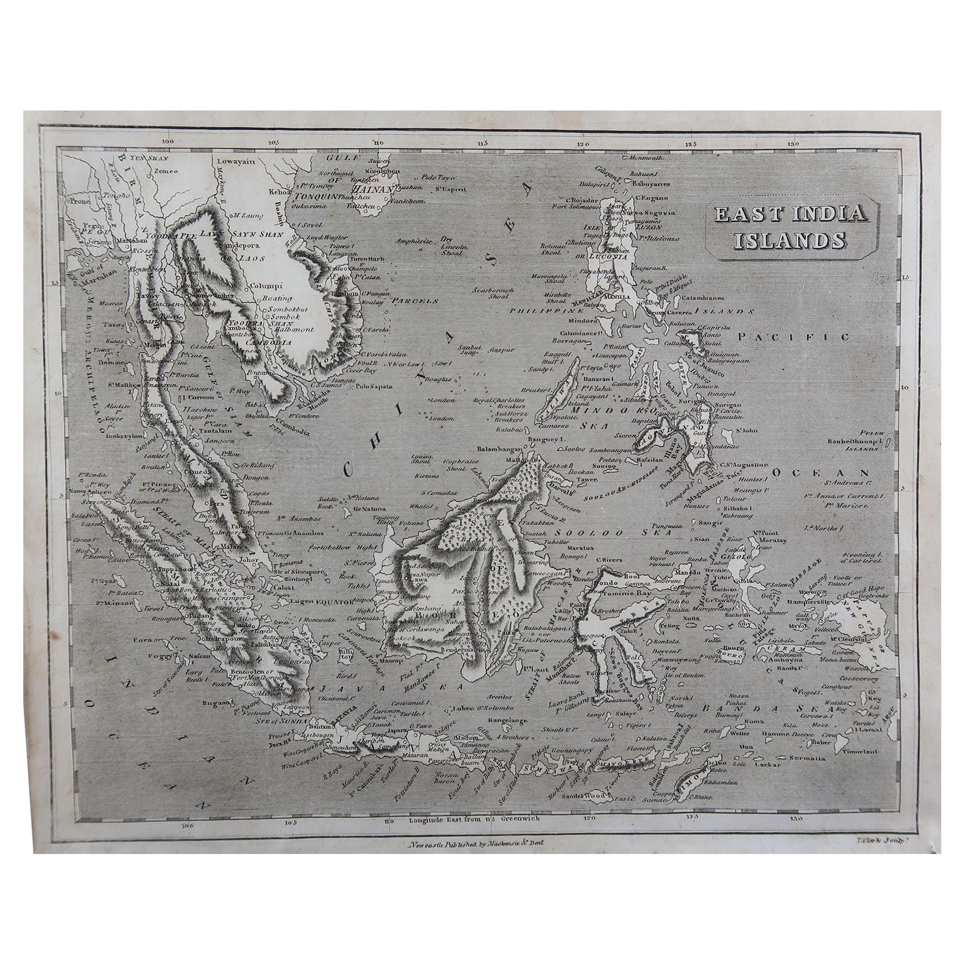
Original Antique Map of South East Asia by Thomas Clerk, 1817
Located in St Annes, Lancashire
Great map of South East Asia
Copper-plate engraving
Drawn and engraved by Thomas Clerk, Edinburgh.
Published by Mackenzie And Dent, 1817
Unframed.
Category
Antique 1810s English Maps
Materials
Paper

Original Antique Map of China, Arrowsmith, 1820
Located in St Annes, Lancashire
Great map of China
Drawn under the direction of Arrowsmith
Copper-plate engraving
Published by Longman, Hurst, Rees, Orme and Brown, 1820
Unfr...
Category
Antique 1820s English Maps
Materials
Paper

Original Antique Map of Ireland- Kerry. C.1840
Located in St Annes, Lancashire
Great map of Kerry
Steel engraving
Drawn under the direction of A.Adlard
Published by How and Parsons, C.1840
Unframed.
Category
Antique 1840s English Maps
Materials
Paper

Original Antique Map of Europe, Arrowsmith, 1820
Located in St Annes, Lancashire
Great map of Europe
Drawn under the direction of Arrowsmith.
Copper-plate engraving.
Published by Longman, Hurst, Rees, Orme and Brown, 1820
...
Category
Antique 1820s English Maps
Materials
Paper

Original Antique Map of Hungary, Arrowsmith, 1820
Located in St Annes, Lancashire
Great map of Hungary
Drawn under the direction of Arrowsmith.
Copper-plate engraving.
Published by Longman, Hurst, Rees, Orme and Brown, 1820
Unframed.
Category
Antique 1820s English Maps
Materials
Paper

You May Also Like
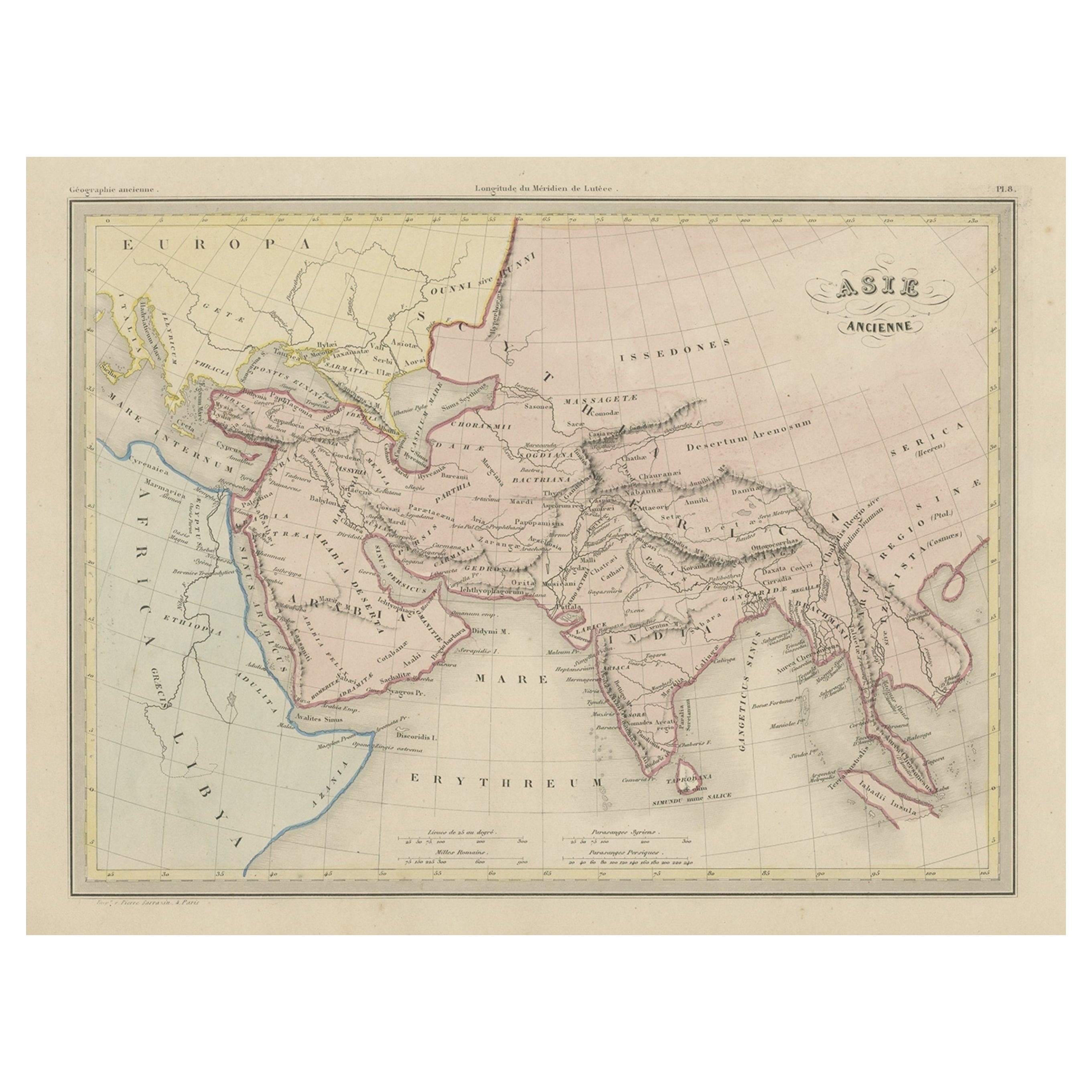
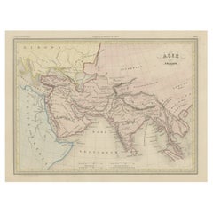
Original Antique Map of Ancient Asia, 1847
Located in Langweer, NL
Description: Antique map Asia titled 'Asie Ancienne'.
This is an original antique map of Ancient Asia and originates from 'Atlas de la Geographie ...
Category
Antique 1840s Maps
Materials
Paper
$170 Sale Price
20% Off
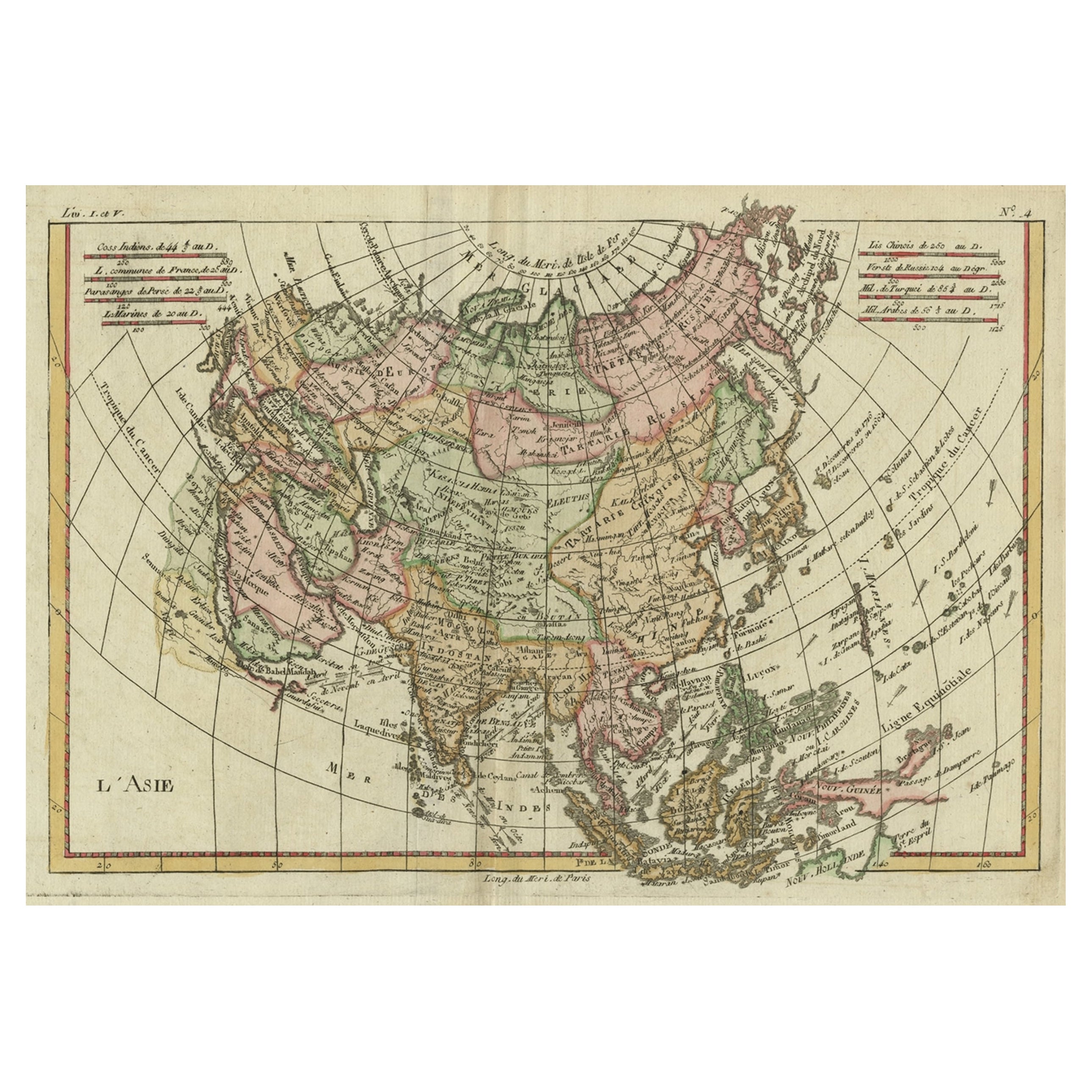
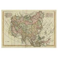
Antique Map of Asia, Showing Tradewinds, Silke Route Cities Etc, c.1780
Located in Langweer, NL
Antique map titled 'L'Asie.' Map of Asia. Offers considerable detail considering the size, showing the tradewinds in the Pacific and Indian Oceans as well as numerous Silk Route citi...
Category
Antique 18th Century Maps
Materials
Paper
$425 Sale Price
20% Off
Antique Map of Sumatra, Indonesia 'c.1780'
Located in Langweer, NL
Antique map titled 'Neue Karte von der Insel Sumatra'. Extremely rare map of Sumatra, Indonesia. Published circa 1780.
Category
Antique Late 18th Century Maps
Materials
Paper

$2,480 Sale Price
40% Off
Original Antique Map of Southern Asia, Published in 1833
Located in Langweer, NL
Antique map titled 'Carte de l'Inde'. Detailed map extending from India in the west to Vietnam and the Malay Peninsula in the east. This map originates from 'Atlas universel de geogr...
Category
Antique Mid-19th Century Maps
Materials
Paper

$708 Sale Price
20% Off
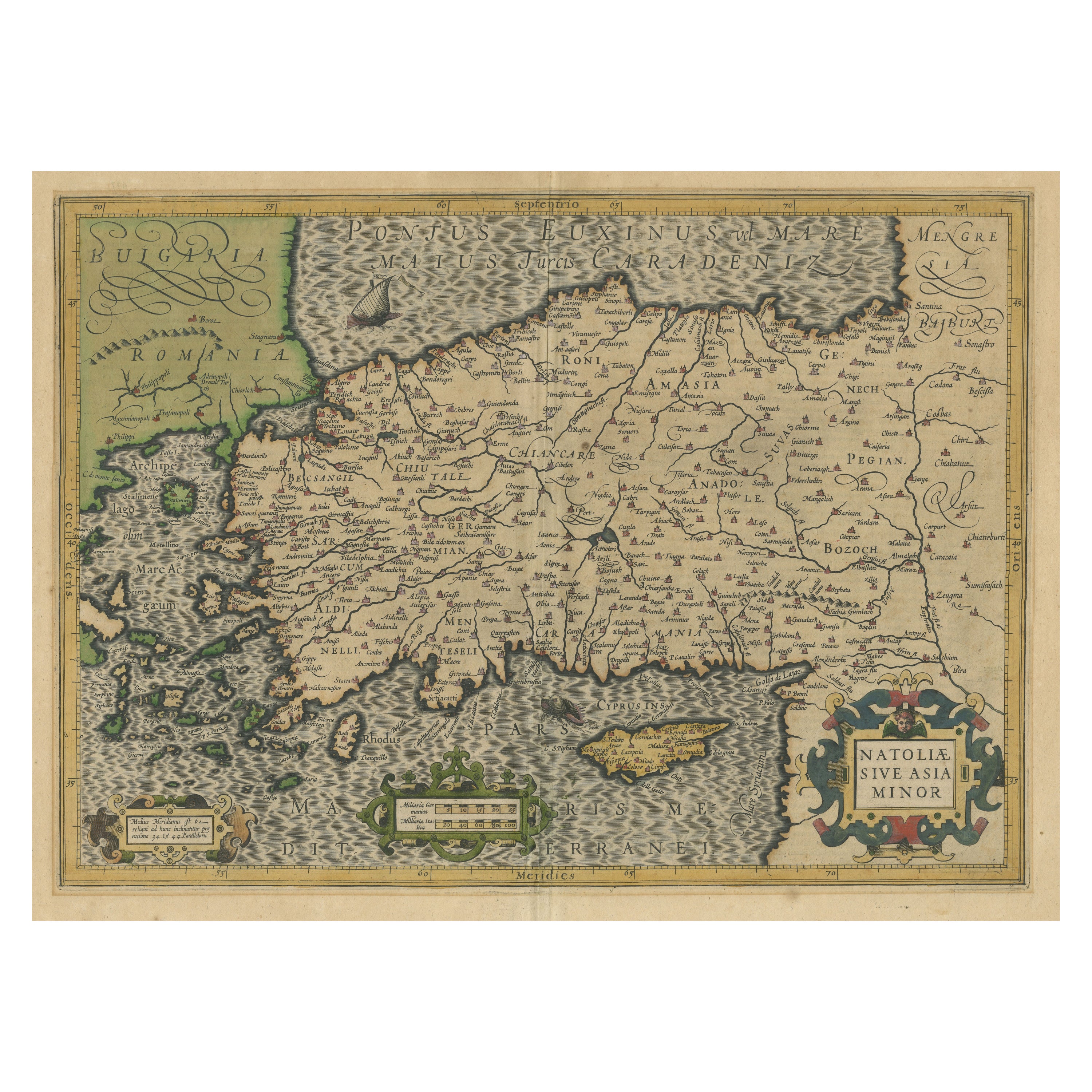
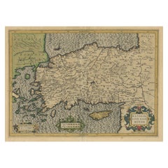
Original Antique Map of Turkey, Asia Minor and Cyprus
By Gerard Mercator
Located in Langweer, NL
Antique map titled 'Natoliae sive Asia Minor'. Original old map of Turkey, Asia Minor and Cyprus. Includes a decorative cartouches, sailing ship, sea mon...
Category
Antique Early 17th Century Maps
Materials
Paper
$793 Sale Price
20% Off
Antique Map of Europe by R. Bonne, 1780
Located in Langweer, NL
A fine example of Rigobert Bonne and Guilleme Raynal’s 1780 map of Europe. Drawn by R. Bonne for G. Raynal’s Atlas de Toutes les Parties Connues du Globe Terrestre, Dressé pour l'His...
Category
Antique Late 18th Century French Maps
Materials
Paper

$148 Sale Price
30% Off
Recently Viewed
View AllMore Ways To Browse
1681 Moses Pitt
Antique Maps Washington Dc
Ithaca Antique Map
J Thayer
Rust Red Rug
Vintage Studio Chair
1890s French Posters
Casa Finland
Mobelfabrik Danish
Playful Chair
Giacometti Chairs
Antique Rug Wool Navy Blue Red
Bauhaus Flower Stand
French Table With Drawers
North Carolina Furniture
Antique Silver Platter
Boat Blueprint
Cream Plates