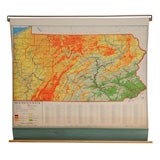
Vintage School Map of Pennsylvania
View Similar Items


1 of 8
Vintage School Map of Pennsylvania
$225List Price
About the Item
- Materials and Techniques:
- Period:
- Date of Manufacture:Circa 1950's
- Condition:
- Seller Location:Alexandria, VA
- Reference Number:Seller: RBM6991stDibs: 090609871510
Authenticity Guarantee
In the unlikely event there’s an issue with an item’s authenticity, contact us within 1 year for a full refund. DetailsMoney-Back Guarantee
If your item is not as described, is damaged in transit, or does not arrive, contact us within 7 days for a full refund. Details24-Hour Cancellation
You have a 24-hour grace period in which to reconsider your purchase, with no questions asked.Vetted Professional Sellers
Our world-class sellers must adhere to strict standards for service and quality, maintaining the integrity of our listings.Price-Match Guarantee
If you find that a seller listed the same item for a lower price elsewhere, we’ll match it.Trusted Global Delivery
Our best-in-class carrier network provides specialized shipping options worldwide, including custom delivery.You May Also Like
Collection of 5 Vintage School-Charts of Indonesia, Incl Bali Ritual Cremation
Located in Langweer, NL
Collection of Old School Posters on cardboard of the early 20th century. Most of the images are still intact with bright colours, but the outer marg...
Category
Early 20th Century Dutch Historical Memorabilia
Materials
Paper
$720 Sale Price / set
20% Off
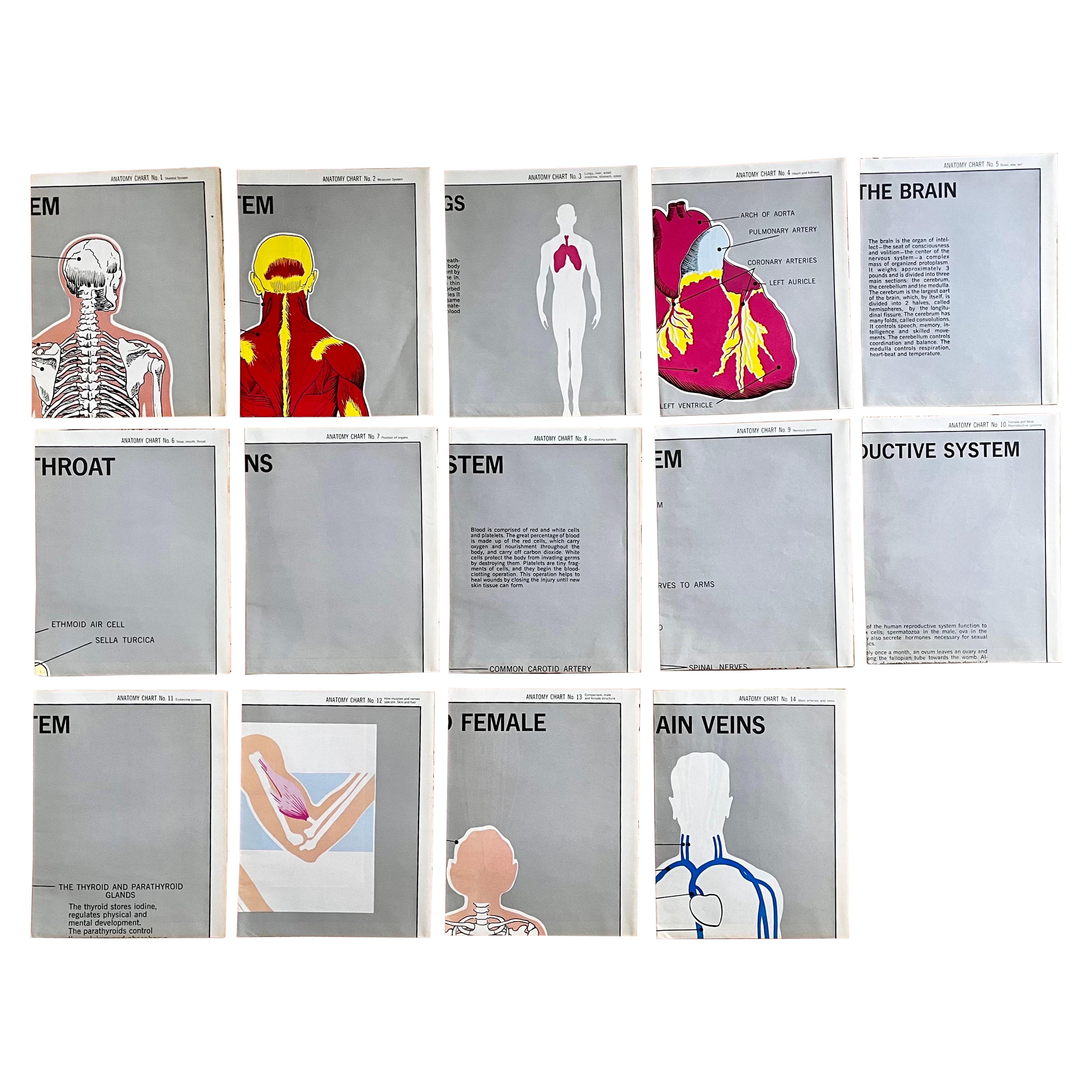
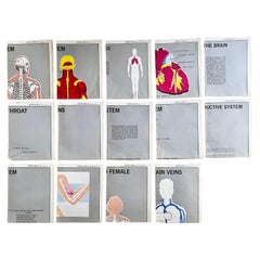
Set of (14) Vintage Anatomy Charts by American Map Co. - sold individually
Located in Philadelphia, PA
Set of (14) Vintage Anatomy Charts
American Map Co. - Circa 1950.
14 Total Charts - Sold Individually -( 14 available )
( discounted to buy as a set )
29" x 37" unfolded
9.5" x 12...
Category
Mid-20th Century American Mid-Century Modern Posters
Materials
Paper
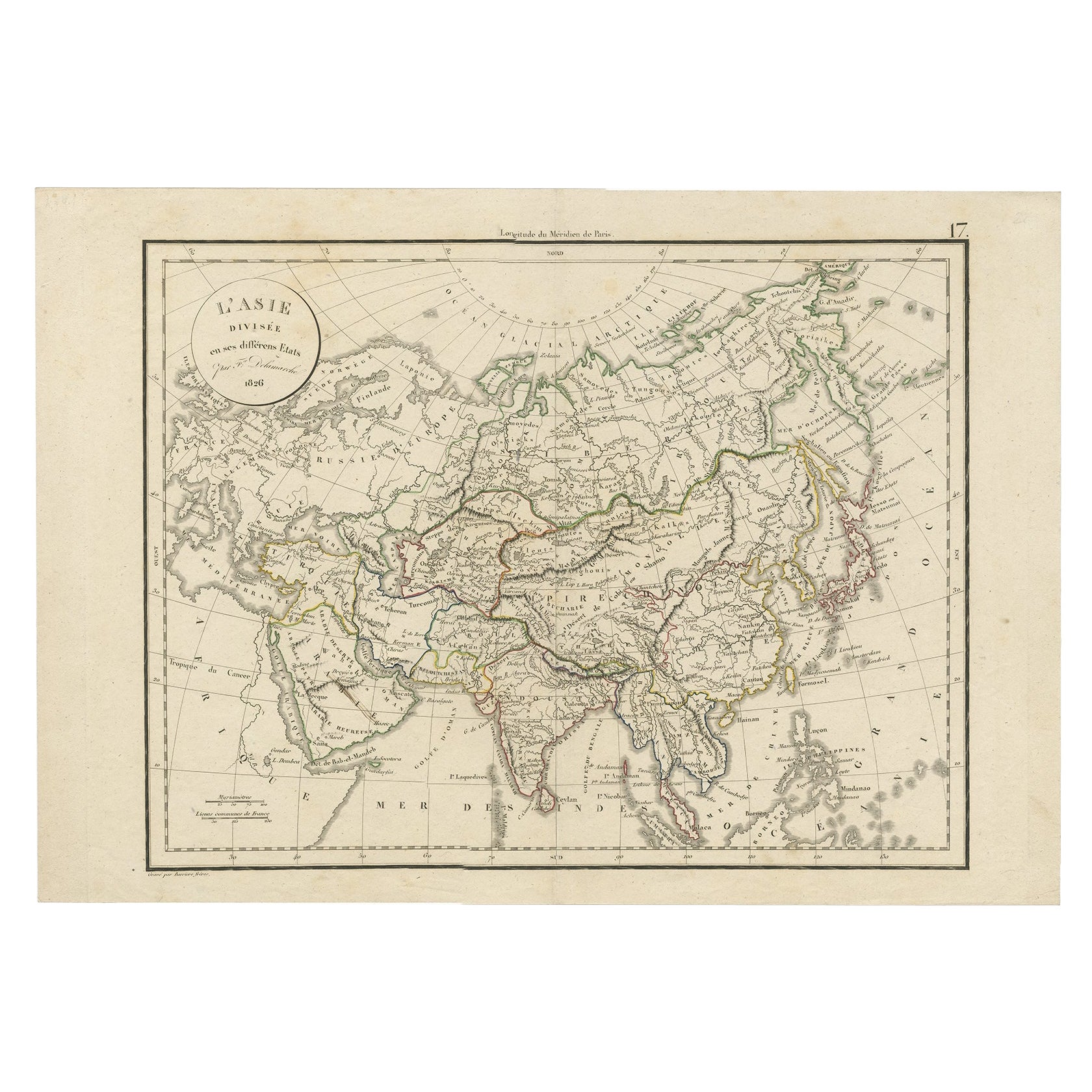
Antique Map of Asia by Delamarche, 1826
Located in Langweer, NL
Vaugondy's map plates and copyrights and later addes many plates from other sources as well. Charles Delamarche eventually passed control of the firm to his son Felix Delamarche (18t...
Category
Antique 19th Century Maps
Materials
Paper
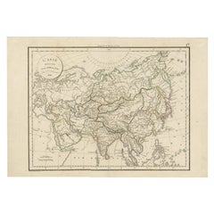
$229 Sale Price
20% Off
Vintage School Chart of Coal Mining Operation Plus Cross Section on Verso, 1931
Located in Langweer, NL
Title: De Mijn Maurits bij Sittard (The Maurits Mine near Sittard). On the verso 'Doorsnede van een kolen mijn in Limburg'. Translated: Cross Section of a Coalmine in Limburg (a province in the South of The Netherlands).
Sittard is a city in the province of Limburg, in the south of Holland. In 1947 this coal mine was connected to another mine: the Emma Mine, by a 13 km straight tunnel. In the second half of the 1940s and in the 1950s the mine was expanded, and mining reached a depth of 810 m. A third shaft was completed in 1958. At the time of completion of the third shaft, the Maurits mine was the largest two-shafts mine in the world. It was the largest coal mine in the Netherlands. When in the beginning of the 1960s the economic tide for coal mining...
Category
Early 20th Century European Posters
Materials
Other
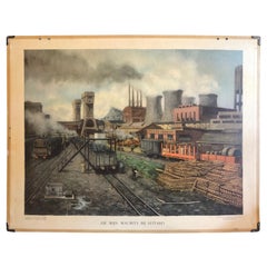
$716 Sale Price
20% Off
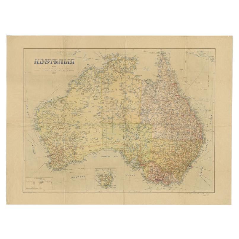
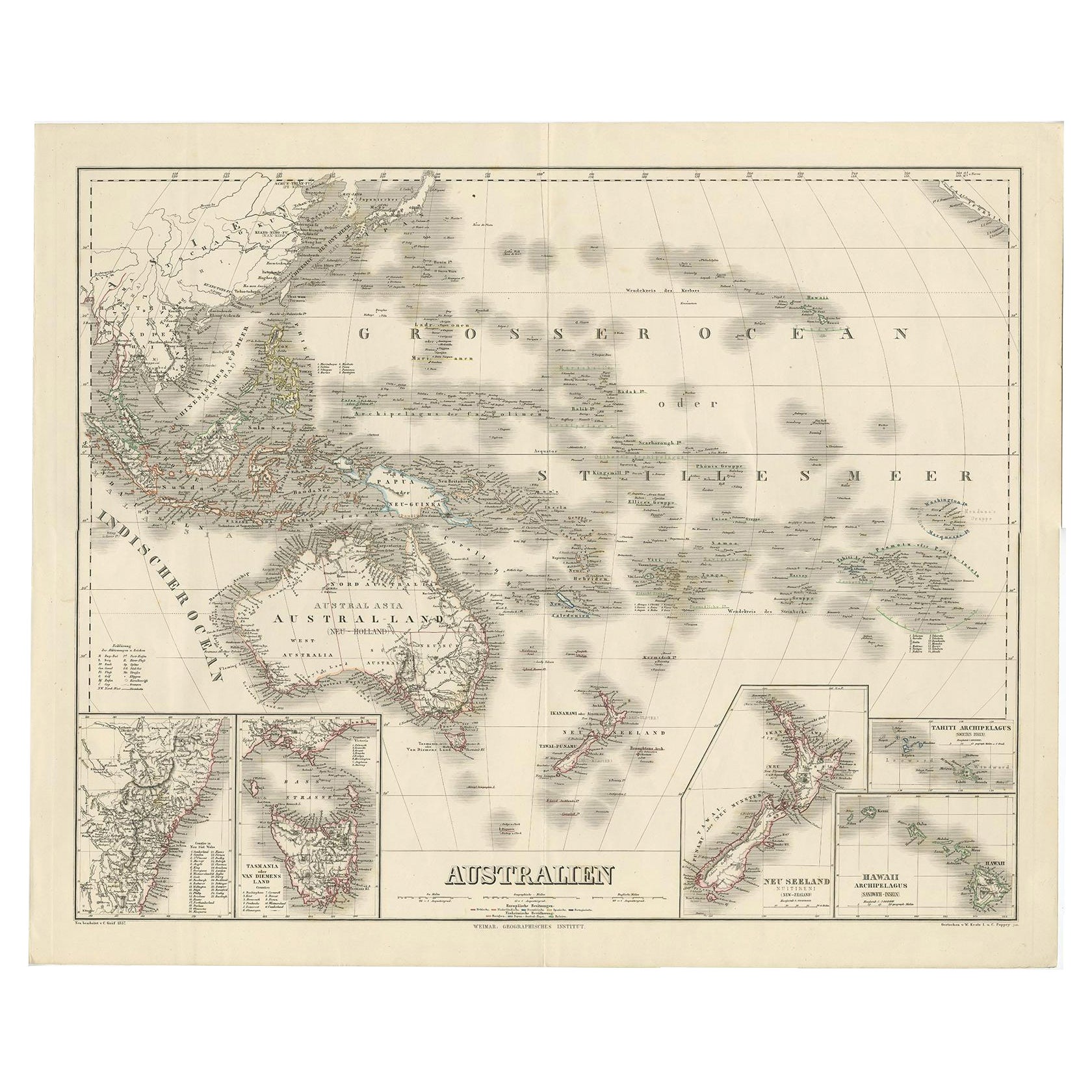
Large Detailed Map of Australia Wint Inset of Tasmania, 1937
Located in Langweer, NL
Antique map titled 'Australia'. Large folding map of Australia. With inset map of Tasmania. Printed by L.F. Johnston, Canberra.
Artists and Engravers: Compiled and drawn by Propert...
Category
20th Century Maps
Materials
Paper

$334 Sale Price
20% Off
Large Antique Map of Asia including All of Southeast Asia, c.1792
Located in Langweer, NL
Antique map titled 'L' Asie Divisee en ses Empires, Royaumes, et Etats'. Attractive, large map of Asia including all of Southeast Asia. The cartography is archaic for the period with...
Category
Antique 18th Century Maps
Materials
Paper

$1,432 Sale Price
20% Off
Free Shipping