Items Similar to Large University Chart “Political Map of North America” by Bacon


Want more images or videos?
Request additional images or videos from the seller
1 of 7
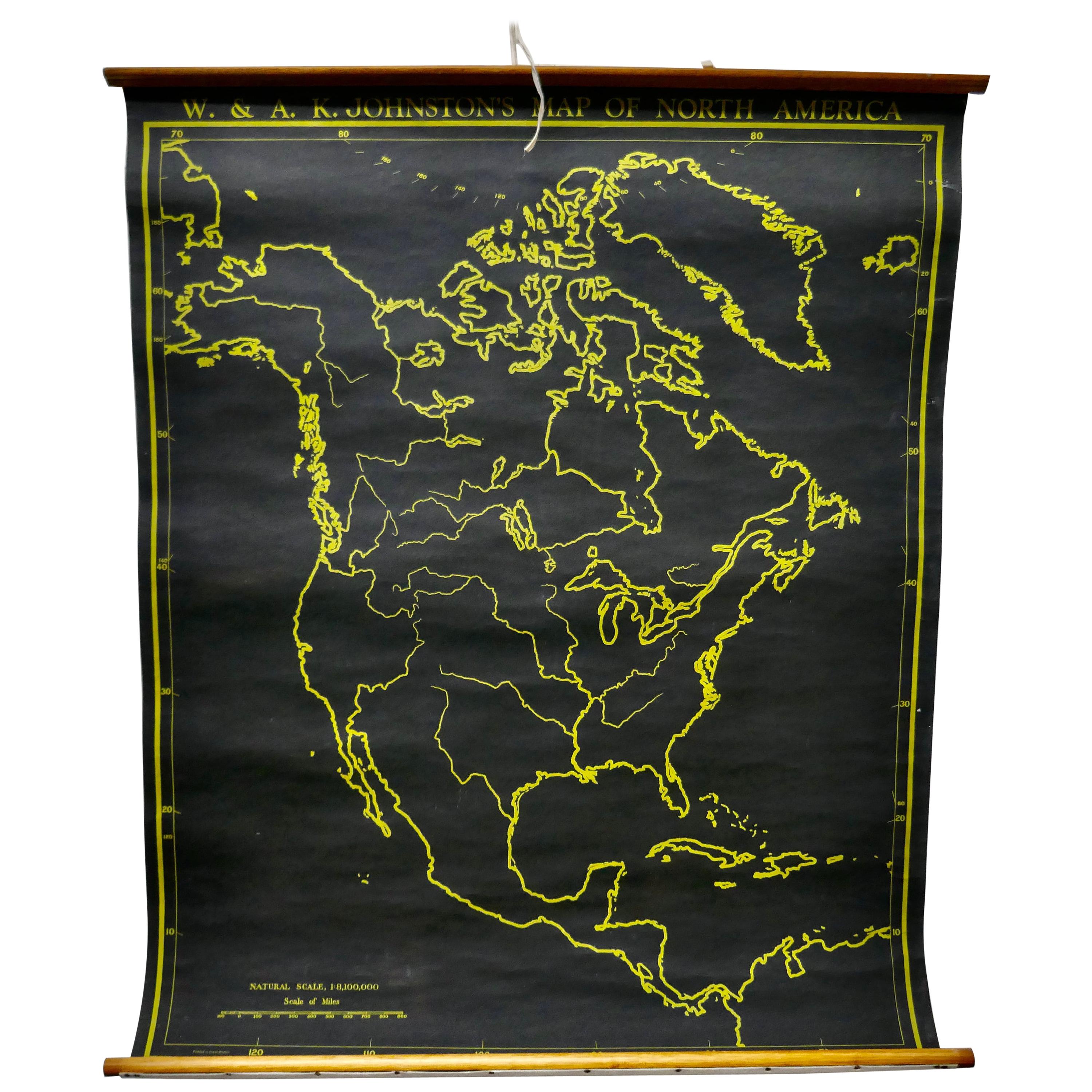
Large University Chart “Political Map of North America” by Bacon
About the Item
Large University Chart “Political Map of North America” by Bacon
W&A K Johnston’s Charts of Physical Maps By G W Bacon,
This is colourful Physical map of North America, it is large lithograph set on Linen mounted on wooden rods, the chart is in very good bright condition, it is 35” high and 31” wide
GB79
- Dimensions:Height: 35 in (88.9 cm)Diameter: 5 in (12.7 cm)
- Style:American Empire (In the Style Of)
- Materials and Techniques:
- Period:
- Date of Manufacture:1920
- Condition:
- Seller Location:Chillerton, GB
- Reference Number:
About the Seller
4.9
Platinum Seller
These expertly vetted sellers are 1stDibs' most experienced sellers and are rated highest by our customers.
Established in 1980
1stDibs seller since 2017
694 sales on 1stDibs
Typical response time: 2 hours
- ShippingRetrieving quote...Ships From: Chillerton, United Kingdom
- Return PolicyA return for this item may be initiated within 7 days of delivery.
More From This SellerView All
- Large University Chart “Political Map of North America” by BaconLocated in Chillerton, Isle of WightLarge University chart “Political Map of North America” by Bacon W&A K Johnston’s Charts of Political Maps by G W Bacon, This is colorful Physical ...Category
Early 20th Century American Empire Posters
MaterialsLinen
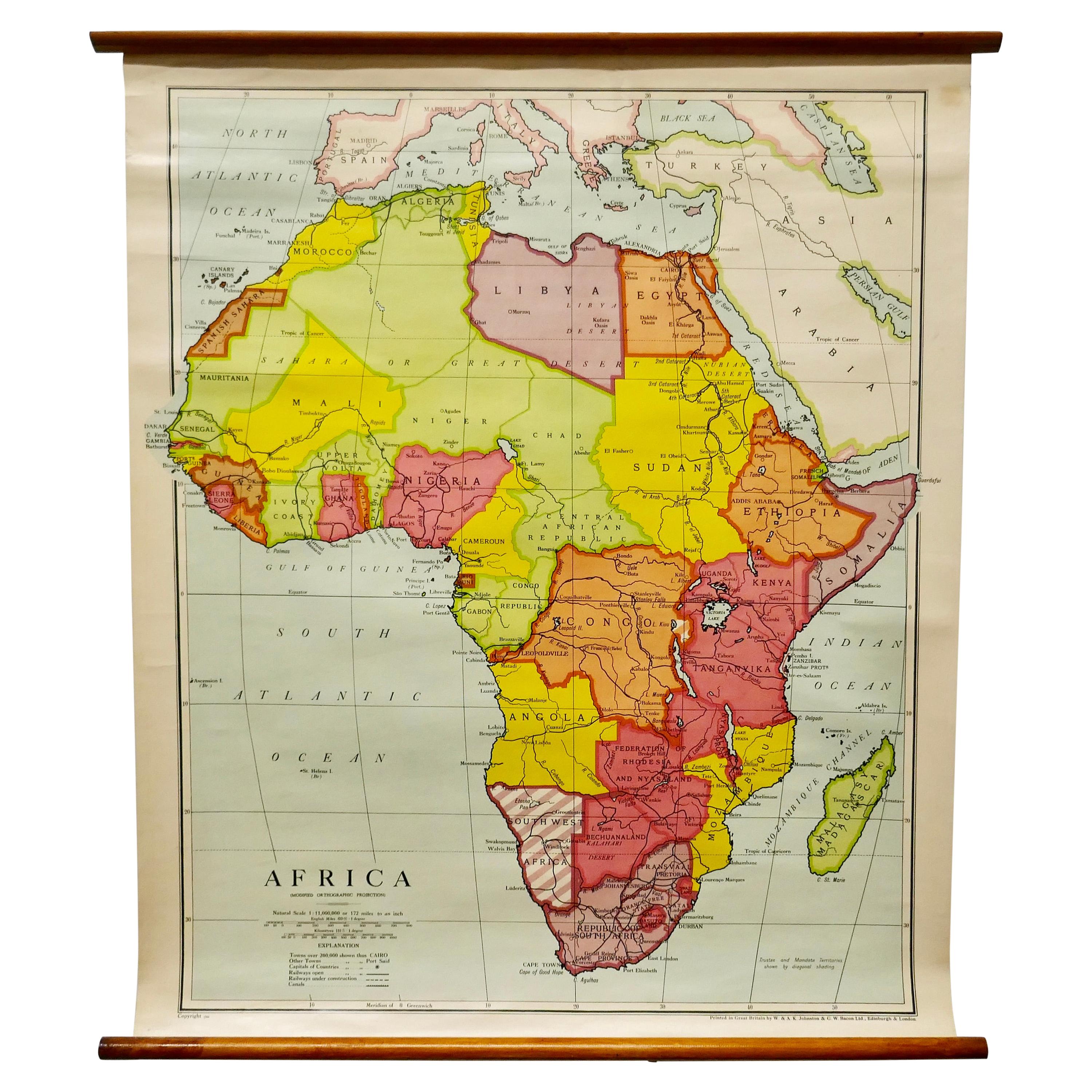
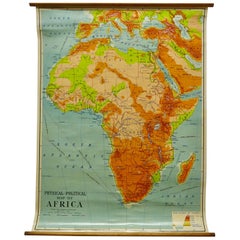
- Large University Chart “Physical Map of Africa” by BaconLocated in Chillerton, Isle of WightLarge university chart “Physical Map of Africa” by Bacon W&A K Johnston’s Charts of Physical Maps By G W Bacon, This is colorful Physical map of North America, it is large lithograph set...Category
Early 20th Century Folk Art Posters
MaterialsLinen
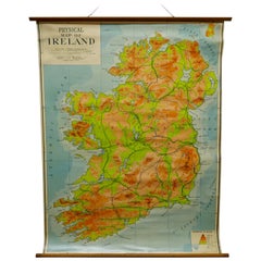
- Large University Chart “Physical Map of Ireland” by BaconLocated in Chillerton, Isle of WightLarge University Chart “Physical Map of Ireland” by Bacon W&A K Johnston’s Charts of Physical Maps By G W Bacon, This is colorful Physical map of Ireland, it is large lithograph set...Category
Early 20th Century International Style Posters
MaterialsLinen
- University Chart “Black Map of North AmericaLocated in Chillerton, Isle of WightUniversity Chart “Black Map of North America W&A K Johnston’s Charts of Physical Maps By G W Bacon, This is a Black Physical map of North A...Category
Early 20th Century Industrial Maps
MaterialsLinen
- Large University Chart “Africa Physical ” by BaconLocated in Chillerton, Isle of WightLarge University chart “Africa Physical ” by Bacon W&A K Johnston’s charts of physical maps by G W Bacon, This is a Physical map of Africa, it is lithograph set on Linen mounte...Category
Early 20th Century Beaux Arts Maps
MaterialsLinen
- W&A K Johnston’s Charts of Physical Maps by G W BaconLocated in Chillerton, Isle of WightLarge University chart “Africa Physical Political” by Bacon W&A K Johnston’s charts of physical maps by G W Bacon, This is a Physical Political map...Category
Early 20th Century Rustic Posters
MaterialsLinen


You May Also Like
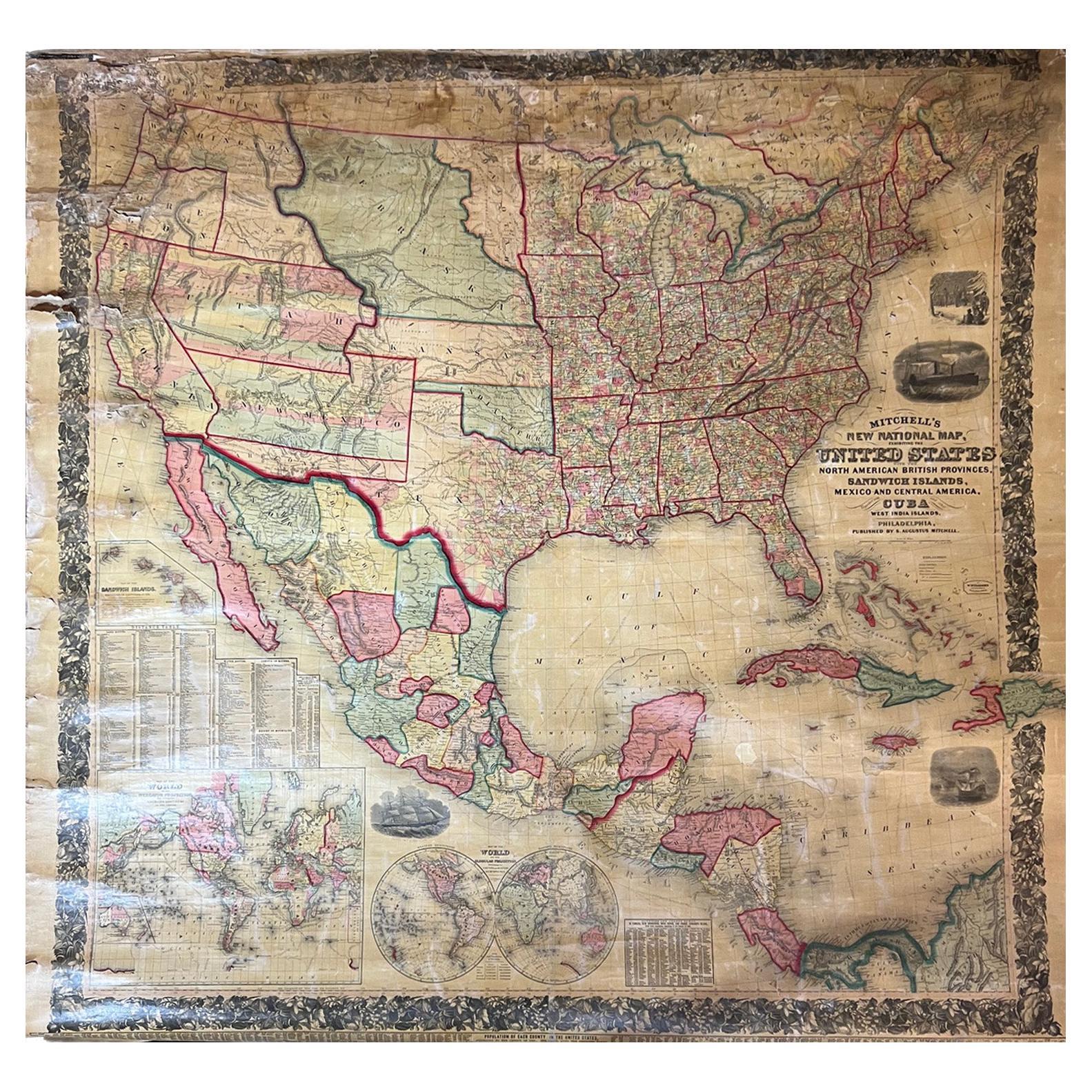
- Large Antique 1859 Map of North AmericaLocated in Sag Harbor, NYThis Map was made by Augustus Mitchell in 1859 It is in amazing condition for being 163 years old. This price is for the rolled up easy to ship version of this piece. I will be Frami...Category
Antique Mid-19th Century American Maps
MaterialsCanvas, Paper

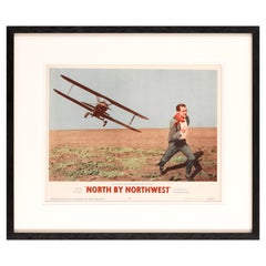
- North by NorthwestLocated in London, GBOriginal US Lobby card from the first release of this Classic Hitchcock film in the US in 1959. The artwork on this lobby card featuring the crop dust...Category
Vintage 1950s American Posters
MaterialsPaper
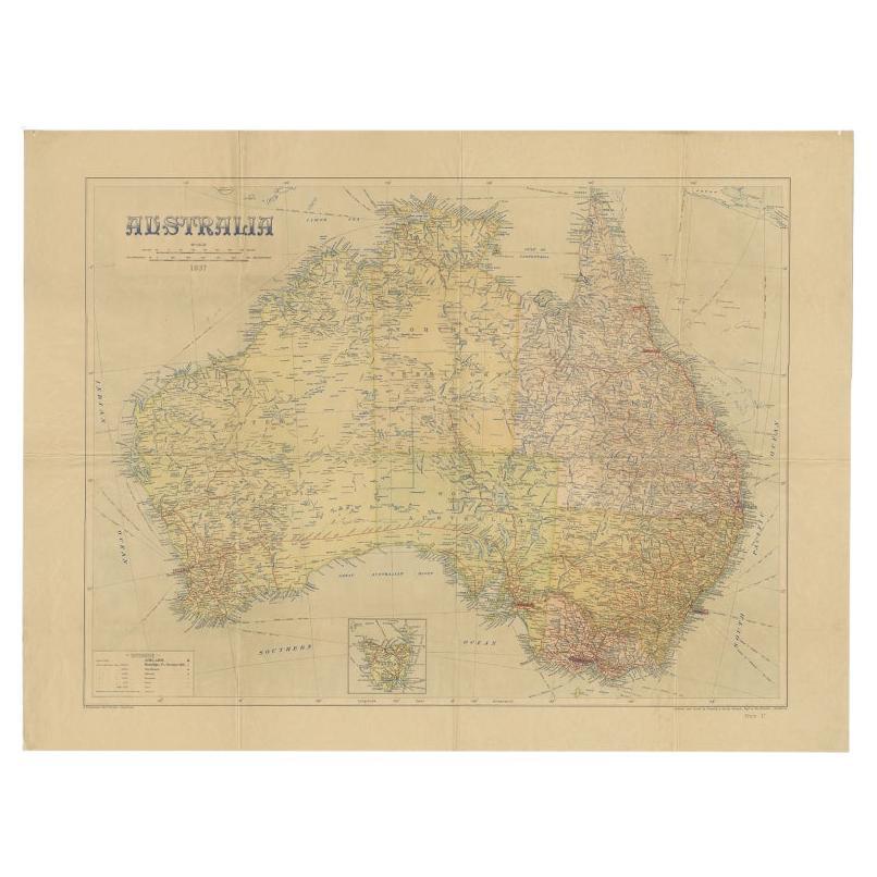
- Large Detailed Map of Australia Wint Inset of Tasmania, 1937Located in Langweer, NLAntique map titled 'Australia'. Large folding map of Australia. With inset map of Tasmania. Printed by L.F. Johnston, Canberra. Artists and Engravers: Compiled and drawn by Propert...Category
20th Century Maps
MaterialsPaper
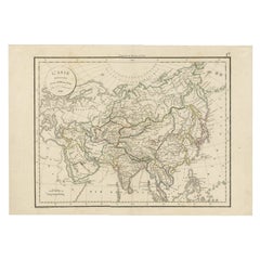
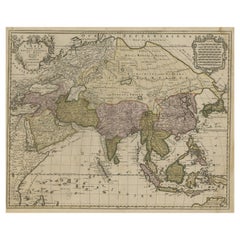
- Antique Map of Asia by Delamarche, 1826Located in Langweer, NLVaugondy's map plates and copyrights and later addes many plates from other sources as well. Charles Delamarche eventually passed control of the firm to his son Felix Delamarche (18t...Category
Antique 19th Century Maps
MaterialsPaper
- Large Antique Map of Asia including All of Southeast Asia, c.1792Located in Langweer, NLAntique map titled 'L' Asie Divisee en ses Empires, Royaumes, et Etats'. Attractive, large map of Asia including all of Southeast Asia. The cartography is archaic for the period with...Category
Antique 18th Century Maps
MaterialsPaper
- Antique Map of North America, 1821Located in Langweer, NLAntique map of America titled 'Carte de l'Amerique septentrionale'. Scarce map of North America, shortly after the Louisiana Purchase and the first ...Category
Antique 19th Century Maps
MaterialsPaper


Recently Viewed
View AllMore Ways To Browse
American 1920 Poster
Early American Empire Furniture
Large Wall Maps
Early North American Maps
Antique Political Posters
Large Antique Wall Map
Antique Map Poster
Russian Soviet Propaganda Posters
Art Deco Wall Tree
Fine Modern Art Posters
Belle Epoque Poster
Car Artwork
Star Wars Vintage
Vintage Adventure Poster
Vintage Country Flags
Roger Moore
Monroe Poster
Audrey Poster