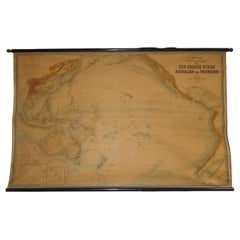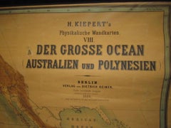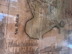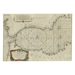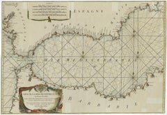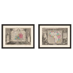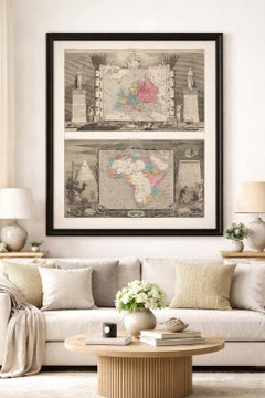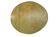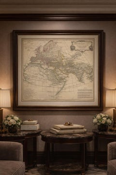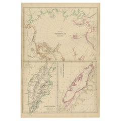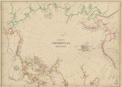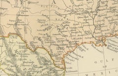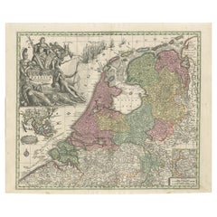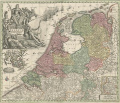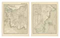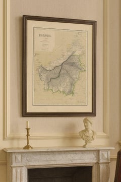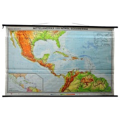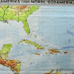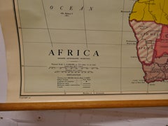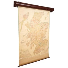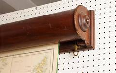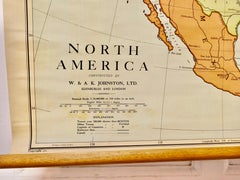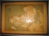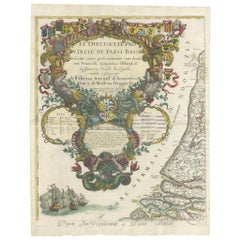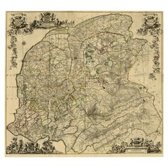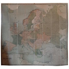
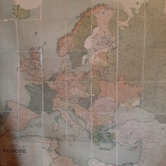
Large Wall Map of Europe by George Philip & Son, circa 1920
$2,072Sale Price|30% Off
Large Wall Map of Europe by George Philip & Son, circa 1920
Located in Langweer, NL
Very large wall map of Europe including the North African coast and Turkey.
Category
Early 20th Century British Maps
Materials
Paper, Linen