Items Similar to Large Decorative Antique Map of the Mediterranean, ca.1770
Want more images or videos?
Request additional images or videos from the seller
1 of 5
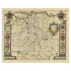
Large Decorative Antique Map of the Mediterranean, ca.1770
About the Item
Antique map titled 'Carte de la Mer Mediterranee en Douze Feuilles'.
First map out of twelve fine engraved double-page and folding maps that join to create a large wall map of the Mediterranean. The detailed charts show depths, ports, fortifications and towns of the entire Mediterranean coast: for Cadiz and the Strait of Gibraltar to Oran and Tunis; Algeria and the Balearic Islands; Languedoc to Corsica and Elba; Tyrrhenian Sea; Minorca, Sardinia and Tunisia; Sicily, Malta and Libya; Adriatic Sea; Libya; Crete, Libya and Egypt; south of Turkey, Cyprus, Palestine and Egypt; south of the Egadi Islands and Crete; and north of the Egadi Islands and the Dardanelles.
Artists and Engravers: Joseph Roux owned a chart-publishing and selling business in Marseilles during the middle and latter part of the eighteenth century. A copy of this atlas was used aboard Nelson's flagship, HMS Victory, in 1802 and 1803 - a fact which shows that the Royal Navy was relying on British and foreign privately printed charts even after Alexander Dalrymple had established the Admiralty Hydrographic Office in 1795.
- Dimensions:Height: 22.25 in (56.5 cm)Width: 32.29 in (82 cm)Depth: 0 in (0.02 mm)
- Materials and Techniques:
- Period:1770-1779
- Date of Manufacture:circa 1770
- Condition:Repaired: Several repairs with tape, visible on verso. Condition: Good. General age-related toning. Several repairs with tape, visible on verso. Please study image carefully.
- Seller Location:Langweer, NL
- Reference Number:
About the Seller
5.0
Platinum Seller
These expertly vetted sellers are 1stDibs' most experienced sellers and are rated highest by our customers.
Established in 2009
1stDibs seller since 2017
1,919 sales on 1stDibs
Typical response time: <1 hour
- ShippingRetrieving quote...Ships From: Langweer, Netherlands
- Return PolicyA return for this item may be initiated within 14 days of delivery.
More From This SellerView All
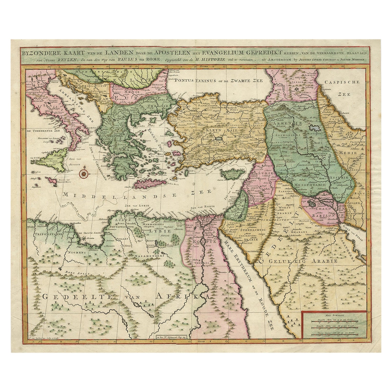
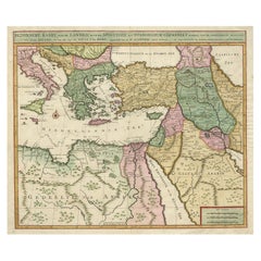
- Highly Decorative Map of The Eastern Mediterranean and The Middle East, ca.1700Located in Langweer, NLAntique map titled 'Byzondere Kaart van de Landen Daar de Apostelen Het Evangelium Gepredikt Hebben (..).' Highly decorative map of the eastern Mediterranean...Category
Antique Early 1700s Maps
MaterialsPaper
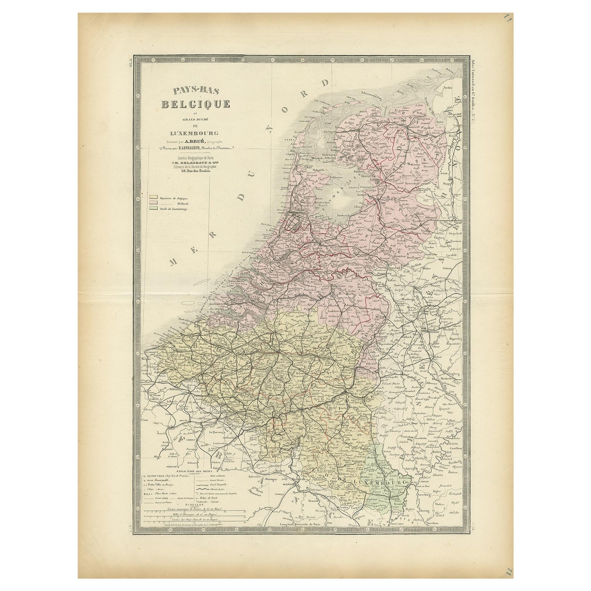
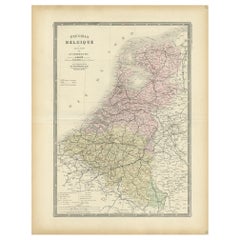
- Decorative Antique Map of the Netherlands and Belgium, ca.1875Located in Langweer, NLAntique map titled 'Pays-Bas Belgique (..)'. Large map of the Netherlands and Belgium. This map originates from 'Atlas de Géographie Moder...Category
Antique Late 19th Century Maps
MaterialsPaper
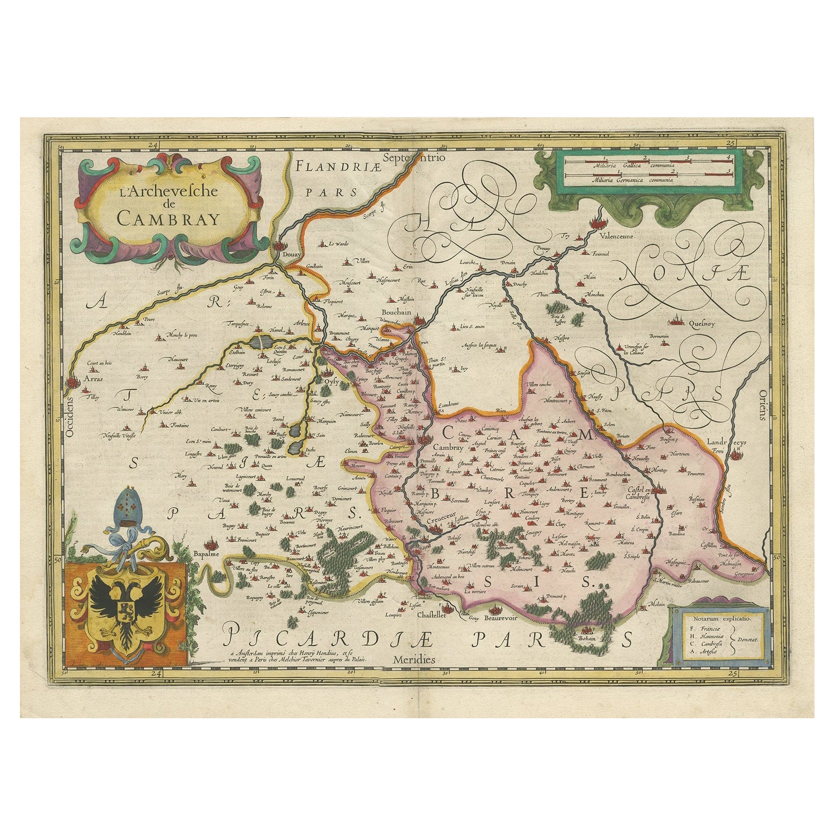
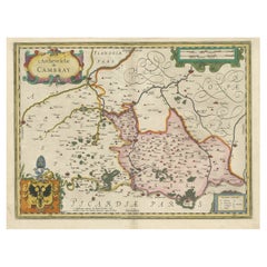
- Decorative Antique Map of the Region of Cambrai, France, ca.1630Located in Langweer, NLAntique map titled 'l'Archevesche de Cambray'. Decorative map of the region of Cambrai, France. Includes the cities of Cambrai, Valencienes, Douai, and Bouchain. Artists and Engravers: Henricus...Category
Antique 1630s Maps
MaterialsPaper
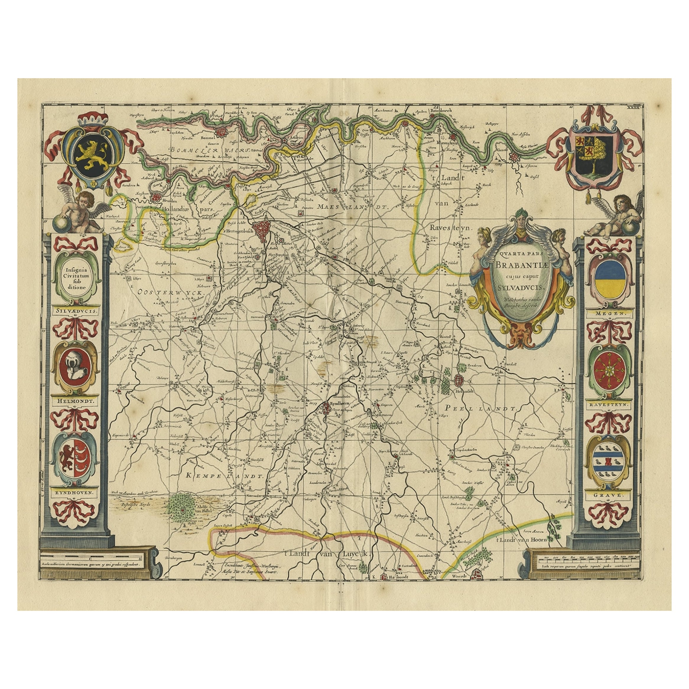
- Decorative Antique Map of the Dutch Province of Noord-Brabant, ca.1640Located in Langweer, NLAntique map titled 'Quarta pars Brabantiae cujus Sylvaducis Willebordus vanderBurgt desrib'. Highly detailed original antique map of the province of Noord-Brabant, the Netherlands. It shows the cities of 's-Hertogenbosch, Eindhoven and surroundings. Includes a decorative cartouche, 6 coats of arms, topped by winged cherubs and two larger coats of arms...Category
Antique 1640s Maps
MaterialsPaper
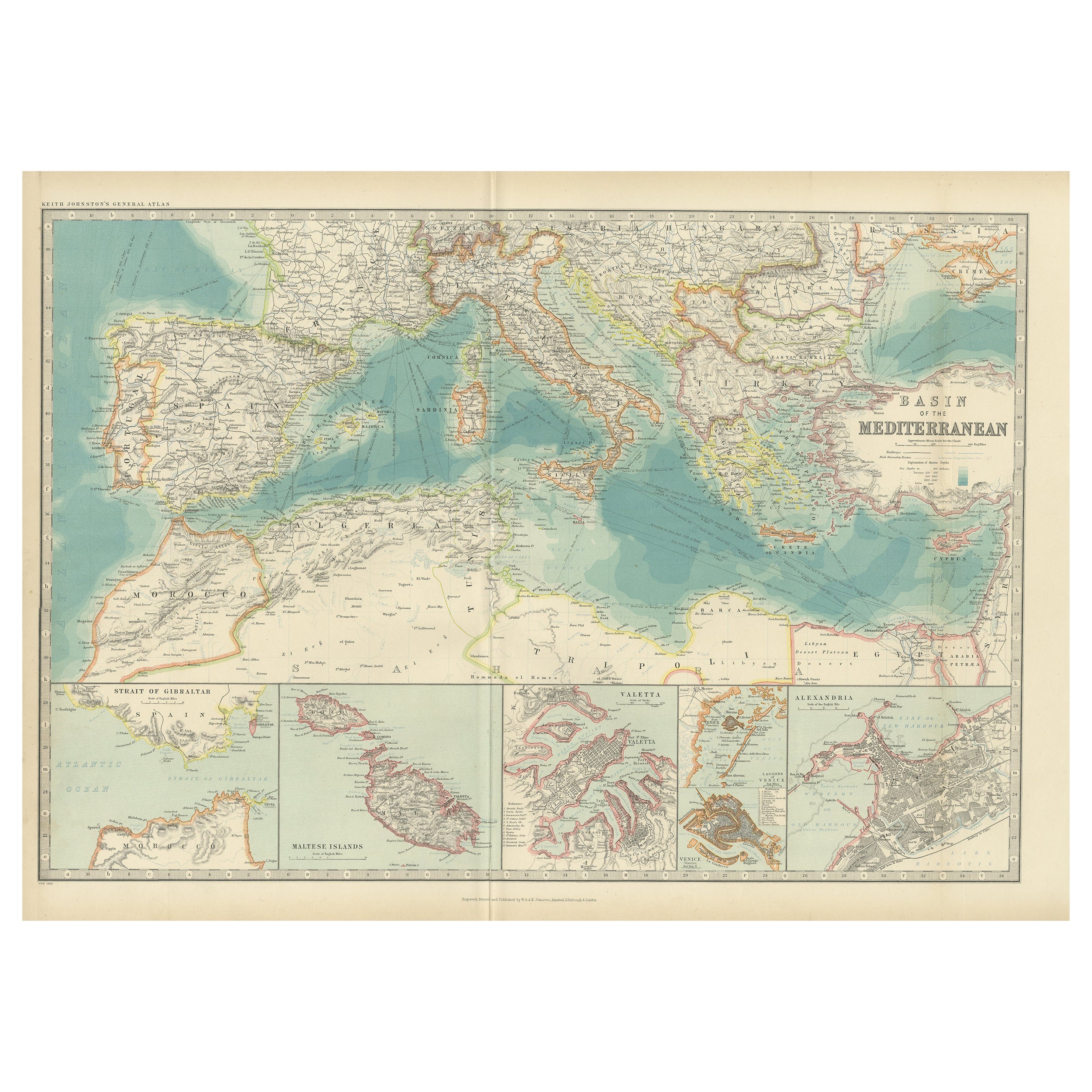
- Antique Map of the Basin of the Mediterranean by Johnston '1909'Located in Langweer, NLAntique map titled 'Basin of the Mediterranean'. Original antique map of the basin of the Mediterranean. With inset maps of the Strait of Gibraltar, Morocco, Maltese Islands, Valetta...Category
Early 20th Century Maps
MaterialsPaper
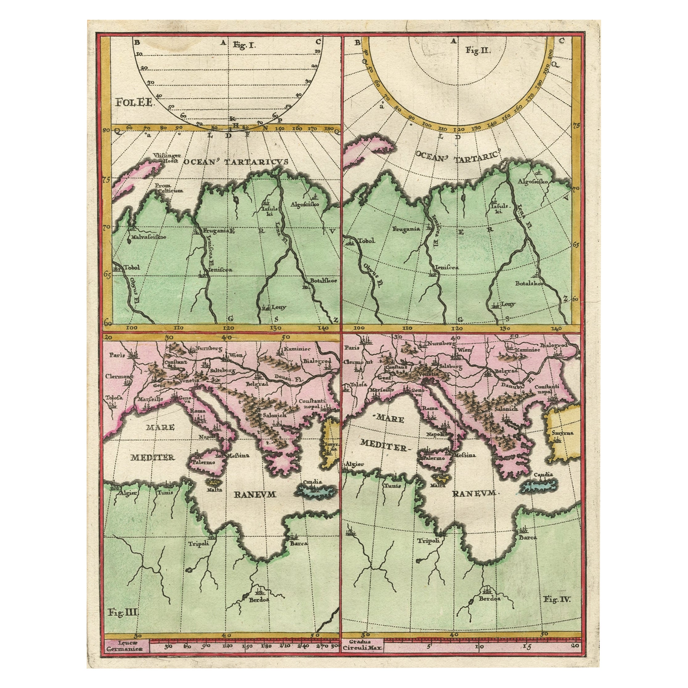
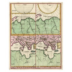
- Curious Map of the Laptev Sea 'Arctic Ocean' and the Mediterranean, ca.1700Located in Langweer, NLAntique map, untitled. Map of the Laptev Sea (Arctic Ocean) and the Mediterranean, printed for Scherer's 'Atlas Novus' (1702-1710). Scherer's 'Atlas Novus' forms an important mil...Category
Antique Early 1700s Maps
MaterialsPaper

You May Also Like
- Large Antique 1859 Map of North AmericaLocated in Sag Harbor, NYThis Map was made by Augustus Mitchell in 1859 It is in amazing condition for being 163 years old. This price is for the rolled up easy to ship version of this piece. I will be Frami...Category
Antique Mid-19th Century American Maps
MaterialsCanvas, Paper

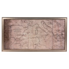
- Large Framed Map of the MediterraneanLocated in New York, NYLarge map/chart chart of The Mediterranean and the Grecian Archipelago showing Italy, Sardinia, Corsica, part of France, etc. in a black frame.Category
20th Century French Mid-Century Modern Maps
- Map of the Republic of GenoaLocated in New York, NYFramed antique hand-coloured map of the Republic of Genoa including the duchies of Mantua, Modena, and Parma. Europe, late 18th century. Dimension: 25...Category
Antique Late 18th Century European Maps
- Antique Map of Principality of MonacoBy Antonio Vallardi EditoreLocated in Alessandria, PiemonteST/619 - "Old Geographical Atlas of Italy - Topographic map of ex-Principality of Monaco" - ediz Vallardi - Milano - A somewhat special edition ---Category
Antique Late 19th Century Italian Other Prints
MaterialsPaper
- Original Antique Map of The World by Thomas Clerk, 1817Located in St Annes, LancashireGreat map of The Eastern and Western Hemispheres On 2 sheets Copper-plate engraving Drawn and engraved by Thomas Clerk, Edinburgh. Published by Mackenzie And Dent, 1817 ...Category
Antique 1810s English Maps
MaterialsPaper
- Antique 18th Century Map of the Province of Pensilvania 'Pennsylvania State'Located in Philadelphia, PAA fine antique of the colony of Pennsylvania. Noted at the top of the sheet as a 'Map of the province of Pensilvania'. This undated and anonymous map is thought to be from the Gentleman's Magazine, London, circa 1775, although the general appearance could date it to the 1760's. The southern boundary reflects the Mason-Dixon survey (1768), the western boundary is placed just west of Pittsburgh, and the northern boundary is not marked. The map has a number of reference points that likely refer to companion text and appear to be connected to boundaries. The western and southern boundaries are marked Q, R, S, for example. A diagonal line runs from the Susquehanna R to the Lake Erie P. A broken line marked by many letters A, B, N, O, etc., appears in the east. There are no latitude or longitude markings, blank verso. Framed in a shaped contemporary gilt wooden frame and matted under a cream colored matte. Bearing an old Graham Arader Gallery...Category
Antique 18th Century British American Colonial Maps
MaterialsPaper


Recently Viewed
View AllMore Ways To Browse
Mediterranean Antique
Antique Wall Map
Antique Wall Maps
Antique Mediterranean Furniture
Royal British Antiques
Large Wall Map
Antique Maltese
British Royal Navy
Large Wall Maps
A La Carte
Antique Map Britain
Antique Britain Map
Antique Maltese Furniture
Antique Furniture Malta
La Victory
Map Of Egypt
South Sea Double
Antique Wall Chart