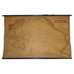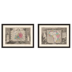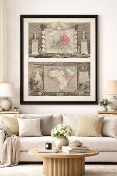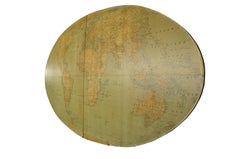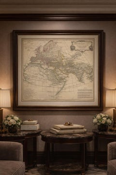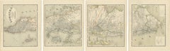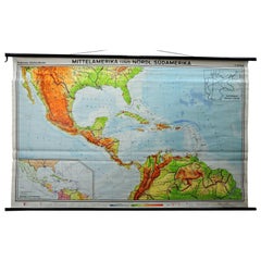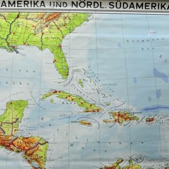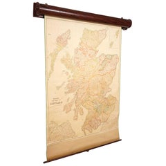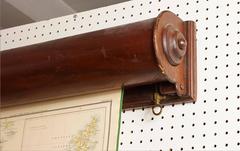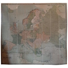
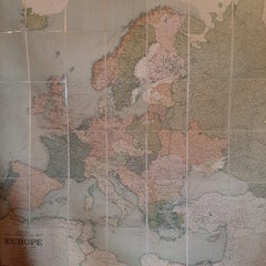
Large Wall Map of Europe by George Philip & Son, circa 1920
$2,072Sale Price|30% Off
Large Wall Map of Europe by George Philip & Son, circa 1920
Located in Langweer, NL
Antique map titled 'Philips' New Commercial Map of Europe'. Very large wall map of Europe including
Category
Early 20th Century British Maps
Materials
Paper, Linen