Items Similar to Beautiful Map of Arnhem and the Veluwe Region, Gelderland, The Netherlands, 1690
Want more images or videos?
Request additional images or videos from the seller
1 of 5
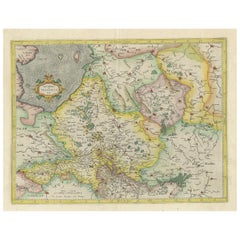
Beautiful Map of Arnhem and the Veluwe Region, Gelderland, The Netherlands, 1690
About the Item
Antique map titled 'Ducatus Geldriae tetrachia Arnhemiensis sive Velavia'.
Beautiful map of the region of Arnhem and the Veluwe region, Gelderland, the Netherlands.
Artists and Engravers: Published by F. de Wit. Frederick de Wit (1629-1706) was known as a map publisher, engraver and seller. He worked in Amsterdam from the Kalverstraat ('Bij den Dam inde dry Crabben' to 1654 and then from 'In de Witte Paskaert' from 1655 to 1706). He produced a large amount of cartographic material including separate terrestrial maps and sea charts, sea and terrestrial atlases, wall maps, and town views. Many of his maps were colored by master Dutch colourists of his day such as Dirck van Santen. De Wit also acquired numerous copperplates from those auctioned by the Blaeu and Janssonius publishing houses sometime after 1674 and republished these works, often with his imprint added. On his death in 1706, The business was continued for a time by his widow Maria untill 1709. In 1710, the De Wit plates were sold to Mortier, Van der Aa, and Renard.
Condition: Very good, original/contemporary hand coloring. General age-related toning, blank verso. Minor wear and foxing. Please study image carefully.
- Dimensions:Height: 20.67 in (52.5 cm)Width: 24.41 in (62 cm)Depth: 0 in (0.02 mm)
- Materials and Techniques:
- Period:1690-1699
- Date of Manufacture:circa 1690
- Condition:Wear consistent with age and use.
- Seller Location:Langweer, NL
- Reference Number:
About the Seller
5.0
Platinum Seller
These expertly vetted sellers are 1stDibs' most experienced sellers and are rated highest by our customers.
Established in 2009
1stDibs seller since 2017
1,919 sales on 1stDibs
Typical response time: <1 hour
- ShippingRetrieving quote...Ships From: Langweer, Netherlands
- Return PolicyA return for this item may be initiated within 14 days of delivery.
More From This SellerView All
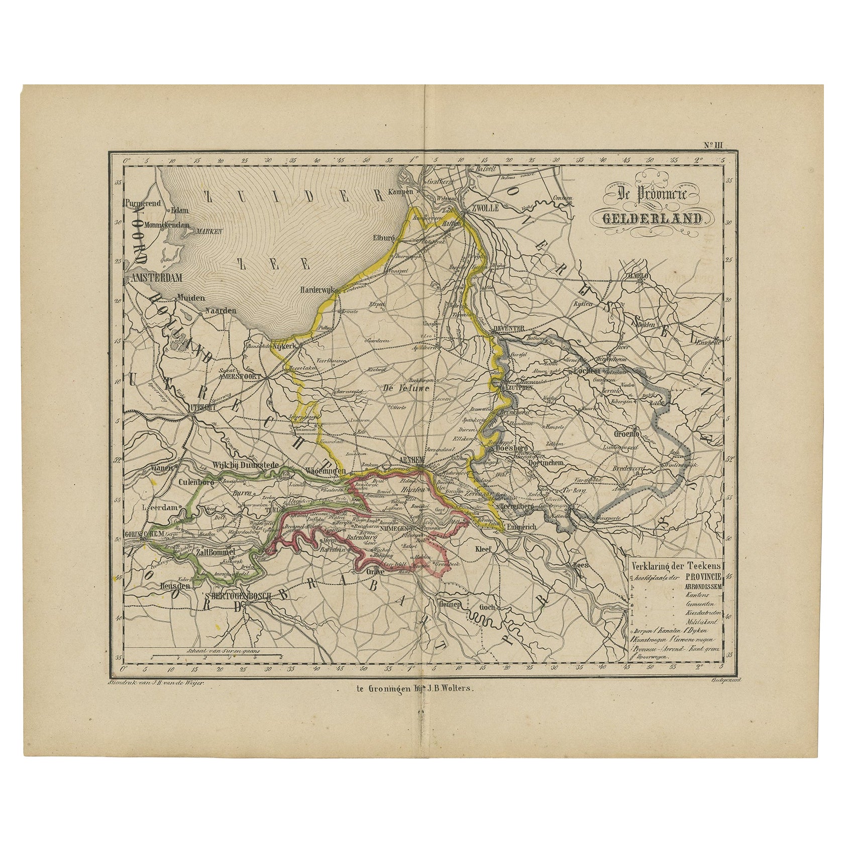
- Antique Map of Gelderland with the Veluwe Etc, the Netherlands, 1864Located in Langweer, NLAntique map titled 'De Provincie Gelderland'. Map of the province of Gelderland, the Netherlands. This map originates from 'F. C. Brugsma's Atlas van het Koninkrijk der Nederland...Category
Antique 19th Century Maps
MaterialsPaper
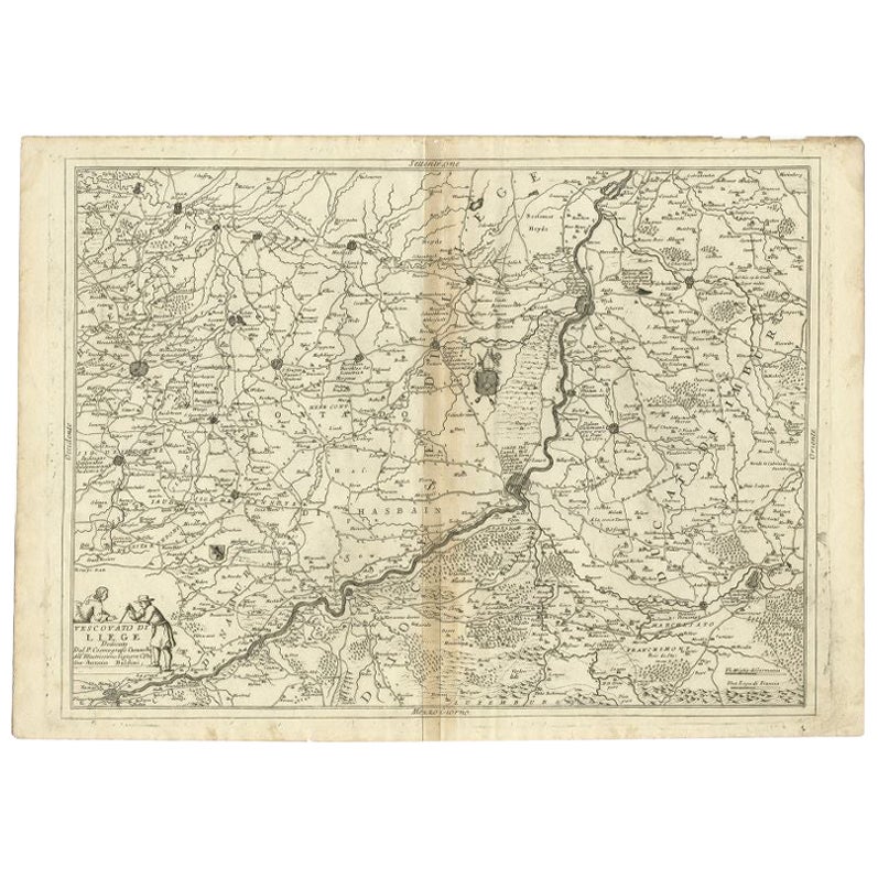
- Antique Map of the Region of Liege by Coronelli, 1690By Vincenzo CoronelliLocated in Langweer, NLAntique map titled 'Vescovato di Liege (..)'. Map of the Belgium area centered on Liege and the course of Meuse/Maas River. Also depicts the cities of Maastricht, Namur and Tienen. O...Category
Antique 17th Century Maps
MaterialsPaper
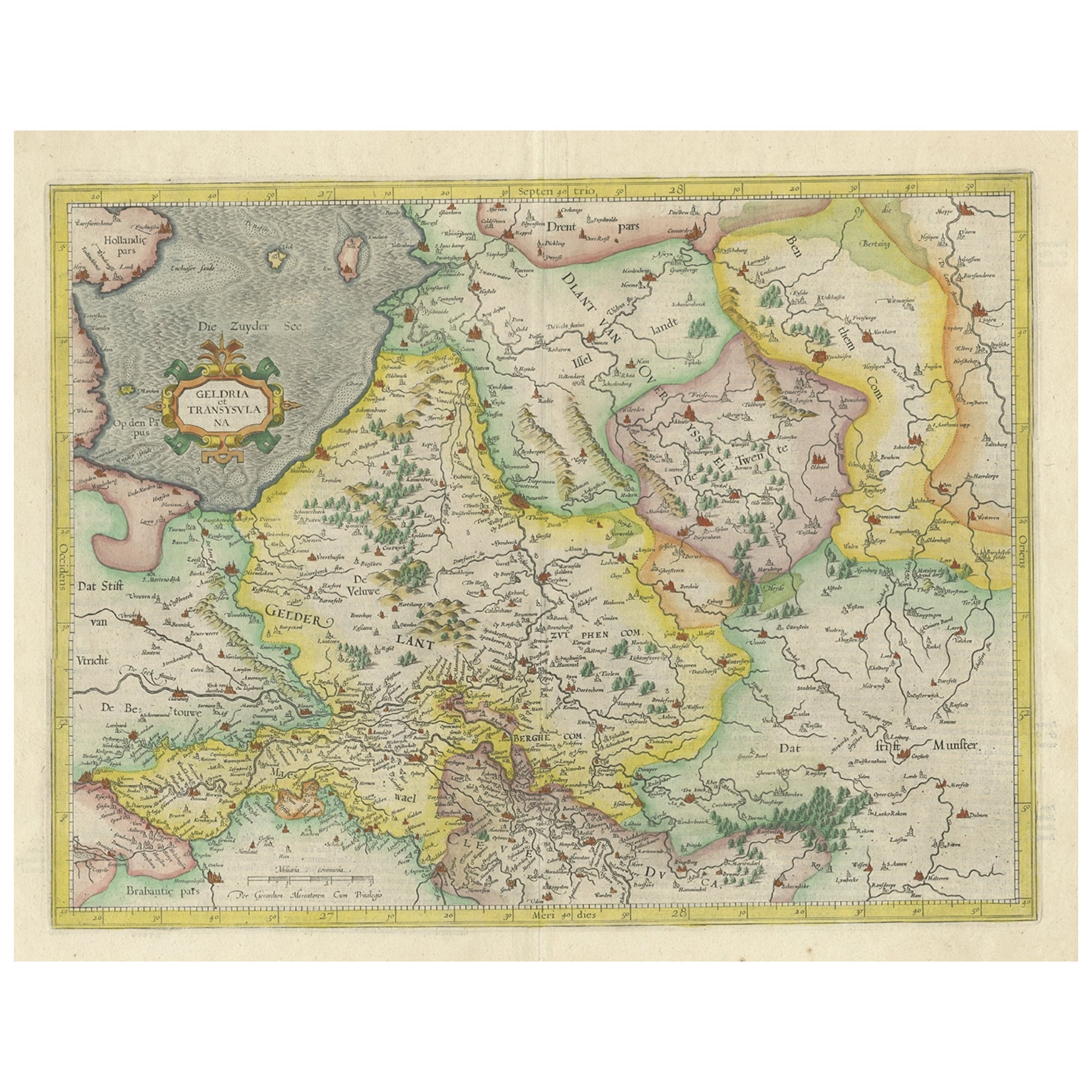
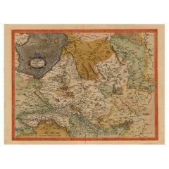
- One of the Earliest Maps of Gelderland and Overijssel in the Netherlands, 1623Located in Langweer, NLAntique map titled 'Geldria et Transysulana'. One of the earliest maps of Gelderland and Overijssel in the Netherlands, prepared by Gerard Mercator. Artists and Engravers: Ger...Category
Antique 1620s Maps
MaterialsPaper
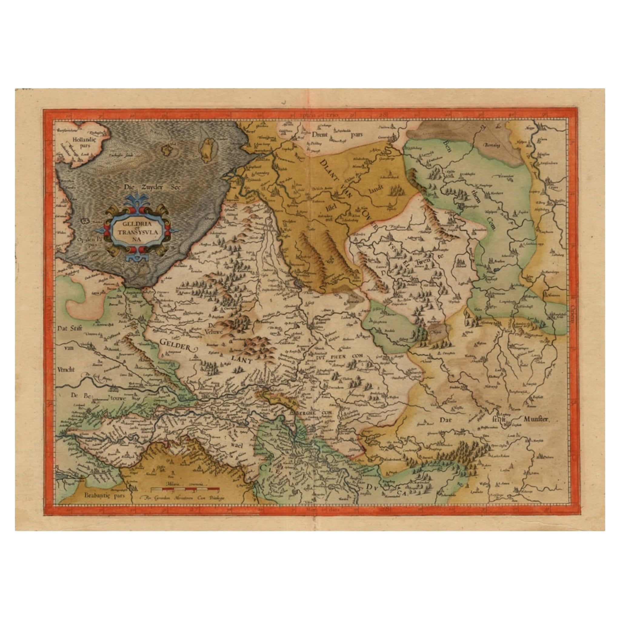
- Early Antique Map of Gelderland and Overijssel in the Netherlands, c.1625Located in Langweer, NLAntique map titled 'Geldria et Transysulana'. One of the earliest maps of Gelderland and Overijssel in the Netherlands, prepared by Gerard Mercator. Artists and Engravers: Gerard...Category
Antique 17th Century Maps
MaterialsPaper
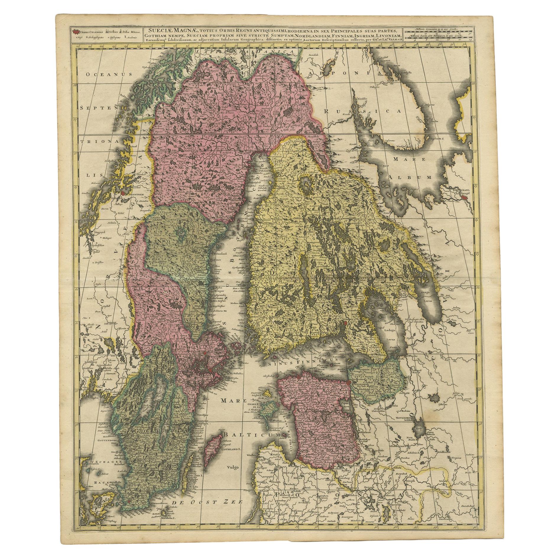
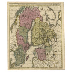
- Antique Map of Scandinavia and the Baltic Region by Valk, circa 1690Located in Langweer, NLAntique map titled 'Sueciae Magnae, totius orbis regni antiquissimi (..)'. Map of Scandinavia and the Baltic region. It shows Norway, Sweden, Finla...Category
Antique Late 17th Century Maps
MaterialsPaper
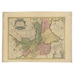
- Antique Map of the Province of Gelderland, the Netherlands, c.1690Located in Langweer, NLAntique map titled 'Ducatus Geldriae novissima descriptio'. Map of Gelderland, The Netherlands. Shows many cities (like Arnhem, Nijmegen, Eindhoven, Zutphen, Zwolle, etc), roads, riv...Category
Antique 17th Century Maps
MaterialsPaper
You May Also Like
- The Normandy Region of France: A 17th C. Hand-colored Map by Sanson and JaillotBy Nicolas SansonLocated in Alamo, CAThis large hand-colored map entitled "Le Duché et Gouvernement de Normandie divisée en Haute et Basse Normandie en divers Pays; et par evêchez, avec le Gouvernement General du Havre ...Category
Antique 1690s French Maps
MaterialsPaper
- Original Antique Map of The Netherlands, Engraved by Barlow, Dated 1807Located in St Annes, LancashireGreat map of Netherlands Copper-plate engraving by Barlow Published by Brightly & Kinnersly, Bungay, Suffolk. Dated 1807 Unframed.Category
Antique Early 1800s English Maps
MaterialsPaper
- Original Antique Map of The Netherlands, Sherwood, Neely & Jones, Dated 1809Located in St Annes, LancashireGreat map of The Netherlands Copper-plate engraving by Cooper Published by Sherwood, Neely & Jones. Dated 1809 Unframed.Category
Antique Early 1800s English Maps
MaterialsPaper
- 17th Century Hand Colored Map of the Liege Region in Belgium by VisscherBy Nicolaes Visscher IILocated in Alamo, CAAn original 17th century map entitled "Leodiensis Episcopatus in omnes Subjacentes Provincias distincté divisusVisscher, Leodiensis Episcopatus" by Nicolaes Visscher II, published in Amsterdam in 1688. The map is centered on Liege, Belgium, includes the area between Antwerp, Turnhout, Roermond, Cologne, Trier and Dinant. This attractive map is presented in a cream-colored mat measuring 30" wide x 27.5" high. There is a central fold, as issued. There is minimal spotting in the upper margin and a tiny spot in the right lower margin, which are under the mat. The map is otherwise in excellent condition. The Visscher family were one of the great cartographic families of the 17th century. Begun by Claes Jansz Visscher...Category
Antique Late 17th Century Dutch Maps
MaterialsPaper
- Map of the Republic of GenoaLocated in New York, NYFramed antique hand-coloured map of the Republic of Genoa including the duchies of Mantua, Modena, and Parma. Europe, late 18th century. Dimension: 25...Category
Antique Late 18th Century European Maps
- Map "Estuary- Mouth of the Thames"Located in Alessandria, PiemonteST/426 - Antique French Map of the estuary of the Thames, map dated 1769 - "Mape of the entrance of the Thames. Designed by filing of Navy cards fo...Category
Antique Mid-18th Century French Other Prints
MaterialsPaper


