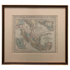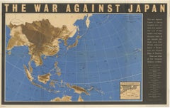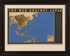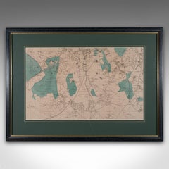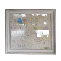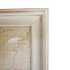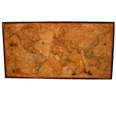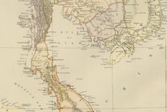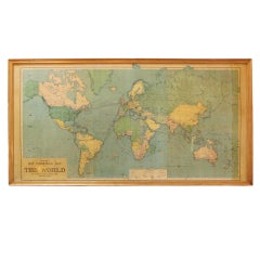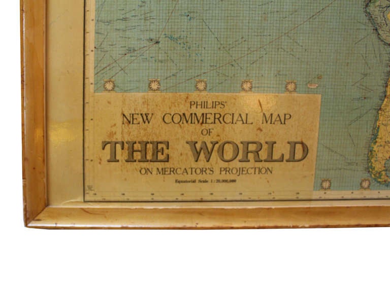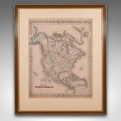
Antique North America Map, USA, Canada, Mexico, Cartography, Colton, Victorian
$937Sale Price|20% Off
H 22.45 in W 18.71 in D 0.99 in
Antique North America Map, USA, Canada, Mexico, Cartography, Colton, Victorian
Located in Hele, Devon, GB
Fascinating, large framed map of the North American continent Displays a desirable aged patina and in good order Set within a quality, later frame behind clear, bright glass Shows th...
Category
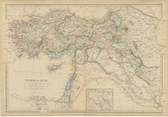
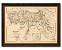
Antique Mid-19th Century American Victorian Maps
Materials
Paper