Items Similar to Antique Engraving of the Regions of France with 36 Coats of Arms, 1732


Want more images or videos?
Request additional images or videos from the seller
1 of 6
Antique Engraving of the Regions of France with 36 Coats of Arms, 1732
$302.45
$378.0620% Off
£226.71
£283.3820% Off
€256
€32020% Off
CA$415.52
CA$519.4020% Off
A$463.89
A$579.8620% Off
CHF 243.07
CHF 303.8420% Off
MX$5,678.42
MX$7,098.0320% Off
NOK 3,086.98
NOK 3,858.7320% Off
SEK 2,910.63
SEK 3,638.2920% Off
DKK 1,948.77
DKK 2,435.9620% Off
Shipping
Retrieving quote...The 1stDibs Promise:
Authenticity Guarantee,
Money-Back Guarantee,
24-Hour Cancellation
About the Item
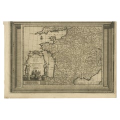
Antique print titled 'La France divisée en ses douze anciens Gouvernements'. Old print with a description of the early regions of France, including 36 early coats of arms. This print orginates from 'Atlas Historique'.
Artists and Engravers: Henri Abraham Chatelain (1684-1743), his father Zacharie Chatelain (d.1723) and Zacharie Junior (1690-1754), worked as a partnership publishing the Atlas Historique.
Condition: Very good, general age-related toning. Please study image carefully.
Date: 1732
Overall size: 51.4 x 44.8 cm.
Image size: 44.7 x 33.8 cm.
Antique prints have long been appreciated for both their aesthetic and investment value. They were the product of engraved, etched or lithographed plates. These plates were handmade out of wood or metal, which required an incredible level of skill, patience and craftsmanship. Whether you have a house with Victorian furniture or more contemporary decor an old engraving can enhance your living space. We offer a wide range of authentic antique prints for any budget.
- Dimensions:Height: 17.64 in (44.8 cm)Width: 20.24 in (51.4 cm)Depth: 0 in (0.01 mm)
- Materials and Techniques:
- Period:
- Date of Manufacture:1732
- Condition:Condition: Very good, general age-related toning. Please study image carefully.
- Seller Location:Langweer, NL
- Reference Number:Seller: BG-019461stDibs: LU3054329578772
About the Seller
5.0
Recognized Seller
These prestigious sellers are industry leaders and represent the highest echelon for item quality and design.
Platinum Seller
Premium sellers with a 4.7+ rating and 24-hour response times
Established in 2009
1stDibs seller since 2017
2,511 sales on 1stDibs
Typical response time: <1 hour
- ShippingRetrieving quote...Shipping from: Langweer, Netherlands
- Return Policy
Authenticity Guarantee
In the unlikely event there’s an issue with an item’s authenticity, contact us within 1 year for a full refund. DetailsMoney-Back Guarantee
If your item is not as described, is damaged in transit, or does not arrive, contact us within 7 days for a full refund. Details24-Hour Cancellation
You have a 24-hour grace period in which to reconsider your purchase, with no questions asked.Vetted Professional Sellers
Our world-class sellers must adhere to strict standards for service and quality, maintaining the integrity of our listings.Price-Match Guarantee
If you find that a seller listed the same item for a lower price elsewhere, we’ll match it.Trusted Global Delivery
Our best-in-class carrier network provides specialized shipping options worldwide, including custom delivery.More From This Seller
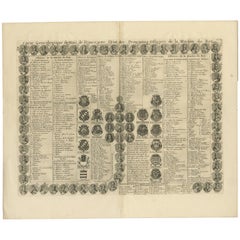
View AllAntique Genealogy Chart of the Kings of France with Portrets, 1732
Located in Langweer, NL
Antique print titled 'Carte Genealogique des Rois de France (..)'. Genealogical chart of the French Kings with descriptive French text. This print orginates f...
Category
Antique 18th Century Prints
Materials
Paper
$283 Sale Price
20% Off
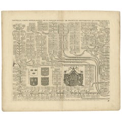
Two Antique Genealogy Charts of the Royal House of France, Coats of Arms, 1732
Located in Langweer, NL
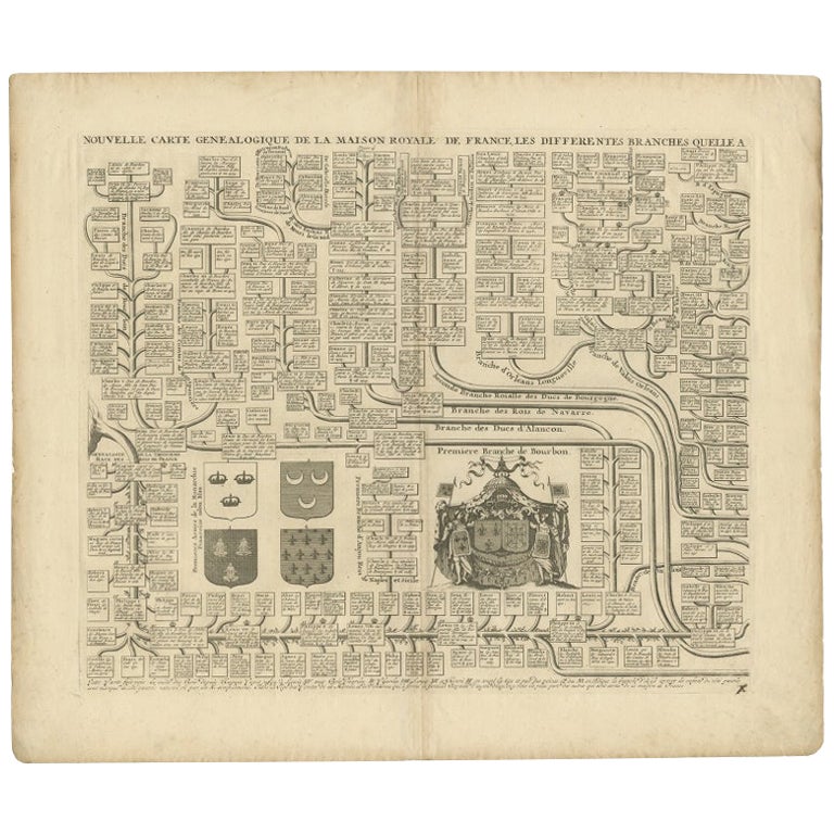
Antique print titled 'Nouvelle Carte Genealogique de la Maison Royale de France (..)'. Set of two prints depicting a genealogical chart of the Royal ...
Category
Antique 18th Century Prints
Materials
Paper
$519 Sale Price / set
20% Off
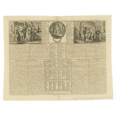
Antique Print of the Monarchy and Nobles of Great Britain by Chatelain, c.1720
Located in Langweer, NL
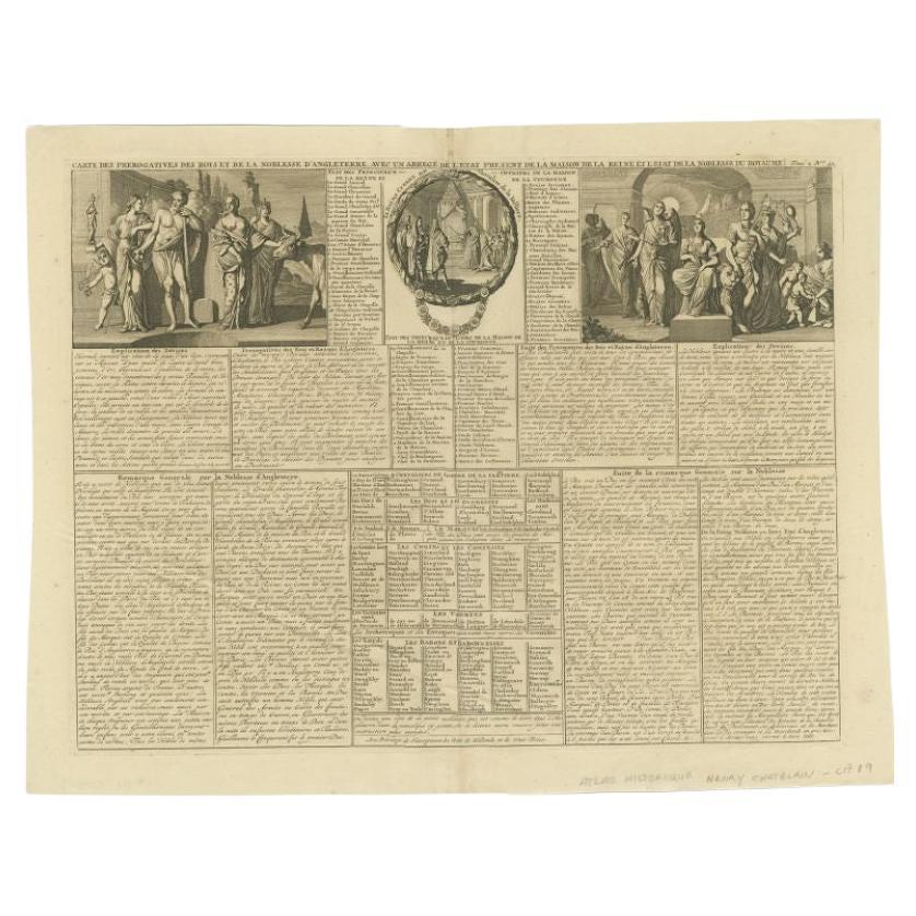
Antique print titled 'Carte des Prerogatives des Rois et de la Noblesse d'Angleterre (..)'. Old print showing the privileges of the monarchy and nobles of Great Britain as well as th...
Category
Antique 18th Century Prints
Materials
Paper
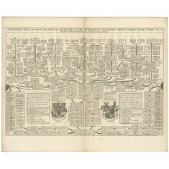
Antique Genealogy Chart of Palatinate & Bavarian Houses with Coats of Arms, 1732
Located in Langweer, NL
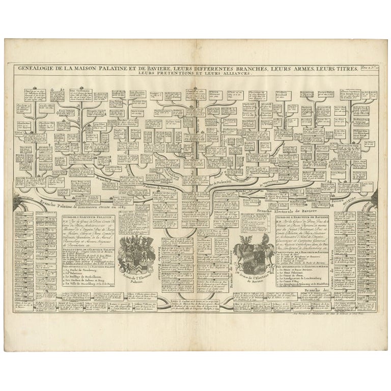
Antique print titled 'Genealogie de la Maison Palatine (..)'. Chart of the genealogy of the Palatinate (Die Pfalz) and Bavarian (Baiern) Houses. Shows the coats of arms of both Elect...
Category
Antique 18th Century Prints
Materials
Paper
$226 Sale Price
20% Off
Antique Map of France with Beautiful Title Cartouche and Border, c.1740
Located in Langweer, NL
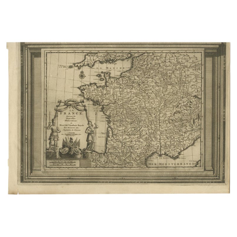
Antique map titled 'La France suivant les nouvelles Observations de Messrs de l'Academie Royale des Sciences etc.'. Rare map of France with beautiful title cartouche and decorative b...
Category
Antique 18th Century Maps
Materials
Paper
$425 Sale Price
20% Off
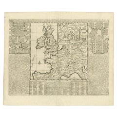
Antique Map of the British Isles and Part of Europe by Chatelain, c.1720
Located in Langweer, NL
Antique map titled 'Carte pour l'Intelligence de l'Histoire d'Angleterre (..)'. Decorative map showing the British Isles and the various regions conquered in Europe. Includese two elaborate family trees for the House of York...
Category
Antique 18th Century Maps
Materials
Paper
You May Also Like
1714 Henri Chatelain "Nouvelle Carte Des Etatas Du Grand.Duc De Mos Moscovie Eur
Located in Norton, MA
A 1714 Henri Chatelain map, entitled
"Nouvelle Carte Des Etatas Du Grand Duc De Moscovie En Europe,"
Ricb001
Henri Abraham Chatelain (1684-1743) was a Huguenot pastor of Parisi...
Category
Antique Early 18th Century Dutch Maps
Materials
Paper

1640 Joan Bleau Map Entitled"Diocecese de rheims et le pais de rethel, " Eic.a011
Located in Norton, MA
1640 Joan Bleau map entitled
"Diocecese de rheims et le pais de rethel,"
Ric.a011
OAN BLAEU
Diocecese de Rheims, et le pais de Rethel.
Handcolored engraving, c.1640.
...
Category
Antique 17th Century Dutch Maps
Materials
Paper

Accuratissima Galliae Tabula - Etching by Frederick de Wit - 1680ca
By Frederick de Wit
Located in Roma, IT
This double-page etching with contemporary coloring, entitled Accuratissima Galliae Tabula [...], was realized by the cartographer Frederick de Wit for the famous Atlas published in ...
Category
1680s Modern Figurative Prints
Materials
Etching

Map Holy Land La Terre Sainte Engraved van Loon Published N de Fer 1703 French
Located in BUNGAY, SUFFOLK
La Terre Sainte, The Holy Land, Tiree Des Memoires De M.De.La Rue. Par N. de Fer. Geographe de Sa Majeste Catoliq et de Monseigneur le Dauphin. Avec Privil du Roi 1703
Detailed map of the Holy Land from Nicholas de Fer's L'Atlas Curieux ou le Monde. East is oriented at the top.
MAKER Nicolas de Fer 1646-1720
The French cartographer and engraver, Nicolas de Fer, was a master at creating maps that were works of art. The maps that he published were printed during the Baroque period when the decorative arts were characterized by ornate detail. De Fer’s detailed maps and atlases were valued more for their decorative content than their geographical accuracy.
Nicolas de Fer was born in 1646. His father, Antoine de Fer, owned a mapmaking firm. At the age of twelve, Nicolas was apprenticed to a Parisian engraver named Louis Spirinx. The family business was starting to decline when his father died in 1673. Nicolas de Fer’s mother, Genevieve, took over the business after the death of her husband. In 1687 the business was passed on to Nicolas and the profits increased after he took over the firm. Nicolas de Fer was a prolific cartographer who produced atlases and hundreds of single maps. He eventually became the official geographer to King Louis XIV of France and King Philip V...
Category
Antique Early 1700s French Louis XIV Maps
Materials
Paper

Antique Map - Gallia - Etching by Johannes Janssonius - 1650s
By Johannes Janssonius
Located in Roma, IT
Antique Map - Gallia is an antique map realized in 1650 by Johannes Janssonius (1588-1664).
The Map is Hand-colored etching, with coeval watercoloring.
Good conditions with slight ...
Category
1650s Modern Figurative Prints
Materials
Etching

1752 Vaugoundy Map of Flanders : Belgium, France, and the Netherlands, Ric.a002
Located in Norton, MA
Large Vaugoundy Map of Flanders:
Belgium, France, and the Netherlands
Colored -1752
Ric.a002
Description: This is a 1752 Didier Robert de Vaugondy map of Flanders. The map de...
Category
Antique 17th Century Unknown Maps
Materials
Paper

More Ways To Browse
Chinese Lacquerware
Chinese Ming Dynasty Statues
Chinese Ming Style Side Table
Chinese Scroll Bird Painting
Chinese Wood Lantern
Clock Angel
Cloisonne Jar With Lid
Clown Pierrot
Corn Cob
Cottage By The Sea
Crystal Candy Dish
Curtis Jere Ship
Curved French Headboard
Dancing Shelf
Deniere A Paris
Divan Bed
Dragon Silk Embroidery
Eames Tulip Table