Items Similar to Vintage Wall Chart of a Landscape and Geographic Map, circa 1955

Want more images or videos?
Request additional images or videos from the seller
1 of 5
Vintage Wall Chart of a Landscape and Geographic Map, circa 1955
$575.11
$718.8920% Off
£428.13
£535.1620% Off
€480
€60020% Off
CA$787.76
CA$984.6920% Off
A$876.16
A$1,095.2020% Off
CHF 457.50
CHF 571.8820% Off
MX$10,661.89
MX$13,327.3620% Off
NOK 5,842.99
NOK 7,303.7420% Off
SEK 5,479.70
SEK 6,849.6220% Off
DKK 3,654.07
DKK 4,567.5920% Off
Shipping
Retrieving quote...The 1stDibs Promise:
Authenticity Guarantee,
Money-Back Guarantee,
24-Hour Cancellation
About the Item
Vintage wall chart titled 'Kaart en Landschap'. This wall chart shows a mountain range and geographic map. Published by J.B. Wolters, circa 1955.
- Dimensions:Height: 32.68 in (83 cm)Width: 45.67 in (116 cm)Depth: 0.02 in (0.5 mm)
- Materials and Techniques:
- Period:
- Date of Manufacture:circa 1955
- Condition:Backed with linen. Shows some wear. Please study images carefully.
- Seller Location:Langweer, NL
- Reference Number:1stDibs: LU3054320873292
About the Seller
5.0
Recognized Seller
These prestigious sellers are industry leaders and represent the highest echelon for item quality and design.
Platinum Seller
Premium sellers with a 4.7+ rating and 24-hour response times
Established in 2009
1stDibs seller since 2017
2,508 sales on 1stDibs
Typical response time: <1 hour
- ShippingRetrieving quote...Shipping from: Langweer, Netherlands
- Return Policy
Authenticity Guarantee
In the unlikely event there’s an issue with an item’s authenticity, contact us within 1 year for a full refund. DetailsMoney-Back Guarantee
If your item is not as described, is damaged in transit, or does not arrive, contact us within 7 days for a full refund. Details24-Hour Cancellation
You have a 24-hour grace period in which to reconsider your purchase, with no questions asked.Vetted Professional Sellers
Our world-class sellers must adhere to strict standards for service and quality, maintaining the integrity of our listings.Price-Match Guarantee
If you find that a seller listed the same item for a lower price elsewhere, we’ll match it.Trusted Global Delivery
Our best-in-class carrier network provides specialized shipping options worldwide, including custom delivery.More From This Seller
View AllVintage Wall Chart of Australia, 1949
Located in Langweer, NL
Vintage wall chart of Australia and surroundings. Published by R. Bos and K. Zeeman, 1949.
Category
Mid-20th Century Prints
Materials
Paper

$718 Sale Price
25% Off
Antique Map of the Islands of the Atlantic by J. Tallis
Located in Langweer, NL
A highly decorative and detailed mid-19th century map of the Islands of the Atlantic -- including the Azores, Madeira, Bermuda, the Canary Islands and the Cape Verde Islands -- which...
Category
Antique Mid-19th Century Maps
Materials
Paper

$287 Sale Price
20% Off
Original Antique Hand-colored World Map with or without Frame, '1696'
Located in Langweer, NL
Antique world map titled 'Mappe-Monde dressee sur les Observations de Mrs. de l'Academie Royale des Sciences (..)'. Beautiful original antique world map...
Category
Antique Late 17th Century Maps
Materials
Paper

$4,313 Sale Price
20% Off
Large Topographical and Geological Map of the Teshio Oil Field, '1936'
Located in Langweer, NL
Topographical and geological map of the Teshio oil field. Shows location of oil well, oil sand, natural gas, coal, Sulphur spring, anticlinal axis, prof...
Category
20th Century Maps
Materials
Linen, Paper
$1,150 Sale Price
20% Off
Decorative Vintage Print, Dutch Chart of Australia, 1st Edition, 1952
Located in Langweer, NL
The vintage school chart of Australia titled "Australië," created by W. Bakker & H. Rush and published in 1952:
**Title**: Australië
**Creators**: W. Bakker & H. Rush
**Publication ...
Category
Mid-20th Century European Maps
Materials
Canvas
$335 Sale Price
20% Off
Antique Map of the East Indies by Brouwer, 1917
Located in Langweer, NL
Antique map titled 'Geotektonische Schetskaart van het Oostelijk Gedeelte van den Oost-Indischen Archipel':
**Title**: Geotektonische Schetskaart van het Oostelijk Gedeelte van den ...
Category
Early 20th Century Maps
Materials
Canvas, Paper
$1,150 Sale Price
20% Off
You May Also Like
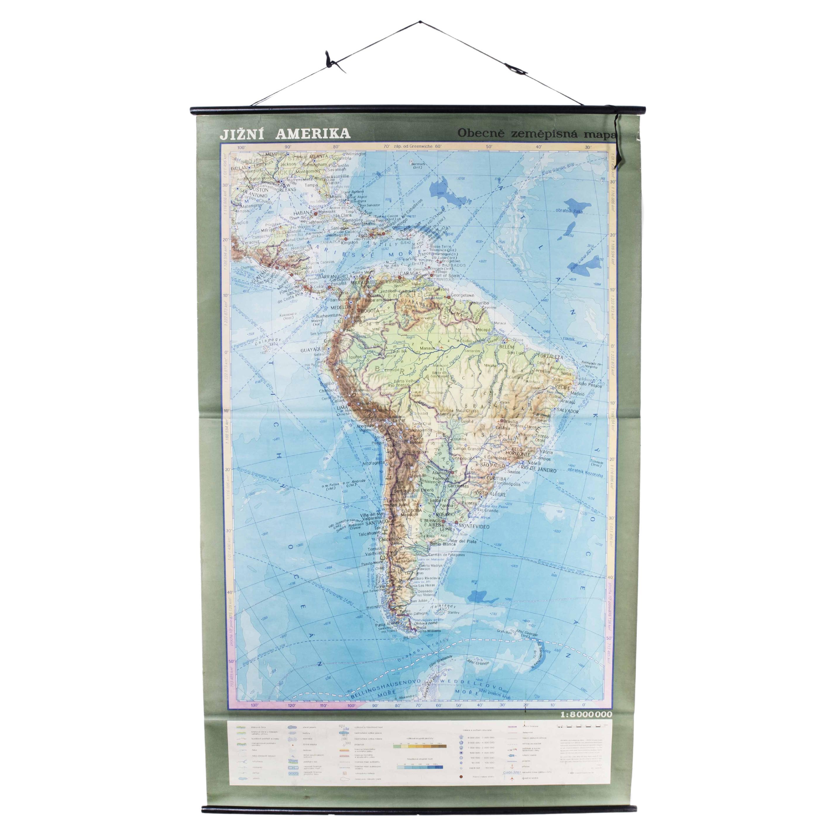
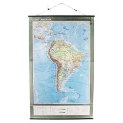
Late 20th Century Educational Geographic Map - South African Topography (1728.5)
Located in Hook, Hampshire
Late 20th Century Educational Geographic Map – South African Topography (1728.5)
Late 20th Century Educational Geographic Map – South African Topograp...
Category
Late 20th Century Czech Posters
Materials
Cotton
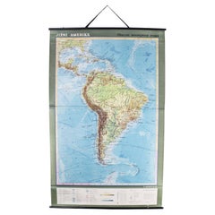
Late 20th Century Educational Geographic Map - South African Topography (1728.4)
Located in Hook, Hampshire
Late 20th Century Educational Geographic Map – South African Topography (1728.4)
Late 20th Century Educational Geographic Map – South African Topograp...
Category
Late 20th Century Czech Posters
Materials
Cotton
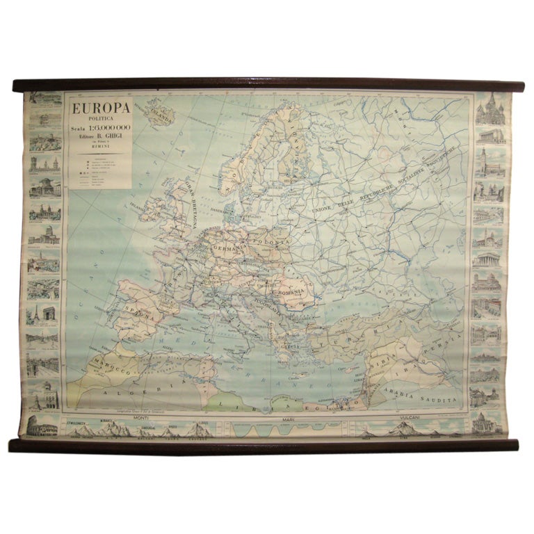
Map of Europe
Located in Los Angeles, CA
28 cities capitol drawings around the border of this Europe political map.
Category
Vintage 1950s Italian Mid-Century Modern Prints
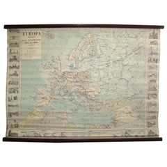
$500
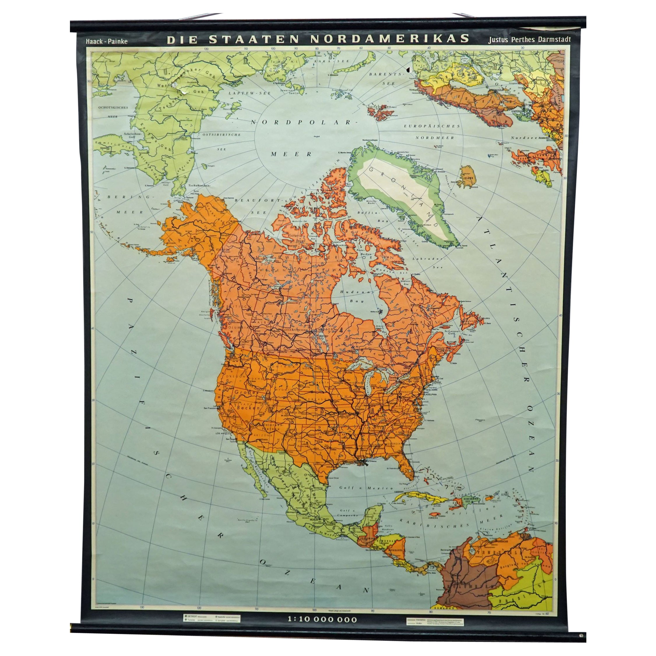
Vintage Map Wall Chart Countries of North America Rollable Mural Poster
Located in Berghuelen, DE
The vintage pull-down school map illustrates the countries / states of North America. Published by Haack-Painke Justus Perthes Darmstadt. Colorful print on paper reinforced with canv...
Category
Late 20th Century German Country Prints
Materials
Canvas, Wood, Paper

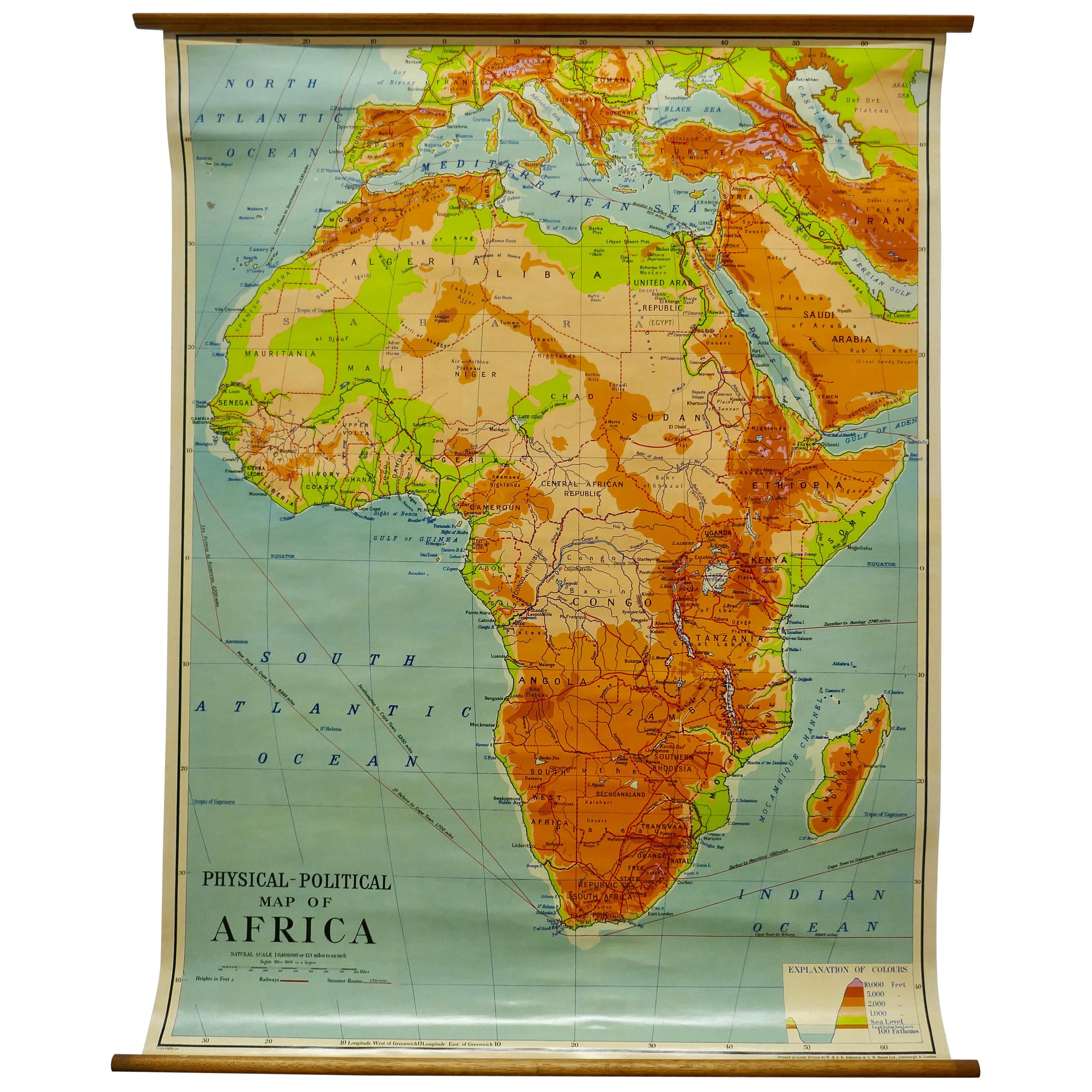
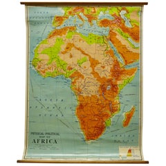
W&A K Johnston’s Charts of Physical Maps by G W Bacon
Located in Godshill, Isle of Wight
Large University chart “Africa Physical Political” by Bacon
W&A K Johnston’s charts of physical maps by G W Bacon,
This is a Physical Political map...
Category
Early 20th Century Rustic Posters
Materials
Linen
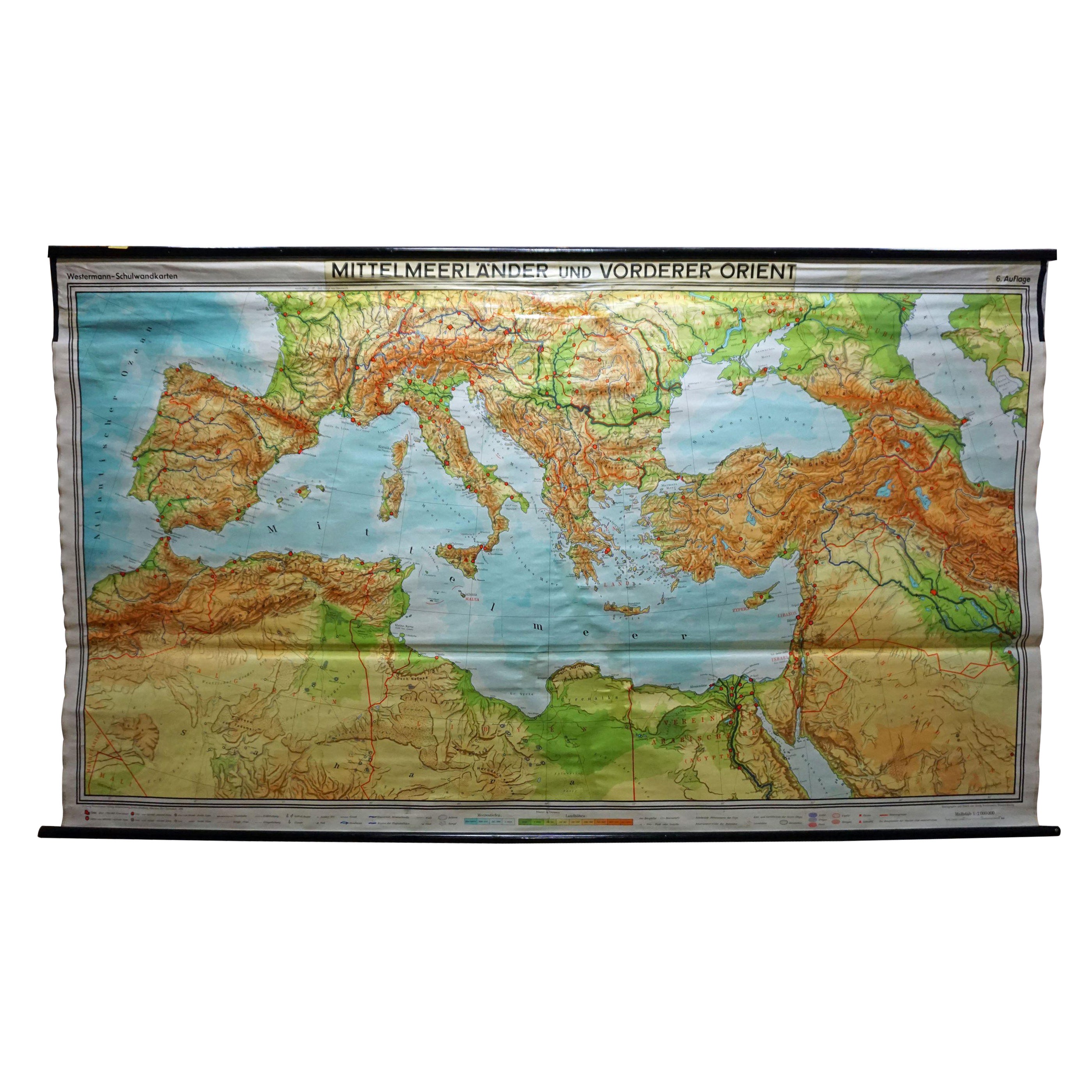
Vintage Mural Map Mediterranean Sea Near East Countries Rollable Wall Chart
Located in Berghuelen, DE
A large countrycore pull-down map showing the countries surrounding the Mediterranean Sea, published by Westermann. Colorful print on paper reinforced with canvas.
Measurements:
Width 269 cm (105.91 inch)
Height 149 cm (58.66 inch)
The measurements shown refer just to the canvas and do not include the poles.
Background information on the history of school wall charts:
The idea to upgrade every day school life by using pictures...
Category
Vintage 1970s German Country Prints
Materials
Canvas, Wood, Paper
