Items Similar to Nelson's Guide to the City of New York and its Neighbourhood, 1858
Want more images or videos?
Request additional images or videos from the seller
1 of 6
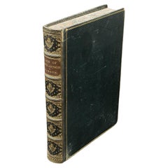
Nelson's Guide to the City of New York and its Neighbourhood, 1858
$421.75
$527.1820% Off
£313.96
£392.4520% Off
€352
€44020% Off
CA$577.69
CA$722.1120% Off
A$642.51
A$803.1420% Off
CHF 335.50
CHF 419.3820% Off
MX$7,818.72
MX$9,773.4020% Off
NOK 4,284.86
NOK 5,356.0820% Off
SEK 4,018.44
SEK 5,023.0520% Off
DKK 2,679.65
DKK 3,349.5720% Off
Shipping
Retrieving quote...The 1stDibs Promise:
Authenticity Guarantee,
Money-Back Guarantee,
24-Hour Cancellation
About the Item
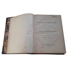
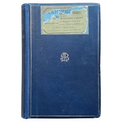
"Nelson's Guide to the City of New York and its Neighbourhood," published in 1858 by T. Nelson in London and New York, serves as an invaluable resource for exploring the historical and cultural richness of New York City during the mid-19th century.
This small guidebook encapsulates a diverse range of topics including a Historical Retrospect, Places of Amusement, the vibrant Broadway scene, the New Bible House, various Churches, the Crystal Palace, the Croton Aqueduct, significant Public Works, Literary Institutions, and Union Square among others. It is designed to cater to both residents and visitors, providing a comprehensive overview of the city's attractions and infrastructural achievements.
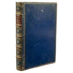
The physical attributes of the book contribute to its charm and historical value. It is a 16mo size, making it conveniently portable, and comprises 64 printed text pages, along with a frontispiece featuring a map of New York City. The inclusion of 9 printed color plates alongside illustrations interspersed throughout the text enriches the reader's visual experience, offering a glimpse into the architectural and cultural landmarks of the time. Additionally, a second map is creatively incorporated into the title page, enhancing the guide's utility and appeal.
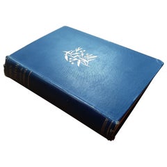
The book is bound in blue cloth covers, with the title elegantly presented in gilt letters on both the cover and spine, indicating the guide's prestigious nature and the care taken in its presentation. However, it shows signs of wear and age, with chipping noted at the top and edge of the spine, which adds to the book's character and testifies to its historical journey and the hands it has passed through over the years.
On the first page there is a handwritten note to " en Madame Joseph De Decker avec les compliments du H. Amy. N.Y. 27 Janvier 1865"
"Nelson's Guide to the City of New York and its Neighbourhood" stands as a testament to the city's rich history and cultural vibrancy in the 1850s, offering modern readers a window into the past and an opportunity to explore the evolution of New York City through its pages.
- Dimensions:Height: 5.91 in (15 cm)Width: 3.94 in (10 cm)Depth: 0.4 in (1 cm)
- Materials and Techniques:
- Period:
- Date of Manufacture:1858
- Condition:Wear consistent with age and use. Minor structural damages. Fair to good. Some minor foxing on text pages and a few pages letting loose. The printed color prints are very good still. Study the images carefully.
- Seller Location:Langweer, NL
- Reference Number:Seller: BG-132251stDibs: LU3054338203712
About the Seller
5.0
Recognized Seller
These prestigious sellers are industry leaders and represent the highest echelon for item quality and design.
Platinum Seller
Premium sellers with a 4.7+ rating and 24-hour response times
Established in 2009
1stDibs seller since 2017
2,510 sales on 1stDibs
Typical response time: <1 hour
- ShippingRetrieving quote...Shipping from: Langweer, Netherlands
- Return Policy
Authenticity Guarantee
In the unlikely event there’s an issue with an item’s authenticity, contact us within 1 year for a full refund. DetailsMoney-Back Guarantee
If your item is not as described, is damaged in transit, or does not arrive, contact us within 7 days for a full refund. Details24-Hour Cancellation
You have a 24-hour grace period in which to reconsider your purchase, with no questions asked.Vetted Professional Sellers
Our world-class sellers must adhere to strict standards for service and quality, maintaining the integrity of our listings.Price-Match Guarantee
If you find that a seller listed the same item for a lower price elsewhere, we’ll match it.Trusted Global Delivery
Our best-in-class carrier network provides specialized shipping options worldwide, including custom delivery.More From This Seller
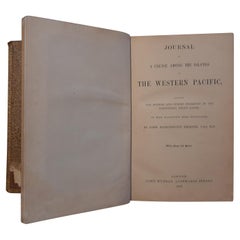
View AllNarrative of the Expedition of an American Squadron by M.C. Perry, '1857'
Located in Langweer, NL
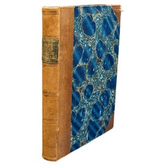
'Narrative of the expedition of an American squadron to the China Seas and Japan; performed in the years 1852, 1853, and 1854' by M.C. Perry. Complete narrative with tinted lithograp...
Category
Antique Mid-19th Century Books
Materials
Paper
$3,594 Sale Price
20% Off
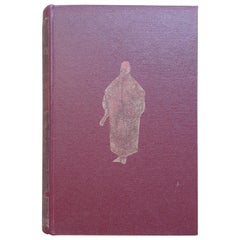
The Last Voyage, to India and Australia, in the Sunbeam by Annie Brassey, 1889
Located in Langweer, NL
'The Last Voyage, to India and Australia, in the Sunbeam' by the late Lady Brassey. Illustrated by R.T. Pritchett and from photographs. Published 1889. Hardboard cover in original bl...
Category
Antique Late 19th Century Books
Materials
Paper
Missionary to the New Hebrides, an Autobiography by John G. Paton, '1889'
Located in Langweer, NL
'Missionary to the New Hebrides, an Autobiography' by John G. Paton. Edited by his brother. ibid., 1889, frontisp. portrait, map, orig. cl.
Category
Antique Late 19th Century Books
Materials
Paper
Journal of a Cruise among the Islands of the Western Pacific '1853'
Located in Langweer, NL
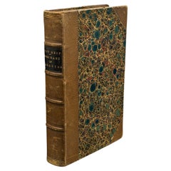
First edition 'Journal of a Cruise among the Islands of the Western Pacific' by John Elphinstone. 4 chromolithographed and 3 wood-engraved plates, fold...
Category
Antique Mid-19th Century Books
Materials
Paper
$383 Sale Price
20% Off
The King-Country; or, Explorations in New-Zealand by Kerry-Nicholls (1884)
Located in Langweer, NL
'The King-Country; or, Explorations in New-Zealand' by J.H. Kerry-Nicholls. Ibid., Sampson Low etc., 1884, XX,379,(1),36p., fold. col. lithogr. map, woodengr. plates, ills., modern c...
Category
Antique Late 19th Century Books
Materials
Paper
$191 Sale Price
20% Off
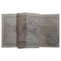
First Edition Guthrie's Geographical Grammmar in Miniature, 1807
Located in Langweer, NL
First edition of 'Guthrie's Geographical Grammar in Miniature'. 358 p. 13 fold. engr. maps, contemp. calf. Gilt spine. sm. 8vo. Upper hinge showing but strong; old bookplate "Ex Bibl...
Category
Antique Early 19th Century Books
Materials
Paper
$718 Sale Price
20% Off
You May Also Like
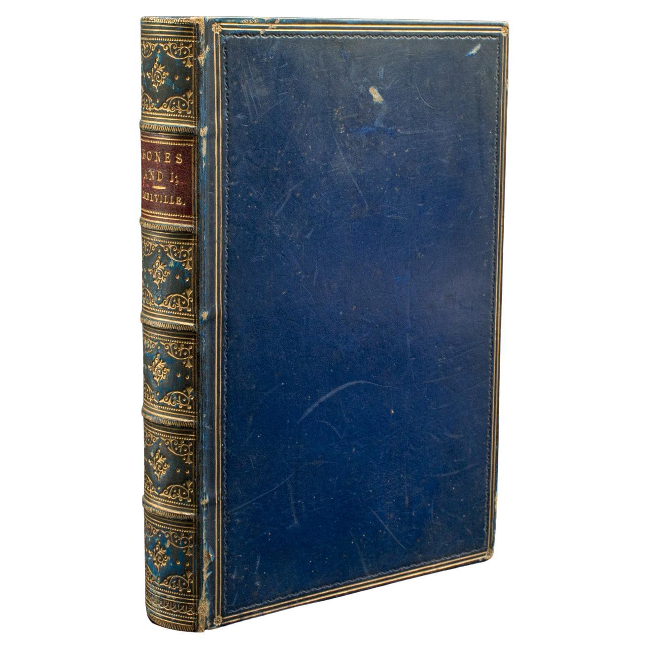
Antique Book, Bones and I, Whyte-Melville, English, Novel, Victorian, Circa 1880
Located in Hele, Devon, GB
This is an antique book, Bones & I by George Whyte-Melville. An English language, bound novel, dating to the late Victorian period, circa 1880.
First published in 1868, Bones & I is a humorous novel written about a man - Jack Raggles - who gains possession of a human skeleton. Written by George Whyte-Melville (1821 - 1878), the book is a comedic and macabre blend of satire and class division.
Nicely presented example of this unusual title
Displays a desirable aged patina, lightly time-worn but intact
Bound with cloth over board in navy blue with gold...
Category
Antique Late 19th Century British Late Victorian Books
Materials
Paper
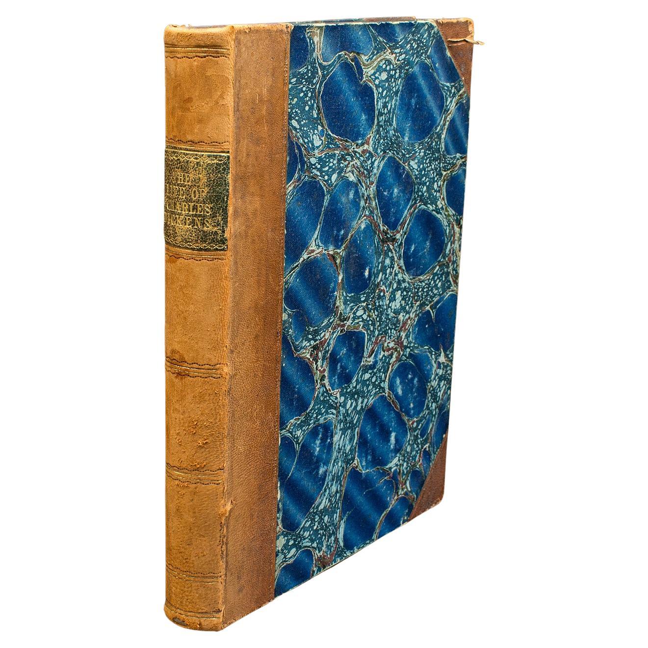
Antique Book, The Life of Charles Dickens, Biography, English, Victorian, C.1880
Located in Hele, Devon, GB
This is an antique copy of The Life of Charles Dickens by John Forster. An English language biographical account of the Victorian author, dating to the late 19th century, published c...
Category
Antique Late 19th Century British Victorian Books
Materials
Paper
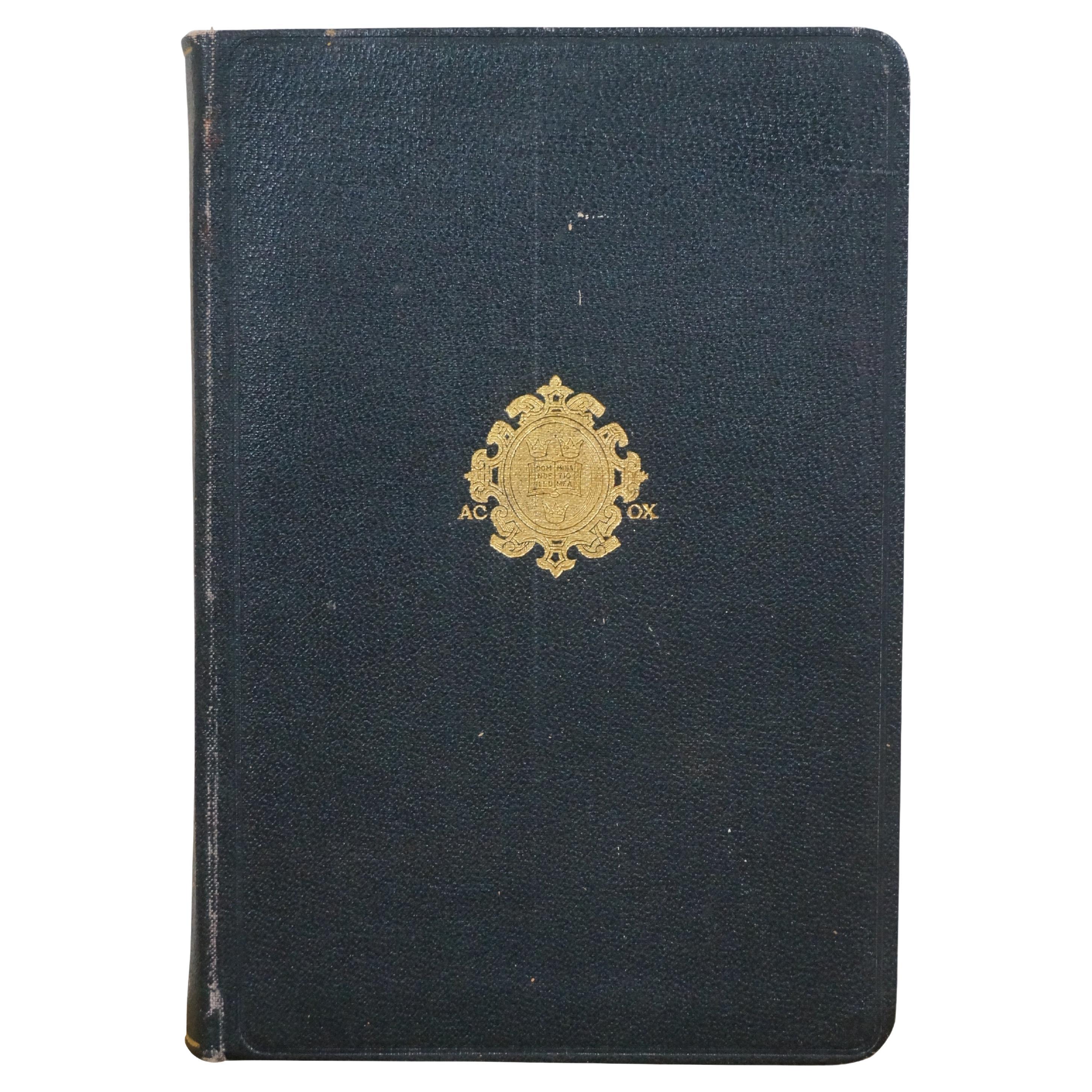
1927 Dictionary of Modern English Usage H.W. Fowler Oxford Antique Leather Book
Located in Dayton, OH
A Dictionary of Modern English Usage - by H.W. Fowler - Published by G.P. Putnam's Sons, 1927 - Printed in England at the Oxford university Press by John Johnson - Soft cover, black ...
Category
Vintage 1920s Books
Materials
Leather, Paper
$372 Sale Price
20% Off
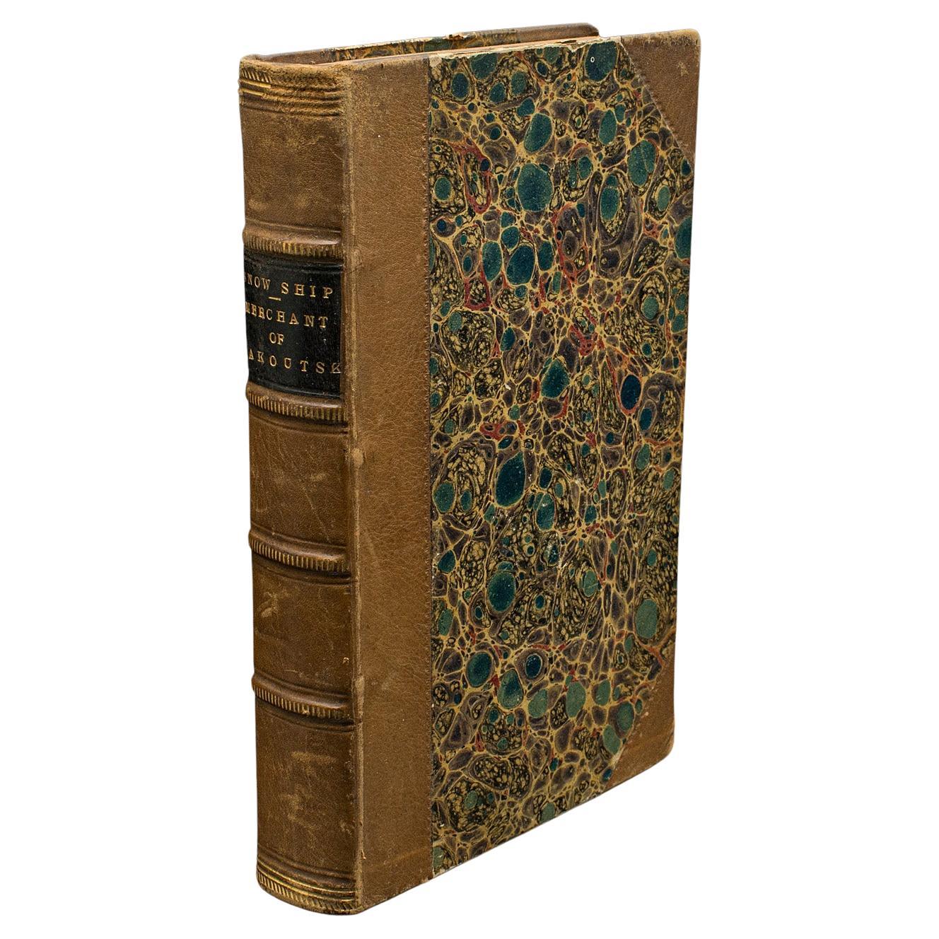
Antique Novel, The Snow Ship, Percy St John, English, Fiction, Victorian, C.1880
Located in Hele, Devon, GB
This is an antique novel The Snow Ship by Percy St. John. An English language fiction book with secondary title Merchant of Yakoutsk, dating to the Vict...
Category
Antique Late 19th Century British Victorian Books
Materials
Paper
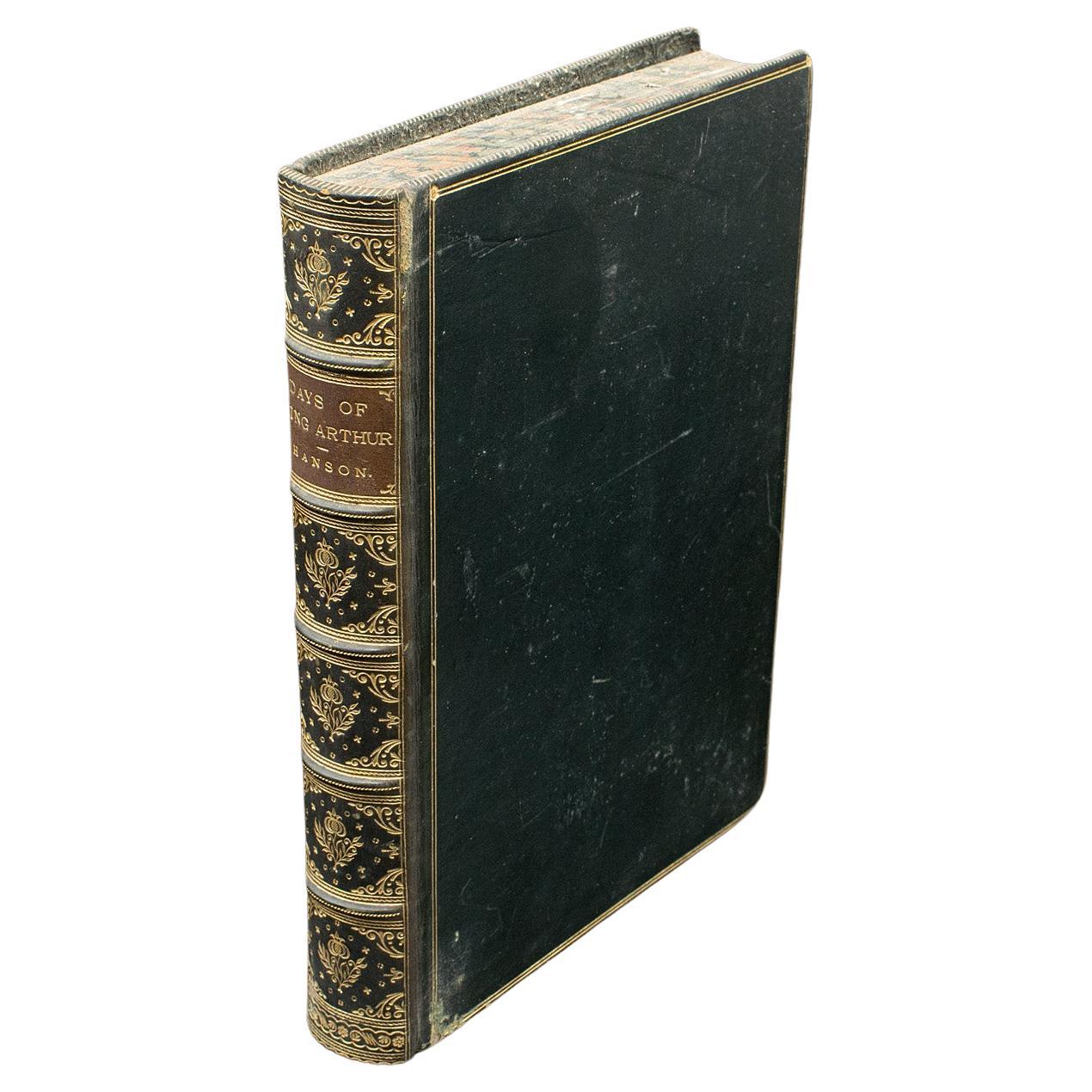
Antique Book, Days of King Arthur, Mythology, English, Fiction, Late Victorian
Located in Hele, Devon, GB
This is an antique mythology book, Days of King Arthur by Charles Henry Hanson. An English language, hard bound fictional work with illustrations by Gus...
Category
Antique Late 19th Century British Late Victorian Books
Materials
Paper
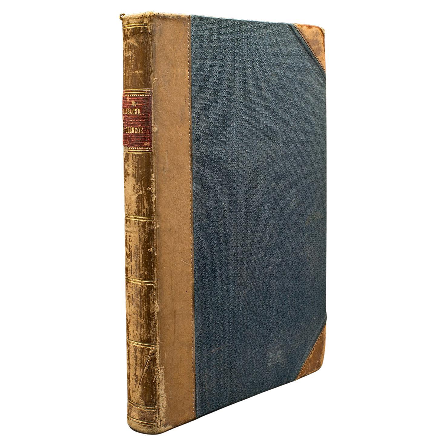
Antique Book, Massacre of Glencoe, G. Reynolds, English Novel, Victorian, C.1860
Located in Hele, Devon, GB
Our Stock # 24247
This is an antique book, Massacre of Glencoe by George W M Reynolds. An English language, bound novel, dating to the Victorian period, circa 1860.
A prolific writer, George William MacArthur Reynolds (1814 - 1879) released over 40 novels and numerous shorter stories. Almost forgotten compared to contemporaries Dickens and Thackeray, in his lifetime he was said to be the most read author of the day.
Pleasing example of this appealing illustrated edition
Displays a desirable aged patina, lightly time-worn and intact
Bound with cloth on board, with leather dressed spine and gold titling
Superb illustrations throughout by Edward Corbould (1815 - 1905)
Printed across 339+ pages by John Dicks on behalf of George Reynolds
Originally serialised between 1852 and 1853, this compendium first published in 1860
This is a fascinating antique novel...
Category
Antique Mid-19th Century British Victorian Books
Materials
Paper

More Ways To Browse
Crystal Palace Antique
Antique Nelson
Antique Map New York
Antique Bible Book
Plate 1865
Gilt Book Stand
Antique Maps Of New York City
Bible Stands
Antique Bible Stand
Bible Book Stand
Gilt Bible Stand
Antique Handwritten Letters
U S Grant Memoirs
Versace Coffee Table Book
Wasmuth Portfolio
William Bottomley
1950 Swiss Doll
Aa Milne