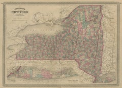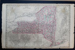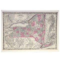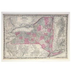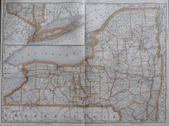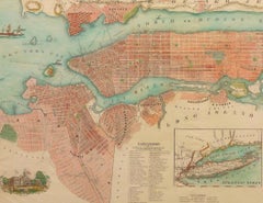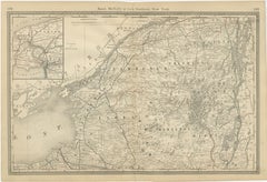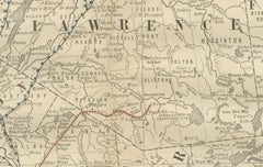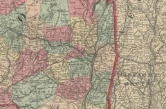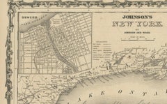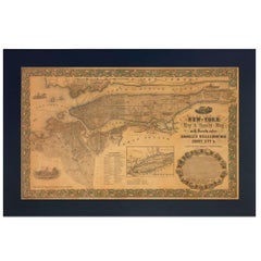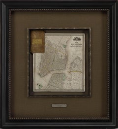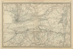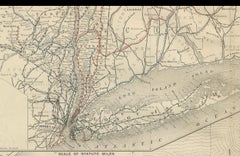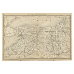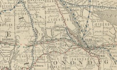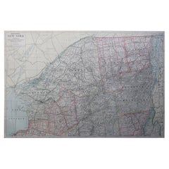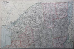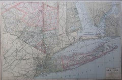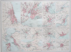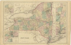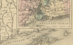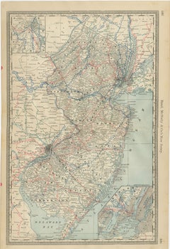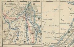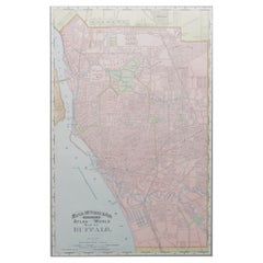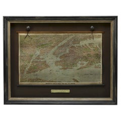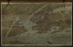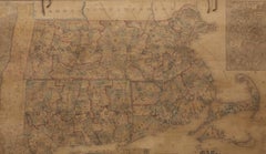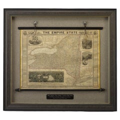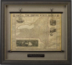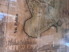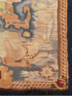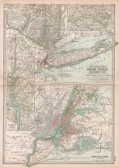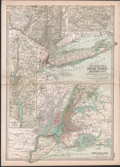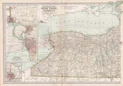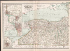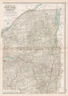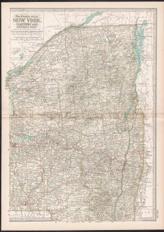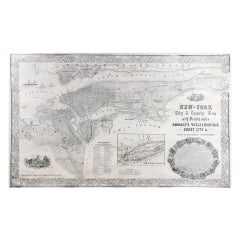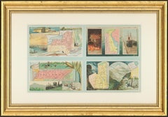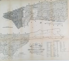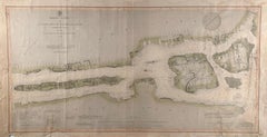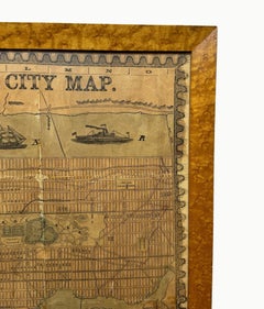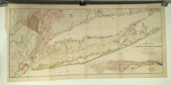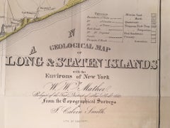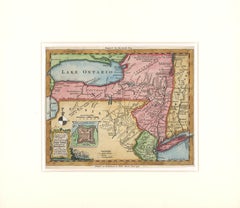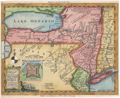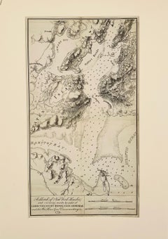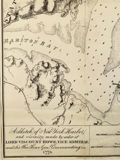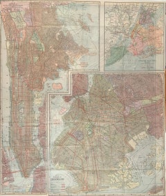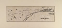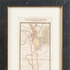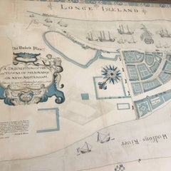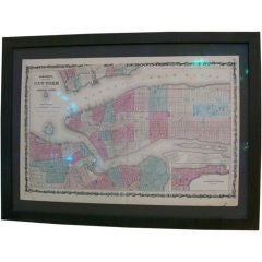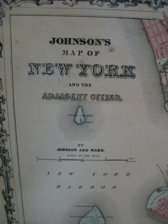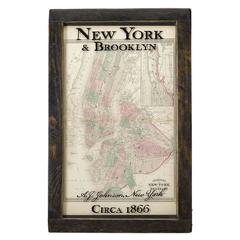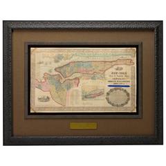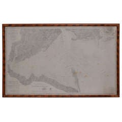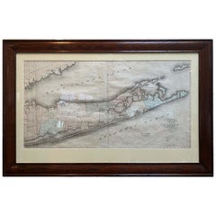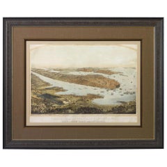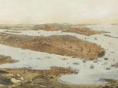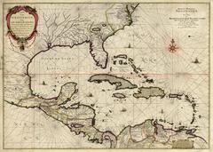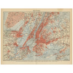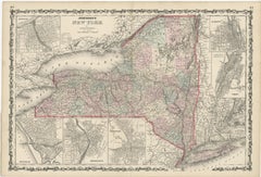
Large Antique Map of New York State with Inset Maps
$460Sale Price|20% Off
H 18.04 in W 26.58 in D 0.02 in
Large Antique Map of New York State with Inset Maps
Located in Langweer, NL
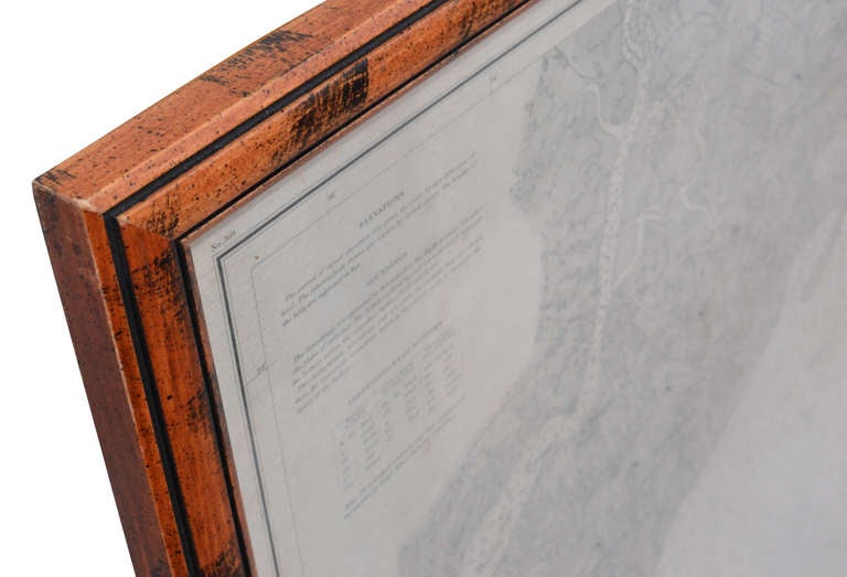
Antique map titled 'Johnson's New York' Large map of New York State.
Category
Mid-19th Century Antique Map New York
Materials
Paper