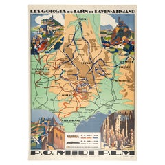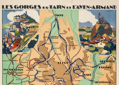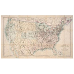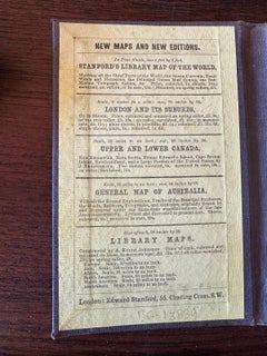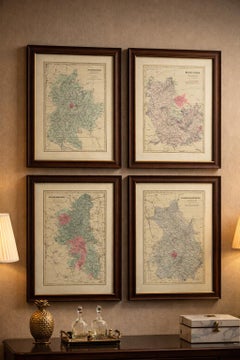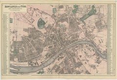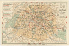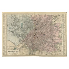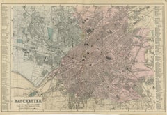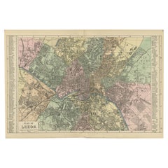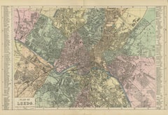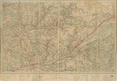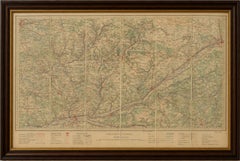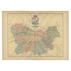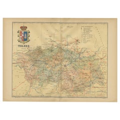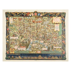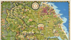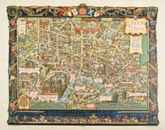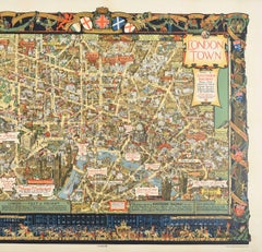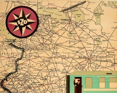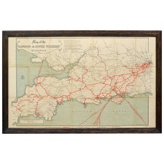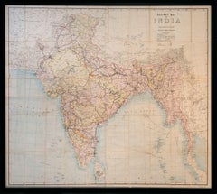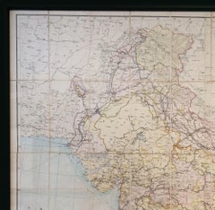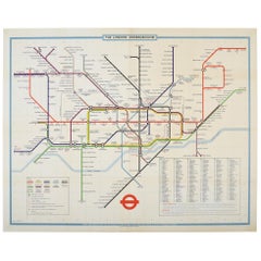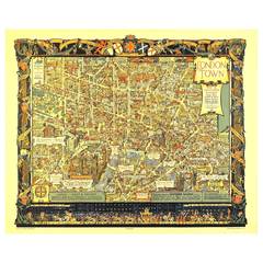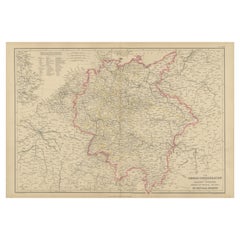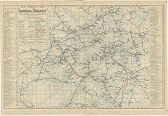

Decorative London Railway Map, Victorian Transport Plan of London & Suburbs 1885
Located in Langweer, NL
Decorative London Railway Map, Victorian Transport Plan of London & Suburbs, 1885 A fascinating and highly decorative Victorian railway map illustrating London and its rapidly expan...
Category
Antique Late 19th Century British Maps
Materials
Paper