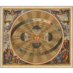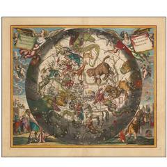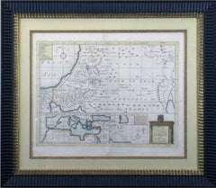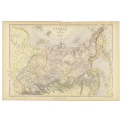
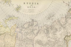
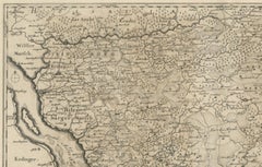
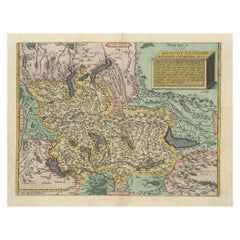
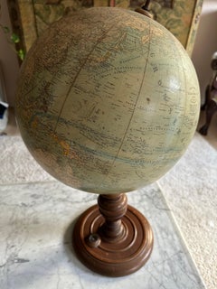
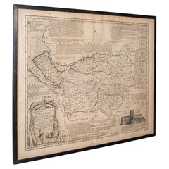
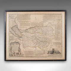
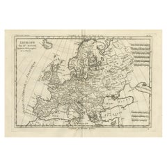
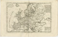
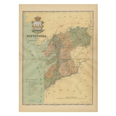
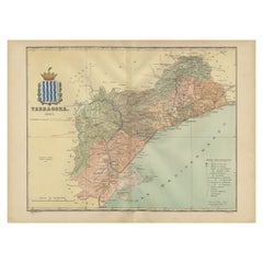
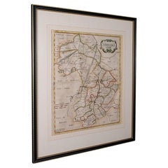
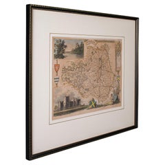
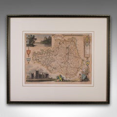
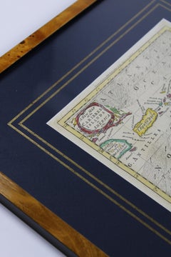
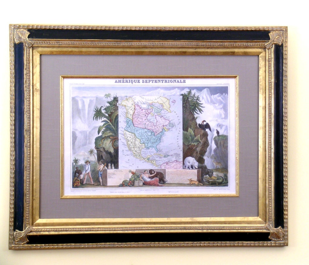
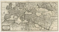
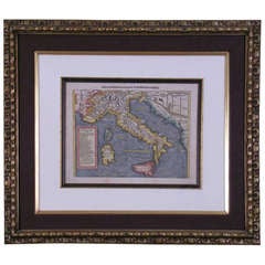
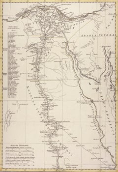
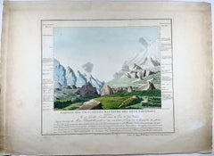
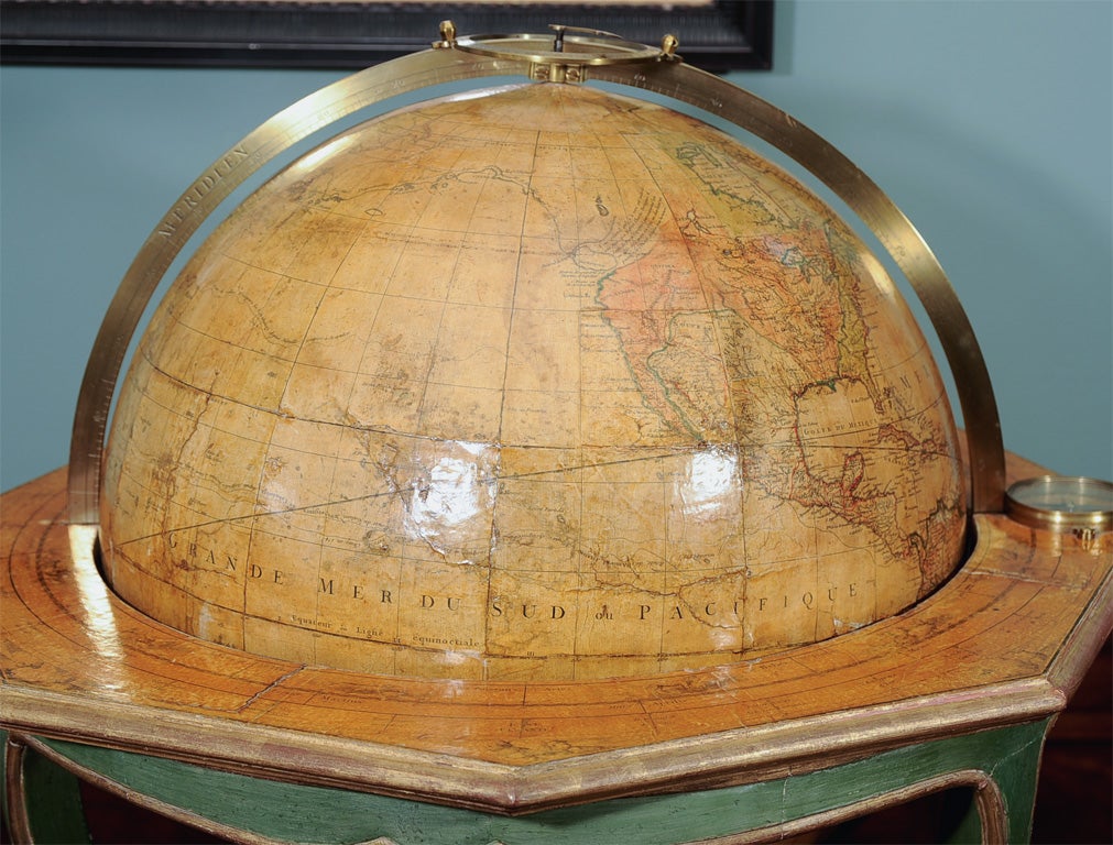
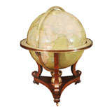
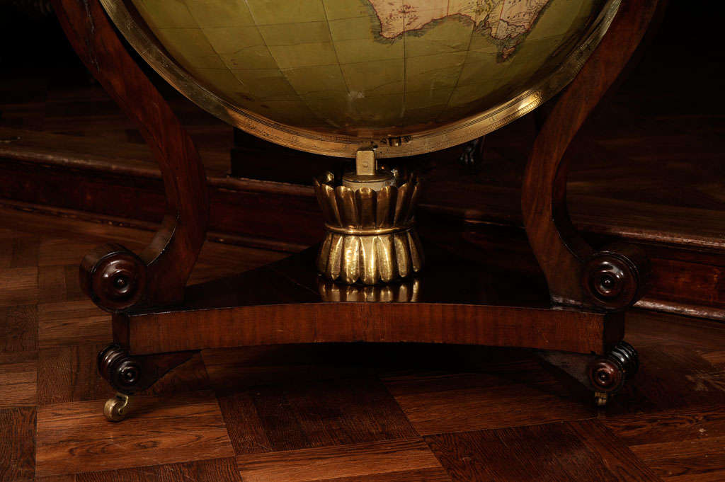
Detailed Antique Cartography of Asian Russia, 1882
Located in Langweer, NL
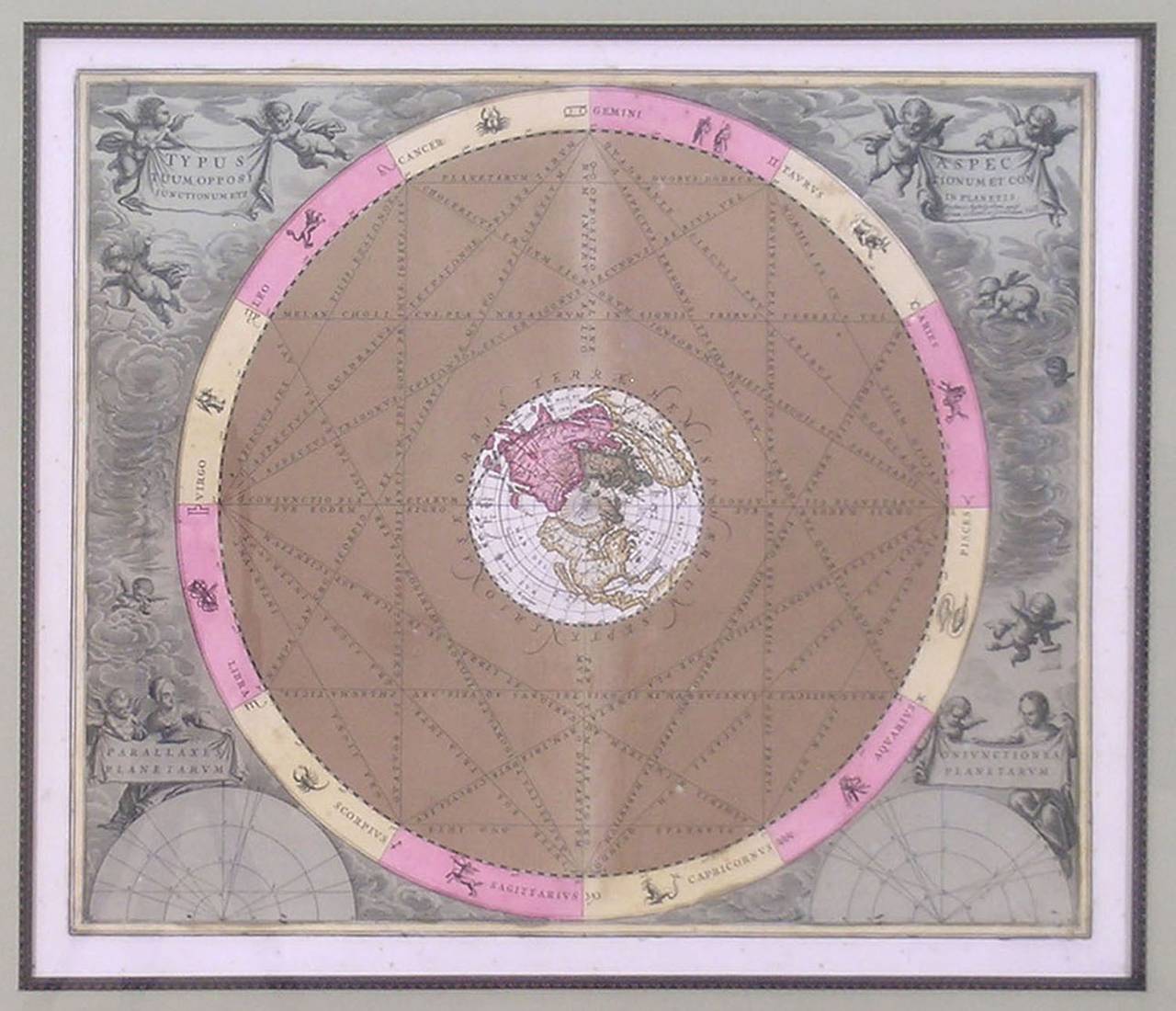
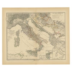
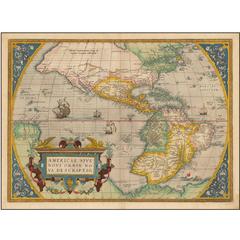
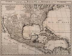
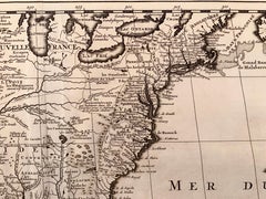
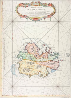
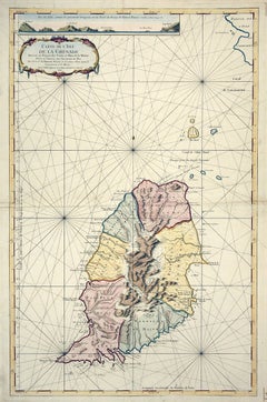
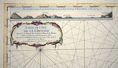
Latitude and longitude lines are drawn with precision, framing the cartographic masterpiece and aiding in navigation and study.
Category
1880s Antique Cartography
Materials
Paper


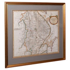


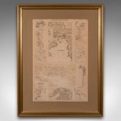


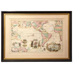


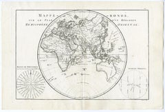
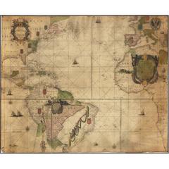
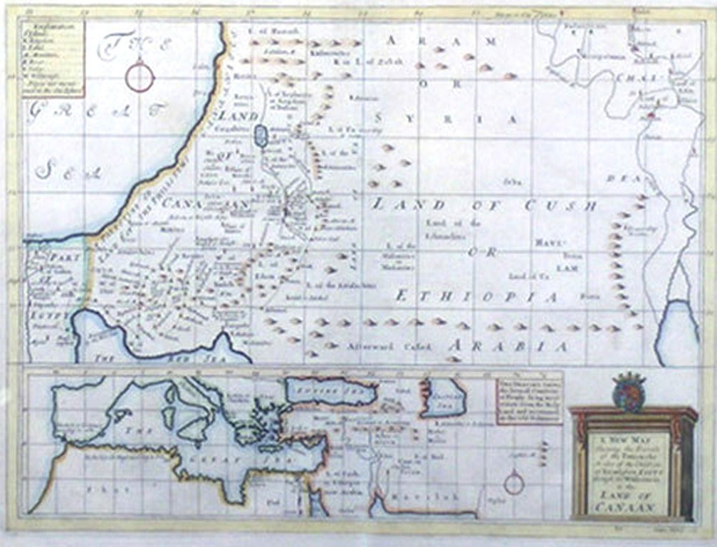
![Petit Neptune Anglois ou Carte Marine des Cotes d'Angleterre, [...].](https://a.1stdibscdn.com/archivesE/upload/a_5923/1508754384835/IMG_0099_2_master.jpg?width=240)
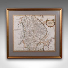
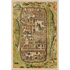
![Petit Neptune Anglois ou Carte Marine des Cotes d'Angleterre, [...].](https://a.1stdibscdn.com/archivesE/upload/a_5923/a_22394931508754389906/IMG_0100_a_master.jpg?width=240)