Items Similar to Antique Lithography Map, South America, English, Framed, Cartography, Victorian


Want more images or videos?
Request additional images or videos from the seller
1 of 13
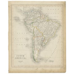
Antique Lithography Map, South America, English, Framed, Cartography, Victorian
About the Item
This is an antique lithography map of South America. An English, framed atlas engraving of cartographic interest by John Rapkin , dating to the early Victorian period and later, circa 1850.
John Rapkin was considered as one of the best map maker's of the mid 19th century, working in conjunction with John Tallis to engrave maps for the Illustrated Atlas and Modern History of the World (1845-51).
Quality lithography of South America and its constituent countries - ideal for display
Displaying a desirable aged patina and in very good order
Fascinating cartography, presented tastefully within quality, later frames
Major locations, coloured borders and associated islands annotate the map
Superb illustrations showcase local customs, places of interest and costumes
Dressed to the rear with hanging cord for ease of mounting
This is a quality antique lithography map of South America, with fine cartographic interest. Delivered ready to display.
Dimensions:
Max Width: 43.5cm (17.25'')
Max Depth: 2cm (.75'')
Max Height: 55.5cm (21.75'')
Map Size Width: 24.5cm (9.75'')
Map Size Height: 35.5cm (14'')
- Dimensions:Height: 21.86 in (55.5 cm)Width: 17.13 in (43.5 cm)Depth: 0.79 in (2 cm)
- Style:Early Victorian (Of the Period)
- Materials and Techniques:
- Place of Origin:
- Period:
- Date of Manufacture:circa 1850
- Condition:Wear consistent with age and use. Presented in very good antique condition.
- Seller Location:Hele, Devon, GB
- Reference Number:
About the Seller
5.0
Platinum Seller
These expertly vetted sellers are 1stDibs' most experienced sellers and are rated highest by our customers.
Established in 2005
1stDibs seller since 2017
833 sales on 1stDibs
Typical response time: 1 hour
- ShippingRetrieving quote...Ships From: Hele, Devon, United Kingdom
- Return PolicyA return for this item may be initiated within 14 days of delivery.
More From This SellerView All
- Antique Lithography Map, West Africa, English, Framed, Cartography, VictorianLocated in Hele, Devon, GBThis is an antique lithography map of Western Africa. An English, framed atlas engraving of cartographic interest by John Rapkin, dating to the early Victorian period and later, circ...Category
Antique Mid-19th Century British Early Victorian Maps
MaterialsWood
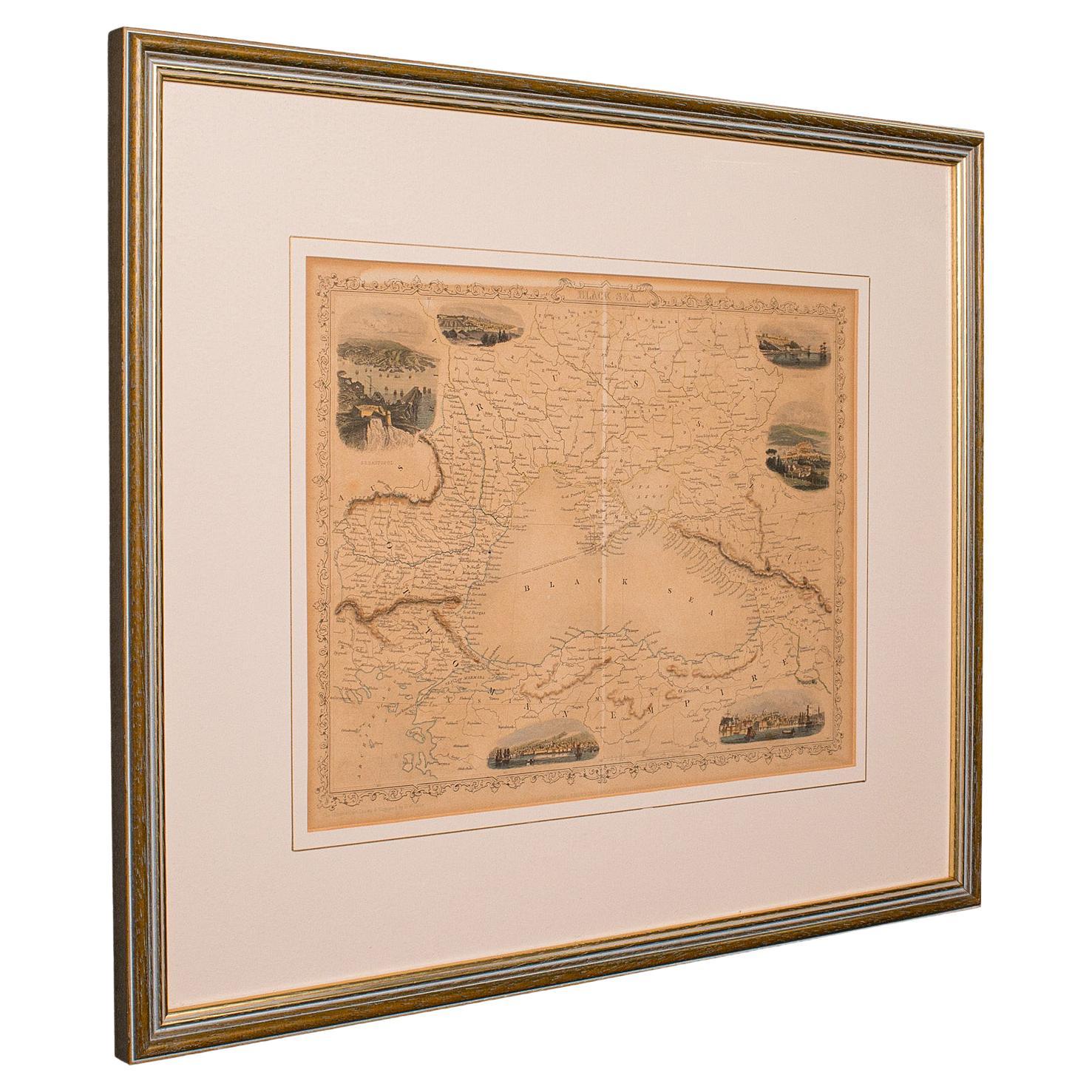
- Antique Lithography Map, Black Sea, English, Framed, Cartography, VictorianLocated in Hele, Devon, GBThis is an antique lithography map of the Black Sea region. An English, framed atlas engraving of cartographic interest by John Rapkin, dating to the early Victorian period and later...Category
Antique Mid-19th Century British Early Victorian Maps
MaterialsWood
- Antique Lithography Map, Western Russia, English, Framed, Cartography, VictorianLocated in Hele, Devon, GBThis is an antique lithography map of Western Russia. An English, framed atlas engraving of cartographic interest by John Rapkin, dating to the early Victorian period and later, circ...Category
Antique Mid-19th Century British Early Victorian Maps
MaterialsWood
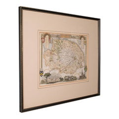
- Antique Lithography Map, Buckinghamshire, English, Framed Cartography, VictorianLocated in Hele, Devon, GBThis is an antique lithography map of Buckinghamshire. An English, framed atlas engraving of cartographic interest, dating to the mid 19th century and later. Superb lithography of B...Category
Antique Mid-19th Century British Victorian Maps
MaterialsWood, Paper
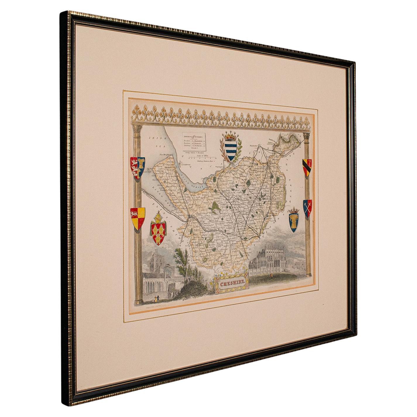
- Antique Lithography Map of Cheshire, English, Framed, Cartography, VictorianLocated in Hele, Devon, GBThis is an antique lithography map of Cheshire. An English, framed atlas engraving of cartographic interest, dating to the mid 19th century and lat...Category
Antique Mid-19th Century British Victorian Maps
MaterialsWood
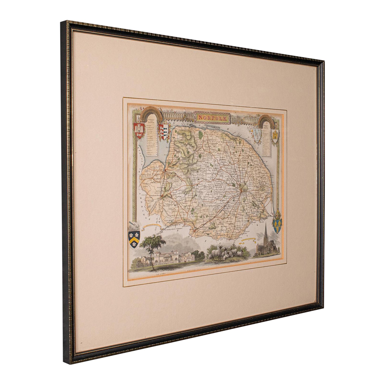
- Antique County Map, Norfolk, English, Framed Lithography, Cartography, VictorianLocated in Hele, Devon, GBThis is an antique lithography map of Norfolk. An English, framed atlas engraving of cartographic interest, dating to the mid 19th century and later. Superb lithography of Norfolk a...Category
Antique Mid-19th Century British Victorian Maps
MaterialsGlass, Wood


You May Also Like
- Antique Map of South America, c.1840Located in Langweer, NLAntique map titled 'South America'. Original, antique map depicting South America. With outline coloring. Source unknown, to be determined. Artists and Engravers: Anonymous. Artist:...Category
Antique 19th Century Maps
MaterialsPaper
- Scarce Antique Map of South AmericaLocated in Langweer, NLAntique map titled 'Carte de l'Amérique Méridionale'. Scarce map of South America, published in Paris in 1821. The map shows the continent in the ...Category
Antique Early 19th Century Maps
MaterialsPaper
- Original Antique Map of South America. C.1780Located in St Annes, LancashireGreat map of South America Copper-plate engraving Published C.1780 Two small worm holes to left side of map Unframed.Category
Antique Early 1800s English Georgian Maps
MaterialsPaper
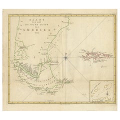
- Antique Map of South America by J. Cook, 1775Located in Langweer, NLAntique map titled 'Kaart van het Zuidlyk Eind van Amerika'. Map of the sourthern part of South America, focusing on Cook's tracks around the Cape Horn and T...Category
Antique Mid-18th Century Maps
MaterialsPaper
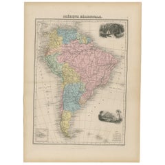
- Antique Map of South America by Migeon '1880'By J. MigeonLocated in Langweer, NLAntique map titled 'Amérique Méridionale'. Old map of South America. With an inset map of the Galapagos Islands and decorative vignettes. This map...Category
Antique Late 19th Century French Maps
MaterialsPaper
- Antique Map of South America by W. G. Blackie, 1859Located in Langweer, NLAntique map titled 'South America'. Original antique map of South America. This map originates from ‘The Imperial Atlas of Modern Geography’. Published by W. G. Blackie, 1859.Category
Antique Mid-19th Century Maps
MaterialsPaper


Recently Viewed
View AllMore Ways To Browse
Greek Map 1920
Marne Map
Antique Slovenia
Galicia Map
Antique Maps Sumatra
Santa Cruz Solomon Islands
Georg Barque
F V Hayden
Original Antique Map Of World
Map Zanzibar
Matthew Seutter On Sale
Minature Map
Vincenzo Coronelli On Sale
1681 Moses Pitt
Anguilla Map
Antique Cabbage Cutter
Antique Maps Denver
Antique Maps Washington Dc