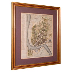
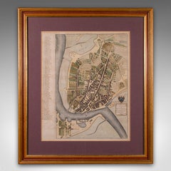
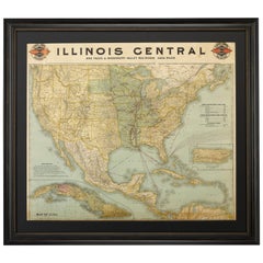
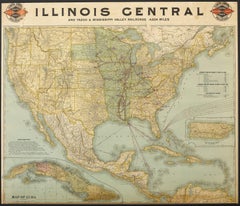
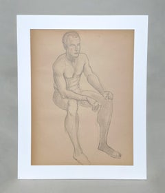
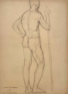
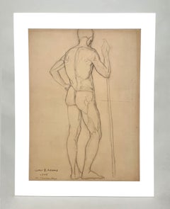
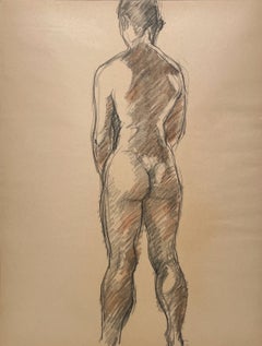
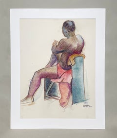
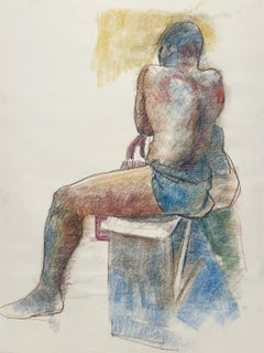
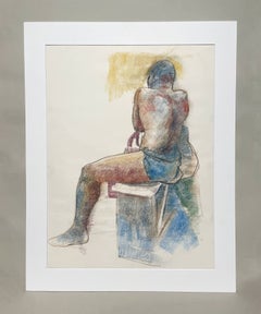
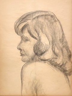
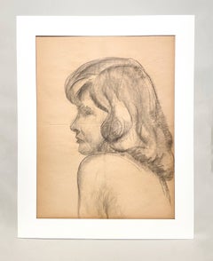
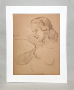
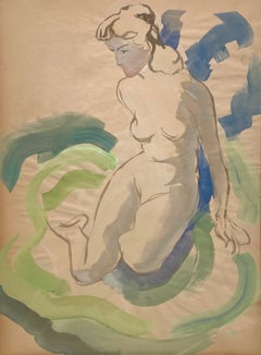
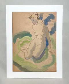
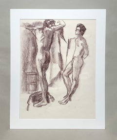
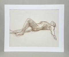
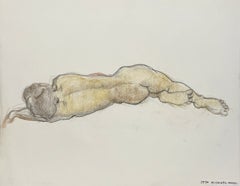
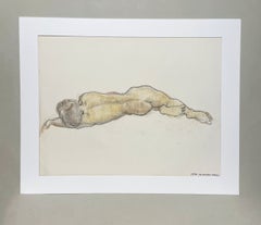
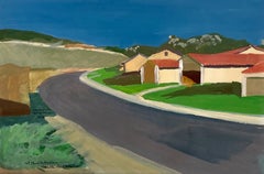
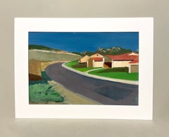
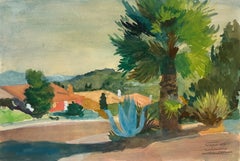
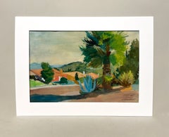
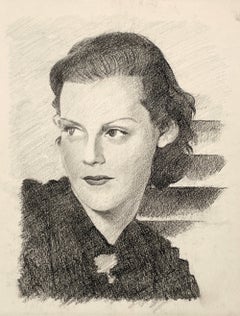
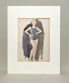
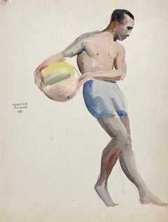
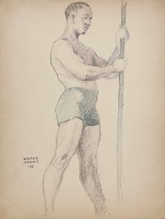
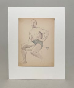
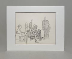
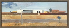
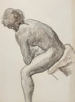
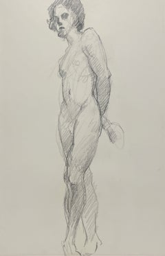
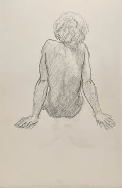
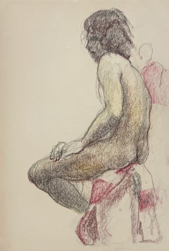
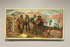
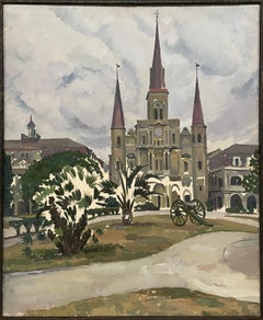
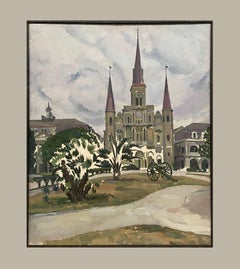
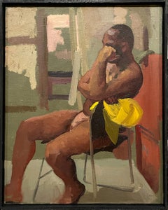
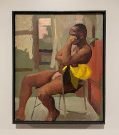
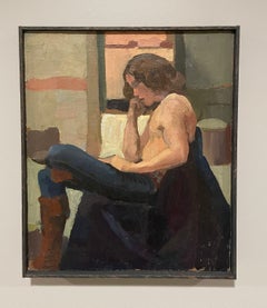
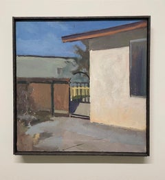
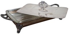
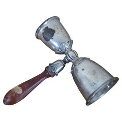
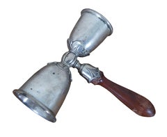
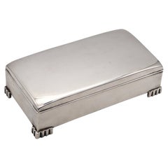
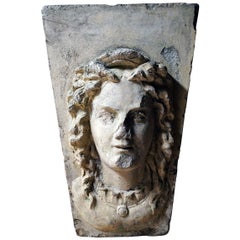
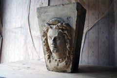
Surely you’ll find the exact george poole you’re seeking on 1stDibs — we’ve got a vast assortment for sale. Finding the perfect george poole may mean sifting through those created during different time periods — you can find an early version that dates to the 18th Century and a newer variation that were made as recently as the 20th Century. When looking for the right george poole for your space, you can search on 1stDibs by color — popular works were created in bold and neutral palettes with elements of
brown,
gray,
beige and
black. Finding an appealing george poole — no matter the origin — is easy, but
Walter Burt Adams each produced popular versions that are worth a look. Frequently made by artists working in
canvas,
fabric and
oil paint, these artworks are unique and have attracted attention over the years.
The price for an artwork of this kind can differ depending upon size, time period and other attributes — a george poole in our inventory may begin at $328 and can go as high as $7,950, while the average can fetch as much as $1,400.
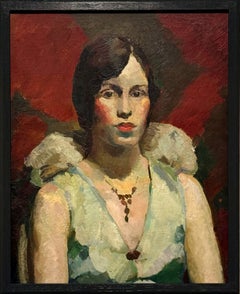
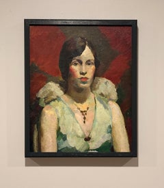
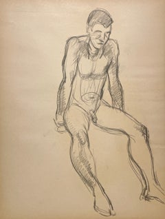
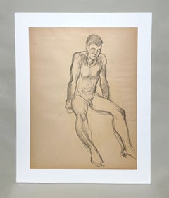
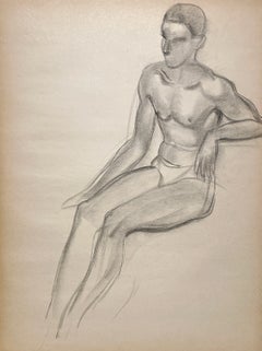
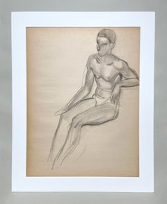
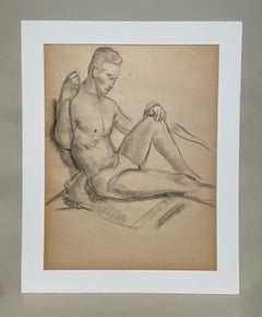
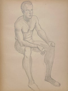
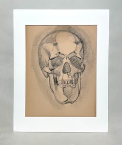
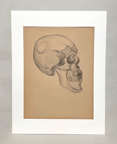
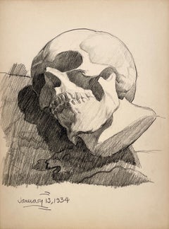
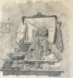
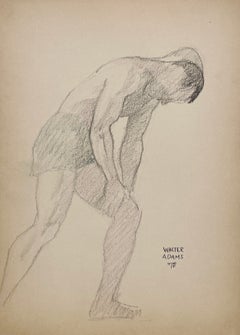
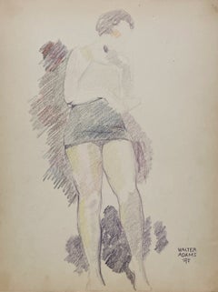
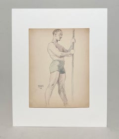
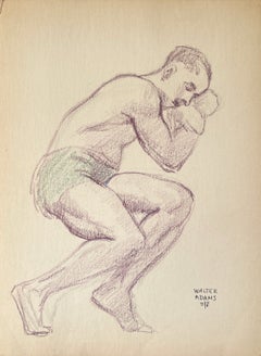
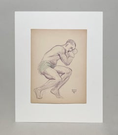
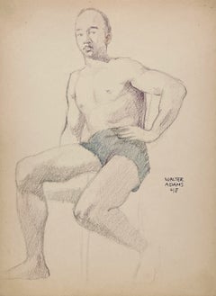
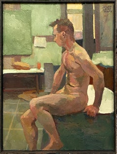
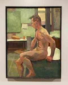
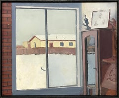
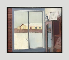
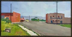
Walter Burt Adams was an American painter who was involved in the Chicago Modern Art community. He was born in Kenosha, Wisconsin, in 1903 and spent his childhood in Fargo, North Dakota. Then in 1922 he enrolled and attended the School of the Art Institute of Chicago. He attended it with artists such as George Oberteuffer, Frederick V. Poole, Charles Wilimovsky, Elmer G. Fosberg and William Owen, Jr. Paintings by Walter Burt Adams were exhibited at the Art Institute of Chicago 15 times between 1930–42. Adams’s work was also exhibited at The Pennsylvania Academy of the Fine Arts, the Evanston Women’s Club and the Evanston Public Library. Adams moved to Belen, New Mexico in 1977 and died there in 1990.