Items Similar to Antique Map of North America with Vignette of the Statue of Liberty, New York


Want more images or videos?
Request additional images or videos from the seller
1 of 6
Antique Map of North America with Vignette of the Statue of Liberty, New York
About the Item
Antique map titled 'Amérique du Nord'. Original antique map of North America. Meticulous information from the new Alaska Territory and through the Caribbean Windward Islands. Very good detail of the railroad system. Vignette of the port of New York featuring the newly erected Statue of Liberty.
Published by J. Migeon, circa 1875. J. Migeon was a late 19th century map publisher based in Paris, France.
- Dimensions:Height: 15.44 in (39.2 cm)Width: 20.4 in (51.8 cm)Depth: 0.02 in (0.5 mm)
- Materials and Techniques:
- Period:
- Date of Manufacture:circa 1875
- Condition:Wear consistent with age and use. Age-related toning, original folding line. Shows some war and soiling, blank verso. Please study images carefully.
- Seller Location:Langweer, NL
- Reference Number:
About the Seller
5.0
Platinum Seller
These expertly vetted sellers are 1stDibs' most experienced sellers and are rated highest by our customers.
Established in 2009
1stDibs seller since 2017
1,916 sales on 1stDibs
Typical response time: <1 hour
- ShippingRetrieving quote...Ships From: Langweer, Netherlands
- Return PolicyA return for this item may be initiated within 14 days of delivery.
More From This SellerView All
- Antique Map of North America, 1821Located in Langweer, NLAntique map of America titled 'Carte de l'Amerique septentrionale'. Scarce map of North America, shortly after the Louisiana Purchase and the first ...Category
Antique 19th Century Maps
MaterialsPaper
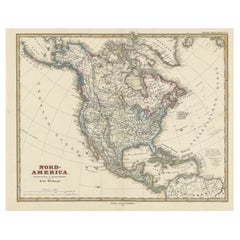
- Antique Map of North America Including the West IndiesLocated in Langweer, NLOriginal antique map titled 'Nord-America'. Old map of North America and the West Indies. Also showing British Overseas Territories and Hudson Bay. This map originates from Stiel...Category
Antique Mid-19th Century Maps
MaterialsPaper
- Antique Map of the United States of North America, c.1882Located in Langweer, NLAntique map titled 'United States of North America'. Old map of the United States of North America. This map originates from 'The Royal Atlas of Modern Geography, Exhibiting, in a Se...Category
Antique 1880s Maps
MaterialsPaper
- Antique Map of the United States with Vignette of WashingtonLocated in Langweer, NLAntique map titled 'États-Unis'. A very attractive and detailed late 19th century map of the United States, with a fine decorative vignette of Washington. The extensive railway netwo...Category
Antique Late 19th Century Maps
MaterialsPaper
- Antique Map with Hand Coloring of North America and the West IndiesLocated in Langweer, NLOriginal antique map titled 'Nord-America'. Old map of North America and the West Indies. This map originates from Stielers Handatlas, published circa 1879. Stielers Handatlas (a...Category
Antique Late 19th Century Maps
MaterialsPaper
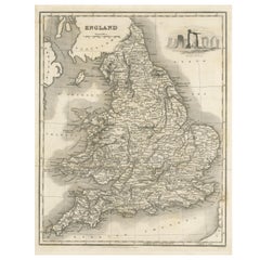
- Antique Map of England with Vignette of StonehengeLocated in Langweer, NLAntique map titled 'England'. Original antique map of England, with decorative vignette of stonehenge. Engraved by R. Scott. Published by Fulla...Category
Antique Mid-19th Century Maps
MaterialsPaper


You May Also Like
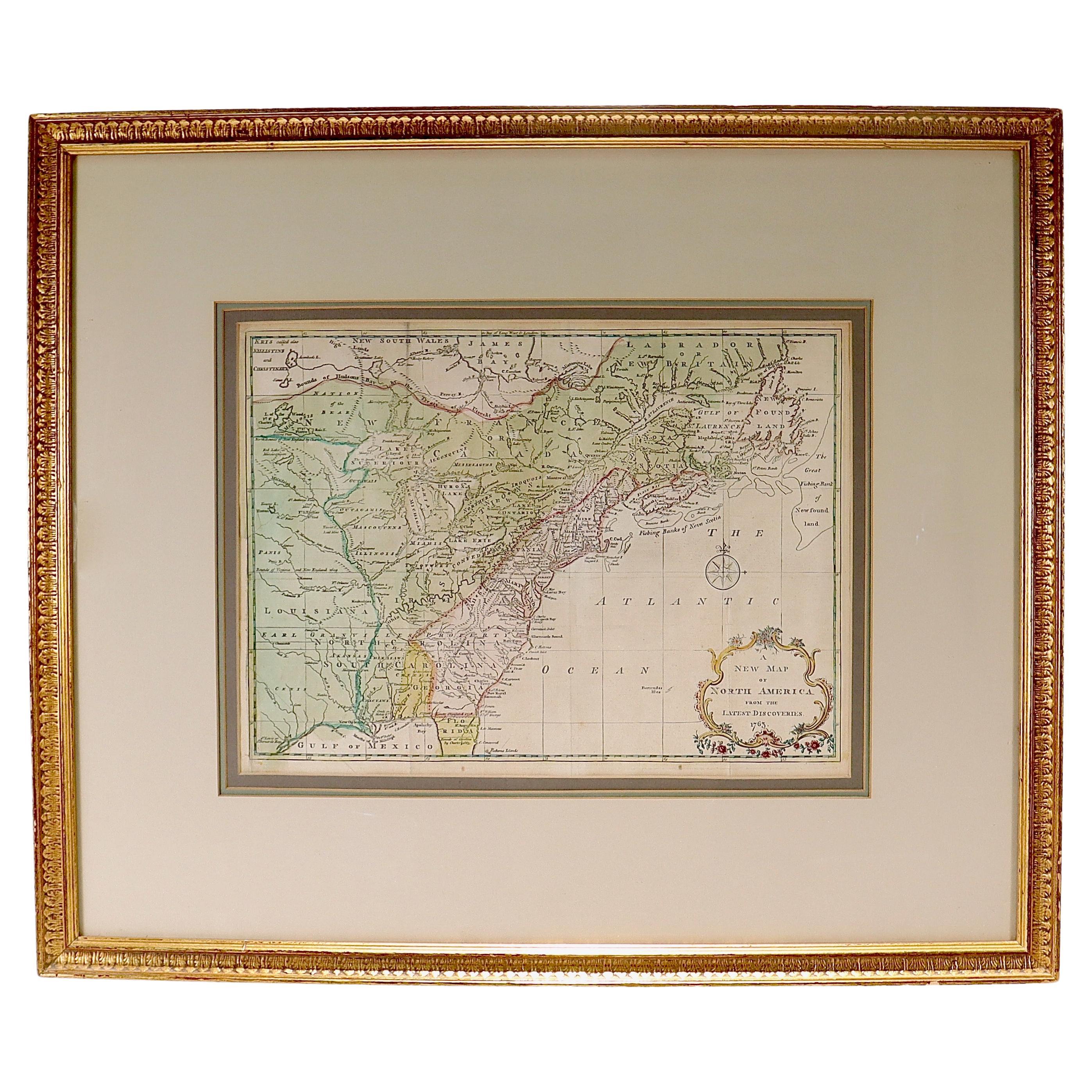
- New Map of North America from the Latest Discoveries, 1763Located in Philadelphia, PAA fine antique 18th century map of the North American seaboard. Entitled "A New Map of North America from the Latest Discoveries 1763". By the Cartographer/Engraver - John Spil...Category
Antique Mid-18th Century English Georgian Maps
MaterialsPaper
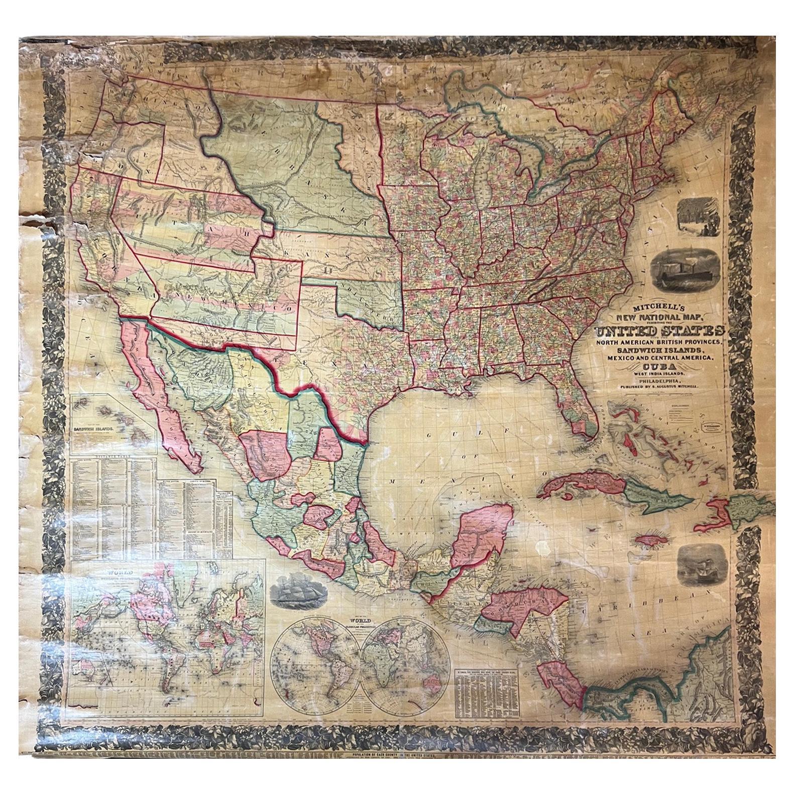
- Large Antique 1859 Map of North AmericaLocated in Sag Harbor, NYThis Map was made by Augustus Mitchell in 1859 It is in amazing condition for being 163 years old. This price is for the rolled up easy to ship version of this piece. I will be Frami...Category
Antique Mid-19th Century American Maps
MaterialsCanvas, Paper

- Antique Map of American Cities, Vignette of New York City, circa 1920Located in St Annes, LancashireGreat maps of American Cities Unframed Original color By John Bartholomew and Co. Edinburgh Geographical Institute Published, circa 1920Category
Vintage 1920s British Maps
MaterialsPaper
- Original Antique Map of South America. C.1780Located in St Annes, LancashireGreat map of South America Copper-plate engraving Published C.1780 Two small worm holes to left side of map Unframed.Category
Antique Early 1800s English Georgian Maps
MaterialsPaper
- Original Antique Map of South America, circa 1830Located in St Annes, LancashireGreat map of South America Copper plate engraving Published by Butterworth, Livesey & Co., circa 1830 Unframed.Category
Antique Early 1800s English Other Maps
MaterialsPaper
- Original Antique English County Map, North Yorkshire, J & C Walker, 1851Located in St Annes, LancashireGreat map of North Yorkshire Original colour By J & C Walker Published by Longman, Rees, Orme, Brown & Co. 1851 Unframed.Category
Antique 1850s English Other Maps
MaterialsPaper


Recently Viewed
View AllMore Ways To Browse
Used Furniture North York
Alaska Furniture
New York Statue Of Liberty
19th Caribbean
Alaska Antique
Caribbean Antique Furniture
Caribbean Antiques
Antique Island Caribbean
Antique Railroad Maps
Map Railroad
Migeon And Migeon
Migeon Migeon
Statue Of Liberty Antique
Antique Statue Of Liberty
Caribbean Antique Maps
Caribbean Map Antique
Antique Map Caribbean
Antique Maps Caribbean