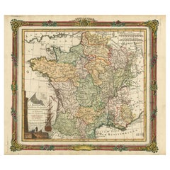
Items Similar to 17th Century Framed Map of Ancient France Titled "Typus Galliae Veteris"


Video Loading
Want more images or videos?
Request additional images or videos from the seller
1 of 10
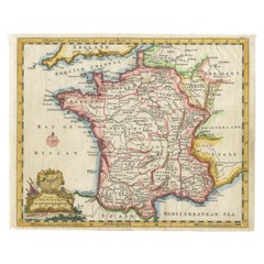
17th Century Framed Map of Ancient France Titled "Typus Galliae Veteris"
$2,800
£2,125.71
€2,431.36
CA$3,912.01
A$4,351
CHF 2,271.96
MX$52,947.10
NOK 29,016.39
SEK 27,212.25
DKK 18,146.18
Shipping
Retrieving quote...The 1stDibs Promise:
Authenticity Guarantee,
Money-Back Guarantee,
24-Hour Cancellation
About the Item
Decorate an office or a library with this elegant historic map. Crafted in the Netherlands circa 1630, this beautifully framed antique map with protective glass, titled "Typus Galliae Veteris", is a historical representation of Ancient Gaul (modern-day France) during the Roman era. Originally created by the renowned 16th-century cartographer Abraham Ortelius, this map was later published by Guillaume Blaeu, one of the most influential Dutch mapmakers of the 17th century. The map is a fine example of early cartographic artistry, featuring hand-colored regional divisions, intricate geographical details, and elaborate decorative elements. The map depicts the territorial divisions of Gaul as recognized by the Romans, including Aquitania, Lugdunensis, and Belgica, with major settlements and topographical elements such as rivers and mountain ranges carefully outlined. The ornate title cartouche, located in the lower-left corner, is designed in the elaborate Baroque style typical of Ortelius and Blaeu’s maps, adding an artistic flourish to this historical document. The wonderful cartography piece is in good condition commensurate with age and use. Some small tears in the paper and a center crease where it was once apart of a book (see detailed images).
Measures: 30.5"W x 27"H
- Dimensions:Height: 27 in (68.58 cm)Width: 30.5 in (77.47 cm)Depth: 2.25 in (5.72 cm)
- Style:Baroque (In the Style Of)
- Materials and Techniques:
- Place of Origin:
- Period:
- Date of Manufacture:1630
- Condition:Wear consistent with age and use.
- Seller Location:Dallas, TX
- Reference Number:Seller: 242-5821stDibs: LU951243631172
About the Seller
5.0
Platinum Seller
Premium sellers with a 4.7+ rating and 24-hour response times
Established in 1986
1stDibs seller since 2012
2,726 sales on 1stDibs
Typical response time: <1 hour
- ShippingRetrieving quote...Shipping from: Dallas, TX
- Return Policy
Authenticity Guarantee
In the unlikely event there’s an issue with an item’s authenticity, contact us within 1 year for a full refund. DetailsMoney-Back Guarantee
If your item is not as described, is damaged in transit, or does not arrive, contact us within 7 days for a full refund. Details24-Hour Cancellation
You have a 24-hour grace period in which to reconsider your purchase, with no questions asked.Vetted Professional Sellers
Our world-class sellers must adhere to strict standards for service and quality, maintaining the integrity of our listings.Price-Match Guarantee
If you find that a seller listed the same item for a lower price elsewhere, we’ll match it.Trusted Global Delivery
Our best-in-class carrier network provides specialized shipping options worldwide, including custom delivery.More From This Seller
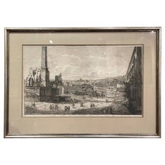
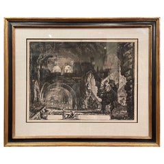
View All19th Century Italian Neo Classical Veduta Generale del Monte Quirinale Engraving
Located in Dallas, TX
Decorate an office or study with this antique black and white engraving. Hand colored in Italy circa 1760, the large monochromatic etching is set in a black and gilt frame with protective glass, and depicts the "Veduta Generale del Monte...
Category
Antique Early 19th Century Italian Neoclassical Prints
Materials
Paper
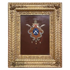
Early 19th Century French Hand Painted Crest on Metal in Carved Gilt Frame
Located in Dallas, TX
Decorate an office or study with this elegant antique wall decor. Crafted in France circa 1830, and set in the original carved gilt frame, the art w...
Category
Antique Early 19th Century French Empire Paintings
Materials
Sheet Metal
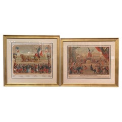
Set of Two Early 20th Century French Revolution Prints in Custom Frames
Located in Dallas, TX
Decorate a game room, a den or an office with these two large framed antique prints. Printed in France circa 1900, each colorful artwork is set in a carved gilt wood frame and protected with glass; each depicts the souvenir and triumph of the "Revolution Francaise...
Category
Early 20th Century French Prints
Materials
Giltwood, Paper
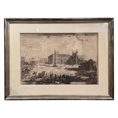
18th Century Italian Neo Classical Saint John Basilica Black and White Engraving
Located in Dallas, TX
Decorate an office or study with this antique black and white engraving. Hand colored in Italy circa 1775, the large monochromatic etching is...
Category
Antique Mid-18th Century Italian Neoclassical Drawings
Materials
Paper
18th Century Italian Neo Classical Villa of Maecenas Black and White Engraving
Located in Dallas, TX
Decorate an office or study with this antique black and white engraving. Hand colored in Italy circa 1770, the large monochromatic etching is...
Category
Antique Mid-18th Century Italian Neoclassical Drawings
Materials
Paper
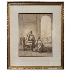
19th Century French Neoclassical "Grisaille" Painting on Paper in Giltwood Frame
Located in Dallas, TX
Decorate a wall with this elegant antique painting. Hand painted in France circa 1820, and set in a gilt wood frame protected with glass, the artwork features two classical women fi...
Category
Antique Early 19th Century French Neoclassical Drawings
Materials
Glass, Giltwood, Paper
You May Also Like
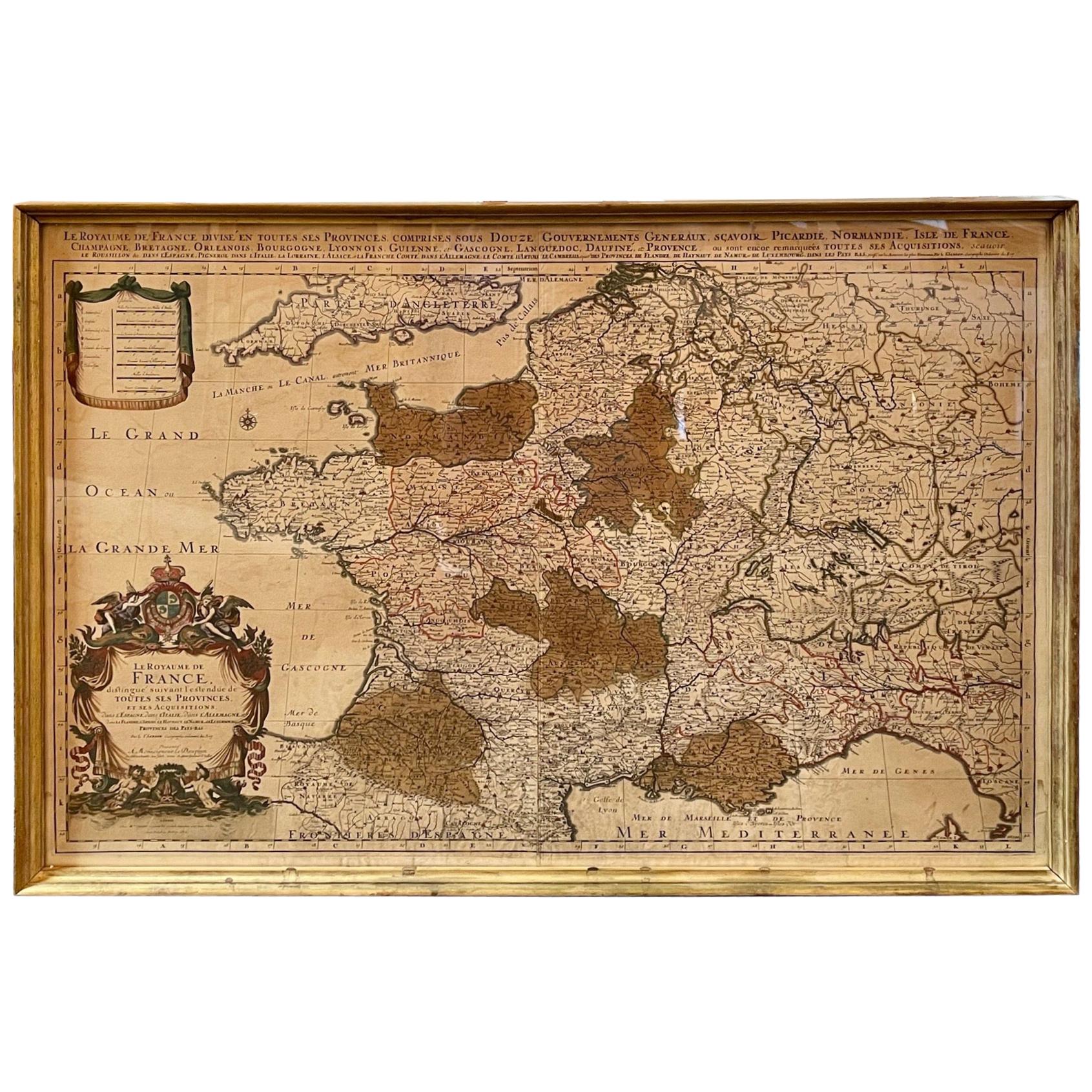
Antique Map of France
Located in Dallas, TX
Nice antique map of France in wood frame. This would make a great gift for a collector. A wonderful accessory!
Category
Early 20th Century Decorative Art
Materials
Glass, Wood, Paper

$1,760
Antique Map of France by Mortier 'c.1710'
Located in Langweer, NL
Antique map titled 'Gallia vetus ex C. Iulii Caesaris (..)'. Original antique map of France. Published by P. Mortier, c.1710.
Category
Antique Early 18th Century Maps
Materials
Paper

$958 Sale Price
20% Off
Antique Map of the Region of Île-de-France by Hondius, circa 1630
Located in Langweer, NL
Antique map titled Gouvernement de l'Isle de France'. Old map of the region of Île-de-France, France. It is located in the north-central part of the country and often called the régi...
Category
Antique Mid-17th Century Maps
Materials
Paper

$527 Sale Price
20% Off
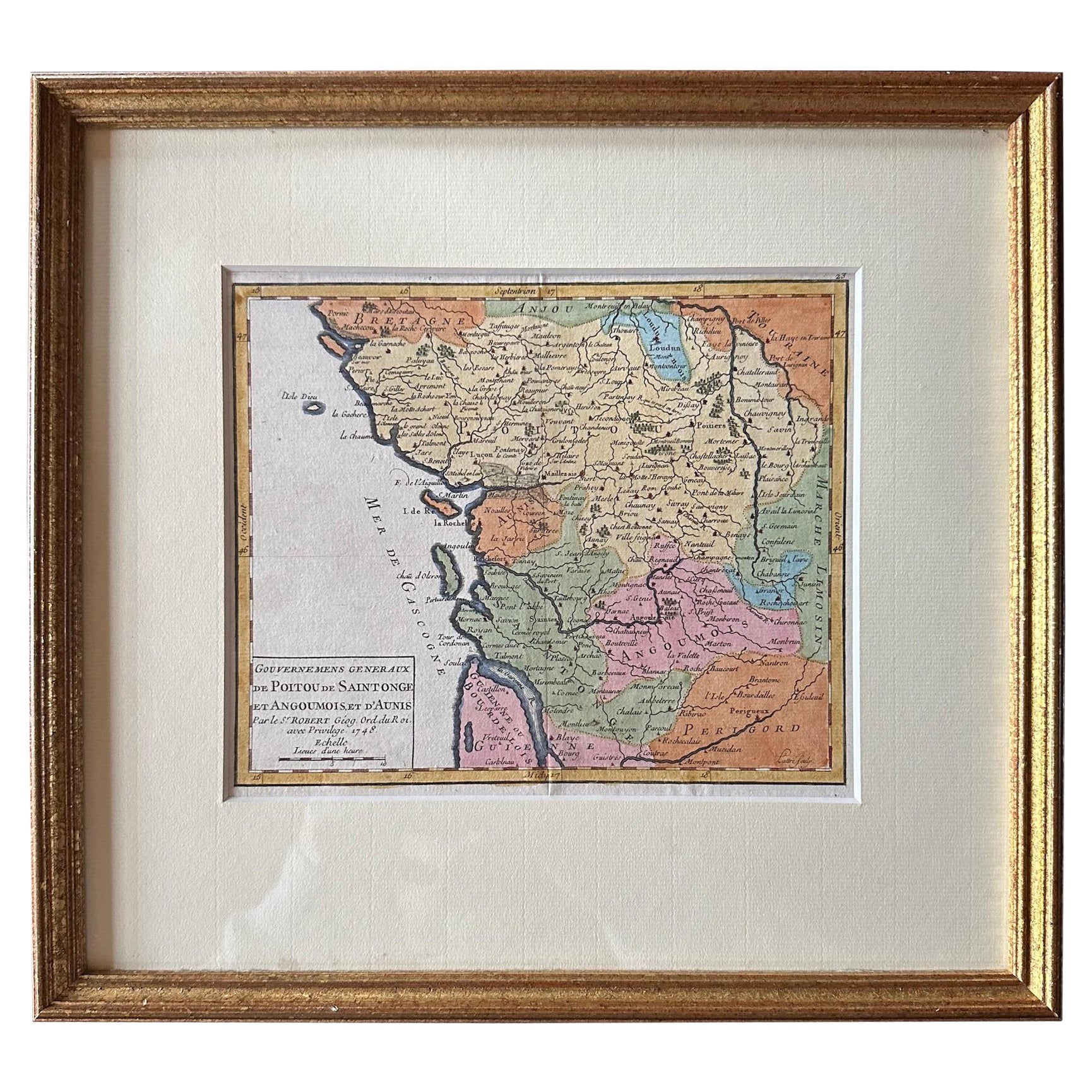
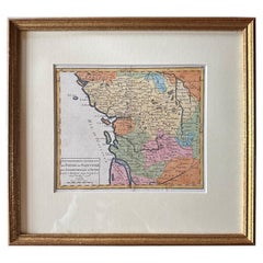
Original Antique Map of West Central France in Frame, 1748
Located in Langweer, NL
A nicely framed and hand-coloured decorative map titled "Gouvernemens Generaux De Poitou et De Saintonge" and engraved by M. Robert. This historical international map includes several specific locations, such as the Isle Dieu, Bretagne, Anjou, Touraine, Angoumois, Perigold, Saintonge, Mer de Gascogne (Bay of Biscay), Poitou, Aunis, Guienne, la Garonne Riviere (Garonne River), and Loudunois, as well as the Tour de Cordouan (Cordouan Lighthouse).
Featured towns on this map include Tonnay, Talmont, Loudun, Mortemer, Poitiers, Chalais, Riberac, Angoule, Marton, Blaye, and Monbrun.
This antique map represents the west-central region of France.
The theme of the atlas from which this map originates is the "Atlas Portatif Universel Et Militaire" by M. Robert. The source description indicates that this atlas is a portable, universal, and military collection...
Category
Antique 1740s Maps
Materials
Paper
$277 Sale Price
20% Off
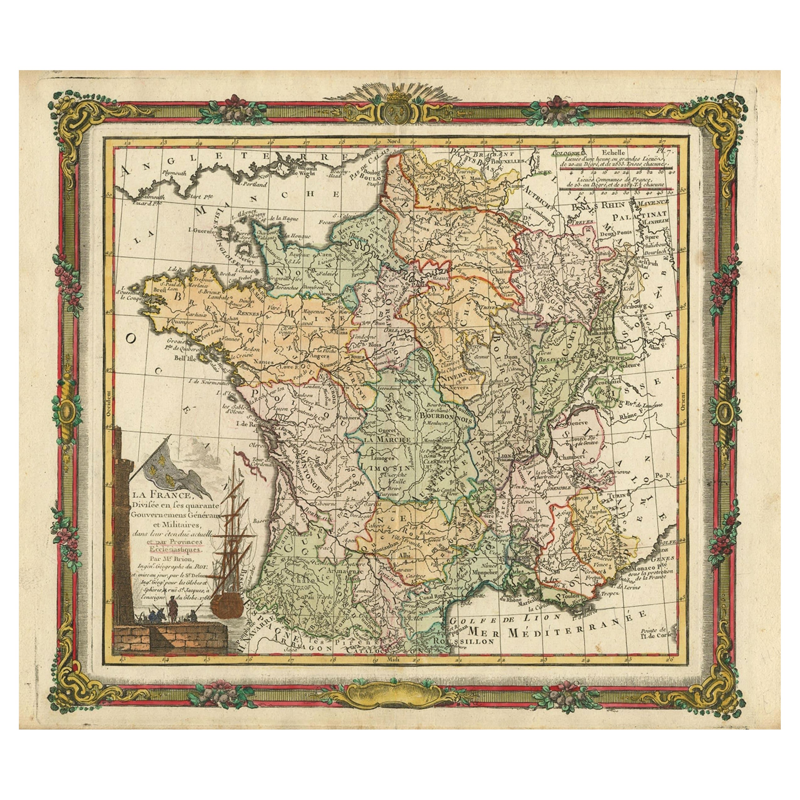
Antique Map of France with Decorative Border, 1766
Located in Langweer, NL
Antique map titled 'La France, divisée en ses quarante Gouvernemens Généraux.' Attractive map of France by Brion de la Tour, published by Desnos. The decorative border was printed fr...
Category
Antique 18th Century Maps
Materials
Paper
$412 Sale Price
20% Off
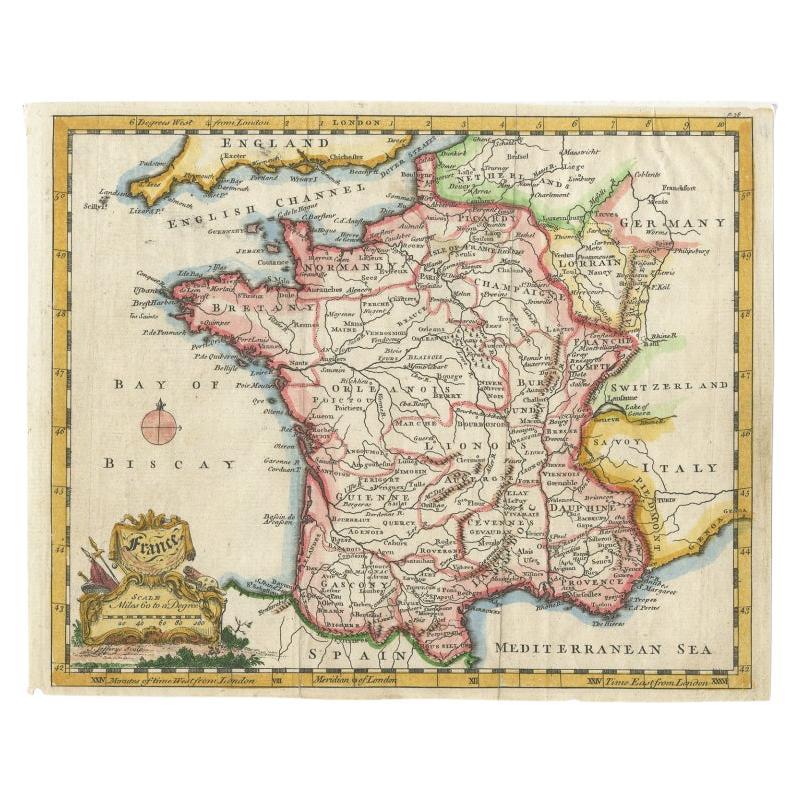
Antique Map of France with a Nice Cartouche of a Distance Scale, c.1756
Located in Langweer, NL
Antique map titled 'France'. Engraved map of France with a small, decorative title cartouche and distance scale. Originates from 'A New Geographical and Historical Grammar (..)', by ...
Category
Antique 18th Century Maps
Materials
Paper
$263 Sale Price
20% Off
More Ways To Browse
Framing Antique Documents
Historical Documents
Baroque Cartouche
Post Modern High Chairs
Vintage Vine Rug
Silver Metal Chair
Swedish Kilim
Vintage Scandanavian Chairs
Vintage Tropical Furniture
19th Century Red Glass
Antique French Console Table Tables
French 50s
Rusted Metal Art
Silver Bowl Large
Antique French Silk
Down Couch
Cobalt Blue Glass
Used Lighter Art