Items Similar to Antique Map of Africa, Cartouche with Elephant Tusks and Horned Serpent, 1737


Want more images or videos?
Request additional images or videos from the seller
1 of 6
Antique Map of Africa, Cartouche with Elephant Tusks and Horned Serpent, 1737
$940.16
$1,175.2020% Off
£699.38
£874.2320% Off
€784
€98020% Off
CA$1,287.40
CA$1,609.2420% Off
A$1,431.41
A$1,789.2620% Off
CHF 747.40
CHF 934.2520% Off
MX$17,423.73
MX$21,779.6620% Off
NOK 9,536.53
NOK 11,920.6620% Off
SEK 8,935.27
SEK 11,169.0920% Off
DKK 5,968.16
DKK 7,460.2020% Off
Shipping
Retrieving quote...The 1stDibs Promise:
Authenticity Guarantee,
Money-Back Guarantee,
24-Hour Cancellation
About the Item
Antique map of Africa titled 'Africa Secundum Legitimas Projectionis Stereographicae regulas (..)'.
Johann Matthias Haas' revision of J.B. Homann's 1715 map of Africa, augmented to include important cartographic developments as recorded by Guillaume Delisle and D'Anville. The map presents a fairly accurate picture without most of the fictitious lakes and rivers of previous cartography, focusing on the known coastal regions of the continent, leaving the interior blank or marked Terra Incognito. Egypt, Nubia and Abyssinia are shown as distinct entities, Lake Nyasa is shown as Lac Marawi, and the Congo is located. The Dutch settlements of Castell Batov and Stellenbosch are shown at the Cape. The most striking feature of the map is the large title cartouche that is framed by elephant tusks and a horned serpent. In the foreground is a scene of natives negotiating with European traders, surrounded by indigenous animals. In the background is a view of Table Bay and Table Mountain.
Artists and Engravers: Johann Matthias (Matyhias) Hase (Haas, Haase) (Latinized as Johannes Hasius) (14 January 1684 – 24 September 1742) was a German mathematician, astronomer, and cartographer.
Condition: Fair, few repairs mainly on folding line and margins. Mounted legend below map. Some soiling and a stain in the upper right corner, please study image carefully.
Date: 1737
Overall size: 63 x 54 cm.
Image size: 56 x 47 cm.
We sell original antique maps to collectors, historians, educators and interior decorators all over the world. Our collection includes a wide range of authentic antique maps from the 16th to the 20th centuries. Buying and collecting antique maps is a tradition that goes back hundreds of years. Antique maps have proved a richly rewarding investment over the past decade, thanks to a growing appreciation of their unique historical appeal. Today the decorative qualities of antique maps are widely recognized by interior designers who appreciate their beauty and design flexibility. Depending on the individual map, presentation, and context, a rare or antique map can be modern, traditional, abstract, figurative, serious or whimsical. We offer a wide range of authentic antique maps for any budget.
- Dimensions:Height: 21.26 in (54 cm)Width: 24.81 in (63 cm)Depth: 0 in (0.01 mm)
- Materials and Techniques:
- Period:
- Date of Manufacture:1737
- Condition:
- Seller Location:Langweer, NL
- Reference Number:Seller: BG-121791stDibs: LU3054326237672
About the Seller
5.0
Recognized Seller
These prestigious sellers are industry leaders and represent the highest echelon for item quality and design.
Platinum Seller
Premium sellers with a 4.7+ rating and 24-hour response times
Established in 2009
1stDibs seller since 2017
2,510 sales on 1stDibs
Typical response time: <1 hour
- ShippingRetrieving quote...Shipping from: Langweer, Netherlands
- Return Policy
Authenticity Guarantee
In the unlikely event there’s an issue with an item’s authenticity, contact us within 1 year for a full refund. DetailsMoney-Back Guarantee
If your item is not as described, is damaged in transit, or does not arrive, contact us within 7 days for a full refund. Details24-Hour Cancellation
You have a 24-hour grace period in which to reconsider your purchase, with no questions asked.Vetted Professional Sellers
Our world-class sellers must adhere to strict standards for service and quality, maintaining the integrity of our listings.Price-Match Guarantee
If you find that a seller listed the same item for a lower price elsewhere, we’ll match it.Trusted Global Delivery
Our best-in-class carrier network provides specialized shipping options worldwide, including custom delivery.More From This Seller
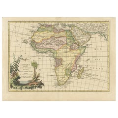
View AllAntique Map of Africa with French Cartouche and Scale, c.1780
Located in Langweer, NL
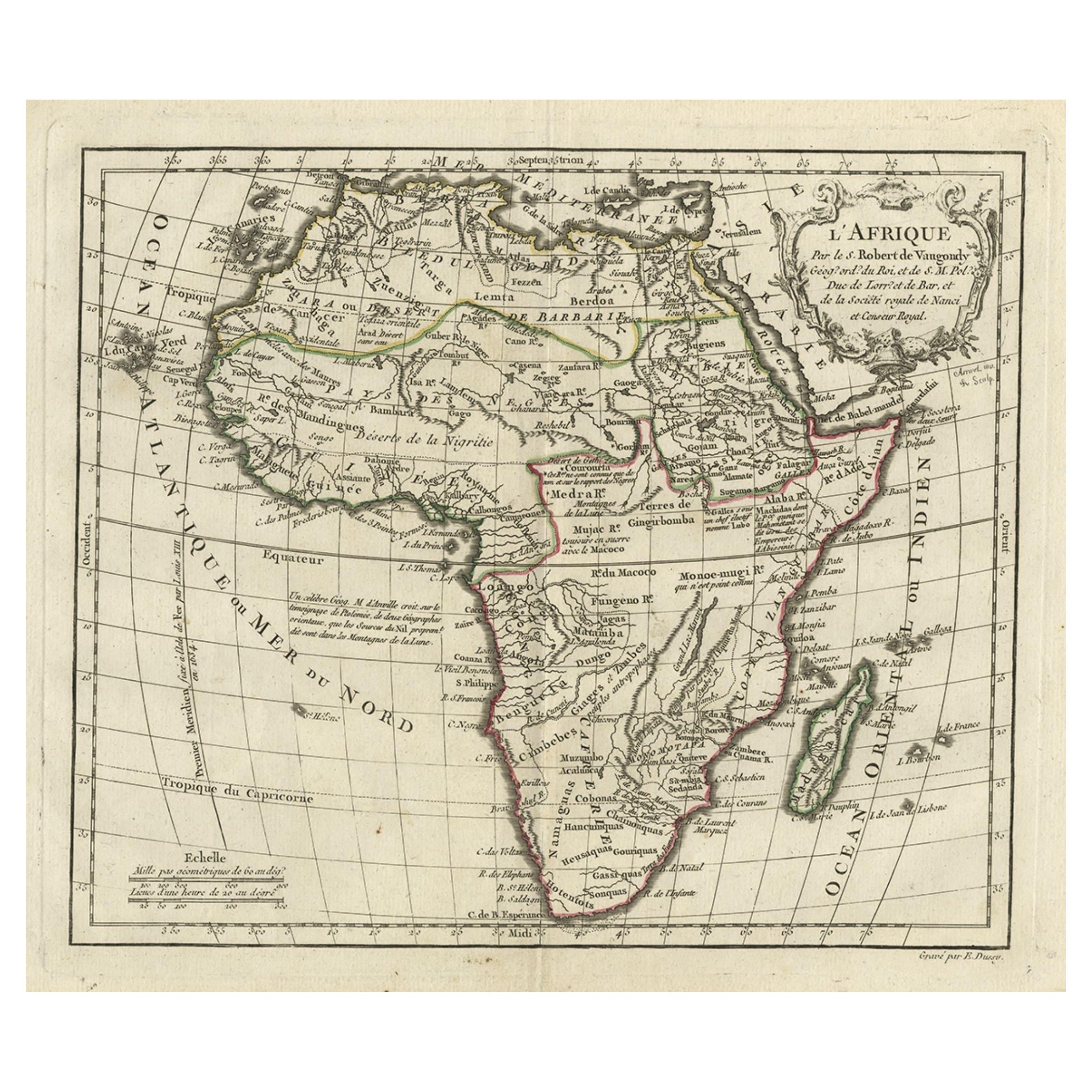
Antique map titled 'L'Afrique'. Original antique map of Africa. With beautiful title cartouche and scale. Source unknown, to be determined.
Artists and Engravers: Gilles Robert de...
Category
Antique 18th Century Maps
Materials
Paper
$335 Sale Price
20% Off
Original Antique Map of Africa with large decorative cartouche
Located in Langweer, NL
Original antique map titled 'L'Afrique divisée en ses principaux États'. Attractive and precise map of Africa, with large decorative cartouche. Engraved by Janvier. Published by Dela...
Category
Antique Late 18th Century Maps
Materials
Paper
$949 Sale Price
20% Off
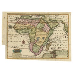
Antique Map of Africa with a Decorative Dedication to the Dauphin, 1717
Located in Langweer, NL
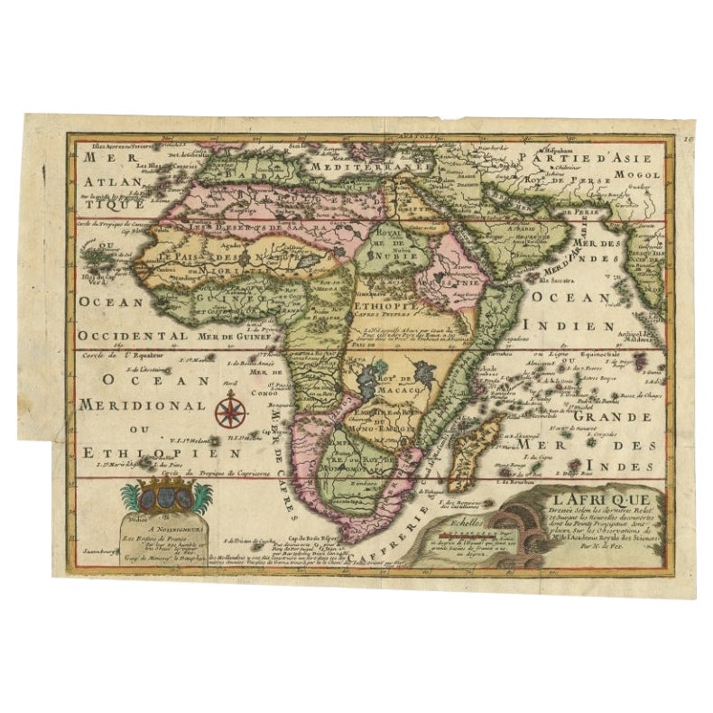
Antique map titled 'L'Afrique, Dressée Selon les Dernieres Relat. et Suivant les Nouvelles Decouvertes (..).'
This map is a reduced derivative of De Fer's wall map of Africa (1696-98) with its characteristic thickened west coast. Unusual islands appear in the Atlantic and Indian Oceans including a mythical second island of St. Helena. Monomotapa is shown in the south and the southwest coastline is distorted and there is an incorrect placement and shape of the Cape of Good Hope. In Central Africa is a paragraph concerning the origin of the Nile in Abyssinia, however, the two sub-equatorial Ptolemaic lakes are still shown on the map. The map is graced with a decorative dedication to the Dauphin and a title cartouche featuring lime kilns. The map was first published in 1700. This scarse map originates from: 'Introduction a la geographie - avec unde description historique sur toutes...
Category
Antique 18th Century Maps
Materials
Paper
$674 Sale Price
25% Off
Antique Map of Africa by Homann Heirs, '1804'
Located in Langweer, NL
Antique map titled 'Charte von Africa'. Large, original antique map of Africa by Franz Ludwig Güssefeld. Published by Homann Heirs, 1804.
Category
Antique Early 19th Century Maps
Materials
Paper

$1,439 Sale Price
20% Off
Antique Map of Africa by Keizer & de Lat, 1788
Located in Langweer, NL
Antique map titled 'Kaartje van Africa (..)'. Uncommon original antique map of Africa. This map originates from 'Nieuwe Natuur- Geschied- en Handelkundige Zak- en Reisatlas' by Gerri...
Category
Antique Late 18th Century Maps
Materials
Paper

$383 Sale Price
20% Off
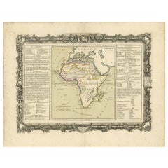
Antique Map of Africa by Claude Buy de Mornas '1761'
Located in Langweer, NL
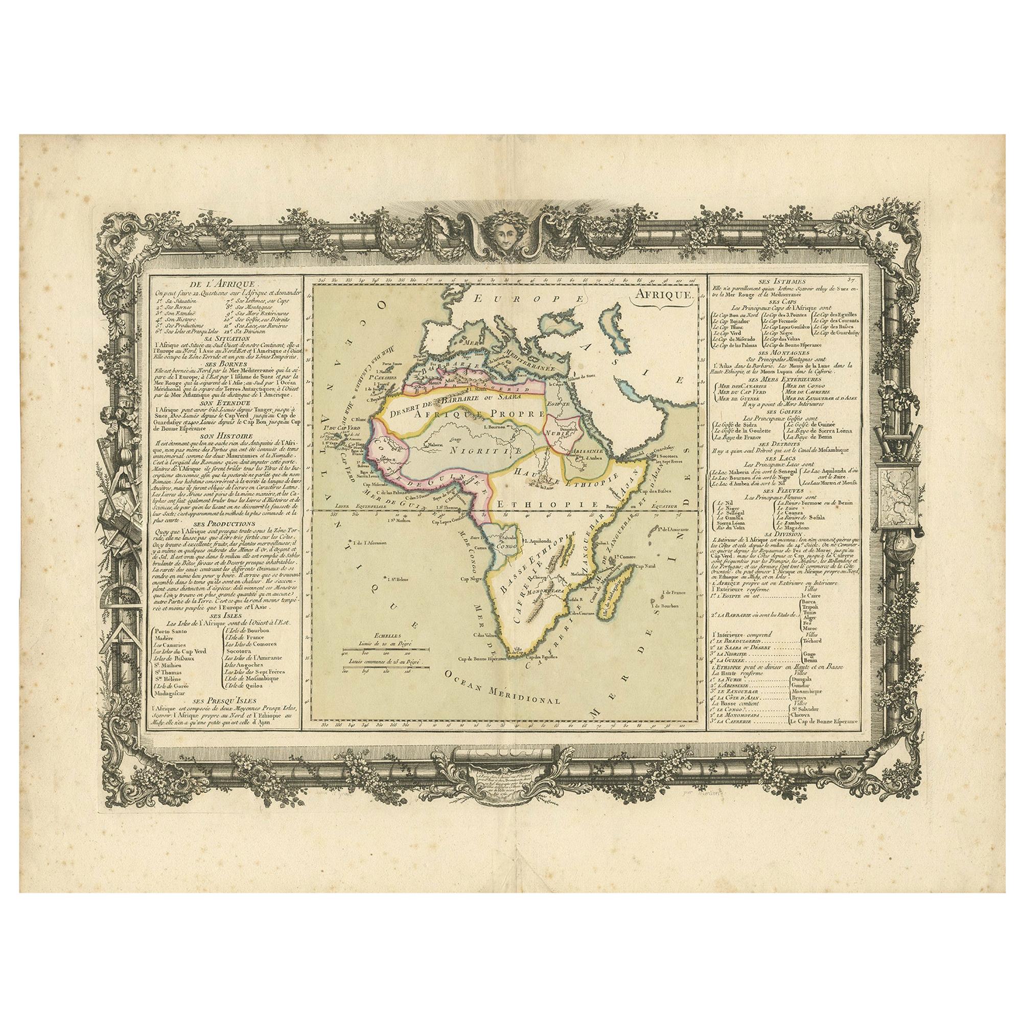
Antique map titled 'Afrique'. Original antique map of Africa flanked with descriptions containing geographical information about the area. This map originates from 'Atlas Methodique ...
Category
Antique Mid-18th Century Maps
Materials
Paper
$479 Sale Price
20% Off
You May Also Like
"Africa Vetus": a 17th Century Hand-Colored Map by Sanson
By Nicolas Sanson
Located in Alamo, CA
This original hand-colored copperplate engraved map of Africa entitled "Africa Vetus, Nicolai Sanson Christianiss Galliar Regis Geographi" was originally created by Nicholas Sanson d...
Category
Antique Late 17th Century French Maps
Materials
Paper

Africa: A Large 17th Century Hand-Colored Map by Sanson and Jaillot
By Nicolas Sanson
Located in Alamo, CA
This large original hand-colored copperplate engraved map of Africa entitled "L'Afrique divisee suivant l'estendue de ses principales parties ou sont distingues les uns des autres, L...
Category
Antique 1690s French Maps
Materials
Paper

Original Antique Map of Africa by Dower, circa 1835
Located in St Annes, Lancashire
Nice map of Africa
Drawn and engraved by J.Dower
Published by Orr & Smith. C.1835
Unframed.
Free shipping
Category
Antique 1830s English Maps
Materials
Paper

"Africa Vetus": A 17th Century Hand-colored Map By Sanson
By Nicholas Sanson d'Abbeville
Located in Alamo, CA
This original hand-colored copperplate engraved map of Africa entitled "Africa Vetus, Nicolai Sanson Christianiss Galliar Regis Geographi" was originally created by Nicholas Sanson d...
Category
1690s Landscape Prints
Materials
Engraving

Large Original Antique Map of Africa. C.1900
Located in St Annes, Lancashire
Fabulous map of Africa
Original color.
Engraved and printed by the George F. Cram Company, Indianapolis.
Published, C.1900.
Unframed.
Free shipping.
Category
Antique 1890s American Maps
Materials
Paper

Africa: A Large 17th Century Hand-colored Map By Sanson and Jaillot
By Nicholas Sanson d'Abbeville
Located in Alamo, CA
This large original hand-colored copperplate engraved map of Africa entitled "L'Afrique divisee suivant l'estendue de ses principales parties ou sont distingues les uns des autres, L...
Category
1690s Landscape Prints
Materials
Engraving

More Ways To Browse
18th Century German Table
Serpent Table
Antique Elephant Table
Tusk Table
World Map Table
Cape Dutch Furniture
Egyptian Cartouche
Antique Tusks
Elephant Tusk Table
Framed Africa Maps
Congo Table
Egyptian Folding Table
African Elephant Table
African Folding Table
Medieval Capital
Civil War Map
Map Of Singapore
Migeon Migeon