Items Similar to Antique Map of the City of Copenhagen in Denmark c.1720


Want more images or videos?
Request additional images or videos from the seller
1 of 10
Antique Map of the City of Copenhagen in Denmark c.1720
$323.39
£239.65
€270
CA$441.49
A$491.14
CHF 257.46
MX$6,001.58
NOK 3,278.44
SEK 3,086.20
DKK 2,055.76
Shipping
Retrieving quote...The 1stDibs Promise:
Authenticity Guarantee,
Money-Back Guarantee,
24-Hour Cancellation
About the Item
Antique map titled 'Copenhagen'. Original antique map of the city of Copenhagen, Denmark. This map originates from 'Unterschiedliche dieser Zeit Beruffene Laender, Gegenden, Staedte Plaetze und Öerter'. Published circa 1720. Artists and Engravers: Author: Johann Stridbeck.
Artist: Author: Johann Stridbeck.
Condition: Fair, general age-related toning. Large water stain affecting image. Shows some wear and creasing, blank verso. Please study image carefully.
Date: c.1720
Overall size: 30.5 x 19 cm.
Image size: 18 x 14 cm.
Antique prints have long been appreciated for both their aesthetic and investment value. They were the product of engraved, etched or lithographed plates. These plates were handmade out of wood or metal, which required an incredible level of skill, patience and craftsmanship. Whether you have a house with Victorian furniture or more contemporary decor an old engraving can enhance your living space. We offer a wide range of authentic antique prints for any budget.
- Dimensions:Height: 7.49 in (19 cm)Width: 12.01 in (30.5 cm)Depth: 0 in (0.01 mm)
- Materials and Techniques:Paper,Engraved
- Place of Origin:
- Period:
- Date of Manufacture:circa 1720
- Condition:Condition: Fair, general age-related toning. Large water stain affecting image. Shows some wear and creasing, blank verso. Please study image carefully.
- Seller Location:Langweer, NL
- Reference Number:Seller: BG-12900-141stDibs: LU3054327774062
About the Seller
5.0
Recognized Seller
These prestigious sellers are industry leaders and represent the highest echelon for item quality and design.
Platinum Seller
Premium sellers with a 4.7+ rating and 24-hour response times
Established in 2009
1stDibs seller since 2017
2,494 sales on 1stDibs
Typical response time: 1 hour
- ShippingRetrieving quote...Shipping from: Langweer, Netherlands
- Return Policy
Authenticity Guarantee
In the unlikely event there’s an issue with an item’s authenticity, contact us within 1 year for a full refund. DetailsMoney-Back Guarantee
If your item is not as described, is damaged in transit, or does not arrive, contact us within 7 days for a full refund. Details24-Hour Cancellation
You have a 24-hour grace period in which to reconsider your purchase, with no questions asked.Vetted Professional Sellers
Our world-class sellers must adhere to strict standards for service and quality, maintaining the integrity of our listings.Price-Match Guarantee
If you find that a seller listed the same item for a lower price elsewhere, we’ll match it.Trusted Global Delivery
Our best-in-class carrier network provides specialized shipping options worldwide, including custom delivery.More From This Seller
View AllAntique Map of the City of Groningen Made After Harrewijn, C.1750
Located in Langweer, NL
Antique map titled 'Groeningue'. Old map of the city of Groningen, the Netherlands. Source unknown, to be determined.
Artists and Engravers: Most likely made after J. Harrewijn.
...
Category
Antique 18th Century Maps
Materials
Paper
$105 Sale Price
20% Off
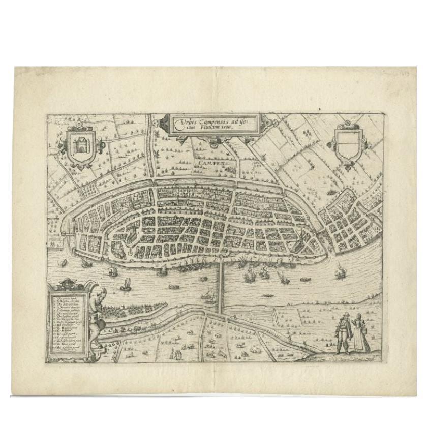
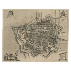
Antique Map of the City of Kampen by Guicciardini, 1613
Located in Langweer, NL
Antique map titled 'Urbis Campensis (..)'. Plan of the city of Kampen, the Netherlands. This map originates from the 1613 edition of 'Discrittione di tutti i Paesi Bassi', by L. Guic...
Category
Antique 17th Century Maps
Materials
Paper

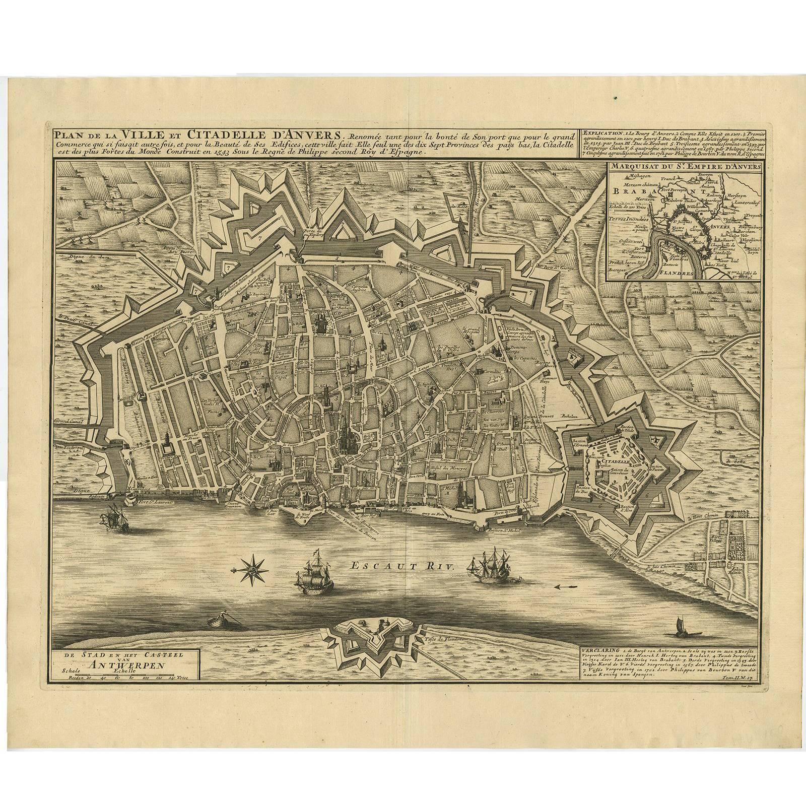
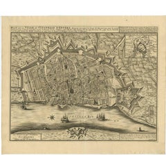
Antique Map of the City of Antwerpen ‘Belgium’ by A. Deur, 1729
Located in Langweer, NL
Copper-engraving by A. Deur. Published by I. van der Kloot in Den Haag, 1729. With French and Dutch title-cartouches and explanatory notes, several ships o...
Category
Antique Early 18th Century Maps
Materials
Paper
$737 Sale Price
20% Off
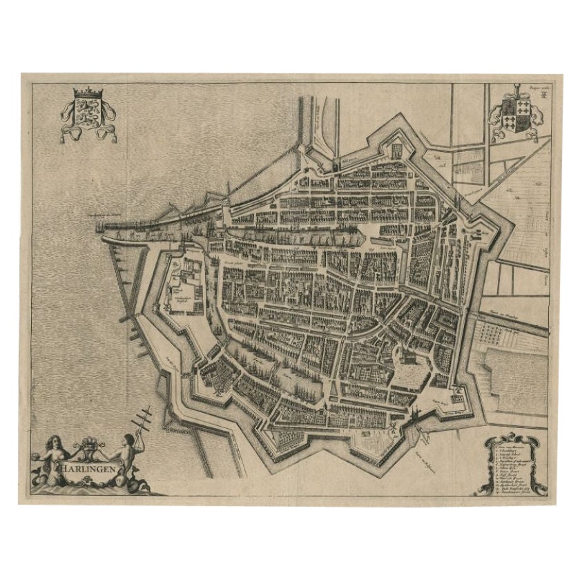
Antique Map of the City of Harlingen by Janssonius, c.1657
By Johannes Janssonius
Located in Langweer, NL
Antique map titled ‘Harlingen‘. This map depicts the city of Harlingen (Friesland, The Netherlands). Published by J. Janssonius, Amsterdam, c.1657.
Artists and Engravers: Johannes...
Category
Antique 17th Century Maps
Materials
Paper
$402 Sale Price
20% Off
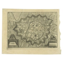
Antique Map of the City of Geldern by Blaeu, 1649
Located in Langweer, NL
Antique map titled 'Gelre'. Old map of the city of Geldern, Germany. This map originates from 'Toonneel der Steden van de Vereenighde Nederlanden' by J. Blaeu.
Artists and Engrav...
Category
Antique 17th Century Maps
Materials
Paper

$380 Sale Price
20% Off
Antique Map of the City of Batavia by Van der Aa 'c.1730'
Located in Langweer, NL
Antique map titled 'Plan de la Ville et du Chateau de Batavia en l'Isle de Iava - Ware affbeeldinge wegens het Casteel ende Stadt Batavia gelegen op groot Eylant Java'. Detailed plan...
Category
Antique Mid-18th Century Maps
Materials
Paper

$1,149 Sale Price
20% Off
You May Also Like
Utrecht, Antique Map from "Civitates Orbis Terrarum"
By Franz Hogenberg
Located in Roma, IT
Braun G., Hogenberg F., Traiectum or Utrecht, from the collection Civitates Orbis Terrarum, Cologne, T. Graminaeus, 1572-1617.
Very fine B/W aquatint showing a view of Utrecht, with...
Category
16th Century Landscape Prints
Materials
Etching

1646 Jansson Map Entitled "Procinvia Connactiae, " Ric.a006
Located in Norton, MA
1646 Jansson map entitled
"Procinvia connactiae,"
Ric.a006
Description: The PROVINCE of CONNAVGT 490 x 380From vol 4 of Jansson's Atlas Novus 1646, published in Amsterdam with...
Category
Antique 17th Century Unknown Maps
Materials
Paper

Original Antique Map or City Plan of Amsterdam, Netherlands. Circa 1835
Located in St Annes, Lancashire
Nice map of Amsterdam
Drawn and engraved by J.Dower
Published by Orr & Smith. C.1835
Unframed.
Free shipping
Category
Antique 1830s English Maps
Materials
Paper

19th Century Reprint of 16th Century Harbor Map of Copenhagen
Located in Haddonfield, NJ
This reprint of 1587 antique map of Copenhagen, Denmark retains its original mid-century mat and has been recently reframed in classic wood frame. The muted sepia colored map is a wo...
Category
Antique 1880s Danish Baroque Maps
Materials
Wood, Paper

1597 German Map of Alexandria by Georg Braun and Frans Hogenberg
By Georg Braun and Frans Hogenberg
Located in Chapel Hill, NC
1597 Map of Alexandria by Georg Braun and Frans Hogenberg, Germany. From "Civitas Orbis Terrarum", part 2, published in Cologne by Bertram Buchholz. Printed in 2 parts. Title: "Alexa...
Category
Antique 16th Century German Renaissance Maps
Materials
Paper

Large Original Antique Folding Map of Manchester, England, Dated 1793
Located in St Annes, Lancashire
Superb map of Manchester and Salford
Folding map. Printed on paper laid on to the original canvas
Unframed.
Published by C. Laurent, 1793.
Free shippi...
Category
Antique 1790s English Georgian Maps
Materials
Canvas, Paper

More Ways To Browse
Danish Prints 18th Century
Antique Florida Map
Map Of Syria
Napoleon Map
South Arabian
Antique Geological Maps
French School Map
Nova Scotia Antique Furniture
Richard Wentworth
Antique Mace
Map Of Madagascar
Map Of Normandy
Bali Map
Croatia Map
Gibraltar Antique Map
Albania Antique Map
Antique Furniture Kingston
Antique Louisiana Map