
Antique Geological Maps

Antique Geological Map of the World by Johnston '1850'

Antique Geological Map of the World by Johnston '1850'

Located in Langweer, NL

Antique map titled 'The Geological Structure of the Globe'.

Category

Mid-19th Century Antique Geological Maps

Materials

Paper

Antique Geological Map of Curaçao - Hand Colored Dutch Caribbean, 1888

Antique Geological Map of Curaçao - Hand Colored Dutch Caribbean, 1888

Located in Langweer, NL

Technique: Lithograph Maker: Karl Martin, Leiden, 1888 Keywords: Curaçao geological map Antique Curaçao map 1888 Dutch West Indies map Caribbean geology map Karl Martin Leiden E J B...

Category

1880s German Antique Geological Maps

Materials

Paper

Antique Geological Map of Aruba - Dutch West Indies by Karl Martin, 1888

Antique Geological Map of Aruba - Dutch West Indies by Karl Martin, 1888

Located in Langweer, NL

Technique: Lithograph Maker: Karl Martin, Leiden, 1888 SEO Keyword Block Aruba geological map Antique Aruba map 1888 Dutch West Indies map Caribbean geology map Karl Martin Leiden E...

Category

1880s German Antique Geological Maps

Materials

Paper

Antique Geological Map of England & Wales, Hand-Colored, c.1880

Antique Geological Map of England & Wales, Hand-Colored, c.1880

Located in Langweer, NL

Title: 1880 Geological Map of England & Wales, Complete Two-Sheet Set This remarkable original Victorian geological map set presents the complete geological structure of England and...

Category

Late 19th Century British Antique Geological Maps

Materials

Paper

Impressive Geological Map of Australia – Rare Oversized Wall Display, 1931–32

Impressive Geological Map of Australia – Rare Oversized Wall Display, 1931–32

Located in Langweer, NL

Geological Map of the Commonwealth of Australia by Sir Edgeworth David, 1931–32 Large and highly detailed geological map of the Commonwealth of Australia, compiled under the directi...

Category

Early 20th Century Australian Antique Geological Maps

Materials

Linen, Paper

Antique Map of Wisconsin with Inset Geological Map of Wisconsin

Antique Map of Wisconsin with Inset Geological Map of Wisconsin

Located in Langweer, NL

With inset geological map of Wisconsin. This print originates from 'Encyclopaedia Britannica', Ninth Edition.

Category

Late 19th Century Antique Geological Maps

Materials

Paper

Geological Map of Europe by A.K. Johnston – Mountains and Valleys 1852

Geological Map of Europe by A.K. Johnston – Mountains and Valleys 1852

Located in Langweer, NL

Rather than showing countries, the map categorizes the land by geological and geomorphological features.

Category

Mid-19th Century Scottish Antique Geological Maps

Materials

Paper

Geological Map of Africa by A.K. Johnston – Mountains and Valleys 1852

Geological Map of Africa by A.K. Johnston – Mountains and Valleys 1852

Located in Langweer, NL

Geological Map of Africa by A.K. Johnston – Mountains and Valleys 1852 This antique map titled "The Mountains, Table Lands, Plains & Valleys of Africa" was produced by the distingui...

Category

Mid-19th Century Scottish Antique Geological Maps

Materials

Paper

Geological Map of Asia by A.K. Johnston – Mountains and Valleys 1852

Geological Map of Asia by A.K. Johnston – Mountains and Valleys 1852

Located in Langweer, NL

Geological Map of Asia by A.K. Johnston – Mountains and Valleys 1852 This finely engraved and hand-colored map titled "The Mountains, Table Lands, Plains & Valleys of Asia" was crea...

Category

Mid-19th Century Scottish Antique Geological Maps

Materials

Paper

Geological Map of North America by A.K. Johnston – Mountains and Valleys 1852

Geological Map of North America by A.K. Johnston – Mountains and Valleys 1852

Located in Langweer, NL

Geological Map of North America by A.K. Johnston – Mountains and Valleys 1852 This finely detailed and beautifully shaded antique map titled "The Mountains, Table Lands, Plains & Va...

Category

Mid-19th Century Scottish Antique Geological Maps

Materials

Paper

Geological Map of the British Isles by A.K. Johnston – Highlands & Valleys 1852

Geological Map of the British Isles by A.K. Johnston – Highlands & Valleys 1852

Located in Langweer, NL

Geological Map of the British Isles by A.K. Johnston – Highlands & Valleys 1852 This antique topographic map titled "The Mountains, Table Lands, Plains & Valleys of the British Isle...

Category

Mid-19th Century Scottish Antique Geological Maps

Materials

Paper

Geological Map of South America by A.K. Johnston – Mountains and Valleys 1852

Geological Map of South America by A.K. Johnston – Mountains and Valleys 1852

Located in Langweer, NL

Geological Map of South America by A.K. Johnston – Mountains and Valleys 1852 This antique map titled "The Mountains, Table Lands, Plains & Valleys of South America" was produced by...

Category

Mid-19th Century Scottish Antique Geological Maps

Materials

Paper

Antique Map of the Region of Wakayama, Nara and Osaka 'Japan', ca.1880

Antique Map of the Region of Wakayama, Nara and Osaka 'Japan', ca.1880

Located in Langweer, NL

Geological folding map of the area with Wakayama, Nara, Osaka, Mie, and Shiga in Japan, circa 1880: This map is a geological folding map, which means it was designed to be portable ...

Category

Late 19th Century Antique Geological Maps

Materials

Linen, Paper

Antique Geological Survey Map of Surinam 1888 Hand Colored, Rare

Antique Geological Survey Map of Surinam 1888 Hand Colored, Rare

Located in Langweer, NL

Antique Geological Survey Map of Surinam 1888 Hand Colored This impressive hand-colored geological survey map of Surinam was published in 1888 as part of Karl Martin’s monumental sc...

Category

1880s German Antique Geological Maps

Materials

Paper

"Atlas to Accompany Monograph XXXII on the Geology of Yellowstone National Park"

"Atlas to Accompany Monograph XXXII on the Geology of Yellowstone National Park"

By United States Geological Survey

Located in Colorado Springs, CO

Mapped in the field by Hague and his team and then printed by Julius Bien in Washington, D.C., this atlas of Yellowstone National Park features a series of topographical maps with ge...

Category

Early 1900s American Antique Geological Maps

Materials

Leather, Fabric, Paper

Decorative Antique Geological Cross-Sections – Earth & Mountains, c.1880

Decorative Antique Geological Cross-Sections – Earth & Mountains, c.1880

Located in Langweer, NL

Antique Geological Cross-Sections – Structure of the Earth & European Mountains, c.1880 This pair of original lithographs originates from Schubert’s Naturgeschichte, a richly illust...

Category

Late 19th Century German Antique Geological Maps

Materials

Paper

Decorative Vintage Fossil Prints – Triassic Plants, Reptiles, Fish, Geology 1880

Decorative Vintage Fossil Prints – Triassic Plants, Reptiles, Fish, Geology 1880

Located in Langweer, NL

Antique Fossil Prints – Triassic Plants, Reptiles & Fish with Geological Sections, c.1880 This pair of original lithographs comes from Schubert’s Naturgeschichte, a richly illustrat...

Category

Late 19th Century German Antique Geological Maps

Materials

Paper

Tafra Island in Suriname - A Romantic River Landscape by Karl Martin, 1888

Tafra Island in Suriname - A Romantic River Landscape by Karl Martin, 1888

Located in Langweer, NL

This print works beautifully as a standalone wall piece and also pairs exceptionally well with Martin’s geological maps of Curaçao, Aruba, and Bonaire as part of a cohesive Dutch Wes...

Category

1880s Dutch Antique Geological Maps

Materials

Paper

Aruba Landscape & Mountain Views - Dutch West Indies by Karl Martin, 1888

Aruba Landscape & Mountain Views - Dutch West Indies by Karl Martin, 1888

Located in Langweer, NL

This matched pair displays beautifully as a horizontal diptych and also pairs exceptionally well with Martin’s geological maps of Aruba, Curaçao, and Bonaire as part of a cohesive AB...

Category

1880s Dutch Antique Geological Maps

Materials

Paper

Suriname Indigenous People & Tribal Objects - Ethnographic Lithographs 1888

Suriname Indigenous People & Tribal Objects - Ethnographic Lithographs 1888

Located in Langweer, NL

This three-sheet set displays beautifully as a powerful gallery grouping and also pairs exceptionally well with Martin’s Suriname landscapes, Tafra Island view, and ABC Islands geolo...

Category

1880s Dutch Antique Geological Maps

Materials

Paper

Large Antique Map of the East Indies by Brouwer, 1917

Large Antique Map of the East Indies by Brouwer, 1917

Located in Langweer, NL

(Yearbook of Mining in the Dutch East Indies), published in 1917, the map offers a comprehensive geological overview of this region.

Category

Early 20th Century Dutch Antique Geological Maps

Materials

Canvas, Paper

Map of the Volcano Islands of Santorini – Antique Engraving by Portier, ca.1790

Map of the Volcano Islands of Santorini – Antique Engraving by Portier, ca.1790

Located in Langweer, NL

The fine linework and delicate shading typical of Portier’s style capture both the form of the islands and the dramatic volcanic activity, making it an appealing piece for collectors...

Category

Late 18th Century French Antique Geological Maps

Materials

Paper

Recent Sales

Geological Map of Long & Staten Islands with the Environs of New York

Geological Map of Long & Staten Islands with the Environs of New York

By William W. Mather

Located in New York, NY

Includes parts of Westchester, New Jersey, Rockland County, and the Connecticut Coast. A large inset map in the lower right hand quadrant depicts Manhattan with a special focus on ge...

Category

1840s American Realist Antique Geological Maps

Materials

Lithograph

Geological Map of Bonaire - Dutch West Indies by Karl Martin, 1888

Geological Map of Bonaire - Dutch West Indies by Karl Martin, 1888

Located in Langweer, NL

Especially striking when displayed as part of a triptych with the Aruba and Curaçao maps. Technique: Lithograph Maker: Karl Martin, Leiden, 1888 SEO Keyword Block Bonaire geologica...

Category

1880s German Antique Geological Maps

Materials

Paper

1877 General Geological Map of Colorado by F. V. Hayden

1877 General Geological Map of Colorado by F. V. Hayden

Located in Colorado Springs, CO

Offered is an original “General Geological Map of Colorado” by F. V. Hayden. The map was printed as part of the 1877 “Geological and Geographical Atlas of Colorado and Portions of Ad...

Category

1870s American Antique Geological Maps

Materials

Paper

World Map Published in June 1783 by Stackhouse and Engraved by S.J. Neele London

World Map Published in June 1783 by Stackhouse and Engraved by S.J. Neele London

Located in Milan, IT

He worked for prominent cartographers and publishers such as Faden, Laurie, Stackhouse, Thomson and others. He engraved maps for "Lake District Maps" by Crosthwaite (along with Ashby...

Category

1780s British Antique Geological Maps

Materials

Glass, Wood, Paper

1877 "Geological and Geographical Atlas of Colorado" by F. V. Hayden

1877 "Geological and Geographical Atlas of Colorado" by F. V. Hayden

Located in Colorado Springs, CO

The first series, four sheets, embrace the entire area on a scale of twelve miles to an inch, and include Triangulations, Drainage, an Economic Map, and a General Geological map. The...

Category

1870s American Antique Geological Maps

Materials

Paper

Nantucket Chart Map
Nantucket Chart Map

Nantucket Chart Map

Sold

H 35 in W 45 in D 1.5 in

Nantucket Chart Map

Located in Nantucket, MA

Set of two U.S. geological survey topographical chart maps, one of Nantucket, the other Muskeget & Tuckernuck, circa 1890.

Category

Late 19th Century North American Folk Art Antique Geological Maps

Materials

Paper

The Yosemite by John Muir, First Edition, in Original Boards, 1912

The Yosemite by John Muir, First Edition, in Original Boards, 1912

Located in Colorado Springs, CO

Geological Survey" and "Travel-Guide Map of the Yosemite National Park, California...After Topographic Sheet of Administrative Map of Yosemite National Park by U.S.

Category

1910s American Arts and Crafts Antique Geological Maps

Materials

Fabric, Paper

Report upon the Colorado River of the West by Joseph Ives, First Edition, 1861

Report upon the Colorado River of the West by Joseph Ives, First Edition, 1861

Located in Colorado Springs, CO

This copy without the two additional maps with added geological information, which were not issued in all copies and are often not present.

Category

1860s American Antique Geological Maps

Materials

Fabric, Paper

Beneath the Surface: James Wyld's 1844 Geological Map of the British Isles

Beneath the Surface: James Wyld's 1844 Geological Map of the British Isles

Located in Langweer, NL

This superb original geological map of the United Kingdom of Great Britain and Ireland by James Wyld, produced in 1844, is a remarkable Victorian artifact.

Category

1840s Antique Geological Maps

Materials

Paper

Set of a Book and Two Maps of Long Island, '1914'

Set of a Book and Two Maps of Long Island, '1914'

Sold

H 25.4 in W 61.62 in D 0.02 in

Set of a Book and Two Maps of Long Island, '1914'

Located in Langweer, NL

Topography lines, at 20' intervals, are shown in brown, coastal wetlands in blue, and the Atlantic Ocean and Long Island Sound in green. 3) Geologic Map of Long Island, New York. ...

Category

Early 20th Century Antique Geological Maps

Materials

Paper

William W. Mather's Geological Map of Long Island

William W. Mather's Geological Map of Long Island

By William W. Mather

Located in New York, NY

In conjunction with an extensive written analysis of this region, this topographical map of Long Island carefully delineates various geological information pertinent to the time per...

Category

19th Century American Antique Geological Maps

Framed Map of Lake Winnipesaukee Region, NH

Framed Map of Lake Winnipesaukee Region, NH

Sold

H 25.5 in W 34.25 in D 1.75 in

Framed Map of Lake Winnipesaukee Region, NH

By United States Geological Survey

Located in Essex, MA

A framed, very detailed map of lake Winnipesaukee, NH and surrounding areas (the 'Winnipesaukee Quadrangle or Wolfeboro Triangle'), published by the United States Department of the I...

Category

1920s American Antique Geological Maps

Materials

Paper, Walnut

Schoolhouse Geological Map of State of Connecticut, 1906

Schoolhouse Geological Map of State of Connecticut, 1906

Located in Madison, WI

Geological Map of the State of Connecticut dated 1906.

Category

Early 20th Century American Schoolhouse Antique Geological Maps

Get Updated with New Arrivals
Save "Antique Geological Maps", and we’ll notify you when there are new listings in this category.

Antique Geological Maps For Sale on 1stDibs

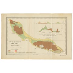
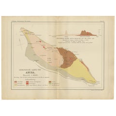
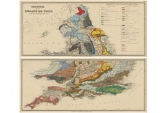
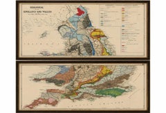
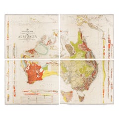
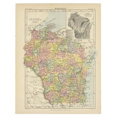
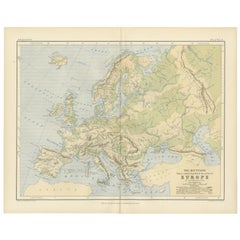
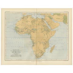
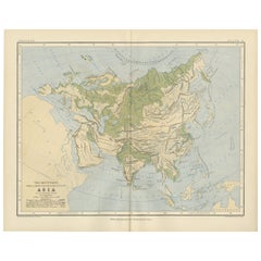
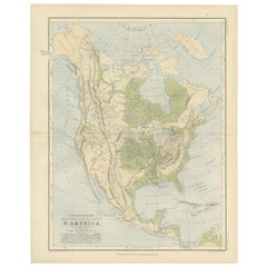
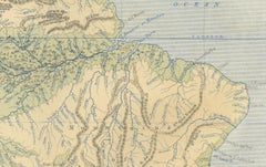
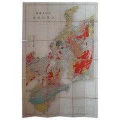
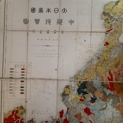
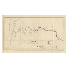
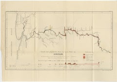
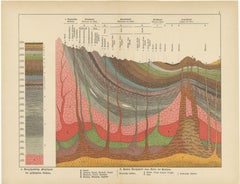
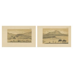
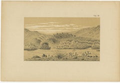
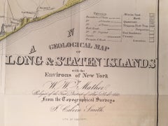
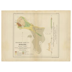
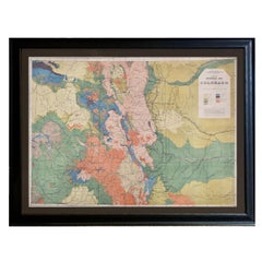
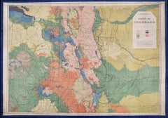
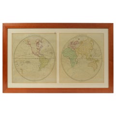
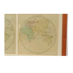
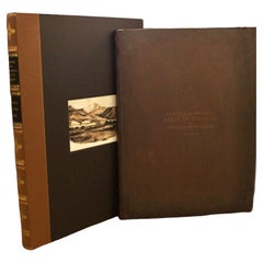
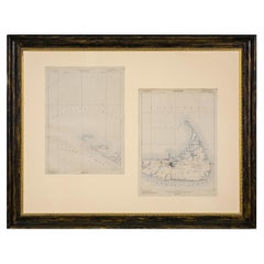
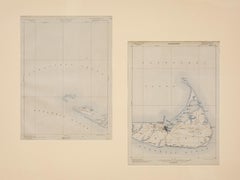
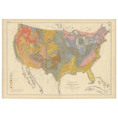
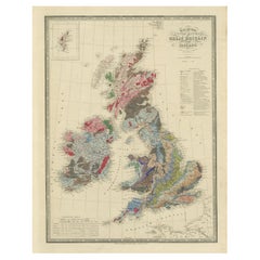
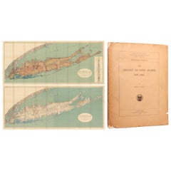
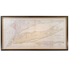
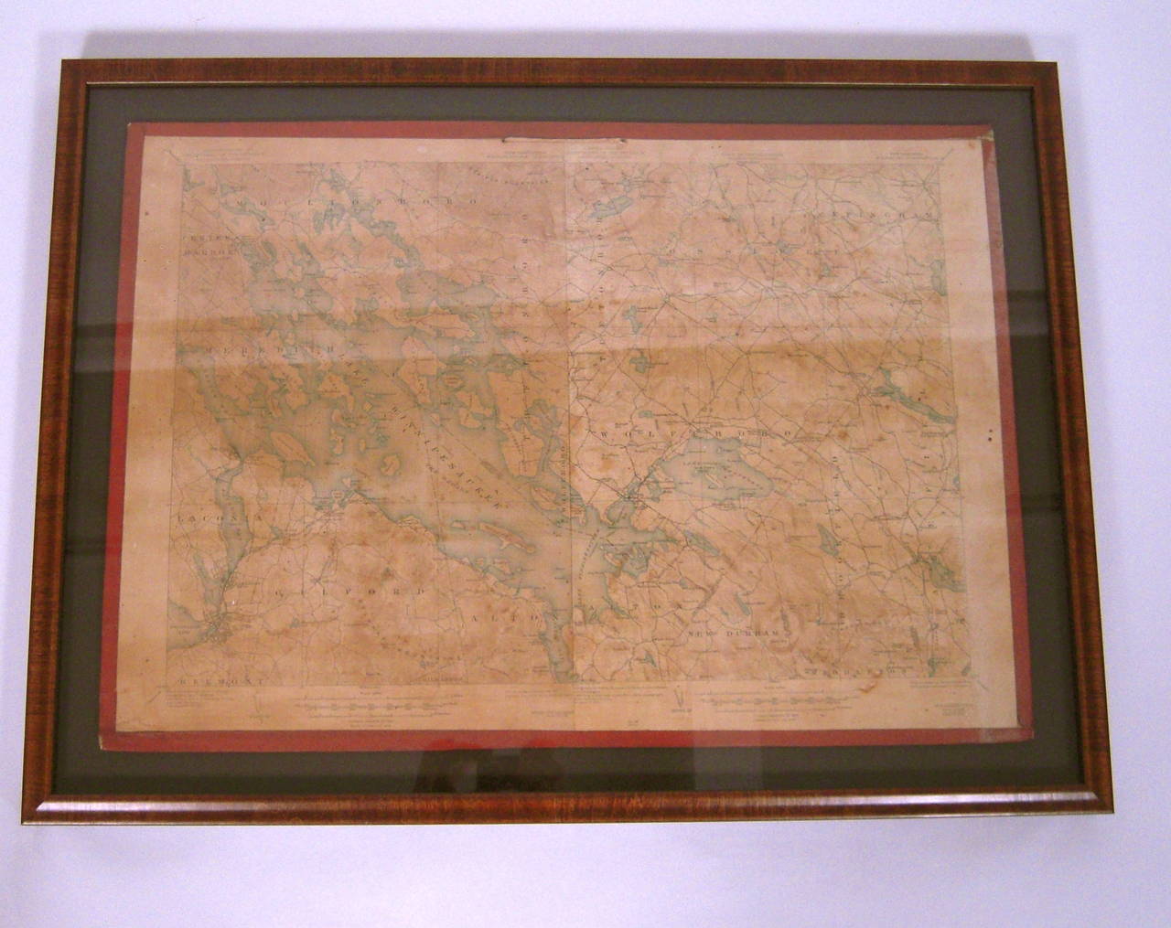
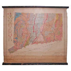
Find a variety of antique geological maps available on 1stDibs. Each of these unique antique geological maps was constructed with extraordinary care, often using paper, copper and fabric. Antique geological maps have long been popular, with older editions for sale from the 19th Century and newer versions made as recently as the 20th Century. There are many kinds of antique geological maps to choose from, but at 1stDibs, Victorian antique geological maps are of considerable interest. Antique geological maps have been a part of the life’s work for many furniture makers, but those produced by Samuel Augustus Mitchell are consistently popular.

How Much are Antique Geological Maps?

Prices for antique geological maps can differ depending upon size, time period and other attributes — at 1stDibs, antique geological maps begin at $317 and can go as high as $12,450, while the average can fetch as much as $2,380.

Read More