Items Similar to Antique Map of Prussia & Posen – Insets of Berlin, Königsberg & Danzig, 1858

Want more images or videos?
Request additional images or videos from the seller
1 of 10
Antique Map of Prussia & Posen – Insets of Berlin, Königsberg & Danzig, 1858
$625.96
£471.25
€530
CA$862.30
A$965.72
CHF 503.90
MX$11,795.88
NOK 6,411.05
SEK 6,043.18
DKK 4,034.43
About the Item
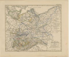
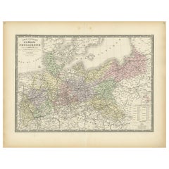
Antique Map of Prussia & Posen – With Insets of Berlin, Königsberg & Danzig, 1858
Highly detailed and information-rich map titled "Die Preuss: Provinzen Preussen und Posen", published by Justus Perthes in Gotha in 1858. This copperplate engraving provides a comprehensive view of the northeastern provinces of the Kingdom of Prussia—namely East and West Prussia and the Grand Duchy of Posen—at a time when Prussia was a dominant force within the German Confederation.
The map is notable for its complexity and layered detail. It is surrounded by multiple insets that enrich the cartographic content:
– A large city plan of Berlin, complete with street layout and surrounding areas.
– Detailed insets of Königsberg and Danzig, two key port cities in East Prussia.
– A lower inset showing the entire Prussian state for geographic context.
– A textual section explaining the population figures and administrative divisions.
Borders of provinces and regions are delicately hand-colored, showing the relationship between modern-day Poland, Lithuania, and Germany. Towns, rivers, rail lines, and fortresses are clearly marked, with major centers such as Breslau (Wrocław), Thorn (Toruń), Königsberg (Kaliningrad), and Danzig (Gdańsk) given prominence. The Baltic coastline, Vistula River, and regional infrastructure are all intricately engraved.
This map is a valuable historical document reflecting the ethnic and political composition of Prussian territories prior to the German unification of 1871 and the dramatic boundary shifts of the 20th century. It would greatly appeal to collectors interested in German, Polish, or Baltic regional history.
Condition report:
Very good condition. Slight age-toning at the edges. All insets and text are intact and legible. Original hand-coloring well-preserved. No tears or repairs. Please review image closely for details.
Framing tips:
Frame with a dark oak or black frame and a neutral mat to highlight the clean engraving. A double mat with burgundy or navy accent line may enhance the border tones. Excellent for historical, educational, or genealogical display.
Technique: Copperplate engraving with original hand-coloring
Maker: Justus Perthes, Gotha, 1855
- Dimensions:Height: 14.77 in (37.5 cm)Width: 17.88 in (45.4 cm)Depth: 0.01 in (0.2 mm)
- Materials and Techniques:Paper,Engraved
- Place of Origin:
- Period:
- Date of Manufacture:1858
- Condition:Very good condition. Slight age-toning at the edges. All insets and text are intact and legible. Original hand-coloring well-preserved. No tears or repairs. Please review image closely for details.
- Seller Location:Langweer, NL
- Reference Number:Seller: BG-05552-301stDibs: LU3054346118182
About the Seller
5.0
Recognized Seller
These prestigious sellers are industry leaders and represent the highest echelon for item quality and design.
Platinum Seller
Premium sellers with a 4.7+ rating and 24-hour response times
Established in 2009
1stDibs seller since 2017
2,531 sales on 1stDibs
Typical response time: <1 hour
- ShippingRetrieving quote...Shipping from: Langweer, Netherlands
- Return Policy
Authenticity Guarantee
In the unlikely event there’s an issue with an item’s authenticity, contact us within 1 year for a full refund. DetailsMoney-Back Guarantee
If your item is not as described, is damaged in transit, or does not arrive, contact us within 7 days for a full refund. Details24-Hour Cancellation
You have a 24-hour grace period in which to reconsider your purchase, with no questions asked.Vetted Professional Sellers
Our world-class sellers must adhere to strict standards for service and quality, maintaining the integrity of our listings.Price-Match Guarantee
If you find that a seller listed the same item for a lower price elsewhere, we’ll match it.Trusted Global Delivery
Our best-in-class carrier network provides specialized shipping options worldwide, including custom delivery.More From This Seller
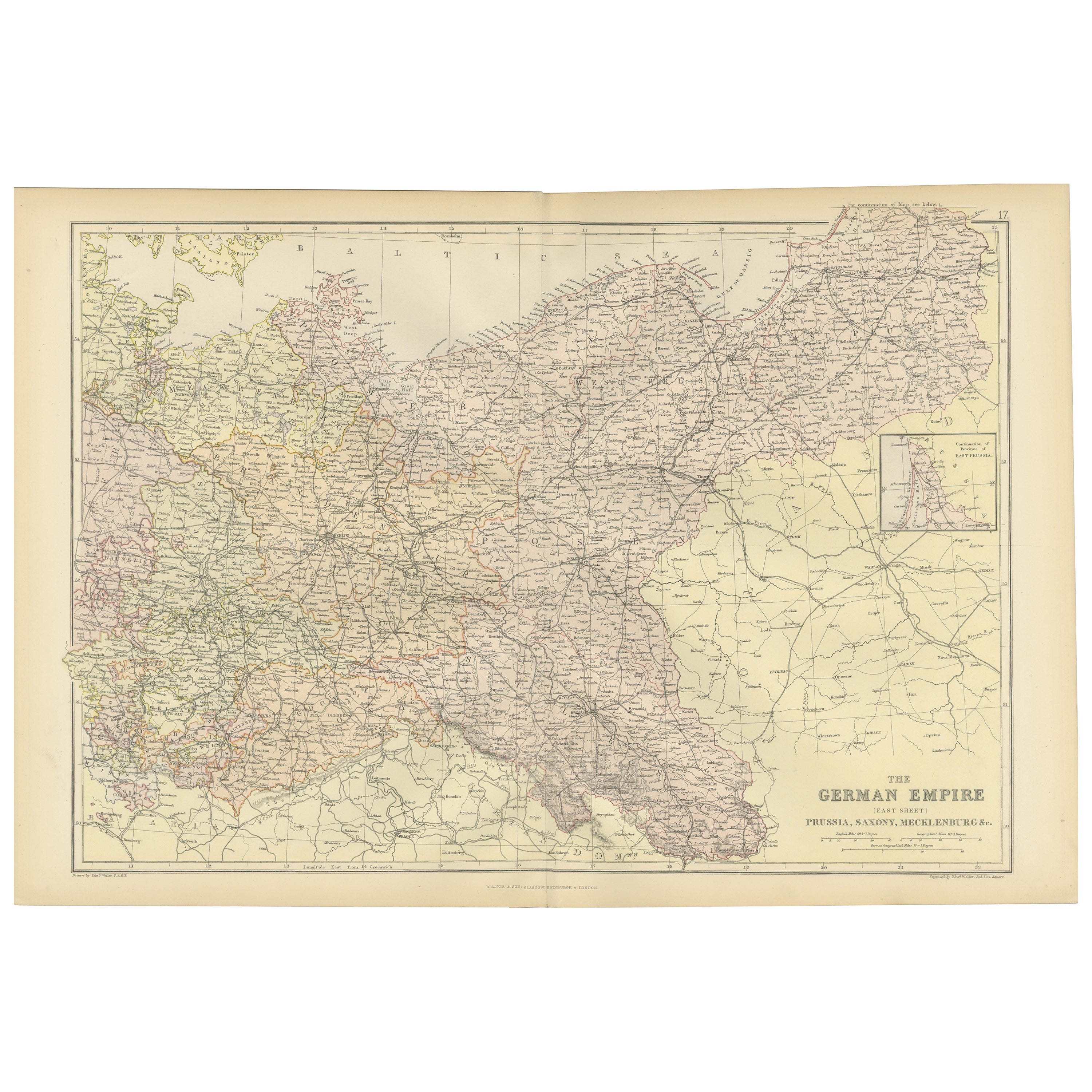
View AllAntique Map of Northeastern Germany – Saxon & Prussian States, 1858
Located in Langweer, NL
Antique Map of Northeastern Germany – Saxon & Prussian States, 1858
Detailed and finely engraved map titled "Nord-Östliches Deutschland enthaltend die Sächsischen Länder und die Pre...
Category
Antique Mid-19th Century German Maps
Materials
Paper
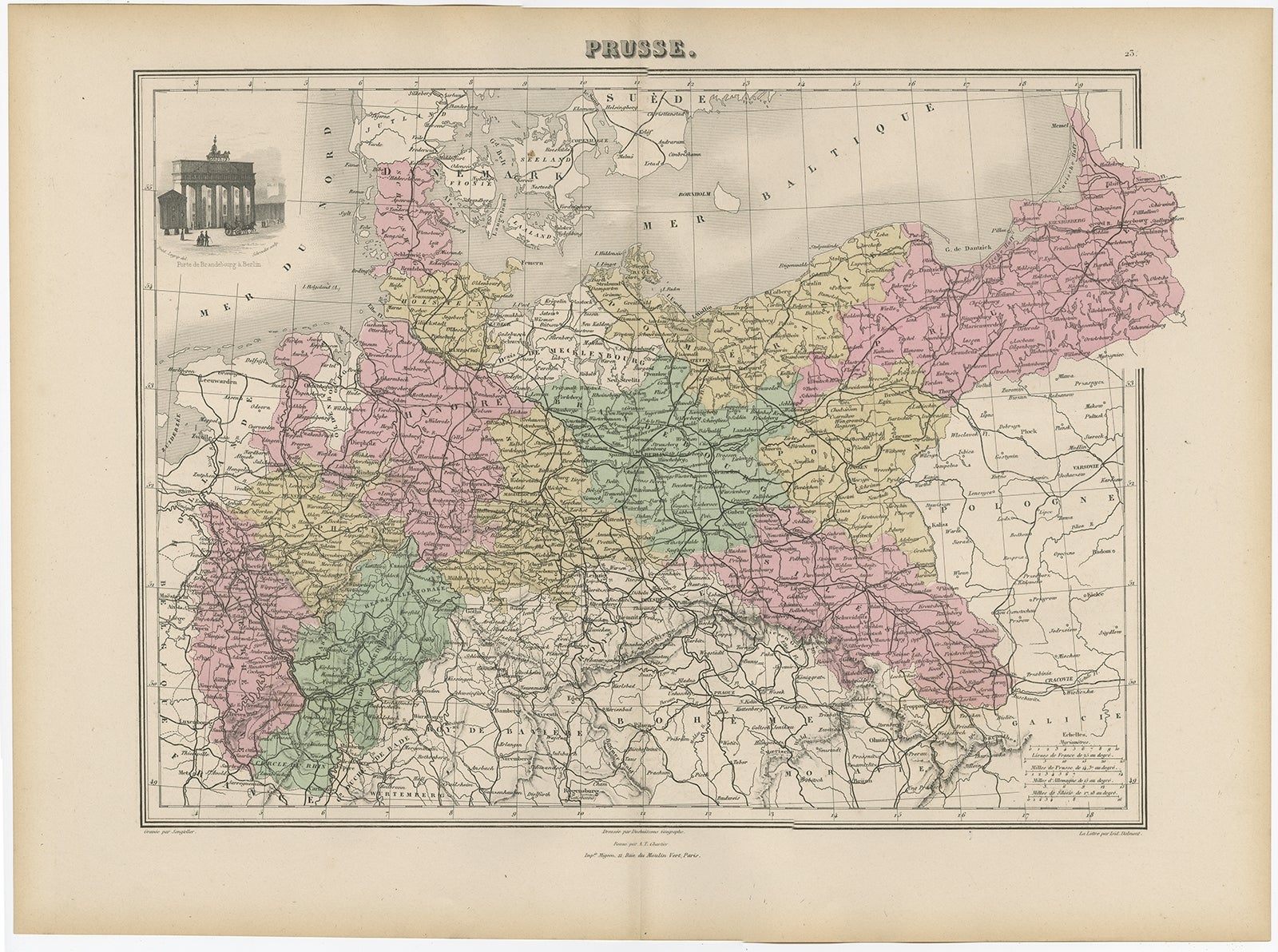
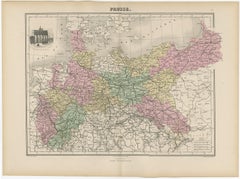
Antique Map of the Kingdom of Prussia, 1880
Located in Langweer, NL
Antique map titled 'Prusse'. Old map of the Kingdom of Prussia, with a decorative vignette of the gate of Brandenburg, Berlin. This map originates from 'Géographie Universelle Atlas-...
Category
Antique 19th Century Maps
Materials
Paper
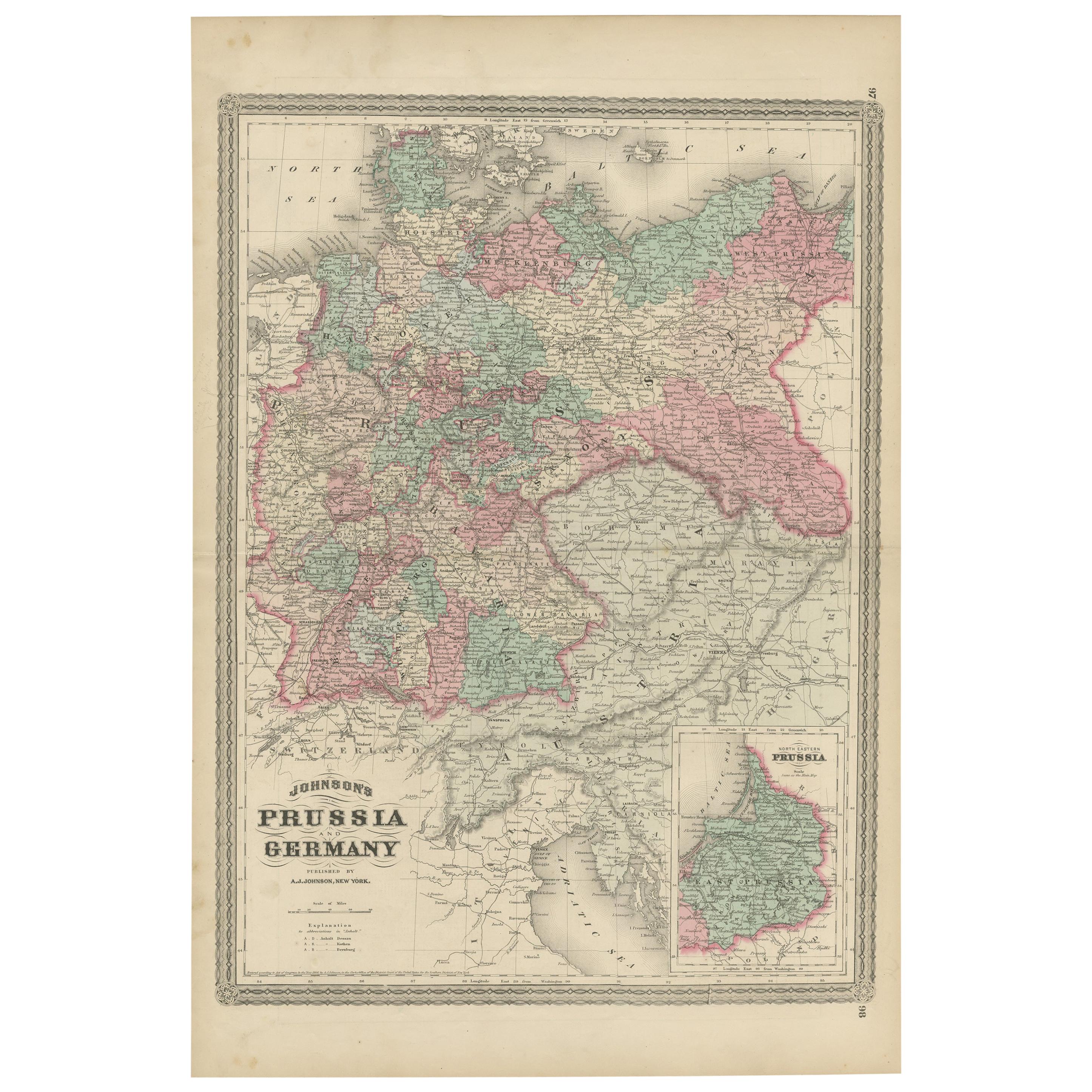
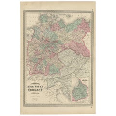
Antique Map of Prussia and Germany by Johnson, 1872
Located in Langweer, NL
Antique map titled 'Johnson's Prussia and Germany (..)'. Original map of Prussia and Germany, with inset map of North Eastern Prussia. This map originates from 'Johnson's New Illustr...
Category
Antique Late 19th Century Maps
Materials
Paper
$236 Sale Price
20% Off
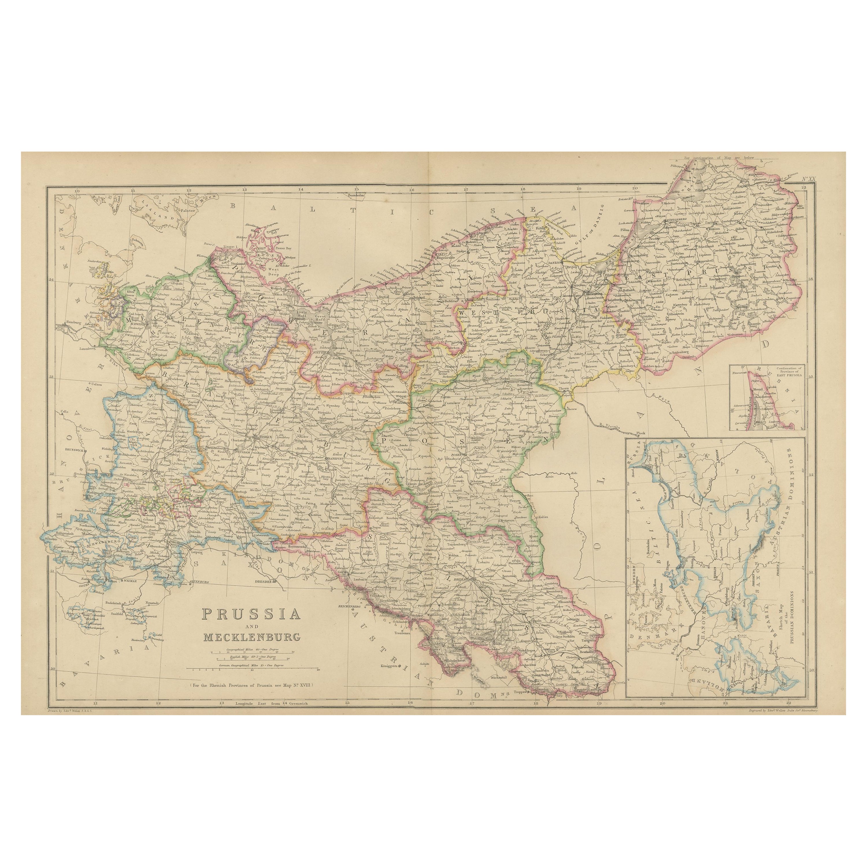
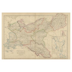
Antique Map of Prussia and Mecklenburg by W. G. Blackie, 1859
Located in Langweer, NL
Antique map titled 'Prussia and Mecklenburg'. Original antique map of Prussia and Mecklenburg with inset map of East Prussia. This map originates from ‘Th...
Category
Antique Mid-19th Century Maps
Materials
Paper
$236 Sale Price
20% Off
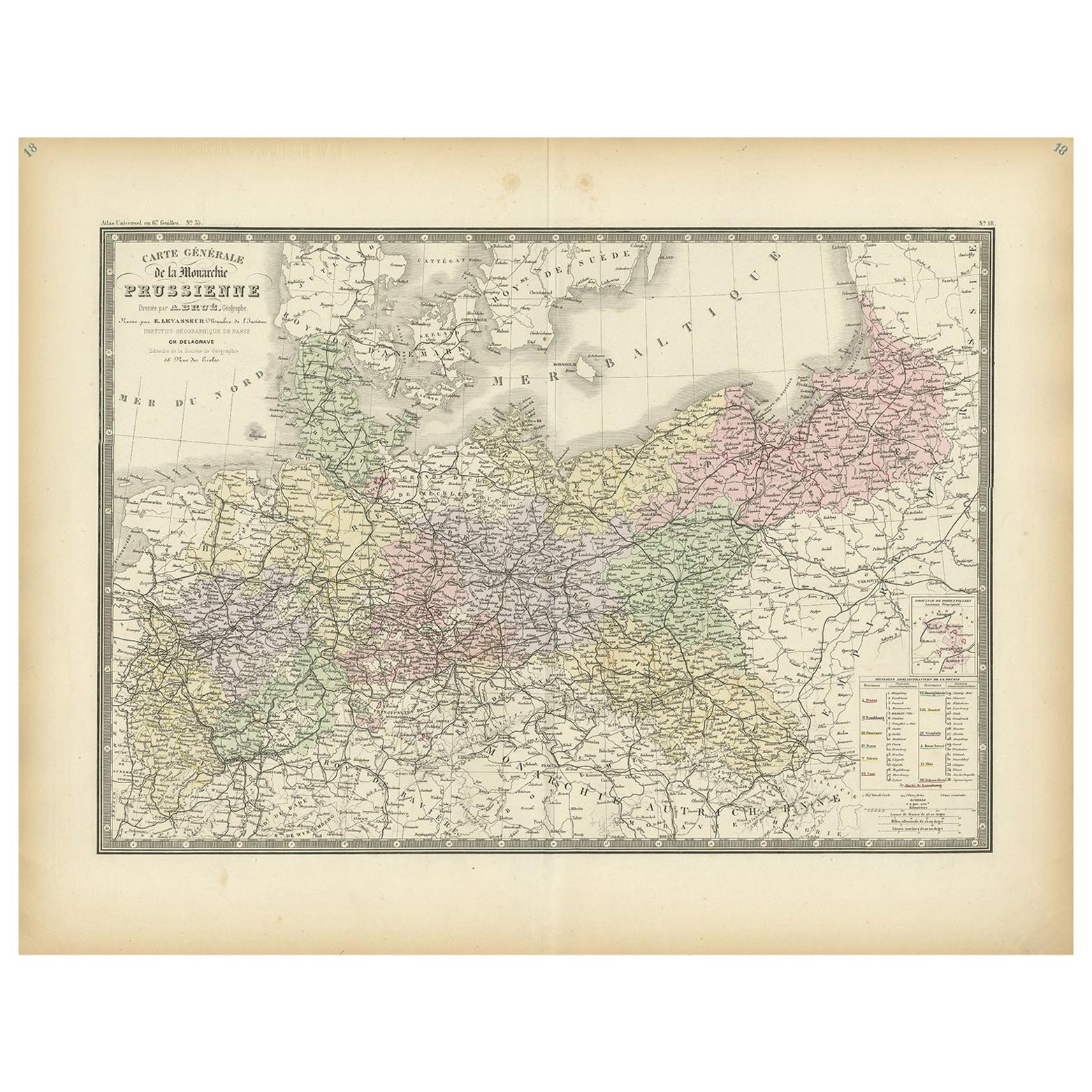
Antique Map of the Prussian Monarchy by Levasseur, '1875'
Located in Langweer, NL
Antique map titled 'Carte générale de la Monarchie Prussienne (..)'. Large map of the Prussian Monarchy. This map originates from 'Atlas de Géographie Moderne Physique et Politique' ...
Category
Antique Late 19th Century French Maps
Materials
Paper
$330 Sale Price
30% Off
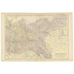
Antique Map of The German Empire (East Sheet), 1882
Located in Langweer, NL
Step into history with an authentic Antique Map of The German Empire (East Sheet) from the esteemed 'Comprehensive Atlas and Geography of the World,' meticulously crafted in 1882. Th...
Category
Antique 1880s Maps
Materials
Paper
$179 Sale Price
20% Off
You May Also Like
1853 Map of "Russia in Europe Including Poland" Ric.r016
Located in Norton, MA
Description
Russia in Europe incl. Poland by J Wyld c.1853
Hand coloured steel engraving
Dimension: Paper: 25 cm W x 33 cm H ; Sight: 22 cm W x 28 cm H
Condition: Good ...
Category
Antique 19th Century Unknown Maps
Materials
Paper

German Empire, Northern Part. Century Atlas antique vintage map
Located in Melbourne, Victoria
'The Century Atlas. German Empire, Northern Part.'
Original antique map, 1903.
Central fold as issued. Map name and number printed on the reverse corne...
Category
Early 20th Century Victorian More Prints
Materials
Lithograph

1839 Map of Karte Des "Russischen Reiches in Europa Und Asien" Ric.R0013
Located in Norton, MA
1839 map of Karte Des
"Russischen Reiches in Europa and Asien"
Ric.r013
Map of the European and Asian parts of Russian Empire. Karte der Russischen Reiches in Europa und Asien...
Category
Antique 19th Century Unknown Maps
Materials
Paper

Map of Germany - Original Etching - 1820
Located in Roma, IT
Map of Germany is an Original Etching realized by an unknown artist of 19th century in 1820.
Very good condition on two sheets of white paper joined at...
Category
1820s Modern Figurative Prints
Materials
Etching

1849 Map of "Europaische Russland", 'Meyer Map of European Russia', Ric. R017
Located in Norton, MA
1849 Map of
"Europaische Russland"
( Meyer Map of European Russia)
Ric.r017
A lovely map of European Russia dating to 1849 by Joseph Meyer. It covers the European portions of...
Category
Antique 19th Century Unknown Maps
Materials
Paper

German Empire, Southwestern Part. Century Atlas antique vintage map
Located in Melbourne, Victoria
'The Century Atlas. German Empire, Southwestern Part'
Original antique map, 1903.
Central fold as issued. Map name and number printed on the reverse co...
Category
Early 20th Century Victorian More Prints
Materials
Lithograph
