Items Similar to Decorative Antique Map of Eastern Canada, Published in 1882


Want more images or videos?
Request additional images or videos from the seller
1 of 7
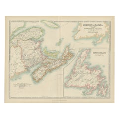
Decorative Antique Map of Eastern Canada, Published in 1882
$239.63
$299.5420% Off
£178.35
£222.9420% Off
€200
€25020% Off
CA$328.23
CA$410.2920% Off
A$365.07
A$456.3320% Off
CHF 190.63
CHF 238.2820% Off
MX$4,442.45
MX$5,553.0720% Off
NOK 2,434.58
NOK 3,043.2220% Off
SEK 2,283.21
SEK 2,854.0120% Off
DKK 1,522.53
DKK 1,903.1620% Off
Shipping
Retrieving quote...The 1stDibs Promise:
Authenticity Guarantee,
Money-Back Guarantee,
24-Hour Cancellation
About the Item
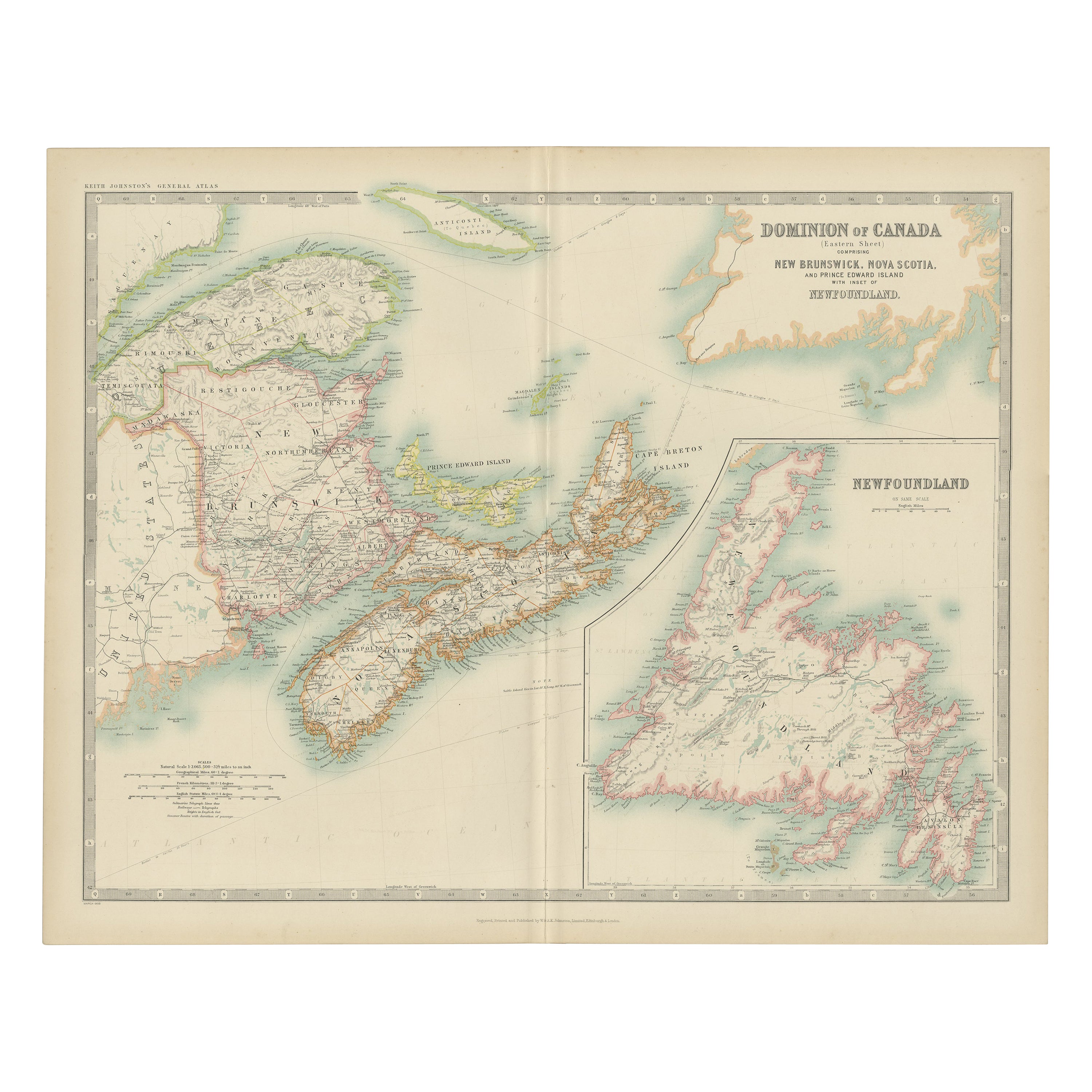
This is a historical map from the 1882 Blackie Atlas, focused on eastern Canada and the maritime provinces. The map is titled "Canada. No. 2. Provinces of Nova Scotia, New Brunswick, Prince Edward Island, Newfoundland." The Gulf of St. Lawrence is a prominent feature, with the surrounding lands and waterways detailed intricately.
On the map, the provinces of Nova Scotia and New Brunswick are color differentiated, with Prince Edward Island and the Newfoundland island clearly marked. The topography is indicated by hachure marks, which are used to denote the relief and mountains, a common practice before the development of contour lines.
Major cities, towns, rivers, and other geographical features are noted, allowing for a detailed understanding of the region's geography at the time. The railway lines are also likely indicated, as they were an important part of the area's infrastructure and development.
In the bottom right corner, there appears to be an inset map providing a more detailed view of Newfoundland, which shows its rugged coastline and internal features. The presence of such detailed mapping of the area reflects its significance for shipping, fishing, and transatlantic travel and communication during the late 19th century.
The map's longitude and latitude markers, the detailed scale at the bottom, and the clear labeling of the geographical features all indicate that this map was a practical tool for education and navigation at the time of its creation.
- Dimensions:Height: 14.97 in (38 cm)Width: 22.45 in (57 cm)Depth: 0 in (0.02 mm)
- Materials and Techniques:
- Period:
- Date of Manufacture:1882
- Condition:Good condition, folding line in the middle. The outer borders are slightly discolored due to age, but not the image. Study the image carefully.
- Seller Location:Langweer, NL
- Reference Number:Seller: BG-13601-2-591stDibs: LU3054338776152
About the Seller
5.0
Recognized Seller
These prestigious sellers are industry leaders and represent the highest echelon for item quality and design.
Platinum Seller
Premium sellers with a 4.7+ rating and 24-hour response times
Established in 2009
1stDibs seller since 2017
2,508 sales on 1stDibs
Typical response time: <1 hour
- ShippingRetrieving quote...Shipping from: Langweer, Netherlands
- Return Policy
Authenticity Guarantee
In the unlikely event there’s an issue with an item’s authenticity, contact us within 1 year for a full refund. DetailsMoney-Back Guarantee
If your item is not as described, is damaged in transit, or does not arrive, contact us within 7 days for a full refund. Details24-Hour Cancellation
You have a 24-hour grace period in which to reconsider your purchase, with no questions asked.Vetted Professional Sellers
Our world-class sellers must adhere to strict standards for service and quality, maintaining the integrity of our listings.Price-Match Guarantee
If you find that a seller listed the same item for a lower price elsewhere, we’ll match it.Trusted Global Delivery
Our best-in-class carrier network provides specialized shipping options worldwide, including custom delivery.More From This Seller
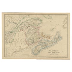
View AllAntique Map of the Province of Canada 'East' by A.K. Johnston, 1865
Located in Langweer, NL
Antique map titled 'Province of Canada (Eastern Sheet)'. Depicting New Brunswick, Newfoundland, Cape Breton Island, Prince Edward Island, Nova Scotia and m...
Category
Antique Mid-19th Century Maps
Materials
Paper
$249 Sale Price
20% Off
Antique Map of Canada by Johnston '1909'
Located in Langweer, NL
Antique map titled 'Dominion of Canada'. Original antique map of Canada. With inset map of Newfoundland. This map originates from the ‘Royal Atla...
Category
Early 20th Century Maps
Materials
Paper
$239 Sale Price
20% Off
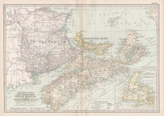
Antique Map of Eastern Canada with an inset Map of Newfoundland, 1882
Located in Langweer, NL
Antique map titled 'Dominion of Canada'. Old map of Eastern Canada with an inset map of Newfoundland. This map originates from 'The Royal Atlas of Modern Geography, Exhibiting, in a ...
Category
Antique 19th Century Maps
Materials
Paper

$268 Sale Price
20% Off
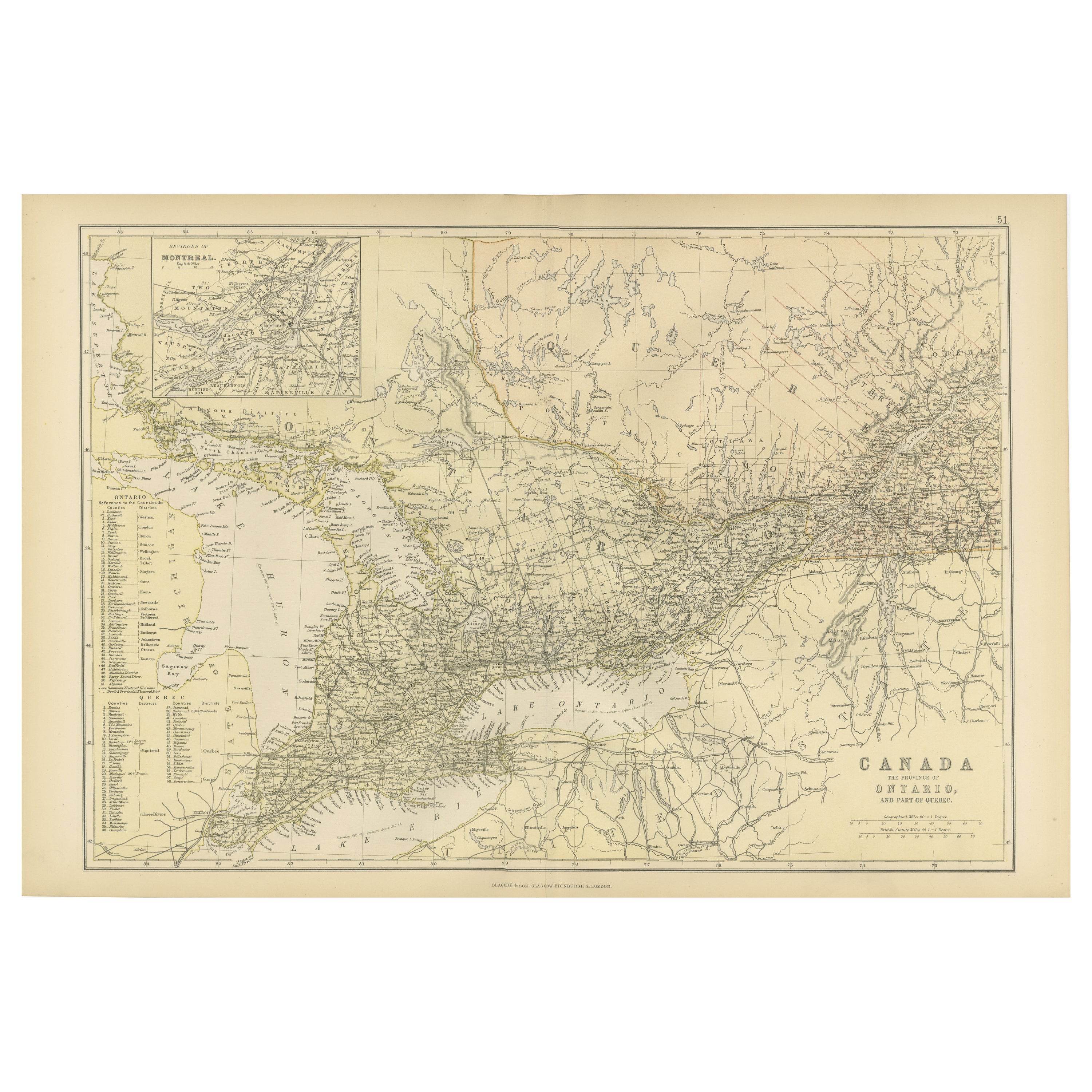
Antique Map of Canada, The Province of Ontario and Part of Quebec, 1882
Located in Langweer, NL
This is a historical map from the 1882 Blackie Atlas, this time detailing "The Province of Ontario, and Part of Quebec" in Canada. The map presents a detailed illustration of Ontario...
Category
Antique 1880s Maps
Materials
Paper

$239 Sale Price
20% Off
Free Shipping
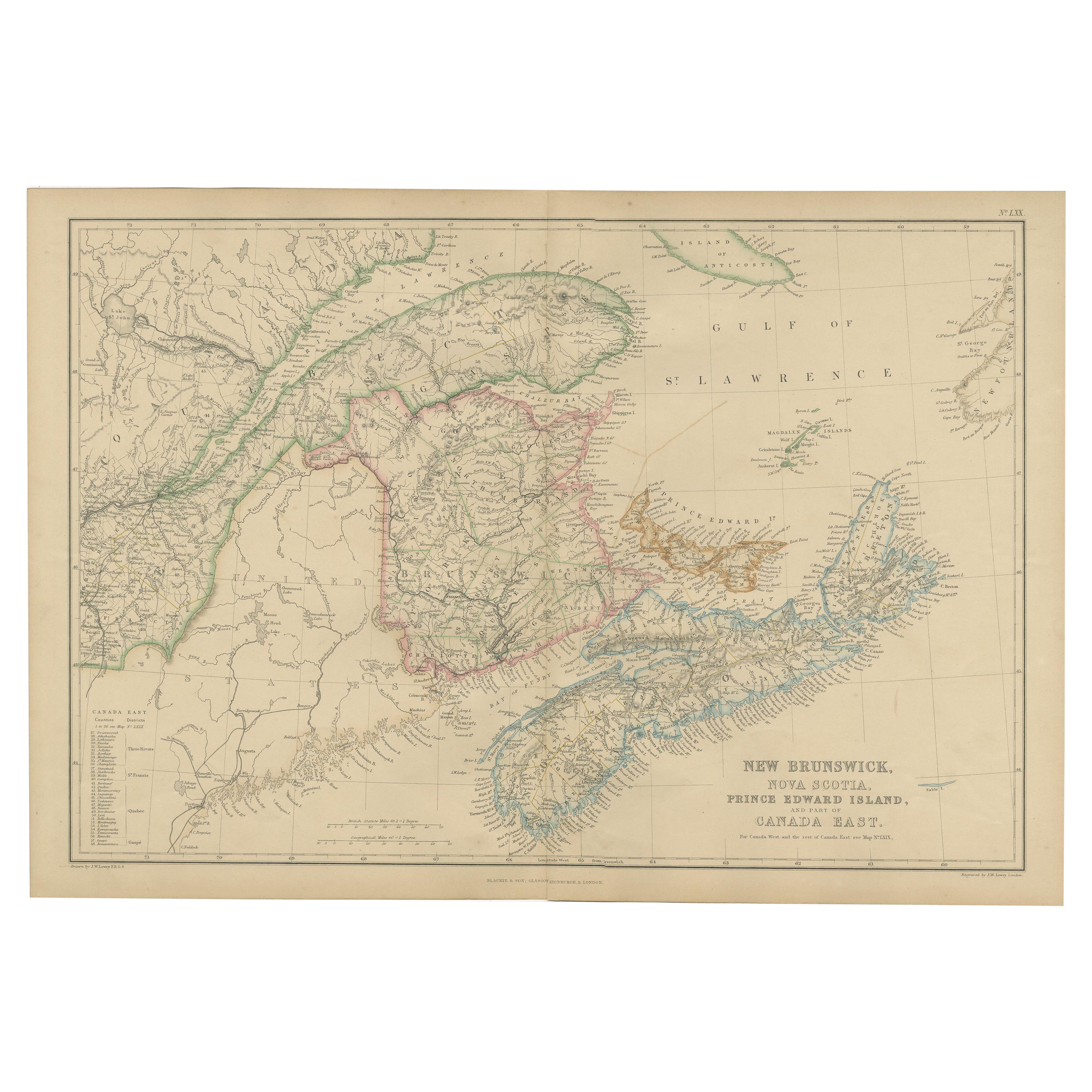
Antique Map of New Brunswick, Nova Scotia and Surroundings by Johnson, 1872
Located in Langweer, NL
Antique map titled 'Johnson's Quebec, of the dominion of Canada (..)'. Original map of New Brunswick, Nova Scotia, Newfoundland and Prince Edward Island....
Category
Antique Late 19th Century Maps
Materials
Paper

$335 Sale Price
20% Off
Antique Map of New Brunswick by W. G. Blackie, 1859
Located in Langweer, NL
Antique map titled 'New Brunswick, Nova Scotia, Prince Edward Island and Part of Canada east'. Original antique map of New Brunswick, Nova Scotia,...
Category
Antique Mid-19th Century Maps
Materials
Paper
$239 Sale Price
20% Off
You May Also Like
Original Antique Map of New Brunswick and Nova Scotia, 1889
Located in St Annes, Lancashire
Great map of New Brunswick and Nova Scotia
Drawn and Engraved by W. & A.K. Johnston
Published By A & C Black, Edinburgh.
Original colour
Unfr...
Category
Antique 1880s Scottish Victorian Maps
Materials
Paper

Original Antique Map of the American State of Maine, 1903
Located in St Annes, Lancashire
Antique map of Maine
Published By A & C Black. 1903
Original colour
Good condition
Unframed.
Free shipping
Category
Antique Early 1900s English Maps
Materials
Paper

New Brunswick, Nova Scotia and Prince Edward Island, Canada. Century Atlas map
Located in Melbourne, Victoria
'The Century Atlas. New Brunswick, Nova Scotia and Prince Edward Island, Canada.'
Original antique map, 1903.
Inset map of Newfoundland.
Central...
Category
Early 20th Century Victorian More Prints
Materials
Lithograph
Canada and Newfoundland. Century Atlas antique vintage map
Located in Melbourne, Victoria
'The Century Atlas. Dominion of Canada and Newfoundland.'
Original antique map, 1903.
Central fold as issued. Map name and number printed on the reverse corners.
Sheet 29.5cm by 40...
Category
Early 20th Century Victorian More Prints
Materials
Lithograph

Quebec. Canada. Century Atlas antique vintage map
Located in Melbourne, Victoria
'The Century Atlas. Quebec'
Original antique map, 1903.
Inset maps 'Sketch Map of Quebec', Quebec and Vicinity; and 'Montreal and Vicinity'.
Central fo...
Category
Early 20th Century Victorian More Prints
Materials
Lithograph

Large Original Vintage Map of North America, circa 1920
Located in St Annes, Lancashire
Great map of North America
Original color. Good condition
Published by Alexander Gross
Unframed.
Category
Vintage 1920s English Edwardian Maps
Materials
Paper

More Ways To Browse
Canadian Antique Furniture
Railway Map
Antique Fishing Collectables
Antique Furniture Brunswick
Used Furniture Nova Scotia
Antique Furniture Newfoundland
20th Century Spanish Table
Antonio Bellini
Antique Oushak Carpets
Blue Coffee Tables
German Bauhaus Posters
1945 Chair Juhl
Antique Three Leg Table
Folke Arstrom
Silver Over Copper
Vintage Barware Glasses
Antique Etched Glass
Antique French Shell