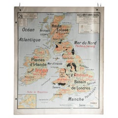
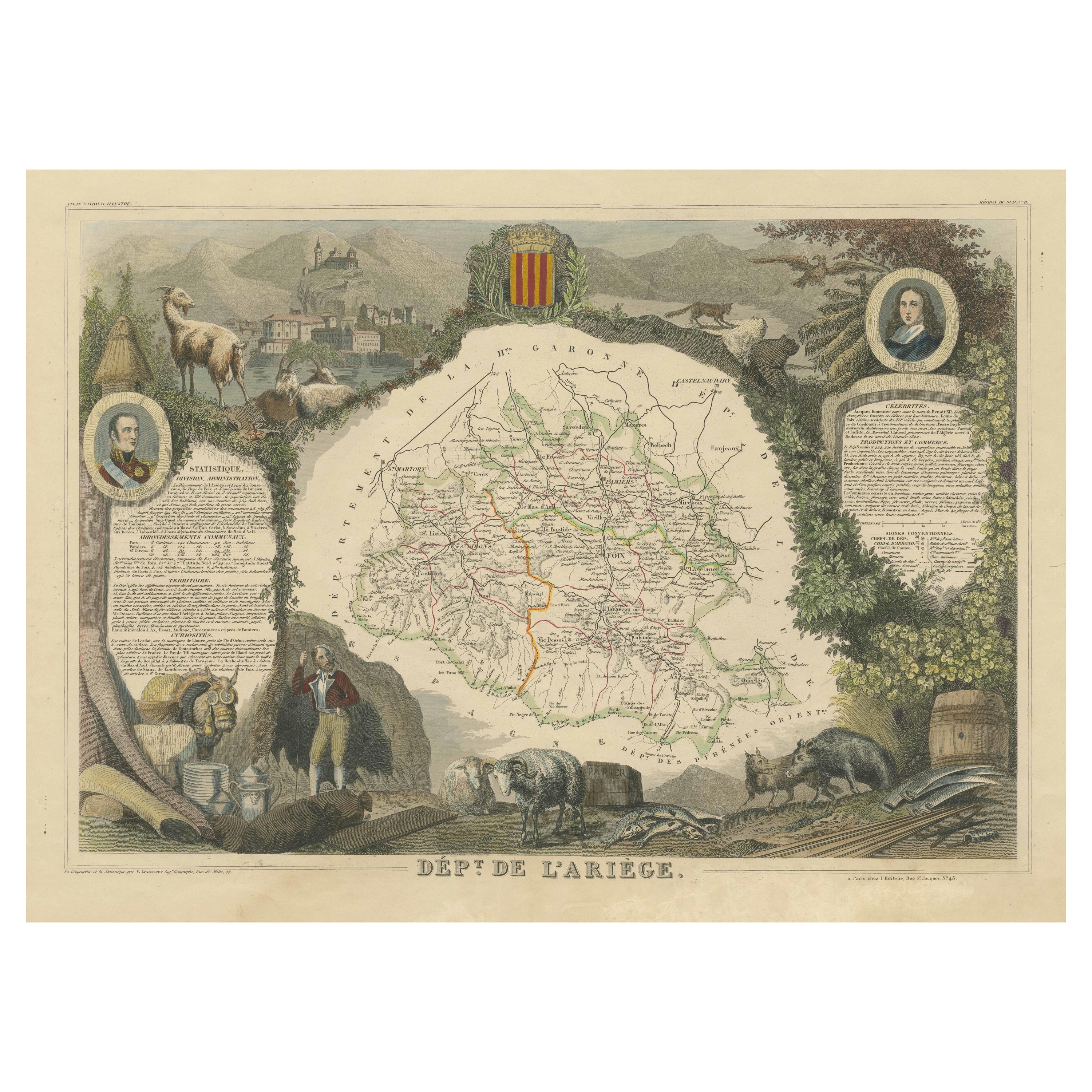
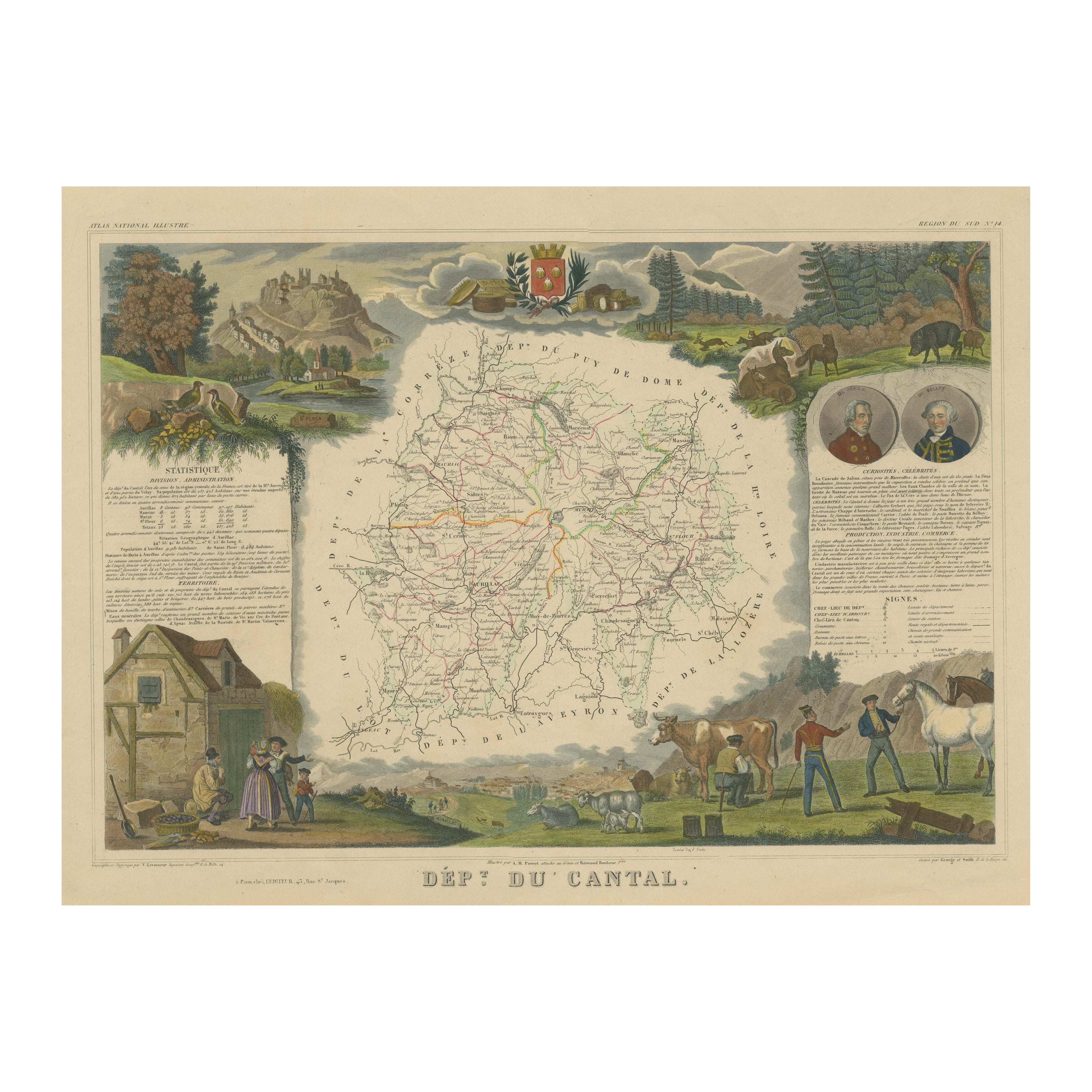
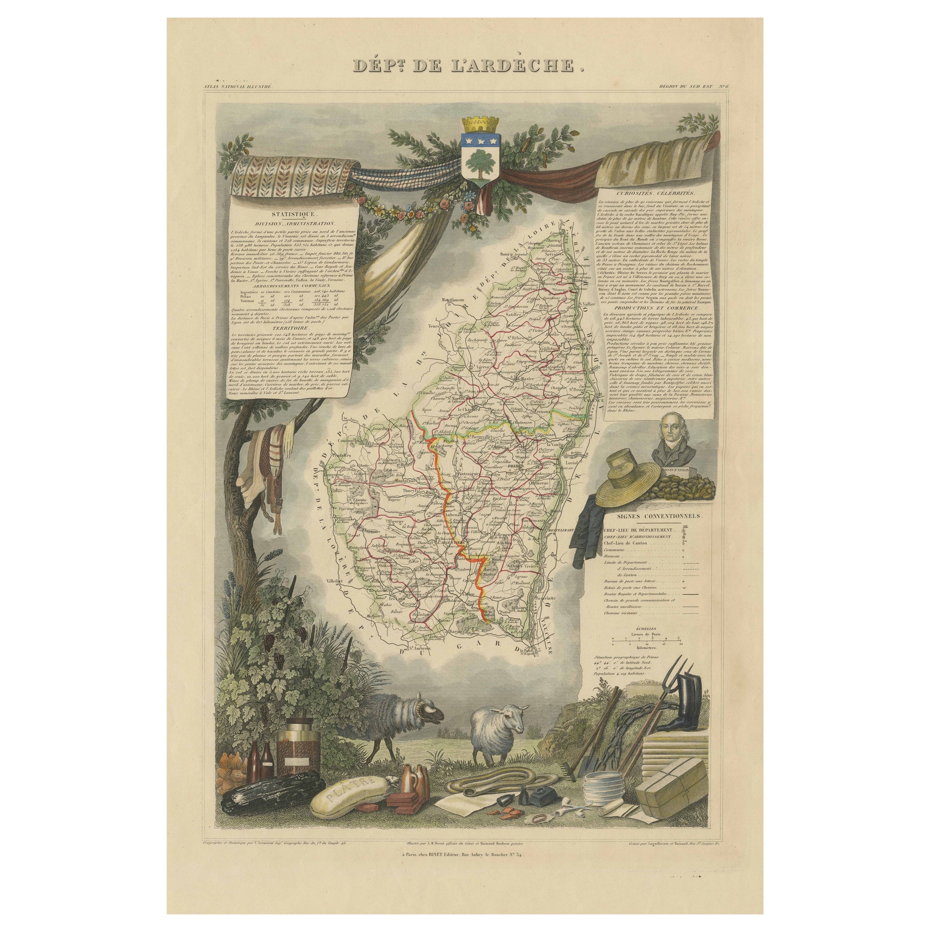
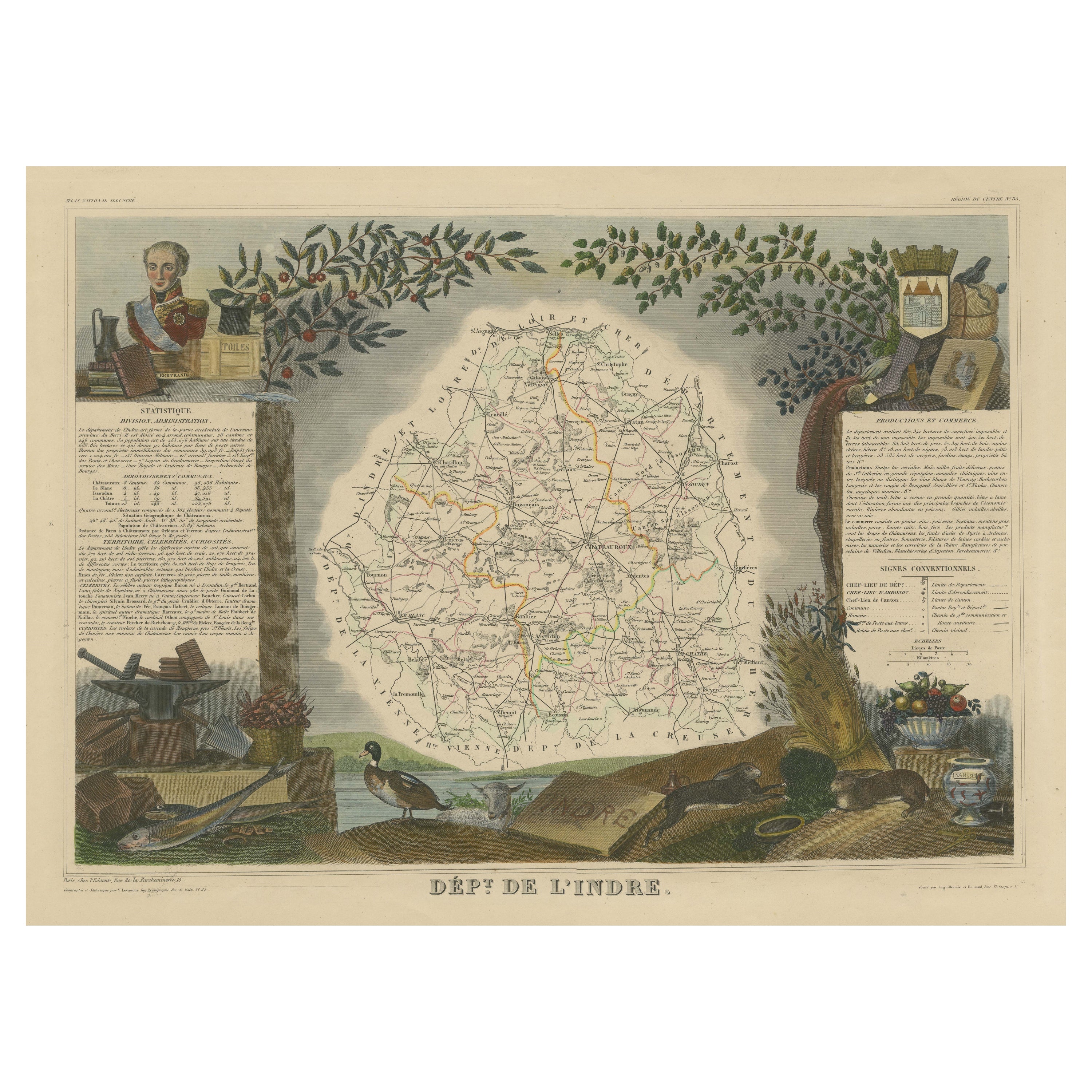
French School Map of Uk, Double-Sided
View Similar Items

1 of 6
French School Map of Uk, Double-Sided
$433.57List Price
About the Item
- Dimensions:Height: 46.66 in (118.5 cm)Width: 38.98 in (99 cm)Depth: 0.79 in (2 cm)
- Materials and Techniques:
- Period:
- Date of Manufacture:Unknown
- Condition:Wear consistent with age and use. All Kingham Decorative items: the very bare minimum of restoration work may have been carried out. This is to ensure we retain the age and history of each piece, preserving the essence of originality and integrity.
- Seller Location:Alton, GB
- Reference Number:Seller: 002341stDibs: LU6819229853652
Authenticity Guarantee
In the unlikely event there’s an issue with an item’s authenticity, contact us within 1 year for a full refund. DetailsMoney-Back Guarantee
If your item is not as described, is damaged in transit, or does not arrive, contact us within 7 days for a full refund. Details24-Hour Cancellation
You have a 24-hour grace period in which to reconsider your purchase, with no questions asked.Vetted Professional Sellers
Our world-class sellers must adhere to strict standards for service and quality, maintaining the integrity of our listings.Price-Match Guarantee
If you find that a seller listed the same item for a lower price elsewhere, we’ll match it.Trusted Global Delivery
Our best-in-class carrier network provides specialized shipping options worldwide, including custom delivery.You May Also Like
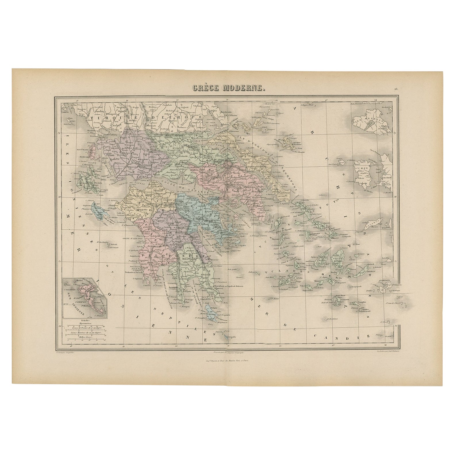
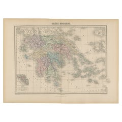
Antique Map of Greece from an Old French School Atlas, 1880
Located in Langweer, NL
Antique map titled 'Grèce Moderne '. Old map of Greece and surroundings. This map originates from 'Géographie Universelle Atlas-Migeon' by J. Migeon. Artists and Engravers: Published...
Category
Antique 19th Century Maps
Materials
Paper
$105 Sale Price
20% Off
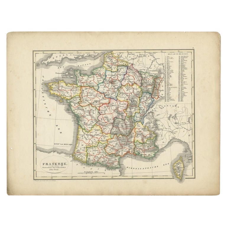
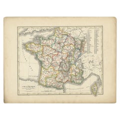
Antique Map of France from an Old Dutch School Atlas, 1852
Located in Langweer, NL
Antique map titled 'Frankrijk'. Map of France. This map originates from 'School-Atlas van alle deelen der Aarde' by Otto Petri. Artists and Engravers: Published by A. Baedeker (Otto ...
Category
Antique 19th Century Maps
Materials
Paper
$114 Sale Price
20% Off
Antique Map of Asia from a German School Atlas, c.1870
Located in Langweer, NL
Antique map titled 'Asien'. Old map of the Asian continent. This map originates from 'H. Kiepert's Kleiner Atlas der Neueren Geographie für Schule und Haus'.
Artists and Engravers:...
Category
Antique 19th Century Maps
Materials
Paper

$137 Sale Price
20% Off
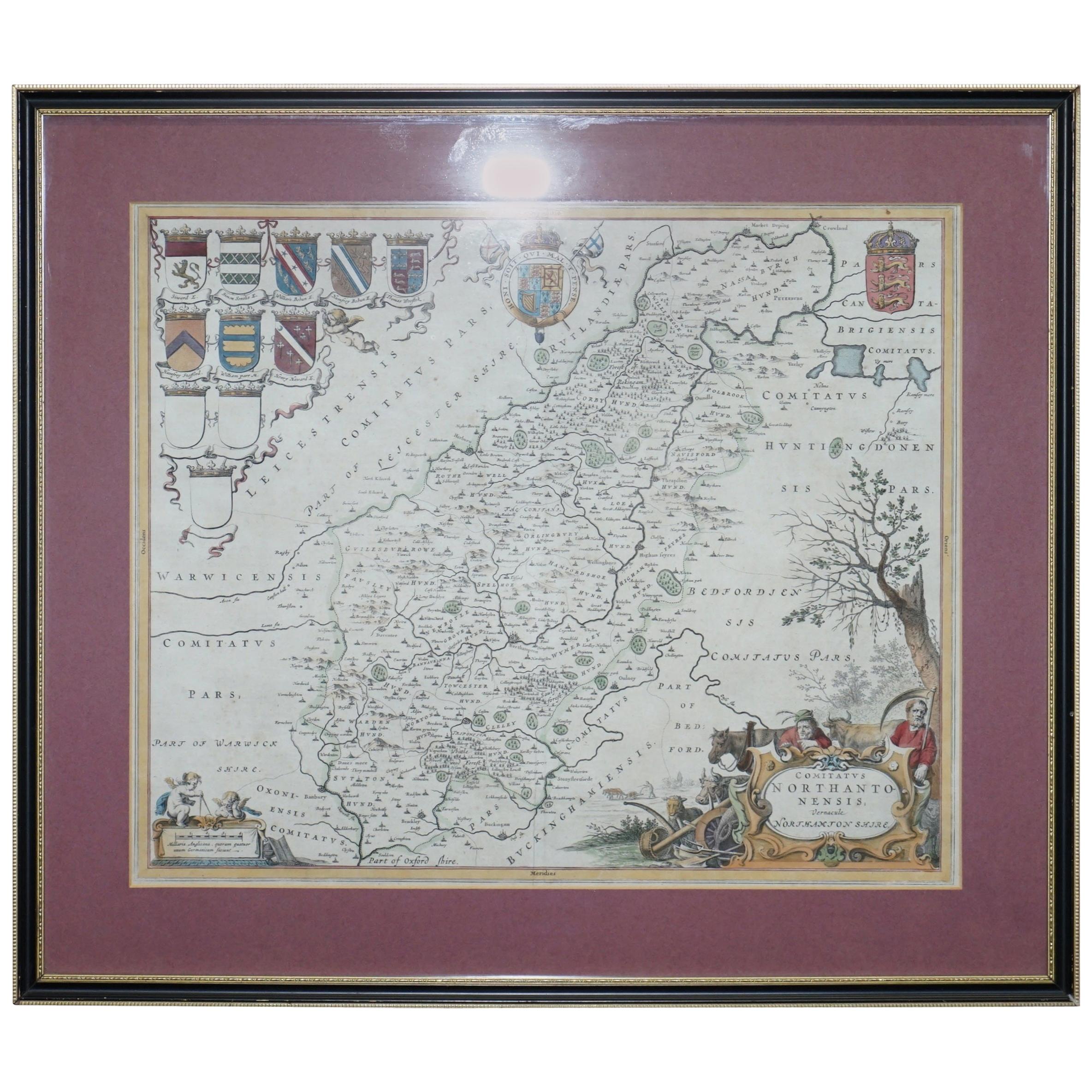
Double Sided Northamptonshire 1645 Hand Colored Antique Print Map Rare Find
Located in West Sussex, Pulborough
We are delighted to this lovely antique Atlas page map of Northamptonshire printed in 1645 Amsterdam Staffordiensis Comitatvs Vulgo
I have three of th...
Category
Antique Early 1800s English Georgian Maps
Materials
Paper

$433 Sale Price
30% Off
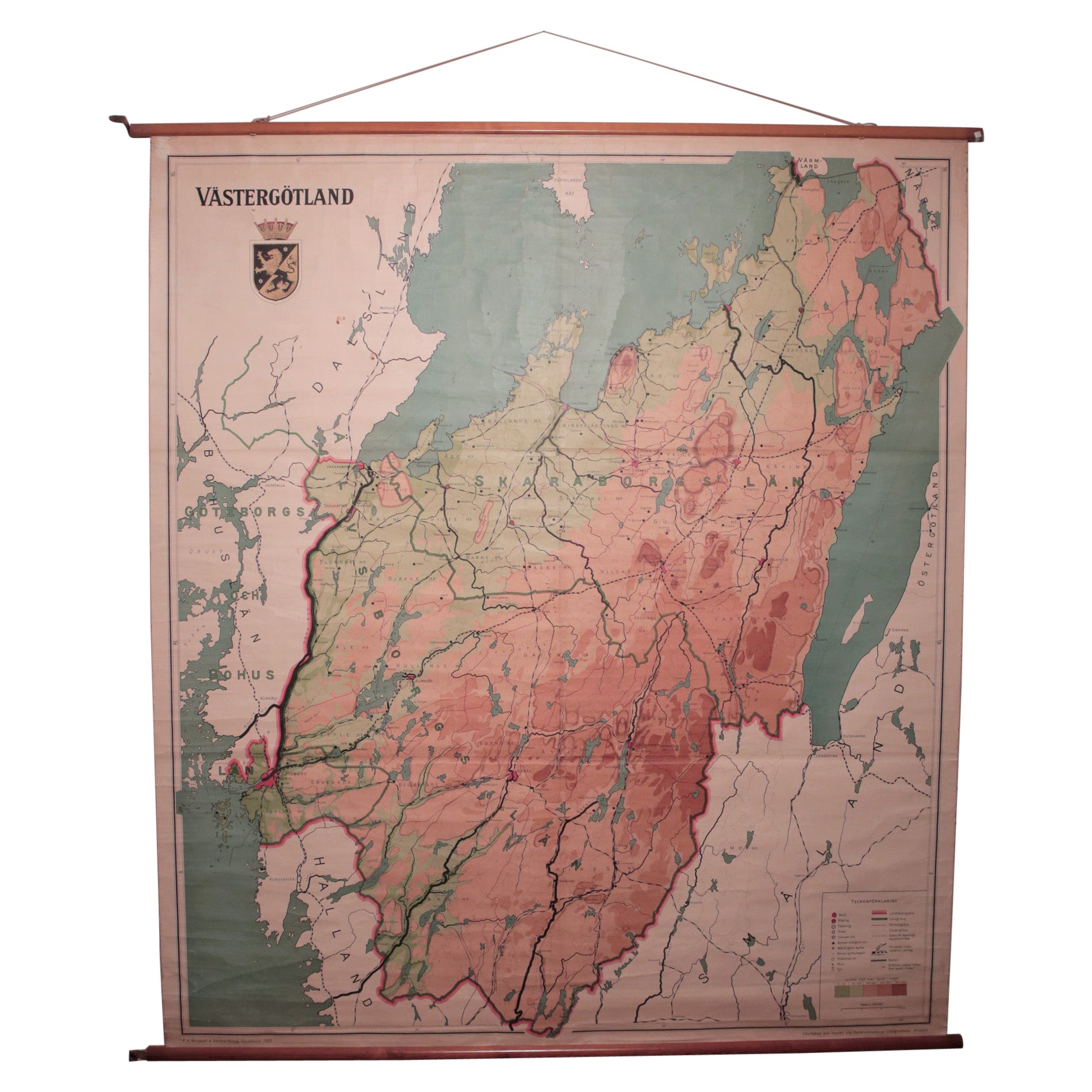
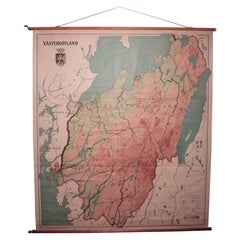
Vintage Swedish School Map of Vastergötland, Made in Sweden 1920
Located in Los Angeles, CA
Vintage Swedish School Map of Vastergötland, Made in Sweden 1920
Västergötland also known as West Gothland or the Latinized version Westrogothia in older literature, is one of the...
Category
Vintage 1920s Swedish Maps
Materials
Linen, Wood, Paper
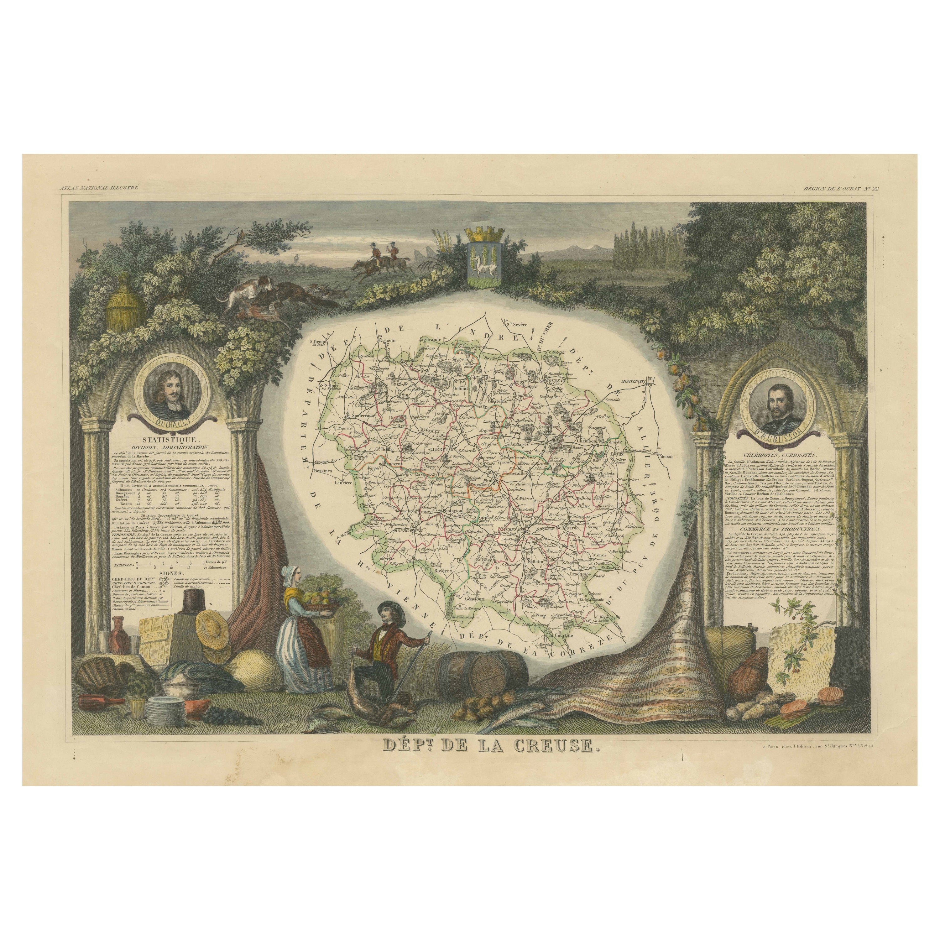
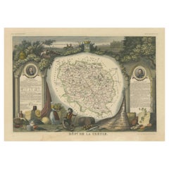
Old Map of the French department of Creuse, France
By Victor Levasseur
Located in Langweer, NL
Antique map titled 'Dépt. de la Creuse'. Map of the French department of Creuse, France. This region is well known for its apple cider made from Limousin apples and its international...
Category
Antique Mid-19th Century Maps
Materials
Paper
$325 Sale Price
20% Off
Recently Viewed
View AllMore Ways To Browse
Antique Maps Of Maryland
Gambia Antique Map
Antique Manitoba
Antique Map Of Brooklyn
Antique Map Of Michigan
Cham Antiques
Map Of Native American Tribes
Antique Furniture Halifax Furniture
Antique Furniture Trinidad
Antique Kiel Furniture
Cornwall Map
Marie Galante
Patagonia Map
Shepherd And Hedger
Vignola Furniture
Washington Dc Map
Antique Map Of Cornwall
Coronelli Globe