Washington Dc Map

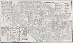
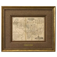
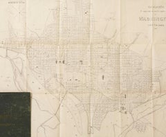
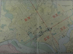
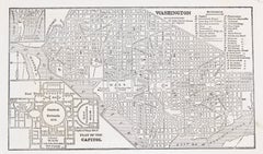
1853 “ Washington” Engraved DC Map from Fanning's Illustrated Gazetteer

1853 “ Washington” Engraved DC Map from Fanning's Illustrated Gazetteer

Located in Colorado Springs, CO

Presented is an original engraved map of Washington, DC, from 1853. The map was published in Fanning’s Illustrated Gazetteer of the United States.

Category

Antique 1850s American Maps

Materials

Paper

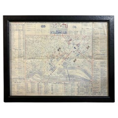
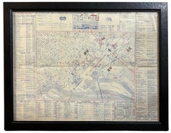
1943 "USO Map Guide to Washington" by Allen F. Free, Published by the U.S.O.

1943 "USO Map Guide to Washington" by Allen F. Free, Published by the U.S.O.

Located in Colorado Springs, CO

This is a WWII map of Washington, DC, issued as a guide for service men and women visiting or working in the city during the war.

Category

Vintage 1940s American Mid-Century Modern Maps

Materials

Paper

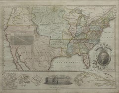
Antique Map of North America by Blackie & Son, Colored, 1882

Antique Map of North America by Blackie & Son, Colored, 1882

Located in Langweer, NL

Blackie, Scotland, 1882 Keywords: North America map, antique North America map, North America 1882, United States map, Canada map, Mexico map, Central America map, British North Ame...

Category

Antique 1880s British Maps

Materials

Paper

Recent Sales

1856 Washington DC Map by Bohn

1856 Washington DC Map by Bohn

Sold

H 22.5 in W 26.75 in D 1.5 in

1856 Washington DC Map by Bohn

Located in Colorado Springs, CO

Because it was a planned city, the early maps of Washington, DC have always been a particularly accurate way to track the development of the nation’s capital.

Category

Antique 1850s American Maps

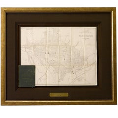
Antique Map of Washington DC, Roose's Companion and Guide Map, 1885

Antique Map of Washington DC, Roose's Companion and Guide Map, 1885

Located in Colorado Springs, CO

The guidebook included 114 pages and this Washington, DC map tipped in at front. The text was written by Samuel D.

Category

Antique 1880s American Maps

Materials

Paper

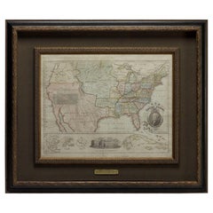
1828 "Map of the United States" by T. Ensign

1828 "Map of the United States" by T. Ensign

Sold

H 36.5 in W 43 in D 2.5 in

1828 "Map of the United States" by T. Ensign

Located in Colorado Springs, CO

It also features a very prominent engraved portrait of George Washington, with inset views and maps of the Capitol, Washington, DC, Boston and a small map of North America.

Category

Antique 1820s American Maps

Materials

Paper

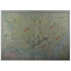
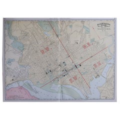
Large Original Antique City Plan of Washington DC, USA, circa 1900

Large Original Antique City Plan of Washington DC, USA, circa 1900

By Rand McNally & Co.

Located in St Annes, Lancashire

Fabulous colorful map of Washington DC Original color By Rand, McNally & Co.

Category

Antique Early 1900s American Maps

Materials

Paper

Large Original Antique City Plan of Washington D.C. USA, 1894

Large Original Antique City Plan of Washington D.C. USA, 1894

By Rand McNally & Co.

Located in St Annes, Lancashire

Fabulous colorful map of Washington DC Original color By Rand, McNally & Co.

Category

Antique 1890s American Maps

Materials

Paper

You May Also Like

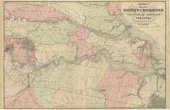
1862 Johnson's Map of the Vicinity of Richmond & Peninsular Campaign, Virginia

1862 Johnson's Map of the Vicinity of Richmond & Peninsular Campaign, Virginia

Located in Langweer, NL

Title: 1862 Johnson's Map of the Vicinity of Richmond & Peninsular Campaign, Virginia Description: This 1862 map titled "Johnson's Map of the Vicinity of Richmond and Peninsular Cam...

Category

Antique 1860s American Maps

Materials

Paper

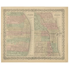
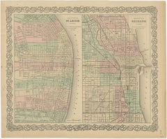
Antique Map of St. Louis and Chicago

Antique Map of St. Louis and Chicago

$138Sale Price|20% Off

H 14.18 in W 17.21 in D 0.02 in

Antique Map of St. Louis and Chicago

Located in Langweer, NL

Antique map titled 'The City of St. Louis Missouri - The City of Chicago Illinois'. Dual map on single page showing St. Louis and Chicago. Finely produced lithograph that was hand co...

Category

Antique Mid-19th Century Maps

Materials

Paper

Old German Map of Northern America with Attractive Hand Colouring, 1864

Old German Map of Northern America with Attractive Hand Colouring, 1864

Located in Langweer, NL

Interesting German map of Northern America in a handsome coloring. Genuine antique hand colored map of North America, with handsome detail, in German detailed, drawn by the famous sk...

Category

Antique 1860s German Maps

Materials

Paper

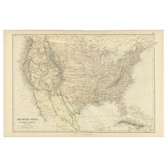
Antique Map of The United States of North America, 1882

Antique Map of The United States of North America, 1882

Located in Langweer, NL

This is a historical map titled "The United States of North America, Central Part" from the 1882 Blackie Atlas. It depicts the continental United States with a high level of detail, ...

Category

Antique 1880s British Maps

Materials

Paper

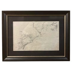
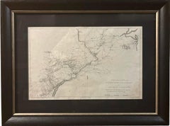
1807 "A Map of the Country..." by Samuel Lewis, Revolutionary War Map

1807 "A Map of the Country..." by Samuel Lewis, Revolutionary War Map

Located in Colorado Springs, CO

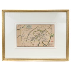
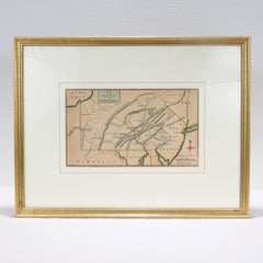
Presented is “A Map of the Country from Rariton River in East Jersey to Elk Head in Maryland, Shewing the several Operations of the American and British Armies, in 1776 & 1777.”  The...

Category

Antique Early 1800s American Federal Maps

Materials

Paper

Large Vintage Maps of the United States, in 3 Sections, 1920

Large Vintage Maps of the United States, in 3 Sections, 1920

$96Sale Price / set|20% Off

H 18 in W 23 in D 0.07 in

Large Vintage Maps of the United States, in 3 Sections, 1920

Located in St Annes, Lancashire

Great maps of the USA in 3 sections Unframed Original color By John Bartholomew and Co. Edinburgh Geographical Institute Published, circa 1920 The measurements given is for just...

Category

Vintage 1920s British Maps

Materials

Paper

Antique 18th Century Map of the Province of Pensilvania 'Pennsylvania State'

Antique 18th Century Map of the Province of Pensilvania 'Pennsylvania State'

Located in Philadelphia, PA

A fine antique of the colony of Pennsylvania. Noted at the top of the sheet as a 'Map of the province of Pensilvania'. This undated and anonymous map is thought to be from the...

Category

Antique 18th Century British American Colonial Maps

Materials

Paper

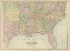
Antique Map of The United States Southern Section by A & C. Black, 1870

Antique Map of The United States Southern Section by A & C. Black, 1870

$231Sale Price|20% Off

H 17.52 in W 23.63 in D 0.02 in

Antique Map of The United States Southern Section by A & C. Black, 1870

Located in Langweer, NL

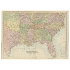
Antique map titled 'United States Southern Section'. Original antique map of Map of The United States Southern Section. This map originates from ‘Black's General Atlas of The World’....

Category

Antique Late 19th Century Maps

Materials

Paper

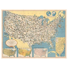
Old Decorative Pictorial Map of the United States, circa 1953

Old Decorative Pictorial Map of the United States, circa 1953

Located in Langweer, NL

Antique map titled 'A Pictorial Map of the United States of America Showing Principal Regional Resources, Products, and Natural Features'. This information-packed map was create by...

Category

20th Century Maps

Materials

Paper

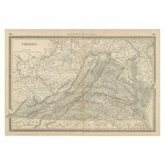
Antique Virginia Map c.1888 – Railroads, Towns & The Old Dominion

Antique Virginia Map c.1888 – Railroads, Towns & The Old Dominion

Located in Langweer, NL

Antique Map of Virginia – Rand McNally, circa 1888 This antique map of Virginia was published by Rand, McNally & Co. around 1888. Drawn from one of their influential late 19th-centu...

Category

Antique Late 19th Century American Maps

Materials

Paper

Original Antique Map of United States, Grattan and Gilbert, 1843

Original Antique Map of United States, Grattan and Gilbert, 1843

$120Sale Price|20% Off

H 11.75 in W 10.25 in D 0.07 in

Original Antique Map of United States, Grattan and Gilbert, 1843

Located in St Annes, Lancashire

Great map of United States Drawn and engraved by Archer Published by Grattan and Gilbert. 1843 Original colour Unframed.

Category

Antique 1840s English Maps

Materials

Paper

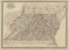
Antique Map of Virginia, Delaware, Maryland & West Virginia by Johnson, 1872

Antique Map of Virginia, Delaware, Maryland & West Virginia by Johnson, 1872

$231Sale Price|20% Off

H 18.12 in W 26.38 in D 0.02 in

Antique Map of Virginia, Delaware, Maryland & West Virginia by Johnson, 1872

Located in Langweer, NL

Antique map titled 'Johnson's Viriginia (..). Original map of Virginia, Delaware, Maryland and West Virginia. This map originates from 'Johnson's New Illustrated Family Atlas of the ...

Category

Antique Late 19th Century European Maps

Materials

Paper

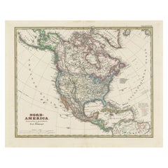
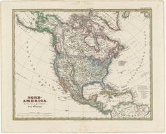
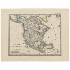
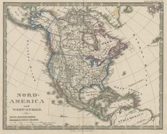
Antique Map of North America and the West Indies by Stieler, circa 1865

Antique Map of North America and the West Indies by Stieler, circa 1865

Located in Langweer, NL

Antique map titled 'Nord-America und West-Indien'. Old map of North America and the West Indies. This map originates from Stieler's 'Schul-Atlas'.

Category

Antique Mid-19th Century Maps

Materials

Paper

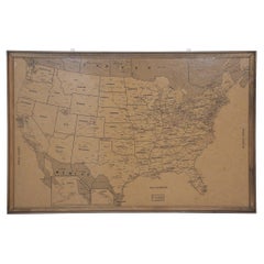
Vintage Framed United States Map

Vintage Framed United States Map

$2,550

H 23.5 in W 35.75 in D 0.5 in

Vintage Framed United States Map

Located in Queens, NY

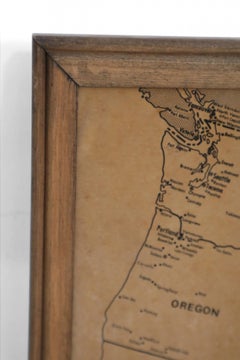
Vintage aged paper map of the United States mounted on particle board and framed in a simple wooden frame.

Category

20th Century American Mid-Century Modern Maps

Materials

Wood, Paper

Antique Map of the United States by Balbi '1847'

Antique Map of the United States by Balbi '1847'

$184Sale Price|20% Off

H 9.06 in W 11.23 in D 0.02 in

Antique Map of the United States by Balbi '1847'

Located in Langweer, NL

Antique map titled 'Etats-Unis'. Original antique map of the United States. This map originates from 'Abrégé de Géographie (..)' by Adrien Balbi. Published 1847.

Category

Antique Mid-19th Century Maps

Materials

Paper

Large Original Antique Map of the United States of America. 1891

Large Original Antique Map of the United States of America. 1891

$72Sale Price|20% Off

H 20.5 in W 13.5 in D 0.07 in

Large Original Antique Map of the United States of America. 1891

By Rand McNally & Co.

Located in St Annes, Lancashire

Fabulous map of The United States Original color By Rand, McNally & Co. Dated 1891 Unframed Free shipping.

Category

Antique 1890s American Maps

Materials

Paper

Get Updated with New Arrivals
Save "Washington Dc Map", and we’ll notify you when there are new listings in this category.

Washington Dc Map For Sale on 1stDibs

Find many varieties of an authentic washington dc map available at 1stDibs. Frequently made of paper, paint and wood, every washington dc map was constructed with great care. Your living room may not be complete without a washington dc map — find older editions for sale from the 18th Century and newer versions made as recently as the 21st Century. A washington dc map, designed in the industrial, mid-century modern or modern style, is generally a popular piece of furniture. A well-made washington dc map has long been a part of the offerings for many furniture designers and manufacturers, but those produced by David Adjaye, Knoll and Leonard Maurer are consistently popular.

Finding the Right Collectibles-curiosities for You

Antique and vintage collectibles and curiosities can bring whimsy and wonder to any interior. 

Decorating with old scientific instruments, historical memorabilia and vintage musical instruments, as well as other authentic collectibles and curiosities that can be found on 1stDibs, presents an opportunity to create a unique, natural history museum-like atmosphere in your home that can provoke conversation as often as it pays tribute to how far we’ve come in understanding our world. 

And bringing collectibles and curiosities into your space is actually on trend — Wunderkammern, or curiosity cabinets, were all the rage in Europe during the 1500s and continued to have adherents there and in the U.S. in the following centuries. Today, however, they’re experiencing a real surge in popularity and influencing how many interior designers are furnishing and decorating homes — combining contemporary with antique, scientific with tribal, earthly with extraterrestrial, Les Lalanne tables with Flemish tapestries.

The original Wunderkammern were entire rooms filled with objects demonstrating their owners’ worldly knowledge: A proper one included artificiala or preciosa (objets d’art); naturalia (such as skeletons, shells, minerals); exotica (taxidermy or dried plants); and scientifica (scientific instruments), frequently alongside religious relics and ancient artifacts.

Pay tribute to a history of rich and diverse musical traditions that have taken shape all over the world by decorating your home with a collection of antique and vintage musical instruments — with a little help from strong hanging wire or some wall hooks, vintage brass instruments such as a gong, French horn or trumpet can help elevate a home office or complement the efforts you’ve made to ensure a welcoming vibe in your home’s entryway. Bells or antique wind instruments can add provocative metallic contrasts to dark woods as tabletop decorative objects.  

Create an intriguing focal point with Georgian scientific instruments, such as stick barometers with mahogany cases or lacquered brass telescopes. These items stem from an era named for the monarchies of the four King Georges, who ruled England in succession starting in 1714 (plus King William’s reign, which lasted until 1837). Just as there was beautiful jewelry produced during the period that today is coveted by collectors, there is much to be found in the collectibles and curiosities realm too.

Wanderlust, nostalgia and a shared love of good design are contributing factors to certain trends in decorating — just as vintage trunks and luggage have reappeared as furniture or home accents in a bedroom or foyer, decorating with globes, maps or nautical objects is similarly rooted in the allure of travel and a penchant for the stylish finishing touch that collectibles bring to our homes.

Find a wide range of antique and vintage collectibles and curiosities on 1stDibs.
Read More