Items Similar to 1862 Johnson's Map of the Vicinity of Richmond & Peninsular Campaign, Virginia
Want more images or videos?
Request additional images or videos from the seller
1 of 6
1862 Johnson's Map of the Vicinity of Richmond & Peninsular Campaign, Virginia
$308.13
$385.1720% Off
£224.16
£280.2020% Off
€256
€32020% Off
CA$420.51
CA$525.6420% Off
A$468.28
A$585.3520% Off
CHF 243.71
CHF 304.6420% Off
MX$5,773.84
MX$7,217.2920% Off
NOK 3,103.88
NOK 3,879.8520% Off
SEK 2,917.35
SEK 3,646.6920% Off
DKK 1,948.28
DKK 2,435.3520% Off
Shipping
Retrieving quote...The 1stDibs Promise:
Authenticity Guarantee,
Money-Back Guarantee,
24-Hour Cancellation
About the Item
Title: 1862 Johnson's Map of the Vicinity of Richmond & Peninsular Campaign, Virginia
Description: This 1862 map titled "Johnson's Map of the Vicinity of Richmond and Peninsular Campaign, Virginia" was published by Johnson and Ward. It depicts the areas around Richmond, Virginia, and the routes involved in the Peninsular Campaign of the American Civil War. This detailed map shows county divisions, rivers, roads, and railroads, making it an invaluable resource for understanding the strategic movements of both Confederate and Union forces during the campaign.
The map highlights key locations like Williamsburg, Yorktown, and Richmond, and includes notable battle sites, military encampments, and points of strategic interest. The pink and green coloration helps distinguish different counties, making the geographical information easier to interpret. Its historical importance is underscored by its compilation from official maps by the War Department, offering a near-contemporary view of military operations during one of the critical campaigns of the Civil War.
Condition:
The map is in good condition, with slight yellowing around the edges typical of documents from the 19th century. The hand-coloring remains vivid, which helps differentiate the counties and areas of importance. A central fold is present, indicating its inclusion in an atlas, but it is well-preserved and does not detract from the clarity of the map. The overall aesthetic, has been maintained without any major tears or visible damage, making it an appealing piece for collectors or those interested in Civil War history.
- Dimensions:Height: 18.12 in (46 cm)Width: 27.96 in (71 cm)Depth: 0.01 in (0.2 mm)
- Materials and Techniques:
- Period:
- Date of Manufacture:1862
- Condition:Condition: Good condition, with light yellowing along the edges, consistent with its age. The central fold, from its original inclusion in an atlas, is evident but well-maintained. The colors are bright.
- Seller Location:Langweer, NL
- Reference Number:Seller: BG-13952-91stDibs: LU3054342436602
About the Seller
5.0
Recognized Seller
These prestigious sellers are industry leaders and represent the highest echelon for item quality and design.
Platinum Seller
Premium sellers with a 4.7+ rating and 24-hour response times
Established in 2009
1stDibs seller since 2017
2,482 sales on 1stDibs
Typical response time: <1 hour
- ShippingRetrieving quote...Shipping from: Langweer, Netherlands
- Return Policy
Authenticity Guarantee
In the unlikely event there’s an issue with an item’s authenticity, contact us within 1 year for a full refund. DetailsMoney-Back Guarantee
If your item is not as described, is damaged in transit, or does not arrive, contact us within 7 days for a full refund. Details24-Hour Cancellation
You have a 24-hour grace period in which to reconsider your purchase, with no questions asked.Vetted Professional Sellers
Our world-class sellers must adhere to strict standards for service and quality, maintaining the integrity of our listings.Price-Match Guarantee
If you find that a seller listed the same item for a lower price elsewhere, we’ll match it.Trusted Global Delivery
Our best-in-class carrier network provides specialized shipping options worldwide, including custom delivery.More From This Seller
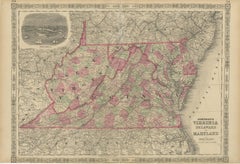
View All1864 Johnson's Map of Virginia, Delaware, and Maryland with Fort Monroe Inset
Located in Langweer, NL
Title: 1864 Johnson's Map of Virginia, Delaware, and Maryland with Fort Monroe Inset
Description: This 1864 map titled "Johnson's Virginia, Delaware, and ...
Category
Antique 1860s Maps
Materials
Paper
$288 Sale Price
20% Off
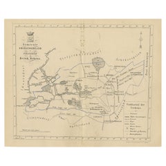
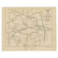
Antique Map of The Dutch Smallingerland Township, 1861
Located in Langweer, NL
Antique map titled 'Gemeente Smallingerland'. Old map depicting the Smallingerland township including cities and villages like Eernewoude, Oudega, Boornbergum, Opeinde and Drachten. ...
Category
Antique 19th Century Maps
Materials
Paper
$96 Sale Price
20% Off
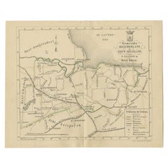
Antique Map of the Menaldumadeel Township by Behrns, 1861
Located in Langweer, NL
Antique map titled 'Gemeente Menaldumadeel'. Old map depicting the Menaldumadeel township including cities and villages like Berlikum, Wier, Menaldum, Dronrijp, Marsum, Engelum, Dein...
Category
Antique 19th Century Maps
Materials
Paper
$85 Sale Price
20% Off
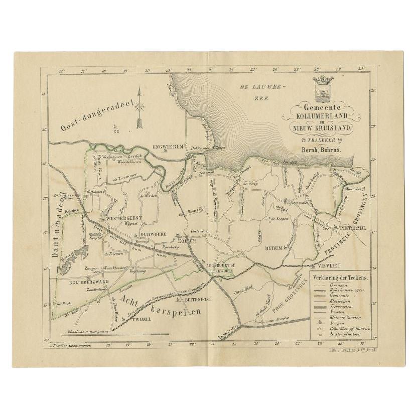
Antique Map of the Kollumerland Township by Behrns, 1861
Located in Langweer, NL
Antique map titled 'Gemeente Kollumerland en Nieuw Kruisland'. Old map depicting the Kollumerland township including cities and villages like Westergeest, Kollum, Kollumerzwaag and B...
Category
Antique 19th Century Maps
Materials
Paper
$85 Sale Price
20% Off
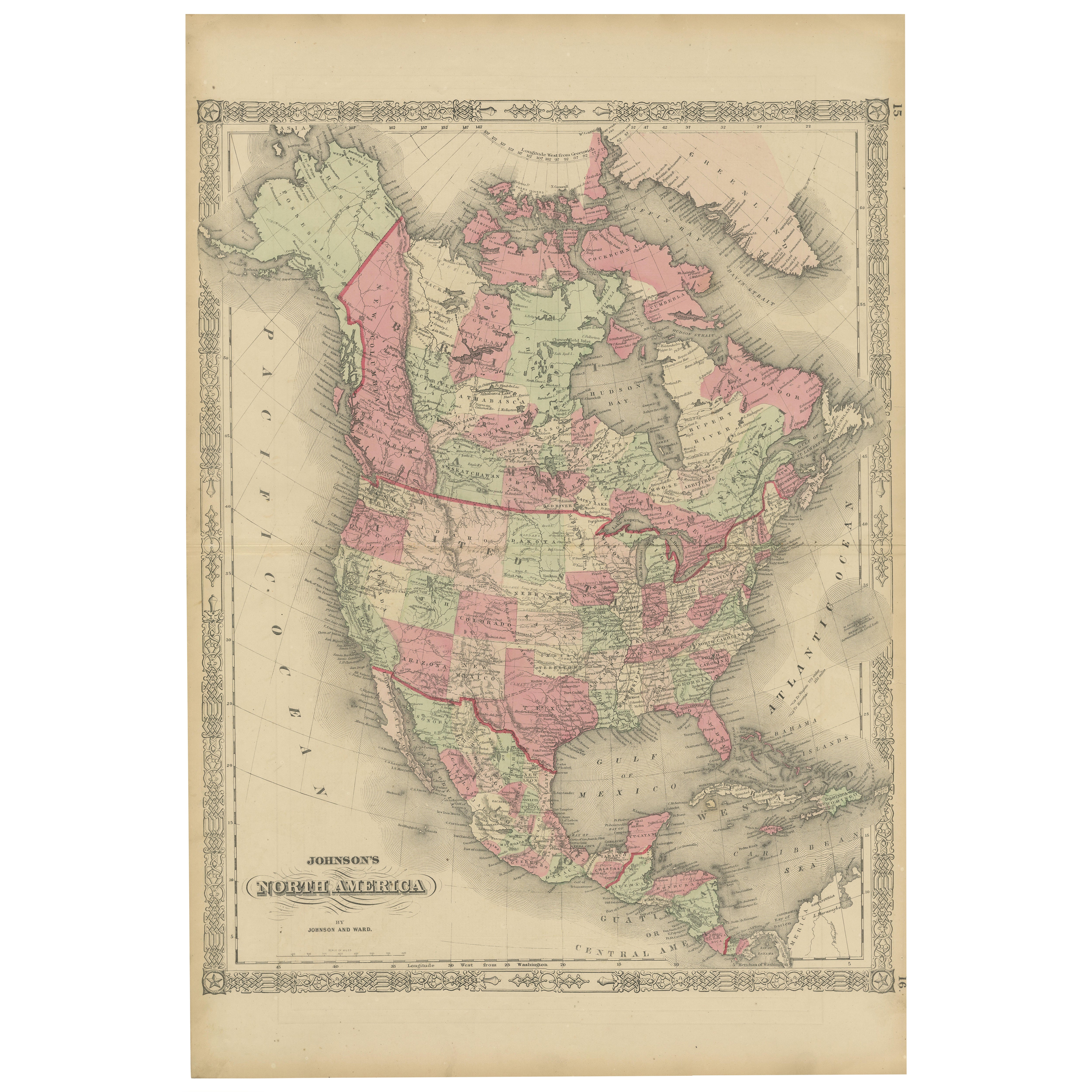
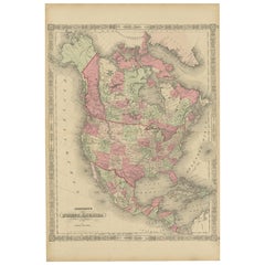
Rare 1864 Civil War Era Map of North America with Detailed Borders
Located in Langweer, NL
Title: Rare 1864 Civil War Era Map of North America with Detailed Borders
Description: This remarkable antique map, titled "Johnson's North America," was published in 1864 by Johnso...
Category
Antique 1860s Maps
Materials
Paper
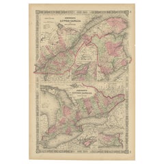
Historic 1864 Civil War Era Map of Canada with Great Lakes Detail
Located in Langweer, NL
Title: Rare 1864 Civil War Era Map of Canada with Great Lakes Detail
Description: This finely detailed antique map, titled "Johnson's Canada," was published in 1864 by Johnson and W...
Category
Antique 1860s Maps
Materials
Paper
You May Also Like
Original Antique English County Map, Buckinghamshire, J & C Walker, 1851
Located in St Annes, Lancashire
Great map of Buckinghamshire
Original colour
By J & C Walker
Published by Longman, Rees, Orme, Brown & Co. 1851
Unframed.
Category
Antique 1850s English Other Maps
Materials
Paper
Vicinity of London, England, United Kingdom. Century Atlas antique map
Located in Melbourne, Victoria
'The Century Atlas. Vicinity of London, England, United Kingdom.'
Original antique map, 1903.
Central fold as issued. Map name and number printed on the reverse corners.
Sheet 29.5...
Category
Early 20th Century Victorian More Prints
Materials
Lithograph

Original Antique English County Map - Monmouthshire. J & C Walker. 1851
Located in St Annes, Lancashire
Great map of Monmouthshire
Original colour
By J & C Walker
Published by Longman, Rees, Orme, Brown & Co. 1851
Unframed.
Category
Antique 1850s English Other Maps
Materials
Paper
Original Antique English County Map, Kent. J & C Walker, 1851
Located in St Annes, Lancashire
Great map of Kent
Original colour
By J & C Walker
Published by Longman, Rees, Orme, Brown & Co. 1851
Unframed.
Category
Antique 1850s English Other Maps
Materials
Paper
Original Antique English County Map, Derbyshire, J & C Walker, 1851
Located in St Annes, Lancashire
Great map of Derbyshire
Original colour
By J & C Walker
Published by Longman, Rees, Orme, Brown & Co. 1851
Unframed.
Category
Antique 1850s English Other Maps
Materials
Paper
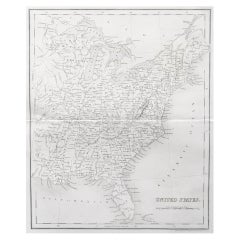
Original Antique Map of The United States of America by Dower, circa 1835
Located in St Annes, Lancashire
Nice map of the USA
Drawn and engraved by J.Dower
Published by Orr & Smith. C.1835
Unframed.
Free shipping
Category
Antique 1830s English Maps
Materials
Paper
More Ways To Browse
Automata
Avocado Chair
Axel Larsen
Baccarat Crystal Ice Bucket
Baccarat Ice Bucket
Baccarat Swans
Bagues Console Table
Baker Desk Chair
Baker Faux Bamboo Chair
Baker French Dining Chairs
Baker French Provincial Dining Table
Baker Furniture Mid Century Club Chair
Baker Stately Home Table
Bamboo Day Bed
Bamboo Ice Bucket
Bamboo Rattan Barstools
Bamboo Valet
Banner Watch