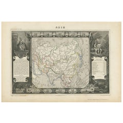
Items Similar to Nicely Decorated Antique Map of Asia, incl Population Figures, 1854


Want more images or videos?
Request additional images or videos from the seller
1 of 5
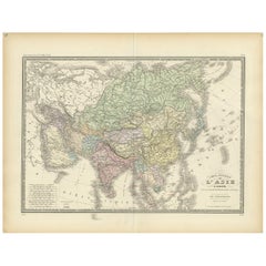
Nicely Decorated Antique Map of Asia, incl Population Figures, 1854
$428.32
$535.4020% Off
£320.60
£400.7520% Off
€360
€45020% Off
CA$588.31
CA$735.3920% Off
A$657.80
A$822.2620% Off
CHF 345.05
CHF 431.3120% Off
MX$7,967.59
MX$9,959.4920% Off
NOK 4,355.53
NOK 5,444.4120% Off
SEK 4,114.92
SEK 5,143.6520% Off
DKK 2,740.78
DKK 3,425.9820% Off
About the Item
Antique map titled 'Asie'. Map of the main Asian continent. The decorated border shows various images, as well as two blocks of statistical text on the continent, including population figures. This map originates from ‘Atlas National de la France Illustré’ by V. Levasseur.
Artists and Engravers: Published by A. Combette, Paris, 1854.
Condition: Very good, given age. Some faint creasing in the margins. Left and right margin edges faintly browned. Some soiling in the lower margin. General age-related toning and/or occasional minor defects from handling. Original border coloring. Please study image carefully.
Date: 1854
Overall size: 52.6 x 36.5 cm.
Image size: 43.3 x 30.5 cm.
We sell original antique maps to collectors, historians, educators and interior decorators all over the world. Our collection includes a wide range of authentic antique maps from the 16th to the 20th centuries. Buying and collecting antique maps is a tradition that goes back hundreds of years. Antique maps have proved a richly rewarding investment over the past decade, thanks to a growing appreciation of their unique historical appeal. Today the decorative qualities of antique maps are widely recognized by interior designers who appreciate their beauty and design flexibility. Depending on the individual map, presentation, and context, a rare or antique map can be modern, traditional, abstract, figurative, serious or whimsical. We offer a wide range of authentic antique maps for any budget.
- Dimensions:Height: 14.38 in (36.5 cm)Width: 20.71 in (52.6 cm)Depth: 0 in (0.01 mm)
- Materials and Techniques:
- Period:
- Date of Manufacture:1854
- Condition:
- Seller Location:Langweer, NL
- Reference Number:Seller: PCT-565321stDibs: LU3054326090462
About the Seller
5.0
Recognized Seller
These prestigious sellers are industry leaders and represent the highest echelon for item quality and design.
Platinum Seller
Premium sellers with a 4.7+ rating and 24-hour response times
Established in 2009
1stDibs seller since 2017
2,565 sales on 1stDibs
Typical response time: <1 hour
- ShippingRetrieving quote...Shipping from: Langweer, Netherlands
- Return Policy
Authenticity Guarantee
In the unlikely event there’s an issue with an item’s authenticity, contact us within 1 year for a full refund. DetailsMoney-Back Guarantee
If your item is not as described, is damaged in transit, or does not arrive, contact us within 7 days for a full refund. Details24-Hour Cancellation
You have a 24-hour grace period in which to reconsider your purchase, with no questions asked.Vetted Professional Sellers
Our world-class sellers must adhere to strict standards for service and quality, maintaining the integrity of our listings.Price-Match Guarantee
If you find that a seller listed the same item for a lower price elsewhere, we’ll match it.Trusted Global Delivery
Our best-in-class carrier network provides specialized shipping options worldwide, including custom delivery.More From This Seller
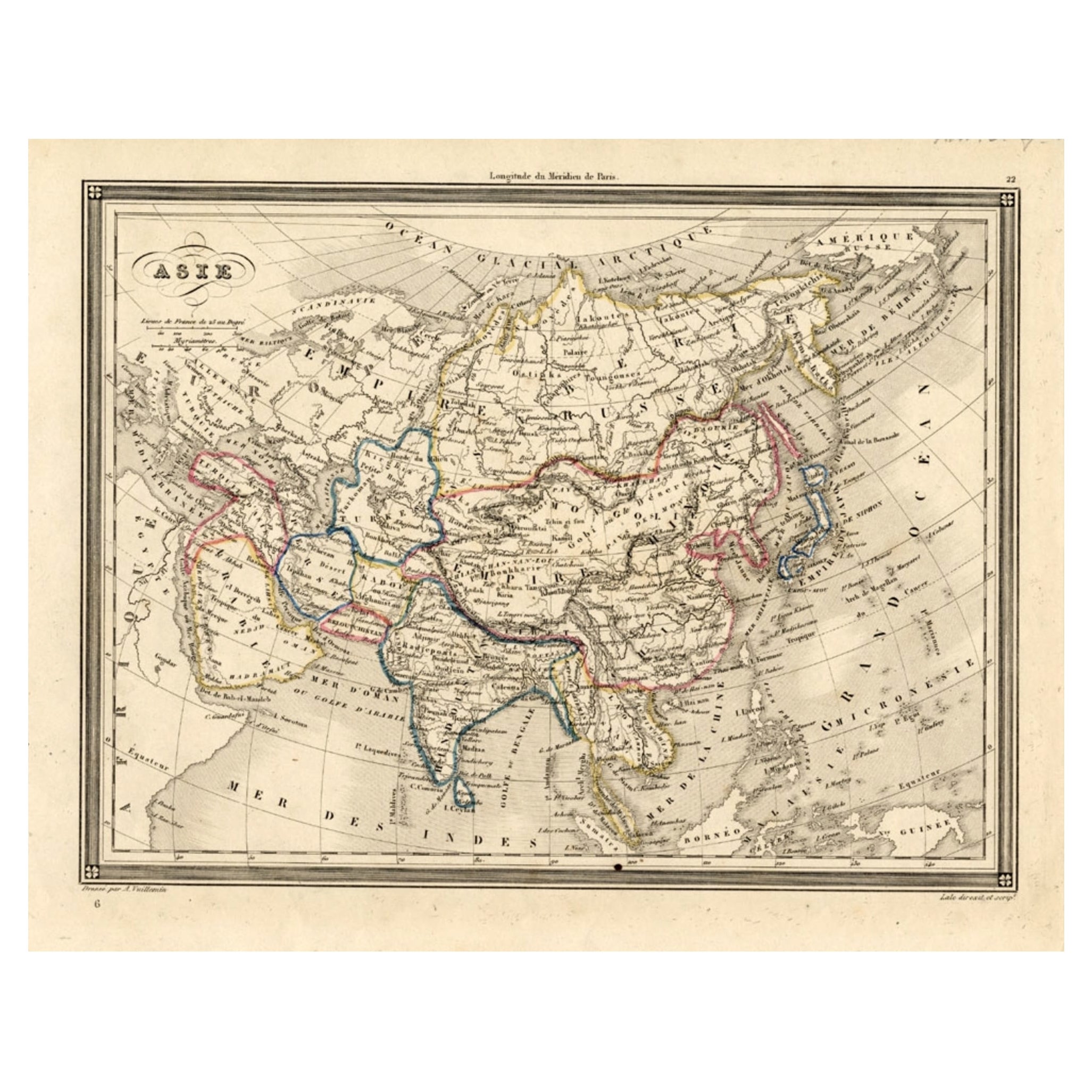
View AllAntique Map of Asia by Lapie, 1842
Located in Langweer, NL
Antique map titled 'Carte de l'Asie'. Map of Asia. This map originates from 'Atlas universel de géographie ancienne et moderne (..)' by Pierre M. Lapie and...
Category
Antique Mid-19th Century Maps
Materials
Paper

$571 Sale Price
20% Off
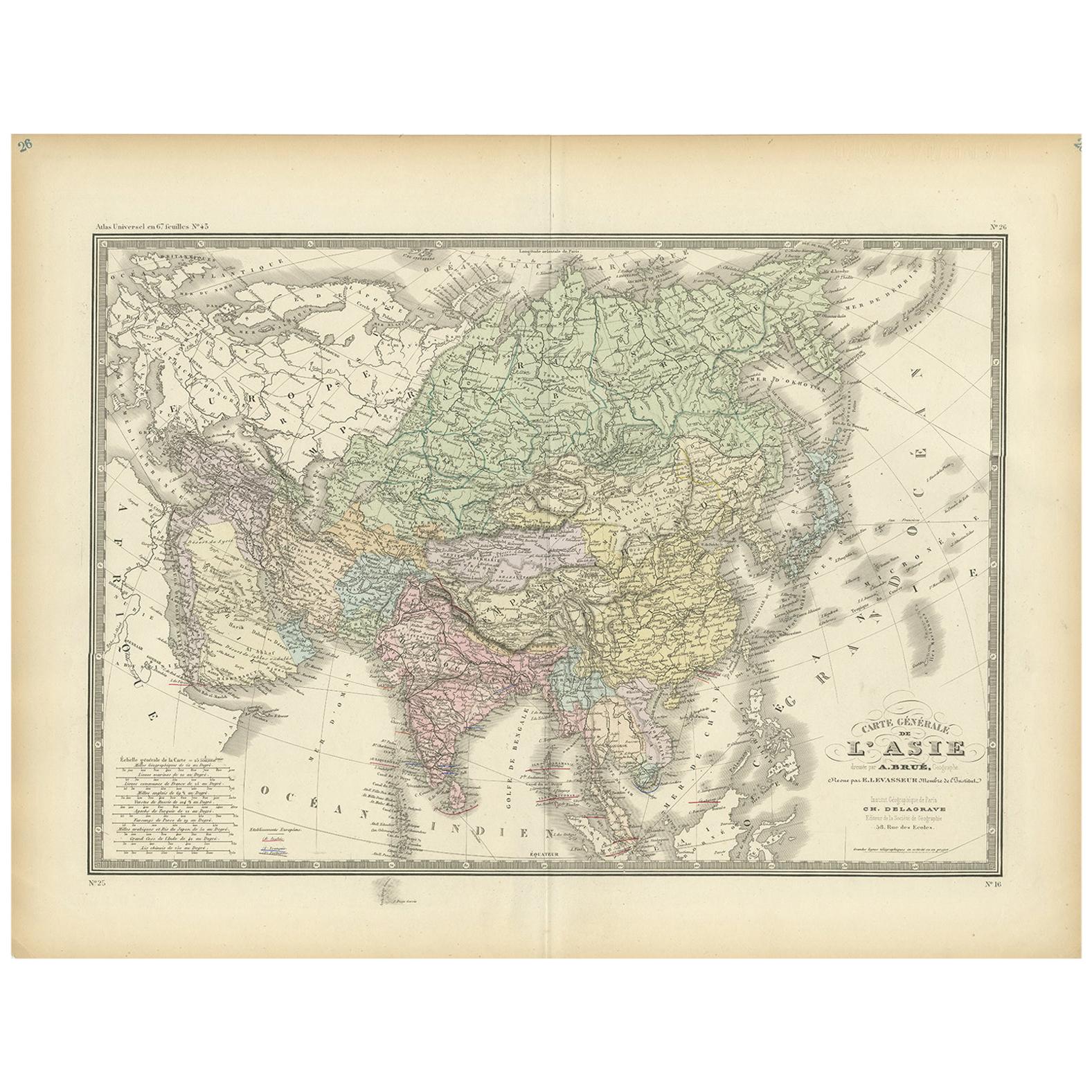
Antique Map of Asia by V. Levasseur, 1854
By Victor Levasseur
Located in Langweer, NL
Antique map titled 'Asie'. Map of the main Asian continent. The decorated border shows various images, as well as two blocks of statistical text on the continent, including populatio...
Category
Antique Mid-19th Century French Maps
Materials
Paper
$245 Sale Price
25% Off
Antique Map of Asia by K. Johnston, circa 1879
Located in Langweer, NL
No. 28 of Keith Johnston's General Atlas. Published by William Blackwood & Sons Edinburgh & London, circa 1879.
Category
Antique Late 19th Century Maps
Materials
Paper

$252 Sale Price
20% Off
Antique Map of Asia, 1846
Located in Langweer, NL
Antique map titled 'Asie'. Original antique map of Asia. Source unknown, to be determined.
Artists and Engravers: Alexandre Vuillemin (1812-188...
Category
Antique 19th Century Maps
Materials
Paper
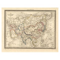
$74 Sale Price
20% Off
Antique Map of the Asian Continent by Levasseur, '1875'
Located in Langweer, NL
Antique map titled 'Carte générale de l'Asie'. Large map of the Asian Continent. This map originates from 'Atlas de Géographie Moderne Physique et Politique' by A. Levasseur. Publish...
Category
Antique Late 19th Century Maps
Materials
Paper
$416 Sale Price
30% Off
Antique Map of Asia by Johnson, 1872
Located in Langweer, NL
Antique map titled 'Johnson's Asia'. Original map of Asia. This map originates from 'Johnson's New Illustrated Family Atlas of the World' by A.J. Johnson. Published, 1872.
Category
Antique Late 19th Century Maps
Materials
Paper

$333 Sale Price
20% Off
You May Also Like
Large Original Antique Map of Asia by Sidney Hall, 1847
Located in St Annes, Lancashire
Great map of Asia
Drawn and engraved by Sidney Hall
Steel engraving
Original colour outline
Published by A & C Black. 1847
Unframed
Free shipping
Category
Antique 1840s Scottish Maps
Materials
Paper

Antique 1803 Italian Map of Asia Including China Indoneseia India
Located in Amsterdam, Noord Holland
Antique 1803 Italian Map of Asia Including China Indoneseia India
Very nice map of Asia. 1803.
Additional information:
Type: Map
Country of Manufacturing: Europe
Period: 19th centu...
Category
Antique 19th Century European Maps
Materials
Paper

$584 Sale Price
20% Off
Super Rare Antique French Map of Chine and the Chinese Empire, 1780
Located in Amsterdam, Noord Holland
Super Rare Antique French Map of Chine and the Chinese Empire, 1780
Very nice map of Asia. 1780 Made by Bonne.
Additional information:
Type: Map
...
Category
Antique 18th Century European Maps
Materials
Paper

$584 Sale Price
32% Off
Original Antique Map of China, Arrowsmith, 1820
Located in St Annes, Lancashire
Great map of China
Drawn under the direction of Arrowsmith
Copper-plate engraving
Published by Longman, Hurst, Rees, Orme and Brown, 1820
Unfr...
Category
Antique 1820s English Maps
Materials
Paper

Large Original Vintage Map of S.E Asia, with a Vignette of Singapore
Located in St Annes, Lancashire
Great map of South East Asia
Original color. Good condition
Published by Alexander Gross
Unframed.
Category
Vintage 1920s English Maps
Materials
Paper

Antique French Map of Asia Including China Indoneseia India, 1783
Located in Amsterdam, Noord Holland
Very nice map of Asia. 1783 Dedie au Roy.
Additional information:
Country of Manufacturing: Europe
Period: 18th century Qing (1661 - 1912)
Condition: Overall Condition B (Good Used)...
Category
Antique 18th Century European Maps
Materials
Paper

$648 Sale Price
20% Off
More Ways To Browse
Birds Eye View Map
Old School Maps
Joan Blaeu
Antique Nautical Maps
Antique Portuguese Plates
Antique Maps California
New Zealand Map
Antique Railroad Collectibles
Blaeu World Map
Roman Empire Map
Antique Map Of Middle East
Caribbean Map
Antique Map Of Egypt
Antique Map Ortelius
Antique Farm Antiques Collectibles
Antique Galleon
Biblical Maps
Medieval Capital