Items Similar to Antique Map of the Ancient City of Jerusalem by A. Calmet, 1725

Want more images or videos?
Request additional images or videos from the seller
1 of 5
Antique Map of the Ancient City of Jerusalem by A. Calmet, 1725
$249.21
$311.5220% Off
£185.49
£231.8620% Off
€208
€26020% Off
CA$341.36
CA$426.7020% Off
A$379.67
A$474.5820% Off
CHF 198.25
CHF 247.8120% Off
MX$4,620.15
MX$5,775.1920% Off
NOK 2,531.96
NOK 3,164.9520% Off
SEK 2,374.53
SEK 2,968.1720% Off
DKK 1,583.43
DKK 1,979.2920% Off
Shipping
Retrieving quote...The 1stDibs Promise:
Authenticity Guarantee,
Money-Back Guarantee,
24-Hour Cancellation
About the Item
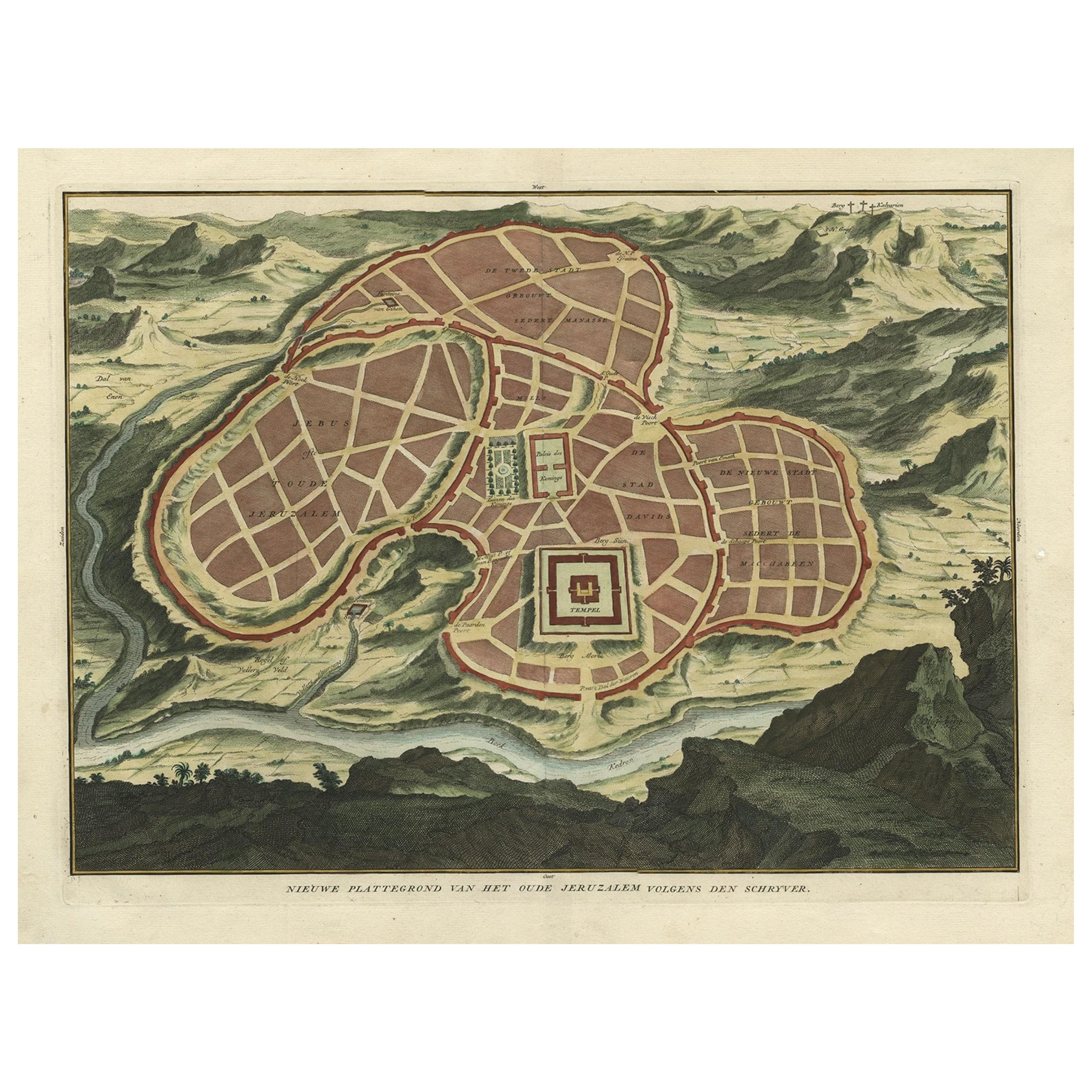
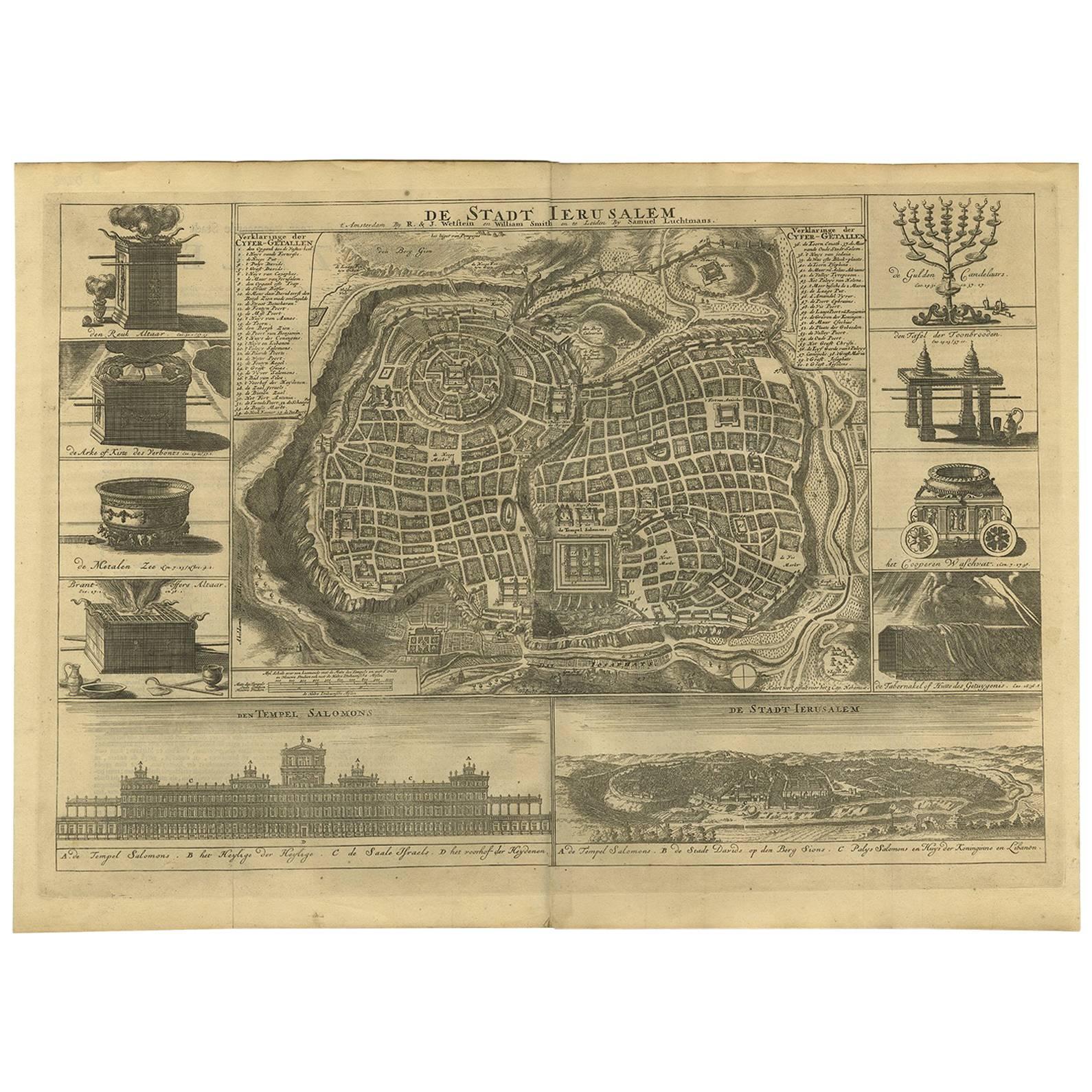
Antique map, titled: 'Nieuwe Plattegrond van het Oude Jeruzalem Volgens den Schryver.' - Bird's-eye view of the ancient city of Jerusalem shows its divisions with prominent depictions of the Temple of Solomon and the royal palace and gardens. The map is oriented with west at top, with the Calvary outside the city walls at top right.
This plate originates from: 'Het algemeen groot historisch, oordeelkundig, chronologisch, geografisch, en letterlyk naam- en woord-boek, van den gantschen H. Bijbel. Dienende tot de gedenk-stukken der Jooden en andere oudheden, ter opheldering der H. Schrift ... Nu in't Nederduitsch overgezet, merkelyk vermeerdert, en met aanmerkingen verrykt, door Mattheus Gargon.' and it's additons: 'Byvogzel tot het algemeen groot ... Naam- en woord-boek ... En nu in zuiver Nederduitsch overgezet, merkelyk vermeerdert, en metv aanmerkingen verrykt, door Jakob van Ostade en Arn. Henr. Westerhovius.', by Augustines Calmet, published in Leiden, Amsterdam, by Samuel Luchtmans, R. & J. Wetstein en Smith 1725-1731. This is a reknown encyclopaedic dictionary on all aspects of the history, geography and culture of the Bible and Biblical times. This Dutch translation originates from Calmet's work in French including: 'Commentaire littéral sur tous les livres de l'Ancien et du Nouveau Testament ...', first published in Paris in 1707.
- Dimensions:Height: 15.71 in (39.9 cm)Width: 18.39 in (46.7 cm)Depth: 0.02 in (0.5 mm)
- Materials and Techniques:
- Period:
- Date of Manufacture:1725
- Condition:Please study image carefully.
- Seller Location:Langweer, NL
- Reference Number:Seller: BGI-010801stDibs: LU305439891221
About the Seller
5.0
Recognized Seller
These prestigious sellers are industry leaders and represent the highest echelon for item quality and design.
Platinum Seller
Premium sellers with a 4.7+ rating and 24-hour response times
Established in 2009
1stDibs seller since 2017
2,502 sales on 1stDibs
Typical response time: <1 hour
- ShippingRetrieving quote...Shipping from: Langweer, Netherlands
- Return Policy
Authenticity Guarantee
In the unlikely event there’s an issue with an item’s authenticity, contact us within 1 year for a full refund. DetailsMoney-Back Guarantee
If your item is not as described, is damaged in transit, or does not arrive, contact us within 7 days for a full refund. Details24-Hour Cancellation
You have a 24-hour grace period in which to reconsider your purchase, with no questions asked.Vetted Professional Sellers
Our world-class sellers must adhere to strict standards for service and quality, maintaining the integrity of our listings.Price-Match Guarantee
If you find that a seller listed the same item for a lower price elsewhere, we’ll match it.Trusted Global Delivery
Our best-in-class carrier network provides specialized shipping options worldwide, including custom delivery.More From This Seller
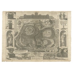
View AllAntique Map of Ancient Jerusalem, depicting The Temple of Solomon, c.1725
Located in Langweer, NL
Antique map titled 'Nieuwe Plattegrond van het Oude Jeruzalem Volgens den Schryver.'
Bird's-eye view of the ancient city of Jerusalem shows its divisions with prominent depiction...
Category
Antique 18th Century Maps
Materials
Paper

$814 Sale Price
20% Off
Spectacular Antique Original Engraving of a Town Plan of Jerusalem, 1708
Located in Langweer, NL
Description: Antique map titled 'Erster Abriss der Stadt Jerusalem wie sie Furnemblich zur Zeit des Hernn Christi beschaffen (..).'
Spectacular town plan...
Category
Antique Early 1700s Maps
Materials
Paper

$1,294 Sale Price
20% Off
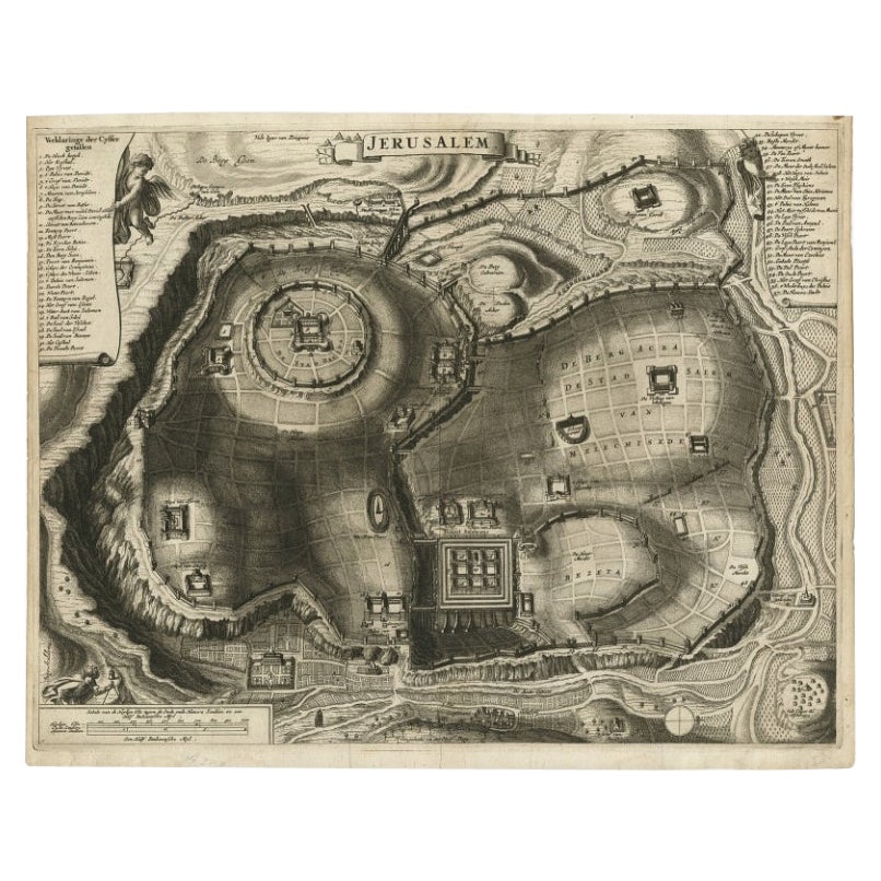
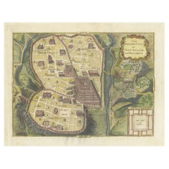
Antique Detailed Map of Jerusalem in Israël with Extensive Key and Scale, 1698
Located in Langweer, NL
Antique map titled 'Jerusalem.'
Plan of the ancient city of Jerusalem. With extensive key and scale. Source unknown, to be determined.
Artists and Engravers: Made by 'Cornelis de...
Category
Antique 17th Century Maps
Materials
Paper

$623 Sale Price
20% Off
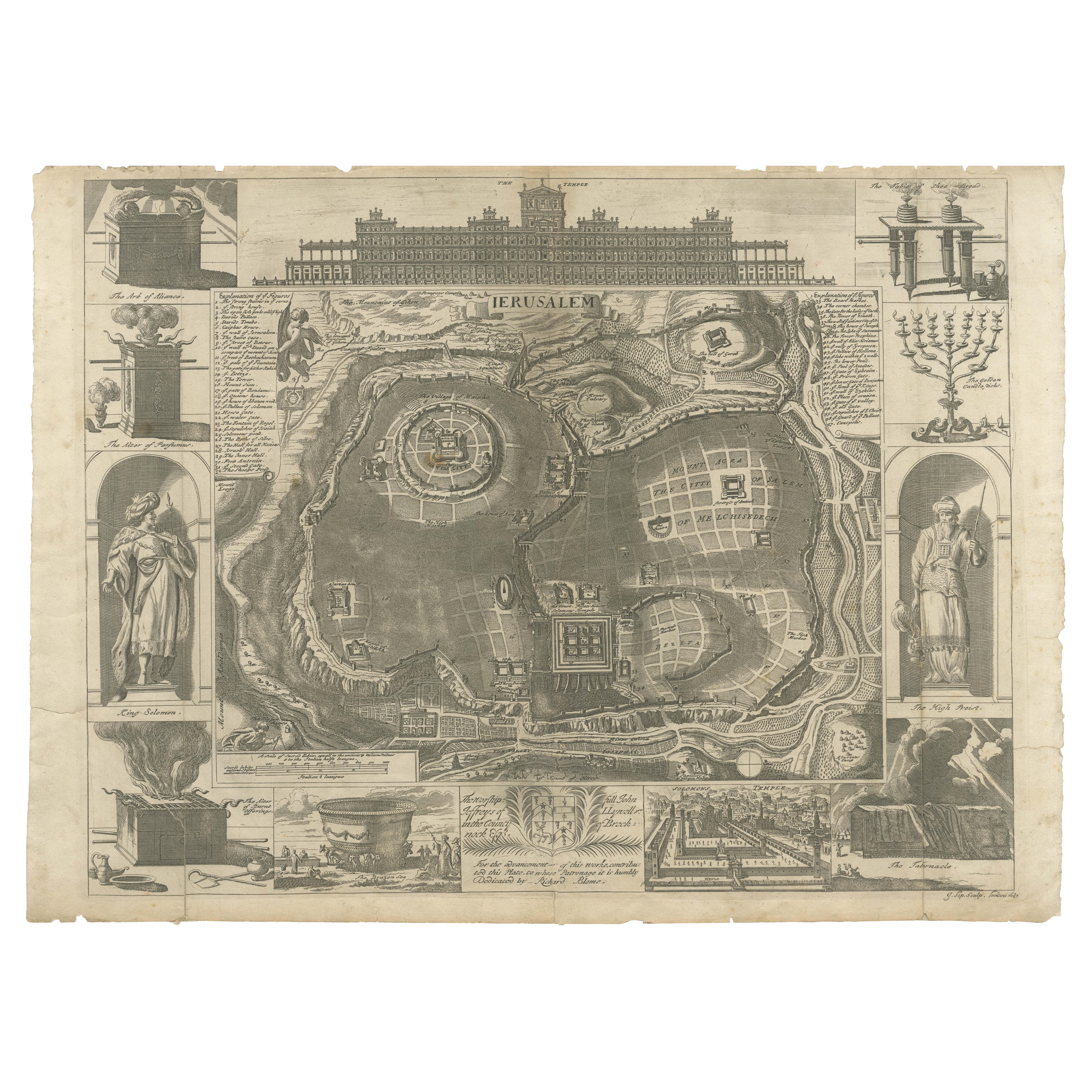
Jerusalem and Temple Imaginary Map by Blome, Published London 1689
Located in Langweer, NL
Imaginary Plan of Jerusalem by Blome after Villalpando, 1689
This impressive antique engraving presents an imaginary plan of Jerusalem by Richard Blome, published in 1689. The engra...
Category
Antique Late 17th Century English Maps
Materials
Paper
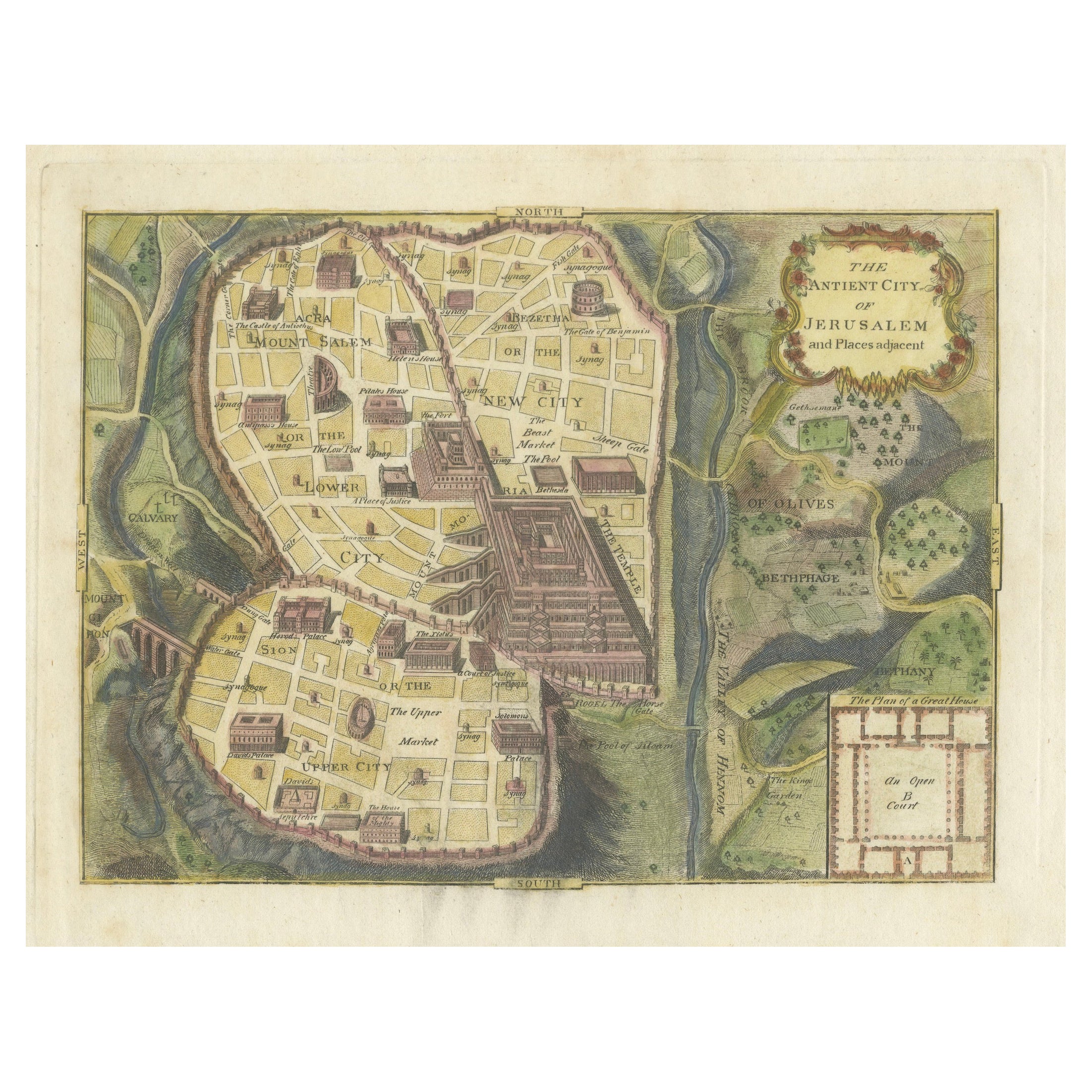
The Antient City of Jerusalem and Places Adjacent, Hand-Colored Map, 1699
Located in Langweer, NL
Title: "1699 Hand-Colored Bird's-Eye Plan of Jerusalem with Ancient and Biblical Landmarks"
This beautifully hand-colored, imaginary bird's-eye plan of Jerusalem, published in 1699,...
Category
Antique 1690s Maps
Materials
Paper
$249 Sale Price
20% Off
Antique Bible Plan of Ancient Jerusalem, 1743
Located in Langweer, NL
This plan originates from ‘Biblia Sacra, dat is, de H. Schriftuer van het Oude, en het Nieuwe Testament, naer de laetste Roomsche keure der gemeine Latijnsche overzettinge, in nederd...
Category
Antique Mid-18th Century Maps
Materials
Paper

$819 Sale Price
37% Off
You May Also Like
17th Century Topographical Map of Cote D'azur, Avignon, Frejus by Iohan Peeters
Located in New York, NY
Fine topographical 17th century map by Iohan Peeters of the towns of Avignon and Frejus in the Cote d'Azur-Provence-Alpes Region of Southeastern France.
Beautifully suited decorativ...
Category
Antique 17th Century Dutch Maps
Materials
Paper

18th Century Map Engraving - Plan of the Works of the City of Messina, Sicily
Located in Corsham, GB
A map of Messina, a harbour city in northeast Sicily. Inscribed with the title in plate to the lower edge, 'Plan of the Works of the City of Messina, one of the strongest and most co...
Category
18th Century More Prints
Materials
Engraving

$285 Sale Price
20% Off
Original Antique Map or City Plan of Geneva, Switzerland. Circa 1835
Located in St Annes, Lancashire
Nice map of Geneva
Drawn and engraved by J.Dower
Published by Orr & Smith. C.1835
Unframed.
Free shipping
Category
Antique 1830s English Maps
Materials
Paper

18th Century French Map and City View of Joppe/Jaffa (Tel Aviv) by Sanson
By Nicholas Sanson d'Abbeville
Located in Alamo, CA
An original antique engraving entitled "Joppe; in ’t Hebreeusch by ouds Japho; hedendaags Japha, of Jaffa; volgens d’aftekening gedaan 1668", by Nicholas Sanson d'Abbeville (1600 - 1667). This is a view of the city of Joppe (in Hebrew Japho), now called Japha or Jaffa, the harbor portion of modern day Tel Aviv, Israel as it appeared in 1668 . It depicts a very busy harbor with numerous boats. A large ship on the left appears to be firing its canons and a small ship on the right appears to be sitting very low in the water, either heavily loaded with cargo or sinking. The town is seen on the far shore with a fortress on a hill across in the background. The map is printed from the original Sanson copperplate and was published in 1709 by his descendants.
The map is presented in an ornate brown wood frame embellished by gold-colored leaves and gold inner trim with a double mat; the outer mat is cream-colored and the inner mat is black. There is a central vertical fold, as issued. There are two small spots in the lower margin and one in the upper margin, as well as two tiny spots adjacent to the central fold. 1717 is written below the date 1668 in the inscription. The map is otherwise in very good condition.
Another map of the "Holy Land" (by Claes Visscher in 1663), with an identical style frame and mat is available. This pair of maps would make a wonderful display grouping. Please see Reference #LU117324709892.
Artist: Nicholas Sanson d'Abbeville (1600 - 1667) and his descendents were important French cartographer's active through the 17th century. Sanson started his career as a historian and initially utilized cartography to illustrate his historical treatises. His maps came to the attention of Cardinal Richelieu and then King Louis XIII of France, who became a supporter and sponsor. He subsequently appointed Sanson 'Geographe Ordinaire du Roi' the official map maker to the king. Sanson not only created maps for the king, but advised him on geographical issues and curated his map collection...
Category
Early 1700s Prints and Multiples
Materials
Engraving

17th-18th Century Siege of Graves Mapping Engraving By Willian III
Located in Kingston, NY
RARE French 17th-18th Century Enhanced Siege of Graves Mapping Engraving BY William III, also widely known as William of Orange,
The Siege of Grave in Dutch Brabant started by Monsie...
Category
Antique 17th Century French Prints
Materials
Paper

Original Antique Map or City Plan of Madrid, Spain. Circa 1835
Located in St Annes, Lancashire
Nice map of Madrid
Drawn and engraved by J.Dower
Published by Orr & Smith. C.1835
Unframed.
Free shipping
Category
Antique 1830s English Maps
Materials
Paper

More Ways To Browse
Ancient Bible
Georgian Cellarette
German Tankards
German Tin Toys
Giacometti Bust
Ginori Floral
Gio Ponti Bar Cart
Gold Iron Bed
Greek Oil Jar
Hampton And Sons
Hotel Silver Tea Set
Jansen Drinks Table
Limoges France Tea Set
Mercury Pendulum Clock
P110 Canada
Pair Brass Cranes
Pair Bronze Cranes
Pair Of Recumbent Lions