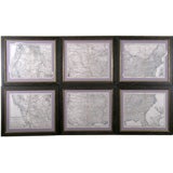
Set of 6 Maps the United States
View Similar Items


1 of 1
Set of 6 Maps the United States
$2,100List Priceper set
About the Item
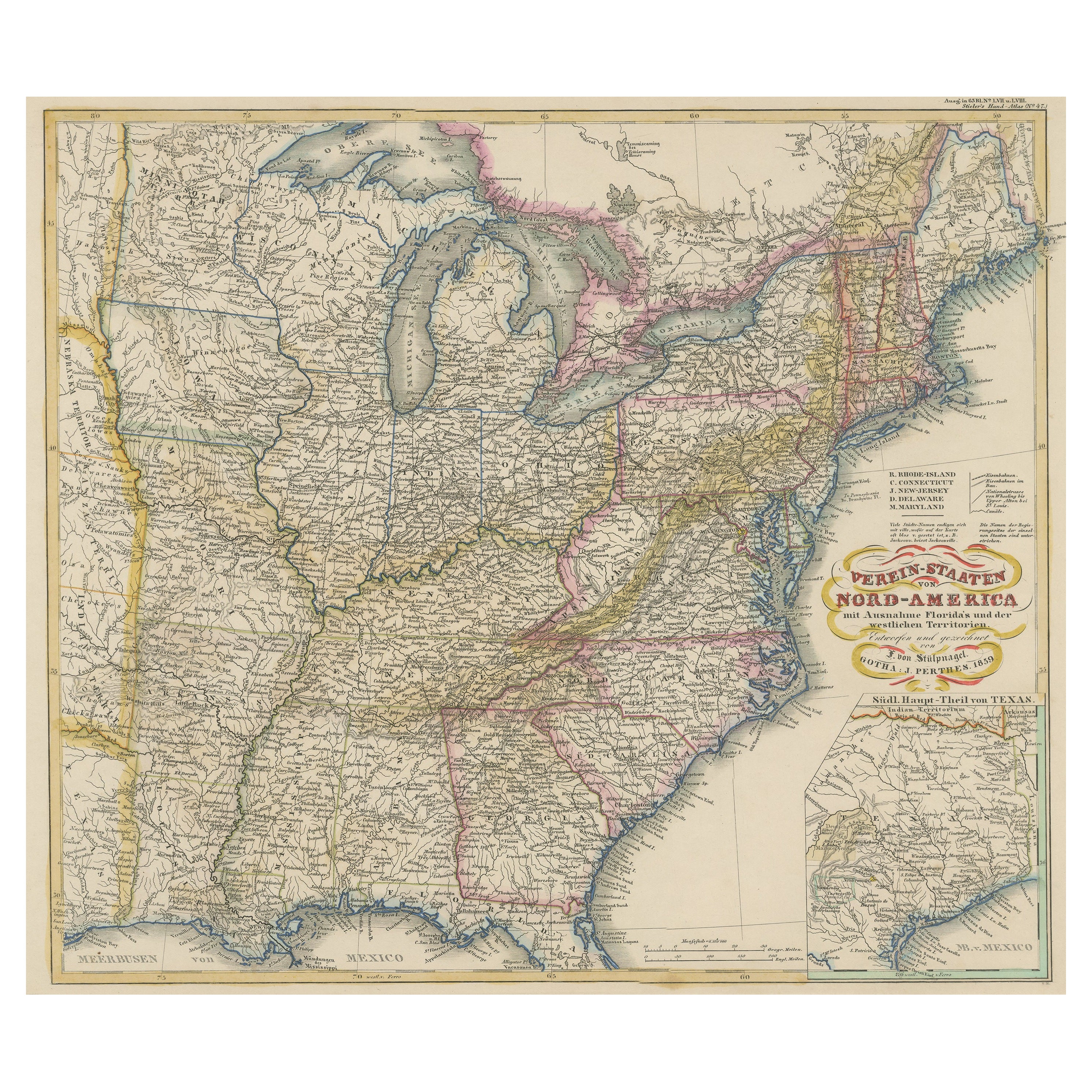
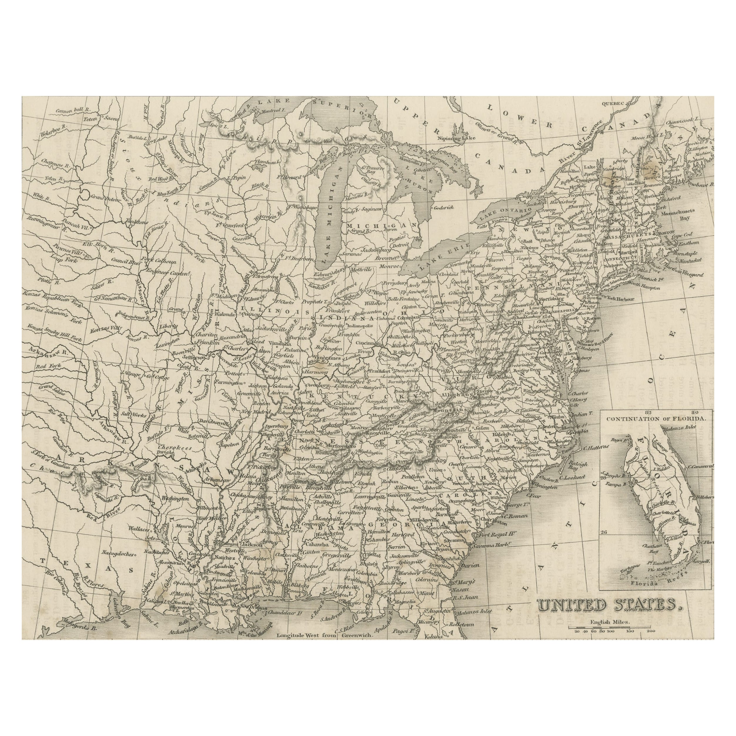
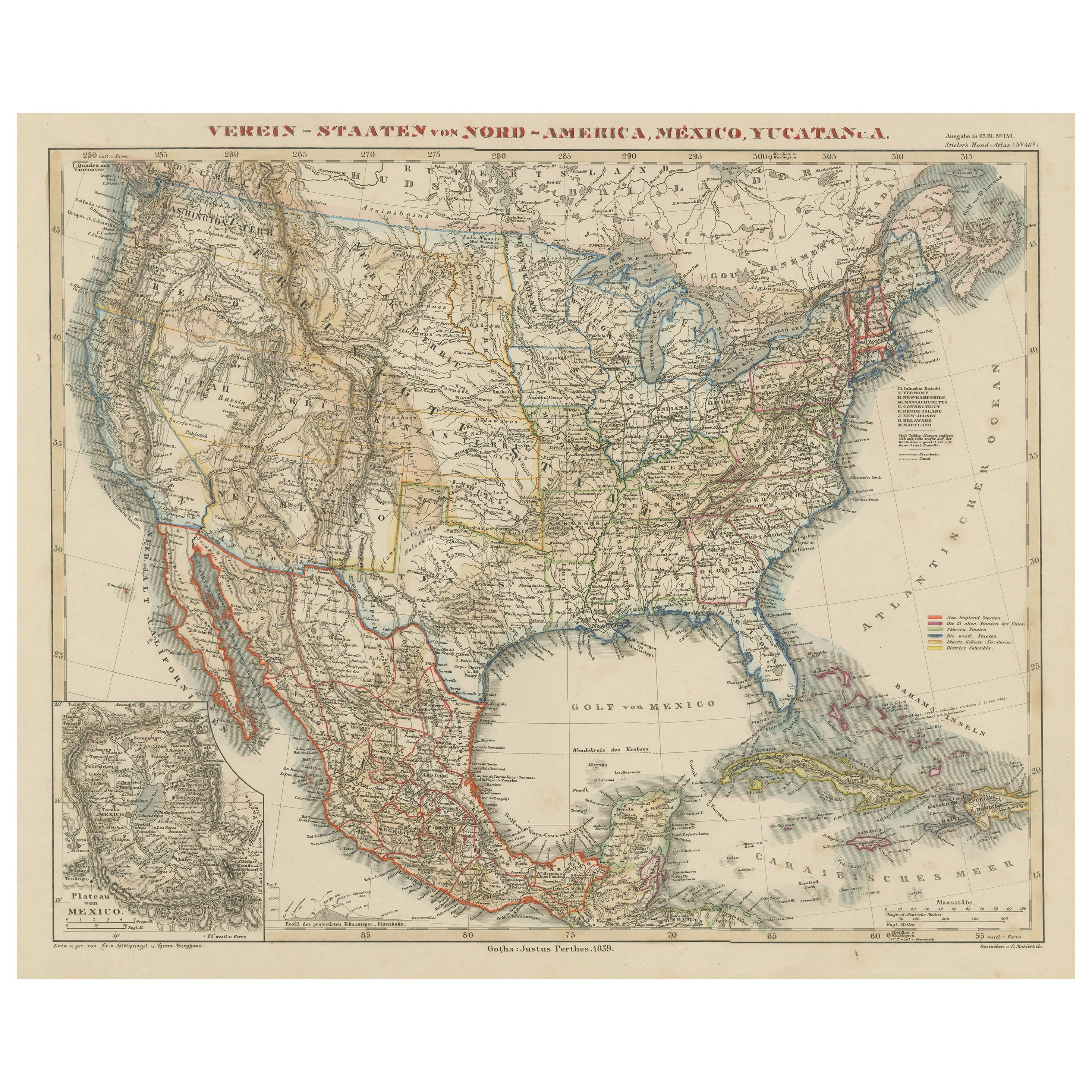
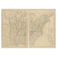
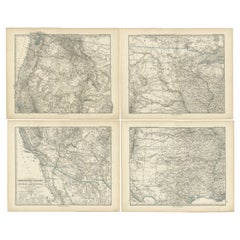
JUSTUS PERTHES (1749-1812)
Stieler’s Hand Atlas
Justus Perthes Geographic Institute, Publisher
Gotha, Germany 1879-82
Copper Engraving
Outlined in Original Hand-Color
95 Plates
18.5” x 15.5”
Famed for their attention to detail, maps from the Perthes publishing are noted for naming towns, rivers, geologic reliefs. Many of these features would normally be common only to much larger maps. This can be attributed to the research involved but is also due to Perthes’ insistence on using copper-plate engraving, a medium very friendly to minutia, at a time when most cartographers had turned to lithography. One of the consistent cartographical flourishes was to break the plane of the plate by allowing extensions of land masses to extend just outside of the margins. It would create a signature look that gave great favor to these illustrations. Justus Perthes and Adolph Stieler joined together to publish cartographic achievements of the 19th century. As with most early publications of this magnitude, it was issued in separate parts which would have been distributed monthly. Publishing wall maps and atlases, Perthes created hundreds of maps and over 20 atlases. The Perthes publishing company, which was started in 1784, continues to this day. It is now known as Hermann Haack.
“Stieler’s Hand Atlas”, one of the most universally sought reference sources, has been continually updated and published for over 125 years in German (through the 19th century), English, French, Spanish and Italian. It later became titled “Stieler’s Atlas of Modern Geography”. It remains one of the most comprehensive atlases of its time. Only an international edition, 1934-40, remained incomplete due to wartime circumstances.
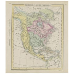
The United States of America is sectioned in six separately engraved plates. When laid side-by-side they create one large and heavily detailed map. Each map has a large concentration of city names. There are several that are illustrated with select areas of land extending beyond the borders, consistent with Perthes’ style. This creates an interesting view and very comprehensive geography lesson.
- Dimensions:Height: 39 in (99.06 cm)Width: 66.75 in (169.55 cm)
- Sold As:Set of 6
- Place of Origin:
- Period:
- Date of Manufacture:1879--1882
- Condition:Excellent Condition. Full Margins. Original Outline Hand-Colour.
- Seller Location:Florham Park, NJ
- Reference Number:1stDibs: U090208857120
Authenticity Guarantee
In the unlikely event there’s an issue with an item’s authenticity, contact us within 1 year for a full refund. DetailsMoney-Back Guarantee
If your item is not as described, is damaged in transit, or does not arrive, contact us within 7 days for a full refund. Details24-Hour Cancellation
You have a 24-hour grace period in which to reconsider your purchase, with no questions asked.Vetted Professional Sellers
Our world-class sellers must adhere to strict standards for service and quality, maintaining the integrity of our listings.Price-Match Guarantee
If you find that a seller listed the same item for a lower price elsewhere, we’ll match it.Trusted Global Delivery
Our best-in-class carrier network provides specialized shipping options worldwide, including custom delivery.You May Also Like
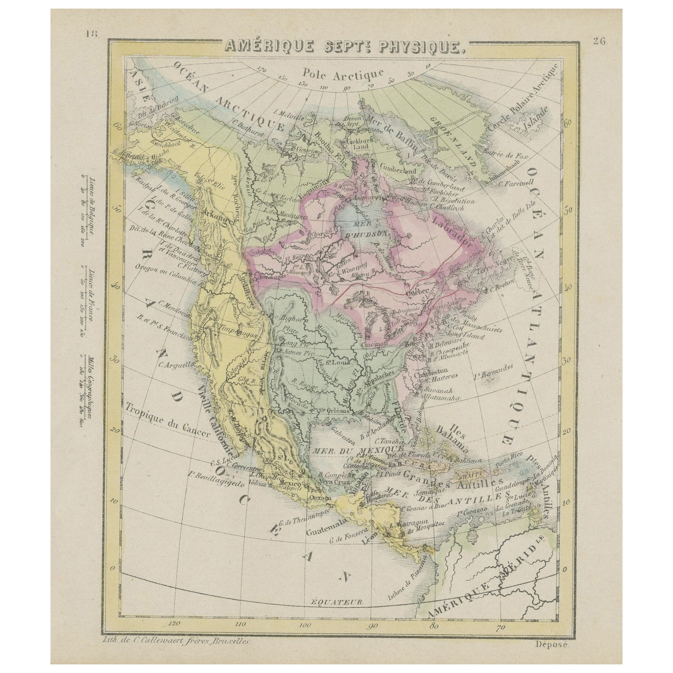
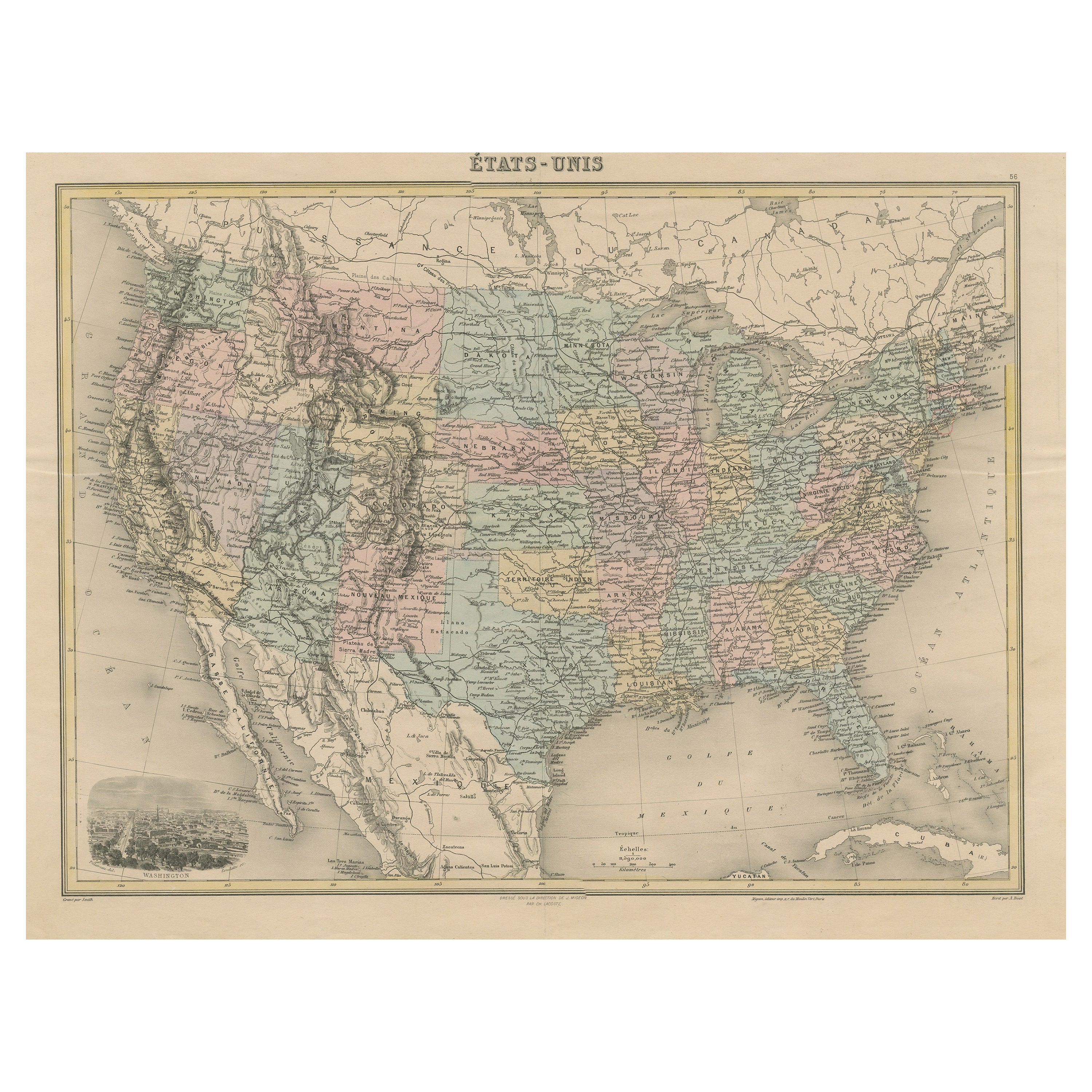
Small Map of the United States
Located in Langweer, NL
Antique map titled 'Amérique septe. Physique'. Small map of the United States. lithographed by C. Callewaert brothers in Brussels circa 1870.
Category
Antique Mid-19th Century Maps
Materials
Paper
$71 Sale Price
20% Off
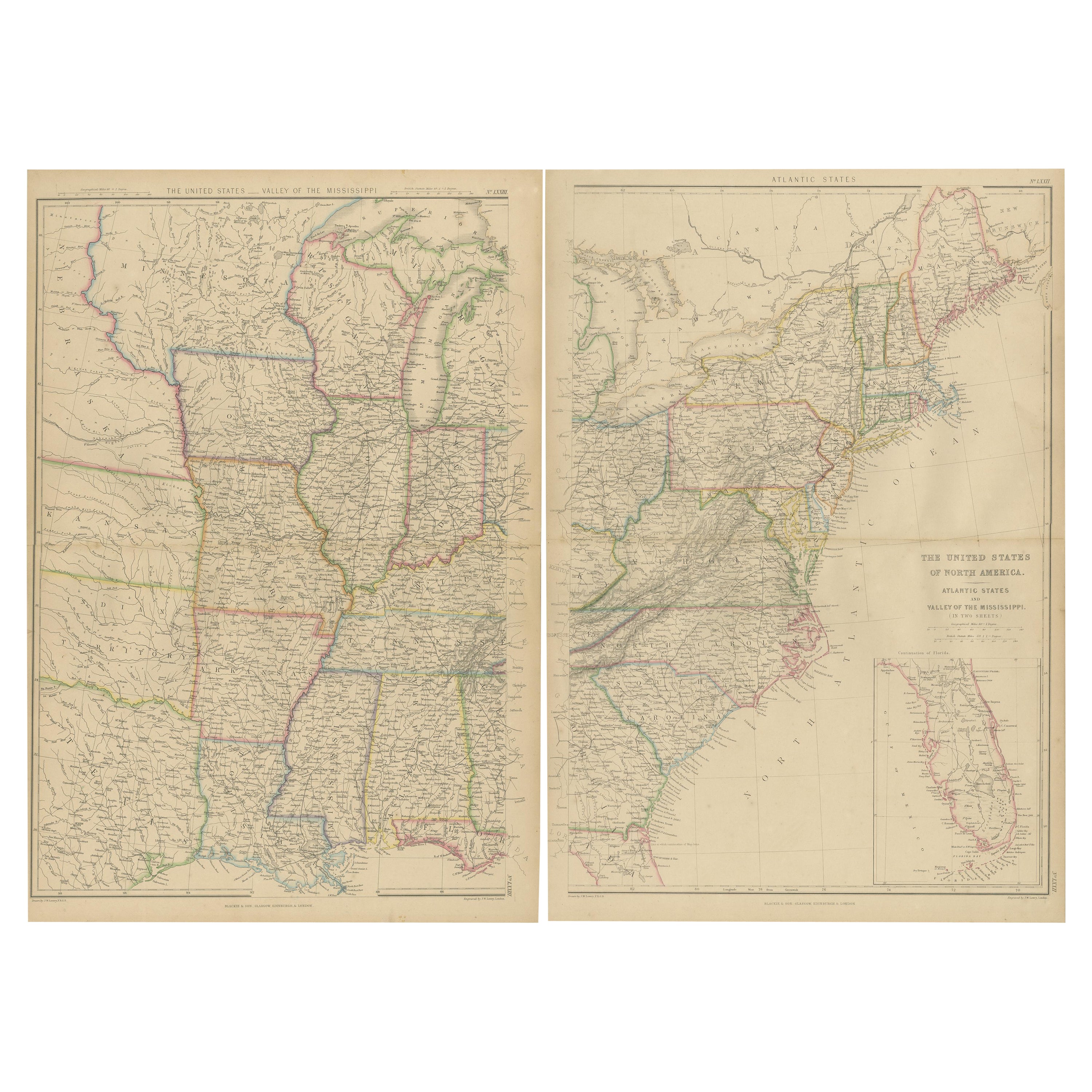
Set of 2 Antique Maps of the United States by W. G. Blackie, 1859
Located in Langweer, NL
Antique map titled 'The United States of North America, Atlantic States and Valley of the Mississippi'. Original antique map of the United States of North America, Atlantic States an...
Category
Antique Mid-19th Century Maps
Materials
Paper
$381 Sale Price / set
20% Off
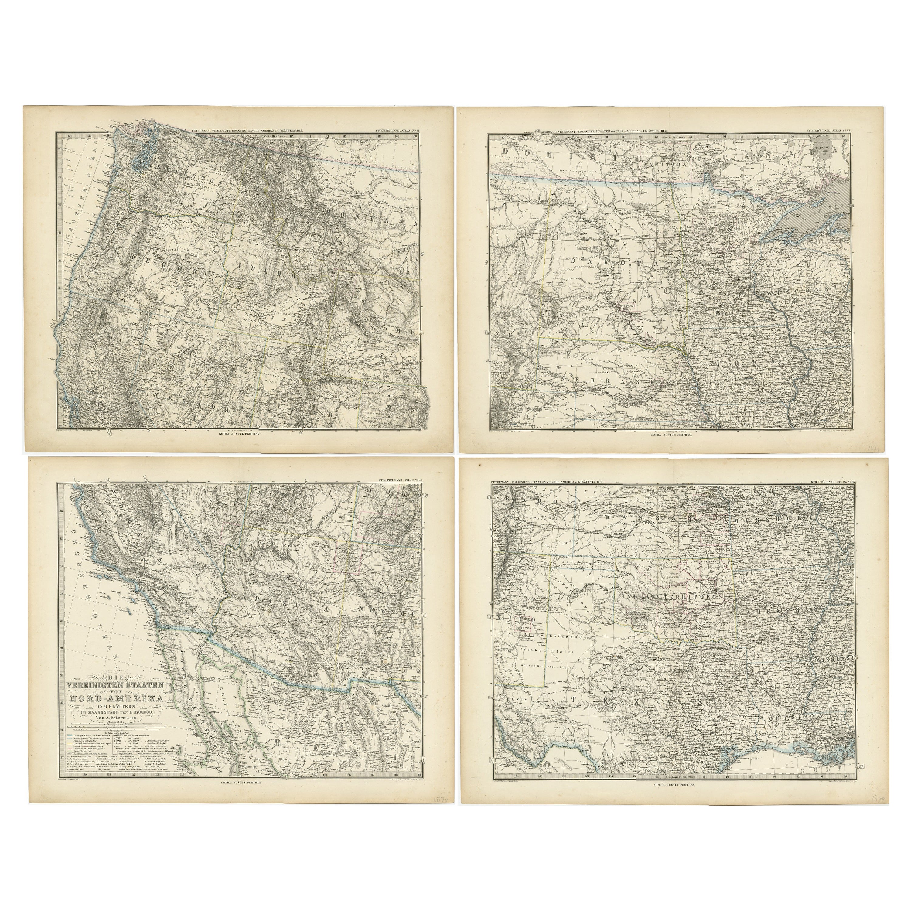
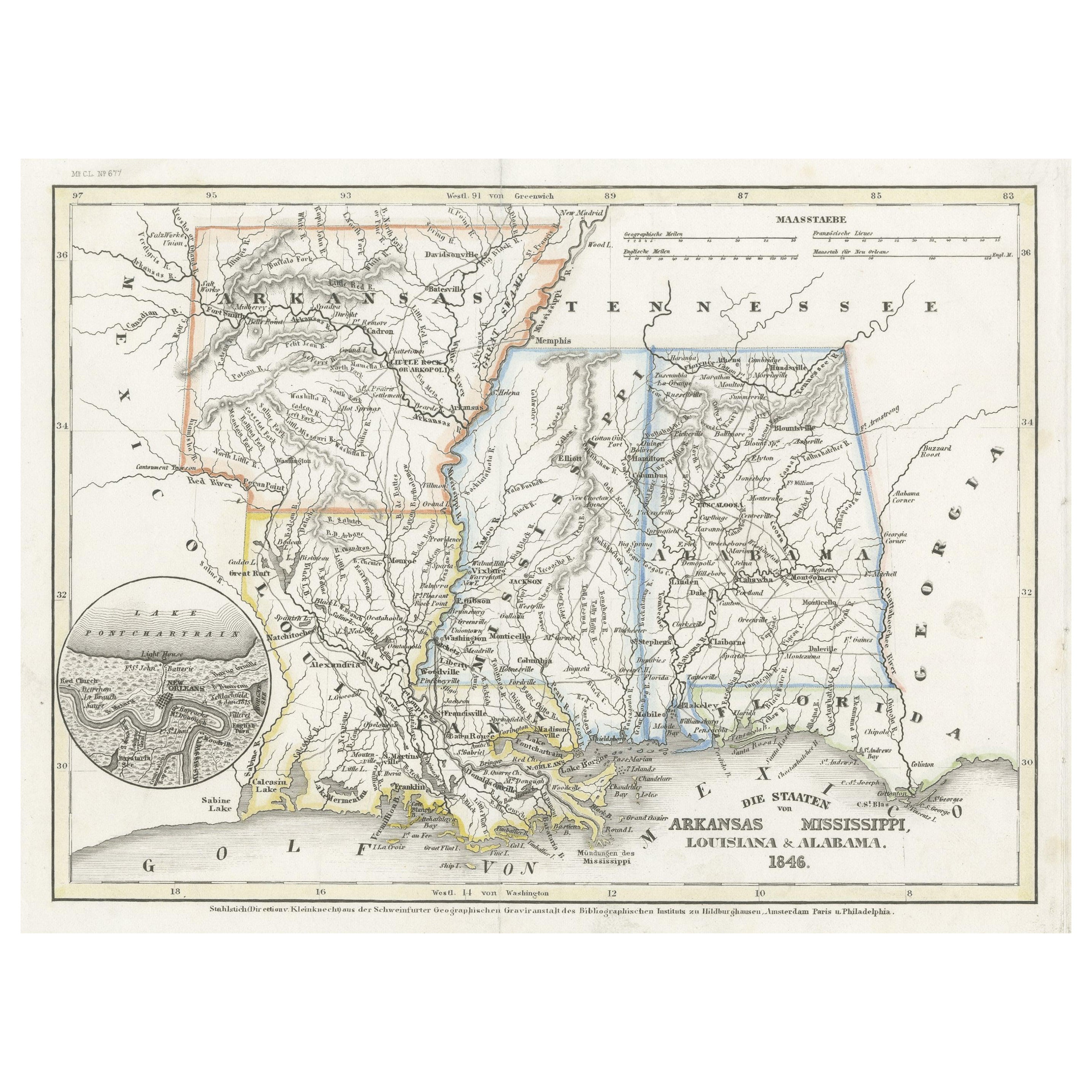
Set of 4 Antique Maps of part of the United States of America
Located in Langweer, NL
Set of four individual antique maps of part of the United States. Published as part of a set of six individual maps.
These maps originate from Stielers Handatlas, published circa 1...
Category
Antique Mid-19th Century Maps
Materials
Paper
$712 Sale Price / set
35% Off
Antique Map of the United States by Lowry, '1852'
Located in Langweer, NL
Antique map titled 'United States'. Four individual sheets of the United States. This map originates from 'Lowry's Table Atlas constructed and engraved from the most recent Authoriti...
Category
Antique Mid-19th Century Maps
Materials
Paper

$285 Sale Price / set
20% Off
Antique Map of the United States by Titus '1871'
Located in Langweer, NL
Antique map titled 'The United States of America'. Original antique map of the United States. This map originates from 'Atlas of Prebl...
Category
Antique Late 19th Century Maps
Materials
Paper

$762 Sale Price
20% Off
Antique Map of the United States by Balbi '1847'
Located in Langweer, NL
Antique map titled 'Etats-Unis'. Original antique map of the United States. This map originates from 'Abrégé de Géographie (..)' by Ad...
Category
Antique Mid-19th Century Maps
Materials
Paper

$190 Sale Price
20% Off