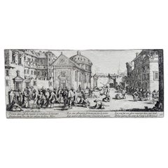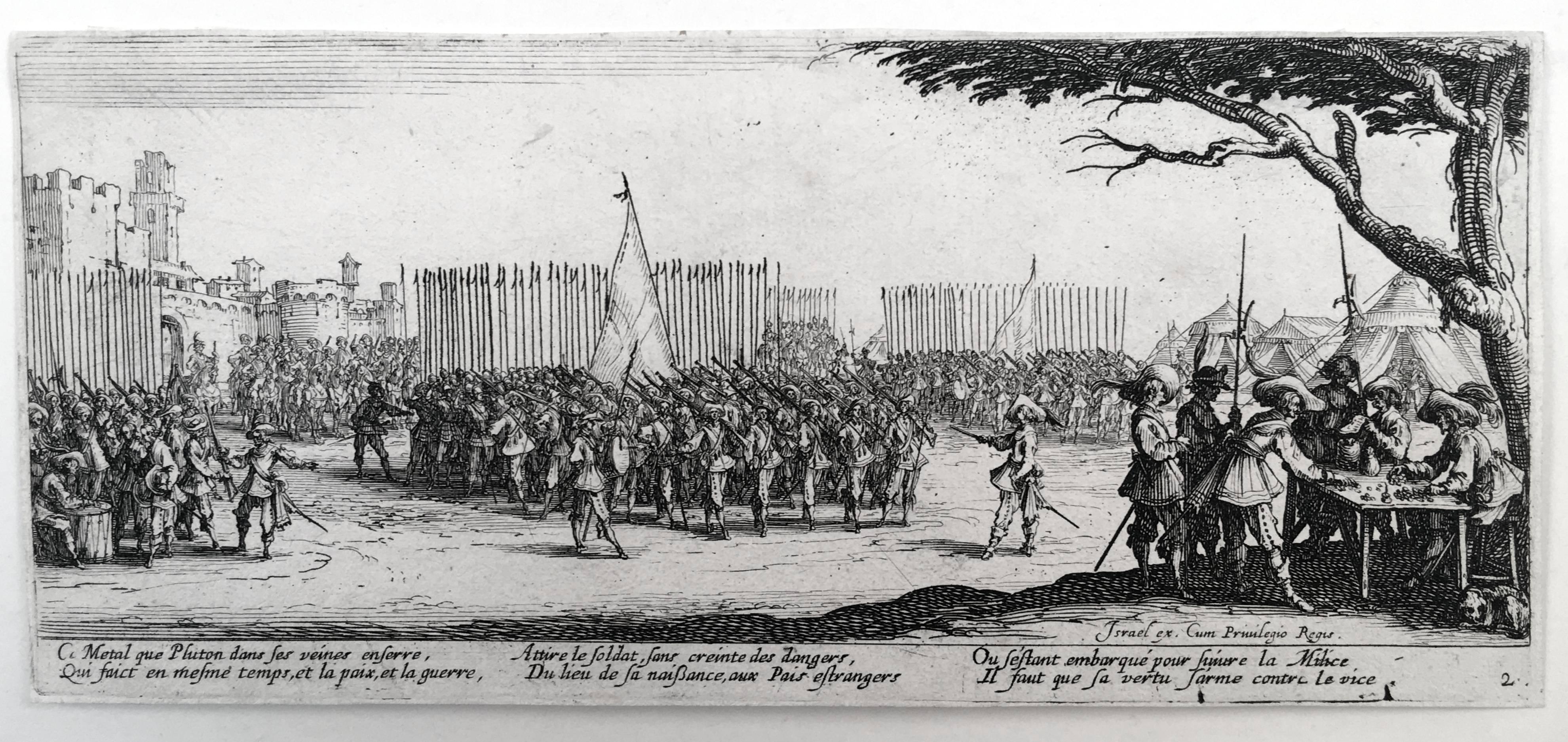
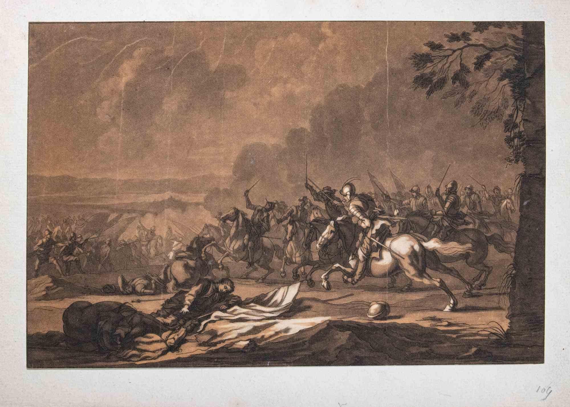
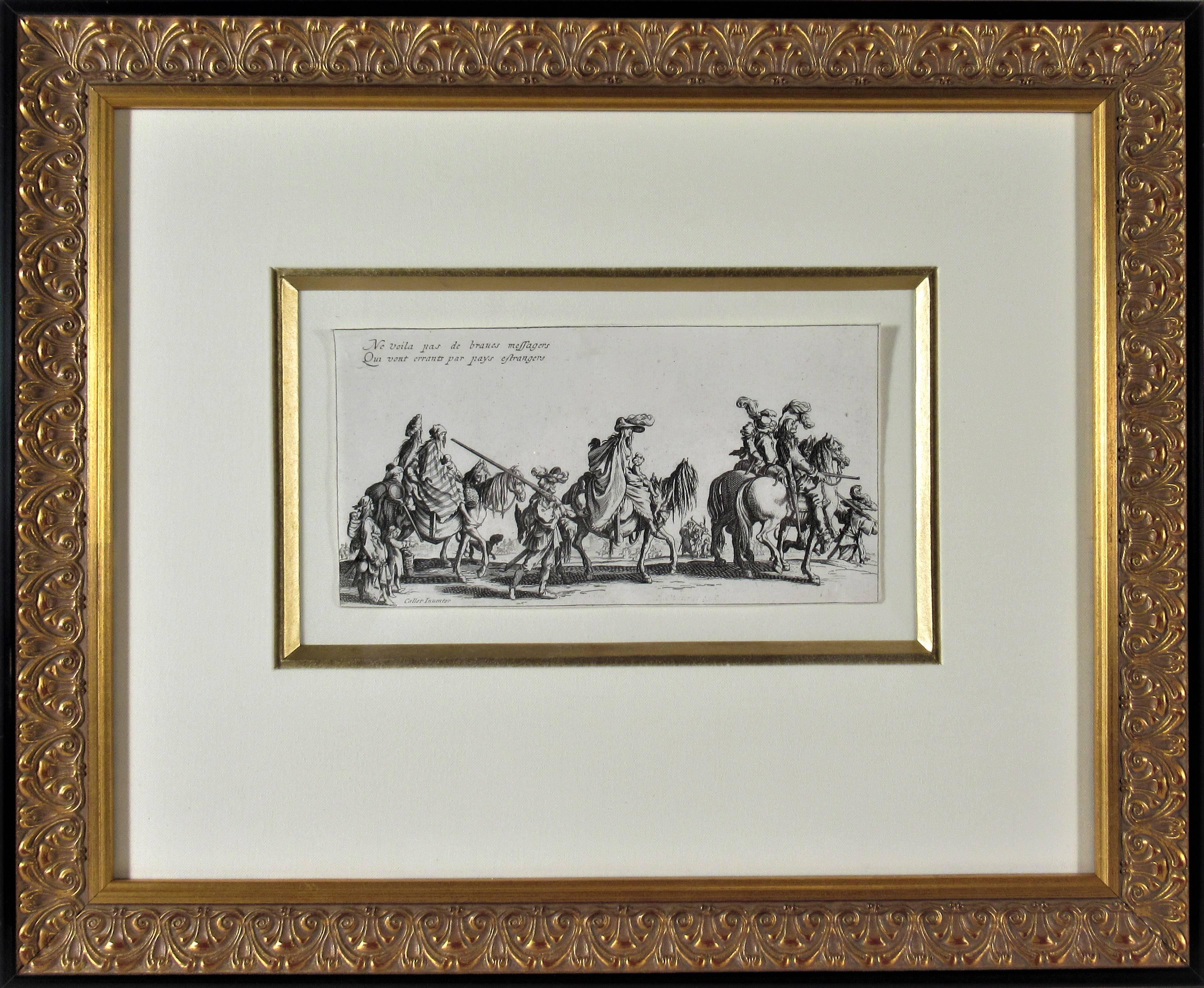
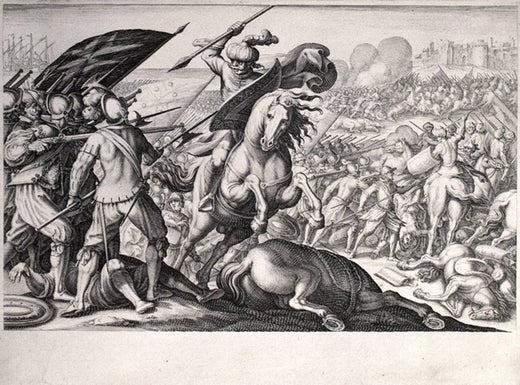
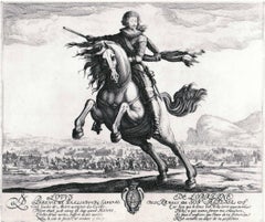
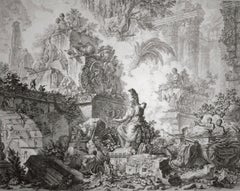
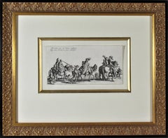
Jacques CallotDéfaite de la cavalerie Turque (1st State)
About the Item
- Creator:Jacques Callot (1592 - 1635, French)
- Dimensions:Height: 8.88 in (22.56 cm)Width: 11.88 in (30.18 cm)
- Medium:
- Movement & Style:
- Period:
- Condition:
- Gallery Location:Chicago, IL
- Reference Number:1stDibs: LU36531393673
Jacques Callot
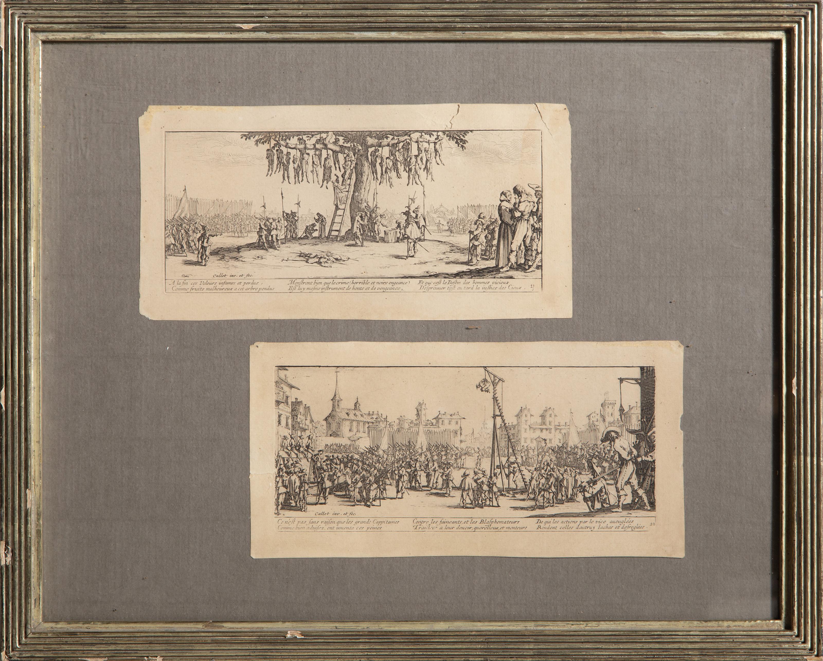
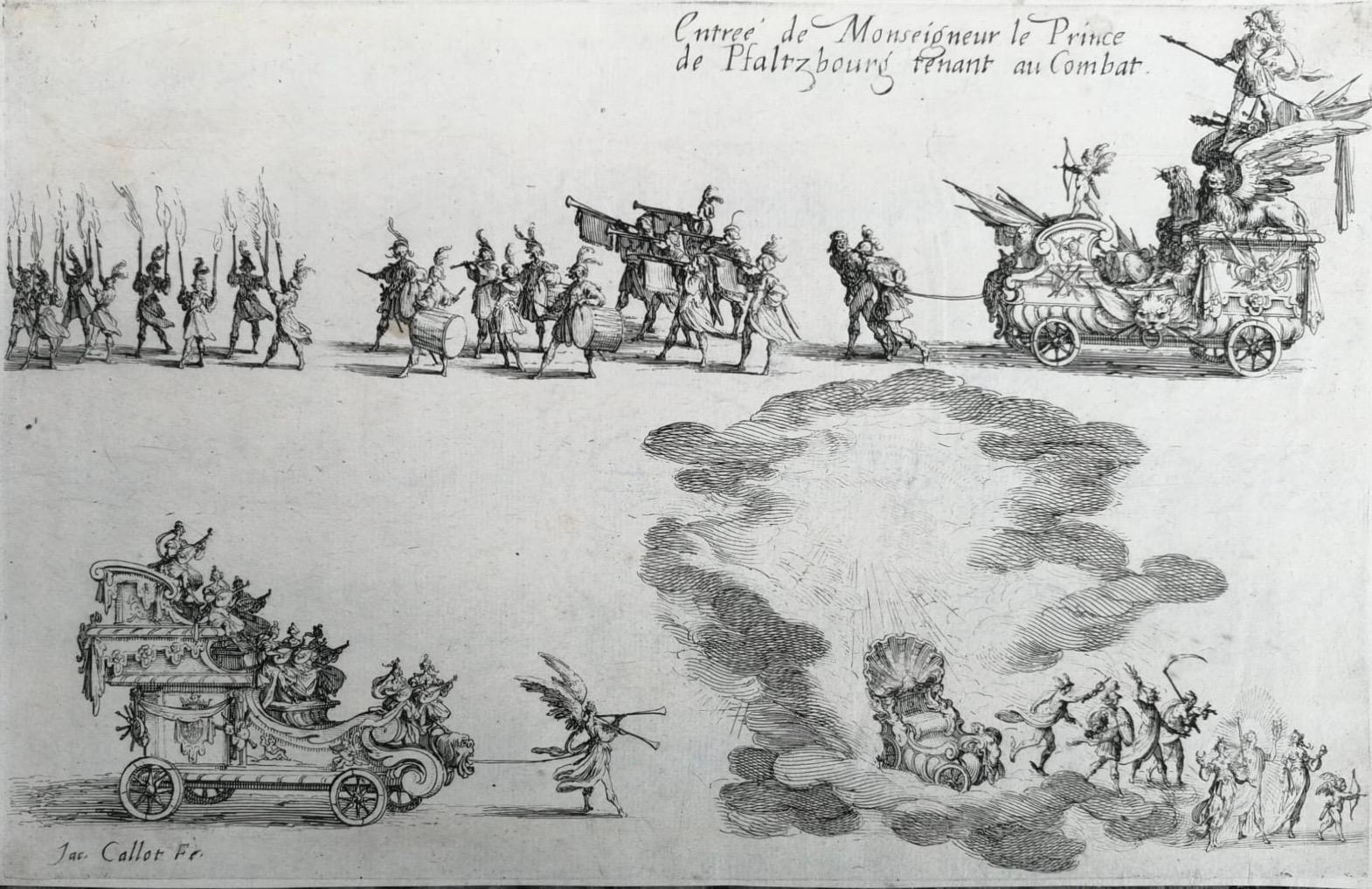
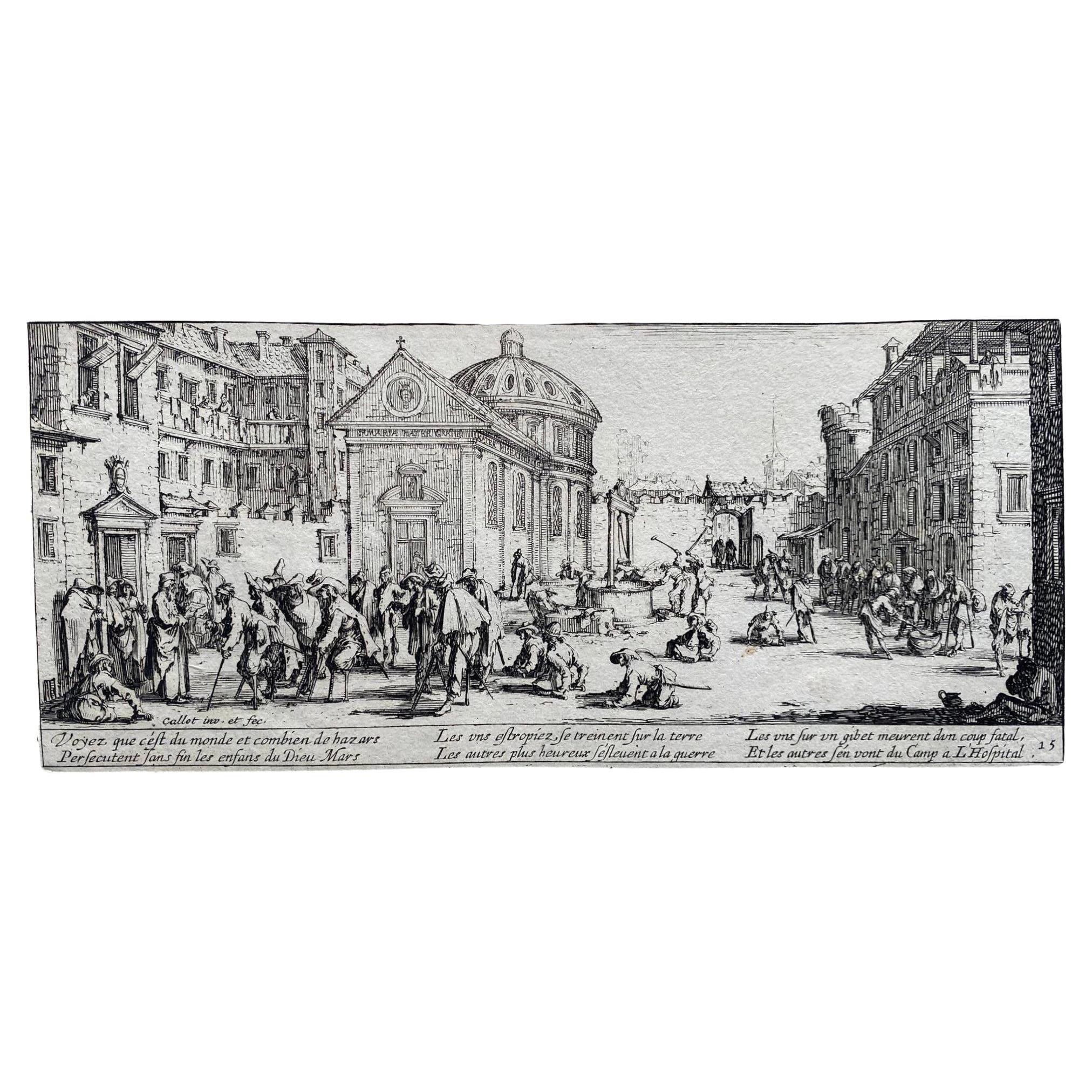
Jacques Callot, at the age of 12 years old, he runs away in Italy with gypsies. Callot returned for the third time to Italy together with an embassy of Duke Henry II to the Holy See. In 1611, Callot entered the workshop of Tempesta, a famous Italian engraver, for three years. In 1614 Callot left Rome for Florence in the service of Cosimo II de Medici. Callot produced drawings and etchings that drew influence from Flemish art and Mannerist works in Roman churches. Callot’s career began in Florence in 1612 when he started work in the Medici court, where he was employed to make pictorial records of entertainments such as fairs and festivals and where he also drew and etched courtiers, beggars and other characters, excelling particularly at caricatures. Returning to his native France in the latter end of his career, Callot’s work became markedly soberer as he documented the horrors of the 30 years of war in his Miseries of War series, which would continue to influence the artistic representation of conflict social injustice into the 19th and 20th Centuries.
- ShippingRetrieving quote...Shipping from: Chicago, IL
- Return Policy
More From This Seller
View All16th Century Old Masters Portrait Prints
Etching
18th Century Landscape Prints
Etching
17th Century Old Masters Prints and Multiples
Etching
17th Century Old Masters Figurative Prints
Etching
Mid-17th Century Old Masters Landscape Prints
Etching
16th Century Old Masters Drawings and Watercolor Paintings
Chalk, Ink, Pen
You May Also Like
1630s Old Masters Figurative Prints
Etching
18th Century Modern Figurative Prints
Etching
17th Century Realist Figurative Prints
Etching
Early 17th Century Baroque Prints and Multiples
Etching
17th Century Baroque Figurative Prints
Paper, Engraving
Antique 17th Century French Louis XIII Prints
Paper