Items Similar to Antique Map of Eastern Germany, Bohemia, Moravia & Silesia – 1858


Want more images or videos?
Request additional images or videos from the seller
1 of 10
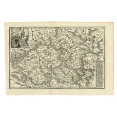
Antique Map of Eastern Germany, Bohemia, Moravia & Silesia – 1858
$519.66
£391.23
€440
CA$715.87
A$801.73
CHF 418.33
MX$9,792.81
NOK 5,322.38
SEK 5,016.98
DKK 3,349.34
About the Item
Antique Map of Eastern Germany, Bohemia, Moravia & Silesia – 1858
Detailed 19th-century engraved map titled "Östliches Deutschland mit Böhmen, Mähren und Schlesien" (Eastern Germany with Bohemia, Moravia, and Silesia), published by Justus Perthes in Gotha in 1858. This finely executed copperplate engraving presents a richly detailed view of the political and geographic landscape of Central Europe in the mid-19th century.
The map spans modern-day eastern Germany, the Czech Republic, and parts of southwestern Poland, highlighting the historic regions of Bohemia (Böhmen), Moravia (Mähren), and Silesia (Schlesien). Provincial and district boundaries are outlined in hand-applied colors, distinguishing the territories of Prussia, the Austrian Empire, and the German Confederation.
Major cities such as Prague, Breslau (Wrocław), Brünn (Brno), Olmütz (Olomouc), and Dresden are prominently marked, along with hundreds of towns, roads, rivers, and fortifications. The rich topographical engraving conveys the mountainous terrain of the Ore Mountains (Erzgebirge) and Sudetenland, and the forested interior of Bohemia.
An elevation profile at the bottom of the map illustrates the varying altitudes across the depicted regions, providing valuable context to the landscape. A detailed legend identifies political divisions, mountain ranges, and road categories, enhancing the map's function as a historical and geographical reference.
This map captures the complex political landscape of Central Europe in a time of rising nationalism and shifting allegiances—prior to the Austro-Prussian War of 1866 and long before the redrawing of borders after the world wars. It is a valuable and decorative piece for collectors interested in the history of the Habsburg Empire, Prussia, and Central European geography.
Condition report:
Very good condition. Some light toning to outer margins. Hand-coloring well preserved and crisp. No tears or repairs. Image clean and finely detailed. Please inspect closely.
Framing tips:
A classic dark wood frame (ebony or walnut) with a warm ivory or parchment mat would suit this map well. A fine red or gold accent line may enhance the borders of Bohemia and Silesia. Ideal for historical interiors, libraries, or academic collections.
Technique: Copperplate engraving with original hand-coloring
Maker: Justus Perthes, Gotha, 1858
- Dimensions:Height: 14.77 in (37.5 cm)Width: 17.88 in (45.4 cm)Depth: 0.01 in (0.2 mm)
- Materials and Techniques:Paper,Engraved
- Place of Origin:
- Period:
- Date of Manufacture:1858
- Condition:Very good condition. Some light toning to outer margins. Hand-coloring well preserved and crisp. No tears or repairs. Image clean and finely detailed. Please inspect closely.
- Seller Location:Langweer, NL
- Reference Number:Seller: BG-05552-311stDibs: LU3054346118242
About the Seller
5.0
Recognized Seller
These prestigious sellers are industry leaders and represent the highest echelon for item quality and design.
Platinum Seller
Premium sellers with a 4.7+ rating and 24-hour response times
Established in 2009
1stDibs seller since 2017
2,533 sales on 1stDibs
Typical response time: <1 hour
- ShippingRetrieving quote...Shipping from: Langweer, Netherlands
- Return Policy
Authenticity Guarantee
In the unlikely event there’s an issue with an item’s authenticity, contact us within 1 year for a full refund. DetailsMoney-Back Guarantee
If your item is not as described, is damaged in transit, or does not arrive, contact us within 7 days for a full refund. Details24-Hour Cancellation
You have a 24-hour grace period in which to reconsider your purchase, with no questions asked.Vetted Professional Sellers
Our world-class sellers must adhere to strict standards for service and quality, maintaining the integrity of our listings.Price-Match Guarantee
If you find that a seller listed the same item for a lower price elsewhere, we’ll match it.Trusted Global Delivery
Our best-in-class carrier network provides specialized shipping options worldwide, including custom delivery.More From This Seller
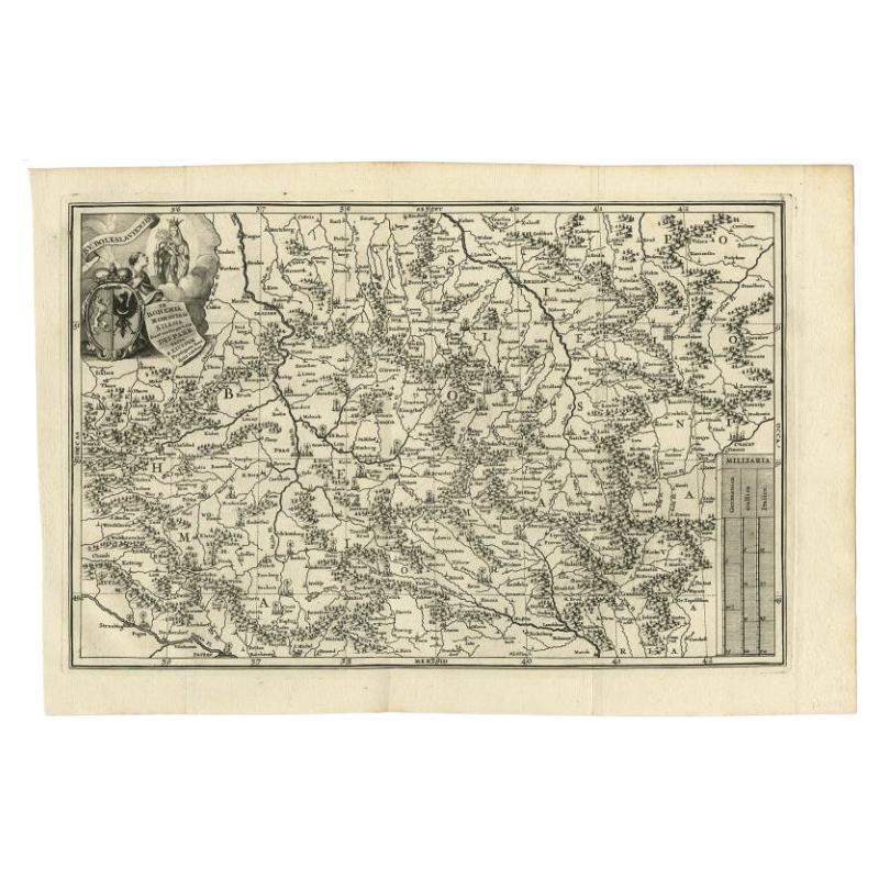
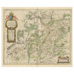
View AllAntique Uncommon Map of Bohemia, Moravia and Silesia, 1699
Located in Langweer, NL
Antique map titled 'B. V. Boleslaviensis in Bohemia, Moravia et Silesia (..).' Detailed uncommon map of the Bohemia, Moravia and Silesia. Source unknown, to be determined.
Artists...
Category
Antique 17th Century Maps
Materials
Paper
$453 Sale Price
20% Off
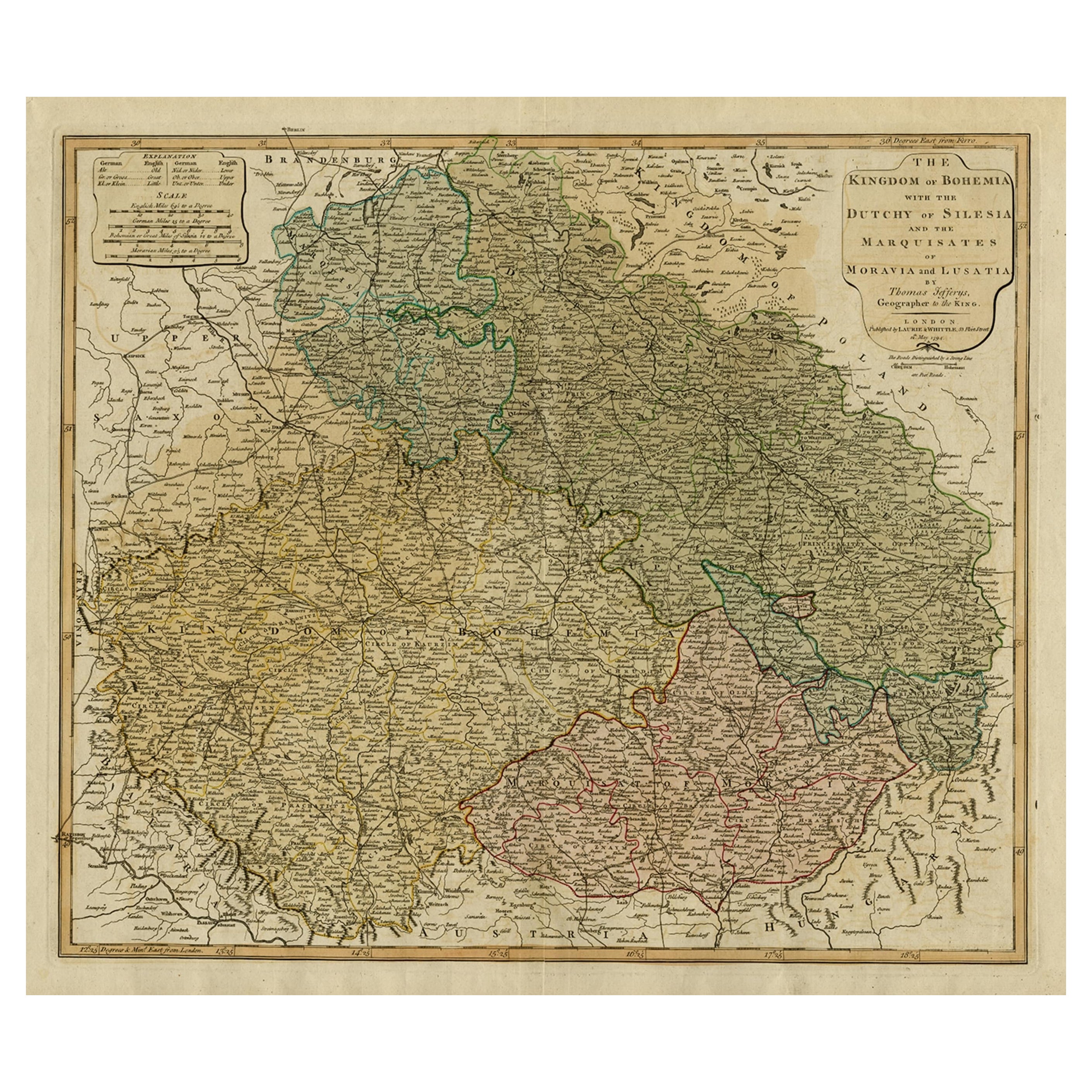
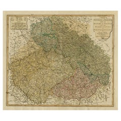
Original Map of the Kingdom of Bohemia, with Silesia, Moravia and Lusatia, 1804
Located in Langweer, NL
Antique map titled 'The Kingdom of Bohemia with the Duchy of Silesia and the Marquisates of Moravia and Lusatia.'
Map of the Kingdom of Bohemia, with Silesia, Moravia and Lusatia...
Category
Antique Early 1800s Maps
Materials
Paper
Antique Map of Silesia centered on Glogau
Located in Langweer, NL
Antique map titled 'Ducatus Silesiae Glogani vera delineatio'. This decorative map shows the Odra River valley based on the Silesian cartographer, Jonas Scultetus. The map is oriente...
Category
Antique Mid-17th Century Maps
Materials
Paper
$642 Sale Price
20% Off
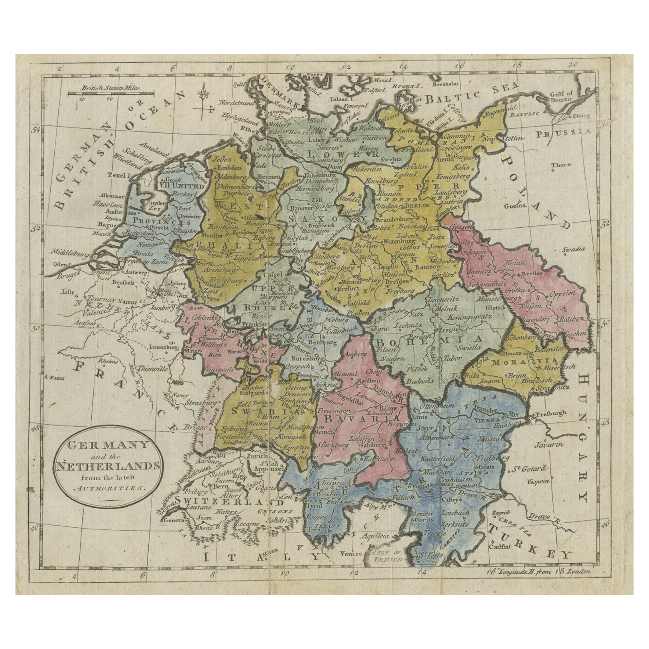
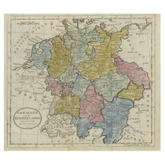
Antique Map of Germany, the Netherlands, Bohemia, Bavaria and Switzerland, 1785
Located in Langweer, NL
Antique map titled 'Germany and the Netherlands from the latest authorities'. Depicts Germany, the Netherlands and the surrounding region including Bohemia, Bavaria, and Switzerland....
Category
Antique 18th Century Maps
Materials
Paper
$132 Sale Price
20% Off
Antique Map of Eastern Polynesia, 1849
Located in Langweer, NL
Antique map titled 'Ost-Polynesien'. Interesting variant issue, with large detailed insets top right of Hawaii volcanos near Kilauea. Insets lower right of Honolulu harbour, island o...
Category
Antique Mid-19th Century Maps
Materials
Paper

$165 Sale Price
30% Off
Antique Map of Eastern Persia, 1852
Located in Langweer, NL
Antique map titled 'Eastern Persia'. Original map of Eastern Persia. This map originates from 'Lowry's Table Atlas constructed and engraved from the most recent Authorities' by J.W. ...
Category
Antique Mid-19th Century Maps
Materials
Paper

$94 Sale Price
20% Off
You May Also Like
1858 Colton's Map of New York, Ric.B011
Located in Norton, MA
An 1858 Colton's map of New York
Ric.b011
Colton’s New York, 1858 - A large original color engraved and very detailed map of the state of New York,...
Category
Antique 19th Century Unknown Maps
Materials
Paper

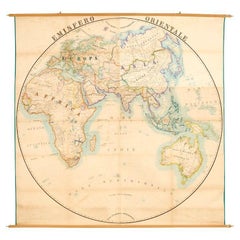
Antique Map of Eastern Hemisphere from the collection of Thierry Despont
Located in New York, NY
Designed by Enrico Bonetti (E. Bonatti) and published by Francesco Vallardi Editore. Based on an earlier map by Evangelista Azzi (Ev. Azzi). Labeled as such at bottom edge of map.
T...
Category
Antique Late 19th Century Italian Maps
Materials
Canvas, Wood
Pair Antique Italian Maps of the North American Eastern Seaboard
Located in New York, NY
Pair antique Italian maps of the North American Eastern Seaboard. Late 18th early 19th century original Italian documentation of the East Coast of the United States from Passamaquadd...
Category
Antique Late 18th Century Italian Maps
Materials
Wood, Paper

Original Antique Map of the American State of Pennsylvania( Eastern Part ), 1903
Located in St Annes, Lancashire
Antique map of Pennsylvania ( Eastern part )
Published By A & C Black. 1903
Original colour
Good condition
Unframed.
Free shipping
Category
Antique Early 1900s English Maps
Materials
Paper

Original Antique Map of The Eastern Hemisphere by Dower, circa 1835
Located in St Annes, Lancashire
Nice map of the Eastern Hemisphere
Drawn and engraved by J.Dower
Published by Orr & Smith. C.1835
Unframed.
Free shipping
Category
Antique 1830s English Maps
Materials
Paper

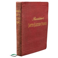
Small Antique Baedeker's South Eastern France Guide Book, Provence, Travel Maps
Located in Hele, Devon, GB
This is a delightful antique edition of Baedeker's South Eastern France guide book, complete with superb fold-out maps, centre-fold maps and informative text. A bound and intact late...
Category
Early 20th Century British Late Victorian Books
Materials
Paper