Items Similar to Scarce Latin Edition of Guillaume Delisle's 1700 Map of North America
Want more images or videos?
Request additional images or videos from the seller
1 of 8
Scarce Latin Edition of Guillaume Delisle's 1700 Map of North America
$1,868.47
$2,335.5920% Off
£1,384.64
£1,730.8020% Off
€1,560
€1,95020% Off
CA$2,550.82
CA$3,188.5320% Off
A$2,837.69
A$3,547.1120% Off
CHF 1,487.55
CHF 1,859.4420% Off
MX$34,675.82
MX$43,344.7820% Off
NOK 18,942.10
NOK 23,677.6220% Off
SEK 17,831.36
SEK 22,289.2020% Off
DKK 11,877.70
DKK 14,847.1320% Off
Shipping
Retrieving quote...The 1stDibs Promise:
Authenticity Guarantee,
Money-Back Guarantee,
24-Hour Cancellation
About the Item
Scarce German Edition of Guillaume Delisle's 1700 Map of North America
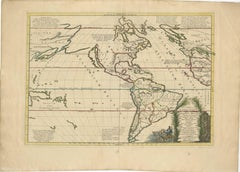
This beautifully colored and highly detailed map is a rare Latin edition of Guillaume Delisle's influential 1700 map of North America, published by Jeremias Wolff.
It provides a snapshot of early European exploration and territorial claims in the New World. The map includes details of the Great Lakes based on Vincenzo Coronelli's model, highlighting the French strongholds in North America, including Tadousac, Quebec, Montreal, and Fort Frontenac. The English colonies are shown clustered along the East Coast, while the Ohio River Valley and the region around the Great Lakes are marked as territories of the Ilionensium and Iroquoens tribes.
Key rivers such as the Mississippi, Rio Grande, and Colorado are represented accurately for the time, and California is depicted as a peninsula, unlike the many maps that show it as an island. The Sargasso Sea is illustrated in the Atlantic, adding a touch of myth to the cartography. Voyage routes are marked in the Pacific, reflecting the curiosity and adventurous spirit of the era. The map's elaborate cartouches replicate the style of Delisle, with classical figures enhancing the visual appeal and symbolic representation of the period.
The map shows the routes of several early explorers across the Pacific Ocean. These routes likely represent voyages of prominent explorers such as Ferdinand Magellan, Francis Drake, and other navigators who were involved in the early exploration of the Americas and Pacific regions. The inclusion of these routes reflects the era's fascination with exploration and serves to provide context for European claims and knowledge of the world at the time.
Jeremias Wolff (1663–1724), was a well-known German engraver, publisher, and art dealer based in Augsburg. Wolff was renowned for his skills in copper engraving and his contributions to cartography, particularly during the late 17th and early 18th centuries.
Jeremias Wolff's publishing house specialized in high-quality maps, city views, and decorative prints. He collaborated with various cartographers, including producing adaptations of famous French maps like those by Guillaume Delisle. His work often involved translating and republishing maps for the German-speaking audience, making significant contributions to the dissemination of geographical knowledge across Europe. His maps are particularly recognized for their decorative cartouches and detailed engravings, which were influenced by the baroque artistic style prevalent at the time.
Wolff's publications, including this Latin version of Delisle's map, were popular due to their artistic quality and the accurate representation of geographical information. His legacy in the mapmaking world is tied to both his craftsmanship as an engraver and his role in making significant maps more accessible beyond their original French versions.
This edition was published in Germany for a broader European audience, where Latin was commonly used for scientific and cartographic purposes.
Jeremias Wolff, the publisher, was based in Augsburg, Germany, and often used Latin in his maps to appeal to an international market. Latin was the preferred language for scholarly works at the time, particularly in cartography, allowing the map to be accessible to scholars and educated individuals across Europe, regardless of their native language.
This map is not only an important geographical document but also an excellent example of cartographic art from the early 18th century, capturing the mixture of myth, exploration, and territorial ambitions of European powers.
- Dimensions:Height: 17.8 in (45.2 cm)Width: 23.51 in (59.7 cm)Depth: 0.01 in (0.2 mm)
- Materials and Techniques:Paper,Engraved
- Period:1700-1709
- Date of Manufacture:1700
- Condition:The map is in very good condition, with vibrant hand-coloring, clean margins, minimal toning, no major folds or tears, and no intrusive marks. Edges are stable, and overall wear is light, making it highly attractive for collectors.
- Seller Location:Langweer, NL
- Reference Number:Seller: BHZ78611stDibs: LU3054342587052
About the Seller
5.0
Recognized Seller
These prestigious sellers are industry leaders and represent the highest echelon for item quality and design.
Platinum Seller
Premium sellers with a 4.7+ rating and 24-hour response times
Established in 2009
1stDibs seller since 2017
2,494 sales on 1stDibs
Typical response time: 1 hour
- ShippingRetrieving quote...Shipping from: Langweer, Netherlands
- Return Policy
Authenticity Guarantee
In the unlikely event there’s an issue with an item’s authenticity, contact us within 1 year for a full refund. DetailsMoney-Back Guarantee
If your item is not as described, is damaged in transit, or does not arrive, contact us within 7 days for a full refund. Details24-Hour Cancellation
You have a 24-hour grace period in which to reconsider your purchase, with no questions asked.Vetted Professional Sellers
Our world-class sellers must adhere to strict standards for service and quality, maintaining the integrity of our listings.Price-Match Guarantee
If you find that a seller listed the same item for a lower price elsewhere, we’ll match it.Trusted Global Delivery
Our best-in-class carrier network provides specialized shipping options worldwide, including custom delivery.More From This Seller
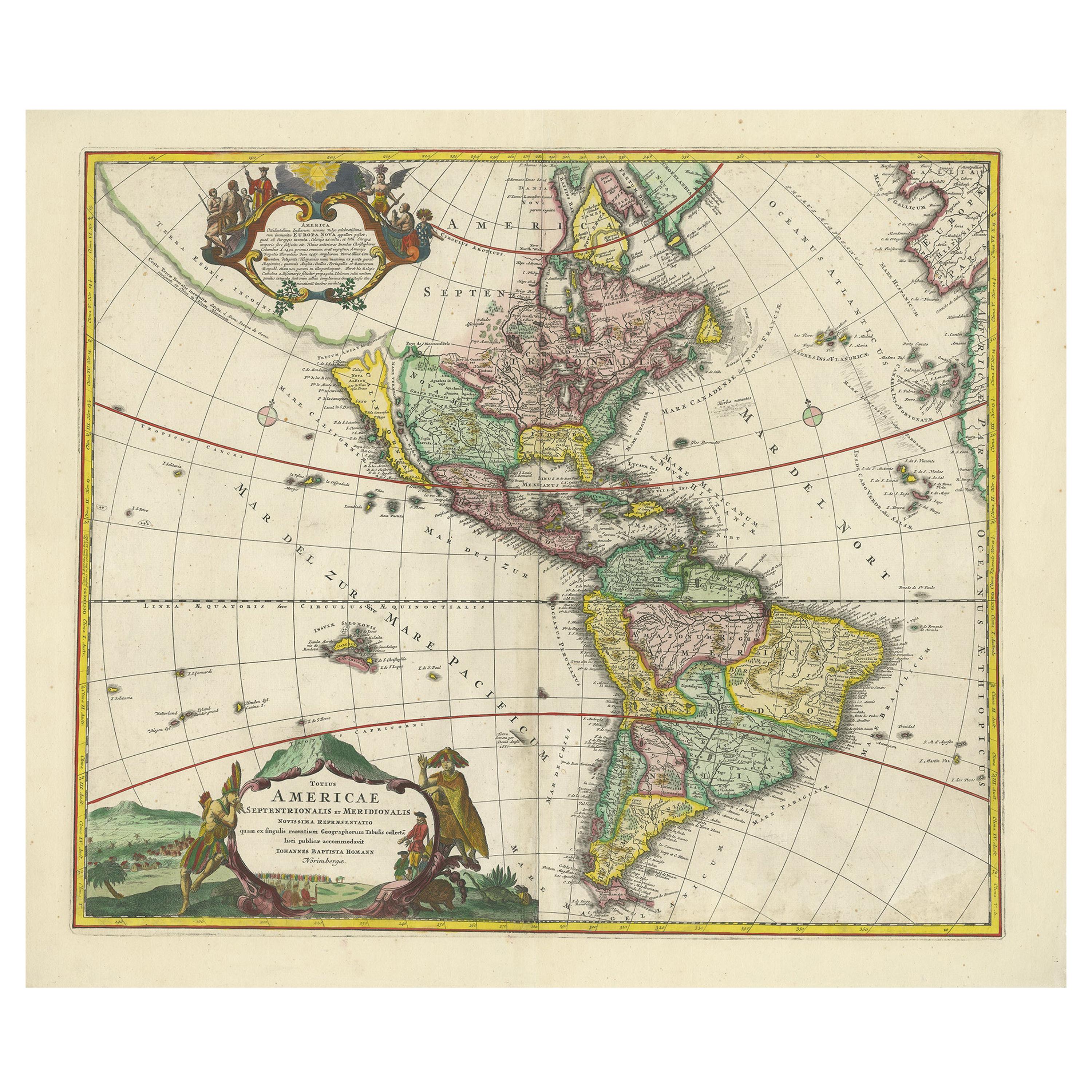
View AllAntique Map of America with California as an Island by Homann '1710'
Located in Langweer, NL
This antique map, titled "Totius Americae Septentrionalis et Meridionalis," represents a significant cartographic piece from 1710 by Johann Baptist Homann. Here's a description of this remarkable map:
- Title: Totius Americae Septentrionalis et Meridionalis (...)
- Date: Published in 1710 by Johann Baptist Homann.
Description:
This map is a first edition of Johann Baptiste Homann's map of America, and it is notable for several cartographic features and historical representations:
1. California as an Island...
Category
Antique Early 18th Century Maps
Materials
Paper
$2,245 Sale Price
25% Off
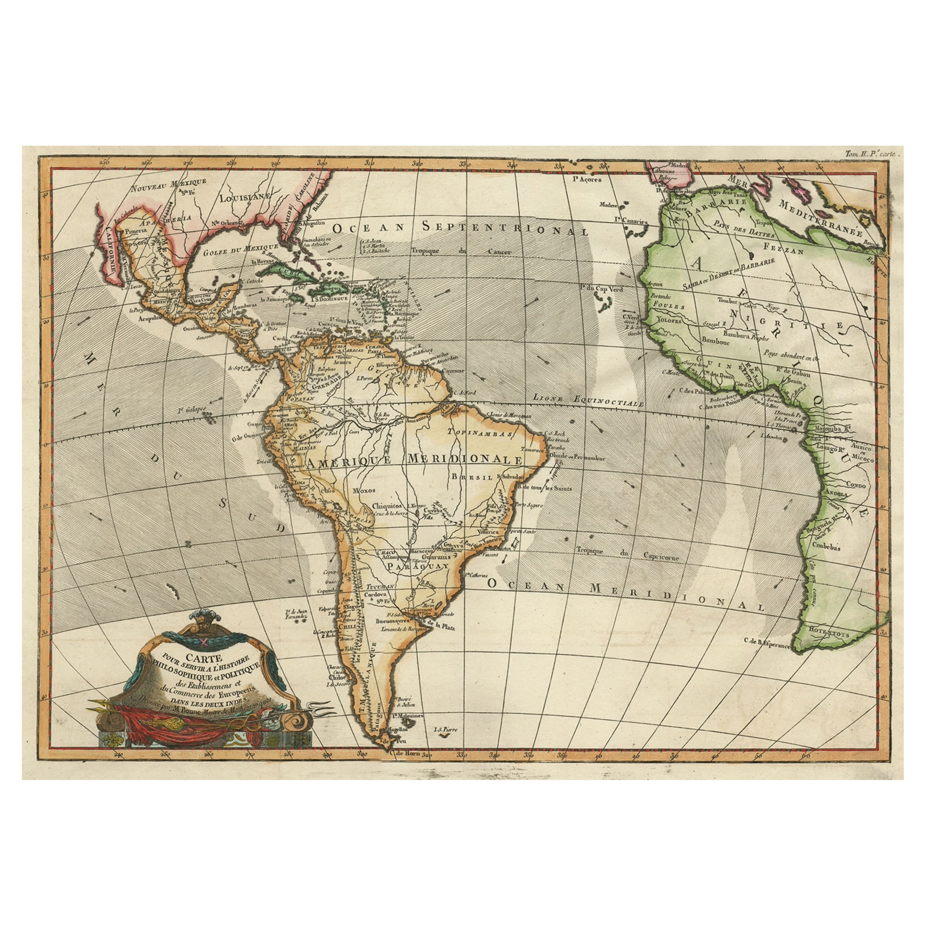
Antique Map of South American, The West Indies & Most of Africa, Ca.1775
Located in Langweer, NL
Antique map titled 'Carte pour Servir a l' Histoire Philosophique et Politique des Etablissemens et du Commerce des Europeens dans les deux Indes'.
This map is roughly centered o...
Category
Antique 1770s Maps
Materials
Paper
$728 Sale Price
20% Off
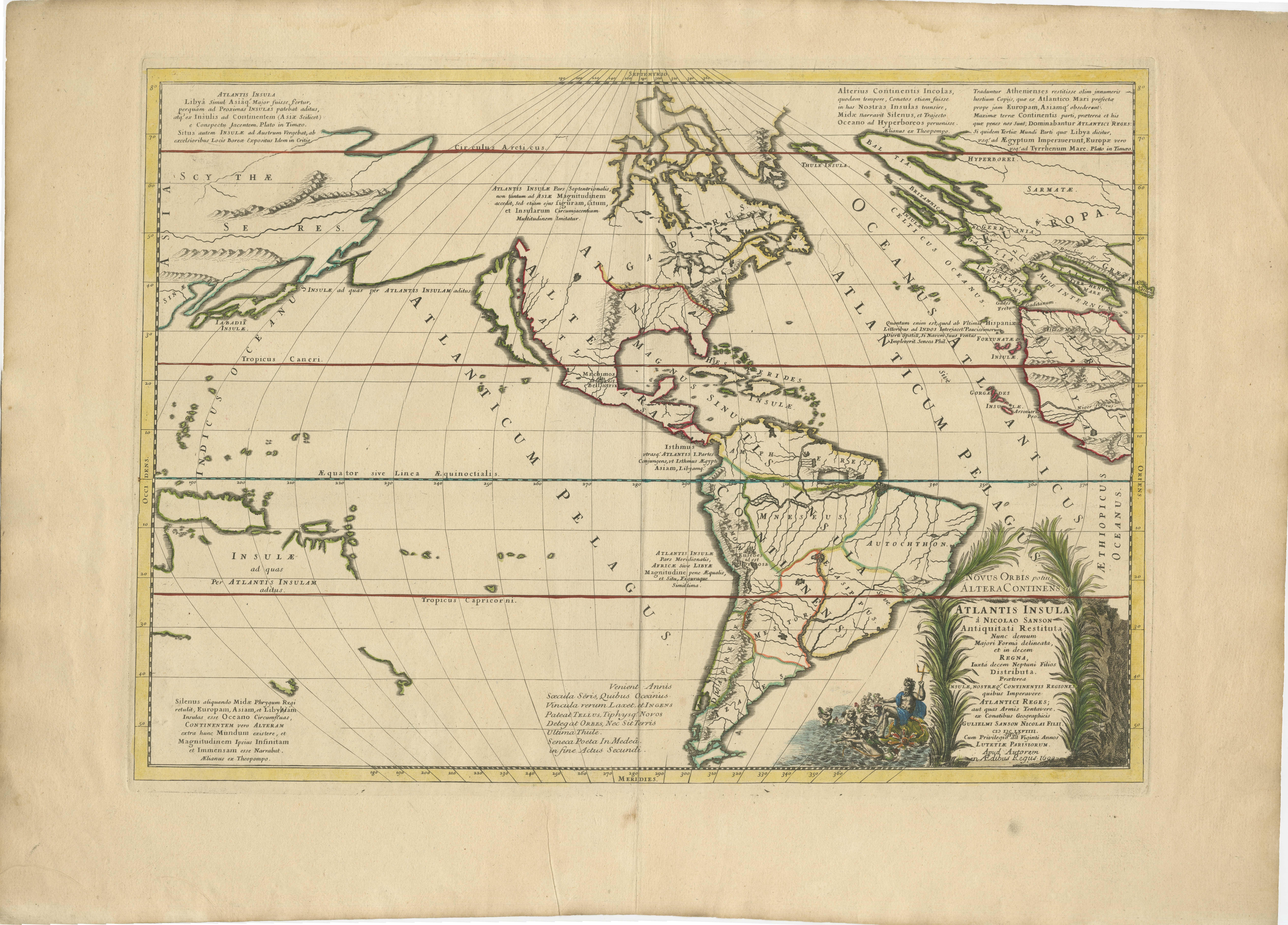
Mythical Atlantis Restored - A 1694 Map of the Americas and Ancient Geography
Located in Langweer, NL
This rare and fascinating map, titled "Atlantis Insula a Nicolao Sanson Antiquitati Restituta" by Guillaume Sanson, presents an unusual interpretation of the Western Hemisphere, comb...
Category
Antique 1690s Maps
Materials
Paper
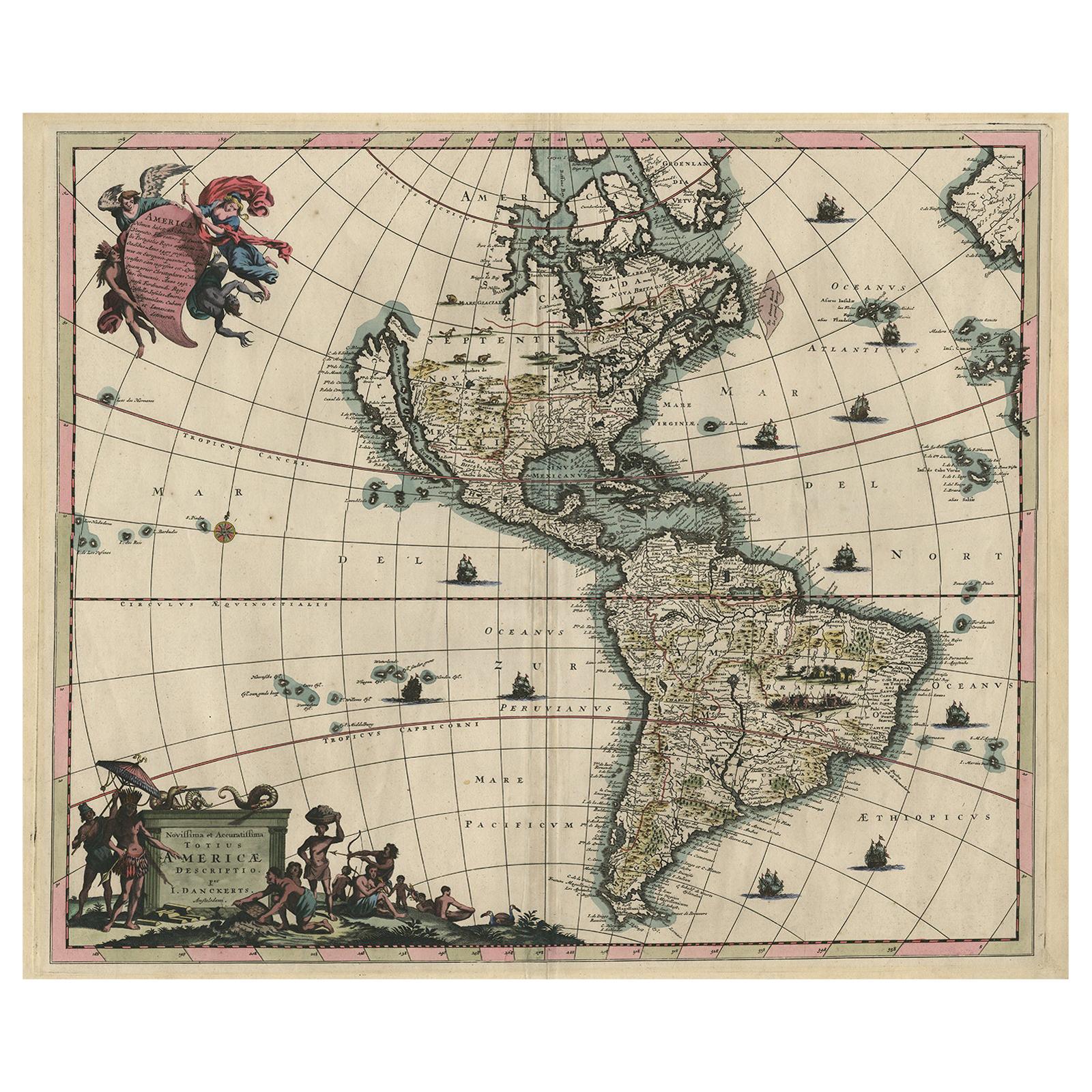
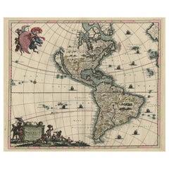
Rare Antique Map of the Americas with Island California by Danckerts, c.1680
Located in Langweer, NL
Rare Antique Map of the Americas with Island California by Justus Danckerts, ca. 1696
This exceptional antique map titled Novissima et Accuratissima Totius Americae Descriptio per I...
Category
Antique Late 17th Century Dutch Maps
Materials
Paper
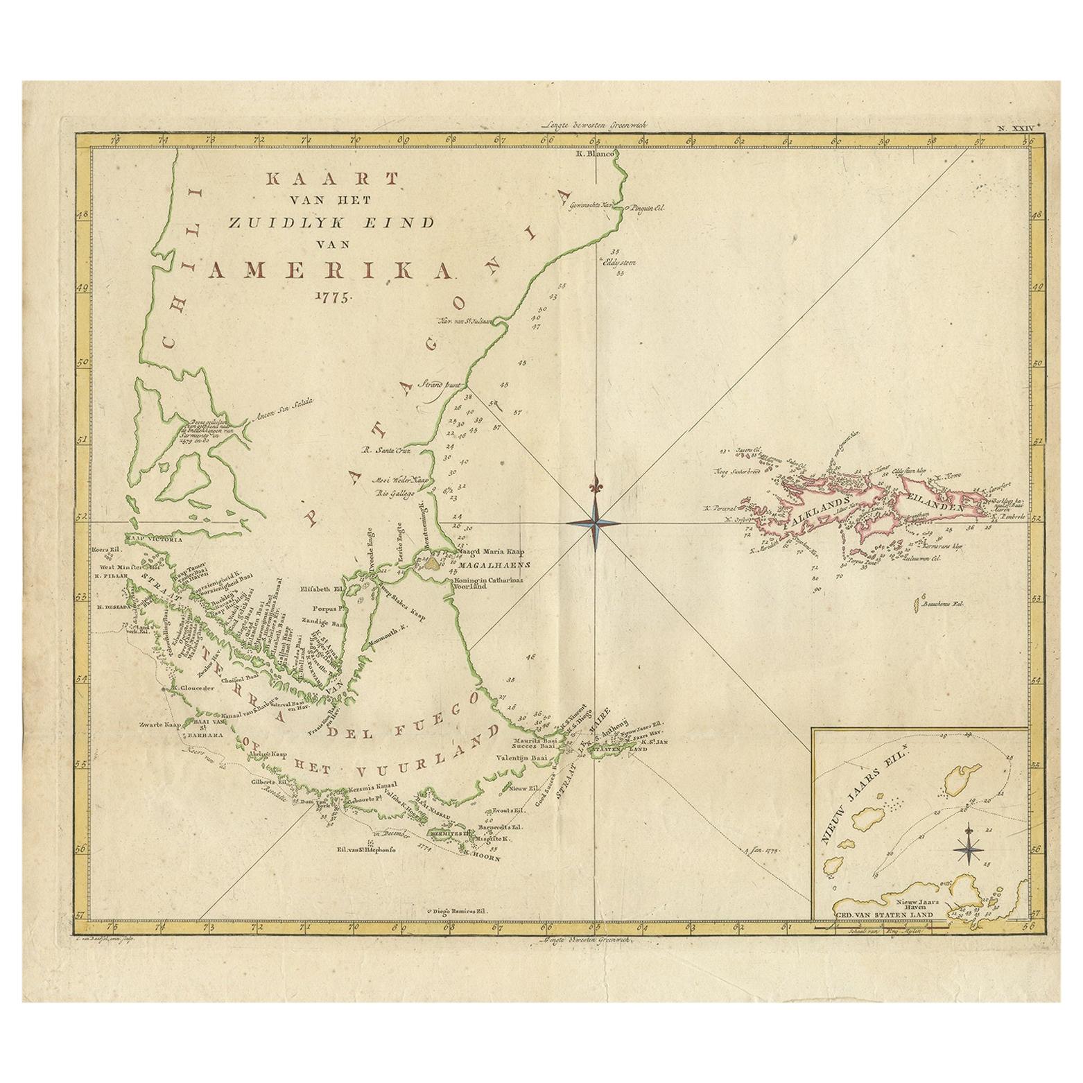
Antique Map of South America by J. Cook, 1775
Located in Langweer, NL
Antique map titled 'Kaart van het Zuidlyk Eind van Amerika'. Map of the sourthern part of South America, focusing on Cook's tracks around the Cape Horn and T...
Category
Antique Mid-18th Century Maps
Materials
Paper
$814 Sale Price
20% Off
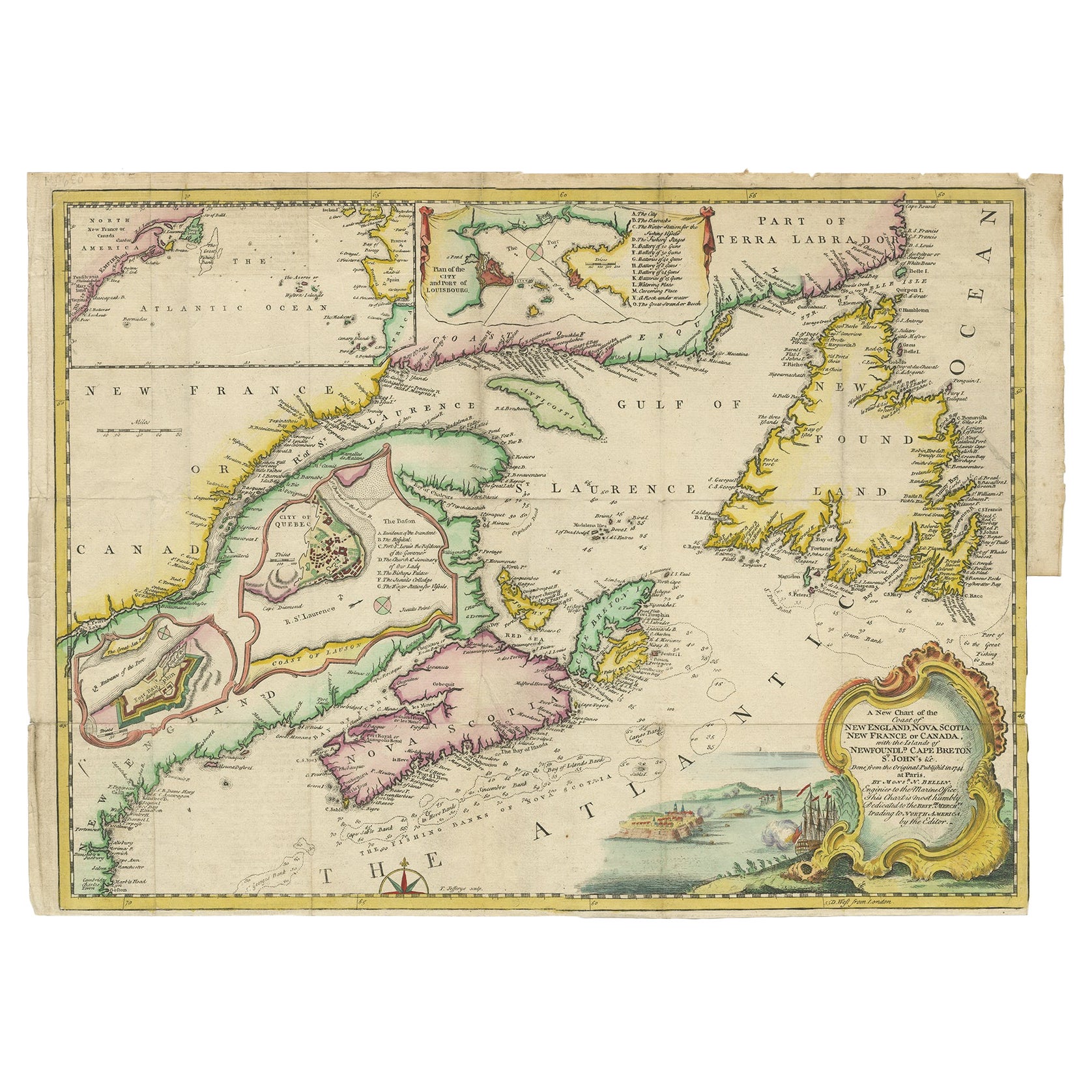
Antique Map Dedicated to British Merchants Trading to North America, ca.1746
Located in Langweer, NL
Description: Antique map titled 'A New Chart of the Coast of New England, Nova Scotia, New France or Canada, with the islands of Newfoundland, Capte Breton, St John's (..)'. Map stre...
Category
Antique 1740s Maps
Materials
Paper
$814 Sale Price
20% Off
You May Also Like
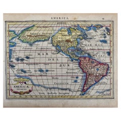
North & South America: A 17th Century Hand-colored Map by Jansson & Goos
By Johannes Janssonius
Located in Alamo, CA
A 17th century hand-colored map of North & South America entitled "Americae Descriptio" by the cartographer Johannes Jansson, published in Jansson's Atlas Minor in Amsterdam in 1628....
Category
Antique 1620s Dutch Maps
Materials
Paper
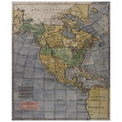
Early 19th Century Hand Coloured Map of North America by Aaron Arrowsmith
By Aaron Arrowsmith
Located in Hamilton, Ontario
Hand coloured map in French by English cartographer Aaron Arrowsmith (1750–1823) titled "Amerique Septentionale" (North America).
Map size: 9.5" x 8"
Mat size: 20.5" x 14.25".
Category
Antique Early 19th Century English Maps
Materials
Paper
$795 Sale Price
36% Off
California, Alaska and Mexico: 18th Century Hand-Colored Map by de Vaugondy
By Didier Robert de Vaugondy
Located in Alamo, CA
This is an 18th century hand-colored map of the western portions of North America entitled "Carte de la Californie et des Pays Nord-Ouest separés de l'Asie par le détroit d'Anian, ex...
Category
Antique 1770s French Maps
Materials
Paper
Original Antique Map of South America. C.1780
Located in St Annes, Lancashire
Great map of South America
Copper-plate engraving
Published C.1780
Two small worm holes to left side of map
Unframed.
Category
Antique Early 1800s English Georgian Maps
Materials
Paper
Rare Original Map of New Amsterdam (New York) – “Restitutio”, ca. 1674 –
Located in Dronten, NL
An exceptionally rare and original 17th-century engraving of New Amsterdam, now New York City, published by the renowned Amsterdam cartographer Carel (Carolus) Allard around 1674. Kn...
Category
Antique 17th Century Dutch Maps
Materials
Paper
New Map of North America from the Latest Discoveries, 1763
Located in Philadelphia, PA
A fine antique 18th century map of the North American seaboard.
Entitled "A New Map of North America from the Latest Discoveries 1763".
By the Cartographer/Engraver - John Spil...
Category
Antique Mid-18th Century English Georgian Maps
Materials
Paper
More Ways To Browse
Latin American Furniture
17th Century American Furniture
Latin America Antique
Engravings 1700
Elios Chair
Plata Lappas
Red Retro Dining Set
Antique Bouquet
Antique Silver Glasses Case
Carlo Scarpa 1934 Chairs
Christofle Marly
1900 Antique Chairs
Glass Table Italian Round
Mid Century Colonial
Alvar Aalto Poster
Geometric Metal Table
Post Modern High Chairs
United Nations
