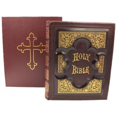
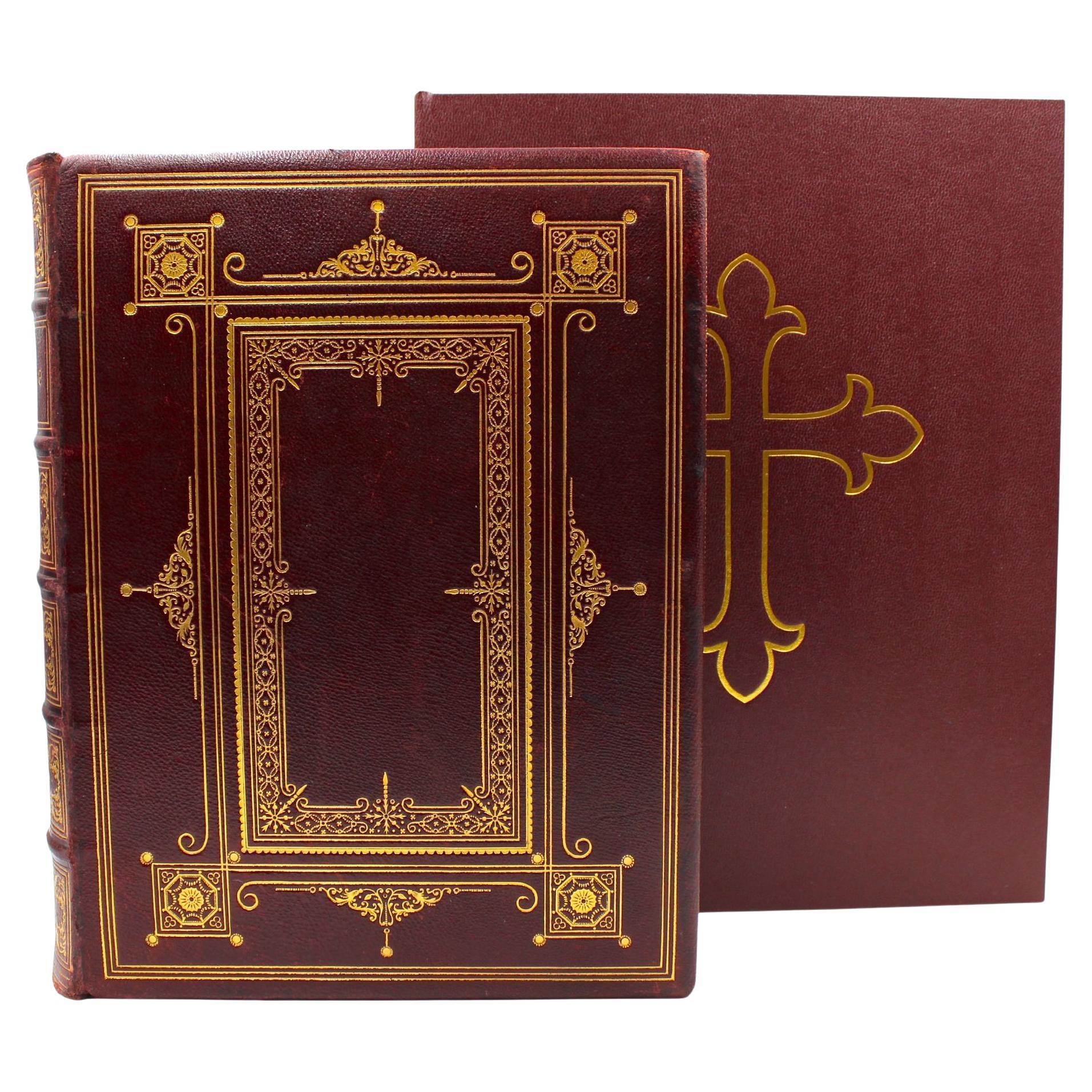
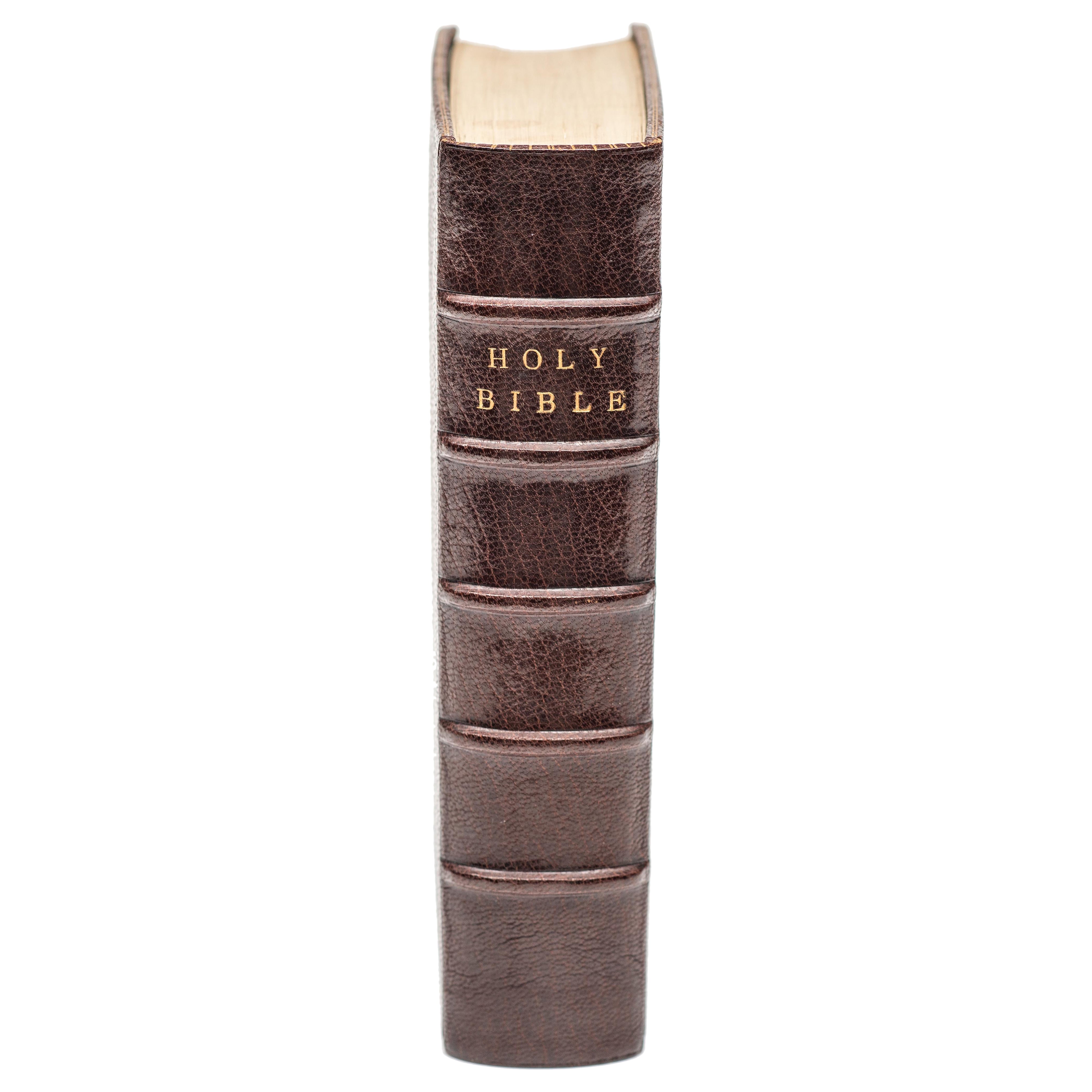
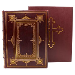
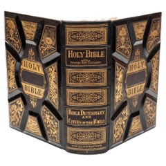
The Holy Bible, Containing the Old and New Testaments, Illustrated, 1885
View Similar Items

Want more images or videos?
Request additional images or videos from the seller
1 of 21
The Holy Bible, Containing the Old and New Testaments, Illustrated, 1885
$7,500List Price
About the Item
- Dimensions:Height: 13.75 in (34.93 cm)Width: 11.25 in (28.58 cm)Depth: 3.75 in (9.53 cm)
- Style:Gothic Revival (In the Style Of)
- Materials and Techniques:
- Place of Origin:
- Period:
- Date of Manufacture:1885
- Condition:Repaired: Conservation and stabilization by Felton Bookbinding Ltd. in Ontario, Canada, in August of 2023. Additions or alterations made to the original: New archival leather slipcase created by Felton Bookbinding Ltd. in Ontario, Canada, in August of 2023. Wear consistent with age and use. Minor losses. Minor structural damages.
- Seller Location:Colorado Springs, CO
- Reference Number:Seller: BK0994-c1stDibs: LU909735965342
About the Seller
4.9
Platinum Seller
Premium sellers with a 4.7+ rating and 24-hour response times
Established in 2010
1stDibs seller since 2011
461 sales on 1stDibs
Authenticity Guarantee
In the unlikely event there’s an issue with an item’s authenticity, contact us within 1 year for a full refund. DetailsMoney-Back Guarantee
If your item is not as described, is damaged in transit, or does not arrive, contact us within 7 days for a full refund. Details24-Hour Cancellation
You have a 24-hour grace period in which to reconsider your purchase, with no questions asked.Vetted Professional Sellers
Our world-class sellers must adhere to strict standards for service and quality, maintaining the integrity of our listings.Price-Match Guarantee
If you find that a seller listed the same item for a lower price elsewhere, we’ll match it.Trusted Global Delivery
Our best-in-class carrier network provides specialized shipping options worldwide, including custom delivery.More From This Seller
View AllThe Holy Bible, Containing the Old and New Testaments, 1887
Located in Colorado Springs, CO
The Holy Bible, Containing the Old and New Testaments, Translated out of the Original Tongues: And with the Former Translations Diligently Compared and Revised, by His Majesty’s Spec...
Category
Antique 1880s English Late Victorian Books
Materials
Leather, Paper
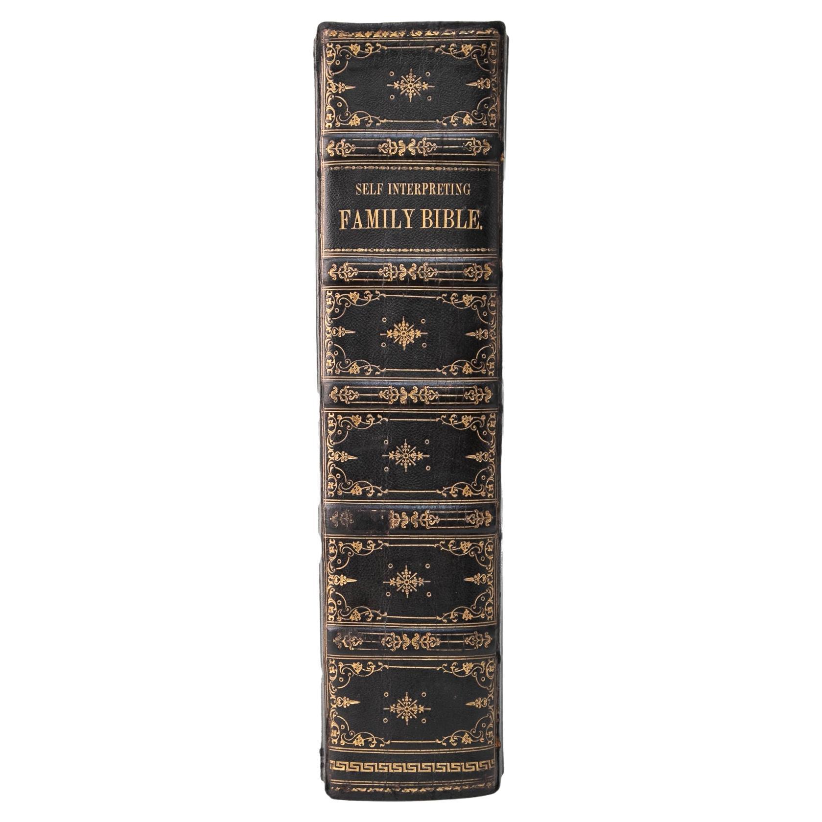
Brown’s Self-Interpreting Family Bible by the Rev. John Brown, Illustrated, 1880
Located in Colorado Springs, CO
Brown’s Self-Interpreting Bible. The Holy Bible, Containing the Old and New Testaments, According to the Authorized Versions. With an Introduction: Marginal References and Readings; Explanatory Notes and Reflections. By the Rev. John Brown, of Haddington. And Many Thousand Additional Notes by the Rev. Henry Cooke, D.D., LL.D., President, Assembly’s College, Belfast. Re-Edited, with Considerable Additions by the Rev. J. L. Porter, D.D., LL.D., Professor of Biblical Criticism, Assembly’s College, Belfast. Illustrated by Historical Designs and Scenes from Bible Lands. London: The Gresham Publishing Company, circa 1880s. Large quarto, with original full leather carved and gilt tooled boards, all edges gilt, and metal clasps. Presented with a custom-made archival clamshell box with gilt tooling.
Presented is a beautifully restored and exquisitely bound Brown’s Self-Interpreting Family Bible. Brown’s Self-Interpreting Family Bible was first published in 1778 in two volumes in Edinburgh. The Self-Interpreting Bible was Reverend Brown's most significant work and it remained in print well into the twentieth century. Although undated, this family bible was published by The Gresham Publishing Company, in London, circa 1880.
Reverend John Brown (1722-1787) was a Scottish Minister of the Gospel at Haddington. He wrote numerous works on the bible, including The Dictionary of the Bible, A General History of the Christian Church, and Brown’s Self-Interpreting Family Bible, as seen here.
The design of the Self-Interpreting Bible, Brown explained in the original preface, was “to present the labours of the best commentators in a manner that might best comport with the ability and leisure of the poorer and labouring part of mankind, and especially to render the oracles of God their own interpreter.” Thus, the work contains a thorough history, chronology, geography, and summary, as well as explanatory notes and reflections, on the Bible, both the Old and New Testaments. As this was printed as a “self-interpreting” bible, many of these notes occur in the margins, next to the pertaining scripture. This bible is further elucidated by upwards of eight thousand explanatory and critical notes by the Reverend Henry Cooke, D.D., LL.D., a minister of the Presbyterian Church and President of Assembly’s College in Belfast. It was further edited and notated by Reverend J. L. Porter, D.D., LL.D., a Professor of Biblical Criticism at Assembly’s College in Belfast.
A publisher’s advertisement for Brown’s Self-Interpreting Family Bible was printed in the January-July 1880 issue of The American Bookseller journal. The advertisement claims, “Brown’s Self-Interpreting Bible is widely and most favorably known on both sides of the Atlantic. It is pre-eminently A Family Bible, suitable alike for all the members of the household and particularly Helpful in explaining difficult passages, and admirably adapted to promote a Devotional spirit. Also, its unusually Clear Type makes it an excellent Book for Pulpit use...
Category
Antique 1880s English High Victorian Religious Items
Materials
Leather, Paper

The Robinson Crusoe by Daniel Defoe, Illustrated, 1931
Located in Colorado Springs, CO
Defoe, Daniel. The Life and Strange Surprising Adventures Robinson Crusoe of York, Mariner, as related by Himself. London: Humphrey Milford, 1931. Embe...
Category
Vintage 1930s English Books
Materials
Paper
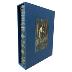
$950 Sale Price
45% Off
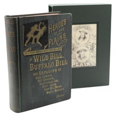
Heroes of the Plains by J. W. Buel, Illustrated, circa 1880s
Located in Colorado Springs, CO
Buel, James W. Heroes of the Plains, or Lives and Wonderful Adventures of Wild Bill, Buffalo Bill, Kit Carson, Capt. Payne, “White Beaver,” Capt. Jack, Texas Jack, California Joe, an...
Category
Antique 1880s American Late Victorian Books
Materials
Fabric, Paper
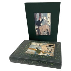
The Adventures of Pinocchio by C. Collodi, Illustrated by F. Richardson, 1927
Located in Colorado Springs, CO
Collodi, Carlo. The Adventures of Pinocchio: The Story of a Marionette. Philadelphia: The John C. Winston Company, 1927. Illustrated by Frederick Richardson. First edition thus. Octa...
Category
Vintage 1920s American Art Nouveau Books
Materials
Fabric, Paper
1863 "Lloyd's New Map of the United States, the Canadas, and New Brunswick"
Located in Colorado Springs, CO
Presented is “Lloyd's New Map of the United States, the Canadas and New Brunswick, From the latest Surveys, Showing Every Railroad & Station Finished to June 1863, and the Atlantic and Gulf Coasts.” A large, Civil War-era hanging map of the United States and adjacent territories, this map covers the area from the Atlantic Ocean and extends as far west as the 103 meridian, to “Dacotah,” Nebraska, Kansas, "Indian Territory," and Texas. The southern continuation of Florida is shown in an inset map along the right margin. This map was published by J. T. Lloyd, in New York, in 1863. According to the publisher’s marking at lower right, this map was originally issued in two states: "in Sheets, Colored" for 50 cents, and "Varnished nicely, with Rollers" for $1.
Throughout the map, the counties are colored and the towns and cities well labeled. A reference key in the bottom margin provides symbols for railroads, turnpikes and wagon roads, state capitals, cities and towns, and village post offices. As emphasized in the map’s title, this map is especially notable for the countless railway lines and stations depicted, with distances noted between points, listing “every railroad and finished station to June 1863.” Additionally, two shipping agents and their routes are drawn out of New York City. The map includes details of the steamship routes into New York and Philadelphia from Liverpool and on to California and Oregon via an overland Nicaraguan trek, presumably to assist gold rush emigrants.
This expansive and impressive map depicts the eastern half of the United States in the third year of the Civil War. In order not to recognize the legitimacy of the Confederate States of America, each state is shown in the same manner as the Union states. The only indication that the American Civil War was in progress when this map was published is a printed notice that Gideon Wells, Secretary of the Navy, wishes to acquire a quote on 100 copies of Lloyd’s Mississippi River map...
Category
Antique 1860s American Maps
Materials
Linen, Wood, Paper

You May Also Like
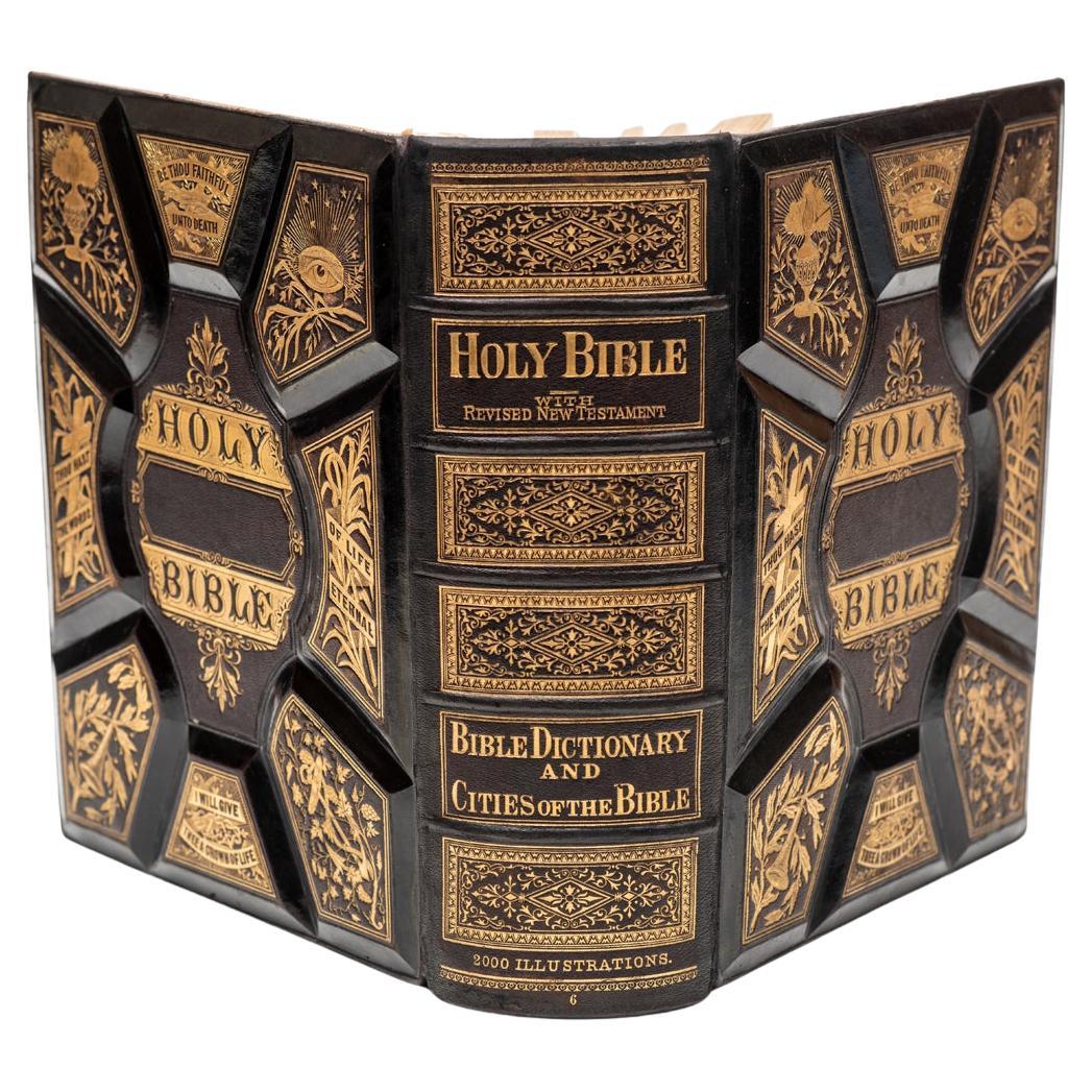
1 Volume. Anon. Holy Bible, Old And New Testaments
Located in New York, NY
1 Volume. Anon. Holy Bible, Old And New Testaments. Bound in full black morocco, ornate gilt on covers and spines, all edges gilt, raised bands, profusely illustrated with color plat...
Category
Antique 19th Century American Books
Materials
Leather
Antique Map of the Holy Land Described in the Old and New Testament, ca.1660
Located in Langweer, NL
Antique map titled 'Geographiae Sacrae ex Veteri et Novo Testamento Desumptae Tabula Prima quae Totius Orbis Partes Continet.'
Map of the lands described in the Old and New Testame...
Category
Antique 1660s Maps
Materials
Paper

$801 Sale Price
20% Off
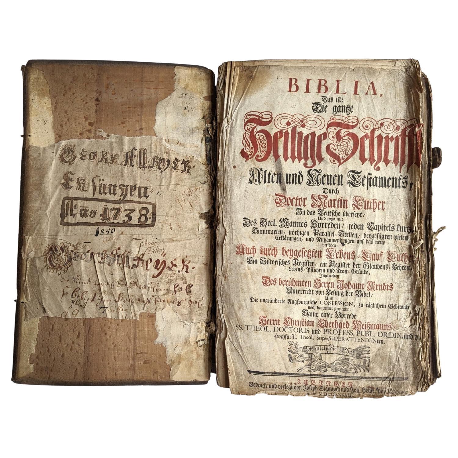
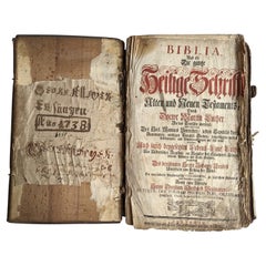
Antique German Bible 1738 Martin Luther Old and New Testament European Germany
Located in Greer, SC
Collectible antique German Luther Bible, also known as " Lutherbibel " in Germany. The Lutherbibel is a German translation by the Protestant reformer Martin Luther, a New Testament t...
Category
Antique Mid-18th Century German Other Books
Materials
Wood, Paper
1 Volume. The Holy Bible
Located in New York, NY
1 Volume. Anon. The Holy Bible. Containing The Old & New Testaments. Bound in full brown morocco by Zaehnsdorf, all edges gilt, raised bands. Published: Oxford: The University Press,...
Category
Antique Early 19th Century British Books
Materials
Leather
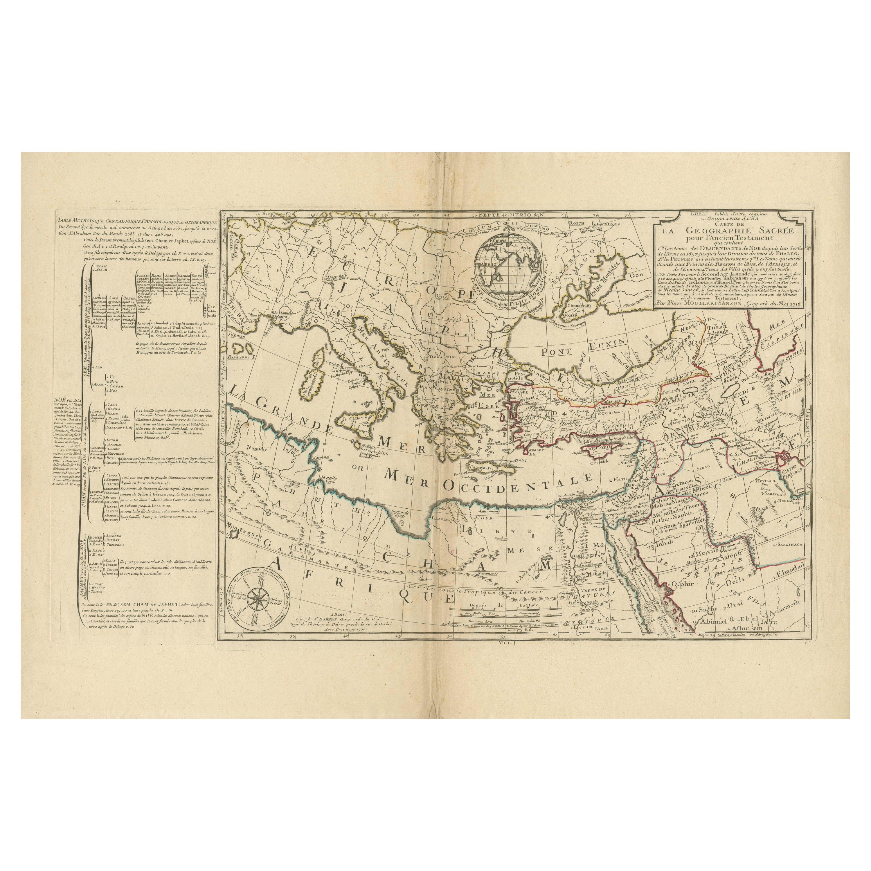
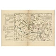
Moullart-Sanson Map of the Holy Land and Sacred Geography of the Old Testament
Located in Langweer, NL
"1716 Moullart-Sanson Map of the Holy Land and Sacred Geography of the Old Testament"
This engraved map, created by Pierre Moullart-Sanson and reissued by Robert de Vaugondy in 1740...
Category
Antique 1710s Maps
Materials
Paper
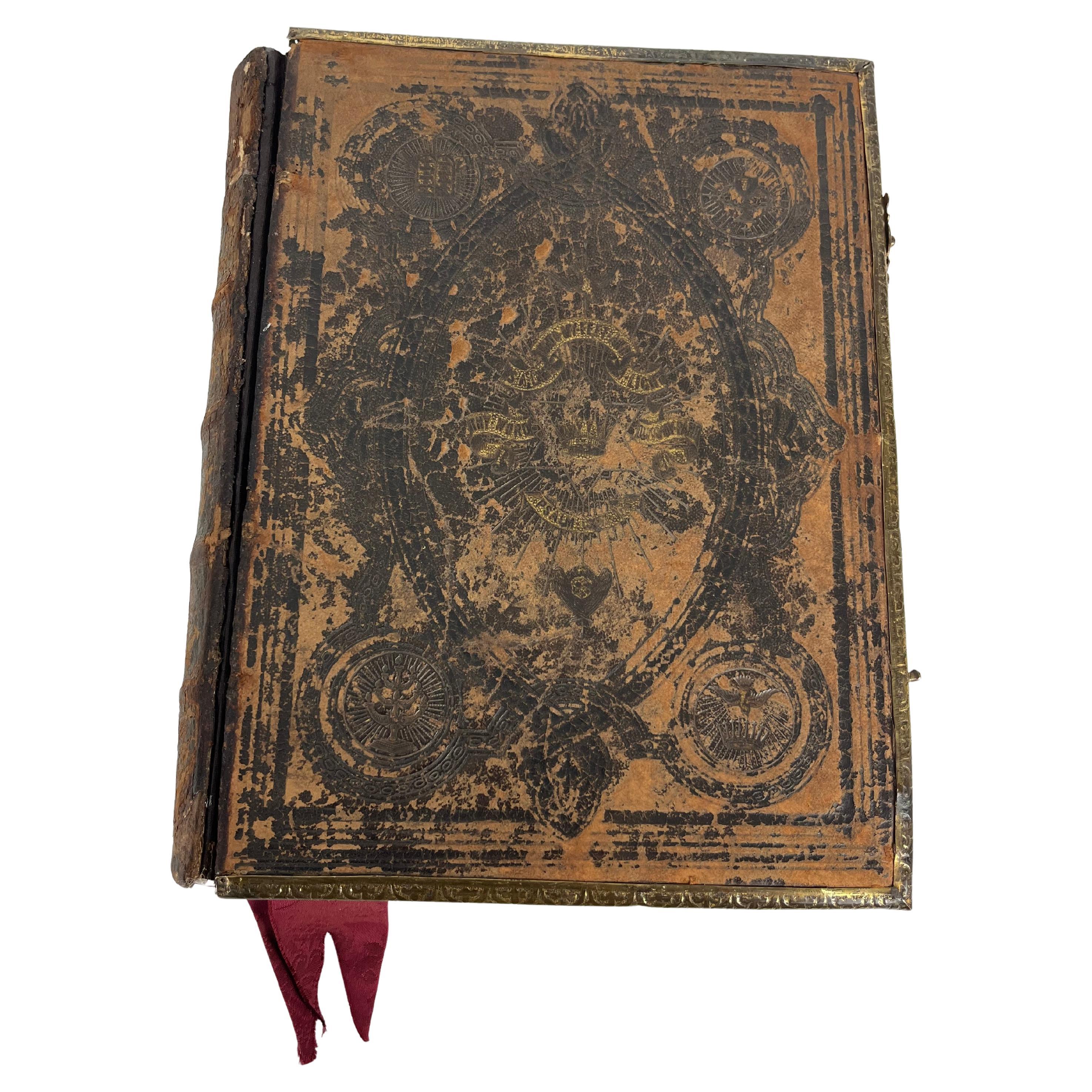
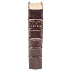
Early 19th Century English Leather Bound Illustrated Family Holy Bible
Located in Dallas, TX
Study the word of Gog with this beautiful antique Bible. Printed in Bungay, England by Brightly and Childs circa 1814, the book showcases a sturdy leather binding with a prominent re...
Category
Antique Early 19th Century English Religious Items
Materials
Leather, Paper

Recently Viewed
View AllMore Ways To Browse
Antique Family Bible
Antique Holy Bible
Family Bible
The Holy Bible
Antique Bible Box
Bible Leaf
Ancient Bible
19th Century Bible Box
Leather Map Case
Carved Bible Box
Religious Medallion
Hand Carved Virgin Mary
Used Vestments
Gothic Church Doors
Antique Prayer Stand
Judaica Menorah
Bezalel Silver
Antique and Vintage Gold Ornaments