Want more images or videos?
Request additional images or videos from the seller
1 of 8

Abraham Ortelius
AMERICAE - Sive Novi Orbis, Nova Descriptio

1587 (1603)

$4,500
£3,417.86
€3,931.17
CA$6,287.38
A$7,011.14
CHF 3,658.12
MX$86,029.36
NOK 46,561.98
SEK 44,116.46
DKK 29,339.74
Shipping
Retrieving quote...
The 1stDibs Promise:
Authenticity Guarantee,
Money-Back Guarantee,
24-Hour Cancellation

About the Item

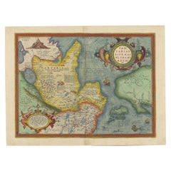
ABRAHAM ORTELIUS (1527 - 1598) AMERICAE SIVE NOVI ORBIS, NOVA DESCRIPTIO, 1587 (1603) (Van Den Broecke 11, Burden 64; Schwartz & Ehrenberg 69) Engraving. A very good, well printed example with beautiful plate tone from the 3rd plate of 1587. With Latin text and "Promittis et Postell" at the 13th line from bottom being the edition of 1603 per Van den Broecke and Burden. Plate c. 14 1/4 x 19 1/4 inches, sheet 18 1/4 x 22 inches. A very important and early map of the Western Hemisphere. Uncolored, in good condition with good size margin. Uncolored maps reveal the beauty of engraving that is often obscured by the coloring. The coloring is frequently done many years or centuries after the printing of the map. Just acquired. Photos with uneven lighting. Need to be re-shot.
  • Creator:
    Abraham Ortelius (1527 - 1598, Dutch)
  • Creation Year:
    1587 (1603)
  • Dimensions:
    Height: 14.25 in (36.2 cm)Width: 19.25 in (48.9 cm)
  • Medium:
  • Movement & Style:
  • Period:
  • Condition:
  • Gallery Location:
    Santa Monica, CA
  • Reference Number:
    1stDibs: LU41138431632

More From This Seller

View All
WORLD MAP - Planisphaerium Terrestre Sive Terrarum Orbis... 1696
By Carel Allard
Located in Santa Monica, CA
CAREL ALLARD (1648 – 1709) PLANISPHAERIUM TERRESTRE SIVE TERRARUM ORBIS… 1696 (Shirley 578) Engraving, 20 ½ x 23 ½”, sheet 21 x 24 1/8". A stunning double hemisphere World Map...
Category

17th Century Old Masters Landscape Prints

Materials

Engraving

16th c. woodcut map - Tabula Asiae Vlll
By Sebastian Münster
Located in Santa Monica, CA
SEBASTIAN MUNSTER (1488-1652) ASIAE TABVLA Vlll 1540 (45) Woodcut from Munster's edition of Geographia Universalis, Basel, Henri Petri. 1545 edit...
Category

16th Century Old Masters Landscape Prints

Materials

Woodcut

New Map of the Terraqueous Globe - WORLD MAP - CALIFORNIA AS AN ISLAND
By Edward Wells
Located in Santa Monica, CA
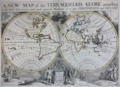
EDWARD WELLS (British 1667- 1727) A NEW MAP of the TERRAQUEOUS GLOBE - according to the latest Discoveries and most general Divisions of it into CONTINENTS and OCEANS, 1700-01 (Shirley 609) Engraved by Michael Burghers, Oxford. Hand-colored, Platemark 14 1/4 x 20 1/8 inches. Central cartouche flanked by figures representing the continents with dedication to William, Duke of Gloucester...
Category

Early 1700s Old Masters Landscape Prints

Materials

Engraving

AMERICA
By John Speed
Located in Santa Monica, CA
IMPORTANT AMERICAN MAP - ONE OF THE FIRST TO SHOW CALIFORNIA as an ISLAND JOHN SPEED (1552-1629) AMERICA - With Those Known Parts In That Unknown Worlde (sic), 1626-(76) (Burden 217 iv/iv) Engraving, uncolored. Engraved by Abraham Goos and published by Thomas Basset and Richard Chiswell - 4th state of 4 in 1676 15 1/8 x 20 1/2” From “A Prospect of the Most Famous Parts of the World”. Generally good condition. A repaired split in lower centerfold. This is the most common version of this important map...
Category

1620s Old Masters Landscape Prints

Materials

Engraving

AMERICA
$4,000 Sale Price
52% Off
PERU
By Johannes Jansson
Located in Santa Monica, CA
JOHANNES JANSSON (1588 - 1664) PERU, engraving with early coloring. Platemark 15 1/8 x 19 3/8 inches, sheet 17 x 20 1/2 A nice example of one of the earliest maps of Peru. From the ...
Category

1630s Old Masters Landscape Prints

Materials

Engraving

!6th c. VIEW OF FLORENCE
By Sebastian Münster
Located in Santa Monica, CA
SEBASTIAN MUNSTER (1488-1552) FLORENCZ - -- FIGUR UND GELEGENHEIT DER EDLEN UND HOCH BERHÜMPTEN STATT FLORENTZ. . c 1550 (Fauser, #3925.) Woodcut f...
Category

16th Century Old Masters Landscape Prints

Materials

Woodcut

You May Also Like

Northern Italy: A 16th Century Hand-colored Map by Abraham Ortelius
By Abraham Ortelius
Located in Alamo, CA
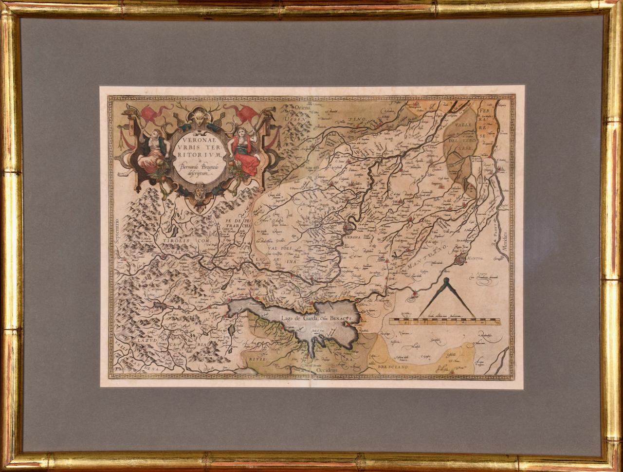
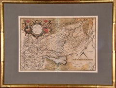
This is a framed 16th century hand-colored copperplate map of northern Italy entitled "Veronae Urbis Territorium a Bernardo Bragnolo Descriptium" by Abraham Ortelius from his atlas "Theatrum Orbis Terrarum", which was the first modern atlas of the world, with the first volume published in 1570. This map was part of a subsequent volume, published in Antwerp in 1584. It was based on an earlier map by Bernardo Brognoli. This beautiful map of northern Italy is focussed on Verona and its environs, including Mantua. Lake Garda and the South Tyrol mountains are prominently depicted. There is a very large striking cartouche in the upper left and a decorative distance scale in the lower right. This striking hand-colored map of northern Italy is presented in a gold-colored wood frame and an olive green-colored mat. It is glazed with UV conservation glass. All mounting materials used are archival. The frame measures 21.5" high by 28" wide by 0.75" deep. There is a central vertical fold, as issued, with slight separation of the lower portion of the fold. There are faint spots in the upper and right margins, but the map is otherwise in very good condition. Abraham Ortelius (also known as Ortels, Orthellius, and Wortels) (1527-1598) was a Dutch cartographer, geographer, and cosmographer. He began his career as a map colorist. In 1547 he entered the Antwerp guild of St Luke as an "illuminator of maps". He had an affinity for business from an early age and most of his journeys before 1560, were for business. He was a dealer in antiques, coins, maps, and books. 
His business income allowed him to acquire an extensive collection of medals, coins, and antiques, as well as a large library of books...
Category

16th Century Old Masters Landscape Prints

Materials

Engraving

1592 Abraham Ortelius Map "Lorraine: Lotharingiae Nova Descripti, Ric.A005
Located in Norton, MA
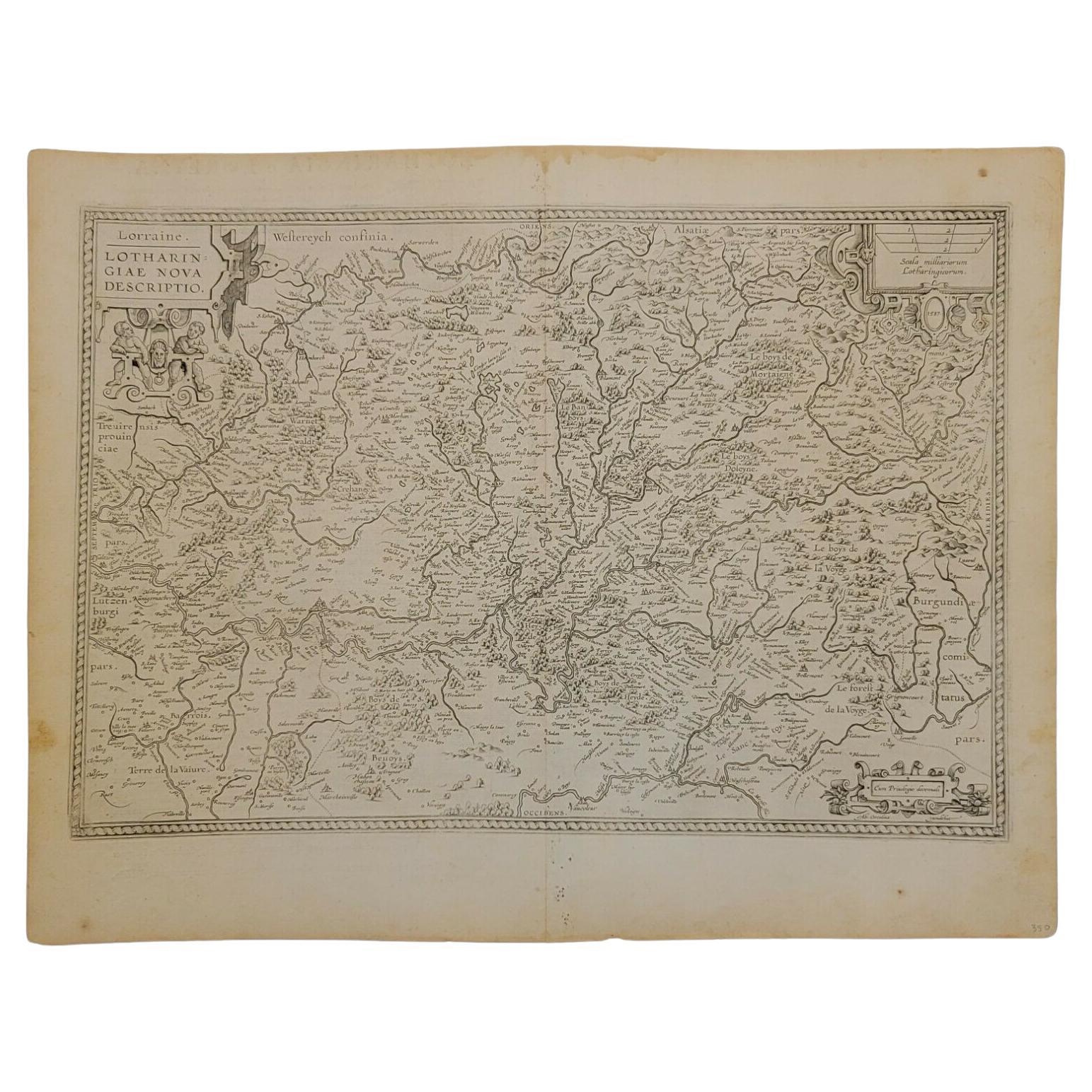
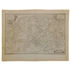
1592 Abraham Ortelius map entitled "Lorraine: Lotharingiae Nova Descripti Ric.a005 Description: Ortelius is best known for producing the atlas from which this map comes from, "...
Category

Antique 16th Century Dutch Maps

Materials

Paper

Orbis Terrarum - Etching by Johannes Janssonius - 1650s
By Johannes Janssonius
Located in Roma, IT
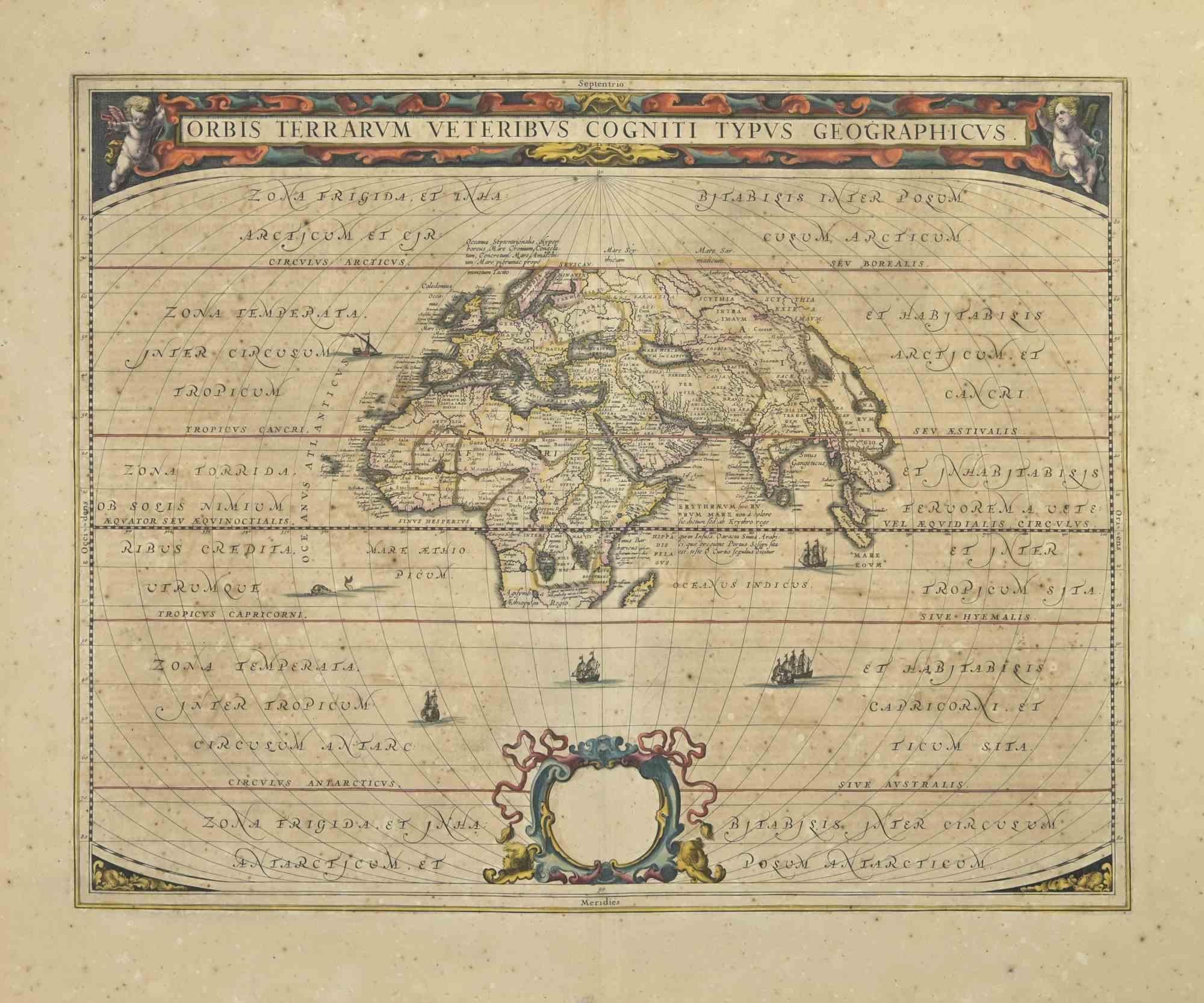
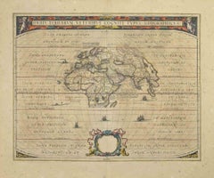
Antique Map - Orbis Terrarum is an antique map realized in 1650 by Johannes Janssonius (1588-1664). The Map is Hand-colored etching, with coeval watercoloring. Good conditions with...
Category

1650s Modern Figurative Prints

Materials

Etching

1573 Ortelius Map: First to Name California, Spanning Tartary to North America
Located in Langweer, NL
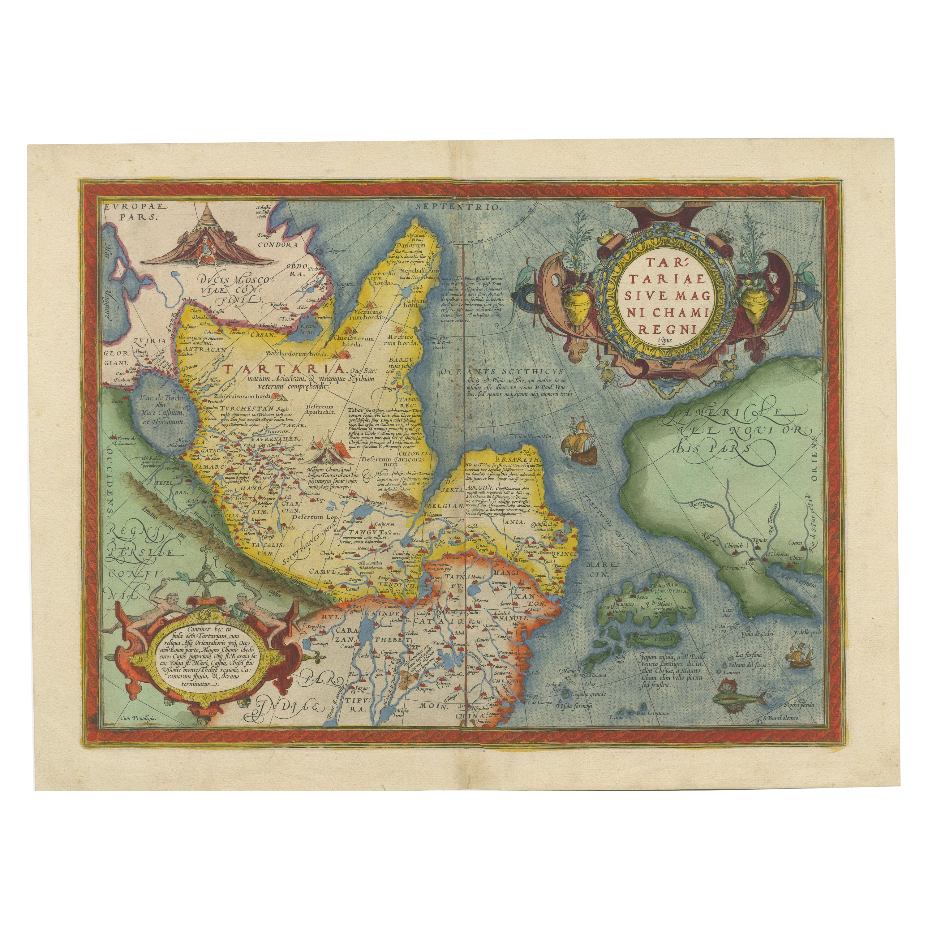
"1573 Abraham Ortelius Map of Tartary, Japan, and Western North America" Description of the Map: This is an outstanding example of Abraham Ortelius' map titled "Tartariae Sive Magn...
Category

Antique 16th Century Maps

Materials

Paper

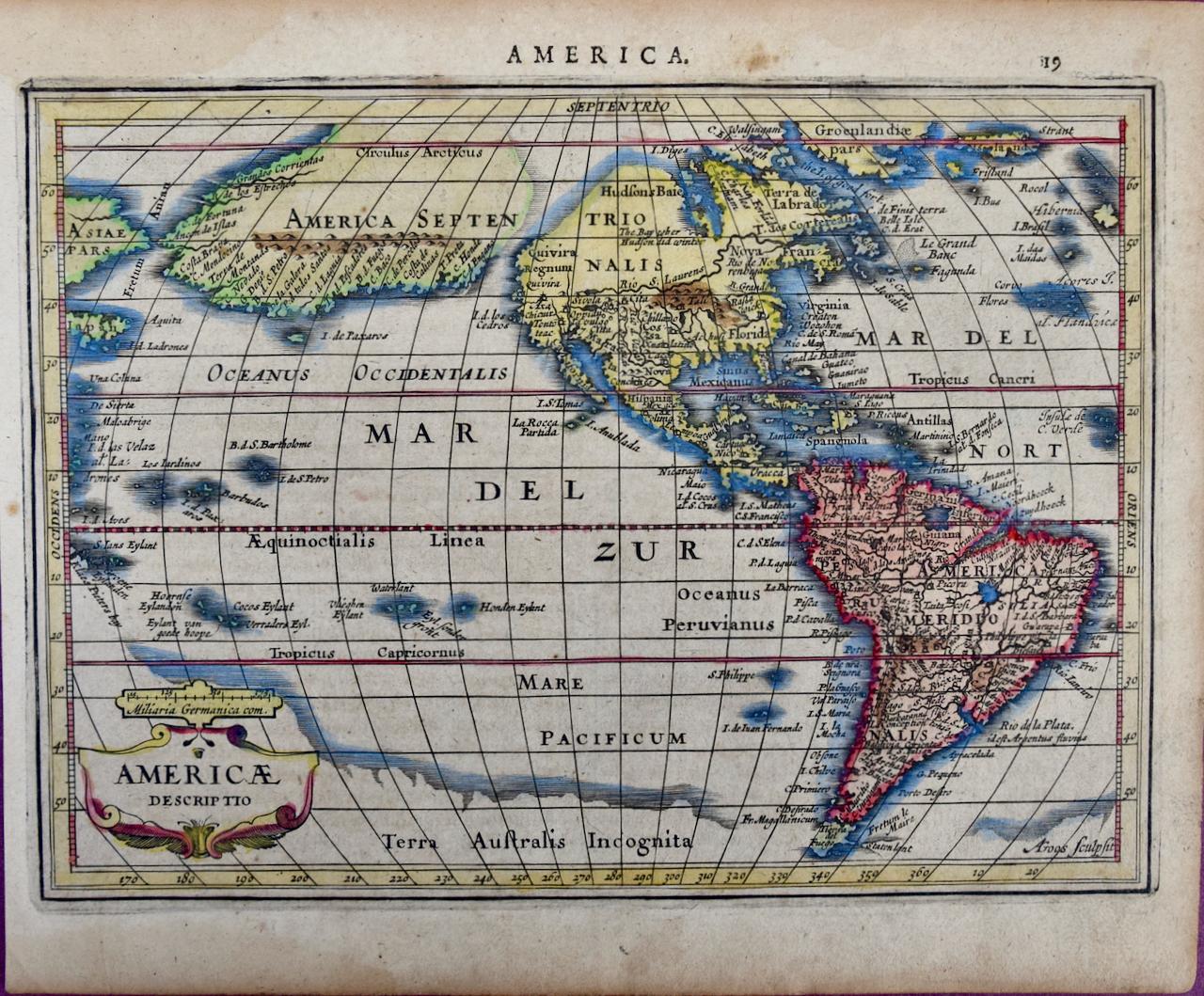
North & South America: A 17th Century Hand-colored Map by Jansson & Goos
By Johannes Jansson
Located in Alamo, CA
A 17th century hand-colored map of North & South America entitled "Americae Descriptio" by the cartographer Johannes Jansson, published in Jansson's Atlas Minor in Amsterdam in 1628....
Category

1620s Landscape Prints

Materials

Engraving

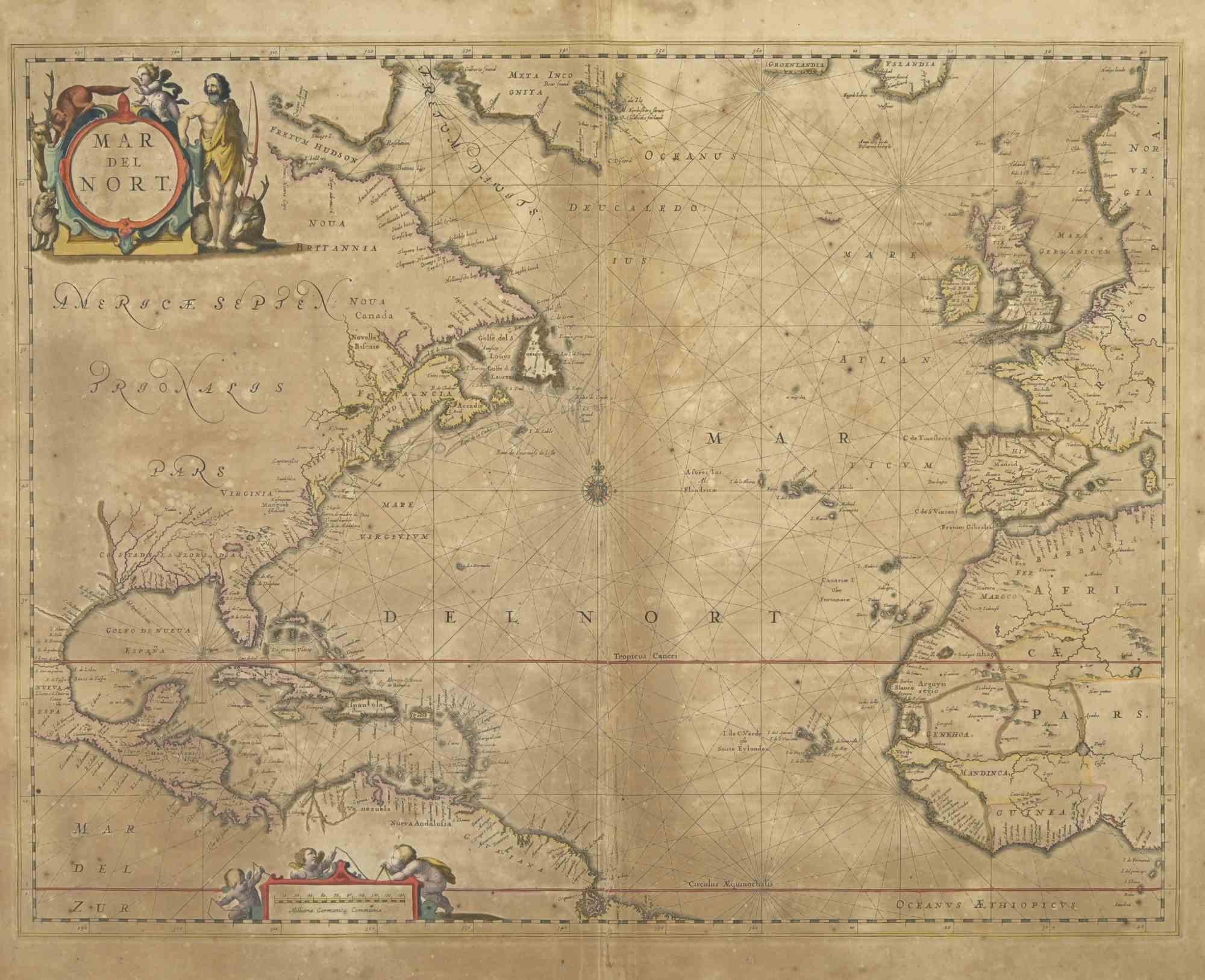
Map of Mar Del Nort - Etching by Johannes Janssonius - 1650s
By Johannes Janssonius
Located in Roma, IT
Antique Map -Mar Del Nort is an antique map realized in 1650 by Johannes Janssonius (1588-1664). The Map is Hand-colored etching, with coeval watercolorang. Good conditions with sl...
Category

1650s Modern Figurative Prints

Materials

Etching