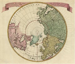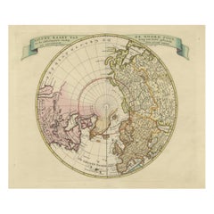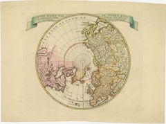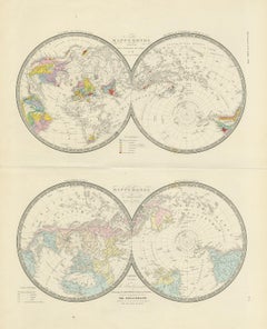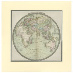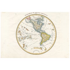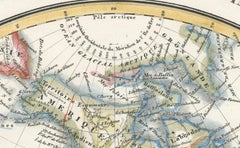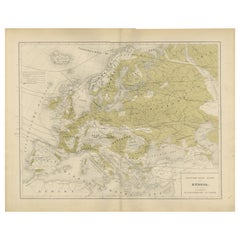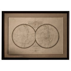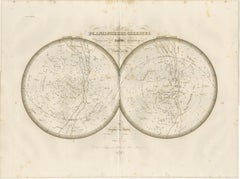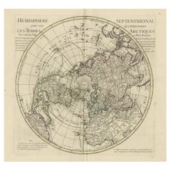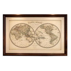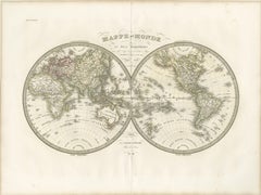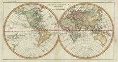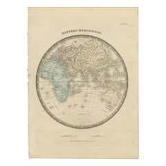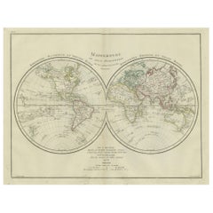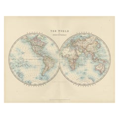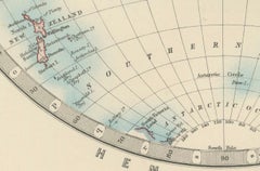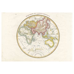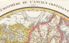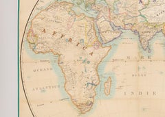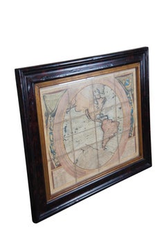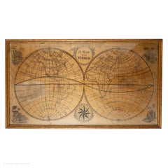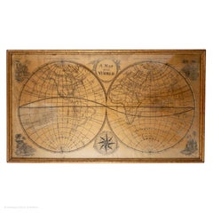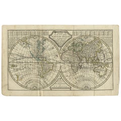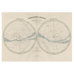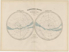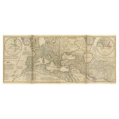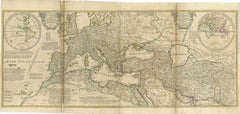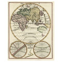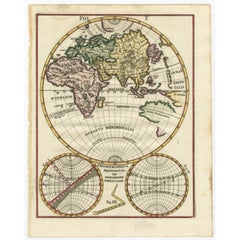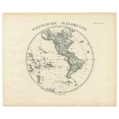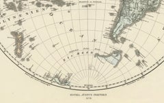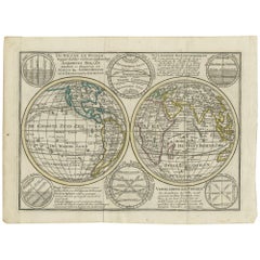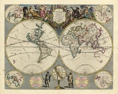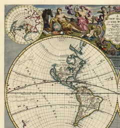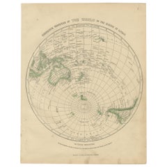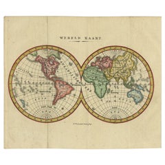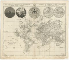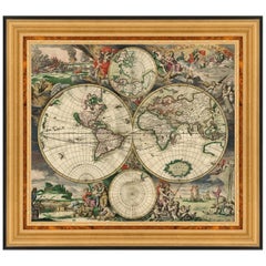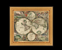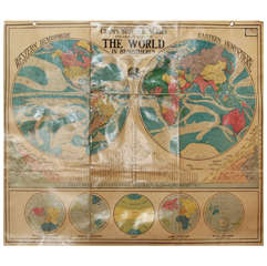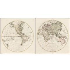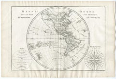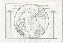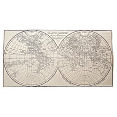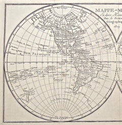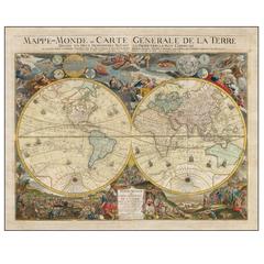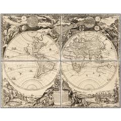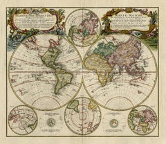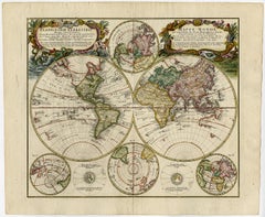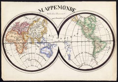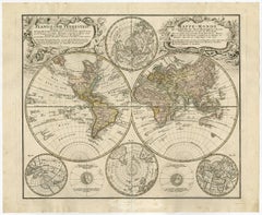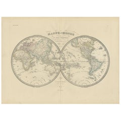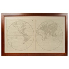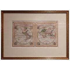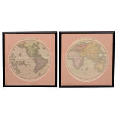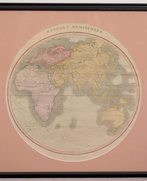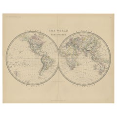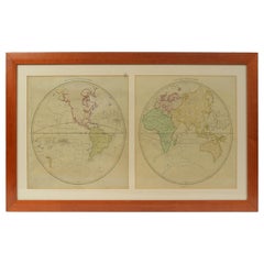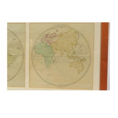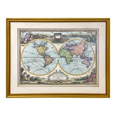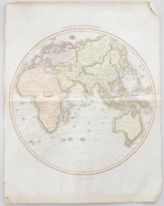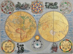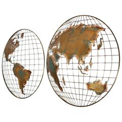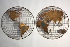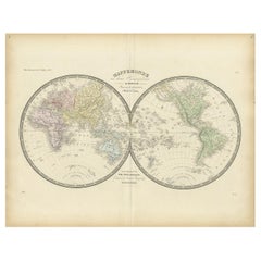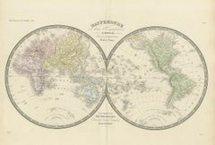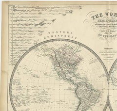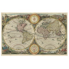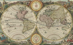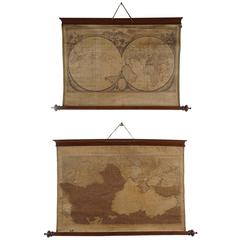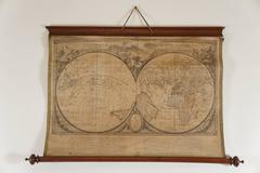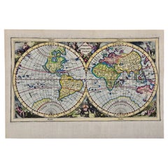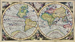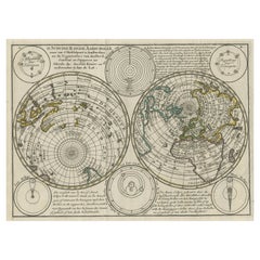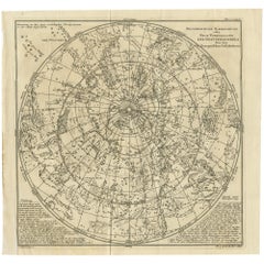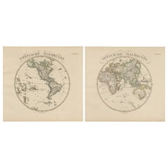
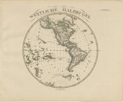
Western & Eastern Hemisphere Maps – World Double Hemisphere Engravings 1857
Located in Langweer, NL
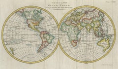
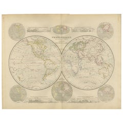
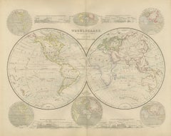
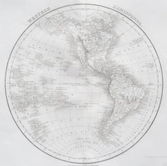
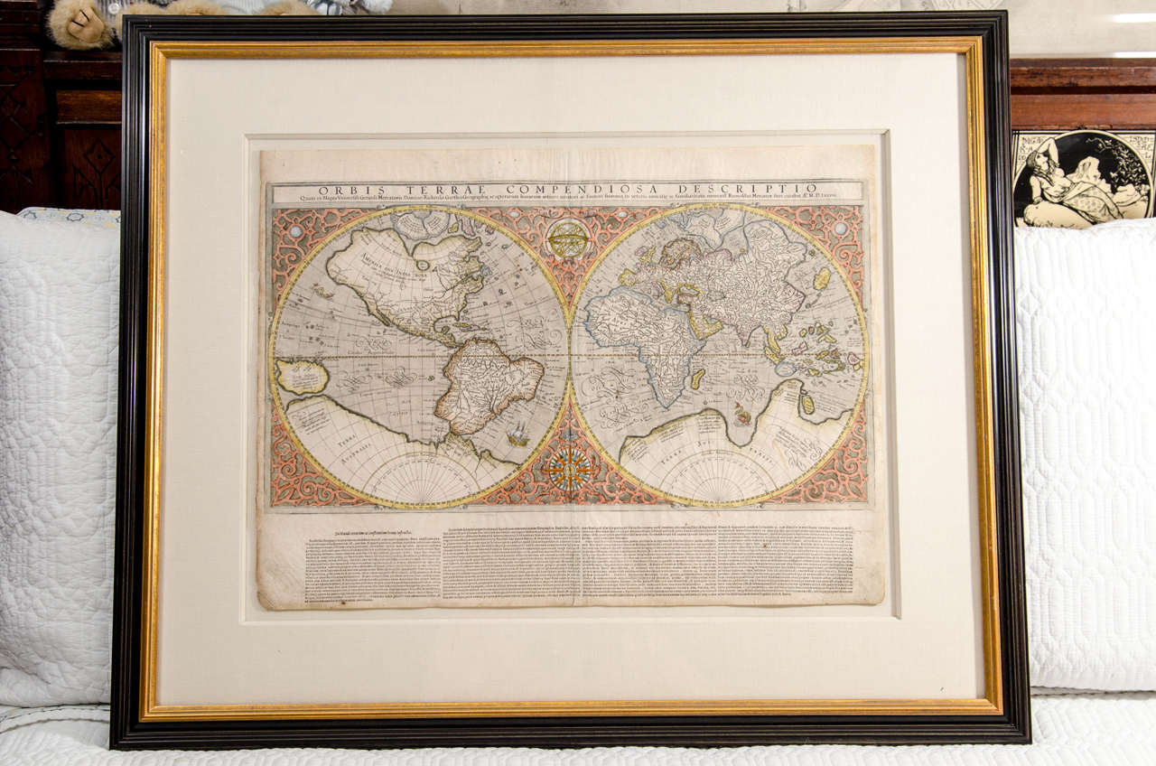
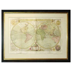
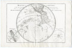
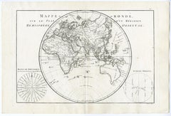
Western & Eastern Hemisphere Maps – World Double Hemisphere Engravings 1857 These beautiful antique prints show two complementary hemispheric maps titled “Westliche Halbkugel” (West...
Category
Antique Mid-19th Century German Maps
Materials
Paper