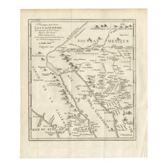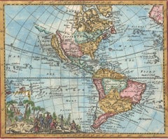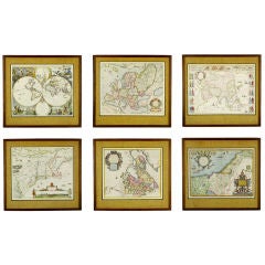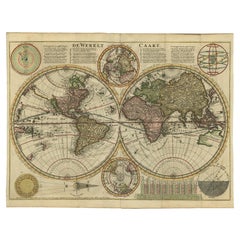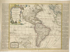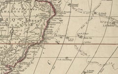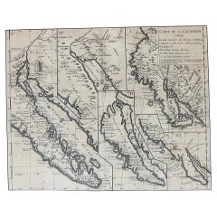
Antique Map of California as an Island "The 5 Californias" by Robert de Vaugondy
$850
H 22 in W 26 in D 1 in
Antique Map of California as an Island "The 5 Californias" by Robert de Vaugondy
Located in San Diego, CA
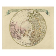
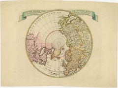
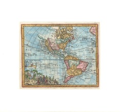
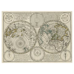
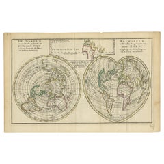
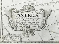
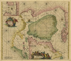
The second map is Nicholas Sanson's map of California as an Island, based upon his larger map of 1656.
Category
Antique Mid-19th Century American Maps
Materials
Paper