Items Similar to Original Antique Map of the Western Part of NEW MEXICO & CALIFORNIA


Want more images or videos?
Request additional images or videos from the seller
1 of 6
Original Antique Map of the Western Part of NEW MEXICO & CALIFORNIA
About the Item
Title: "Map of the Western Part of NEW MEXICO and CALIFORNIA According to the Latest Discoveries by the Jesuits and Others"
Description:
This exquisite original Dutch map, titled "KAART van het Westelyk Gedeelte van NIEUW MEXICO en van CALIFORNIA Volgens de laatste Ontdekkingen der Jesuiten en anderen," is a hand-colored copper engraving published in Amsterdam in 1765 by Isaak Tirion. It provides a captivating glimpse into the early exploration of the enchanting American region of New Mexico and California.
The craftsmanship of the copper engraving is evident in the precise lines and intricate details of the map. The addition of hand-colored elements brings a vibrant touch to the geographical features and topography of the area.
The "Map of the Western Part of NEW MEXICO and CALIFORNIA" showcases a vast territory extending from the Gulf of California in the west to the border of New Mexico in the east. The coastline of California is depicted in detail, featuring bays, inlets, and islands.
The map also highlights various settlements, villages, and missions, reflecting the colonization and influence of Spanish and European explorers. Names of important cities such as San Diego, Los Angeles, and San Francisco are proudly displayed, bearing witness to the early presence of European settlers in the region.
The "Map of the Western Part of NEW MEXICO and CALIFORNIA" is not only a historical document of geographical discovery but also an artwork in its own right. It seamlessly combines science, art, and history, making it a valuable piece for cartographic collectors and enthusiasts of historical and artistic works.
With its meticulous details, vibrant colors, and historical significance, this original hand-colored copper engraving by Isaak Tirion is a splendid addition to any collection, offering a captivating visual journey through the western part of New Mexico and California as observed in the 18th century.
- Dimensions:Height: 12.8 in (32.5 cm)Width: 13.71 in (34.8 cm)Depth: 0.01 in (0.05 mm)
- Materials and Techniques:Paper,Engraved
- Period:1760-1769
- Date of Manufacture:1765
- Condition:Good condition with some folds from the original work it was taken from. Please check the print carefully.
- Seller Location:Langweer, NL
- Reference Number:
About the Seller
5.0
Platinum Seller
These expertly vetted sellers are 1stDibs' most experienced sellers and are rated highest by our customers.
Established in 2009
1stDibs seller since 2017
1,928 sales on 1stDibs
Typical response time: <1 hour
- ShippingRetrieving quote...Ships From: Langweer, Netherlands
- Return PolicyA return for this item may be initiated within 14 days of delivery.
More From This SellerView All
- Antique Map of North Carolina, with inset map of the western partLocated in Langweer, NLAntique map titled 'North Carolina'. Original antique map of North Carolina, United States. With inset map of the western part of North Carolina....Category
Antique Late 19th Century Maps
MaterialsPaper
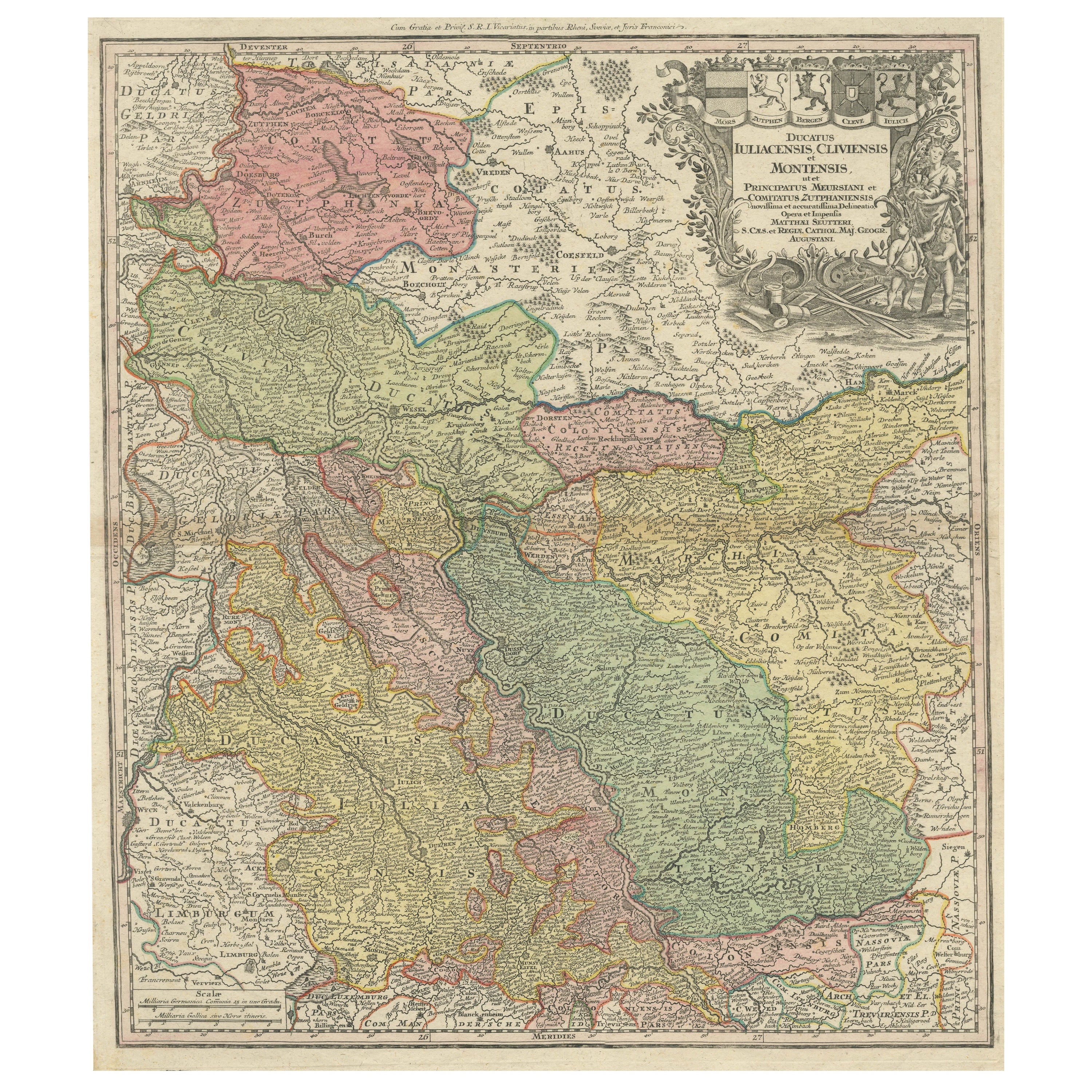
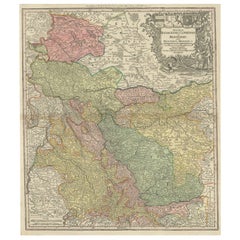
- Antique Map of Western Germany with part of the NetherlandsLocated in Langweer, NLAntique map titled 'Ducatus Iuliacensis Cliviensis et Montensis (..)'. Original old map of Western Germany with part of the Netherlands. Published by M. Seutter, circa 1750. George...Category
Antique Mid-18th Century Maps
MaterialsPaper
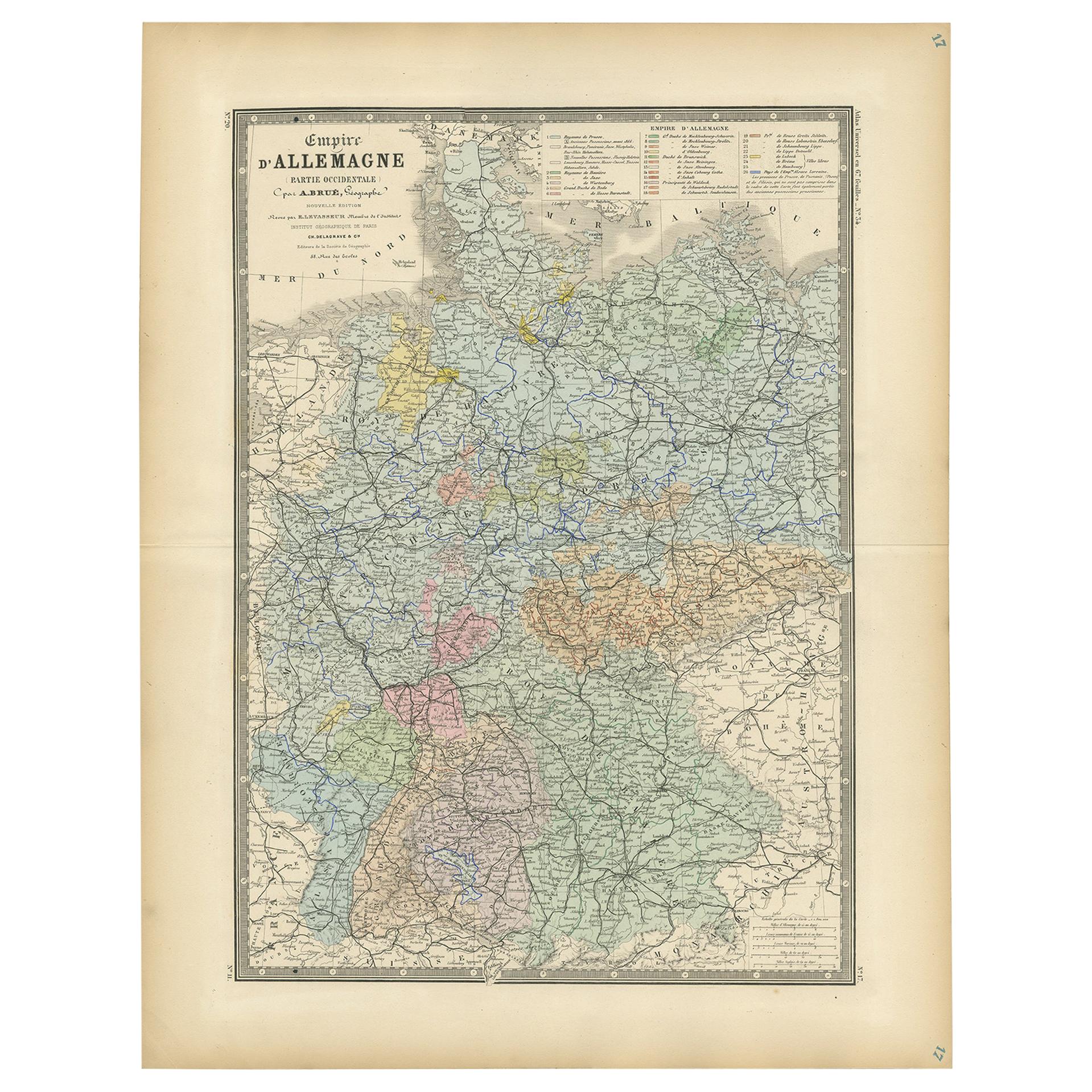
- Antique Map of the Western Part of the German Empire by Levasseur, '1875'Located in Langweer, NLAntique map titled 'Empire d'Allemagne (..)'. Large map of the western part of the German Empire. This map originates from 'Atlas de Géographie Moderne Physique et Politique' by A. L...Category
Antique Late 19th Century Maps
MaterialsPaper
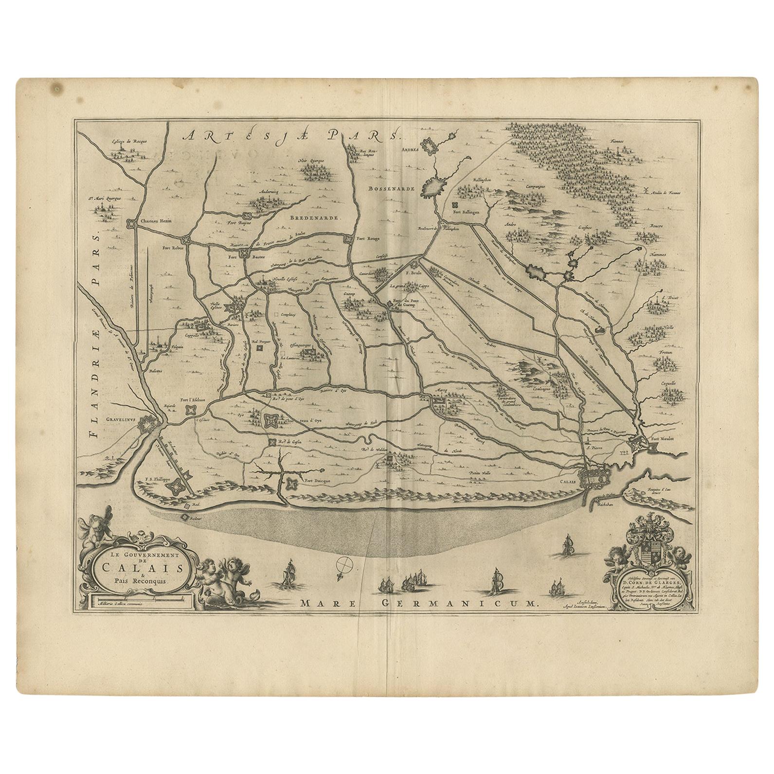
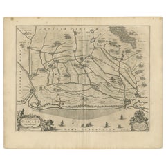
- Antique Map of the North-Western Part of France by Janssonius (c.1657)By Johannes JanssoniusLocated in Langweer, NLAntique map of France titled 'Le Gouvernement de Calais'. Attractive map of the north-western part of France including the towns of Calais, Gravelines. This map originates from 'Atla...Category
Antique Mid-17th Century Maps
MaterialsPaper
- Antique Map of California, Utah, Nevada, Colorado, New Mexico & Arizona '1872'Located in Langweer, NLAntique map titled 'Johnson's California (..)'. Original map of California, Utah, Nevada, Colorado, New Mexico and Arizona. This map originates from ...Category
Antique Late 19th Century Maps
MaterialsPaper
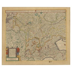
- Old Map of the Western Part of Central Europe, c.1680Located in Langweer, NLAntique map titled 'Carta nova accurate del Passagio et strada dalli Paesi Bassi'. Old map of the western portion of Central Europe. Oriented to the Northeast. Artists and Engrav...Category
Antique 17th Century Maps
MaterialsPaper


You May Also Like
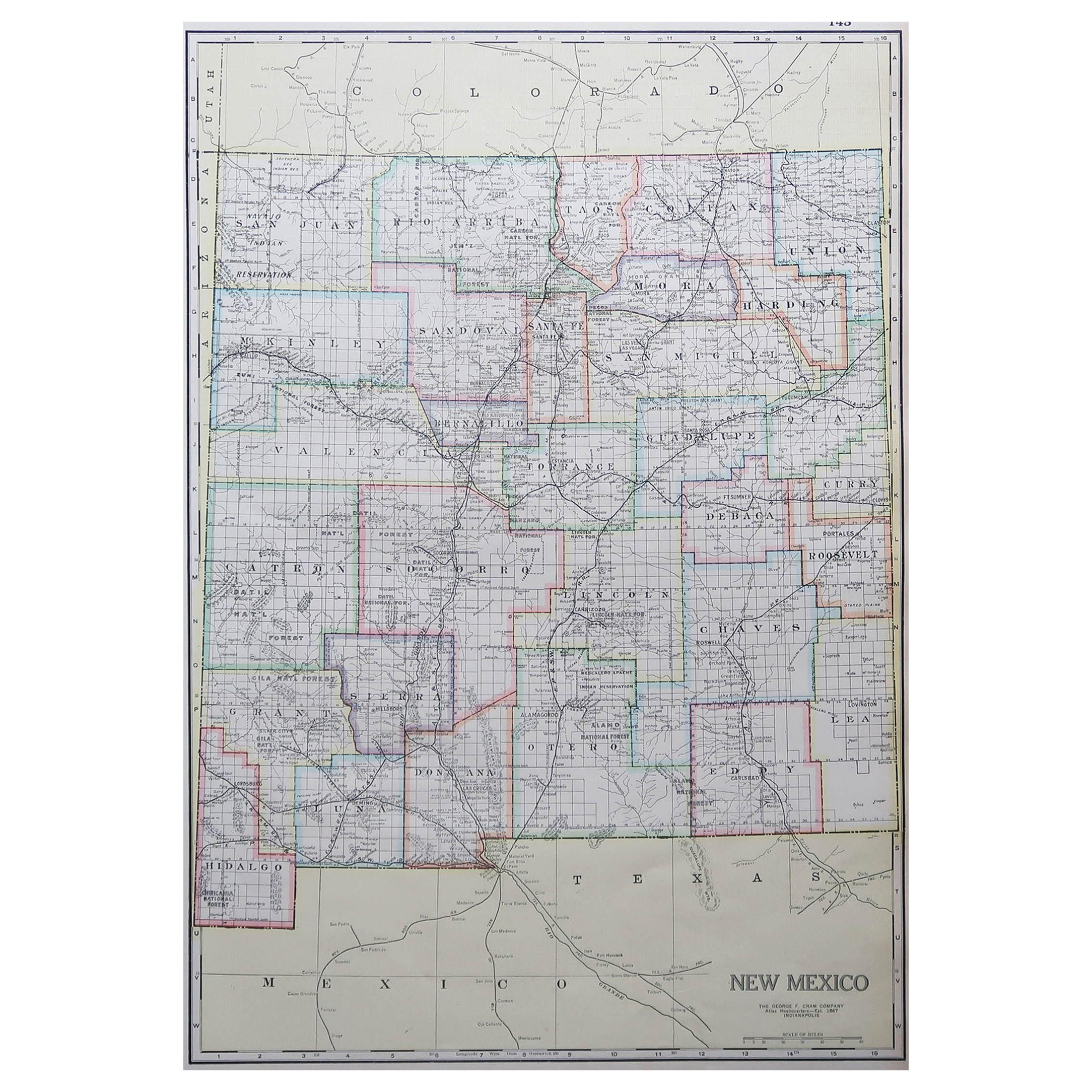
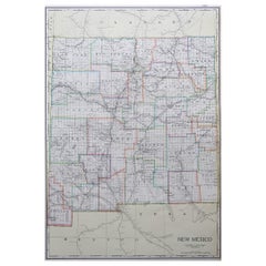
- Large Original Antique Map of New Mexico, Usa, C.1900Located in St Annes, LancashireFabulous map of New Mexico. Original color. Engraved and printed by the George F. Cram Company, Indianapolis. Published, C.1900. Unframed. Free shipping.Category
Antique 1890s American Maps
MaterialsPaper
- 1865 "Johnson's California, Utah, Nevada, Colorado, New Mexico, Arizona" MapLocated in Colorado Springs, COPresented is an original 1865 "Johnson's California, with Territories of Utah, Nevada, Colorado, New Mexico, and Arizona” map. First published in 1864, thi...Category
Antique Mid-19th Century Maps
MaterialsPaper
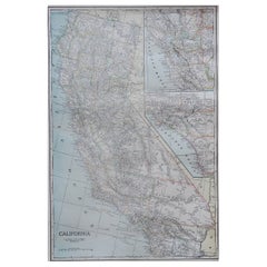
- Large Original Antique Map of California, USA, circa 1900Located in St Annes, LancashireFabulous map of California Original color Engraved and printed by the George F. Cram Company, Indianapolis. Published, circa 1900 Unframed Free shipping.Category
Antique 1890s American Maps
MaterialsPaper
- 1840 "New Map of the City of New York With Part of Brooklyn & Williamsburg"Located in Colorado Springs, COPresented is a hand-colored, engraved folding map titled "New Map of the City of New York With Part of Brooklyn & Williamsburg" by J. Calvin Smith. The map was issued bound in the bo...Category
Antique 1840s American Maps
MaterialsPaper
- 1847 Antique Map of Mexico, Texas and California by Samuel Augustus MitchellBy Samuel Augustus Mitchell 1Located in Colorado Springs, COPresented is the second edition of Samuel Augustus Mitchell's Map of Mexico, Including Yucatan & Upper California, an important map showing the progress of the Mexican-American War. ...Category
Antique 1840s American Maps
MaterialsPaper
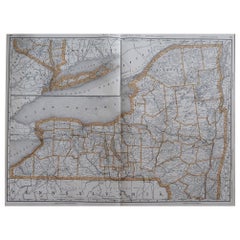
- Large Original Antique Map of New York, USA, 1894By Rand McNally & Co.Located in St Annes, LancashireFabulous map of New York. Original color. By Rand, McNally & Co. Published, 1894 Unframed Free shipping.Category
Antique 1890s American Maps
MaterialsPaper


Recently Viewed
View AllMore Ways To Browse
Britton And Rey Lithograph
Collectible Barbies
Marthas Vineyard Map
Vintage Marthas Vineyard Map
Buying Design
Map Of New England
Map Sumatra
Munster Map
Antique Map Of Sri Lanka
Pirate Map
Chinese Plague
The Lopper
Map Of Liverpool
Georgetown Antique
Antique Map Mexico City
Arabic Map
19th Century Nautical Lithograph
Authentic Pirate