Items Similar to 1865 "Johnson's California, Utah, Nevada, Colorado, New Mexico, Arizona" Map

Want more images or videos?
Request additional images or videos from the seller
1 of 9
1865 "Johnson's California, Utah, Nevada, Colorado, New Mexico, Arizona" Map
About the Item
Presented is an original 1865 "Johnson's California, with Territories of Utah, Nevada, Colorado, New Mexico, and Arizona” map. First published in 1864, this map was issued as pages 66 and 67 in the 1865 edition of “Johnson's New Illustrated (Steel Plate) Family Atlas.” The map is engraved, with attractive hand coloring and a decorative strapwork border. The state of California is colored by county. Colored with a light wash are Nevada, Utah, Colorado, Arizona, and New Mexico. Depicted but not colored are the neighboring states and territories of Oregon, Idaho, Nebraska, Kansas, Texas, and Mexico.
The map is beautifully detailed. Rivers and mountain ranges are all mapped and labeled. There is very little development in Arizona and New Mexico. In California, there is a lot of new development, especially near gold and mining districts. Virginia City in Nevada, another mining area, is similarly very well detailed. Some areas near Salt Lake and parts of Colorado show more development. There are notes on wagon routes, mail routes, Native American tribes, and forts, and geological data showing mining and mineral deposits. The “Proposed RR routes for Central Pacific RR by Gov. Stevens” is also marked on the map.
This 1865 Johnson and Ward publication of “Johnson's New Illustrated (Steel Plate) Family Atlas” was written by Richard Swainson Fisher, M.D. Fisher was also the author of "Colton's General Atlas of the World," "The Gazetteer of the United States," and a past editor of the Journal of American Geographical and Statistical Society. The publishing company of Johnson and Ward was a successor to Johnson and Browning, themselves a successor to the famous publishing company, J. H. Colton and Company. A combination of both new plates and older, updated ones, all of the maps in this atlas were compiled, drawn, and engraved under the supervision of J. H. Colton and A. J. Johnson. The new plates, copyrighted by A.J. Johnson, were made exclusively for Johnson's New Illustrated Family Atlas. Others are the same as used in "Colton's General Atlas."
This early 1865 issued atlas offered a really unique and timely snapshot of the United States just after the Civil War. In addition to the maps, the atlas had several pages of American history, recent federal census data, and geographical and statistical notes. The highlight was its “Chronological History of the Civil War in America” with battle records and dates. It also contained updates on the assassination of Abraham Lincoln and subsequent pursuit and death of John Wilkes Booth and included two Civil War-era maps, one of the “Vicinity of Richmond and Peninsular Campaign in Virginia” and the “New Military Map of the United States.”
Condition: Fine condition overall. Hand Colored. Plate 66 and 67 from “Johnson's New Illustrated (Steel Plate) Family Atlas.” Strapwork border. Colored by county in California. Colored with a light watercolor wash in Nevada, Utah, Colorado, Arizona, and New Mexico. Uncolored in neighboring states and territories of Oregon, Idaho, Nebraska, Kansas, Texas, and Mexico. Publisher's Copyright line at bottom: "Entered according to Act of Congress, in the year of 1864, by A. J. Johnson, in the Clerks Office of the District Court of the United States for the Southern District of New York." Toning, few areas of foxing. Loss to bottom margin.
- Dimensions:Height: 22.5 in (57.15 cm)Width: 30.5 in (77.47 cm)Depth: 0.75 in (1.91 cm)
- Materials and Techniques:
- Period:
- Date of Manufacture:1865
- Condition:Additions or alterations made to the original: Map has been artfully and archivally framed with acid-free mats, UV conservation clear glass, and a custom-built wooden frame. Framing by Rio Grande Framing Co in Colorado Springs, CO in October of 2023. Wear consistent with age and use. Toning, few areas of foxing. Loss to bottom margin.
- Seller Location:Colorado Springs, CO
- Reference Number:
About the Seller
4.9
Platinum Seller
These expertly vetted sellers are 1stDibs' most experienced sellers and are rated highest by our customers.
Established in 2010
1stDibs seller since 2011
400 sales on 1stDibs
Typical response time: <1 hour
- ShippingRetrieving quote...Ships From: Colorado Springs, CO
- Return PolicyA return for this item may be initiated within 10 days of delivery.
More From This SellerView All
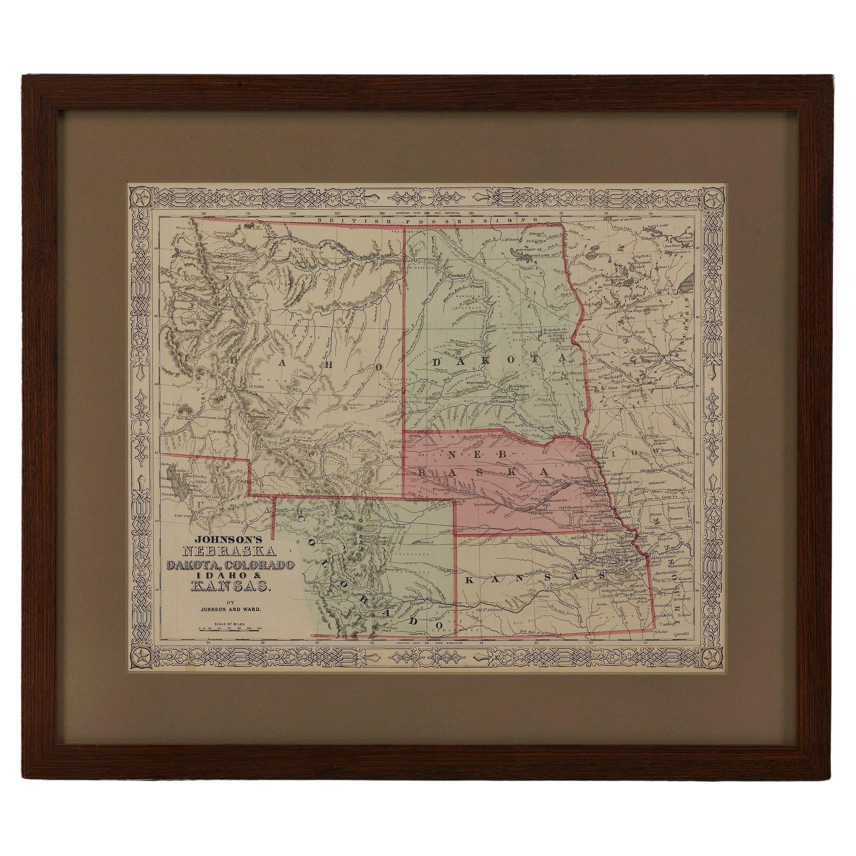
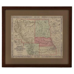
- 1865 "Johnson's Nebraska, Dakota, Colorado, Idaho & Kansas" Map, Johnson & WardLocated in Colorado Springs, COPresented is an original 1865 "Johnson's Nebraska, Dakota, Colorado, Idaho & Kansas” map. This map was issued as page 63 in the 1865 edition of “Johnson's N...Category
Antique Mid-19th Century Maps
MaterialsPaper
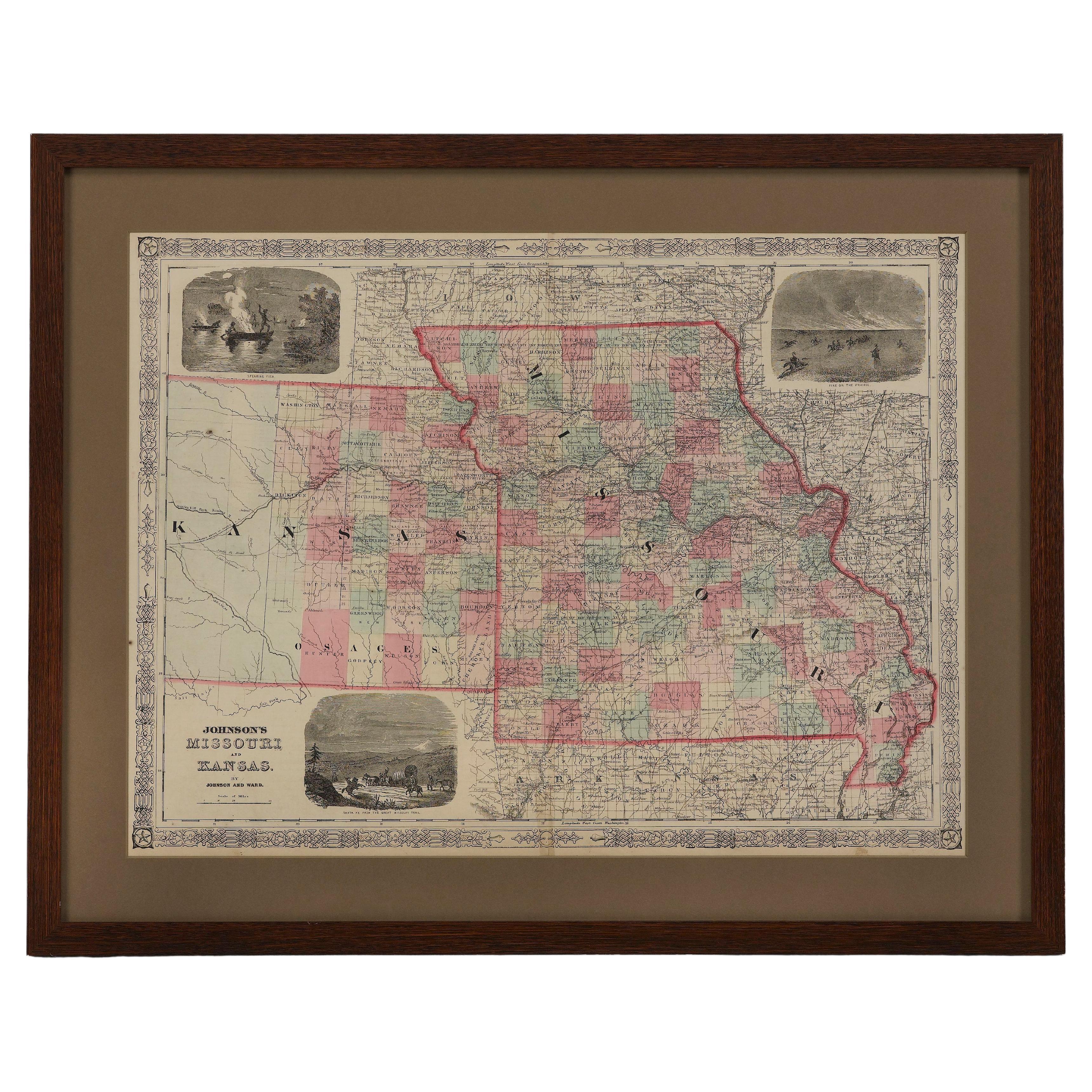
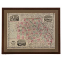
- 1865 "Johnson's Missouri and Kansas" Map by Johnson and WardLocated in Colorado Springs, COPresented is an original 1865 "Johnson's Missouri and Kansas” map. This map was issued as pages 59 and 60 in the 1865 edition of “Johnson's New Illustrated ...Category
Antique Mid-19th Century Maps
MaterialsPaper
- 1873 "Map of the States of California and Nevada" by Chas. Drayton GibbesLocated in Colorado Springs, COPresented is Warren Holt and Charles Drayton Gibbes' 1873 “Map of California and Nevada.” This map is considered to be one of the finest large-scale ...Category
Antique 1870s American Maps
MaterialsPaper
- 1907 Map of Colorado, Antique Topographical Map, by Louis NellLocated in Colorado Springs, COThis highly detailed pocket map is a topographical map of the state of Colorado by Louis Nell from 1907. The map "has been complied from all availabl...Category
Antique Early 1900s American Maps
MaterialsPaper
- 1847 Antique Map of Mexico, Texas and California by Samuel Augustus MitchellBy Samuel Augustus Mitchell 1Located in Colorado Springs, COPresented is the second edition of Samuel Augustus Mitchell's Map of Mexico, Including Yucatan & Upper California, an important map showing the progress of the Mexican-American War. ...Category
Antique 1840s American Maps
MaterialsPaper
- 1859 "Colton's New Map of the State of Texas..." by Johnson & BrowningLocated in Colorado Springs, COPresented is "Colton's New Map of the State of Texas Compiled from De Cordova's Large Map", published in Alivin J. Johnson’s “New Illustrated Family Atlas.” The map was published in ...Category
Antique 1850s American Maps
MaterialsPaper


You May Also Like
- Antique Map of California, Utah, Nevada, Colorado, New Mexico & Arizona '1872'Located in Langweer, NLAntique map titled 'Johnson's California (..)'. Original map of California, Utah, Nevada, Colorado, New Mexico and Arizona. This map originates from ...Category
Antique Late 19th Century Maps
MaterialsPaper
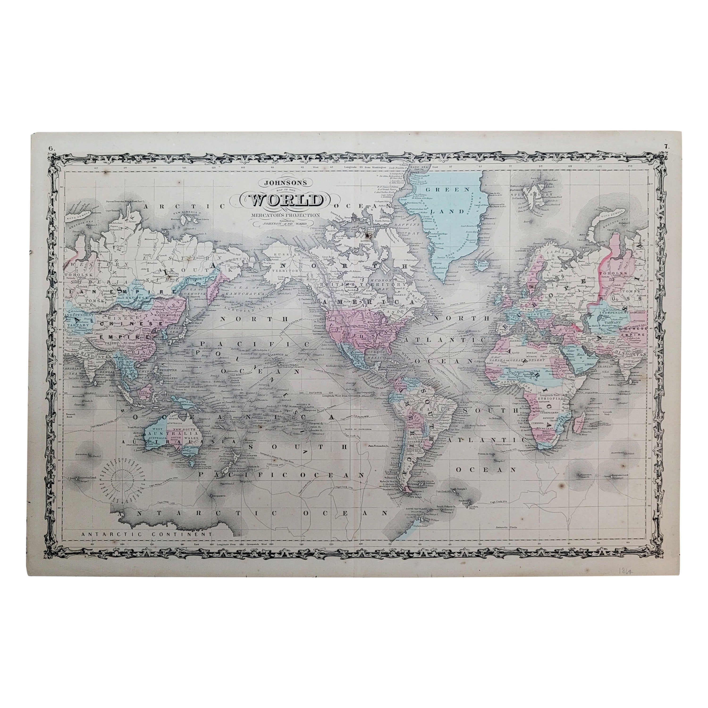
- 1864 Johnson's Map of the World on Mercator's Projection, Ric.B009Located in Norton, MAAn 1864 Johnson's map of the World on Mercator's Projection Ric.b009 About this Item "This antique map came from Johnson's New Illustrated (Steel Plate) Family Atlas, publ...Category
Antique 19th Century Dutch Maps
MaterialsPaper
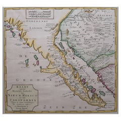
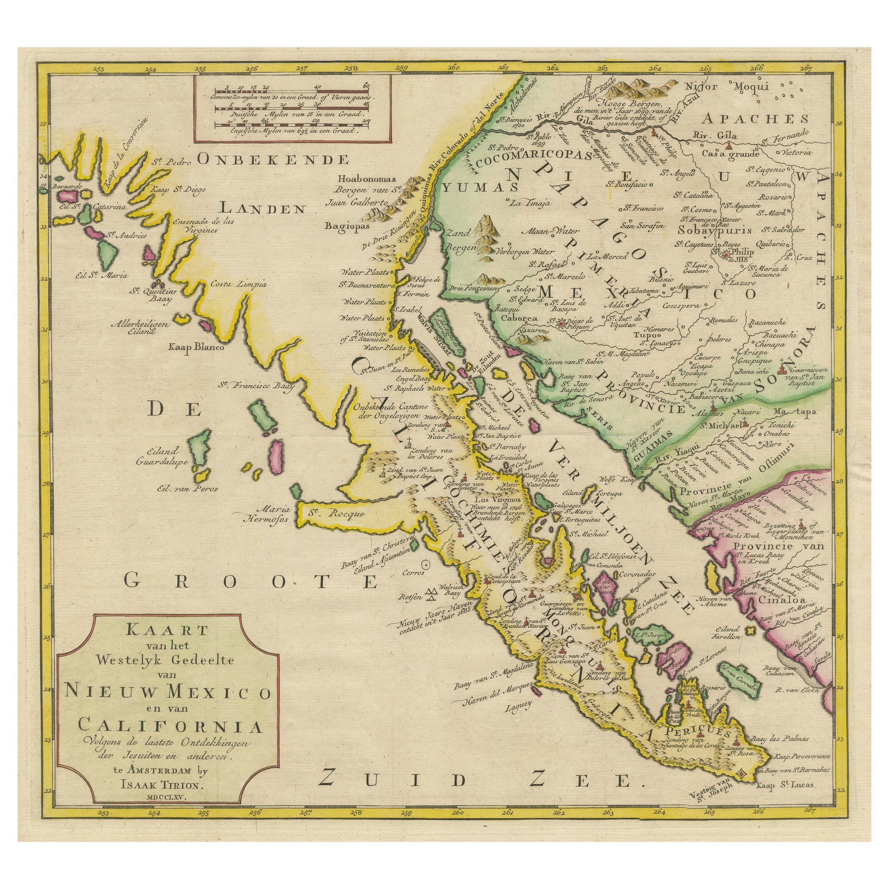
- Original Antique Map of the Western Part of NEW MEXICO & CALIFORNIALocated in Langweer, NLTitle: "Map of the Western Part of NEW MEXICO and CALIFORNIA According to the Latest Discoveries by the Jesuits and Others" Description: This exquisite original Dutch map, titled "...Category
Antique 1760s Maps
MaterialsPaper
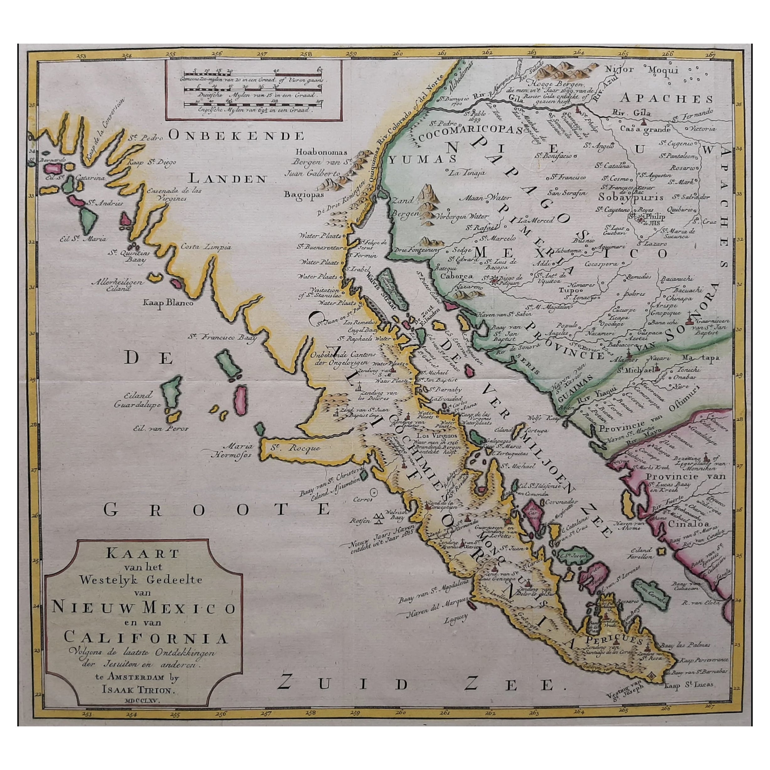
- Antique Map of Baja California and parts of Alta California, Arizona and SonoraLocated in Langweer, NLAntique map titled 'Kaart van het Westelyk Gedeelte van Nieuw Mexico en van California'. Beautiful map of Baja California and parts of Alta California, Arizona and Sonora. Isaac Tiri...Category
Antique Mid-18th Century Maps
MaterialsPaper
- Vintage 1912 Arizona and New Mexico Statehood FlagLocated in Coeur d'Alene, ID25th Design Patriotic American silk flag with 48 stars. Arizona Statehood Feb 14, 1912; New Mexico Statehood Jan 6, 1912 Period: 1912 Origin: United States Size: 12" x 17". Family ...Category
Vintage 1910s American Historical Memorabilia
MaterialsSilk
- Antique Map of New York by Johnson '1872'Located in Langweer, NLAntique map titled 'Johnson's New York'. Original map showing New York, with an inset map of Long Island. This map originates from 'Johnson's New Il...Category
Antique Late 19th Century Maps
MaterialsPaper