Items Similar to 1864 Map of North America, Antique Hand-Colored Map, by Adolphe Hippolyte Dufour


Video Loading
Want more images or videos?
Request additional images or videos from the seller
1 of 10
1864 Map of North America, Antique Hand-Colored Map, by Adolphe Hippolyte Dufour
$4,500
£3,401.44
€3,908.86
CA$6,266.22
A$6,970.92
CHF 3,654.24
MX$85,182.89
NOK 46,532.20
SEK 43,803.63
DKK 29,178.17
Shipping
Retrieving quote...The 1stDibs Promise:
Authenticity Guarantee,
Money-Back Guarantee,
24-Hour Cancellation
About the Item
Offered is a map of North America entitled Amerique du Nord from 1864. This rare, separately published wall map was produced by Adolphe Hippolyte Dufour. This map includes vibrant and elaborate hand-coloring within country borders, as well as brightly colored lines representing state borders, which stand in stark contrast. The work is extremely detailed with labels of cities and rivers across the continent. The work is dissected into four separate sheets and is laid neatly on two sheets of linen. There are two stamps for the German Ministry of Foreign Affairs, which existed until the 1920s. This map has also appeared in Andriveau-Goujon's Atlas Choix.
This map covers an extensive amount of land in the North American continent. The work displays land from the Polar Ice cap to as far down as the northern edge of South America. The map includes an unusual view of the Transmississippi West, with a misshaped Texas, as well as Nebraska Territory, Kansas extending to the Rocky Mountains, Washington, and Oregon. New Mexico depicted is above Arizona (Baylor line) and the Territory of Shoshone is shown (pre-Idaho). Nevada's eastern border is nearly at the western edge of Salt Lake, an early effort to reduce the Mormon influence, although its eastern border is very odd. Nevada's lower tip, which would include Clark County (Las Vegas), is shown in Arizona. The map is very collectible due to its terrific early Western Territorial names and boundaries. This map provides a variety of detailed nautical routes, as well as an inset map at the lower left showing the edge of present day Alaska. The land of Alaska is labeled here as “Russian America,” relating to Russian colonial possessions in North America that lasted from 1733-1867.
Adolphe Hippolyte Dufour (1795-1865) was a French-based map and atlas publisher active in the middle to late 19th century, working primarily in Paris. Dufour was a student of Emile Lapie, another famous French cartographer, and has worked with numerous other cartographers to publish a wide array of maps and atlases. He is well known for his famous elephant folio entitled Atlas Universel physique, historique et politique geographie ancienne et moderne. Alexandre Vuillemin was Dufor’s student and ultimately his successor.
Condition:
Overall good condition considering age and use. Some significant soiling, specifically at right side, and some scattered foxing. Coloring is still quite vibrant. Stabilized on linen. 35 1/2" H x 24 1/3" W total sheet size. The map is framed according to the highest archival standards in an elegant black and gold frame.
Framed dimensions: 44 1/2" H x 33" W x 1 1/2" D.
- Dimensions:Height: 44.5 in (113.03 cm)Width: 33 in (83.82 cm)Depth: 1.5 in (3.81 cm)
- Materials and Techniques:
- Place of Origin:
- Period:
- Date of Manufacture:1864
- Condition:Additions or alterations made to the original: Stabilized on linen. Wear consistent with age and use. Minor fading. Overall good condition considering age and use. Some significant soiling, specifically at right side, and some scattered foxing. Coloring is still quite vibrant. Stabilized on linen.
- Seller Location:Colorado Springs, CO
- Reference Number:Seller: M2731stDibs: LU909714007622
About the Seller
4.9
Platinum Seller
Premium sellers with a 4.7+ rating and 24-hour response times
Established in 2010
1stDibs seller since 2011
461 sales on 1stDibs
- ShippingRetrieving quote...Shipping from: Colorado Springs, CO
- Return Policy
Authenticity Guarantee
In the unlikely event there’s an issue with an item’s authenticity, contact us within 1 year for a full refund. DetailsMoney-Back Guarantee
If your item is not as described, is damaged in transit, or does not arrive, contact us within 7 days for a full refund. Details24-Hour Cancellation
You have a 24-hour grace period in which to reconsider your purchase, with no questions asked.Vetted Professional Sellers
Our world-class sellers must adhere to strict standards for service and quality, maintaining the integrity of our listings.Price-Match Guarantee
If you find that a seller listed the same item for a lower price elsewhere, we’ll match it.Trusted Global Delivery
Our best-in-class carrier network provides specialized shipping options worldwide, including custom delivery.More From This Seller
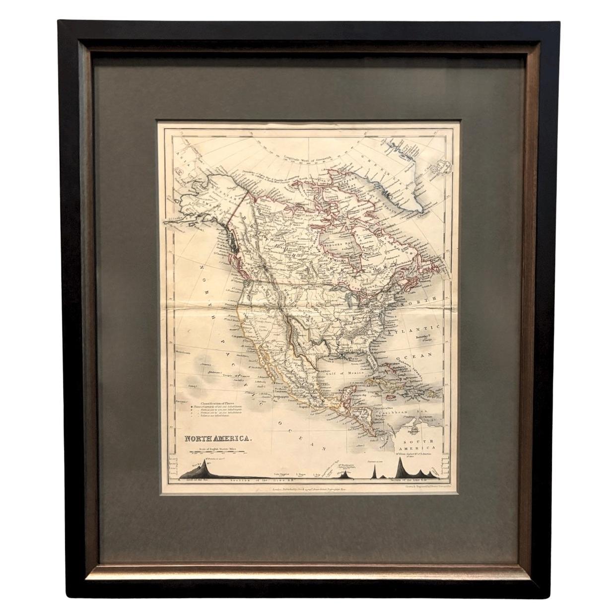
View All1846 "North America" Map, Engraved by I. Dower
Located in Colorado Springs, CO
Presented is an original 1846 map of “North America.” The map was drawn and engraved by I. Dower and published in London by Orr & Company. The map depicts North America, to include G...
Category
Antique 1840s English Victorian Maps
Materials
Paper

1859 "Map of the United States of America..." by J. H. Colton
By J.H. Colton
Located in Colorado Springs, CO
Presented is an 1859 “Map of the United States of America, the British Provinces, Mexico, the West Indies and Central America with Part of...
Category
Antique 1850s American Maps
Materials
Paper

1847 Ornamental Map of the United States & Mexico by H. Phelps
Located in Colorado Springs, CO
Offered is an original 1847 ornamental map of the U.S. entitled "Ornamental Map of the United States & Mexico" by Humphrey Phelps. The map was issued as an act of Congress by Phelps on Fulton Street, New York. The broadside is elaborately hand-colored.
This is a very detailed and graphic propaganda map of the United States expressing U.S. dominance of the North American continent. The hand-colored map proclaims the Manifest Destiny, with the recent acquisition of Upper California and Texas at the conclusion of the Mexican-American War. The newly acquired land is boldly colored, standing in stark contrast to the rest of the U.S. The map details a potential route for a railroad running from New York City, to Buffalo, to Chicago, then west along the Oregon Trail to Oregon City. This route anticipates the construction of the transcontinental railroad by nearly 20 years.
The map includes elaborately detailed renderings of George Washington, Hernan Cortez, and Montezuma at top to represent European expansion to the Americas. At bottom are four inset designs with text showing the following: a chronological history of the U.S. beginning from settlement to the U.S. victory in the Mexican-American war; an illustration of General Zachary Taylor with details on the Oregon Territory; an illustration of the Aztec Temple of the Sun in Tenochtitlan and a chronology of the Conquest of the Aztec Empire under Cortez; a portrait of General Antonio Lopez de Santa Anna...
Category
Antique 1840s American Maps
Materials
Paper

1868 "Lloyd's Topographical Railway Map of North America..." Hanging Wall Map
Located in Colorado Springs, CO
Presented is “Lloyd's Topographical Railway Map of North-America, or the United States Continent in 1900.” This map was published by J. T. Lloyd, in New York, in 1868. A large, hangi...
Category
Antique 1860s American Late Victorian Maps
Materials
Linen, Paper

1842 Wall Map of the United States by J. H. Young, Published by S. A. Mitchell
Located in Colorado Springs, CO
Presented is an 1842 hanging “Map of the United States,” engraved by J. H. Young and published by Samuel Augustus Mitchell, Philadelphia. This is a beautiful example of the rare 1842...
Category
Antique 1840s American Maps
Materials
Paper

"The United States from the Latest Authorities" Antique Wall Map, 1835
Located in Colorado Springs, CO
This is a 1835 map of “The United States from the Latest Authorities” by Ezra Strong. A hand-colored engraved wall map of the eastern half of the United States, this map has a large inset of the "Oregon District" and several engraved city views and two portraits.
The primary map extends to Mexico Texas and the Missouri Territory, showing the course of the Missouri River to Ft. Mandan and Old Ft. Mandan, and noting many forts along the river. The territories to the east of Missouri Territory are separately delineated as Sioux District and Huron District. The western details of the map are very good for a map of this time period, with many Native American settlements, villages, forts and other details noted.
The map is bordered with vignettes of Boston, New York, Philadelphia, Hartford, Cincinnati, and Baltimore. Each vignette notes the date settled, primary settler, and the population as of 1830. Two portraits of LaFayette and George Washington are presented in full length with related biographical information.
A large inset map at lower right shows the Oregon District, centered on the Columbia River and extending to the Rocky Mountains. This is one of the earliest commercial appearances of a separate map of Oregon...
Category
Antique 1830s American Maps
Materials
Paper

You May Also Like
Antique Map of North America by Johnston, 1882
By Alexander Keith Johnston
Located in Langweer, NL
Antique map titled 'North America'.
Old map of North America. This map originates from 'The Royal Atlas of Modern Geography, Exhibiting, in a Series of Entirely Original and Authen...
Category
Antique 19th Century Maps
Materials
Paper

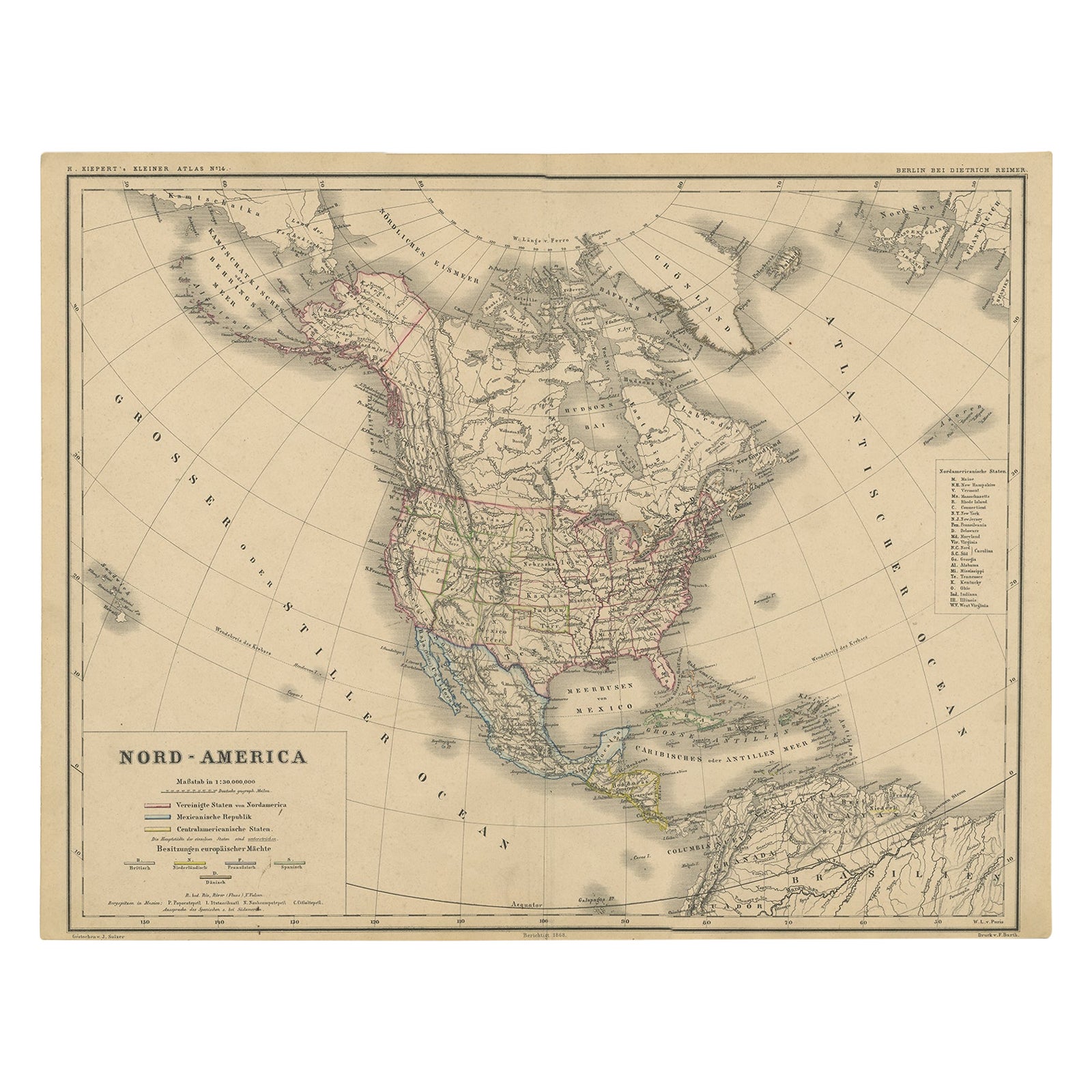
Old Original Antique German Map of North America, ca.1870
Located in Langweer, NL
Antique map titled 'Nord-America'.
Old map of North America. This map originates from 'H. Kiepert's Kleiner Atlas der Neueren Geographie für Schule und Haus'.
Artists and Engrave...
Category
Antique 1870s Maps
Materials
Paper

$469 Sale Price
20% Off
Antique Map of the United States of North America, c.1882
Located in Langweer, NL
Antique map titled 'United States of North America'. Old map of the United States of North America. This map originates from 'The Royal Atlas of Modern Geography, Exhibiting, in a Se...
Category
Antique 1880s Maps
Materials
Paper

$335 Sale Price
20% Off
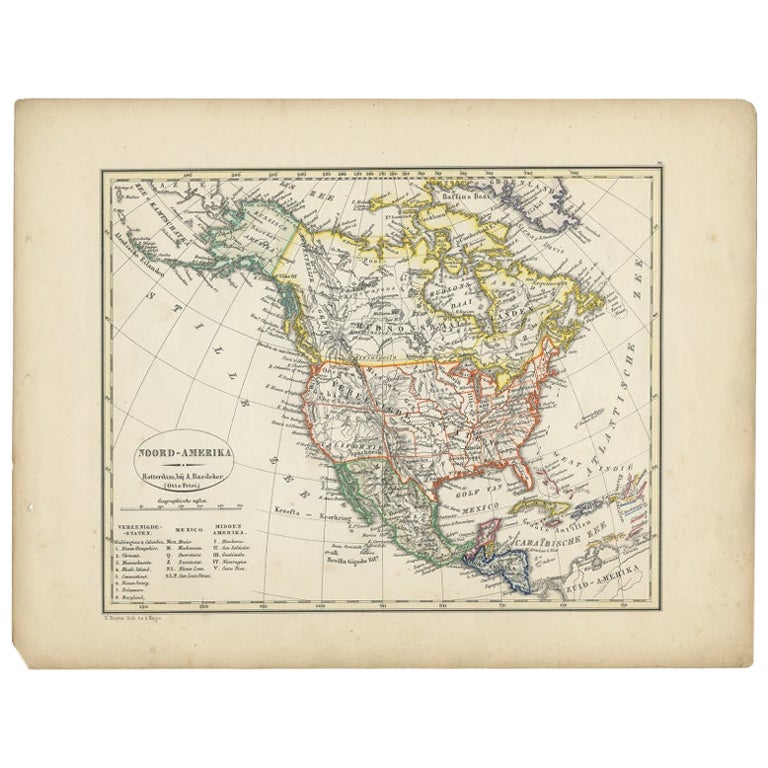
Antique Map of North America from an Old Dutch School Atlas, 1852
Located in Langweer, NL
Antique map titled 'Noord-Amerika'. Map of North America. This map originates from 'School-Atlas van alle deelen der Aarde' by Otto Petri. Artists and Engra...
Category
Antique 19th Century Maps
Materials
Paper

$210 Sale Price
20% Off
Antique Decorative Coloured Map of North America, 1882
Located in Langweer, NL
This original antique map of North America is from the Blackie & Son Atlas published in 1882. Here are several points of interest about this map:
1. **Political Borders**: The map l...
Category
Antique 1880s Maps
Materials
Paper

Antique Map of North America by A & C. Black, 1870
Located in Langweer, NL
Antique map titled 'North America'. Original antique map of North America. This map originates from ‘Black's General Atlas of The World’. Published by A & C. Black, 1870.
Category
Antique Late 19th Century Maps
Materials
Paper

$263 Sale Price
20% Off
More Ways To Browse
American West Antiques
Map Stand
Antique Maps Of North America
Antique Map Of The South Of France
Antique Oregon
Nautical Maps
Antique Map Mexico
Framed Map Of Paris
German Colonial
Antique Nautical Maps
German Texas
Antique Linen Map
Folio Stand
Antique Furniture Kansas City
Salt Lake City Used Furniture
Antique Maps Of Texas
Nevada Antique Map
Antique Maps Of Kansas