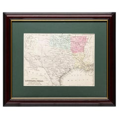
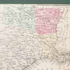
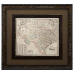
Framed Map of Texas Circa 1886
Located in Coeur d'Alene, ID
Framed circa 1886 map of Texas including Louisiana, Texas and Arkansas, with Indian territory.
Category
Late 19th Century American Antique Maps Of Texas
Materials
Paper
Framed Map of Texas Circa 1886
Located in Coeur d'Alene, ID
Framed circa 1886 map of Texas including Louisiana, Texas and Arkansas, with Indian territory.
Paper
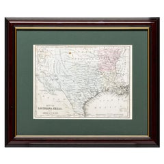
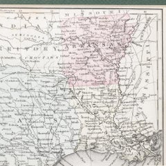
Framed Map of Texas Circa 1880
Located in Coeur d'Alene, ID
Framed circa 1880 map of Texas with Louisiana and Arkansas. Well detailed.
Paper
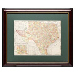
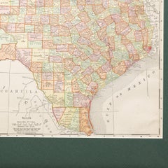
Framed Map of Texas Circa 1908
Located in Coeur d'Alene, ID
Framed circa 1908 map of Texas. Each county separated and colored with panhandle of Texas on same scale in left corner.
Paper
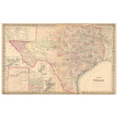
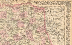
Large Antique Map of Texas with Panhandle & Bay Inset Maps, Colton, 1873
Located in Langweer, NL
Large Antique Map of Texas with Panhandle & Bay Inset Maps, Colton, 1873 This richly detailed and visually striking antique map of Texas was published in 1873 by G.W. & C.B.
Paper
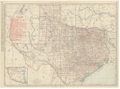
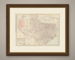
Antique Map of Texas, The Lone Star State, Rand McNally, 1899
By Rand McNally & Co.
Located in Langweer, NL
This antique map of Texas is an original 1899 colour lithograph, the outline printed in black with the colours printed over it, issued folded through the centre.
Paper
$503Sale Price|20% Off
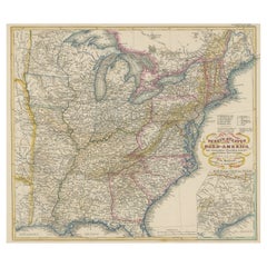
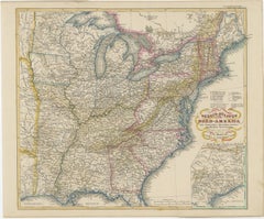
Antique Map of the Eastern United States with Inset Map of Texas
Located in Langweer, NL
Inset map of the "southern principal part of Texas." Shows states, major cities, railroads, topography, bodies of water, as well as political divisions at that time.
Paper
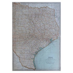
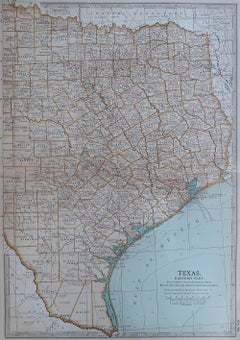
Original Antique Map of the American State of Texas ( Eastern Part ), 1903
Located in St Annes, Lancashire
Antique map of Texas ( Eastern part ) Published By A & C Black. 1903 Original colour Good condition Unframed.
Paper
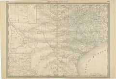
Texas Antique Map 1888 – Railroads, Counties & Frontier Settlements
Located in Langweer, NL
Texas Railroad Map 1888 – Rand McNally Antique Lithograph This antique 1888 map of Texas, published by Rand, McNally & Co., provides a detailed overview of the state during a critic...
Paper
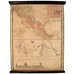
1847 Antique Map of Mexico, Texas and California by Samuel Augustus Mitchell
By Samuel Augustus Mitchell 1
Located in Colorado Springs, CO
The map is considered to be an adaptation of Mitchell's earlier 1846 A New Map of Texas, Oregon, and California.
Paper
$512Sale Price|50% Off
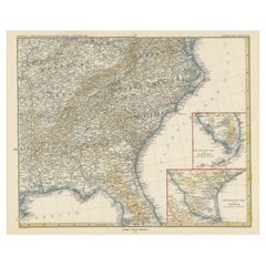
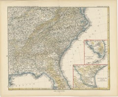
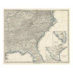
Antique Map of the Region of Georgia with Inset Maps of Florida and Texas
Located in Langweer, NL
With inset maps of the southern part of Florida and the southern part of Texas.
Paper
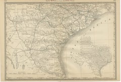
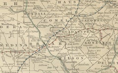
Antique Map 1888 – Southern Texas Railroads, Counties & Settlements
Located in Langweer, NL
Southern Texas Map 1888 – Rand McNally Antique Lithograph This antique 1888 map of Southern Texas, published by Rand, McNally & Co., depicts the Gulf Coast and borderlands with Mexi...
Paper
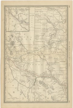
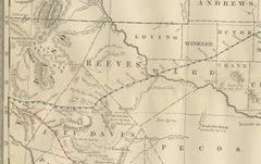
Western Texas Antique Map 1888 – Railroads, Counties & Frontier Towns
Located in Langweer, NL
Western Texas Map 1888 – Rand McNally Antique Lithograph This antique 1888 map of Western Texas, published by Rand, McNally & Co., depicts the vast frontier counties of the region a...
Paper
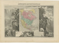
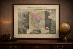
Antique Map North America, Texas Republic, Decorative Levasseur Atlas, c.1845
Located in Langweer, NL
Technique: Steel engraving with original hand coloring Maker: Victor Levasseur, Paris, circa 1842–1845 Keywords: antique map north america levasseur map republic of texas map texas...
Paper
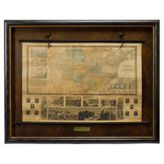
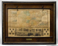
1845 "Ensign's Travellers' Guide and Map of the United States" Hand-Colored Map
Located in Colorado Springs, CO
Most notably, this map includes the state of Texas, which was annexed to the United States in 1845.
Paper
$629Sale Price|25% Off
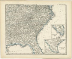
Antique Map of Tennessee, Kentucky, Virginia, Alabama, Georgia and Surroundings
Located in Langweer, NL
With inset maps of the southern part of Florida and the southern part of Texas.
Paper
$317Sale Price|20% Off
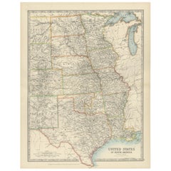
Map of United States Central Sheet 1903 – Railroads, States, and Topography
Located in Langweer, NL
The map covers the states of Texas, Oklahoma, Kansas, Nebraska, the Dakotas, Minnesota, Wisconsin, Iowa, Missouri, and Illinois, with surrounding areas of Colorado, Wyoming, Michigan...
Paper
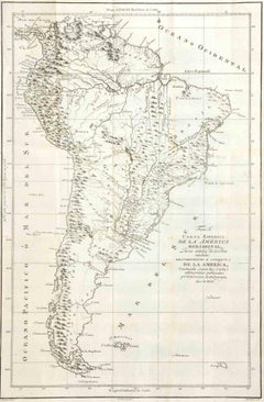
Direccion de Hidrografia... - Etching by Tomàs Gozàlez - 1802
Located in Roma, IT
At the bottom margin are the indications of responsibility: Tomás González (principal author), José María Cardano, Felipe Cardano (engravers), Juan Morata y Gangoiti (engraver of the...
Etching
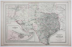
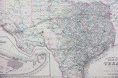
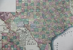
1886 Lithograph Map of Texas by William Bradley & Bros.
Located in San Antonio, TX
A map of Texas printed by William Bradley & Bros.
Lithograph
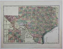
Unavailable
H 11.5 in W 14.5 in D 0.07 in
1909 Double-Sided Map of Texas and Oklahoma by The George F. Cram Company
Located in San Antonio, TX
It was also the core business of the company right through World War I and the 1920s. This double-sided map of Texas and Oklahoma was printed by the George F.
Pastel, Lithograph
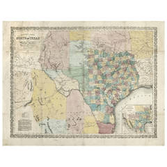
Richardson's New Map of the State of Texas
By Willard Richardson 1, Charles Desilver
Located in Houston, TX
This map was an optional purchase with Richardson's Texas Almanac for 1861.
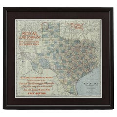
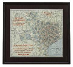
1908 "Map of Texas" by The Kenyon Company
Located in Colorado Springs, CO
Presented is an antique map of the state of Texas, printed as a pocket map in 1908 by The Kenyon Company.
Paper
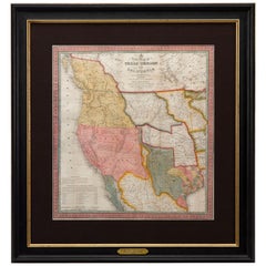
Sold
H 32.5 in W 31.5 in D 2 in
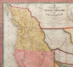
1846 Antique Map of Texas, Oregon, California, and Regions Adjoining by Mitchell
By Samuel Augustus Mitchell 1
Located in Colorado Springs, CO
This is a finely colored example of the 1846 version of Mitchell's seminal map of Texas, Oregon Territory, California, and the Transmississippi West.
Paper
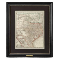

1883 "Map of Texas and Indian Territory" by Hiram H. Hardesty
Located in Colorado Springs, CO
Presented is a very detailed “Map of Texas and Indian Territory” by Hiram H. Hardesty.
Paper
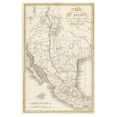
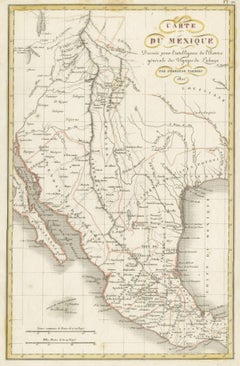
Antique Map of Texas, the Rocky Mountains, Southwest and Mexico
Located in Langweer, NL
One of the few regional maps focusing on Texas and the Rocky Mountains during the period.
Paper
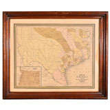

Map of the State of Texas
Located in Dallas, TX
an early state map of Texas, published in Philadelphia 1848, panhandle pictured inset at left bottom.
Paper, Ink
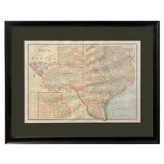

1894 "Texas" Map
Located in Colorado Springs, CO
Presented is a very detailed map of Texas, from 1894. The map is very comprehensive, colored by counties, and outlined in red.
Paper
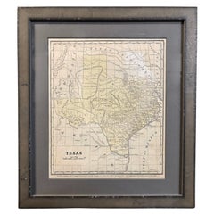

1853 "Texas" Map by Daniel Burgess
Located in Colorado Springs, CO
This is an original map of Texas from 1853, published by Daniel Burgess.
Paper
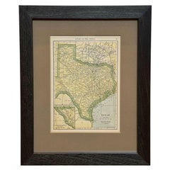

1927 "Texas" Map by C.S. Hammond
Located in Colorado Springs, CO
The map shows the rivers, cities, towns, and settlements throughout Texas.
Paper
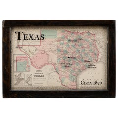

1870 Texas Map by Colton
Located in Colorado Springs, CO
This is a highly detailed map of Texas, colored by counties and showing the early County configurations in the West.
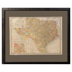
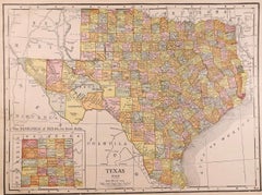
1912 "Texas" Map by Rand McNally & Co.
By Rand McNally & Co.
Located in Colorado Springs, CO
Presented is a very detailed map of Texas, from Rand McNally, printed in 1912.
Paper
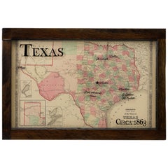

Texas Civil War Map, circa 1863
Located in Colorado Springs, CO
Johnson's highly desirable map of the state of Texas. The map was published by A.
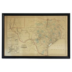
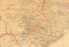
Circa 1853 "New Map of the State of Texas" in Frame
Located in Chapel Hill, NC
Circa 1853 "New Map of the State of Texas" in frame. Compiled from DeCordova's large map & published 1853(?)
Glass, Wood, Paper
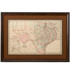
1856 Map of the State of Texas by J. H. Colton
Located in Colorado Springs, CO
The map, titled “Colton’s New Map of the State of Texas," was compiled from the famous De Cordova’s large map of the state.
Paper
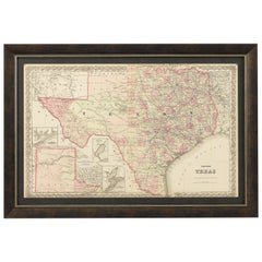

1873 Colton's Texas Hand-Colored Antique Map
Located in Colorado Springs, CO
Presented is a hand-colored, detailed map of the state of Texas. It was published by G.
Paper
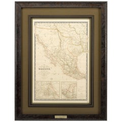
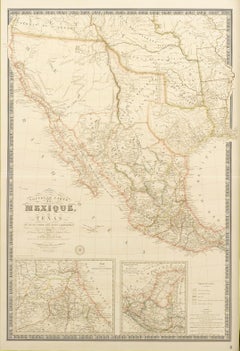
Republic of Texas and Mexico, Antique French Map, circa 1840
Located in Colorado Springs, CO
First published in 1834, this is the sixth edition of Adrien H. Brue's landmark map of the North American West and Southwest and only the second edition to depict the Republic of Tex...
Paper
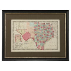

Sold
H 27.75 in W 38.5 in D 1.38 in
1859 "Colton's New Map of the State of Texas..." by Johnson & Browning
Located in Colorado Springs, CO
Presented is "Colton's New Map of the State of Texas Compiled from De Cordova's Large Map", published in Alivin J.
Paper
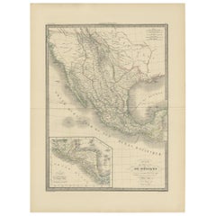
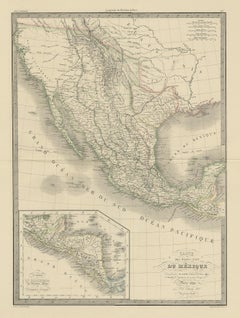
Antique Map of Mexico, Texas and Upper California by Lapie, 1842
Located in Langweer, NL
Antique map titled 'Carte des États-Unis du Méxique'. Map of Mexico, Texas and Upper California.
Paper
Sold
H 14.18 in W 20.67 in D 0.01 in
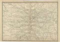
Eastern Texas Antique Map 1888 – Railroads, Counties & Settlements
Located in Langweer, NL
Eastern Texas Map 1888 – Rand McNally Antique Lithograph This antique 1888 map of Eastern Texas, published by Rand, McNally & Co., provides a richly detailed depiction of one of the...
Paper
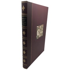

Sold
H 38.25 in W 50.75 in D 0.5 in
1842 Mercator Projection Map of the World, Texas as an Independent Republic
Located in Colorado Springs, CO
Folding wall map of the world, showing Texas as an independent republic, in publisher's portfolio A new chart of the world on Mercator’s projection by cartographer Henry Teesdale...
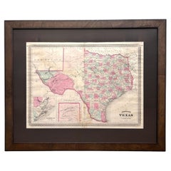
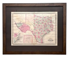
1870 "Johnson's Texas" Map, Published by A. J. Johnson
Located in Colorado Springs, CO
Presented is an original 1870 "Johnson's Texas" map. First published in 1866, this map was issued as pages 58 and 59 in the 1870 edition of “Johnson's New Illustrated (Steel Plate) F...
Paper

Sold
H 12.05 in W 10.01 in D 0.02 in
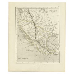
Antique Map of the Western United States, Mexico and Texas as a Republic
Located in Langweer, NL
Antique map titled 'Mexique'. This map covers the western United States, Mexico and the independent Republic of Texas.
Paper
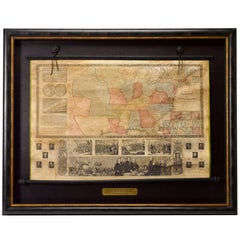

Sold
H 42.25 in W 53 in D 3.75 in
1846 "Traveller's Guide and Map of the United States" Antique Wall Map by Ensign
Located in Colorado Springs, CO
Most notably, this map includes the state of Texas, which was annexed to the United States in 1845.
Paper
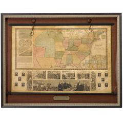
1845 United States Hanging Wall Map by T & E. H. Ensign
Located in Colorado Springs, CO
Most notably, this map includes the state of Texas, which was annexed to the United States in 1845.
Paper

Sold
H 1 in W 1 in D 1 in
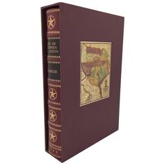
The Life of Stephen F. Austin: Founder of Texas, 1793-1836, First, circa 1925
Located in Colorado Springs, CO
Housed in a custom cloth slipcase, which features an early map of the Republic of Texas on the cover.

Sold
H 10.25 in W 7 in D 2.25 in
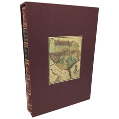
"The Life of Stephen Austin" by Eugene Baker, Signed First Edition, 1925
Located in Colorado Springs, CO
Some toning to paper margins. 549pp. w/maps, illus., bibliography, index. Rebound in maroon quarter-leather, with raised bands on spine, gilt tooling, and housed in a custom cloth s...
Paper
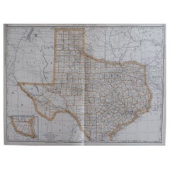

Large Original Antique Map of Texas, USA, 1894
By Rand McNally & Co.
Located in St Annes, Lancashire
Fabulous map of Texas. Original color. By Rand, McNally & Co.
Paper
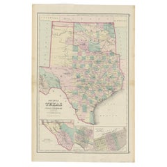

Detailed Antique Map of Texas and Indian Territory, 1875
Located in Langweer, NL
Description: Antique map titled 'Gray's New Map of Texas and the Indian Territory'.
Paper
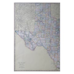

Large Original Antique Map of Texas 'West', USA, C.1900
Located in St Annes, Lancashire
Fabulous map of Texas, West Original color Engraved and printed by the George F.
Paper
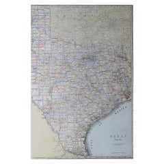

Large Original Antique Map of Texas ( East ), USA, circa 1900
Located in St Annes, Lancashire
Fabulous map of Texas, East Original color Engraved and printed by the George F.
Paper
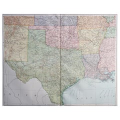

Large Original Vintage Map of Texas and Adjacent States, circa 1920
Located in St Annes, Lancashire
Great map of Texas and adjacent States Original color.
Paper

Sold
H 18.5 in W 22.5 in D 0.07 in
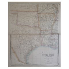
Large Original Antique Map of Texas, United States &c. Fullarton, C.1870
Located in St Annes, Lancashire
Great map of Texas. Also showing Indian Territory, Arkansas, Louisiana etc From the celebrated Royal Illustrated Atlas Lithograph by Swanston.
Paper

Sold
H 10.44 in W 13.78 in D 0.02 in
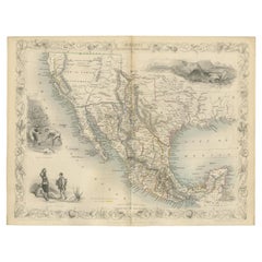
Antique Map of Texas, California and the Southwest by Tallis, c.1850
Located in Langweer, NL
Antique map titled 'Mexico, California and Texas'. Decorative regional map of the Texas, California and the Southwest, featuring Texas in its Republic configuration, with Stovepipe r...
Paper
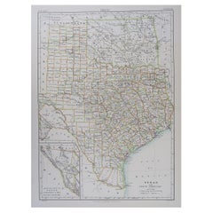

Original Antique Map of The American State of Texas, 1889
Located in St Annes, Lancashire
Great map of Texas Drawn and Engraved by W. & A.K.
Paper

Sold
H 16.25 in W 11.5 in D 0.07 in
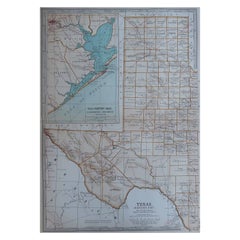
Original Antique Map of the American State of Texas ( Western Part ), 1903
Located in St Annes, Lancashire
Antique map of Texas ( Western part ) Published By A & C Black. 1903 Original colour Good condition Unframed.
Paper

Sold
H 16.25 in W 11.5 in D 0.07 in
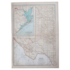
Original Antique Map of the American State of Texas ( Western Part ), 1903
Located in St Annes, Lancashire
Antique map of Texas ( Western part ) Published By A & C Black. 1903 Original colour Good condition Unframed.
Paper

Sold
H 16.25 in W 11.5 in D 0.07 in
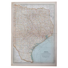
Original Antique Map of the American State of Texas ( Eastern Part ), 1903
Located in St Annes, Lancashire
Antique map of Texas ( Eastern part ) Published By A & C Black. 1903 Original colour Good condition Unframed.
Paper

Sold
H 43.5 in W 47 in D 2 in
1882 Colton's 'New Medium' Map of the State of Texas, the Indian Territory, Etc
Located in Colorado Springs, CO
This is a large separately-published pocket map of Texas by G.W. & C.B. Colton. Published in 1882, the map provides a detailed treatment of Texas, Indian Territory, and New Mexico.
Paper
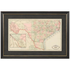

1882 Railroad Map of Southern Texas, Antique Map by George Cram
Located in Colorado Springs, CO
Presented is the railroad and county map of the southern part of the state of Texas by George Cram, circa 1882.
Paper
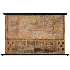
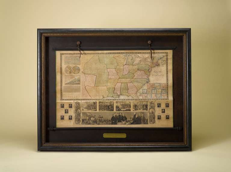
1843 Republic of Texas United States Wall Map
Located in Colorado Springs, CO
This is a fascinating wall map of the United States issued in 1843 -- depicting the Republic of Texas (Texas became a state in 1845).

Sold
H 42 in W 56 in D 3.5 in
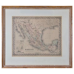
1844 Map of the United States, Antique Map, Featuring the Republic of Texas
Located in Colorado Springs, CO
This is a fascinating wall map of the United States issued in 1844 – one year prior to Texas statehood.
Paper
Sold
H 20 in W 22.63 in D 0.88 in
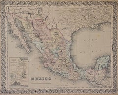
Framed 19th Century Colton Map of Mexico, Texas, California and US Territories
By J.H. Colton
Located in Alamo, CA
Colton, published in New York in 1855 in his General Atlas of the World on page No. 54 in volume 1. The map includes Mexico, including Baja California, Texas, and portions of Califor...
Paper
Sold
H 26.97 in W 25.2 in D 0.01 in
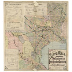
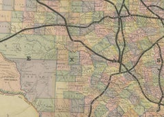
Southwestern U.S. Immigration Map for Texas, Arkansas, and Louisiana, 1881
Located in Langweer, NL
Southwestern U.S. Immigration Map - Published by The Southwestern Immigration Company, Austin, Texas.
Paper
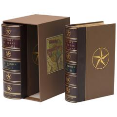
History of Texas, From 1685-1892, Two Volumes, circa 1892
Located in Colorado Springs, CO
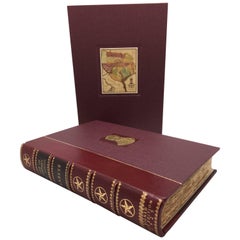
First Edition. 2-volumes bound in quarter leather with raised decorative gilt bands -- presented in a matching cloth slipcase featuring an early map of the Republic of Texas. P...
Sold
H 1 in W 1 in D 1 in
Life of Stephen F. Austin by Barker, Signed 1st Edition, 1925, Texas History
Located in Colorado Springs, CO
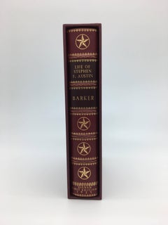
Bound in quarter leather with decorative gilt spine and housed in a custom cloth slipcase that features an early map of the Republic of Texas.

Sold
H 44.1 in W 54.73 in D 0.79 in
Antique Mid-19th Century Wall Map of North America by Lienhart Holle
Located in Vienna, AT
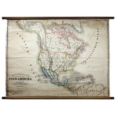
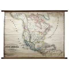
During a brief burst of activity in the early 1850s, the firm published a number of fascinating American maps. It was during this time that Holle published 2 very rare American maps,...

Sold
H 54.73 in W 44.1 in D 0.08 in
Antique Mid-19th Century Wall Map of North America by Lienhart Holle, 1870
By Lienhart Holle
Located in St. Margarethen, AT
During a brief burst of activity in the early 1850s, the firm published a number of fascinating American maps. It was during this time that Holle published two very rare American map...
Paper
$757
H 22.84 in W 34.45 in D 0.02 in
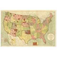
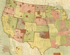
Antique Map Showing the Locations of Native American Tribes in 1899
Located in Langweer, NL
Antique map titled 'Map showing the Indian Reservations within the Limits of the United States'. Large folding map of the United States showing the Indian Reservations. The present m...
Paper

$338
H 21.26 in W 15.36 in D 0.01 in
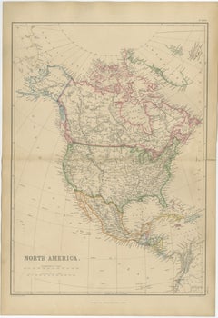
Antique Map of North America, Canada, United States and Mexico, 1860
Located in Langweer, NL
Antique Map of North America, Canada, United States and Mexico, 1860 This impressive nineteenth-century map of North America was published by W. G. Blackie of Scotland around 1860 a...
Paper
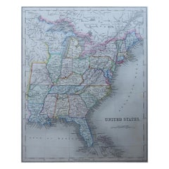
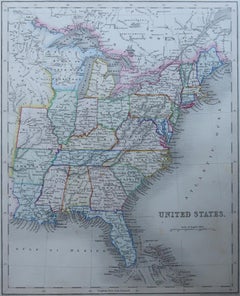
Original Antique Map of United States, Grattan and Gilbert, 1843
Located in St Annes, Lancashire
Great map of United States Drawn and engraved by Archer Published by Grattan and Gilbert. 1843 Original colour Unframed.
Paper
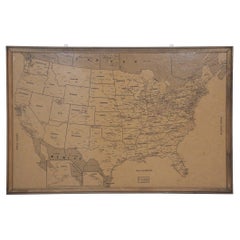
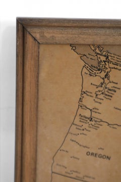
Vintage Framed United States Map
Located in Queens, NY
Vintage aged paper map of the United States mounted on particle board and framed in a simple wooden frame.
Wood, Paper
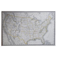
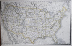
Large Original Antique Map of the United States of America. 1891
By Rand McNally & Co.
Located in St Annes, Lancashire
Fabulous map of The United States Original color By Rand, McNally & Co. Dated 1891 Unframed Free shipping.
Paper
$423
H 19.89 in W 26.78 in D 0.02 in
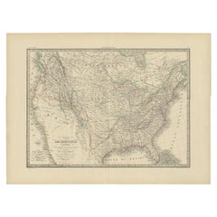
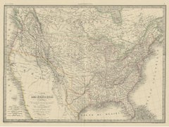
Antique Map of the United States by Pierre M. Lapie, Wall Art, 1842
Located in Langweer, NL
Antique map titled 'Carte des États-Unis d'Amérique'. Map of the United States of America (USA). This map originates from 'Atlas universel de géographie ancienne et moderne (..)' by ...
Paper
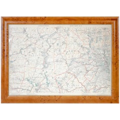
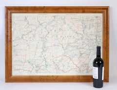
Original 1891 Walker Map
Located in Norwell, MA
Original 1891 map of Massachusetts by Walker. Towns include Cambridge, Boston, Dedham, Ashland, Brookline, Newton etc... burl wood frame. Measures: 23 x 32.
$431
H 21.66 in W 17.33 in D 0.01 in
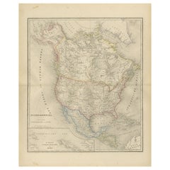
North America Map with USA, Canada & Mexico – Nieuwe Hand-Atlas, 1876
Located in Langweer, NL
North America Map with USA, Canada & Mexico – Nieuwe Hand-Atlas, 1876 This finely engraved 19th-century map of “Noord-Amerika,” published in 1876 by D. Noothoven van Goor of Leiden ...
Paper
$4,850
H 25.5 in W 35.5 in D 0.07 in
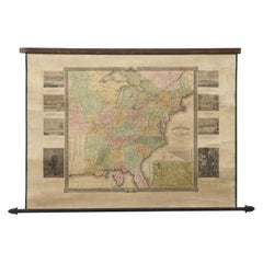
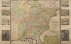
"The United States from the Latest Authorities" Antique Wall Map, 1835
Located in Colorado Springs, CO
This is a 1835 map of “The United States from the Latest Authorities” by Ezra Strong. A hand-colored engraved wall map of the eastern half of the United States, this map has a large ...
Paper
$4,500
H 44.5 in W 33 in D 1.5 in
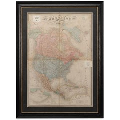
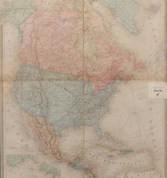
1864 Map of North America, Antique Hand-Colored Map, by Adolphe Hippolyte Dufour
Located in Colorado Springs, CO
Offered is a map of North America entitled Amerique du Nord from 1864. This rare, separately published wall map was produced by Adolphe Hippolyte Dufour. This map includes vibrant an...
Paper
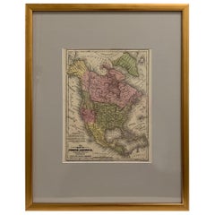
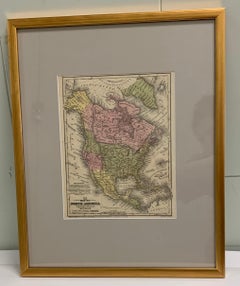
Framed 1839 Hand Colored Map of the United States
Located in Stamford, CT
Framed hand colored map of the United States of America from 1839. Newly framed in a giltwood frame.
Giltwood, Paper, Glass
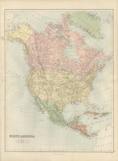
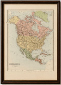
Antique North America Map, Canada, USA, Mexico, Bartholomew, 1884
Located in Langweer, NL
Title: Antique North America Map, Canada, USA, Mexico, Bartholomew 1884 This attractive antique map of North America was produced by the renowned Scottish cartographer John Bartholo...
Paper
$233Sale Price|20% Off
H 19.49 in W 24.41 in D 0.02 in
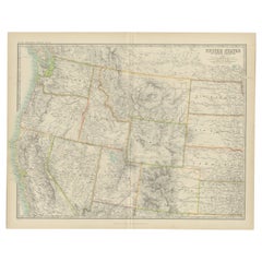
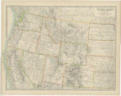
Antique Map of the United States 'North West' by Johnston, '1909'
Located in Langweer, NL
Antique map titled 'United States of North America'. Original antique map of the United States of North America ( North West ). This map originates from the ‘Royal Atlas of Modern Ge...
Paper
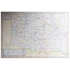

Large Original Antique Map of Oklahoma, USA, circa 1900
Located in St Annes, Lancashire
Fabulous map of Oklahoma Original color Engraved and printed by the George F. Cram Company, Indianapolis. Published, circa 1900 Unframed Repair to a minor edge tear top left cor...
Paper
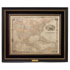
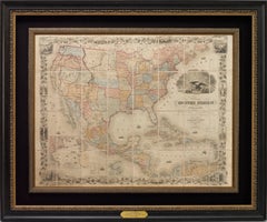
1859 "Map of the United States of America..." by J. H. Colton
By J.H. Colton
Located in Colorado Springs, CO
Presented is an 1859 “Map of the United States of America, the British Provinces, Mexico, the West Indies and Central America with Part of New Granada and Venezuela” by John Hutchins...
Paper
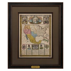
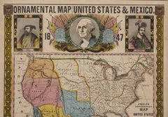
1847 Ornamental Map of the United States & Mexico by H. Phelps
Located in Colorado Springs, CO
Offered is an original 1847 ornamental map of the U.S. entitled "Ornamental Map of the United States & Mexico" by Humphrey Phelps. The map was issued as an act of Congress by Phe...
Paper
Antique and vintage collectibles and curiosities can bring whimsy and wonder to any interior.
Decorating with old scientific instruments, historical memorabilia and vintage musical instruments, as well as other authentic collectibles and curiosities that can be found on 1stDibs, presents an opportunity to create a unique, natural history museum-like atmosphere in your home that can provoke conversation as often as it pays tribute to how far we’ve come in understanding our world.
And bringing collectibles and curiosities into your space is actually on trend — Wunderkammern, or curiosity cabinets, were all the rage in Europe during the 1500s and continued to have adherents there and in the U.S. in the following centuries. Today, however, they’re experiencing a real surge in popularity and influencing how many interior designers are furnishing and decorating homes — combining contemporary with antique, scientific with tribal, earthly with extraterrestrial, Les Lalanne tables with Flemish tapestries.
The original Wunderkammern were entire rooms filled with objects demonstrating their owners’ worldly knowledge: A proper one included artificiala or preciosa (objets d’art); naturalia (such as skeletons, shells, minerals); exotica (taxidermy or dried plants); and scientifica (scientific instruments), frequently alongside religious relics and ancient artifacts.
Pay tribute to a history of rich and diverse musical traditions that have taken shape all over the world by decorating your home with a collection of antique and vintage musical instruments — with a little help from strong hanging wire or some wall hooks, vintage brass instruments such as a gong, French horn or trumpet can help elevate a home office or complement the efforts you’ve made to ensure a welcoming vibe in your home’s entryway. Bells or antique wind instruments can add provocative metallic contrasts to dark woods as tabletop decorative objects.
Create an intriguing focal point with Georgian scientific instruments, such as stick barometers with mahogany cases or lacquered brass telescopes. These items stem from an era named for the monarchies of the four King Georges, who ruled England in succession starting in 1714 (plus King William’s reign, which lasted until 1837). Just as there was beautiful jewelry produced during the period that today is coveted by collectors, there is much to be found in the collectibles and curiosities realm too.
Wanderlust, nostalgia and a shared love of good design are contributing factors to certain trends in decorating — just as vintage trunks and luggage have reappeared as furniture or home accents in a bedroom or foyer, decorating with globes, maps or nautical objects is similarly rooted in the allure of travel and a penchant for the stylish finishing touch that collectibles bring to our homes.
Find a wide range of antique and vintage collectibles and curiosities on 1stDibs.
It's hard to resist the allure of a beautiful pool. So, go ahead and daydream about whiling away your summer in paradise.
It’s never too early for good design. These interiors combine elevated furnishings and a youthful spirit, resulting in spaces that are at once elegant and whimsical.
Produced in 1843, the well-preserved volume is evidence of the author's exacting specifications.
New or old, the coverlets add old-time charm to any space.
Get into the games! These items celebrate the events, athletes, host countries and sporting spirit.
French trendsetter and serial collector Daniel Rozensztroch tells us about his obsession with objects related to seafaring men.
The sought-after designer worked with the team at Hoffman Creative to produce a monograph that beautifully showcases some of Studio Shamshiri's most inspiring projects.
Italian writer and collector Umberto Pasti opens the doors to his remarkable cave of wonders in North Africa.