Items Similar to Antique Map of the Night Skies of the Northern and Southern Hemispheres, 1880


Want more images or videos?
Request additional images or videos from the seller
1 of 5
Antique Map of the Night Skies of the Northern and Southern Hemispheres, 1880
$278.21
$347.7620% Off
£206.96
£258.7020% Off
€232
€29020% Off
CA$380.96
CA$476.2020% Off
A$423.58
A$529.4820% Off
CHF 221.17
CHF 276.4620% Off
MX$5,156
MX$6,44520% Off
NOK 2,822.03
NOK 3,527.5420% Off
SEK 2,644.11
SEK 3,305.1420% Off
DKK 1,766.09
DKK 2,207.6120% Off
Shipping
Retrieving quote...The 1stDibs Promise:
Authenticity Guarantee,
Money-Back Guarantee,
24-Hour Cancellation
About the Item
Antique world map titled 'Planisphère en Céleste'.
This map depicts the night skies of both the northern and southern hemispheres. This map originates from 'Géographie Universelle Atlas-Migeon' by J. Migeon.
Artists and Engravers: Published by J. Migeon. Reviewed by A. Vuillemin. Alexandre Vuillemin (1812-1880) was a cartographer and an book editor based in Paris, France.
- Dimensions:Height: 13.59 in (34.5 cm)Width: 18.71 in (47.5 cm)Depth: 0 in (0.02 mm)
- Materials and Techniques:
- Period:
- Date of Manufacture:1880
- Condition:Wear consistent with age and use. Condition: Good, age-related toning. Please study image carefully.
- Seller Location:Langweer, NL
- Reference Number:Seller: BG-11793-2 1stDibs: LU3054327244062
About the Seller
5.0
Recognized Seller
These prestigious sellers are industry leaders and represent the highest echelon for item quality and design.
Platinum Seller
Premium sellers with a 4.7+ rating and 24-hour response times
Established in 2009
1stDibs seller since 2017
2,511 sales on 1stDibs
Typical response time: <1 hour
- ShippingRetrieving quote...Shipping from: Langweer, Netherlands
- Return Policy
Authenticity Guarantee
In the unlikely event there’s an issue with an item’s authenticity, contact us within 1 year for a full refund. DetailsMoney-Back Guarantee
If your item is not as described, is damaged in transit, or does not arrive, contact us within 7 days for a full refund. Details24-Hour Cancellation
You have a 24-hour grace period in which to reconsider your purchase, with no questions asked.Vetted Professional Sellers
Our world-class sellers must adhere to strict standards for service and quality, maintaining the integrity of our listings.Price-Match Guarantee
If you find that a seller listed the same item for a lower price elsewhere, we’ll match it.Trusted Global Delivery
Our best-in-class carrier network provides specialized shipping options worldwide, including custom delivery.More From This Seller
View AllAntique Map of the World in Hemispheres by Johnson, '1872'
Located in Langweer, NL
Antique map titled 'Johnson's Globular World. Original world map depicting the Eastern Hemisphere and the Western Hemisphere. This map originates fr...
Category
Antique Late 19th Century Maps
Materials
Paper

Antique Map Showing the Ocean Currents and Temperature of Air, '1872'
Located in Langweer, NL
Two maps on one sheet titled 'Johnson's Oceans Currents (..)' and 'Johnson's World showing the Distribution of the Temperature of the Air'. Original world map...
Category
Antique Late 19th Century Maps
Materials
Paper

$335 Sale Price
20% Off
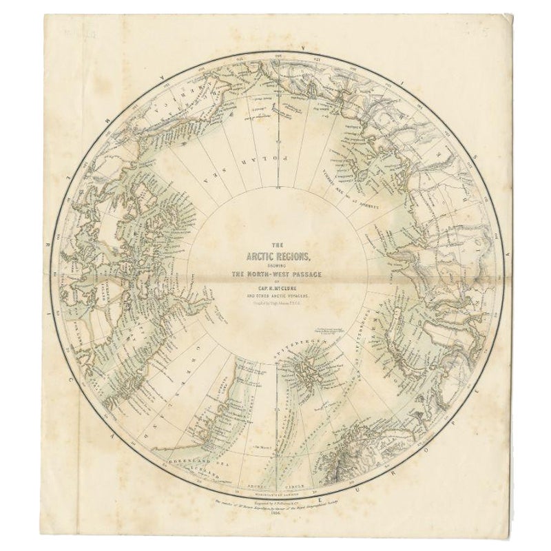
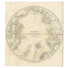
Antique Map of the North Pole by Fullarton, 1856
Located in Langweer, NL
Antique map titled 'The Arctic Regions showing the North-West Passage of Captain R. McClure'. Old map of the North Pole, displaying the Northwest Passage di...
Category
Antique 19th Century Maps
Materials
Paper
$121 Sale Price
20% Off
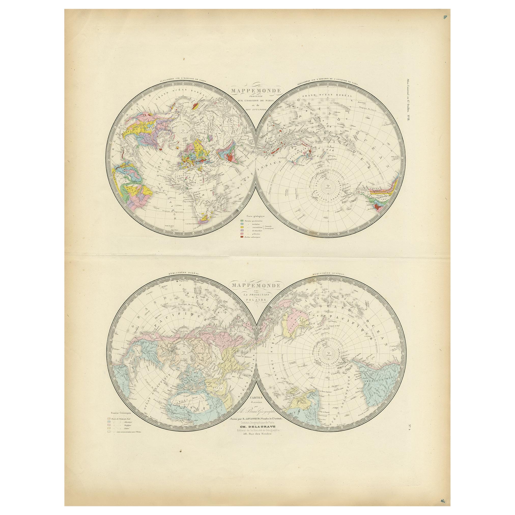
Antique Hemisphere Map of the World 'Two on One Sheet' by Levasseur, '1875'
Located in Langweer, NL
Antique map titled 'Mappemonde projetée sur l'Horizon de Paris et de son Antipode - Mappemonde sur la projection polaire'. Large map with two hemisphere world maps...
Category
Antique Late 19th Century Maps
Materials
Paper

$329 Sale Price
44% Off
Antique Map of The World in Hemispheres on Various Projections, 1882
Located in Langweer, NL
This stunning 1882 'Antique Map of The World in Hemispheres' showcases an exquisite blend of cartographic precision and artistic elegance. Crafted under the watchful eye of W.G. Blac...
Category
Antique 1880s Maps
Materials
Paper

$268 Sale Price
20% Off
Antique Map of the Eastern Hemisphere by Wyld '1845'
Located in Langweer, NL
Antique map titled 'Eastern Hemisphere'. Original antique map of the eastern hemisphere. This map originates from 'An Atlas of the World, Comprehending Separate Maps of its...
Category
Antique Mid-19th Century Maps
Materials
Paper

$335 Sale Price
20% Off
You May Also Like
1864 Original illustrated planisphere - World Map - Geography
Located in PARIS, FR
Immerse yourself in the epic journey of the past with the Illustrated Historical Planisphere of 1864 by Charpentier! 🗺️ This cartographic treasure transports you through the intrica...
Category
1860s Prints and Multiples
Materials
Linen, Lithograph, Paper

Original Antique Map of The Eastern Hemisphere by Dower, circa 1835
Located in St Annes, Lancashire
Nice map of the Eastern Hemisphere
Drawn and engraved by J.Dower
Published by Orr & Smith. C.1835
Unframed.
Free shipping
Category
Antique 1830s English Maps
Materials
Paper

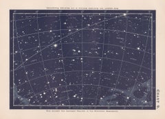
Star Chart. Antique Astronomy celestial print
Located in Melbourne, Victoria
Colour lithograph, 1890. 210mm by 285mm (sheet). From W Peck's 'A Handbook and Atlas of Astronomy', 1890. Sir William Peck FRSE FRAS (1862 – 1925) was a Scottish astronomer and scien...
Category
Late 19th Century Victorian More Prints
Materials
Lithograph
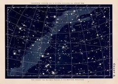
1850 Old French Map Depicting the Entire Earth's Surface Divided into Two Parts
Located in Milan, IT
Geographical map depicting the entire earth’s surface divided into two parts that correspond to the two hemispheres or globes, the map deals with the latitudes and longitudes, the me...
Category
Antique Mid-19th Century French Maps
Materials
Glass, Wood, Paper

More Ways To Browse
Antique Sky Map
Antique Planisphere
Antique Maps Of Sicily
Antique Celestial Maps
Antique Compass Maritime Compasses
Bengal Map
J C Walker Map
Map Of Ancient Greece
Ptolemy Map
Antique Marine Compass
Map Of Jerusalem
1820 World Map
Cyprus Antique Maps
Antique Ecuador
Antique Map Of Thailand
Antique Mississippi Map
Antique Ohio Maps
Burgundy Map