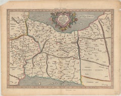
Ptolemy Map

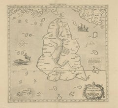
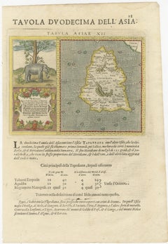
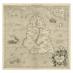
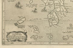
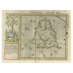
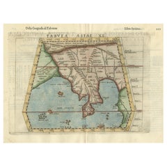
Rare Original Antique Ptolemy Map of Ceylon, Present Day Sri Lanka

Rare Original Antique Ptolemy Map of Ceylon, Present Day Sri Lanka

Located in Langweer, NL

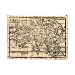
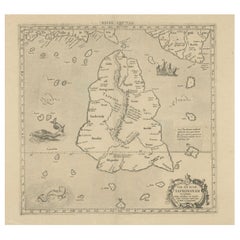
Original antique map titled 'Tab XII Asiae Taprobanam (..)'. For this map of Toprobana (Sri Lanka), Ptolemy drew on the accounts of travelers and sailors and though the information w...

Category

Antique Late 17th Century Maps

Materials

Paper

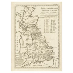
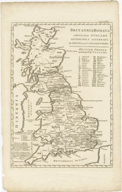
Antique Map of Britain in Roman Times

Antique Map of Britain in Roman Times

Located in Langweer, NL

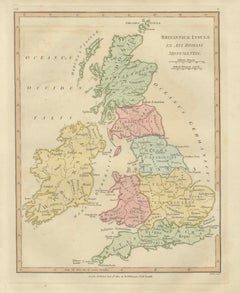
Antique map titled 'Britannia Romana collected from Ptolemy (..)'.

Category

Antique Early 19th Century Maps

Materials

Paper

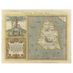
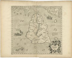
1621 Ptolemy & Magini Map of Taprobana (Sumatra) with Elephant Inset

1621 Ptolemy & Magini Map of Taprobana (Sumatra) with Elephant Inset

Located in Langweer, NL

Title: 1620 Ptolemy and Magini Map of Taprobana (Sumatra) with Elephant Inset, Italian Edition Description: This rare and beautifully hand-colored 1620 map engraving, Tavola Duode...

Category

Antique 1620s Maps

Materials

Paper

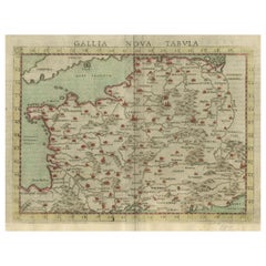
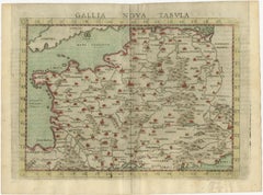
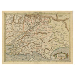
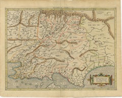
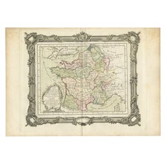
Antique Map of France, based on the work of Ptolemy

Antique Map of France, based on the work of Ptolemy

Located in Langweer, NL

Antique map titled 'Gallia Nova Tabula'. Ruscelli's map of France.

Category

Antique 16th Century Maps

Materials

Paper

Mercator's Ptolemaic map of Taprobana, (Ceylon) Sri Lanka

Mercator's Ptolemaic map of Taprobana, (Ceylon) Sri Lanka

Located in Langweer, NL

The map shows Ptolemy's erroneous location of the island of Sri Lanka near the equator, with a bit of India shown to the northeast.

Category

Antique 16th Century Maps

Materials

Paper

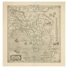
1698 Mercator Ptolemaic Map of Asia East of the Ganges

1698 Mercator Ptolemaic Map of Asia East of the Ganges

Located in Langweer, NL

He then decided to publish a new edition of Ptolemy’s Geographia, followed by his major work, a three-volume collection of maps.

Category

Antique 1680s Dutch Maps

Materials

Paper

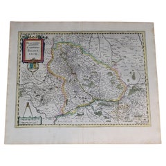
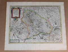
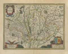
1633 Map Entitled "Beauvaisis Comitatus Belova Cium, Ric.0002

1633 Map Entitled "Beauvaisis Comitatus Belova Cium, Ric.0002

Located in Norton, MA

Jodocus Hondius the Elder * 1588 Maps in The Mariner\\\\\\\\\\\\\\\'s Mirrour (Waghenaer/Ashley) * 1590 World Map in two hemispheres illustrating Drake\\\\\\\\\\\\\\\'s circumnavigat...

Category

Antique 17th Century Dutch Maps

Materials

Paper

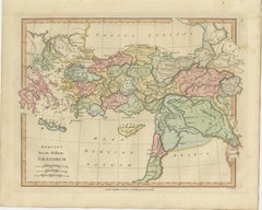
Classical World Map of Greece, Asia Minor & Levant, Wilkinson Atlas 1817

Classical World Map of Greece, Asia Minor & Levant, Wilkinson Atlas 1817

Located in Langweer, NL

Keywords: Ancient Greece map, Classical world map, Graecorum map, Atlas Classica, Robert Wilkinson map, 1817 antique map, Asia Minor map, Anatolia map, Levant map, Mesopotamia map, C...

Category

Antique Early 19th Century British Maps

Materials

Paper

Ancient Course of the Ganges: A First Ptolemaic Map of India by Mercator, c.1584

Ancient Course of the Ganges: A First Ptolemaic Map of India by Mercator, c.1584

Located in Langweer, NL

Created by Gerard Mercator and based on the geographical insights of Claudius Ptolemy, this map is part of the rare first issue published in Brussels in 1578.

Category

Antique 16th Century Maps

Materials

Paper

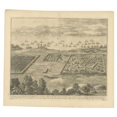
Antique Roman Battle Print of Ptolemy's Camp by Duncan, c.1753

Antique Roman Battle Print of Ptolemy's Camp by Duncan, c.1753

Located in Langweer, NL

Antique battle map showing Ptolemy's Camp. With detailed legend explaining the various elements of the print.

Category

Antique 18th Century Dutch Prints

Materials

Paper

Recent Sales

Antique Map of the Ancient Persian Empire – Imperium Persicum, 1817

Antique Map of the Ancient Persian Empire – Imperium Persicum, 1817

Located in Langweer, NL

Wilkinson’s Atlas Classica was produced as an educational and historical reference work, enabling students and readers of classical literature to visualize the lands described by his...

Category

Antique Early 19th Century British Maps

Materials

Paper

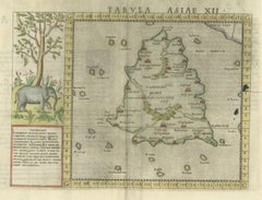
Ptolemy's Map of Asia Depicting the Island of Ceylon, Taprobana (Sri Lanka)

Ptolemy's Map of Asia Depicting the Island of Ceylon, Taprobana (Sri Lanka)

Located in Langweer, NL

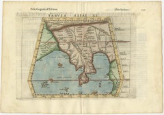
Antique map titled 'Tabula Asiae XII'. Ptolemy's twelfth map of Asia depicting the island of Ceylon, Taprobana, based on Gastaldi's 1548 map.

Category

Antique 16th Century Maps

Materials

Paper

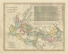
Antique Map of Ancient Empires – Imperiorum Antiquorum, Wilkinson 1821

Antique Map of Ancient Empires – Imperiorum Antiquorum, Wilkinson 1821

Located in Langweer, NL

Scholars, historians, and students sought to visualize the territories described by Greek and Roman writers such as Herodotus, Strabo, Pliny, and Ptolemy. This map reflects that inte...

Category

Antique Early 19th Century British Maps

Materials

Paper

Carta Marina, pigments & gold leaf, abstract landscape, coastline

Carta Marina, pigments & gold leaf, abstract landscape, coastline

By Kerstin Paillard

Located in Stockholm, SE

To construct the map, Magnus drew from a variety of ancient sources including Ptolemy's map in Geographia, and contemporary sources such as the work of Astronomer Jacob Ziegler.

Category

2010s Abstract Abstract Paintings

Materials

Silver, Gold Leaf

You May Also Like

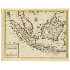
Antique Map of the Sunda Islands Sumatra, Java, Malay Peninsula & Borneo (1739)

Antique Map of the Sunda Islands Sumatra, Java, Malay Peninsula & Borneo (1739)

By Isaak Tirion

Located in Langweer, NL

Antique map titled 'Nieuwe kaart van de Sundasche Eilanden als Borneo, Sumatra en Groot Iava & c'. Detailed map of the Sunda Islands, Southeast Asia, extending from the tip of Ca...

Category

Antique Mid-18th Century Maps

Materials

Paper

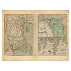
Antique Map of Asia Minor, Egypt & Carthage – Ortelius Theatrum 1572

Antique Map of Asia Minor, Egypt & Carthage – Ortelius Theatrum 1572

Located in Langweer, NL

Antique Map of Asia Minor, Egypt & Carthage – Ortelius Theatrum 1572 This rare and beautifully hand-colored map sheet originates from Abraham Ortelius’s groundbreaking atlas, Theatr...

Category

Antique 16th Century Belgian Maps

Materials

Paper

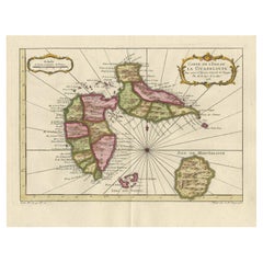
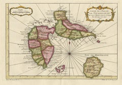
Antique Map of Guadelupe in the Caribbean, 1759

Antique Map of Guadelupe in the Caribbean, 1759

$513

H 10.63 in W 13.59 in D 0.02 in

Antique Map of Guadelupe in the Caribbean, 1759

By Jacques-Nicolas Bellin

Located in Langweer, NL

Antique map titled 'Carte De L'Isle De La Guadeloupe'. Detailed map of Guadalupe, Mari-Galante and the Isles de Saintes. Produced by Nichlas Bellin for Prevost d'Exiles influential t...

Category

Antique Mid-18th Century French Maps

Materials

Paper

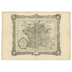
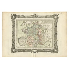
Antique Map of France under the Reign of Charles VII by Zannoni, 1765

Antique Map of France under the Reign of Charles VII by Zannoni, 1765

Located in Langweer, NL

Antique map France titled 'La France sous le Règne de Charles VII (..)'. Beautiful old map of France. This map originates from 'Atlas Historique de la France Ancienne et Moderne'...

Category

Antique 18th Century Maps

Materials

Paper

Antique Map of France under the Reign of Philip II by Zannoni, 1765

Antique Map of France under the Reign of Philip II by Zannoni, 1765

Located in Langweer, NL

Antique map France titled 'La France sous les Regne de Philippe Auguste (..)'. Beautiful old map of France. This map originates from 'Atlas Historique de la France Ancienne et Mo...

Category

Antique 18th Century Maps

Materials

Paper

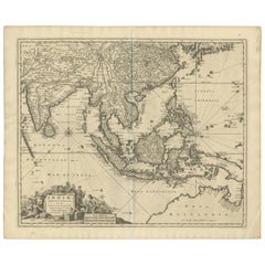
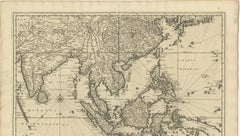
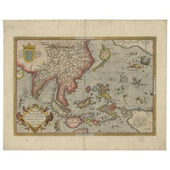
Antique Map of Southeast Asia 'India, Indonesia' by N. Visscher, circa 1670

Antique Map of Southeast Asia 'India, Indonesia' by N. Visscher, circa 1670

Located in Langweer, NL

Antique map titled 'Indiae Orientalis, nec non Insularum Adiacentium Nova Descriptio.' The map centers on the Strait of Malacca and Malay Peninsula. It extends from India and the Mal...

Category

Antique Mid-17th Century Maps

Materials

Paper

Original Antique Ptolemaic Map of the Region of Thailand and Malaysia

Original Antique Ptolemaic Map of the Region of Thailand and Malaysia

Located in Langweer, NL

Antique map titled 'Tabula Asiae XI'. Based on the interpretations of Solinus and Munster, this Ptolemaic map covers the region roughly of Thailand and Malaysia. An oddly shaped (Mal...

Category

Antique 16th Century Maps

Materials

Paper

Antique Map of France in the 5th Century by Zannoni, 1765

Antique Map of France in the 5th Century by Zannoni, 1765

Located in Langweer, NL

Antique map France titled 'Etat de la Gaule (..)'. Beautiful old map of France. This map originates from 'Atlas Historique de la France Ancienne et Moderne' by M. Rizzi Zannoni. ...

Category

Antique 18th Century Maps

Materials

Paper

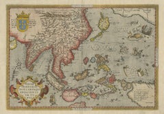
Antique Ortelius Map of Asia Featuring Japan, China, Taiwan & East Indies, 1587

Antique Ortelius Map of Asia Featuring Japan, China, Taiwan & East Indies, 1587

By Abraham Ortelius

Located in Langweer, NL

Ortelius Asia Japan China Taiwan Philippines East Indies Antique Map 1570 This highly important early map of Asia titled “Indiae Orientalis Insularumque Adiacientium Typus” is one o...

Category

Antique 16th Century Belgian Maps

Materials

Paper

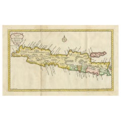
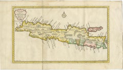
Scarce Antique Map of the Island of Java, Indonesia

Scarce Antique Map of the Island of Java, Indonesia

$741

H 9.53 in W 17.64 in D 0.02 in

Scarce Antique Map of the Island of Java, Indonesia

Located in Langweer, NL

Title: "Kaart van 't Eyland Groot Java: Antique Map of Java, Indonesia" Description: This antique map, titled "Kaart van 't Eyland Groot Java," offers a rare and valuable depiction ...

Category

Antique Late 18th Century Maps

Materials

Paper

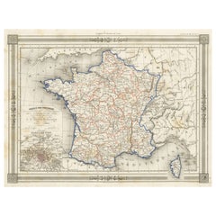
Antique Map of France in Provinces, with Inset of Paris

Antique Map of France in Provinces, with Inset of Paris

Located in Langweer, NL

Antique map titled 'France par Provinces'. Original antique map of France in Provinces. It covers from the Flanders in the north to Roussillon in the south and from Brittany in the w...

Category

Antique Mid-19th Century Maps

Materials

Paper

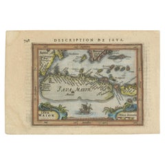
Antique Miniature Map of Java by Bertius/Hondius '1618'

Antique Miniature Map of Java by Bertius/Hondius '1618'

Located in Langweer, NL

Rare antique miniature map titled 'Iava Maior'. This map shows the northern coastline of Java (Indonesia) with numerous place names, but the southern coastline is entirely conjectura...

Category

Antique Early 17th Century Maps

Materials

Paper

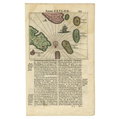
Antique 17th Century Map of the Islands Near Ceylon or Sri Lanka, 1672

Antique 17th Century Map of the Islands Near Ceylon or Sri Lanka, 1672

Located in Langweer, NL

Antique map titled 'Eyland Ceylon.' Map of the islands near Ceylon or Sri Lanka. Dutch text on verso. Source unknown, to be determined. Artists and Engravers: Philip Baldaeus (1632-...

Category

Antique 17th Century Maps

Materials

Paper

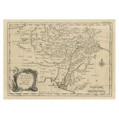
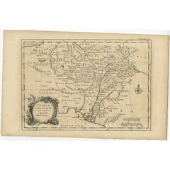
Antique Map of India as Described It Was before the 5th Century, 1744

Antique Map of India as Described It Was before the 5th Century, 1744

Located in Langweer, NL

Antique map titled 'India, as described by all Authors before the fifth Century'. Detailed map of part of India, including Hyrcania, Parthia, Carmania, Gedorossii, Drangiana, Aria, M...

Category

Antique 18th Century Maps

Materials

Paper

Rare Antique Map of Asia with Cartouche Depicting an Elephant, 1753

Rare Antique Map of Asia with Cartouche Depicting an Elephant, 1753

Located in Langweer, NL

Antique map titled 'Asia.' Original antique map of Asia. With a small cartouche depicting an elephant. Map by Daniel de la Feuille. This very rare old antique copperplate engraved pr...

Category

Antique 18th Century Maps

Materials

Paper

Roman Britain Map — Britanniae Insulae Classical Provinces, Wilkinson 1800

Roman Britain Map — Britanniae Insulae Classical Provinces, Wilkinson 1800

Located in Langweer, NL

Roman Britain Map — Britanniae Insulae Classical Provinces, Wilkinson 1800 This finely engraved antique map titled Britannicae Insulae ex Ævi Romani Monumentis presents Great Britai...

Category

Antique Early 19th Century British Maps

Materials

Paper

People Also Browsed

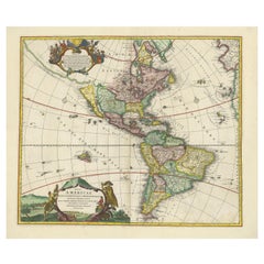
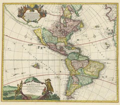
Antique Map of America with California as an Island by Homann '1710'

Antique Map of America with California as an Island by Homann '1710'

Located in Langweer, NL

This antique map, titled "Totius Americae Septentrionalis et Meridionalis," represents a significant cartographic piece from 1710 by Johann Baptist Homann. Here's a description of th...

Category

Antique Early 18th Century Maps

Materials

Paper

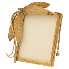
Claude Lalanne, a Rare Gilt-Bronze Dragonfly Frame, France, C. 1985

Claude Lalanne, a Rare Gilt-Bronze Dragonfly Frame, France, C. 1985

By Claude Lalanne

Located in Long Island City, NY, NY

Claude Lalanne (1925-2019) A rare gilt-bronze dragonfly frame, France C. 1985, Signed on reverse Cl. Lalanne Artcurial 25/450. Measures: 4" high x 3.5" wide Great condition. Ready...

Category

20th Century French Art Nouveau Picture Frames

Materials

Bronze

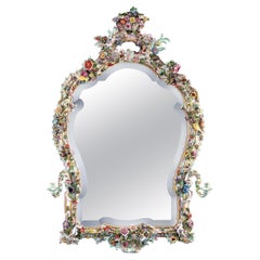
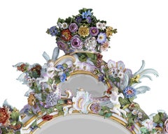
Meissen Porcelain Mirror

Meissen Porcelain Mirror

$74,500

H 65.25 in W 41 in D 5.63 in

Meissen Porcelain Mirror

By Meissen Porcelain

Located in New Orleans, LA

Lavish Meissen porcelain serves as the extraordinary frame for this mirror. Exquisitely hand-painted in polychrome with gilt accents, the bountiful frame is adorned with all manner o...

Category

Antique 19th Century German Rococo Wall Mirrors

Materials

Porcelain, Mirror

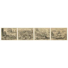
Exotic Encounters: Giant Crabs, Tortoises, Whales, and Cockfights - De Bry, 1598

Exotic Encounters: Giant Crabs, Tortoises, Whales, and Cockfights - De Bry, 1598

Located in Langweer, NL

Title: De Bry Engravings of Exotic Encounters – Giant Crabs, Tortoises, Whales, and Cockfights, c.1598 A remarkable set of four original copper engravings from Theodor de Bry’s cele...

Category

Antique 16th Century Dutch Prints

Materials

Paper

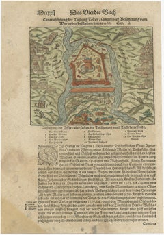
Print of the Fortress Julaof Tokay, Hungary, Surrounded by Turkish Troops, c1580

Print of the Fortress Julaof Tokay, Hungary, Surrounded by Turkish Troops, c1580

Located in Langweer, NL

Antique print Hungary titled 'Contrafehtung der Festung Tokay'. Birds eye view of the fortress Julaof Tokay, Hungary, surrounded with Turkish troops. Originates from a German edi...

Category

Antique 16th Century Prints

Materials

Paper

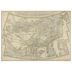
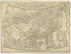
Rare Hand-Colored Antique Map of Tartary, China and Korea, ca.1741

Rare Hand-Colored Antique Map of Tartary, China and Korea, ca.1741

Located in Langweer, NL

Antique map titled 'A General Map of Eastern and Western Tatary, commonly call'd Tartary; drawn from the Particular Maps of the Jesuit Missionaries'. Rare antique map of Tartary, C...

Category

Antique 1740s Maps

Materials

Paper

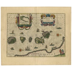
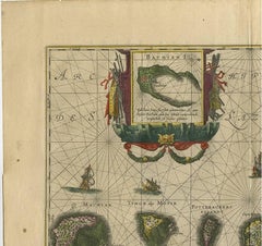
Antique Map of the Spice Islands 'Moluccas', Indonesia by W. Blaeu, circa 1640

Antique Map of the Spice Islands 'Moluccas', Indonesia by W. Blaeu, circa 1640

By Willem Blaeu

Located in Langweer, NL

Antique map titled 'Moluccae Insulae Celeberrimae'. Highly decorative antique map of the Spice Islands (Moluccas) published by W. Blaeu (circa 1640). This map features a large inset ...

Category

Antique Mid-17th Century Dutch Maps

Materials

Paper

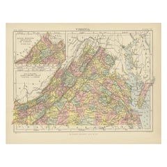
Antique Map of Virginia, with Inset Map of the South Western Continuation

Antique Map of Virginia, with Inset Map of the South Western Continuation

Located in Langweer, NL

Antique map titled 'Virginia'. Original antique map of Virginia, United States. With inset map of the south western continuation of Virginia. This print originates from 'Encyclopaedi...

Category

Antique Late 19th Century Maps

Materials

Paper

Roman Goddess Liberty Large Bronze Statue by Jules Bertin (1826-1892)

Roman Goddess Liberty Large Bronze Statue by Jules Bertin (1826-1892)

Located in New York, NY

Our very large (53.5 in, 136 cm) bronze statue by the French master, Jules Bertin (1826-1892), circa 1879, depicts the Roman goddess, Libertas (Liberty), standing upon a stylized glo...

Category

Antique Late 19th Century French Belle Époque Figurative Sculptures

Materials

Bronze

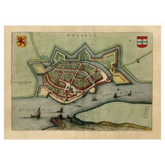
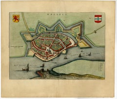
Stunning Bird's-Eye View Plan of Hasselt by Blaeu in The Netherlands, 1649

Stunning Bird's-Eye View Plan of Hasselt by Blaeu in The Netherlands, 1649

Located in Langweer, NL

Antique print, titled: 'Hasselt.' Bird's-eye view plan of Hasselt in The Netherlands. With key to locations and coats of arms. Text in Dutch on verso. This plan originates from t...

Category

Antique 1640s Maps

Materials

Paper

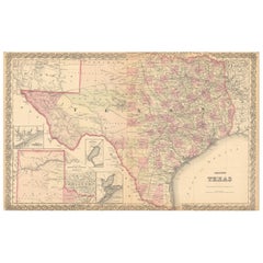
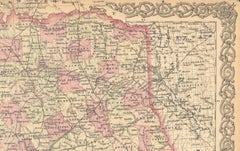
Large Antique Map of Texas with Panhandle & Bay Inset Maps, Colton, 1873

Large Antique Map of Texas with Panhandle & Bay Inset Maps, Colton, 1873

Located in Langweer, NL

Large Antique Map of Texas with Panhandle & Bay Inset Maps, Colton, 1873 This richly detailed and visually striking antique map of Texas was published in 1873 by G.W. & C.B. Colton,...

Category

Antique 1870s Maps

Materials

Paper

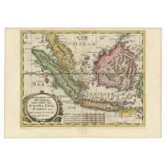
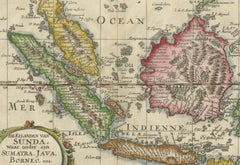
Antique Map of the Sunda Islands Including Sumatra, Java, and Borneo, 1705

Antique Map of the Sunda Islands Including Sumatra, Java, and Borneo, 1705

Located in Langweer, NL

Title: “Antique Map of the Sunda Islands Including Sumatra, Java, and Borneo” This print is a beautifully detailed and relatively rare map of Western Indonesia, encompassing the reg...

Category

Antique Early 1700s Maps

Materials

Paper

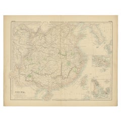
Antique Map of China with insets the Island of Chusan and Canton River, c.1860

Antique Map of China with insets the Island of Chusan and Canton River, c.1860

Located in Langweer, NL

Antique map titled 'China'. Large map of China, with insets the Island of Chusan, and the Estuary of the Canton River from Hong Kong to Canton. Korean peninsula shown. Artists an...

Category

Antique 19th Century Maps

Materials

Paper

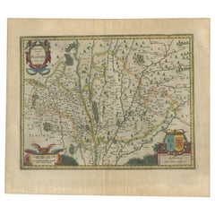
Antique Map of the Region of Blois by Janssonius, 'circa 1640'

Antique Map of the Region of Blois by Janssonius, 'circa 1640'

By Johannes Janssonius

Located in Langweer, NL

Antique map titled 'Description du Blaisois'. Old map of the region of Blois, France. It shows the city of Blois, Amboise, the Loire River and more. Published by J. Janssonius, circa...

Category

Antique Mid-17th Century Maps

Materials

Paper

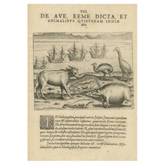
Rare Creatures of the East: A 1601 de Bry Copper Engraving from the Indies

Rare Creatures of the East: A 1601 de Bry Copper Engraving from the Indies

Located in Langweer, NL

Title: "Rare Creatures of the East: A 1601 de Bry Engraving from the Indies" Description: This original 1601 engraving from Theodore de Bry's collection presents a fascinating array...

Category

Antique Early 17th Century Prints

Materials

Paper

Antique Map of Prussia – Blaeu “Prussiae Nova Tabula”, c.1635

Antique Map of Prussia – Blaeu “Prussiae Nova Tabula”, c.1635

By Willem Blaeu

Located in Langweer, NL

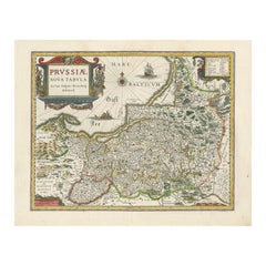
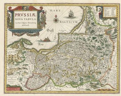
Antique Map of Prussia – Blaeu “Prussiae Nova Tabula”, c.1635 Original antique engraved map titled “Prussiae Nova Tabula,” depicting the historic region of Prussia along the southea...

Category

Antique Mid-17th Century Dutch Maps

Materials

Paper

Get Updated with New Arrivals
Save "Ptolemy Map", and we’ll notify you when there are new listings in this category.

Ptolemy Map For Sale on 1stDibs

Find many varieties of an authentic ptolemy map available at 1stDibs. Each ptolemy map for sale was constructed with extraordinary care, often using paper, canvas and fabric. There are many kinds of the ptolemy map you’re looking for, from those produced as long ago as the 18th Century to those made as recently as the 20th Century. Andreas Cellarius, Johann Bayer and Gerard Mercator each produced at least one beautiful ptolemy map that is worth considering.

Finding the Right Collectibles-curiosities for You

Antique and vintage collectibles and curiosities can bring whimsy and wonder to any interior. 

Decorating with old scientific instruments, historical memorabilia and vintage musical instruments, as well as other authentic collectibles and curiosities that can be found on 1stDibs, presents an opportunity to create a unique, natural history museum-like atmosphere in your home that can provoke conversation as often as it pays tribute to how far we’ve come in understanding our world. 

And bringing collectibles and curiosities into your space is actually on trend — Wunderkammern, or curiosity cabinets, were all the rage in Europe during the 1500s and continued to have adherents there and in the U.S. in the following centuries. Today, however, they’re experiencing a real surge in popularity and influencing how many interior designers are furnishing and decorating homes — combining contemporary with antique, scientific with tribal, earthly with extraterrestrial, Les Lalanne tables with Flemish tapestries.

The original Wunderkammern were entire rooms filled with objects demonstrating their owners’ worldly knowledge: A proper one included artificiala or preciosa (objets d’art); naturalia (such as skeletons, shells, minerals); exotica (taxidermy or dried plants); and scientifica (scientific instruments), frequently alongside religious relics and ancient artifacts.

Pay tribute to a history of rich and diverse musical traditions that have taken shape all over the world by decorating your home with a collection of antique and vintage musical instruments — with a little help from strong hanging wire or some wall hooks, vintage brass instruments such as a gong, French horn or trumpet can help elevate a home office or complement the efforts you’ve made to ensure a welcoming vibe in your home’s entryway. Bells or antique wind instruments can add provocative metallic contrasts to dark woods as tabletop decorative objects.  

Create an intriguing focal point with Georgian scientific instruments, such as stick barometers with mahogany cases or lacquered brass telescopes. These items stem from an era named for the monarchies of the four King Georges, who ruled England in succession starting in 1714 (plus King William’s reign, which lasted until 1837). Just as there was beautiful jewelry produced during the period that today is coveted by collectors, there is much to be found in the collectibles and curiosities realm too.

Wanderlust, nostalgia and a shared love of good design are contributing factors to certain trends in decorating — just as vintage trunks and luggage have reappeared as furniture or home accents in a bedroom or foyer, decorating with globes, maps or nautical objects is similarly rooted in the allure of travel and a penchant for the stylish finishing touch that collectibles bring to our homes.

Find a wide range of antique and vintage collectibles and curiosities on 1stDibs.
Read More