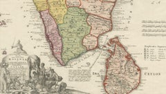
Sri Lanka Map

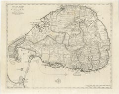
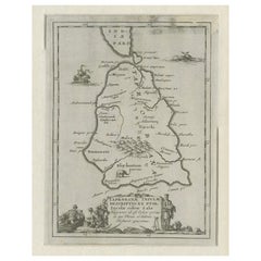
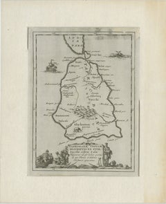
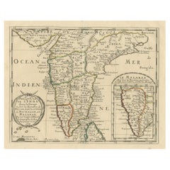
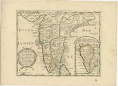
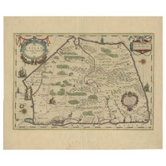
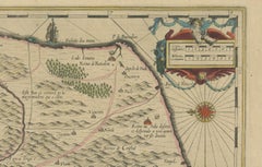
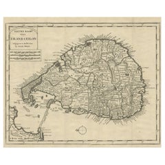
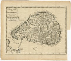
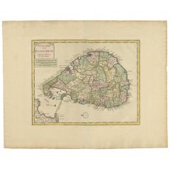
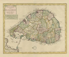
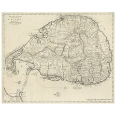
Large Antique Map of Ceylon, Sri Lanka

Large Antique Map of Ceylon, Sri Lanka

Located in Langweer, NL

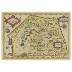
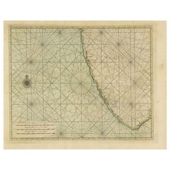
Beautiful map of Sri Lanka. Originates from 'Oud en Nieuw Oost Indien (..)' by F.

Category

Antique Mid-18th Century Maps

Materials

Paper

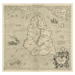
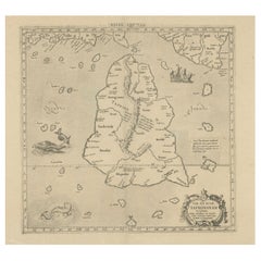
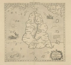
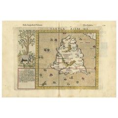
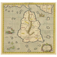
Mercator's Ptolemaic map of Taprobana, (Ceylon) Sri Lanka

Mercator's Ptolemaic map of Taprobana, (Ceylon) Sri Lanka

Located in Langweer, NL

The map shows Ptolemy's erroneous location of the island of Sri Lanka near the equator, with a bit of India shown to the northeast.

Category

Antique 16th Century Maps

Materials

Paper

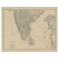
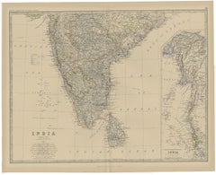
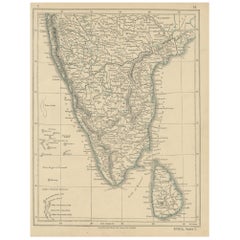
Old Map of Southern India and Ceylon 'Sri Lanka', 1882

Old Map of Southern India and Ceylon 'Sri Lanka', 1882

Located in Langweer, NL

Antique map titled 'India (Southern Sheet)'. Old map of Southern India and Ceylon (Sri Lanka).

Category

Antique 1880s Maps

Materials

Paper

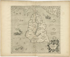
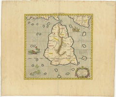
Antique Map of Sri Lanka – Taprobanae Insulae Descriptio by Mercator, 1607

Antique Map of Sri Lanka – Taprobanae Insulae Descriptio by Mercator, 1607

Located in Langweer, NL

The map represents the island of Taprobana, the ancient name used by classical geographers for Sri Lanka—or sometimes the broader Indian Ocean region south of India—based on descript...

Category

Antique Early 17th Century Dutch Maps

Materials

Paper

Rare Attractive Antique Map of Asia, India, Sri Lanka, Maldives, 1599

Rare Attractive Antique Map of Asia, India, Sri Lanka, Maldives, 1599

Located in Langweer, NL

Original Antique map of Asia, India, Ceylon (Sri Lanka), Maldives by Rosaccio / Ruscelli in attractive coloring.

Category

Antique 16th Century Italian Maps

Materials

Paper

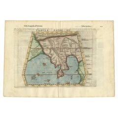
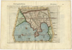
Antique Hand-Coloured Map of India, Sri Lanka, Maldives, ca.1599

Antique Hand-Coloured Map of India, Sri Lanka, Maldives, ca.1599

Located in Langweer, NL

Title: Tabula Asiae XI - 1599 Very old and decorative map of India, Sri Lanka and the Maledives. Put this map in a frame on the wall and amaze your visitors.

Category

Antique 16th Century Maps

Materials

Paper

Rare Original Antique Ptolemy Map of Ceylon, Present Day Sri Lanka

Rare Original Antique Ptolemy Map of Ceylon, Present Day Sri Lanka

Located in Langweer, NL

Original antique map titled 'Tab XII Asiae Taprobanam (..)'. For this map of Toprobana (Sri Lanka), Ptolemy drew on the accounts of travelers and sailors and though the information w...

Category

Antique Late 17th Century Maps

Materials

Paper

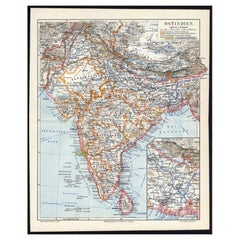
Antique German Map of India and Sri Lanka or Ceylon, 1902

Antique German Map of India and Sri Lanka or Ceylon, 1902

By Meyer

Located in Langweer, NL

Antique map titled 'Ostindien.' (Map of India with an inset map of East-Bengal.) This attractive original old antique print / plate / map originates from 1885-1907 editions of a famo...

Category

20th Century Maps

Materials

Paper

1638 Plancius Detailed Map of Sri Lanka or Ceylon with Decorative Cartouches

1638 Plancius Detailed Map of Sri Lanka or Ceylon with Decorative Cartouches

Located in Langweer, NL

"1638 Plancius Detailed Map of Sri Lanka with Decorative Cartouches" This beautifully detailed map of Sri Lanka, titled "Ins.

Category

Antique 1630s Maps

Materials

Paper

Antique Map of Southern India, Sri Lanka & Maldives with Ocean Currents, 1790

Antique Map of Southern India, Sri Lanka & Maldives with Ocean Currents, 1790

Located in Langweer, NL

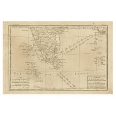
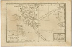
Antique Map of Southern India, Sri Lanka & Maldives with Ocean Currents – Rigobert Bonne Antique engraved map titled “Carte de la Partie Inférieure de l’Inde en Deçà du Gange,” depi...

Category

Antique Late 18th Century Maps

Materials

Paper

Antique Miniature Map of Ceylon 'Sri Lanka' and the Maldives by Bertius, 1618

Antique Miniature Map of Ceylon 'Sri Lanka' and the Maldives by Bertius, 1618

Located in Langweer, NL

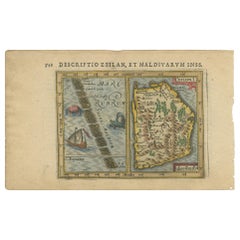
Rare, original antique miniature map of Ceylon/Sri Lanka and the Maldives. This map originates from 'Tabularum Geographicarum Contractarum Libri septem' by P.

Category

Antique Early 17th Century Maps

Materials

Paper

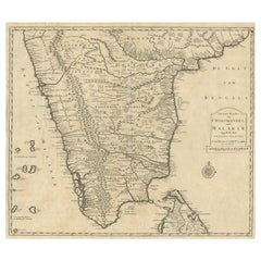
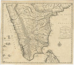
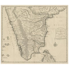
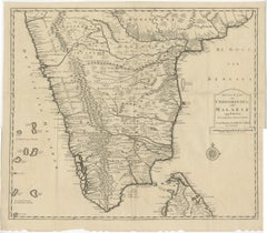
Map of Choromandel & Malabar, Incl Kerala, Tamil Nadu & Part of Sri Lanka, 1726

Map of Choromandel & Malabar, Incl Kerala, Tamil Nadu & Part of Sri Lanka, 1726

Located in Langweer, NL

Included is Kerala, Tamil Nadu and the northern edge of Sri Lanka. This map originates from 'Oud en Nieuw Oost-Indiën (..)' by François Valentyn / Valentijn, published in 1724-1726. ...

Category

Antique 1720s Dutch Maps

Materials

Paper

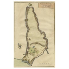
Print of a Dutch VOC Fort on the Peninsula Trincomalee, Ceylon (Sri Lanka), 1726

Print of a Dutch VOC Fort on the Peninsula Trincomalee, Ceylon (Sri Lanka), 1726

Located in Langweer, NL

Dutch print with the title: Platte Grond van t'Fort Tricoen male met de daar aangelegen Pagoods-Berg (Trincomalee, Sri Lanka) The map is taken from: 'Oud en Nieuw Oost-Indiën' van...

Category

Antique 1720s Maps

Materials

Paper

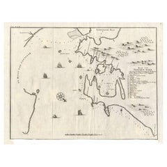
Antique Map of Trincomalee and Tambalagam Bay, 1758

Antique Map of Trincomalee and Tambalagam Bay, 1758

Located in Langweer, NL

Antique map titled 'Bay de Trinquemale'. Map of Trincomalee and Tambalagam Bay in Sri Lanka.

Category

Antique 18th Century Maps

Materials

Paper

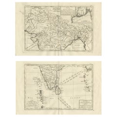
India & Bengal after Bonne – Enlightenment French Cartography, Two-Map Set, 1780

India & Bengal after Bonne – Enlightenment French Cartography, Two-Map Set, 1780

Located in Langweer, NL

Technique: Copperplate engraving Maker: Rigobert Bonne, France, circa 1780 Keywords: India antique map, Bengal antique map, Ganges River map, Bay of Bengal map, Hindustan map, Mugha...

Category

Antique Late 18th Century French Maps

Materials

Paper

Antique Map of India and Ceylon by Pierre M. Lapie, Paper, 1842

Antique Map of India and Ceylon by Pierre M. Lapie, Paper, 1842

Located in Langweer, NL

Map of India and Ceylon (Sri Lanka). This map originates from 'Atlas universel de géographie ancienne et moderne (..)' by Pierre M.

Category

Antique Mid-19th Century French Maps

Materials

Paper

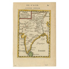
1683 Alain Manesson Mallet Map of Ancient India, the Ganges, and Taprobane

1683 Alain Manesson Mallet Map of Ancient India, the Ganges, and Taprobane

Located in Langweer, NL

Mallet's depiction of Taprobane, or Sri Lanka, follows classical traditions that misrepresented the island’s size and location, a common error in European maps of this period.

Category

Antique 1680s Maps

Materials

Paper

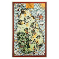
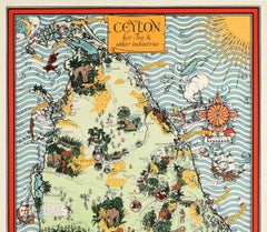
Original Vintage Pictorial Map Poster Ceylon Tea And Other Industries Sri Lanka

Original Vintage Pictorial Map Poster Ceylon Tea And Other Industries Sri Lanka

By "Leslie MacDonald ""Max"" Gill"

Located in London, GB

Original vintage pictorial map poster for Ceylon Her Tea & Other Industries featuring artwork by the notable British cartographer, graphic designer and artist Leslie MacDonald "Max" ...

Category

Vintage 1940s British Posters

Materials

Paper

18th Century Cartographic Depiction of Upper India and Ceylon, 1835

18th Century Cartographic Depiction of Upper India and Ceylon, 1835

Located in Langweer, NL

This atlas, apparently published in 1835, would include maps such as this on, showcasing detailed renderings of India and Ceylon (now known as Sri Lanka).

Category

Antique 1830s French Maps

Materials

Paper

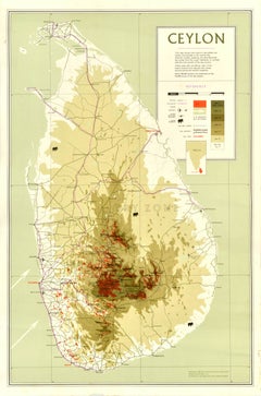
Original Vintage Asia Map Poster Ceylon Sri Lanka Tea Production Colombo Galle

Original Vintage Asia Map Poster Ceylon Sri Lanka Tea Production Colombo Galle

Located in London, GB

Original vintage map of Ceylon highlighting the island's tea estates, production and export infrastructure marking the towns and transport links with the main areas of tea production...

Category

Vintage 1960s British Posters

Materials

Paper

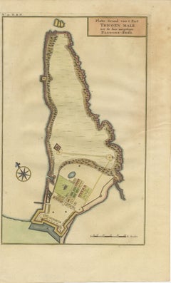
Antique Print of the Malabar Coast of India showing the VOC establishments, 1726

Antique Print of the Malabar Coast of India showing the VOC establishments, 1726

Located in Langweer, NL

Dutch print with the title: Platte Grond van t'Fort Tricoen male met de daar aangelegen Pagoods-Berg (Trincomalee, Sri Lanka) The map is taken from: 'Oud en Nieuw Oost-Indiën' van...

Category

Antique 1720s Maps

Materials

Paper

Recent Sales

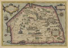
Stunning Antique Map of the Island Ceylon or Sri Lanka

Stunning Antique Map of the Island Ceylon or Sri Lanka

By Gerard Mercator

Located in Langweer, NL

This exquisite, early map of Sri Lanka is shown with an unusual five-sided shape.

Category

Antique Early 17th Century Maps

Materials

Paper

Antique Map of India and Ceylon by Lowry, '1852'

Antique Map of India and Ceylon by Lowry, '1852'

Sold

H 12.21 in W 9.45 in L 12.21 in

Antique Map of India and Ceylon by Lowry, '1852'

Located in Langweer, NL

Original map of India and Ceylon (Sri Lanka). This map originates from 'Lowry's Table Atlas constructed and engraved from the most recent Authorities' by J.W.

Category

Antique Mid-19th Century Maps

Materials

Paper

Antique 1764 Map of Ceylon by I. Tirion - Mid-18th Century Print

Antique 1764 Map of Ceylon by I. Tirion - Mid-18th Century Print

Located in Langweer, NL

Original antique map of Ceylon (Sri Lanka). This map originates from 'Handatlas der geheele Aarde' by I.

Category

Antique Mid-18th Century Dutch Maps

Materials

Paper

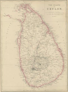
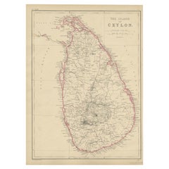
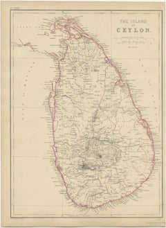
Antique Map of the Island of Ceylon by W. G. Blackie, 1859

Antique Map of the Island of Ceylon by W. G. Blackie, 1859

Located in Langweer, NL

Antique map titled 'The Island of Ceylon'. Original antique map of the Island of Ceylon (Sri Lanka).

Category

Antique Mid-19th Century Maps

Materials

Paper

Antique Map of Ceylon 'Sri Lanka' by Ruscelli, 1574

Antique Map of Ceylon 'Sri Lanka' by Ruscelli, 1574

Sold

H 9.26 in W 13.59 in D 0.02 in

Antique Map of Ceylon 'Sri Lanka' by Ruscelli, 1574

Located in Langweer, NL

Antique map titled 'Tabula Asiae XII'. Very decorative map of Sri Lanka.

Category

Antique 16th Century Maps

Materials

Paper

Antique Ptolemaic Map of Ceylon or nowadays Sri Lanka

Antique Ptolemaic Map of Ceylon or nowadays Sri Lanka

Located in Langweer, NL

Antique map titled 'Tab XII. Asiae Taprobanam'. Ptolemaic map of Sri Lanka.

Category

Antique Mid-18th Century Maps

Materials

Paper

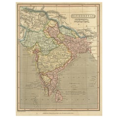
Antique Map of India, or Hindustan, also showing Sri Lanka

Antique Map of India, or Hindustan, also showing Sri Lanka

Located in Langweer, NL

Also shows Sri Lanka (Ceylon). Published after A. Macpherson by Sherwood Neely & Jones, 1821.

Category

Antique Mid-19th Century Maps

Materials

Paper

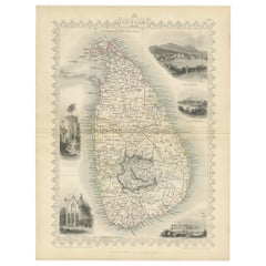
19th Century Illustrated Map of Ceylon (Sri Lanka) with Notable Landmarks

19th Century Illustrated Map of Ceylon (Sri Lanka) with Notable Landmarks

Located in Langweer, NL

These vignettes served as illustrations of local scenes, people, and historical events, providing a visual context for the places on the map. The map of Ceylon, now known as Sri Lan...

Category

Antique 1850s Maps

Materials

Paper

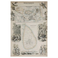
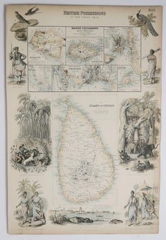
Original Antique Decorative Map of Sri Lanka, Singapore etc. Fullarton, C.1870

Original Antique Decorative Map of Sri Lanka, Singapore etc. Fullarton, C.1870

Located in St Annes, Lancashire

Great map of Sri Lanka and various vignettes including Singapore Wonderful figural border From the celebrated Royal Illustrated Atlas Lithograph.

Category

Antique 1870s Scottish Maps

Materials

Paper

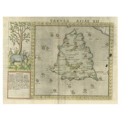
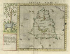
Ptolemy's Map of Asia Depicting the Island of Ceylon, Taprobana (Sri Lanka)

Ptolemy's Map of Asia Depicting the Island of Ceylon, Taprobana (Sri Lanka)

Located in Langweer, NL

Antique map titled 'Tabula Asiae XII'. Ptolemy's twelfth map of Asia depicting the island of Ceylon, Taprobana, based on Gastaldi's 1548 map. There is an illustration of an elephant...

Category

Antique 16th Century Maps

Materials

Paper

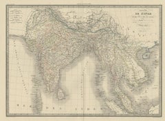
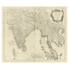
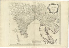
Old Map of India, Sri Lanka, Thailand, Myanmar, Laos, Vietnam, Malaysia, 1779

Old Map of India, Sri Lanka, Thailand, Myanmar, Laos, Vietnam, Malaysia, 1779

Located in Langweer, NL

Old map of Southern Asia with India and Indochina by Robert de Vaugondy. Gilles Robert de Vaugondy (1688-1766) and his son Didier Robert de Vaugondy (1723-1786) were leading cart...

Category

Antique 1770s Maps

Materials

Paper

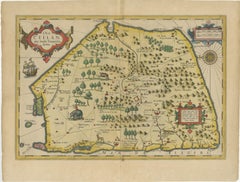
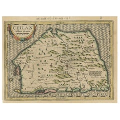
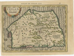
17th-Century Map of Sri Lanka (Ceylon) by Mercator & van den Keere, 1630

17th-Century Map of Sri Lanka (Ceylon) by Mercator & van den Keere, 1630

Located in Langweer, NL

This captivating 17th-century map titled "Zeilan ou Ceilon Isle" (Ceylon/Sri Lanka) was engraved by Petrus Kaerius (van den Keere) and published in Mercator's "Atlas Minor," edited b...

Category

Antique 1630s Maps

Materials

Paper

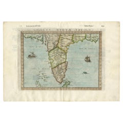
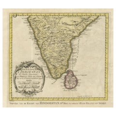
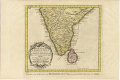
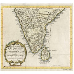
Antique Map of Southern India and Ceylon 'Sri Lanka' by J.N. Bellin, 1764

Antique Map of Southern India and Ceylon 'Sri Lanka' by J.N. Bellin, 1764

Located in Langweer, NL

Fine antique map of the southern part of India and Ceylon (Sri Lanka) with a nice title cartouche at lower left.

Category

Antique Mid-18th Century Maps

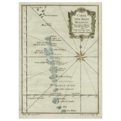
Fine Copper Engraved Map of the Maldives, Southwest of India & Sri Lanka, c.1750

Fine Copper Engraved Map of the Maldives, Southwest of India & Sri Lanka, c.1750

Located in Langweer, NL

Antique map titled 'Carte des Isles Maledives'. Detailed copper engraved map of the Maldives, southwest of India and Sri Lanka, and extending from Isles Divandorou down to Pora M...

Category

Antique 1750s Maps

Materials

Paper

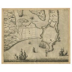
Antique Bird's-Eye Plan of the Port City of Colombo, Sri Lanka (Ceylon), 1672

Antique Bird's-Eye Plan of the Port City of Colombo, Sri Lanka (Ceylon), 1672

Located in Langweer, NL

Antique map titled 'Columbo.' Bird's-eye plan of the important port city of Colombo, Sri Lanka, during the period of Dutch occupation.

Category

Antique 1670s Maps

Materials

Paper

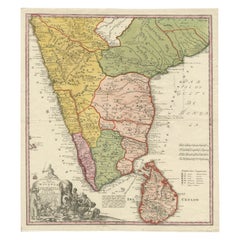
Original Antique Map of Malabar, Coromandel 'India' and Ceylon

Original Antique Map of Malabar, Coromandel 'India' and Ceylon

Located in Langweer, NL

Large and attractive original hand colored map of Sri Lanka and the Southern part of the Indian Peninsula, with an elaborate cartouche showing an elephant and elaborately clothed ind...

Category

Antique Mid-18th Century Maps

Materials

Paper

Get Updated with New Arrivals
Save "Sri Lanka Map", and we’ll notify you when there are new listings in this category.

Sri Lanka Map For Sale on 1stDibs

At 1stDibs, there are many versions of the ideal sri lanka map for your home. Each sri lanka map for sale was constructed with extraordinary care, often using paper. You’ve searched high and low for the perfect sri lanka map — we have versions that date back to the 18th Century alongside those produced as recently as the 20th Century are available. Meyer each produced at least one beautiful sri lanka map that is worth considering.

Finding the Right Collectibles-curiosities for You

Antique and vintage collectibles and curiosities can bring whimsy and wonder to any interior. 

Decorating with old scientific instruments, historical memorabilia and vintage musical instruments, as well as other authentic collectibles and curiosities that can be found on 1stDibs, presents an opportunity to create a unique, natural history museum-like atmosphere in your home that can provoke conversation as often as it pays tribute to how far we’ve come in understanding our world. 

And bringing collectibles and curiosities into your space is actually on trend — Wunderkammern, or curiosity cabinets, were all the rage in Europe during the 1500s and continued to have adherents there and in the U.S. in the following centuries. Today, however, they’re experiencing a real surge in popularity and influencing how many interior designers are furnishing and decorating homes — combining contemporary with antique, scientific with tribal, earthly with extraterrestrial, Les Lalanne tables with Flemish tapestries.

The original Wunderkammern were entire rooms filled with objects demonstrating their owners’ worldly knowledge: A proper one included artificiala or preciosa (objets d’art); naturalia (such as skeletons, shells, minerals); exotica (taxidermy or dried plants); and scientifica (scientific instruments), frequently alongside religious relics and ancient artifacts.

Pay tribute to a history of rich and diverse musical traditions that have taken shape all over the world by decorating your home with a collection of antique and vintage musical instruments — with a little help from strong hanging wire or some wall hooks, vintage brass instruments such as a gong, French horn or trumpet can help elevate a home office or complement the efforts you’ve made to ensure a welcoming vibe in your home’s entryway. Bells or antique wind instruments can add provocative metallic contrasts to dark woods as tabletop decorative objects.  

Create an intriguing focal point with Georgian scientific instruments, such as stick barometers with mahogany cases or lacquered brass telescopes. These items stem from an era named for the monarchies of the four King Georges, who ruled England in succession starting in 1714 (plus King William’s reign, which lasted until 1837). Just as there was beautiful jewelry produced during the period that today is coveted by collectors, there is much to be found in the collectibles and curiosities realm too.

Wanderlust, nostalgia and a shared love of good design are contributing factors to certain trends in decorating — just as vintage trunks and luggage have reappeared as furniture or home accents in a bedroom or foyer, decorating with globes, maps or nautical objects is similarly rooted in the allure of travel and a penchant for the stylish finishing touch that collectibles bring to our homes.

Find a wide range of antique and vintage collectibles and curiosities on 1stDibs.
Read More