Items Similar to Original Antique Map showing Southern India, Northern Sri Lanka & Malabar, 1652


Want more images or videos?
Request additional images or videos from the seller
1 of 5
Original Antique Map showing Southern India, Northern Sri Lanka & Malabar, 1652
About the Item
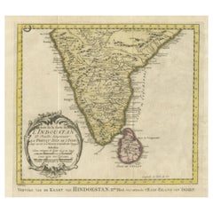
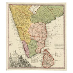
Antique map titled 'Presqu'Isle de l'Inde deca le Gange (..)'.
Old map showing the southern part of India, including the northern part of Sri Lanka. With inset map of Southern India (Malabar). This map covers the subcontinent from the Bay of Bengal and the Gulf of Cambay to Ceylon. The Mogul Empire can be found in the north. Further south the kingdoms of Deccan, Malabar, Bisnagar, and Golconda, among others, are noted. Also includes the Portuguese enclave of Goa on India's west coast. Originates from 'L'Asie en plusieurs cartes nouvelles, et exactes' by N. Sanson.
Artists and Engravers: Nicolas Sanson (1600 - 1667) and his descendants were the most influential French cartographers of the 17th century and laid the groundwork for the Golden Age of French Cartography.
- Dimensions:Height: 9.65 in (24.5 cm)Width: 13.19 in (33.5 cm)Depth: 0 in (0.02 mm)
- Materials and Techniques:
- Period:1650-1659
- Date of Manufacture:1652
- Condition:Wear consistent with age and use. Condition: Very good, general age-related toning. Original/contemporary hand coloring. Blank verso, please study image carefully.
- Seller Location:Langweer, NL
- Reference Number:
About the Seller
5.0
Platinum Seller
These expertly vetted sellers are 1stDibs' most experienced sellers and are rated highest by our customers.
Established in 2009
1stDibs seller since 2017
1,916 sales on 1stDibs
Typical response time: <1 hour
- ShippingRetrieving quote...Ships From: Langweer, Netherlands
- Return PolicyA return for this item may be initiated within 14 days of delivery.
More From This SellerView All
- Original Antique Map of Southern India and Ceylon 'Present-Day Sri Lanka'By Jakob van der SchleyLocated in Langweer, NLAntique map titled 'Suite de la Carte de l'Indoustan (..) - Vervolg van de Kaart van Hindoestan (..)'. Original antique map of Southern India and Ceylon (present-day Sri Lanka). This...Category
Antique Mid-18th Century Maps
MaterialsPaper
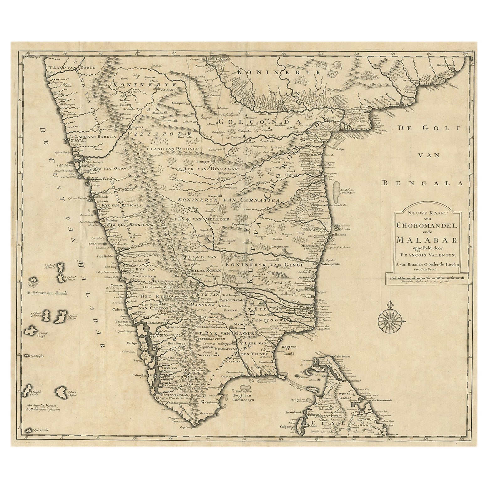
- Old Original Map of Chormandel & Malabar, India & Ceylon, Now Sri Lanka, 1726Located in Langweer, NLAntique map titled 'Nieuwe Kaart van Choromandel ende Malabar'. Antique map depicting the southern part of India and the northern tip of Ceylon, Sri Lanka. This map originates from...Category
Antique 1720s Maps
MaterialsPaper
- Old Map of Southern India and Ceylon 'Sri Lanka', 1882Located in Langweer, NLAntique map titled 'India (Southern Sheet)'. Old map of Southern India and Ceylon (Sri Lanka). With an inset map of the South-Eastern Provinces of India. This map originates from...Category
Antique 1880s Maps
MaterialsPaper
- Original Antique Map of Northern IndiaBy Jakob van der SchleyLocated in Langweer, NLAntique map titled 'Carte de l'Indoustan (..) - Kaart van Hindoestan (..)'. Original antique map of northern India. This map originates from 'His...Category
Antique Mid-18th Century Maps
MaterialsPaper
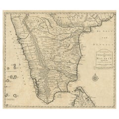
- Original Antique Map of Malabar, Coromandel 'India' and CeylonLocated in Langweer, NLAntique map titled 'Peninsula Indiae citra Gangem, hoc est Orae celeberrimae Malabar & Coromandel (..)'. Large and attractive original hand colored map of Sri Lanka and the Southern ...Category
Antique Mid-18th Century Maps
MaterialsPaper
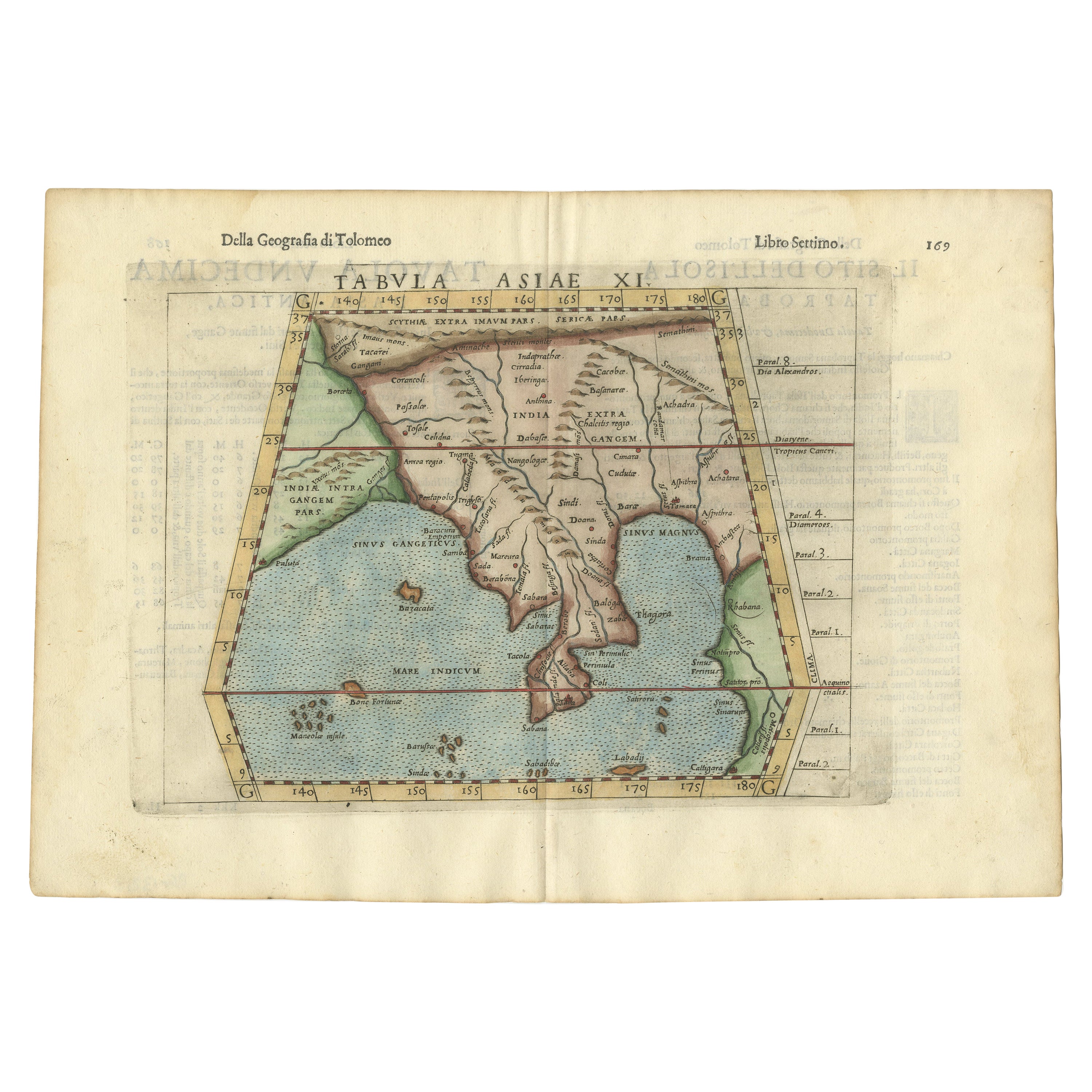
- Antique Hand-Coloured Map of India, Sri Lanka, Maldives, ca.1599Located in Langweer, NLTitle: Tabula Asiae XI - 1599 Very old and decorative map of India, Sri Lanka and the Maledives. Put this map in a frame on the wall and amaze your visitors. This original engravi...Category
Antique 16th Century Maps
MaterialsPaper


You May Also Like
- Original Antique Map of India. C.1780Located in St Annes, LancashireGreat map of India Copper-plate engraving Published C.1780 Three small worm holes to right side of map and one bottom left corner Unframed.Category
Antique Early 1800s English Georgian Maps
MaterialsPaper

- Original Antique Map of Italy. C.1780Located in St Annes, LancashireGreat map of Italy Copper-plate engraving Published C.1780 Unframed.Category
Antique Early 1800s English Georgian Maps
MaterialsPaper

- Original Antique Map of Asia. C.1780Located in St Annes, LancashireGreat map of Asia Copper-plate engraving Published C.1780 Two small worm holes to right side of map Unframed.Category
Antique Early 1800s English Georgian Maps
MaterialsPaper

- Original Antique Map of Hungary, Arrowsmith, 1820Located in St Annes, LancashireGreat map of Hungary Drawn under the direction of Arrowsmith. Copper-plate engraving. Published by Longman, Hurst, Rees, Orme and Brown, 1820 Unframed.Category
Antique 1820s English Maps
MaterialsPaper
- Original Antique Map of France, Arrowsmith, 1820Located in St Annes, LancashireGreat map of France Drawn under the direction of Arrowsmith. Copper-plate engraving. Published by Longman, Hurst, Rees, Orme and Brown, 1820 Unframed.Category
Antique 1820s English Maps
MaterialsPaper
- Original Antique Map of Canada, Arrowsmith, 1820Located in St Annes, LancashireGreat map of Canada. Drawn under the direction of Arrowsmith. Copper-plate engraving. Published by Longman, Hurst, Rees, Orme and Brown, 1820 ...Category
Antique 1820s English Maps
MaterialsPaper


Recently Viewed
View AllMore Ways To Browse
Southern Antiques
Northern French Furniture
India 17th Century
Map Of South Of France
Map Of India
Cart Cover
Antique Furniture In Sri Lanka
Antique Maps India
Antique Map India
India Antique Map
Antique India Map
Antique Maps Of India
Antique Map Of India
Antique Sri Lanka
Sri Lankan Antiques
Ceylon Antique Furniture
Malabar Furniture
Northern France Map