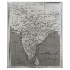
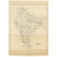
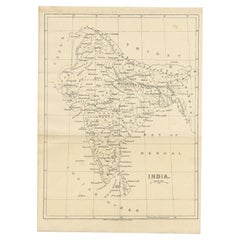
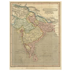
Map Of India

to
66
147
147
1
1
1
80
55
12
1
5
4
1
2
2
147
2
2
1
1
43
17
11
9
7
148
148
148
2
2
1
1
1
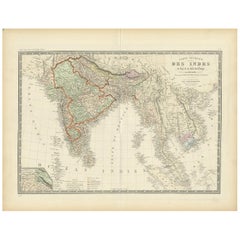
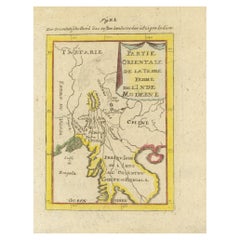
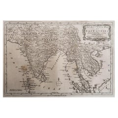
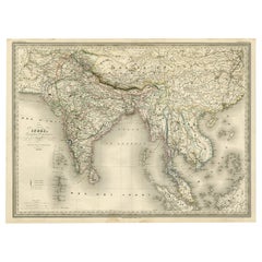
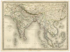
Antique Map of India to Southeast Asia

Antique Map of India to Southeast Asia

Located in Langweer, NL

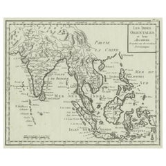
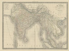
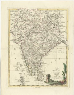
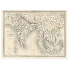
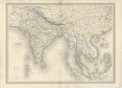
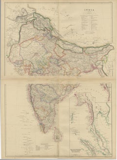
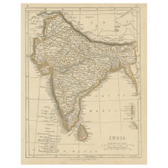
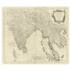
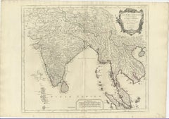
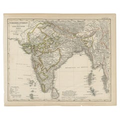
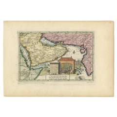
Original old map of India to Southeast Asia, showing India, Nepal, Bhutan, Sri Lanka (Ceylon), Myanmar (Birma), part of Indonesia and surroundings.

Category

Antique Mid-19th Century Maps

Materials

Paper

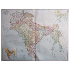
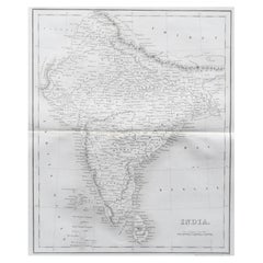
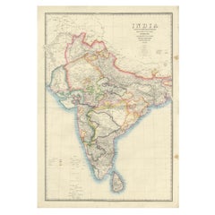
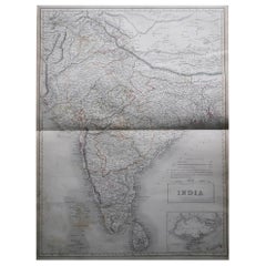
Large Original Vintage Map of India, circa 1920

Large Original Vintage Map of India, circa 1920

Located in St Annes, Lancashire

Great map of India Original color. Good condition / repair to some minor damage just above Sri Lanka.

Category

Vintage 1920s English Maps

Materials

Paper

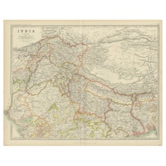
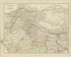
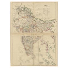
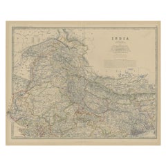
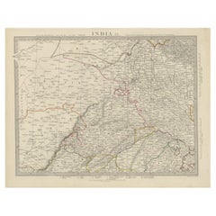
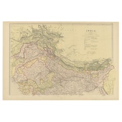
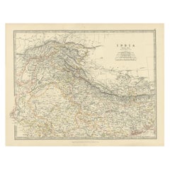
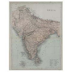
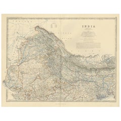
Antique Map of India 'Northern' by Johnston '1909'

Antique Map of India 'Northern' by Johnston '1909'

Located in Langweer, NL

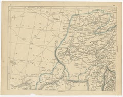
Antique map titled 'India'. Original antique map of India, Northern sheet.

Category

Early 20th Century Maps

Materials

Paper

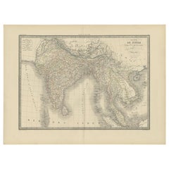
Authentic Antique Map of India and Ceylon,  1875

Authentic Antique Map of India and Ceylon, 1875

Located in Langweer, NL

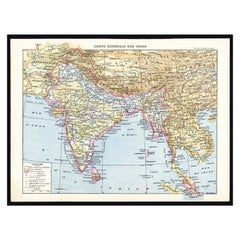
Antique map titled 'Carte générale des Indes'. Large map of India and Ceylon.

Category

Antique Late 19th Century French Maps

Materials

Paper

Original Antique Map of India by Dower, circa 1835

Original Antique Map of India by Dower, circa 1835

Located in St Annes, Lancashire

Nice map of India Drawn and engraved by J.Dower Published by Orr & Smith.

Category

Antique 1830s English Maps

Materials

Paper

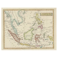
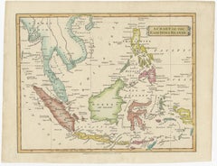
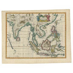
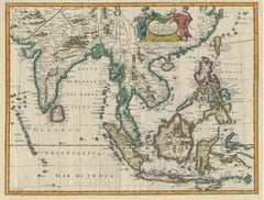
Antique Map of India, the East Indies and the Philippines

Antique Map of India, the East Indies and the Philippines

Located in Langweer, NL

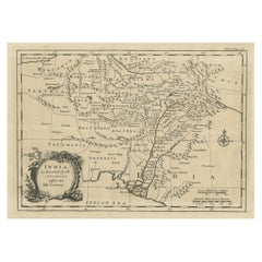
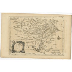
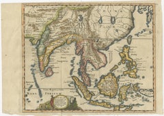
Original antique map of India, the East Indies and the Philippines.

Category

Antique Mid-18th Century Maps

Materials

Paper

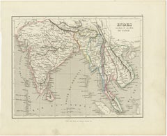
Antique Map of India and Southeast Asia by Balbi '1847'

Antique Map of India and Southeast Asia by Balbi '1847'

Located in Langweer, NL

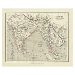
Antique map titled 'India en deçà et au delà du Gange'.

Category

Antique Mid-19th Century Maps

Materials

Paper

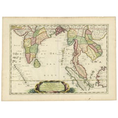
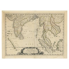
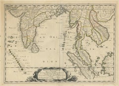
Antique Map of India and Southeast Asia by Sanson '1654'

Antique Map of India and Southeast Asia by Sanson '1654'

Located in Langweer, NL

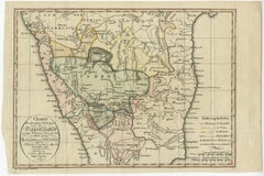
Antique map titled 'Partie Meridionale de l'Inde'. Early map of India and Southeast Asia.

Category

Antique Mid-17th Century Maps

Materials

Paper

Antique Map of India and Ceylon by Pierre M. Lapie, Paper, 1842

Antique Map of India and Ceylon by Pierre M. Lapie, Paper, 1842

Located in Langweer, NL

Map of India and Ceylon (Sri Lanka). This map originates from 'Atlas universel de géographie ancienne et moderne (..)' by Pierre M.

Category

Antique Mid-19th Century French Maps

Materials

Paper

Antique Hand-Coloured Map of India, Sri Lanka, Maldives, ca.1599

Antique Hand-Coloured Map of India, Sri Lanka, Maldives, ca.1599

Located in Langweer, NL

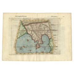
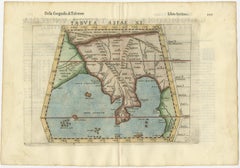
Title: Tabula Asiae XI - 1599 Very old and decorative map of India, Sri Lanka and the Maledives. Put this map in a frame on the wall and amaze your visitors.

Category

Antique 16th Century Maps

Materials

Paper

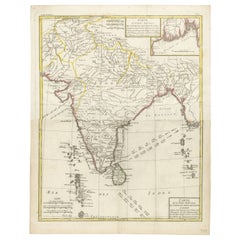
Antique Map of India and Ceylon, along with the Maldives

Antique Map of India and Ceylon, along with the Maldives

Located in Langweer, NL

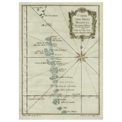
Beautiful map of India and Ceylon, along with the Maldives.

Category

Antique Late 18th Century Maps

Materials

Paper

Antique German Map of India and Sri Lanka or Ceylon, 1902

Antique German Map of India and Sri Lanka or Ceylon, 1902

By Meyer

Located in Langweer, NL

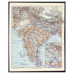
Antique map titled 'Ostindien.' (Map of India with an inset map of East-Bengal.)

Category

20th Century Maps

Materials

Paper

Colorful and Decorative Miniature Map of India, Ceylon by Bertius 1616

Colorful and Decorative Miniature Map of India, Ceylon by Bertius 1616

Located in Langweer, NL

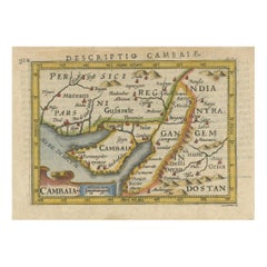
Old 17th century miniature antique map of India - Ceylon from the 1616 edition of Jadocus Hondius Atlas by Petrus Bertius.

Category

Antique 17th Century Maps

Materials

Paper

Detailed Original Antique Map of India, Southeast Asia and the Far East, 1719

Detailed Original Antique Map of India, Southeast Asia and the Far East, 1719

Located in Langweer, NL

Detailed map of India, Southeast Asia and the Far East, extending from Gujerat to the supposed "Terre De Yeco" (Yesso), north of Japan, and south to include Sumatra, Java and New Gui...

Category

Antique 1710s Maps

Materials

Paper

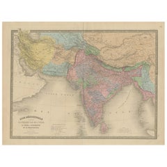
Antique Map of India, Persia & Afghanistan – Detailed Continental Engraving 1864

Antique Map of India, Persia & Afghanistan – Detailed Continental Engraving 1864

Located in Langweer, NL

Antique Map of India, Persia & Afghanistan – Andriveau-Goujon, Paris 1864 This detailed 19th-century map titled “Asie Méridionale comprenant la Presqu'île de l'Inde, la Perse, l'Afg...

Category

Antique Mid-19th Century French Maps

Materials

Paper

Johnston's Travelling Map of India on Linen in Original Cloth, 1857

Johnston's Travelling Map of India on Linen in Original Cloth, 1857

Located in Langweer, NL

Johnston's Travelling Map of India on Linen in Original Cloth, 1857 An exceptionally rare and historically important travelling map of the Indian subcontinent, published by the reno...

Category

Antique Mid-19th Century British Maps

Materials

Paper, Linen

Antique Map of India & Southeast Asia – Chevalier Engraving, Malte-Brun, 1853

Antique Map of India & Southeast Asia – Chevalier Engraving, Malte-Brun, 1853

Located in Langweer, NL

Antique Map of India and Southeast Asia – Chevalier Engraving from Malte-Brun’s Atlas, 1853 This beautifully engraved map titled “Inde, comprenant les Empires de la Chine, de l’Indo...

Category

Antique Mid-19th Century English Maps

Materials

Paper

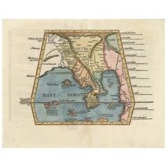
Map of India and Southeast Asia from Ptolemaic Geography – 16th Century Woodcut

Map of India and Southeast Asia from Ptolemaic Geography – 16th Century Woodcut

Located in Langweer, NL

Map of India and Southeast Asia from Ptolemaic Geography – 16th Century Woodcut This remarkable hand-colored woodcut map, originally designed according to the geographical knowledge...

Category

Antique 16th Century European Maps

Materials

Paper

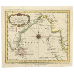
Antique Map of India and the Gulf of Bengal by Mallet, c.1686

Antique Map of India and the Gulf of Bengal by Mallet, c.1686

Located in Langweer, NL

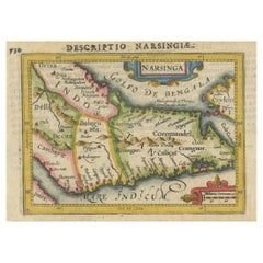
Small map of India and the Gulf of Bengal. This map originates from a German edition of 'Description de l' Univers'.

Category

Antique 17th Century Maps

Materials

Paper

Large Antique Map of India – Post Roads and Dak Stations by James Wyld, c.1855

Large Antique Map of India – Post Roads and Dak Stations by James Wyld, c.1855

Located in Langweer, NL

Antique Map of India – Post Roads and Dak Stations by James Wyld, c.1855 This impressive antique map titled "India Shewing the Post Roads and Dak Stations" was engraved and publishe...

Category

Antique Mid-19th Century English Maps

Materials

Paper

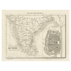
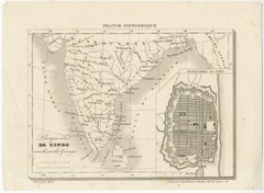
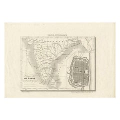
Antique Map of India with Inset of Puducherry by Monin, 1835

Antique Map of India with Inset of Puducherry by Monin, 1835

Located in Langweer, NL

Miniature map depicting India with an inset map of Pondicherry (Puducherry).

Category

Antique 19th Century Maps

Materials

Paper

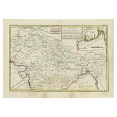
Map of India and Ceylon with Inset of Calcutta and the Ganges, by Bonne, 1780

Map of India and Ceylon with Inset of Calcutta and the Ganges, by Bonne, 1780

Located in Langweer, NL

This area was particularly important due to its role in British colonial trade and influence in India during the 18th century. 3. Map Title: - The main title of the map in the ca...

Category

Antique 1780s French Maps

Materials

Paper

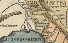
Ancient Course of the Ganges: A First Ptolemaic Map of India by Mercator, c.1584

Ancient Course of the Ganges: A First Ptolemaic Map of India by Mercator, c.1584

Located in Langweer, NL

**Ganges River**: Another crucial river not just for its cultural and religious significance in India, but also as a vital geographic feature in ancient and medieval maps. 3.

Category

Antique 16th Century Maps

Materials

Paper

Original Illustration Map of India by Charles Burki, 1951 – Ink Drawing

Original Illustration Map of India by Charles Burki, 1951 – Ink Drawing

Located in Langweer, NL

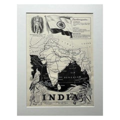
Original Illustration Map of India by Charles Burki, 1951 – Ink Drawing Original pen-and-ink illustration of India by Dutch artist Charles Burki (1909–1994), executed in 1951.

Category

Vintage 1950s Dutch Drawings

Materials

Paper

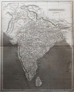
Antique Map of Hindustan, or India

Antique Map of Hindustan, or India

Located in Langweer, NL

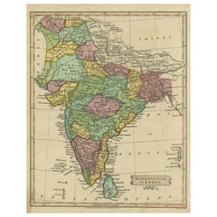
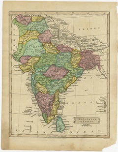
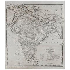
Antique map titled 'Hindoostan, or India'. Original antique map of India (Hindustan) and Sri Lanka (Ceylon).

Category

Antique Early 19th Century Maps

Materials

Paper

Two Maps of Asia on One Sheet, India, Bangladesh and Malaysia & Burma etc., 1617

Two Maps of Asia on One Sheet, India, Bangladesh and Malaysia & Burma etc., 1617

Located in Langweer, NL

The recto features an interesting map of India, Bangladesh and the Ganges River. On the verso, a map of Indochina, Malaysia, Thailand, Burma and surroundings.

Category

Antique 1610s Maps

Materials

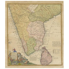
Paper

Original Detailed Antique Map of Southern India and Most of Ceylon, 1744

Original Detailed Antique Map of Southern India and Most of Ceylon, 1744

Located in Langweer, NL

Antique map titled 'A Map of India on the west Side of the Ganges, comprehending the coasts of Malabar, Coromandel and the Island Ceylon'.

Category

Antique 1740s Maps

Materials

Paper

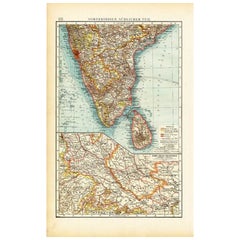
Antique Map of Southern India by Andree, 1904

Antique Map of Southern India by Andree, 1904

Located in Langweer, NL

"Antique map titled 'Vorderindien, sudlicher Teil'. Map of India, southern part.

Category

20th Century Maps

Materials

Paper

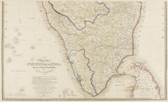
Original Antique Map of the Peninsula of India with Part of Ceylon by Wyld, 1844

Original Antique Map of the Peninsula of India with Part of Ceylon by Wyld, 1844

Located in Langweer, NL

This extensive map of India, spanning two sheets, draws from Reynell’s original map and incorporates data provided by Sir Archibald Campbell, as well as surveys conducted by Colonel ...

Category

Antique Mid-18th Century Maps

Materials

Paper

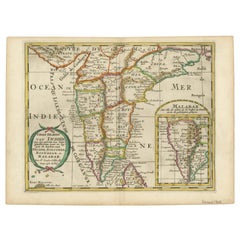
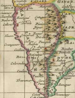
1705 Sanson Map of Southern India and Malabar with an Inset Map

1705 Sanson Map of Southern India and Malabar with an Inset Map

Located in Langweer, NL

Title: 1705 Sanson Map of Southern India and Malabar with an Inset Map Description: This finely engraved and beautifully hand-colored antique map, published in 1705, depicts south...

Category

Antique Early 1700s Maps

Materials

Paper

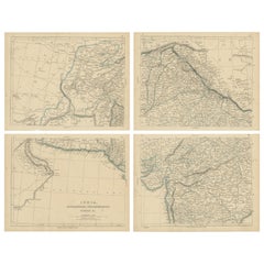
Vintage Cartographic Collection Set of India Explored - W. G. Blackie's 1859

Vintage Cartographic Collection Set of India Explored - W. G. Blackie's 1859

Located in Langweer, NL

Antique map titled 'India'. Original antique map of India with inset maps of Pegu, the Tenasserim Provinces, straits settlements.

Category

Antique Mid-19th Century Maps

Materials

Paper

Antique Map Set of India, Two Sheets of Black’s General Atlas, Bartholomew 1884

Antique Map Set of India, Two Sheets of Black’s General Atlas, Bartholomew 1884

Located in Langweer, NL

Black, Edinburgh, 1884 Keywords: India, antique map India, India map 1884, British India map, Bartholomew map India, Black’s General Atlas, India atlas map, Victorian map India, his...

Category

Antique Late 19th Century Scottish Maps

Materials

Paper

1616 Petrus Bertius Miniature Map of Cambay (Gujarat, India)

1616 Petrus Bertius Miniature Map of Cambay (Gujarat, India)

Located in Langweer, NL

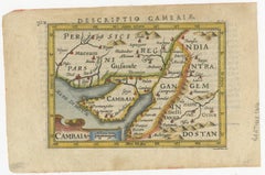
Title: 1616 Petrus Bertius Map of Cambay and Gujarat, India Description: This early seventeenth-century map, titled Descriptio Cambaiæ, was published in 1616 by Petrus Bertius, a ...

Category

Antique 1610s Maps

Materials

Paper

Imperial Mughal India Blaeu Map, Ganges Delta & Persia c.1642

Imperial Mughal India Blaeu Map, Ganges Delta & Persia c.1642

Located in Langweer, NL

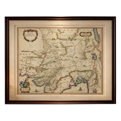
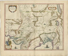
Keywords: India, Mughal Empire, Mogol, Hindustan, Ganges, Indus, Bengal, Persia, Pakistan, Afghanistan, Delhi, Agra, Lahore, Patna, Gujarat, Deccan, Orissa, Bengal delta, Bay of Beng...

Category

Antique Mid-17th Century Dutch Maps

Materials

Paper

Antique Map of Southeast Asia by Larousse, 1897

Antique Map of Southeast Asia by Larousse, 1897

Located in Langweer, NL

"Front: 'Carte Generale des Indes.' (General map of India / The Indies / Thailand / Malaysia).

Category

Antique 19th Century Maps

Materials

Paper

Original Antique Map of Northern India

Original Antique Map of Northern India

Located in Langweer, NL

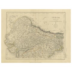
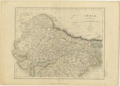
Antique map titled 'India. Northern Part'. Original antique map of Northern India.

Category

Antique Mid-19th Century Maps

Materials

Paper

Original Antique Map of Northern India

Original Antique Map of Northern India

By Jakob van der Schley

Located in Langweer, NL

Original antique map of northern India. This map originates from 'Historische beschryving der reizen, of Nieuwe en volkoome verzameling van de aller-waardigste en zeldsaamste zee- en...

Category

Antique Mid-18th Century Maps

Materials

Paper

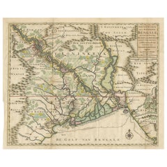
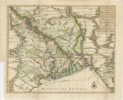
1726 Map of Bengal by Van der Aa after Valentijn – Dutch East Indies

1726 Map of Bengal by Van der Aa after Valentijn – Dutch East Indies

Located in Langweer, NL

Keywords block for your listing: bengal map, van der aa, valentijn map, dutch east india company, voc map, 18th century india map, antique bengal map, orissa map, assam map, tripura ...

Category

Antique Early 18th Century Dutch Maps

Materials

Paper

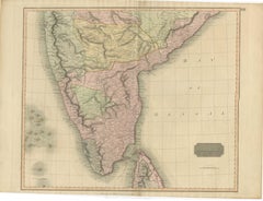
1816 Large Southern Hindostan Map by J. Thomson – New General Atlas

1816 Large Southern Hindostan Map by J. Thomson – New General Atlas

Located in Langweer, NL

This map is an excellent addition for collectors interested in historical maps of India, British colonial geography, or 19th-century cartographic works.

Category

Antique 1810s Maps

Materials

Paper

Large Decorative Colonial-Era Map of South India – Peninsula of India, 1800

Large Decorative Colonial-Era Map of South India – Peninsula of India, 1800

Located in Langweer, NL

Antique Map of South India – “A Map of the Peninsula of India,” London 1800 This large and detailed antique map titled *A Map of the Peninsula of India* was published in London in 1...

Category

Antique Early 19th Century English Maps

Materials

Linen, Paper

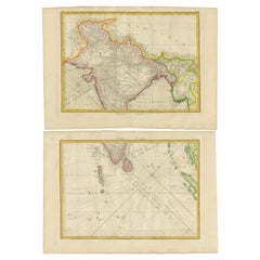
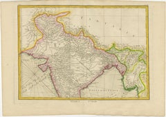
Charting the Course of Empire: Bonne's 1770 Masterpiece Maps of the Indian Ocean

Charting the Course of Empire: Bonne's 1770 Masterpiece Maps of the Indian Ocean

Located in Langweer, NL

More in detail: This is a set of two maps from Rigobert Bonne's 1770 decorative map of India, which were intended for Jean Lattre's Atlas Moderne around 1775.

Category

Antique 1770s Maps

Materials

Paper

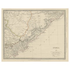
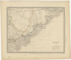
Interesting Detailed Antique Map of Eastern India, 1832

Interesting Detailed Antique Map of Eastern India, 1832

Located in Langweer, NL

Antique map titled 'India IV'. Old steel engraved map of the eastern part of India, including the Bay of Bengal, Hydrabad and Masulipatam.

Category

Antique 19th Century British Maps

Materials

Paper

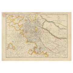
Antique Map of Northwestern India by Weller, 1857

Antique Map of Northwestern India by Weller, 1857

Located in Langweer, NL

Antique map titled 'India, The North West Provinces and Oude'.Detailed map of the northwestern part of India, extending to the Himalaya Mountains.

Category

Antique 19th Century Maps

Materials

Paper

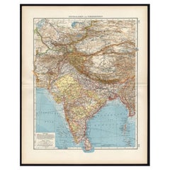
Antique Map of Central Asia and India, 1904

Antique Map of Central Asia and India, 1904

Located in Langweer, NL

Antique map titled 'Zentralasien und Vorderindien'. Map of Central Asia and India.

Category

20th Century Maps

Materials

Paper

Antique Map of Northern India by Johnston, 1882

Antique Map of Northern India by Johnston, 1882

Located in Langweer, NL

Antique map titled 'India (Northern Sheet)'. Old map of Northern India.

Category

Antique 19th Century Maps

Materials

Paper

Antique Map of Northern India by Bonne, 1780

Antique Map of Northern India by Bonne, 1780

Located in Langweer, NL

A fine example of Rigobert Bonne and Guilleme Raynal?s 1780 map of northern India. Covers the northern part of India from Kandahar (Candahar) and Kashmir (Cachemire) south as far as ...

Category

Antique 18th Century Maps

Materials

Paper

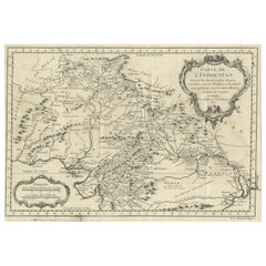
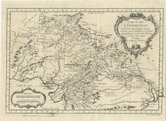
Antique Map of part of India, the Ganges and Hindustan

Antique Map of part of India, the Ganges and Hindustan

Located in Langweer, NL

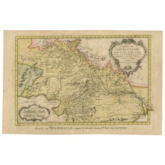
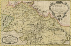
Antique map titled 'Carte de l'Indoustan'. Original antique map of part of India, the Ganges and Hindustan.

Category

Antique Mid-18th Century Maps

Materials

Paper

Antique Map of the Region of Delhi in India, 1833

Antique Map of the Region of Delhi in India, 1833

Located in Langweer, NL

Antique map titled 'India IX'. Old steel engraved map of the region of Delhi, with great detail.

Category

Antique 19th Century Maps

Materials

Paper

Antique Map of the Gulf of Cambay, Gujarat, India, 1725

Antique Map of the Gulf of Cambay, Gujarat, India, 1725

By Pieter Van Der Aa

Located in Langweer, NL

Antique map titled 'Le Golfe de Cambaye at la Rade de Suratt.'

Category

Antique 18th Century Maps

Materials

Paper

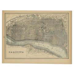
Rare Antique Map of Calcutta 'Kolkata' in India, 1893

Rare Antique Map of Calcutta 'Kolkata' in India, 1893

Located in Langweer, NL

Antique map titled 'Calcutta (India)'. Old map of Calcutta/Kolkata, India.

Category

Antique 19th Century Maps

Materials

Paper

  • 1

Recent Sales

Antique Map of India by Lowry '1852'

Antique Map of India by Lowry '1852'

Sold

H 12.21 in W 9.65 in L 12.21 in

Antique Map of India by Lowry '1852'

Located in Langweer, NL

Antique map titled 'India'. Original map of India. This map originates from 'Lowry's Table Atlas constructed and engraved from the most recent Authorities' by J.W.

Category

Antique Mid-19th Century Maps

Materials

Paper

Antique Map of India by Ptolemaeus '1599'

Antique Map of India by Ptolemaeus '1599'

Sold

H 9.45 in W 13.78 in D 0.02 in

Antique Map of India by Ptolemaeus '1599'

Located in Langweer, NL

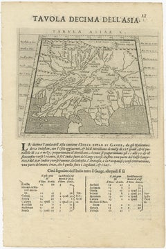
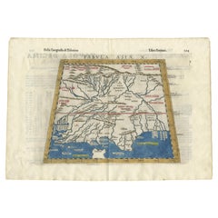
Antique map titled 'Tabula Asiae X'. Uncommon map of India, the map covers the region between the Indus River valley and the Ganges and from the Himalayas.

Category

Antique 16th Century Maps

Materials

Paper

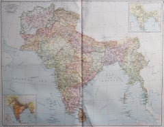
Large Original Vintage Map of India, circa 1920

Large Original Vintage Map of India, circa 1920

Located in St Annes, Lancashire

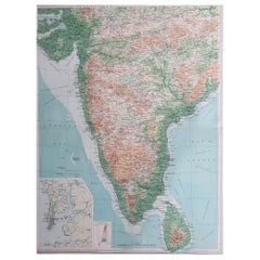
Great map of India Unframed Original color By John Bartholomew and Co.

Category

Vintage 1920s British Maps

Materials

Paper

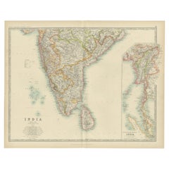
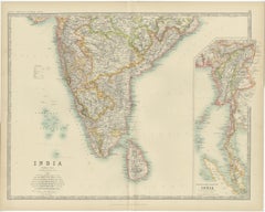
Antique Map of India ( Southern ) by Johnston (1909)

Antique Map of India ( Southern ) by Johnston (1909)

Sold

H 19.49 in W 24.41 in D 0.02 in

Antique Map of India ( Southern ) by Johnston (1909)

Located in Langweer, NL

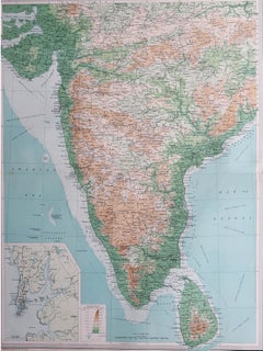
Antique map titled 'India'. Original antique map of India Southern sheet.

Category

Early 20th Century Maps

Materials

Paper

Antique Map of India and Ceylon by Lowry, '1852'

Antique Map of India and Ceylon by Lowry, '1852'

Sold

H 12.21 in W 9.45 in L 12.21 in

Antique Map of India and Ceylon by Lowry, '1852'

Located in Langweer, NL

Original map of India and Ceylon (Sri Lanka). This map originates from 'Lowry's Table Atlas constructed and engraved from the most recent Authorities' by J.W.

Category

Antique Mid-19th Century Maps

Materials

Paper

Antique Map of India, One of the Earliest Modern Maps of the Region, c.1574

Antique Map of India, One of the Earliest Modern Maps of the Region, c.1574

Located in Langweer, NL

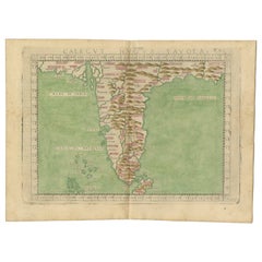
Antique map India titled 'Calecut Nuova Tavola'. Second edition of Ruscelli's modern map of India, one of the earliest obtainable modern maps of the region.

Category

Antique 16th Century Maps

Materials

Paper

Antique Map of the Region of the Bay of Bengal, India, c.1863

Antique Map of the Region of the Bay of Bengal, India, c.1863

By Edward Weller

Located in Langweer, NL

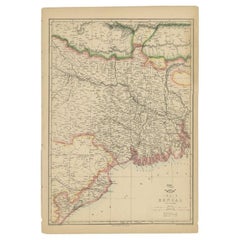
Antique map titled 'India Bengal'. Old map of India depicting the region near the Bay of Bengal.

Category

Antique 19th Century Maps

Materials

Paper

Antique Map of Northern India by Johnston, 1867

Antique Map of Northern India by Johnston, 1867

Sold

H 14.57 in W 18.71 in D 0 in

Antique Map of Northern India by Johnston, 1867

Located in Langweer, NL

Antique map titled 'India (Northern Sheet)'. Depicting Rajputana, Bombay, Nepal and more.

Category

Antique 19th Century English Maps

Materials

Paper

Antique Map of Southern India by Baldaeus, circa 1672

Antique Map of Southern India by Baldaeus, circa 1672

By Philip Baldaeus

Located in Langweer, NL

This beautiful map is considered one of the foremost sources regarding Dutch settlements in southern India.

Category

Antique Late 17th Century Maps

Antique Map of Southern India by Churchill, c.1704

Antique Map of Southern India by Churchill, c.1704

Located in Langweer, NL

Antique map depicting the southern tip of India and part of Ceylon (Sri Lanka).

Category

Antique 18th Century Maps

Materials

Paper

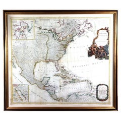
New Map of North America, with the West India Islands

New Map of North America, with the West India Islands

Located in Downingtown, PA

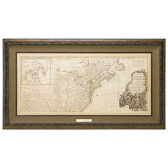
"A New Map of North America, with the West India Islands...according to the latest surveys, and corrected from the original materials, of Goverr.

Category

Antique 1780s Georgian Maps

Materials

Paper

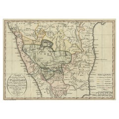
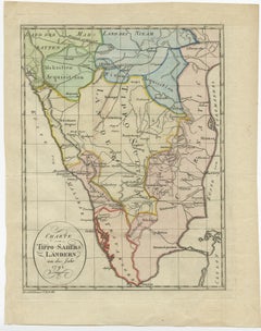
Antique Hand-Colored Map of the Kingdom of Mysore, in India, 1800

Antique Hand-Colored Map of the Kingdom of Mysore, in India, 1800

Located in Langweer, NL

This map depicts the Kingdom of Mysore (India). Tipu Sultan (born Sultan Fateh Ali Sahab Tipu, 20 November 1750 – 4 May 1799), also known as the Tipu Sahib, was a ruler of the Kingdo...

Category

Antique Early 1800s Maps

Materials

Paper

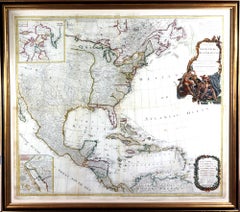
New Map of North America with West India Islands, circa 1794

New Map of North America with West India Islands, circa 1794

Located in Colorado Springs, CO

This beautiful, early wall map of North America was published in London not long after the British finally recognized the colonies as an independent and sovereign Nation. The map de...

Category

Antique 1790s British Maps

Detailed Antique Map of the Region of Gujarat and Mumbai in India, C.1825

Detailed Antique Map of the Region of Gujarat and Mumbai in India, C.1825

Located in Langweer, NL

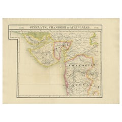
Antique map titled 'No. 93 Guzerate, Chandeish et Aurungabad'. Detailed map of the region of Gujarat and the region of Mumbay. Originates from 'Atlas Universel' by P.M. Vandermaelen....

Category

Antique 19th Century Maps

Materials

Paper

Original Map of Southern India with Kingdom Mysore, Ruled by Tipu Sultan, 1800

Original Map of Southern India with Kingdom Mysore, Ruled by Tipu Sultan, 1800

Located in Langweer, NL

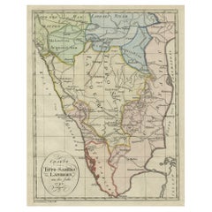
Original antique map of Southern India. Tipu Sultan, also known as the Tipu Sahib, was a ruler of the Kingdom of Mysore.

Category

Antique Early 1800s Maps

Materials

Paper

Map of Northern India from Kandahar and Kashmir South as far as Decan, 1780

Map of Northern India from Kandahar and Kashmir South as far as Decan, 1780

Located in Langweer, NL

A fine example of Rigobert Bonne and Guilleme Raynal’s 1780 map of northern India. Covers the northern part of India from Kandahar (Candahar) and Kashmir (Cachemire) south as far as ...

Category

Antique 1780s Maps

Materials

Paper

Antique Map of the Bay of Bengal by Van Schley '1747'

Antique Map of the Bay of Bengal by Van Schley '1747'

Sold

H 10.04 in W 11.62 in L 10.04 in

Antique Map of the Bay of Bengal by Van Schley '1747'

Located in Langweer, NL

Original antique map of the Bay of Bengal, bounded on the west and northwest by India, on the north by Bangladesh, and on the east by Myanmar and the Andaman and Nicobar Islands of I...

Category

Antique Mid-18th Century Maps

Materials

Paper

Antique Map of the East Indies by Speed '1676'

Antique Map of the East Indies by Speed '1676'

Sold

H 17.33 in W 22.45 in D 0.02 in

Antique Map of the East Indies by Speed '1676'

Located in Langweer, NL

Antique map titled 'A New Map of East India'. John Speed's map of Southeast Asia, China, Taiwan and part of India, which was engraved by Francis Lamb and first appeared in the enlarg...

Category

Antique Mid-17th Century Maps

Materials

Paper

Original Vintage Poster Indian Tea Export Round The World Pictorial Map Design

Original Vintage Poster Indian Tea Export Round The World Pictorial Map Design

Located in London, GB

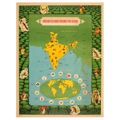
Original vintage poster - Indian Tea Goes Round the Globe Where India Grows Her Tea Export of Indian Tea - featuring a pictorial map of India with the tea growing places marked by na...

Category

Vintage 1950s Indian Posters

Materials

Paper

Antique Map of Goa 'India' by J.N. Bellin, 1760

Antique Map of Goa 'India' by J.N. Bellin, 1760

Sold

H 9.45 in W 13.12 in L 9.45 in

Antique Map of Goa 'India' by J.N. Bellin, 1760

Located in Langweer, NL

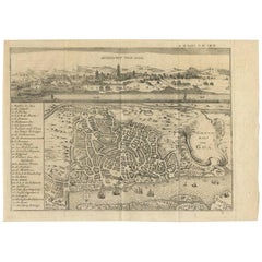
Town plan of Goa that also includes a panorama view. Both views include mountains, trees, buildings, elephants, ships in the harbor, boats resting on the shore, and religious buildin...

Category

Antique Mid-18th Century Prints

Materials

Paper

Antique Map of India by Wyld '1845'

Antique Map of India by Wyld '1845'

Sold

H 14.18 in W 10.24 in D 0.02 in

Antique Map of India by Wyld '1845'

Located in Langweer, NL

Antique map titled 'Map of India'. Original antique map of India.

Category

Antique Mid-19th Century Maps

Materials

Paper

Original Antique Map of India, circa 1820

Original Antique Map of India, circa 1820

Sold

H 12 in W 10 in D 0.07 in

Original Antique Map of India, circa 1820

Located in St Annes, Lancashire

Super map of India Copper plate engraving Published, circa 1820.

Category

Antique 1820s English Other Maps

Materials

Paper

Original Antique Map of India, circa 1850

Original Antique Map of India, circa 1850

Sold

H 13.5 in W 10.75 in D 0.07 in

Original Antique Map of India, circa 1850

Located in St Annes, Lancashire

Super map of India Cartography by William Hughes Published by James Virtue, London, C.1850 Unframed.  

Category

Antique 1850s English Other Maps

Materials

Paper

Original Antique Map of India, Arrowsmith, 1820

Original Antique Map of India, Arrowsmith, 1820

Located in St Annes, Lancashire

Great map of India Drawn under the direction of Arrowsmith Copper-plate engraving Published by Longman, Hurst, Rees, Orme and Brown, 1820 Unframed.

Category

Antique 1820s English Maps

Materials

Paper

Original Antique Map of India. C.1780

Original Antique Map of India. C.1780

Sold

H 8.75 in W 12.5 in D 0.07 in

Original Antique Map of India. C.1780

Located in St Annes, Lancashire

Great map of India Copper-plate engraving Published C.1780 Three small worm holes to right side of map and one bottom left corner Unframed.

Category

Antique Early 1800s English Georgian Maps

Materials

Paper

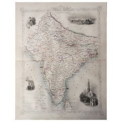
Original Antique Map of India by Tallis, Circa 1850

Original Antique Map of India by Tallis, Circa 1850

Sold

H 13.75 in W 10.75 in D 0.07 in

Original Antique Map of India by Tallis, Circa 1850

Located in St Annes, Lancashire

Great map of India Steel engraving 4 Lovely vignettes in each corner Published by Tallis, C.1850 Original colour Free shipping.

Category

Antique 1850s English Maps

Materials

Paper

Original Antique Map of India by Thomas Clerk, 1817

Original Antique Map of India by Thomas Clerk, 1817

Sold

H 10.25 in W 8.25 in D 0.07 in

Original Antique Map of India by Thomas Clerk, 1817

Located in St Annes, Lancashire

Great map of India Copper-plate engraving Drawn and engraved by Thomas Clerk, Edinburgh.

Category

Antique 1810s English Maps

Materials

Paper

Antique Map of India, c.1850

Antique Map of India, c.1850

Sold

H 9.06 in W 12.6 in D 0 in

Antique Map of India, c.1850

Located in Langweer, NL

Antique map titled 'India'. Old map of India. Also depicting Ceylon, Sri Lanka.

Category

Antique 19th Century Maps

Materials

Paper

Antique Map of India, c.1850

Antique Map of India, c.1850

Sold

H 9.06 in W 12.41 in D 0 in

Antique Map of India, c.1850

Located in Langweer, NL

Antique map titled 'India'. Old map of India. Also depicting Ceylon, Sri Lanka.

Category

Antique 19th Century Maps

Materials

Paper

Antique Map of India, or Hindustan, also showing Sri Lanka

Antique Map of India, or Hindustan, also showing Sri Lanka

Located in Langweer, NL

Antique map titled 'Hindoostan'. Original antique map of India (or Hindustan).

Category

Antique Mid-19th Century Maps

Materials

Paper

Large Original Antique Map of India by Sidney Hall, 1847

Large Original Antique Map of India by Sidney Hall, 1847

Located in St Annes, Lancashire

Great map of India Drawn and engraved by Sidney Hall Steel engraving Original colour outline Published by A & C Black. 1847 Some foxing bottom left corner area Unf...

Category

Antique 1840s Scottish Maps

Materials

Paper

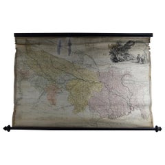
Antique Scroll Map of India by James Rennell, Dated 1786

Antique Scroll Map of India by James Rennell, Dated 1786

Located in St Annes, Lancashire

Wonderful scroll map of India. Fabulous cartouche Showing the course of The Ganges By James Rennell.

Category

Antique 1780s English Georgian Maps

Materials

Wood, Paper

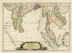
Antique Map of India and Southeast Asia by Sanson, '1654'

Antique Map of India and Southeast Asia by Sanson, '1654'

Located in Langweer, NL

Early map of India and Southeast Asia. The map shows most of modern India, Bangladesh and Burma, the whole of Sri Lanka, Thailand, Malaysia, Laos, Cambodia, and Vietnam, and parts of...

Category

Antique Mid-17th Century Maps

Materials

Paper

Antique Engraved Map of India and Persia, 1825

Antique Engraved Map of India and Persia, 1825

Located in Langweer, NL

Antique map titled 'India et Persia'. Old map of India and Persia originating from 'Atlas der Oude Wereld'.

Category

Antique 19th Century Maps

Materials

Paper

Antique Map of India by G. Ruscelli '1561'

Antique Map of India by G. Ruscelli '1561'

Sold

H 9.06 in W 12.01 in D 0.02 in

Antique Map of India by G. Ruscelli '1561'

Located in Langweer, NL

Antique map titled 'India Tercera Nuova Tavola'. Ruscelli's map is one of the earliest modern maps of Southeast Asia.

Category

Antique 16th Century Maps

Materials

Paper

Antique Map of India during the Height of the Mughal Imperial Expansion, 1713

Antique Map of India during the Height of the Mughal Imperial Expansion, 1713

Located in Langweer, NL

Antique map titled 'L'Inde de ca le Gange'. Antique map of India, made during the height of the Mughal Imperial expansion.

Category

Antique 18th Century Maps

Materials

Paper

Antique Map of India by A.K. Johnston, 1865

Antique Map of India by A.K. Johnston, 1865

Sold

H 19.1 in W 24.41 in D 0.02 in

Antique Map of India by A.K. Johnston, 1865

Located in Langweer, NL

Antique map titled 'India (Southern Sheet)'. Depicting Southern India, Ceylon (or Sri Lanka) and more.

Category

Antique Mid-19th Century Maps

Materials

Paper

Antique Map of India 'North' by A.K. Johnston, 1865

Antique Map of India 'North' by A.K. Johnston, 1865

Sold

H 19.1 in W 24.41 in D 0.02 in

Antique Map of India 'North' by A.K. Johnston, 1865

Located in Langweer, NL

Antique map titled 'India (Northern Sheet)'. Depicting Rajputana, Bombay, Nepal and more.

Category

Antique Mid-19th Century Maps

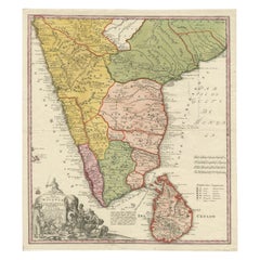
Antique Map of India and Ceylon by Homann Heirs '1733'

Antique Map of India and Ceylon by Homann Heirs '1733'

Located in Langweer, NL

Cum Adjacente Insula non Minus Celebratissima Ceylon'. Original antique map of the southern part of India and Sri Lanka (Ceylon), with colonial possessions and trading posts delineat...

Category

Antique Mid-18th Century Maps

Materials

Paper

Antique Map of India during the height of the Mughal Imperial Expansion, 1713

Antique Map of India during the height of the Mughal Imperial Expansion, 1713

Located in Langweer, NL

Antique map titled 'L'Inde de ca le Gange (..)'. Beautiful original antique map embracing most of India, made during the height of the Mughal imperial expansion.

Category

Antique Early 18th Century Maps

Materials

Paper

Antique Map of the Mongol Empire, 1767

Antique Map of the Mongol Empire, 1767

Sold

H 11.03 in W 8.67 in D 0 in

Antique Map of the Mongol Empire, 1767

Located in Langweer, NL

Old map of India, Bangladesh, and parts of eastern China.

Category

Antique 18th Century Maps

Materials

Paper

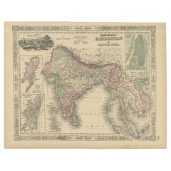
Hindostan or British India Map – Johnson, Hand-Colored USA c.1864

Hindostan or British India Map – Johnson, Hand-Colored USA c.1864

Located in Langweer, NL

Johnson’s Hindostan or British India Map, USA c.1864 – Hand-Colored This is a finely engraved and hand-colored map titled Johnson’s Hindostan or British India, published by Johnson ...

Category

Antique Mid-19th Century American Maps

Materials

Paper

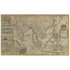
Antique Map of the East Indies by Moll 'circa 1726'

Antique Map of the East Indies by Moll 'circa 1726'

Sold

H 24.41 in W 40.56 in D 0.02 in

Antique Map of the East Indies by Moll 'circa 1726'

Located in Langweer, NL

Large format map of India and Southeast Asia, including China and the Philippines, one of the most decorative and sought after maps of the region published in the 18th century and th...

Category

Antique Mid-18th Century Maps

Materials

Paper

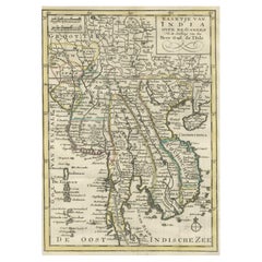
Authentic Old Map of Vietnam, Thailand, Cambodia and Myanmar, Hainan, etc., 1745

Authentic Old Map of Vietnam, Thailand, Cambodia and Myanmar, Hainan, etc., 1745

Located in Langweer, NL

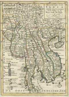
The phrase "Kaartje van India over de Ganges Na de stelling van de G. de L'Isle" translates to "Map of India over the Ganges based on the work of G. de L'Isle."

Category

Antique 1740s Maps

Materials

Paper

Original Antique Map of the Himalayas, India. 1889

Original Antique Map of the Himalayas, India. 1889

Located in St Annes, Lancashire

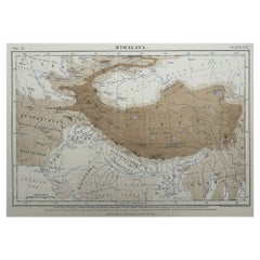
Great map of The Himalayas Drawn and Engraved by W. & A.K. Johnston Published By A & C Black, Edinburgh. Original colour Unframed.

Category

Antique 1880s Scottish Victorian Maps

Materials

Paper

Antique Map of Southeast Asia, China, Philippines and India

Antique Map of Southeast Asia, China, Philippines and India

Located in Langweer, NL

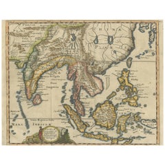
Decorative map of Southeast Asia, China, Philippines, and India.

Category

Antique Early 18th Century Maps

Materials

Paper

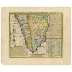
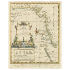
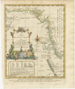
Original Antique Map of Malabar, Coromandel 'India' and Ceylon

Original Antique Map of Malabar, Coromandel 'India' and Ceylon

Located in Langweer, NL

An explanation of the map includes notations of various flags of England, Denmark, France, Holland and Portugal along the coast, delineating the various European trading posts along ...

Category

Antique Mid-18th Century Maps

Materials

Paper

Antique Map of Southern India by H. Chatelain, 1719

Antique Map of Southern India by H. Chatelain, 1719

Sold

H 19.1 in W 22.84 in D 0.02 in

Antique Map of Southern India by H. Chatelain, 1719

By Henri-Abraham Chatelain

Located in Langweer, NL

This map shows from Goa and Nelour to the southern tip of India in exceptional detail.

Category

Antique Early 18th Century Maps

Rare Antique Map of the Kingdom of Gujarat, India, C.1725

Rare Antique Map of the Kingdom of Gujarat, India, C.1725

By Pieter Van Der Aa

Located in Langweer, NL

I.B. de Lavanha beschreven. - Le Royaume de Guzarate avec te Golfe de Cambaya (..).' Map of the Kingdom of Gujarat in West-India with the Street of Cambaya according to methods of ...

Category

Antique 18th Century Maps

Materials

Paper

Antique Map of Southern India by J. Tallis, circa 1851

Antique Map of Southern India by J. Tallis, circa 1851

Located in Langweer, NL

A highly decorative and detailed mid-19th century map of Southern India which was drawn and engraved by J.

Category

Antique Mid-19th Century Maps

1808 C. Smith Map of Hindoostan – British India with Intricate Details

1808 C. Smith Map of Hindoostan – British India with Intricate Details

Located in Langweer, NL

Title: 1808 C. Smith Map of Hindoostan – British India with Intricate Details This map, titled "Hindoostan," was published by C.

Category

Antique Early 1800s Maps

Materials

Paper

Superb, Large Map of British India, Chinese Empire, Indochina, Malaysia, 1860

Superb, Large Map of British India, Chinese Empire, Indochina, Malaysia, 1860

Located in Langweer, NL

A superb, large-scale map of British India, the Chinese Empire, Indochina, the Malay Peninsula, and parts of Sumatra and Borneo.

Category

Antique 1860s Maps

Materials

Paper

Get Updated with New Arrivals
Save "Map Of India", and we’ll notify you when there are new listings in this category.

Map Of India For Sale on 1stDibs

Choose from an assortment of styles, material and more with respect to the map of india you’re looking for at 1stDibs. A map of india — often made from paper, wood and glass — can elevate any home. Whether you’re looking for an older or newer map of india, there are earlier versions available from the 18th Century and newer variations made as recently as the 19th Century. A map of india made by Georgian designers — as well as those associated with Victorian — is very popular. A well-made map of india has long been a part of the offerings for many furniture designers and manufacturers, but those produced by Henri-Abraham Chatelain and Philip Baldaeus are consistently popular.

Finding the Right Collectibles-curiosities for You

Antique and vintage collectibles and curiosities can bring whimsy and wonder to any interior. 

Decorating with old scientific instruments, historical memorabilia and vintage musical instruments, as well as other authentic collectibles and curiosities that can be found on 1stDibs, presents an opportunity to create a unique, natural history museum-like atmosphere in your home that can provoke conversation as often as it pays tribute to how far we’ve come in understanding our world. 

And bringing collectibles and curiosities into your space is actually on trend — Wunderkammern, or curiosity cabinets, were all the rage in Europe during the 1500s and continued to have adherents there and in the U.S. in the following centuries. Today, however, they’re experiencing a real surge in popularity and influencing how many interior designers are furnishing and decorating homes — combining contemporary with antique, scientific with tribal, earthly with extraterrestrial, Les Lalanne tables with Flemish tapestries.

The original Wunderkammern were entire rooms filled with objects demonstrating their owners’ worldly knowledge: A proper one included artificiala or preciosa (objets d’art); naturalia (such as skeletons, shells, minerals); exotica (taxidermy or dried plants); and scientifica (scientific instruments), frequently alongside religious relics and ancient artifacts.

Pay tribute to a history of rich and diverse musical traditions that have taken shape all over the world by decorating your home with a collection of antique and vintage musical instruments — with a little help from strong hanging wire or some wall hooks, vintage brass instruments such as a gong, French horn or trumpet can help elevate a home office or complement the efforts you’ve made to ensure a welcoming vibe in your home’s entryway. Bells or antique wind instruments can add provocative metallic contrasts to dark woods as tabletop decorative objects.  

Create an intriguing focal point with Georgian scientific instruments, such as stick barometers with mahogany cases or lacquered brass telescopes. These items stem from an era named for the monarchies of the four King Georges, who ruled England in succession starting in 1714 (plus King William’s reign, which lasted until 1837). Just as there was beautiful jewelry produced during the period that today is coveted by collectors, there is much to be found in the collectibles and curiosities realm too.

Wanderlust, nostalgia and a shared love of good design are contributing factors to certain trends in decorating — just as vintage trunks and luggage have reappeared as furniture or home accents in a bedroom or foyer, decorating with globes, maps or nautical objects is similarly rooted in the allure of travel and a penchant for the stylish finishing touch that collectibles bring to our homes.

Find a wide range of antique and vintage collectibles and curiosities on 1stDibs.
Read More