Items Similar to Original Antique Map of the Peninsula of India with Part of Ceylon by Wyld, 1844

Want more images or videos?
Request additional images or videos from the seller
1 of 6
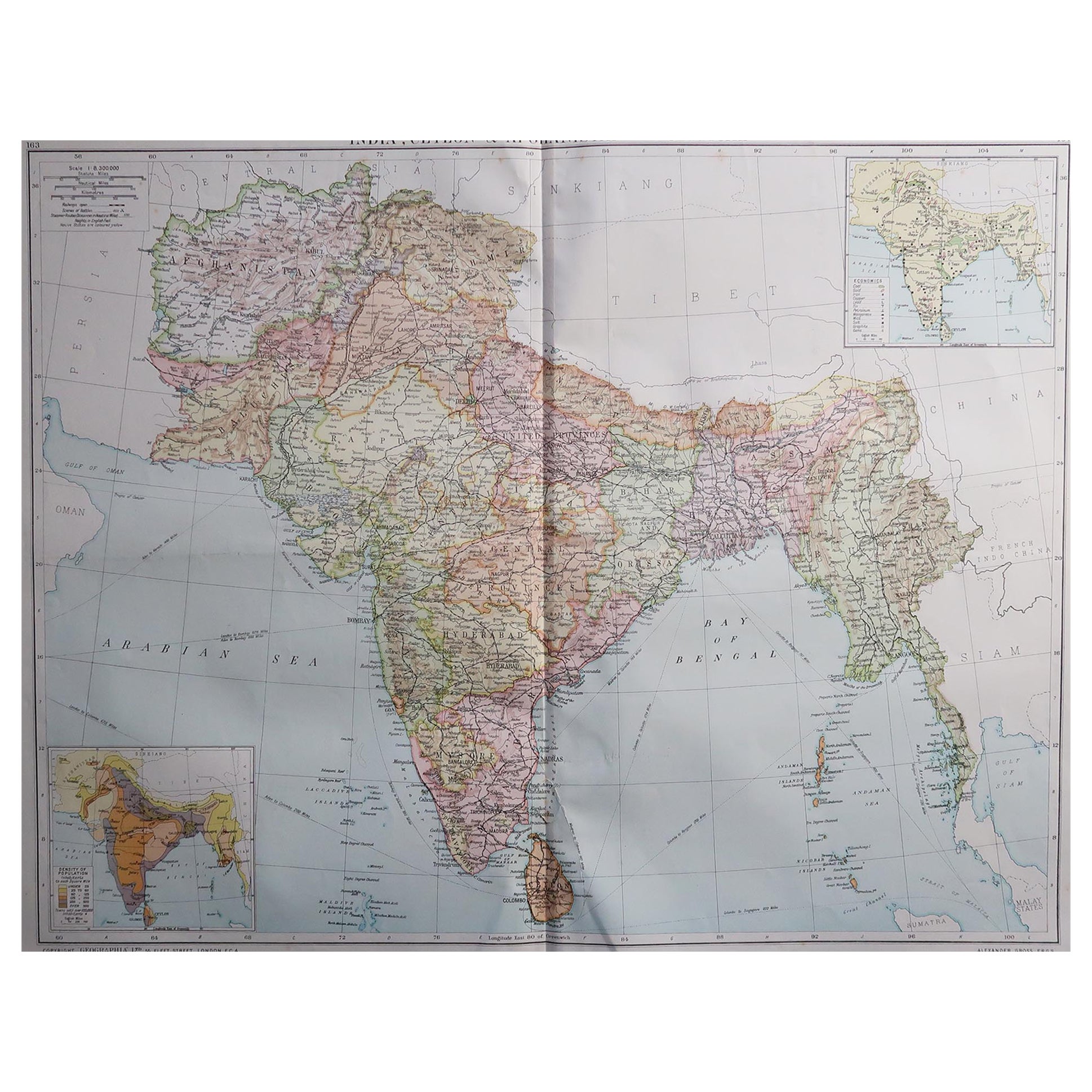
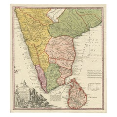
Original Antique Map of the Peninsula of India with Part of Ceylon by Wyld, 1844
About the Item
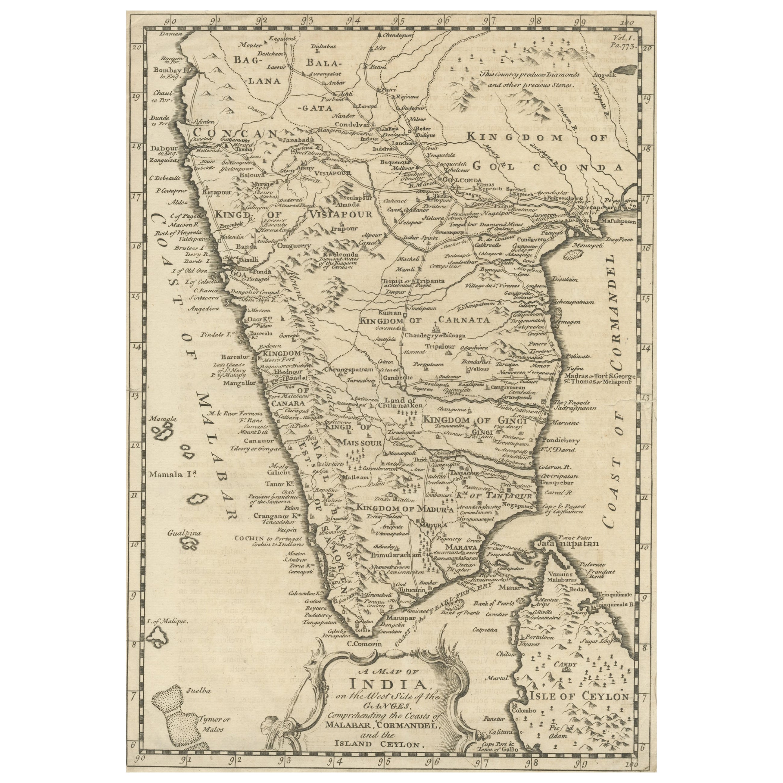
This extensive map of India, spanning two sheets, draws from Reynell’s original map and incorporates data provided by Sir Archibald Campbell, as well as surveys conducted by Colonel Pringle and Colonel Allan. It features a comprehensive list of European colonial settlements and an accompanying key that clarifies the map's color-coded details.
The map, created by James Wyld, depicts the Peninsula of India from the 19th degree of North Latitude to Cape Comorin. It's a significant representation of India and part of Ceylon (now Sri Lanka) in the lower right corner, printed on two large sheets.
**Title:** Map of the Peninsula of India
**Cartographer:** James Wyld
**Description:** Large two-sheet map of India with part of Ceylon in the lower right
**Technique:** Engraving with some outline hand-coloring
**Dimensions:** Each sheet approximately 590 x 850 mm
This map, printed across two sizable sheets but joined together on one linen backing, offers extensive coverage of the Indian Peninsula, ranging from the 19th degree of North Latitude to Cape Comorin. Wyld's cartographic work is notable for its precision and detail, presenting a comprehensive view of the geographical features, boundaries, and topography of the region.
The use of engraving techniques allows for intricate lines and fine details, while the outline hand-coloring likely helps distinguish various geographical elements, such as borders, coastlines, rivers, and important settlements.
Given the map's dimensions and the coverage it provides, it serves as an essential reference for understanding the geographical layout and significant features of the Indian Peninsula during the period it was created.
Wyld's maps are often prized for their accuracy and clarity, making them valuable resources for historical and geographical research. This particular map, spanning two sheets and showcasing India and part of Ceylon, is a significant cartographic piece offering insights into the geographical understanding of the region during the time of its creation.
Platemarks approx. 510 x 835 mm. (20 x 32 7/8 in), each sheet approx. 590 x 850 mm. (23 1/4 x 33 1/2 in), 1844.
James Hope Wyld, born in 1812, was a highly respected British mapmaker renowned for his dedication to producing maps featuring the most current and recently acquired information. Initially educated at Woolwich with intentions to join the army, Wyld changed course at 18 and joined his father, James Wyld the elder, in their esteemed map publishing enterprise. Following his father's footsteps, he gained considerable esteem, earning 17 European orders of merit throughout his lifetime.
Wyld demonstrated remarkable business acumen and upon his father's passing in 1836, he assumed sole proprietorship of the business. His contributions to cartography earned him recognition, leading to his election as a fellow of the Royal Geographical Society in 1839. Additionally, he was appointed Royal Geographer to Queen Victoria and Prince Albert, a prestigious position previously held by his father.
Famous for his prolific and current mapmaking, Wyld was humorously praised by the satirical newspaper Punch in 1849 for his ability to foresee beyond others. The publication jokingly suggested that if a new country were discovered in the center of the earth, Wyld would swiftly create a "Grand Map of that delightful spot, the Centre of the Earth" for potential emigrants. This jest was inspired by Wyld's ambitious project, "Wyld's Great Globe," an immense spherical hall resembling a globe, allowing visitors a unique inside-out view of the world. This attraction, situated in London's Leicester Square, attracted substantial crowds, second only to the Great Exhibition in visitor numbers.
Simultaneously managing this attraction, Wyld served as a Whig Member of Parliament for the Bodmin seat during two periods (1847-1852 and 1857-1868). His diverse roles and significant contributions to both cartography and public service marked a distinguished career. He passed away in 1887 in Kensington, after which his son, James John Cooper Wyld, assumed control of the family business, continuing the legacy of cartographic excellence.
- Dimensions:Height: 33.47 in (85 cm)Width: 23.23 in (59 cm)Depth: 0 in (0.02 mm)
- Materials and Techniques:
- Period:
- Date of Manufacture:1844
- Condition:Minor surface dirt, the northern section sheet with small split to central vertical fold. Overall a large impressive map backed on linnen and ready to be framed. Please study the image carefully. Folded, easy to ship.
- Seller Location:Langweer, NL
- Reference Number:Seller: BG-132601stDibs: LU3054337498142
About the Seller
5.0
Platinum Seller
These expertly vetted sellers are 1stDibs' most experienced sellers and are rated highest by our customers.
Established in 2009
1stDibs seller since 2017
1,929 sales on 1stDibs
Typical response time: <1 hour
- ShippingRetrieving quote...Ships From: Langweer, Netherlands
- Return PolicyA return for this item may be initiated within 14 days of delivery.
Auctions on 1stDibs
Our timed auctions are an opportunity to bid on extraordinary design. We do not charge a Buyer's Premium and shipping is facilitated by 1stDibs and/or the seller. Plus, all auction purchases are covered by our comprehensive Buyer Protection. Learn More
More From This SellerView All
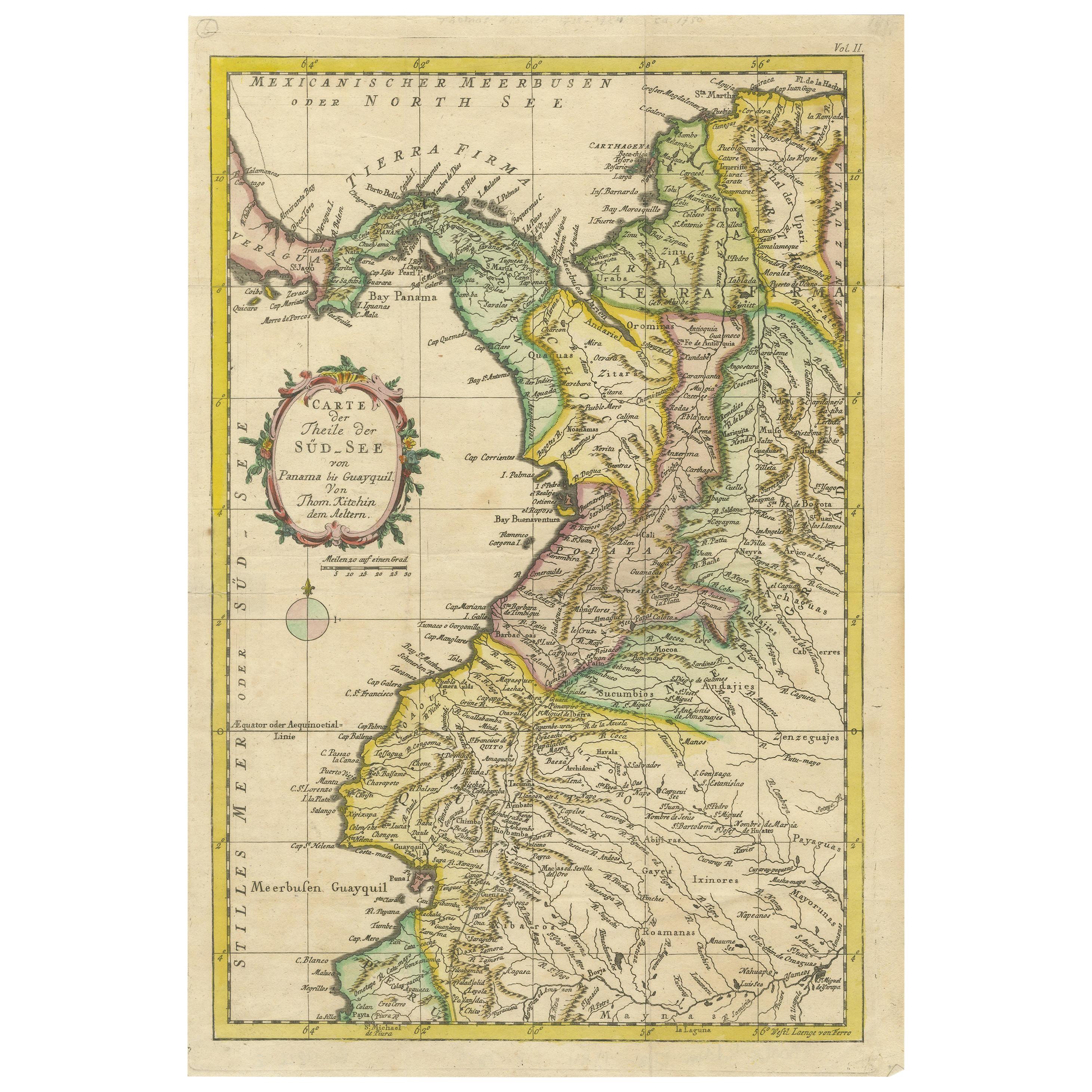
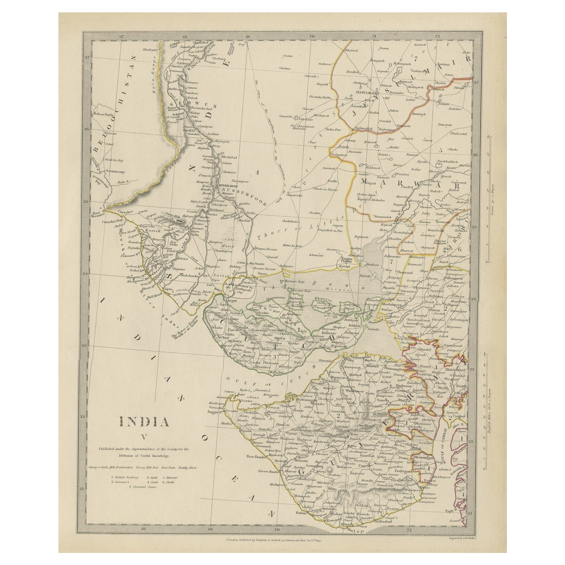
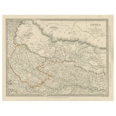
- Original Antique Map of Part of the Bahar Region (India), 1834Located in Langweer, NLAntique map titled 'India X'. Old steel engraved map of part of the Bahar region, it also shows part of Nepal. Artists and Engravers: Engraved by J. & C. Walker. Published under th...Category
Antique 19th Century Maps
MaterialsPaper
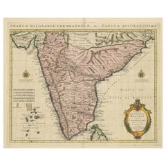
- Original Hand-colored Antique Map of the Southern Part of IndiaLocated in Langweer, NLAntique map titled 'Orarum Malabariae, Coromandelae &c Tabula Accuratissima - Carte des Cotes de Malabar et de Coromandel'. Beautiful map of the southern part of India. It focuses on...Category
Antique Early 18th Century Maps
MaterialsPaper
- Antique Map of India and Ceylon, along with the MaldivesLocated in Langweer, NLAntique map titled 'Stato del Mogol con l'Isole di Ceilan e Maldive'. Beautiful map of India and Ceylon, along with the Maldives. Includes a large decorative title cartouche. The map...Category
Antique Late 18th Century Maps
MaterialsPaper
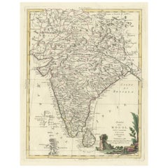
- Original Antique Map of Malabar, Coromandel 'India' and CeylonLocated in Langweer, NLAntique map titled 'Peninsula Indiae citra Gangem, hoc est Orae celeberrimae Malabar & Coromandel (..)'. Large and attractive original hand colored map of Sri Lanka and the Southern ...Category
Antique Mid-18th Century Maps
MaterialsPaper
- Antique Map of part of India, the Ganges and HindustanLocated in Langweer, NLAntique map titled 'Carte de l'Indoustan'. Original antique map of part of India, the Ganges and Hindustan. This map originates from 'Histoire Generale Des Voyages' by Antoine Franco...Category
Antique Mid-18th Century Maps
MaterialsPaper
- Antique Map of the East Indies by Wyld '1845'Located in Langweer, NLAntique map titled 'Archipelago of the Indian Ocean'. Original antique map of the East Indies. This map originates from 'An Atlas of the World, Comprehending Separate Maps of its Var...Category
Antique Mid-19th Century Maps
MaterialsPaper

You May Also Like
- 1844 Map "Russia in Eurpoe, Part II to Part VIII", 7 Maps Ric.r023Located in Norton, MA1844 Map "Russia in Eurpoe, Part II to Part VIII" 7 Maps Ric.r023 Fine, original, steel-engraved Map of Russia in Europe Part II t oPart VIII, by the Society for the Diffusion of Useful Knowledge. Detailed map of the regions to the northeast of Moscow. Including Arkhangel, Vologda, Viatka, Perm, Olonetz, Iaroslavl. The SDUK began its map publishing project under the leadership of Captain Francis Beaufort R.N. in 1829, and published the maps in parts, haltingly, over the next 15 years, completing the series in 1844, finally permitting the publication of a whole atlas. Many of the maps were actually drawn by Beaufort, who at the time was the Hydrographer to the Royal Navy, and all were closely supervised by him. J. & C. Walker worked closely with Beaufort in engraving the maps. Finely engraved, carefully researched, the maps set...Category
Antique 19th Century Unknown Maps
MaterialsPaper
- 1840 "New Map of the City of New York With Part of Brooklyn & Williamsburg"Located in Colorado Springs, COPresented is a hand-colored, engraved folding map titled "New Map of the City of New York With Part of Brooklyn & Williamsburg" by J. Calvin Smith. The map was issued bound in the bo...Category
Antique 1840s American Maps
MaterialsPaper
- 1861 Topographical Map of the District of Columbia, by Boschke, Antique MapLocated in Colorado Springs, COPresented is an original map of Albert Boschke's extremely sought-after "Topographical Map of the District of Columbia Surveyed in the Years 1856 ...Category
Antique 1860s American Historical Memorabilia
MaterialsPaper
- Map of the Kingdom of Sardinia and Part of the Kingdom of Genoa, RomeBy Giovanni Maria CassiniLocated in Hamilton, Ontario18th century map by Italian engraver Giovanni Maria Cassini (Italy 1745-1824). Map of Part of the Kingdom of Sardinia and Part of the Kingdom of Genoa: Rome. This is a hand colored a...Category
Antique 18th Century Italian Maps
MaterialsPaper
- Antique French Map of Asia Including China Indoneseia India, 1783Located in Amsterdam, Noord HollandVery nice map of Asia. 1783 Dedie au Roy. Additional information: Country of Manufacturing: Europe Period: 18th century Qing (1661 - 1912) Condition: Overall Condition B (Good Used)...Category
Antique 18th Century European Maps
MaterialsPaper
- Antique 1803 Italian Map of Asia Including China Indoneseia IndiaLocated in Amsterdam, Noord HollandAntique 1803 Italian Map of Asia Including China Indoneseia India Very nice map of Asia. 1803. Additional information: Type: Map Country of Manufacturing: Europe Period: 19th centu...Category
Antique 19th Century European Maps
MaterialsPaper


Recently Viewed
View AllMore Ways To Browse
Antique Compass France
John Speed Isle Of Wight Maps
Compass France
Isle Of Wight Maps
Old French Map
Ancient Map Of Israel
John Tallis Map
Austria Hungary Map
Kiribati Islands Map
Map Of Kiribati Islands
Montana Maps
Oman Map
Palliser Furniture
Barbados Map
Map Of Barbados
Britton And Rey Lithograph
Christoph Weigel On Sale
Clivia Ducatus Et Ravestein Dominium