Items Similar to Map of Choromandel & Malabar, Incl Kerala, Tamil Nadu & Part of Sri Lanka, 1726

Want more images or videos?
Request additional images or videos from the seller
1 of 6
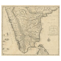
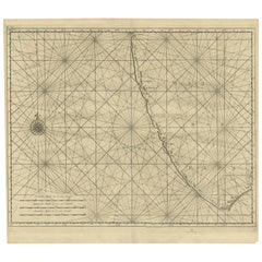
Map of Choromandel & Malabar, Incl Kerala, Tamil Nadu & Part of Sri Lanka, 1726
About the Item
Antique map titled 'Nieuwe kaart van Choromandel ende Malabar.'
Original antique map of Southern India documenting the VOC's areas of influence. Included is Kerala, Tamil Nadu and the northern edge of Sri Lanka. This map originates from 'Oud en Nieuw Oost-Indiën (..)' by François Valentyn / Valentijn, published in 1724-1726.
Artists and Engravers: The author François Valentijn (1666-1727), was a Dutch missionary, worked at Amboina from 1684 to 1694 and 1705 to 1713 and traveled extensively in the VOC's lands.
- Dimensions:Height: 21.66 in (55 cm)Width: 24.81 in (63 cm)Depth: 0 in (0.02 mm)
- Materials and Techniques:Paper,Engraved
- Period:1720-1729
- Date of Manufacture:1726
- Condition:Repaired: One tear in a fold, with old restoration. Condition: Good, given age. Original folds as issued. General age-related toning and/or occasional minor defects from handling. Please study image carefully.
- Seller Location:Langweer, NL
- Reference Number:Seller: PCT-51158 1stDibs: LU3054327343892
About the Seller
5.0
Platinum Seller
These expertly vetted sellers are 1stDibs' most experienced sellers and are rated highest by our customers.
Established in 2009
1stDibs seller since 2017
1,922 sales on 1stDibs
Typical response time: <1 hour
- ShippingRetrieving quote...Ships From: Langweer, Netherlands
- Return PolicyA return for this item may be initiated within 14 days of delivery.
Auctions on 1stDibs
Our timed auctions are an opportunity to bid on extraordinary design. We do not charge a Buyer's Premium and shipping is facilitated by 1stDibs and/or the seller. Plus, all auction purchases are covered by our comprehensive Buyer Protection. Learn More
More From This SellerView All
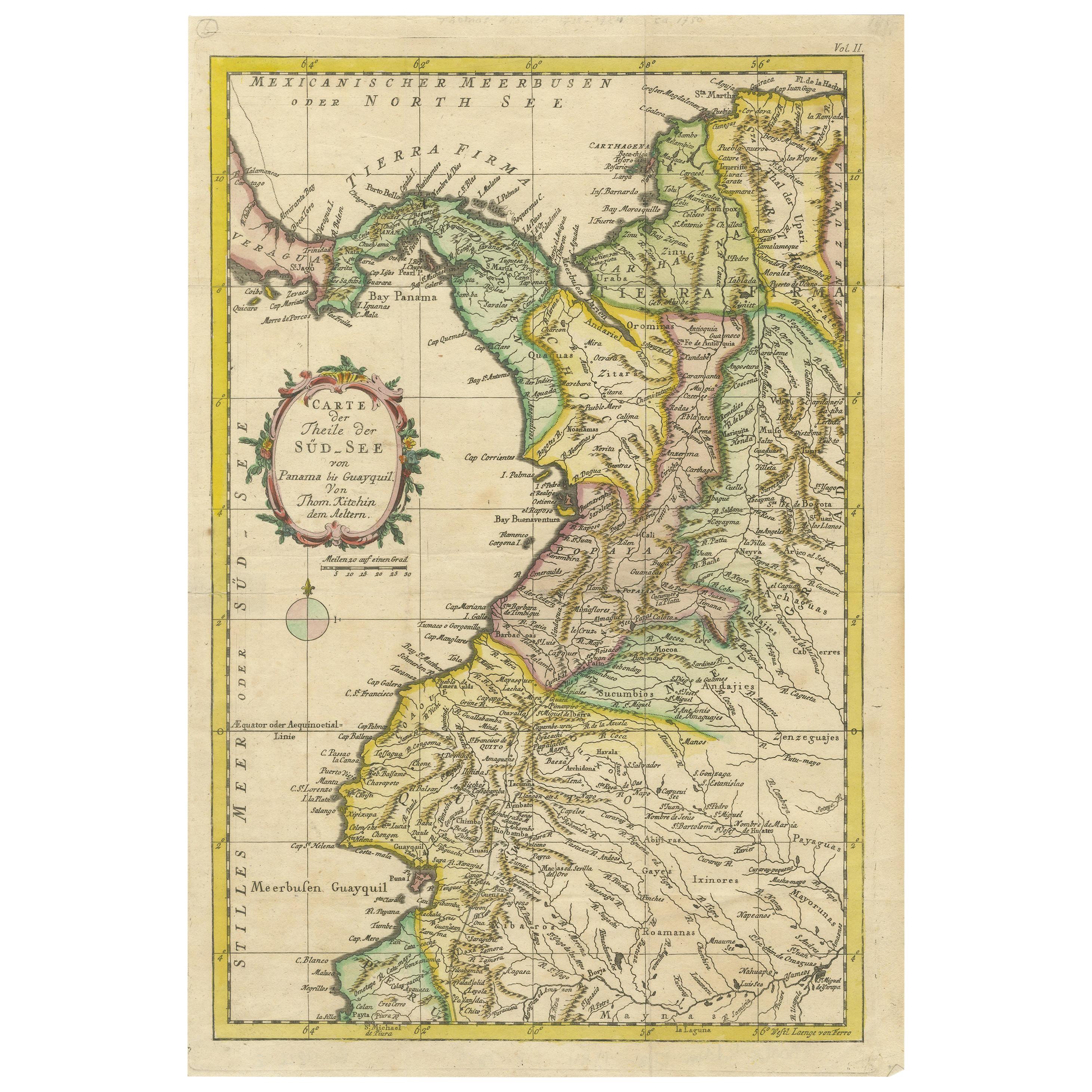
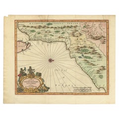
- Old Original Map of Chormandel & Malabar, India & Ceylon, Now Sri Lanka, 1726Located in Langweer, NLAntique map titled 'Nieuwe Kaart van Choromandel ende Malabar'. Antique map depicting the southern part of India and the northern tip of Ceylon, Sri Lanka. This map originates from...Category
Antique 1720s Maps
MaterialsPaper
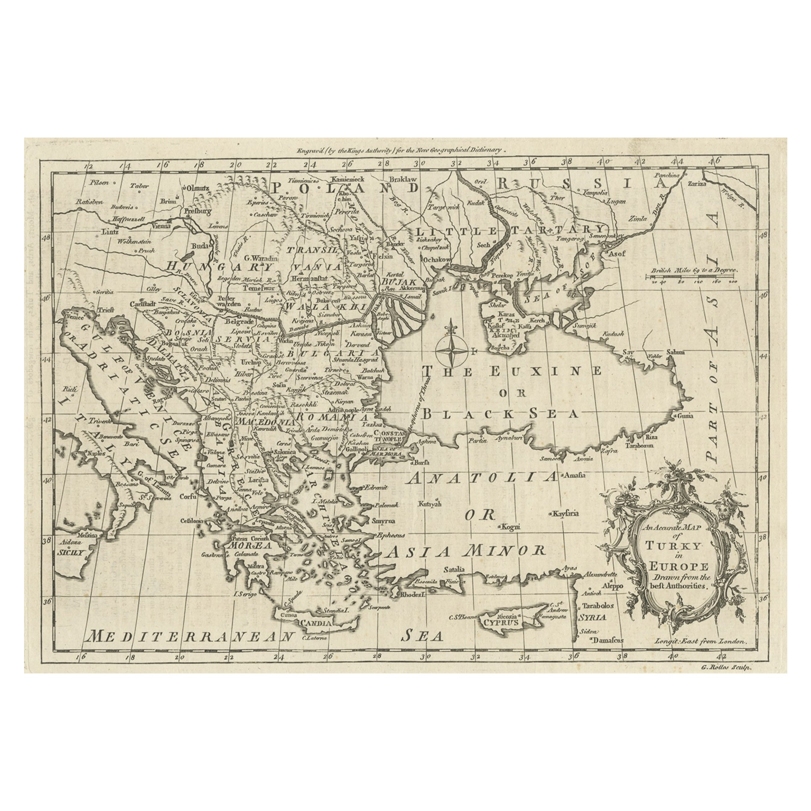
- Antique Map of Choromandel, Golconda and Orixa, Malabar, India, 1744By Philip BaldaeusLocated in Langweer, NLAntique map titled 'Regionum Choromandel, Golconda (..).' Handsome map of Choromandel, Golconda and Orixa, published in 'The True and Exact Description of the Most Celebrated East - ...Category
Antique 18th Century Maps
MaterialsPaper
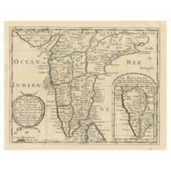
- Original Antique Map showing Southern India, Northern Sri Lanka & Malabar, 1652Located in Langweer, NLAntique map titled 'Presqu'Isle de l'Inde deca le Gange (..)'. Old map showing the southern part of India, including the northern part of Sri Lanka. With inset map of Southern India (Malabar). This map covers the subcontinent from the Bay of Bengal and the Gulf of Cambay to Ceylon. The Mogul Empire can be found in the north. Further south...Category
Antique 1650s Maps
MaterialsPaper
- Antique Map of Malabar Coast by Valentijn, 1726By F. ValentijnLocated in Langweer, NLUntitled sea chart of the coast of Malabar, India. This print originates from 'Oud en Nieuw Oost-Indiën' by F. Valentijn.Category
Antique Early 18th Century Dutch Maps
MaterialsPaper
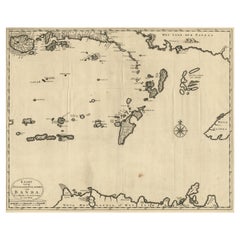
- Map of the Southeastern Part of the Banda Islands, Incl Northern Australia, 1726Located in Langweer, NLAntique map titled 'Kaart van de Zuyd-Ooster Eylanden van Banda.' Map of the southeastern part of the Banda islands. This map originates from 'Oud en Nieuw Oost-Indiën' by Franço...Category
Antique 1720s Maps
MaterialsPaper
- Old Map of Southern India and Ceylon 'Sri Lanka', 1882Located in Langweer, NLAntique map titled 'India (Southern Sheet)'. Old map of Southern India and Ceylon (Sri Lanka). With an inset map of the South-Eastern Provinces of India. This map originates from...Category
Antique 1880s Maps
MaterialsPaper

You May Also Like
- Map of the Republic of GenoaLocated in New York, NYFramed antique hand-coloured map of the Republic of Genoa including the duchies of Mantua, Modena, and Parma. Europe, late 18th century. Dimension: 25...Category
Antique Late 18th Century European Maps
- Antique Map of Principality of MonacoBy Antonio Vallardi EditoreLocated in Alessandria, PiemonteST/619 - "Old Geographical Atlas of Italy - Topographic map of ex-Principality of Monaco" - ediz Vallardi - Milano - A somewhat special edition ---Category
Antique Late 19th Century Italian Other Prints
MaterialsPaper
- Old Nautical Map of CorsicaLocated in Alessandria, PiemonteST/556/1 - Old map of Corsica isle, surveyed by Captain Hell, of the French Royal Navy in 1824, engraved and published on 1874, with additions and corre...Category
Antique Early 19th Century English Other Prints
MaterialsPaper
- Old Horizontal Map of EnglandBy TassoLocated in Alessandria, PiemonteST/520 - Old rare Italian map of England, dated 1826-1827 - by Girolamo Tasso, editor in Venise, for the atlas of M.r Le-Sage.Category
Antique Early 19th Century Italian Other Prints
MaterialsPaper
- Map "Estuary- Mouth of the Thames"Located in Alessandria, PiemonteST/426 - Antique French Map of the estuary of the Thames, map dated 1769 - "Mape of the entrance of the Thames. Designed by filing of Navy cards fo...Category
Antique Mid-18th Century French Other Prints
MaterialsPaper
- Large Antique 1859 Map of North AmericaLocated in Sag Harbor, NYThis Map was made by Augustus Mitchell in 1859 It is in amazing condition for being 163 years old. This price is for the rolled up easy to ship version of this piece. I will be Frami...Category
Antique Mid-19th Century American Maps
MaterialsCanvas, Paper


