Magellan Map

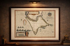
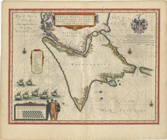
Blaeu Strait of Magellan Map – Tierra del Fuego, Decorative Sea Chart, 1642

Blaeu Strait of Magellan Map – Tierra del Fuego, Decorative Sea Chart, 1642

Located in Langweer, NL

Blaeu Strait of Magellan Map – Tierra del Fuego, Decorative Sea Chart 1642 A highly important and visually captivating map of the Strait of Magellan and Tierra del Fuego, published ...

Category

Antique Mid-17th Century Dutch Maps

Materials

Paper

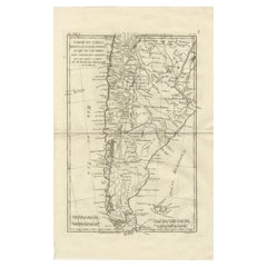
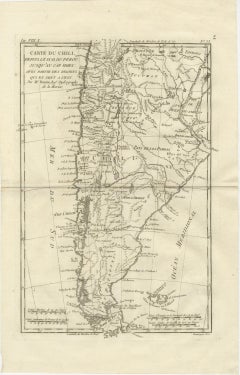
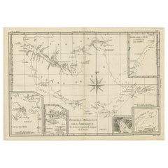
Chile from Peru to Cape Horn – Enlightenment Map by Rigobert Bonne, c.1780

Chile from Peru to Cape Horn – Enlightenment Map by Rigobert Bonne, c.1780

Located in Langweer, NL

SEO keywords: Chile antique map, Carte du Chili map, Cape Horn antique map, Patagonia map, Tierra del Fuego map, Strait of Magellan map, Andes Mountains antique map, Pacific Coast So...

Category

Antique Late 18th Century French Maps

Materials

Paper

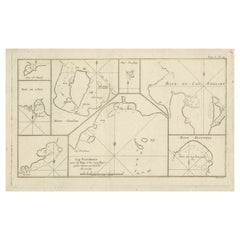
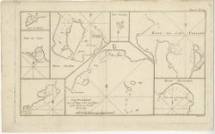
Antique Map of Cape Providence & St. David’s Cove – Strait of Magellan, 1774

Antique Map of Cape Providence & St. David’s Cove – Strait of Magellan, 1774

Located in Langweer, NL

Antique Map of Cape Providence & St. David’s Cove – Strait of Magellan, 1774 Antique engraved nautical map depicting a series of detailed coastal charts along the shores of southern...

Category

Antique Late 18th Century Maps

Materials

Paper

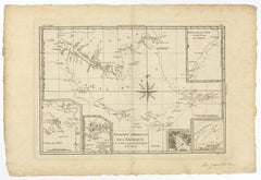
Copper Engraved Map of Tierra del Fuego and the Strait of Magellan, c1780

Copper Engraved Map of Tierra del Fuego and the Strait of Magellan, c1780

Located in Langweer, NL

Copper engraved map of Tierra del Fuego and the Strait of Magellan with five detailed insets of the region showing soundings, anchorages, etc.

Category

Antique 1780s Maps

Materials

Paper

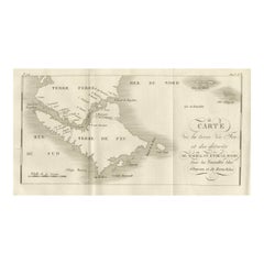
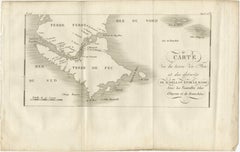
Map of Tierra del Fuego and the Straits of Magellan and Le Maire, c.1760

Map of Tierra del Fuego and the Straits of Magellan and Le Maire, c.1760

Located in Langweer, NL

Map of Tierra del Fuego and the Straits of Magellan and Le Maire, c.1760 This 18th-century copperplate map, titled Carte de la Terre de Feu et des Détroits de Magellan et de le Mair...

Category

Antique Mid-18th Century French Maps

Materials

Paper

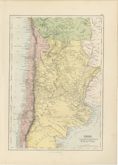
Antique Chile, Argentina & Bolivia Map, Patagonia, Bartholomew, 1884

Antique Chile, Argentina & Bolivia Map, Patagonia, Bartholomew, 1884

Located in Langweer, NL

Keywords: Chile, Argentina, Bolivia, Patagonia, Tierra del Fuego, Strait of Magellan, Santiago, Valparaiso, Buenos Aires, Mendoza, Cordoba, Rosario, La Paz, Potosí, Salta, Tucumán, A...

Category

Antique Late 19th Century Scottish Maps

Materials

Paper

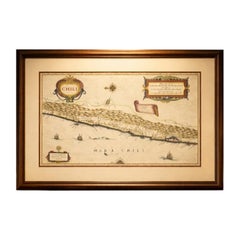
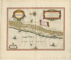
Antique Chile Map Blaeu c.1642 – Dramatic Andes & Pacific Panorama

Antique Chile Map Blaeu c.1642 – Dramatic Andes & Pacific Panorama

Located in Langweer, NL

Particularly effective in a study, library, or refined modern interior. Keywords: Chile map, Santiago, Valparaiso, Valdivia, Concepcion, Copiapo, Coquimbo, La Serena, Chiloe Island,...

Category

Antique Mid-17th Century Dutch Maps

Materials

Paper

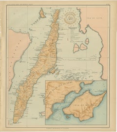
Map of the Island of Cebu – Observatorio de Manila, 1899

Map of the Island of Cebu – Observatorio de Manila, 1899

Located in Langweer, NL

A detailed inset in the lower right corner depicts the southern section of Cebu, focusing on Mactan Island and its surrounding waters — historically significant as the site of Magell...

Category

Antique 1890s Philippine Maps

Materials

Paper

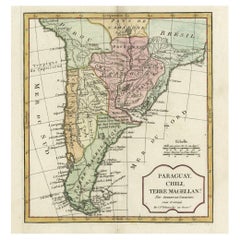
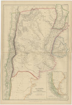
La Plata, Chile, Paraguay, Uruguay and Patagonia, Antique Map, Blackie, 1859

La Plata, Chile, Paraguay, Uruguay and Patagonia, Antique Map, Blackie, 1859

Located in Langweer, NL

Blackie, Scotland, 1859 Keywords: La Plata map, Chile, Chili, Patagonia, Paraguay, Uruguay, Buenos Aires, Montevideo, Santiago de Chile, Andes Mountains, Rio de la Plata, Paraná Riv...

Category

Antique Mid-19th Century British Maps

Materials

Paper

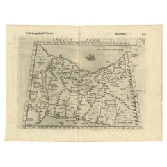
Exploring Ancient Persia: Ptolemaic Map of Iran and Iraq by Ptolemy and Mercator

Exploring Ancient Persia: Ptolemaic Map of Iran and Iraq by Ptolemy and Mercator

Located in Langweer, NL

As geographic knowledge increased with the explorations of Columbus, Magellan, Cabot and others, maps of the New World were added, and maps of the Old World were revised.

Category

Antique 1610s Maps

Materials

Paper

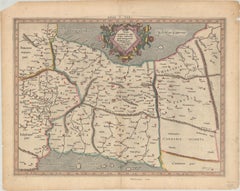
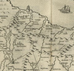
Old Ptolemaic Map of the Region Between the Persian Gulf and Caspian Sea, 1598

Old Ptolemaic Map of the Region Between the Persian Gulf and Caspian Sea, 1598

Located in Langweer, NL

As geographic knowledge increased with the explorations of Columbus, Magellan, Cabot and others, maps of the New World were added, and maps of the Old World were revised.

Category

Antique 16th Century Maps

Materials

Paper

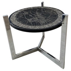
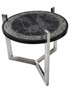
Etched Slate and Chrome Magellan World Map Side/End Table, 1970

Etched Slate and Chrome Magellan World Map Side/End Table, 1970

Located in Chicago, IL

Etched Slate and Chrome Magellan World Map Side/End Table, 1970’s. Measures 1.25” tall 24” diameter

Category

Vintage 1970s American End Tables

Materials

Slate, Chrome

Recent Sales

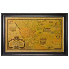
Charles Lindbergh Signed Oveland and Overseas Flight Path Map, circa 1928

Charles Lindbergh Signed Oveland and Overseas Flight Path Map, circa 1928

Located in Colorado Springs, CO

This is a Charles Lindbergh signed (on the lower right portion just above the image of Ferdinand Magellan's Ship) vintage map "Showing The Overland and Overseas Flights Of Charles A.

Category

Vintage 1920s American Aviation Objects

You May Also Like

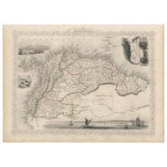
Antique Map of the Northern Part of South America by J. Tallis, circa 1851

Antique Map of the Northern Part of South America by J. Tallis, circa 1851

$251Sale Price|20% Off

H 10.6 in W 14.41 in D 0.01 in

Antique Map of the Northern Part of South America by J. Tallis, circa 1851

Located in Langweer, NL

A decorative and detailed mid-19th century map of the northern part of South America (including modern day Venezuela, Colombia, Ecuador, Guyana, Suriname and French Guiana) which was...

Category

Antique Mid-19th Century English Maps

Materials

Paper

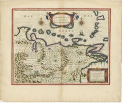
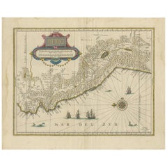
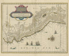
Blaeu Venezuela Map – Decorative Caribbean & Nueva Andalusia Chart 1642

Blaeu Venezuela Map – Decorative Caribbean & Nueva Andalusia Chart 1642

Located in Langweer, NL

Blaeu Venezuela Map – Decorative Caribbean & Nueva Andalusia Chart 1642 A highly decorative and historically important map of Venezuela and the northern coast of South America, publ...

Category

Antique Mid-17th Century Dutch Maps

Materials

Paper

Antique Map of South America by J. Cook (1775)

Antique Map of South America by J. Cook (1775)

$675

H 18.51 in W 21.07 in D 0.02 in

Antique Map of South America by J. Cook (1775)

Located in Langweer, NL

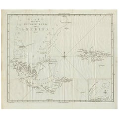
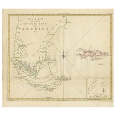
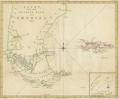
Antique map titled 'Kaart van het Zuidlyk Eind van Amerika'. Map of the sourthern part of South America, focusing on Cook's tracks around the Cape Horn and Tierra del Fuego in 1775. ...

Category

Antique Late 18th Century Maps

Materials

Paper

Antique Map of South America by J. Cook, 1775

Antique Map of South America by J. Cook, 1775

$658

H 18.9 in W 20.87 in D 0.02 in

Antique Map of South America by J. Cook, 1775

Located in Langweer, NL

Antique map titled 'Kaart van het Zuidlyk Eind van Amerika'. Map of the sourthern part of South America, focusing on Cook's tracks around the Cape Horn and Tierra del Fuego in 1775. ...

Category

Antique Mid-18th Century Maps

Materials

Paper

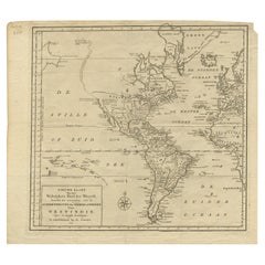
Excellent Antique Map of America with Unusual Northwest Coast of America, c.1754

Excellent Antique Map of America with Unusual Northwest Coast of America, c.1754

Located in Langweer, NL

Description: Antique map titled 'Nieuwe Kaart Van het Westelykste Deel Der Weereld, dienende tot aanwyzing an de Scheepstogten der Nederlanderne Naar West Indie.' Excellent map of Am...

Category

Antique 1750s Maps

Materials

Paper

Antique Map of Peru in South America by Blaeu, circa 1645

Antique Map of Peru in South America by Blaeu, circa 1645

$644Sale Price|24% Off

H 18.12 in W 22.45 in D 0.02 in

Antique Map of Peru in South America by Blaeu, circa 1645

Located in Langweer, NL

Antique map titled 'Peru'. Original antique map of Peru. With cartouche, compass rose, ships and two sea-monsters. Published by W. Blaeu, circa 1645.

Category

Antique Mid-17th Century Dutch Maps

Materials

Paper

Antique Map of the Dusky Bay or Dusky Sound of New Zealand by Captain Cook, 1803

Antique Map of the Dusky Bay or Dusky Sound of New Zealand by Captain Cook, 1803

Located in Langweer, NL

Antique map New Zealand titled 'Schets van de Donkere Baai in Nieuw Zeeland 1773'. Antique map of the Dusky Bay/Dusky Sound of New Zealand. Detailed depth soundings around Picker...

Category

Antique Early 1800s Maps

Materials

Paper

Original Antique Engraved Map of Part of the Red Sea, Arabia, 1775

Original Antique Engraved Map of Part of the Red Sea, Arabia, 1775

Located in Langweer, NL

Antique map titled 'Carte de l'Entrée du Golfe de la Mer Rouge'. Uncommon sea chart of the entrance to the Red Seas as far as Mocha, with rhumb lines and soundings. Two insets of the...

Category

Antique Late 18th Century Maps

Materials

Paper

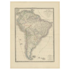
Antique Map of South America by Lapie '1842'

Antique Map of South America by Lapie '1842'

$440

H 26.78 in W 19.89 in D 0.02 in

Antique Map of South America by Lapie '1842'

Located in Langweer, NL

Antique map titled 'Carte Générale de l'Amérique Meridionale'. Map of South America. This map originates from 'Atlas universel de géographie ancienne et moderne (..)' by Pierre M. La...

Category

Antique Mid-19th Century Maps

Materials

Paper

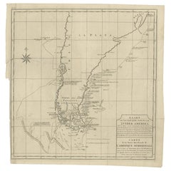
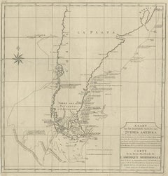
Antique Map of South America by G. Anson, 1749

Antique Map of South America by G. Anson, 1749

$400

H 20.87 in W 20.48 in D 0.02 in

Antique Map of South America by G. Anson, 1749

Located in Langweer, NL

Antique map titled 'Kaart van het Zuidelykste Gedeelte van Zuider Amerika (..) - Carte de la Partie Meridionale de l'Amerique Meridionale (..)'. Detailed chart tracking the route of ...

Category

Antique Mid-18th Century Dutch Maps

Materials

Paper

Antique Map of Anjouan Island by Valentijn, 1726

Antique Map of Anjouan Island by Valentijn, 1726

$491

H 13.19 in W 8.08 in D 0.02 in

Antique Map of Anjouan Island by Valentijn, 1726

By F. Valentijn

Located in Langweer, NL

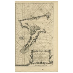
Antique map titled 'Anzuany'. This map depicts the island of Anjouan, one of the Comoros islands situated between Madagascar and Africa. The map is oriented with north to the left wi...

Category

Antique Early 18th Century Dutch Maps

Antique Map of Juan Fernandez Island by Anson '1749'

Antique Map of Juan Fernandez Island by Anson '1749'

$183Sale Price|20% Off

H 10.44 in W 16.54 in D 0.02 in

Antique Map of Juan Fernandez Island by Anson '1749'

Located in Langweer, NL

Antique map titled 'l'Ile de Juan Fernandes dans la Mer du Sud (..) - Het Eiland Juan Fernandes in de Zuid Zee (..)'. This map depicts Juan Fernandez Island in the Southern Sea. This...

Category

Antique Mid-18th Century Maps

Materials

Paper

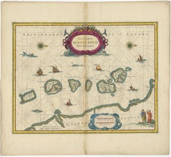
Beautiful Antique Map of the Moluccas or Spice Islands, Indonesia, ca.1650

Beautiful Antique Map of the Moluccas or Spice Islands, Indonesia, ca.1650

$677Sale Price|20% Off

H 20.87 in W 22.64 in D 0 in

Beautiful Antique Map of the Moluccas or Spice Islands, Indonesia, ca.1650

Located in Langweer, NL

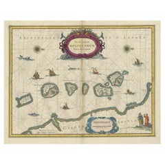
Antique map titled 'Insularum Moluccarum Nova Descriptio.' Beautiful map of the Moluccas. The famous Spice Islands, the cornerstone of the Dutch trading empire in the East Indies...

Category

Antique 1650s Maps

Materials

Paper

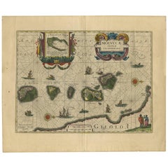
Antique Map of the Spice Islands 'Moluccas', Indonesia by W. Blaeu, circa 1640

Antique Map of the Spice Islands 'Moluccas', Indonesia by W. Blaeu, circa 1640

By Willem Blaeu

Located in Langweer, NL

Antique map titled 'Moluccae Insulae Celeberrimae'. Highly decorative antique map of the Spice Islands (Moluccas) published by W. Blaeu (circa 1640). This map features a large inset ...

Category

Antique Mid-17th Century Dutch Maps

Materials

Paper

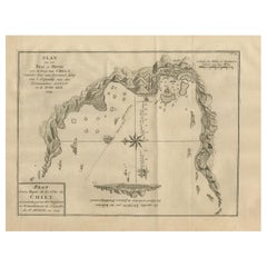
Antique Map of a Bay on the Coast of Chile, South America, c.1749

Antique Map of a Bay on the Coast of Chile, South America, c.1749

Located in Langweer, NL

Antique map titled 'Plan van een Baai en Haven aan de Kust van Chili (..) - Plan d'une Baye de la Côte du Chili (..)'. Original antique map of a bay on the coast of Chile discovered ...

Category

Antique 18th Century Maps

Materials

Paper

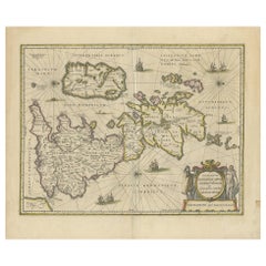
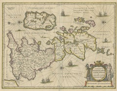
Antique Map of the Ancient British Isles by Janssonius, circa 1640

Antique Map of the Ancient British Isles by Janssonius, circa 1640

Located in Langweer, NL

Antique map titled 'Insularum Britannicarum Acurata Delineatio'. Original antique map of the ancient British Isles. England and Wales are labelled as Britannia Superior, and further ...

Category

Antique Mid-17th Century Dutch Maps

Materials

Paper

Get Updated with New Arrivals
Save "Magellan Map", and we’ll notify you when there are new listings in this category.

Magellan Map For Sale on 1stDibs

Choose from an assortment of styles, material and more with respect to the magellan map you’re looking for at 1stDibs. Frequently made of paper, every magellan map was constructed with great care. There are many kinds of the magellan map you’re looking for, from those produced as long ago as the 18th Century to those made as recently as the 19th Century. A well-made magellan map has long been a part of the offerings for many furniture designers and manufacturers, but those produced by Jacques-Nicolas Bellin are consistently popular.

Finding the Right Collectibles-curiosities for You

Antique and vintage collectibles and curiosities can bring whimsy and wonder to any interior. 

Decorating with old scientific instruments, historical memorabilia and vintage musical instruments, as well as other authentic collectibles and curiosities that can be found on 1stDibs, presents an opportunity to create a unique, natural history museum-like atmosphere in your home that can provoke conversation as often as it pays tribute to how far we’ve come in understanding our world. 

And bringing collectibles and curiosities into your space is actually on trend — Wunderkammern, or curiosity cabinets, were all the rage in Europe during the 1500s and continued to have adherents there and in the U.S. in the following centuries. Today, however, they’re experiencing a real surge in popularity and influencing how many interior designers are furnishing and decorating homes — combining contemporary with antique, scientific with tribal, earthly with extraterrestrial, Les Lalanne tables with Flemish tapestries.

The original Wunderkammern were entire rooms filled with objects demonstrating their owners’ worldly knowledge: A proper one included artificiala or preciosa (objets d’art); naturalia (such as skeletons, shells, minerals); exotica (taxidermy or dried plants); and scientifica (scientific instruments), frequently alongside religious relics and ancient artifacts.

Pay tribute to a history of rich and diverse musical traditions that have taken shape all over the world by decorating your home with a collection of antique and vintage musical instruments — with a little help from strong hanging wire or some wall hooks, vintage brass instruments such as a gong, French horn or trumpet can help elevate a home office or complement the efforts you’ve made to ensure a welcoming vibe in your home’s entryway. Bells or antique wind instruments can add provocative metallic contrasts to dark woods as tabletop decorative objects.  

Create an intriguing focal point with Georgian scientific instruments, such as stick barometers with mahogany cases or lacquered brass telescopes. These items stem from an era named for the monarchies of the four King Georges, who ruled England in succession starting in 1714 (plus King William’s reign, which lasted until 1837). Just as there was beautiful jewelry produced during the period that today is coveted by collectors, there is much to be found in the collectibles and curiosities realm too.

Wanderlust, nostalgia and a shared love of good design are contributing factors to certain trends in decorating — just as vintage trunks and luggage have reappeared as furniture or home accents in a bedroom or foyer, decorating with globes, maps or nautical objects is similarly rooted in the allure of travel and a penchant for the stylish finishing touch that collectibles bring to our homes.

Find a wide range of antique and vintage collectibles and curiosities on 1stDibs.
Read More