1750s Maps
to
54
65
1
66
1
2,930
2,261
475
3
290
34
10
126
10
37
9
2
5
4
3
3
66
1
1
1
4
3
1
66
66
66
Period: 1750s
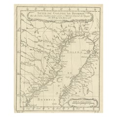
Antique Map of the Gulf of Bothnia, the Northernmost Arm of the Baltic, 1759
Located in Langweer, NL
Antique map titled 'Suite du Golphe de Bothnie'.
Original antique map of the Gulf of Bothnia, the northernmost arm of the Baltic Sea. It is situated between Finland's west coast ...
Category
Antique 1750s Maps
Materials
Paper
$228 Sale Price
20% Off
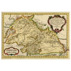
Nicely Hand-Colored Antique Map of Part of India, the Ganges & Hindustan, 1755
Located in Langweer, NL
Antique map titled 'Carte de l'Inde en deca du Gange comprenant l' Indoustan (..)'
A map of part of India, the Ganges and Hindustan. From: Antoine Francois Prevost d'Exiles' (or ...
Category
Antique 1750s Maps
Materials
Paper
$609 Sale Price
20% Off
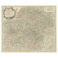
Map of the Circle of Franconia, Germany Bamberg, Wurtzburg and Nuremberg, 1757
Located in Langweer, NL
Antique map titled 'Cercle de Franconie (..)'.
Map of the Circle of Franconia, Germany. Centered on Bamberg, Wurtzburg and Nuremberg. This map originates from 'Atlas Universel (..)'.
Artists and Engravers: Gilles Robert de Vaugondy (1688 - 1766), also known as Le Sieur or Monsieur Robert, and his son, Didier Robert de Vaugondy (c.1723 - 1786), were leading mapmakers in France during the 18th century. In 1757, they published The Atlas Universel, one of the most important atlases of the 18th century. To produce the atlas, the Vaugondys integrated older sources with more modern surveyed maps...
Category
Antique 1750s Maps
Materials
Paper
$523 Sale Price
20% Off
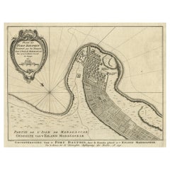
Antique Plan of Fort Dauphin on Madagascar of the East Coast of Africa, 1756
Located in Langweer, NL
Antique map titled 'Plan du Fort Dauphin (..) -
Grondtekening van 't Fort Dauphin'. Plan of Fort Dauphin on the island of Madagascar of the east coast of Africa. This print origi...
Category
Antique 1750s Maps
Materials
Paper
$228 Sale Price
20% Off
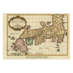
Nice Antique Map of the Empire of Japan. Centered on the Bay of Osaka, ca.1752
Located in Langweer, NL
Antique map titled 'Carte de L'Empire de Japon (..).'
Map of the Empire of Japan. Centered on the Bay of Osaka, this map covers from Hirado (here identified as I. Firando) and Naga...
Category
Antique 1750s Maps
Materials
Paper
$904 Sale Price
20% Off
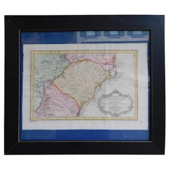
French Framed Copper Engraved Hand Colored Map of Carolina & Georgia, Circa 1757
Located in Charleston, SC
French copper engraved hand colored map of Carolina & Georgia matted under glass with a painted frame, mid-18th century
Category
French Louis XV Antique 1750s Maps
Materials
Glass, Wood, Paint, Paper
